Ride into Lum Nam Pai Wildlife Preserve area

MastaMax

Senior Member
Joined
Apr 28, 2011
Bikes
19 ktm 300tpi 6 days / 15 Yamaha YZ250F / 08 Husky 450SMR / 13 ER6N / 13 KTM 300XCW(sold)
Just back from our 3 days ride with Alex "ThePoMoBro".

Will write the ride report tomorrow, in the meantime here is a short teaser:
[VIDEO]http://www.youtube.com/watch?v=bPyJPhgqEbs[/VIDEO]
 
Re: 3 days off the tarmac : CNX - Wat Chan - ... - Pai - CNX

Cool, man. Will email you pictures tomorrow when I'm at work. Good trip.
 
Re: 3 days off the tarmac : CNX - Wat Chan - ... - Pai - CNX

great stuff guys ---will be back from pattaya tomorrow.....luke won the sb3 1,000cc class today at bira race track.
 
Re: 3 days off the tarmac : CNX - Wat Chan - ... - Pai - CNX

Just watched the video and thought it looked bloody dry (then I saw the second half)
 
Video currently uploading, it's time for a short report of the events.

This is a 3 days ride during rain season (end of rain season) 23rd-25th of September 2011. Alex "ThePoMoBro" and me decided to leave town for 3 days of riding. We didn't set a fixed plan but the idea was to ride west to the Wat Chan area (actually totally misspelled on the map, it's pronounced "wat djahn" like "temple Monday" in Thai). The second idea was to avoid as much road as possible.

So we left Santitam Friday around 11:30 for the 700yrs stadium and off road to Pong Yaeng then across the road to North Samoeng on the minor road / truck road.
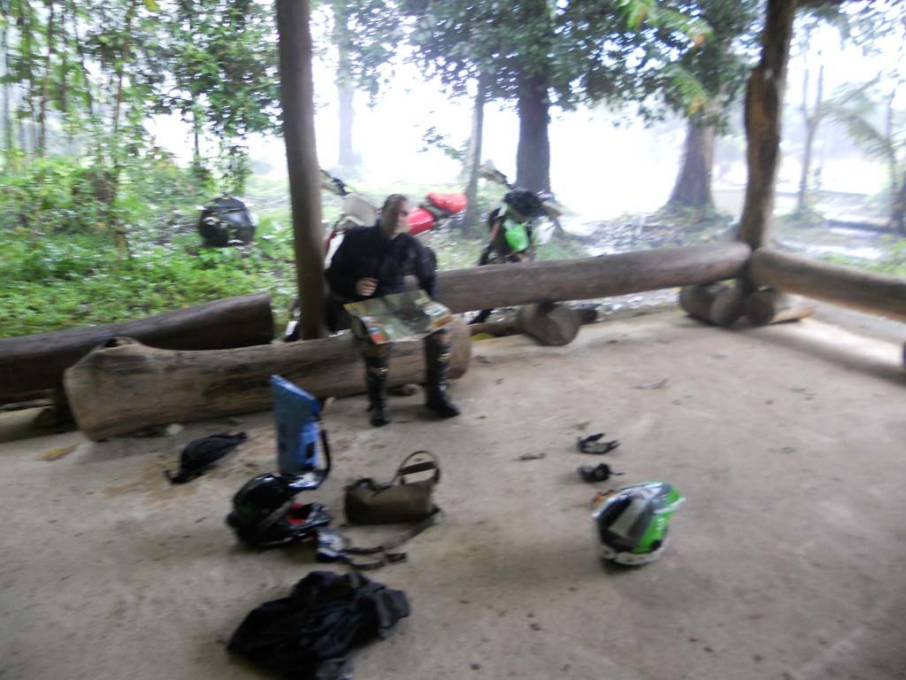
DSCN0479.jpg

Then we had some more large dusty roads until about 5pm when we started to climb up somewhere in the Samoeng Wildlife reserve. Around 6pm I stupidly slipped off the edge of the trail and the more I tried to get up the deeper I went down so it was towing time... We took the rope out and got the bike out in about 45minutes. Good exercise, first time we tried Alex's new 15m rope.

By the time we got the bike out it started to get dark and the trail was deteriorating faster than the sun went down. Very soon we were in the pitch black forest on trails that we couldn't even walk on (as it was so slippery) and checking the gps we realized we still had a long way uphill. After taking our headlamps out and a lot of sweat we got up, then went down and finally got to a small village. The question came do we want to stay here overnight or cruise all the way to Wat Chan. We encountered a bunch of guys drinking whiskey outside and asked them the condition of the trail to Wat Chan. They said it's okay no problem with our bikes, probably less than an hour. So we decided to ride another hour in the pitch black, but this time on a large dust truck road with loads of land slides...
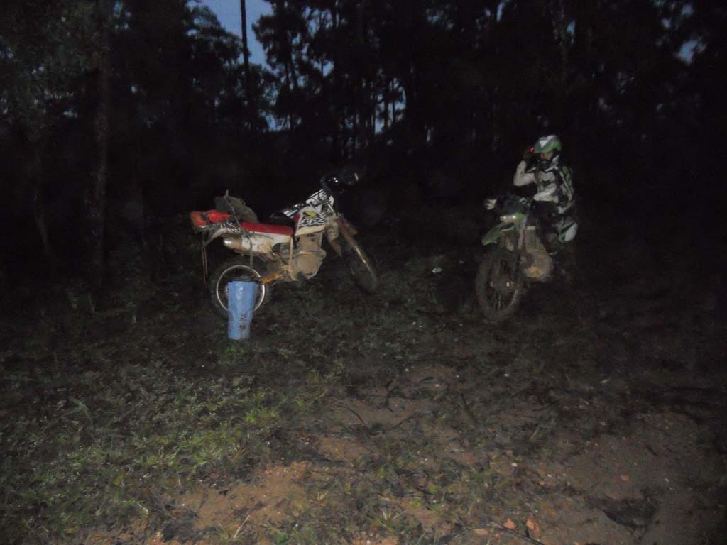
DSCN0484.jpg

We managed to get to Wat Chan by 9pm and found one small food place. We asked them about a place to stay and the guy called a resort 5 km further on the road to wait for us on the road as it was difficult to find (just a wooden sign saying Pine forest Royal Project in thai on the road). We made it to our little house around 9:30-10pm.
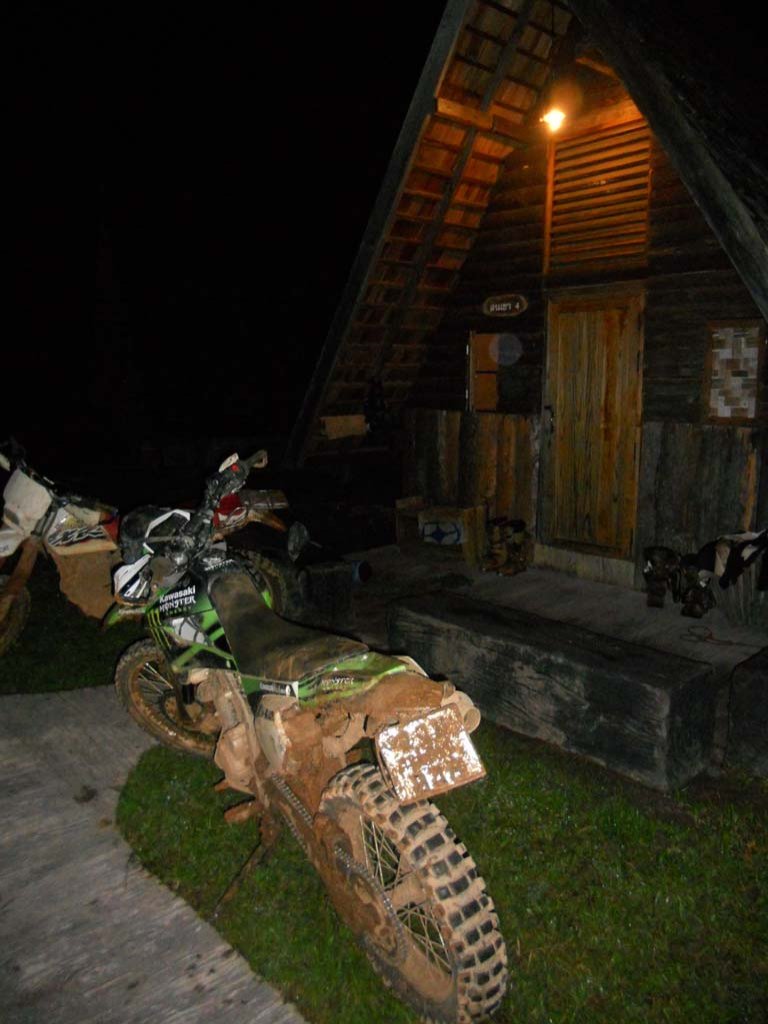
DSCN0485.jpg

In the morning we left around 11am after some rice soup and a bill of 400baht for room and breakfast. As we didn't have any plans we had now 2 options, go south all the way to Mae Chaem or, as Alex suggested, go mapping new trails in that big green area between Pai and MHS. We opted for the 2nd option and off we went on the track from Wat Chan to MHS. Half way through we stopped at a village and asked a hunter (who need a translator Thai-Karen) if there were trails that went across the forest. He said there is a small single track that will get you close. So we decided to give it a go. We easily found the trail and checked the gps, not a single track near by :) good feeling to be the first to get on a new single track. Over confident Alex slipped out of the trail and there was a second chance to test his new rope (no so much new anymore).

On the road we saw this kind of weird religious thing... chicken heads and legs hanging...
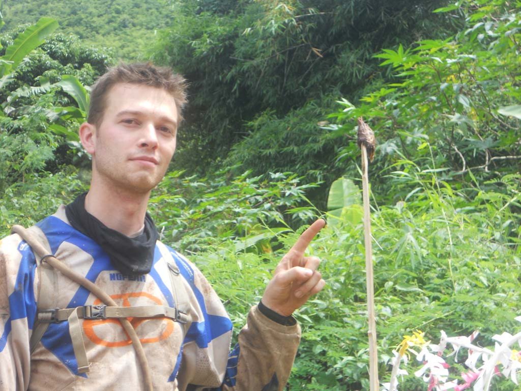
DSCN0490.jpg

Talking religion, we found this church and asked a villager if this was tai yai but he said no it's karen (karen alphabet looks very similar to the burmese):
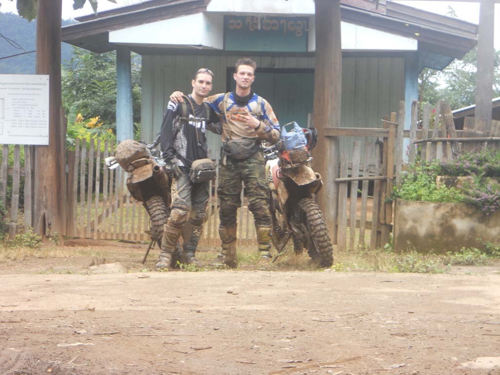
DSCN0489.jpg

After a while on this track we got to a village without electricity and restaurant, so we didn't stop and just went through it following some muddy agricultural track. After about 20km on that track we were pretty close to the Mae Nam Pai (Pai river) but it was 4:30pm and we were more than over half of the fuel tank. We had to take a decision and we wisely (for once) decided to trace back and take another trail along the river all the way to Pai.

We had a nice fast ride to Pai and got there by about 6:30, had some food (loads of food, as we didn't stop to eat all day), a massage then bedtime... Too tired to go out and Pai sucks anyways, won't list the reasons here...

Sunday morning we had to adjust the chains as they were very loose, clean the bikes a bit and off we went, nothing special for Sunday, just the classic off road trail from top of the first hill down south. Lot of wet sand on the trail, but nothing causing any trouble except our mechanical issues. Alex's kick start was badly fucked up and I got sand or some crap in my front brake that made it very sticky and didn't react as it should.
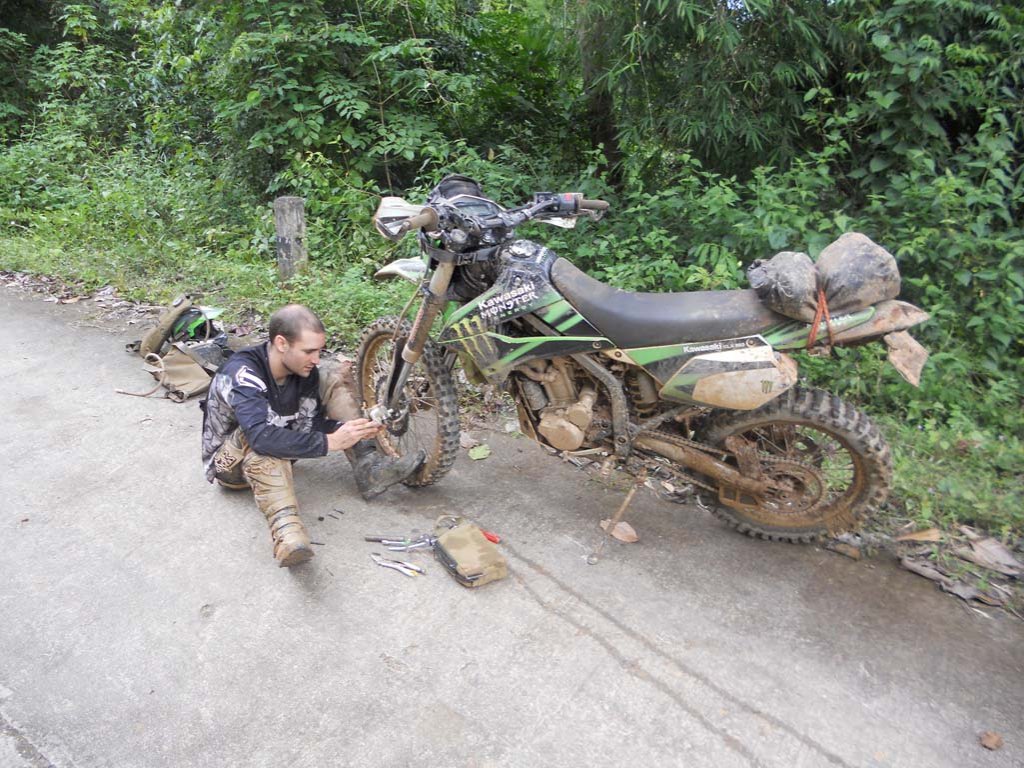
DSCN0493.jpg

So half way we decided to connect east to Pa Pae and take the road home. This was the only section of big road we did and would have avoided it we hadn't those mechanical issues.

Pictures taken by Alex.
 
Looks like you're having a ball in the middle of rainy season, the dry season will seem boring!

Did you discover many new trails that wern't on Auke's north Thailand GPS map?
 
Video:

[VIDEO]http://vimeo.com/29652241[/VIDEO]
I think the track pointed in the video is not 100% accurate, I don't have the whole track.

Phil, not sure, you better ask Alex he had the gps. I think from wat chan up north then east up to 5km before Pai it's all not on Auke's map.
 
Attached below is the track I just pulled off my GPS. It's kind of bits and pieces in places since the unit ran out of batteries at one point and was in a bag so accuracy isn't perfect.

View attachment MaeHongSon.rar

One trail that should definitely be added to the North Thailand map is the singletrack cut-off North from the main Watchan-MaeHongSon trail (marked on my GPX by a waypoint). It gets you into a big network of truck roads accessing Karen outposts (some already on the North Thailand map) North of this area. If you don't have a GPS, it's still pretty easy to find as it is on your right at the top of a mountain just 1km past the village of Huai Poo Leeoy on the Wat-Chan to Mae Hong Son trail. Locals will know it well.

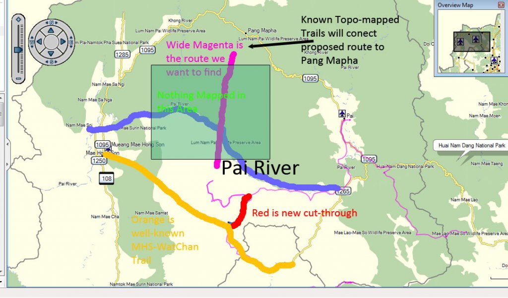
Our objective was to cut due North across the 40km space inside the 1095 road loop where maps show no roads or villages. A few local hunters and another two guys we met in the village of Huai Poo Leeoy (this Romanization is surely very wrong) seemed to think you could get through but I doubt they knew from experience.

Coming from the South, we got very close to the Pai river before running low on daylight (I was also in a bit of a shit mood as my kickstart was about to break off). I think if you could find a way across the river (maybe you can ride through it in the dry season?) you could probably find something (at least a walking trail) to connect with trails (shown on topographical maps of the area) that come South from Pang Mapha.

An important note on using GPS in this area: Many rough truck roads and even agricultural access trails are surprisingly well-mapped on the Garmin topographical maps but if your North Thailand/RideAsia map is enabled on a Garmin 60, you will never know they are there (the contour lines will be shown so you will think you have the topo data, but the trails disappear). You need to turn off the RideAsia map since the limited RideAsia trails are on the topo already, but enabling the RideAsia map will make all the topo trails invisible. Hopefully this will be addressed in future revisions.

Looking forward to trying to make it all the way through when we can dedicate a couple days to this. I'm ready when you are. But I think it's time to buy a proper helmet-mounted, external battery trail lighting system for all this night riding. :lost
 
Great stuff the wet season warriors, you guys are sure doing some riding awesome work!! :RO

P.s I thought there was a GPS track going from the Wat Chan- MHS trail to Pai link up, I also heard from John the owner of cave lodge that the track is doable in 4by4. This trail would open up so many more loops in the area just someone needs to make it through successfully!!!
 
Stokes70 said:
Great stuff the wet season warriors, you guys are sure doing some riding awesome work!! :RO

P.s I thought there was a GPS track going from the Wat Chan- MHS trail to Pai link up, I also heard from John the owner of cave lodge that the track is doable in 4by4. This trail would open up so many more loops in the area just someone needs to make it through successfully!!!

Hey Luke. Thanks for the compliment and giving this thread a bump. We found a trail linking the MHS-WatChan trail North to the truck road network of Karen villages South of the Pai river (red on my map). Is that what you were talking about? It wasn't on the map although there was something mapped that performed a similar function another 20km West (did not see it ourselves). You would not want to take a 4x4 on the trail we discovered.

We want to cut straight North through the middle of the 1095 loop. We would leave the West-East MHS-WatChan trail near Huai Poo Leeoy (the unmapped trail we found last weekend) and join the truck roads south of the Pai River and continue North and cross the Pai river somewhere deep in the forest so we can continue all the way up to Soppong.

But I don't see any bridges across the river. Maybe it's shallow in the dry season somewhere?

The wide magenta color North-South is what I want to find. There are several trails in the truck road network South of the river heading North (near the thin Magenta track - our route last week) that get kind of close to the Pai river but they stop in villages. It might be trial and error finding one that connects to something that cuts through the forest and also figuring out how to get across the river. I'm hoping there's at least a walking trail continuing to the river that ends in some sort of crossing and from there find similar tiny trails North until you hit some mapped trails coming South from Pang Mapha.

newroute.jpg
 
How are you guys doing on fuel fills out in the back country ?? Can you hustle some in the villages ?? Cos those distances are starting to get on the outer limits of a one tank go no ??

One thing that worries me about my little 2 stroke is it seems to drink hard when ridden hard.. Just a couple of hours trail riding in Samoeng / Nahm Phrea trails had me on reserve and running back to rds to hunt some and I would assume the same on KLX's when at dirt speeds. Mostly so far I have been keeping on fairly close day trip explores in the local area as they are still 'new to me' trails.. But once dry season kicks in getting some more exploring will be on the cards.

Was thinking of picking up that nifty tail tank that Johhnysneds put on his KLX.
 
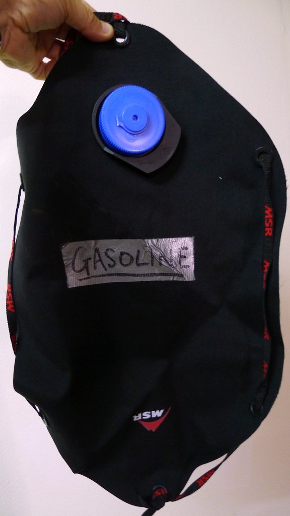
Interesting option for extra fuel are the MSR Dromedary bladders. They are rated for benzine apart from the filling cap which can be replaced with a Nalgene lid (http://store.nalgene.com/) which is rated for benzine.

BLADDER.jpg


Come in 2L,4L, 6L & 10 Liter sizes

MSR-Dromedary.jpg


Even though the bladder is completely sealed, it still emits benzine odors, so keep it away from food & clothing packed on your bike


Can be bought here:

http://www.facewest.co.uk/MSR-Dromedary.html


LivinLOS said:
How are you guys doing on fuel fills out in the back country ?? Can you hustle some in the villages ?? Cos those distances are starting to get on the outer limits of a one tank go no ??

One thing that worries me about my little 2 stroke is it seems to drink hard when ridden hard.. Just a couple of hours trail riding in Samoeng / Nahm Phrea trails had me on reserve and running back to rds to hunt some and I would assume the same on KLX's when at dirt speeds. Mostly so far I have been keeping on fairly close day trip explores in the local area as they are still 'new to me' trails.. But once dry season kicks in getting some more exploring will be on the cards.

Was thinking of picking up that nifty tail tank that Johhnysneds put on his KLX.

Realistically, every little hill tribe village has a few scooters or a little tractor these days and these all need fuel. You'll find someone with a drum of gasahol anywhere you go. You might have to go out of your way and waste a bit of time to find it but it's there somewhere.

When I used to ride my 2-stroke Dash, I was carrying a 20 ounce water bottle full in a backpack. Maybe not the best idea but pretty standard practice for trials and supercup riders around here in my experience.
 
On some of our longer rides that require extra fuel, a few of the guys run with an extra tank strapped to the rear mudguard.
They're made by an Aussie company & designed for different bikes. They come in different capacities too.

http://nomadtanks.com.au/Tanks.php

004446.jpg
 
There is no need for extra fuel or bigger tank on a klx that's for sure. The klx can take gasohol so really no worries you can find it in almost every village (just ask people). Then that's North Thailand, it might be otherwise in Laos...
 
Now dromedary softpack is a good product and at a low price..

Appeals a bit more than the tanks I have seen.
 
Nice thanks for that..
 
Back
Top Bottom