Midnitemapper
Senior Member
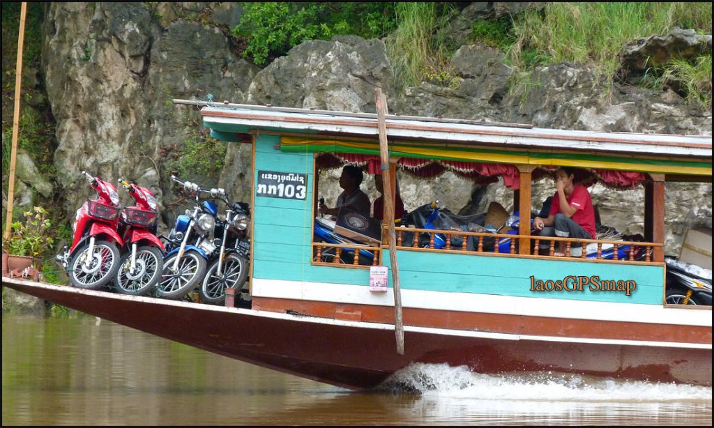
Speedboat on the Mekong Laos

Midnitemapper said:Bill,
There are 2 locals only crossings NW of Siempang.
I have visited both, with less than friendly reception (Kymer side).
However a friend took a motodop from Siempang to the border, Kymer stamped him out! The lao had no stamp, so he traveled around a few weeks showed up in Vientiane. Told his story to the immigration department and they asked him how many days did he want? No Money changed hands, he got 30 day visa!
I would not dare try that, but somebody did.
The Northern most crossing is B NAPAKIAP, graded all the way to highway13 about 30 k"s.


Midnitemapper said:Bill,
The LaosGPSmap is supplied GPS ready.
[glow=red:3synmgen]All the search database, and navigation functions are in your hands(the GPS).[/glow:3synmgen]Including automatic routing and other routing functions.
The data base is configured to make the Map as easy to use as possible for the end user.
That is it is designed to be used soley on the GPS.
Very few people will take the time to learn the functions and operations of these rather complicated navigation instruments.
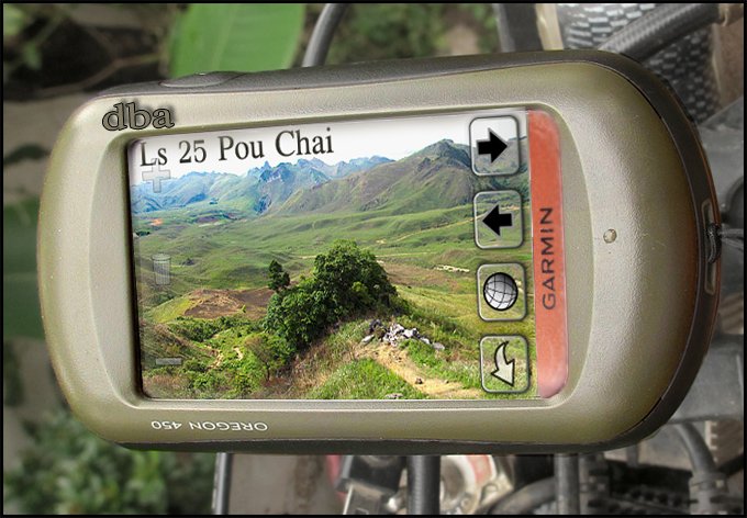
Here is an example of an Oregon 550 owner, who wants to find coordinates, for a helicopter landing, at a mine site.
[attachment=1:3synmgen]gpsinstructions3.jpg[/attachment:3synmgen]
This example the mine operator needs coordinates for boat landing. As all the roads are washed out![attachment=0:3synmgen]gpsinstructions2.jpg[/attachment:3synmgen]
*This is a very basic search of the database function.
To use this function one must understand the types of searches available and how to access them through the database.
*Creating and navigating routes is the next most important operation.
Find points along intended route
Create route and navigate it!


RoadcaptainPeter said:if I would know how to upload some of my pics....


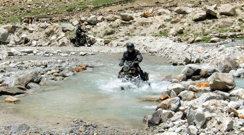
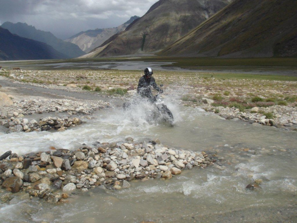
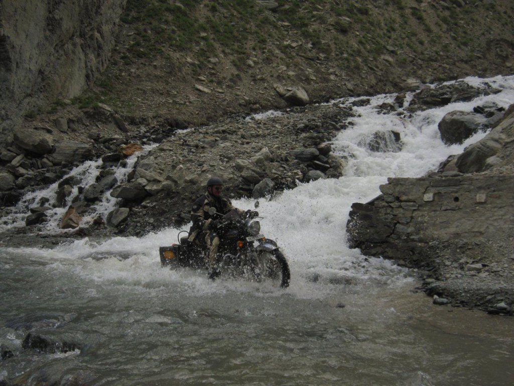
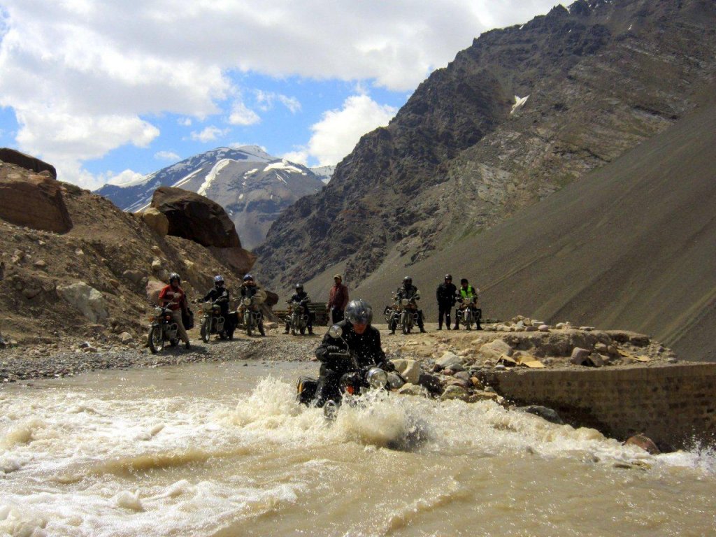
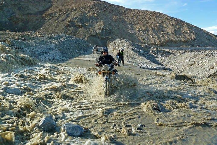
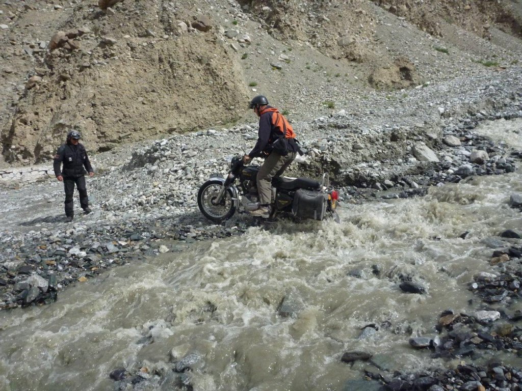
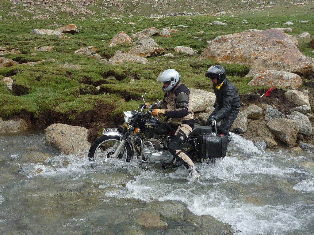
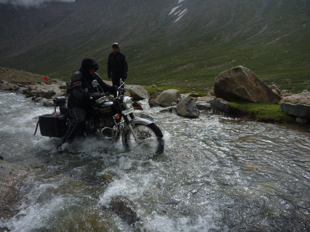
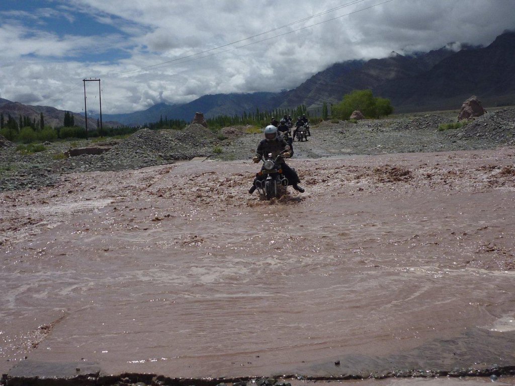
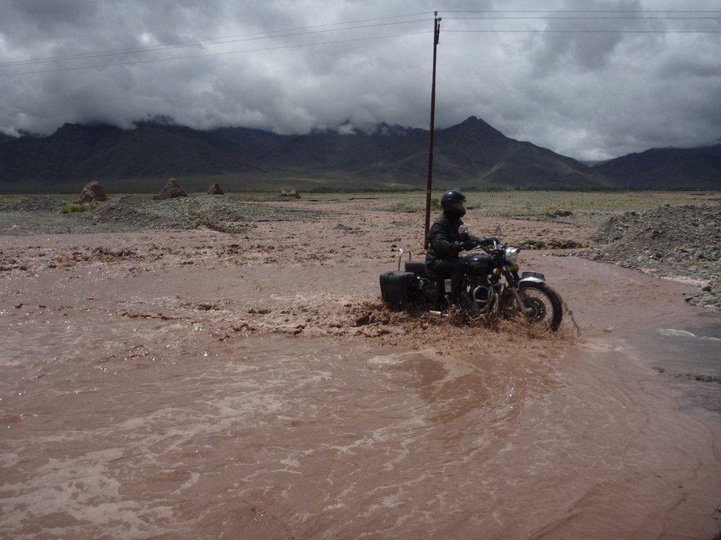
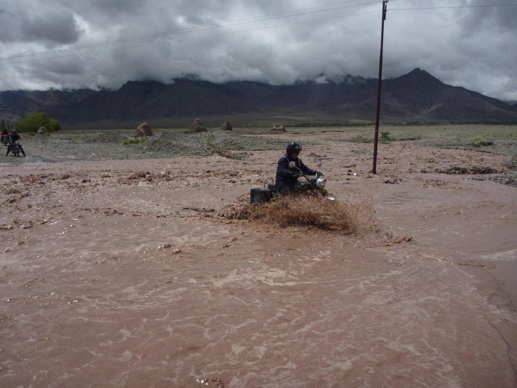
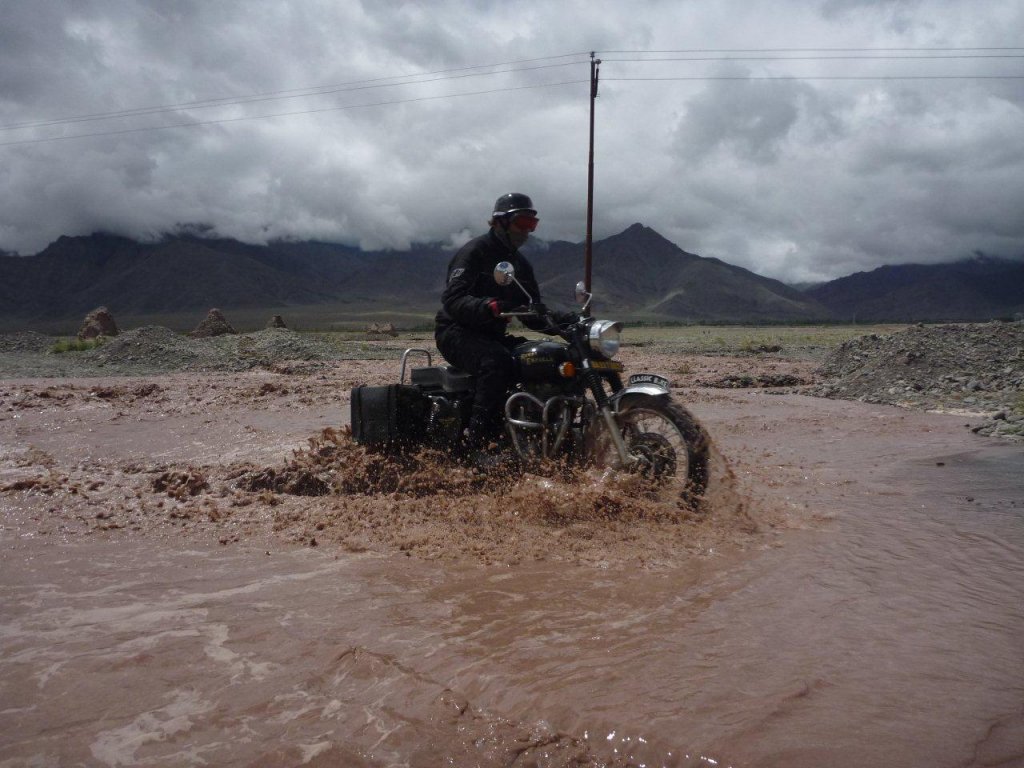
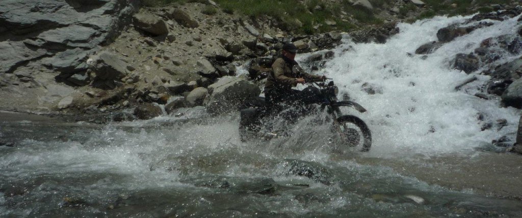
KTMphil said:Max & Alex USA today out "exploring" in rainy season
Photo: Max
 will post a video in the coming days.