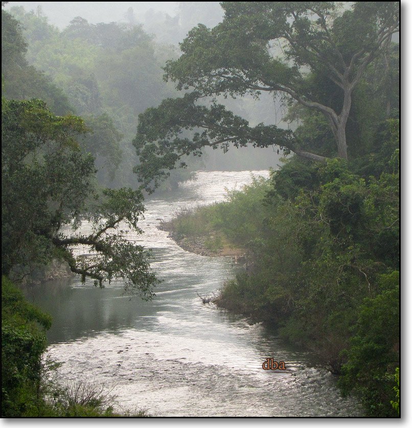
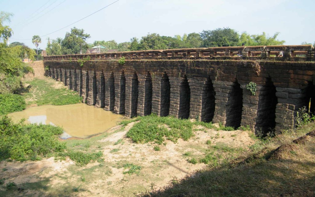
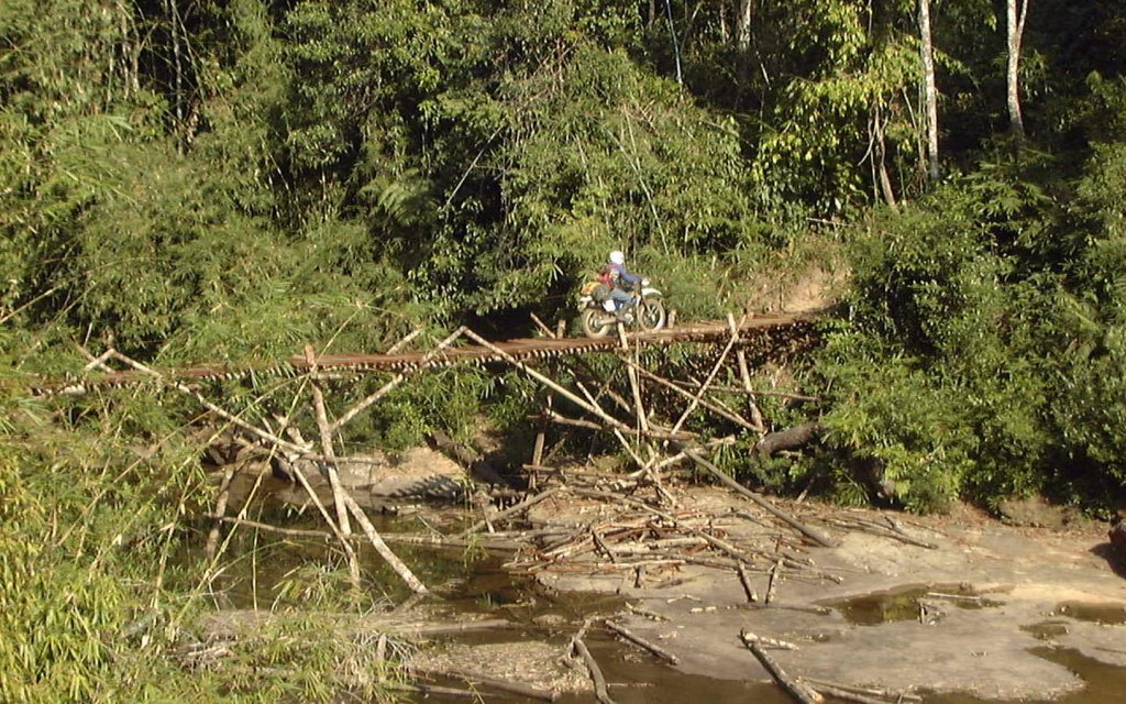
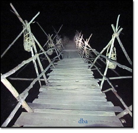
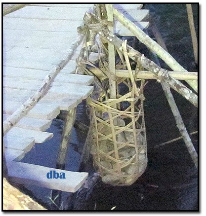
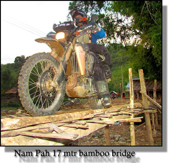
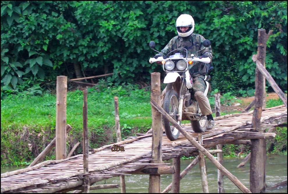
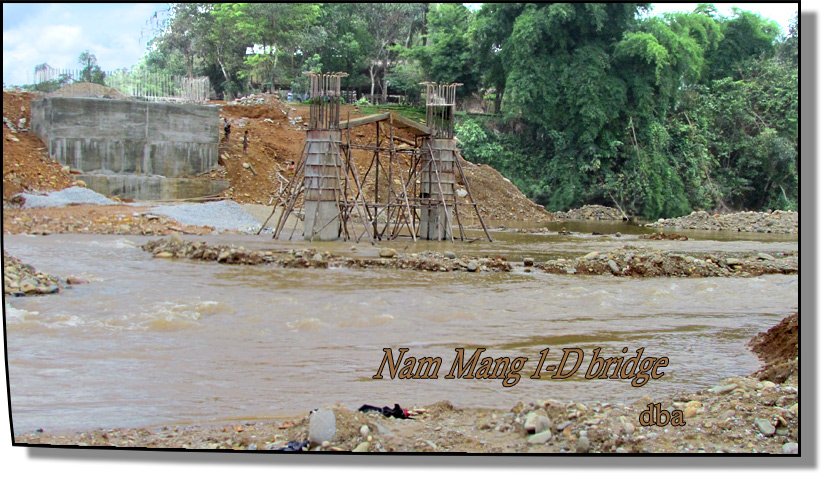
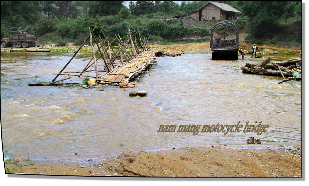
Some absolutely great Asian bridge crossings. Midnite Mapper has got some minging pics of them at their best.
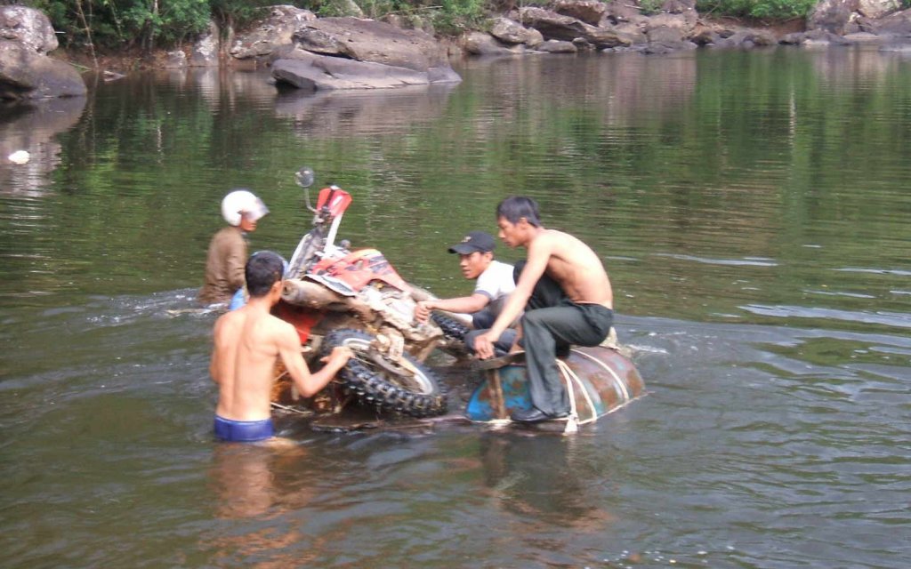
Glennoi that pic of them lobbing into the drink was hilarious!!! What was the outcome after the dunking??
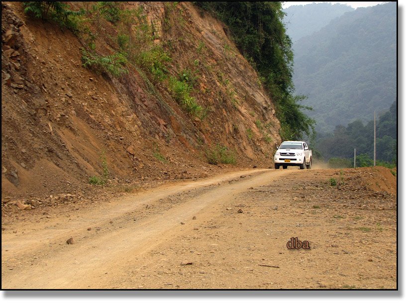
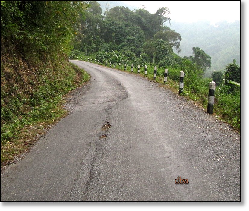
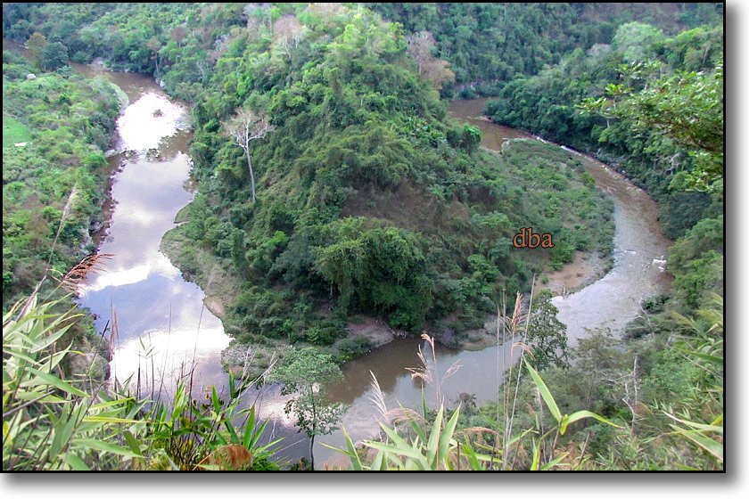
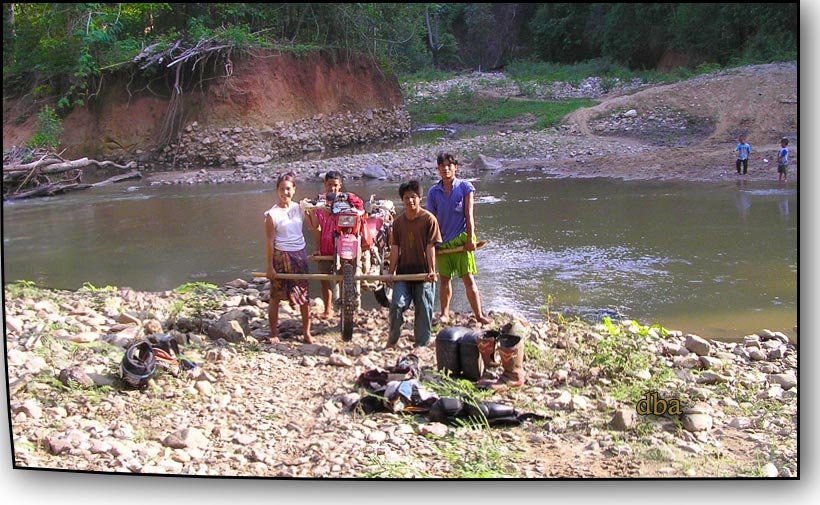
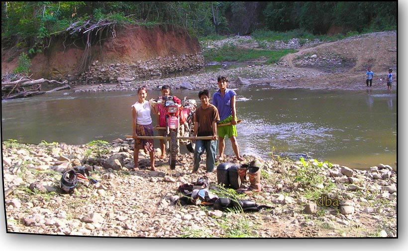
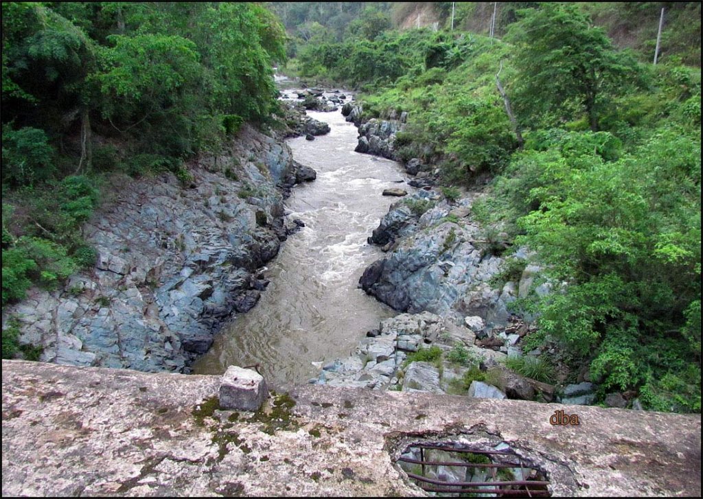
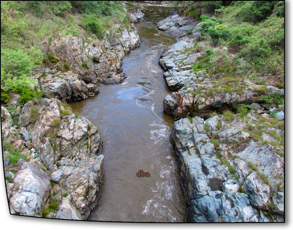
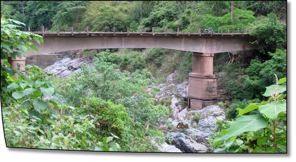
Alex I have not been on that Wieng heng to Muang Khong track in over a year, did they look like they are in the process of another bridge over the second crossing? How about the third crossing (coming from the Muang Khong direction)?
Glennoi that pic of them lobbing into the drink was hilarious!!! What was the outcome after the dunking??
Alex I have not been on that Wieng heng to Muang Khong track in over a year, did they look like they are in the process of another bridge over the second crossing? How about the third crossing (coming from the Muang Khong direction)?


")