Post your Asian bridge & water crossing photo's here

There some kind people MM, take you in, dry and feed you....

Decent folk......

Nice to see..... :D
 
North of Sop Ghai, south west of Chiang Dao, beautiful suspension bridge

P1050318.JPG
 
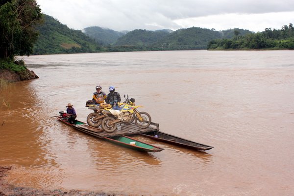
Ferry crossing the Mekong near Sabnakham in Laos
web600IMG_0581.jpg
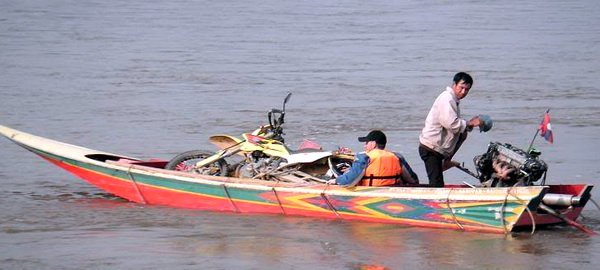
Boating the Mekong in Laos from Xieng Kok to Xieng Dao
xieng kok speed boat ride600270.jpg
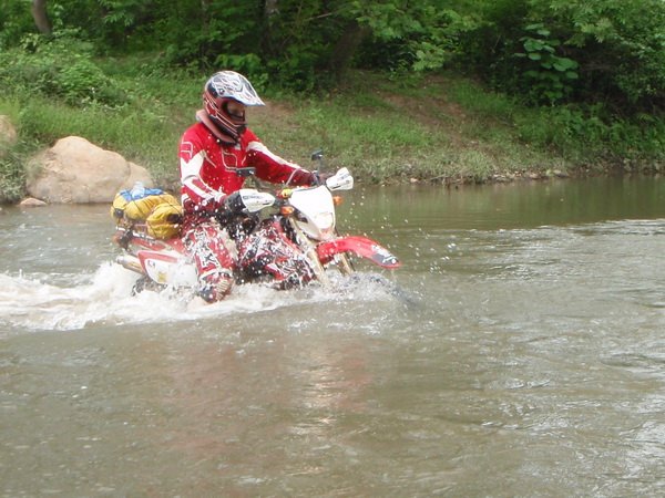
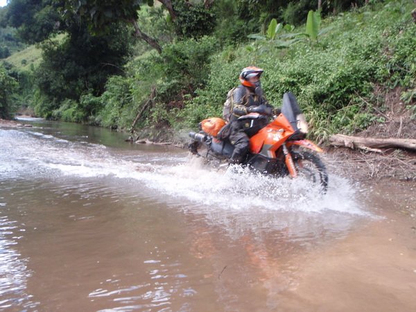
Crossing the Nam Khao between Ponsovan and Vieng Thong, Laos
2010 june laos 012web600.jpg
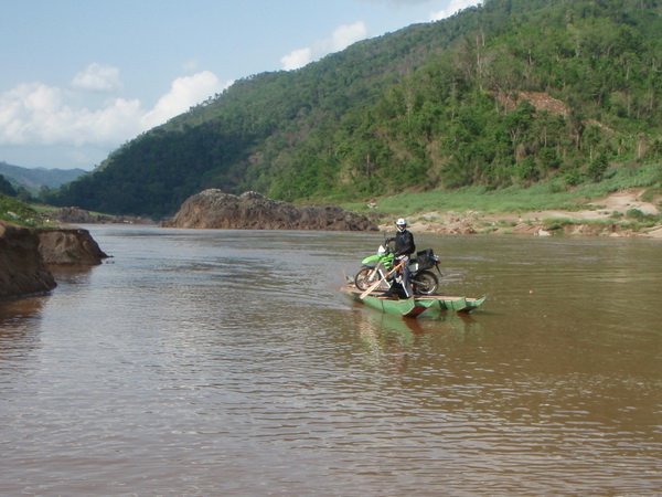
Ferry crossing the Mekong, near Pak Beng, Laos
2010 june laos 014web600.jpg
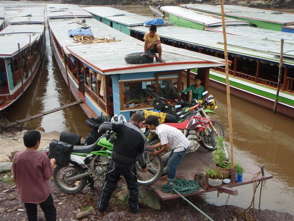
Loading bikes in Pak Beng to travel the Mekong done stream to Thaxoang, Laos
2010 june laos 020web600.jpg
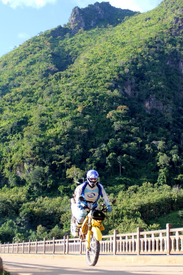
Bridge crossing the Nam Ou, Nong Kiew, Laos
web600IMG_0425.jpg
Water crossing between Hongsa and Luang Prabang, Laos
web600PA130050.jpg
 
Mark- with the Mekong river running east/ west around the Pakbeng area is this ferry crossing east or west of Pakbeng?

file.php
 
BarryBBQ said:
bigntall said:
Another in the Ob Long forest northwest of Chiang mai. Luke taking a different way round.

154739455_AepCR-M.jpg

While not a true water crossing, the Belgian step deserves to be included.

DSC05786Small.jpg

I swallowed my pride and took the easy way around the Belgian step as Luke did above. .

DSC00671Small.jpg

Sergeant Spank giving directions on the best way to approach the step.


Justin made it up the step but didn't travel far after doing a header into the tree.


Haha some fun memories there. Making it over the Belgium Step only to run headlong into the tree, great form I tell ya.

Barry that KLX is still being ridden today by Alex, through Thailand, laos and Cambodia. It keeps on plugging away.


Don your pics are amazing.
 
Nam Ou suspension bridge, 149mtr , 2006 photo, 30mtrs short of being the longest suspension bridge in Laos
namou.jpg
2 meters wide 1.5 ton No cars!namou1.jpg
2011 photonamou5.jpg
 
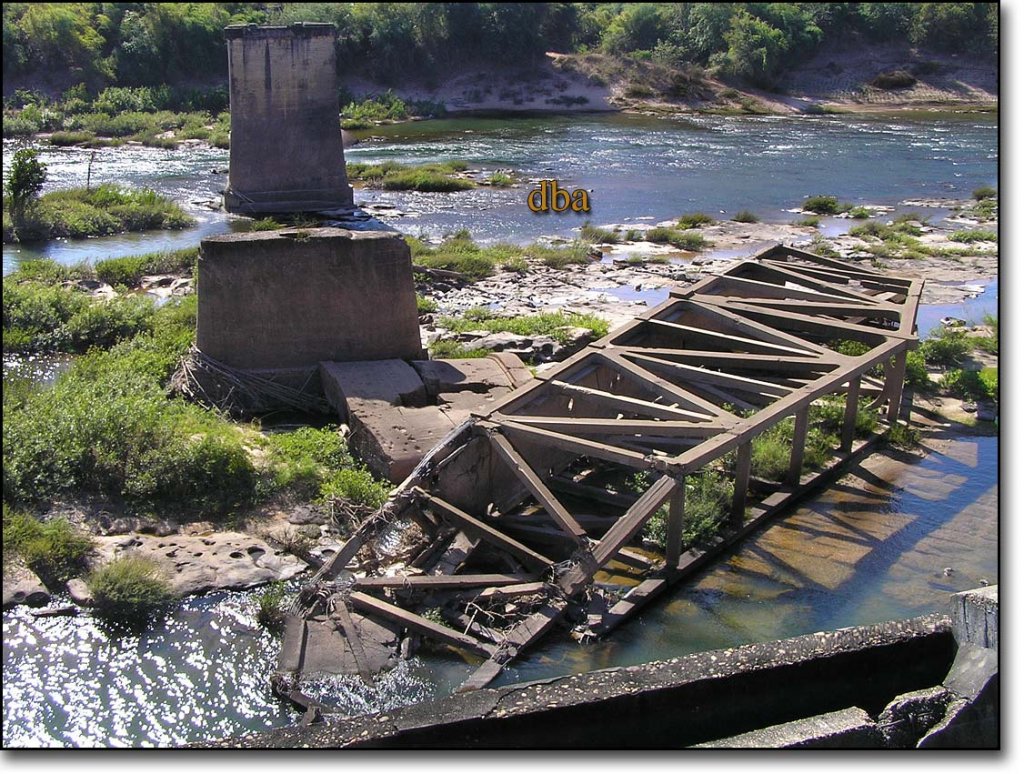
Xe Don blown up bridge, early casualty of the American-Vietnam war, bombed 1963 this was the early Ho Chi Minh Supply route until roads were built farther to the East.
 

Attachments

  • rt-23-bridge.jpg
    rt-23-bridge.jpg
    112.9 KB · Views: 1,233
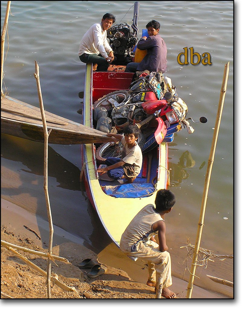
Xe Don blown up bridge, early casualty of the American-Vietnam war, bombed 1963 this was the early Ho Chi Minh Supply route until roads were built farther to the East. Motorcycle ferry, I crossed after dark, the ferry operator paddled accross to pick me up with his flip flop!
 

Attachments

  • rt-23-bridge.jpg
    rt-23-bridge.jpg
    112.9 KB · Views: 1,211
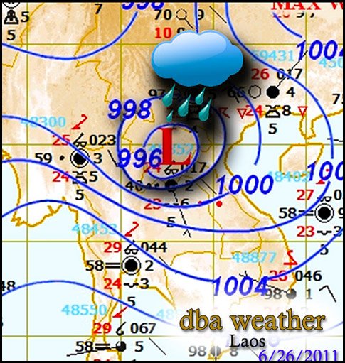
Rainy season, tropical depression madness
"In Xieng Khuang province, authorities held an emergency meeting yesterday to discuss flood relief for affected families and how to restore damaged infrastructure.

Deputy Governor of Xieng Khuang province Mr Seumsouk Sinthavong said costs could be in the billions of kip, as infrastructure and rice fields were damaged.

Roads linking the provincial capital to Tha-thom and Mok districts remain inaccessible so the province is using planes provided by the government to help affected villagers.

“Electricity networks, roads, bridges and water supply systems have been severely damaged or destroyed. Villagers in several districts haven't had electricity or water for several days now,” Mr Seumsouk said.

“Many rice fields have become covered in silt and sand. My concern is that it will be very hard for us to resume full productivity.”

low-pressure.jpg
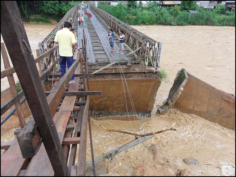
Namo Bailey bridge also suffering damage
b-namo-bailey-bridge.jpg

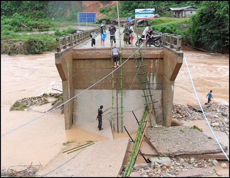
Cement bridge at Ban Nam Cha, over the Nam Bak river heavily damaged.
Pou Bia ore trucks will be halted until this is fixed.
nambak-bridge.jpg
 
excerpts from Vientiane times article
tropical storm Haima that lashed
Xayaboury province on Saturday is set at over 98 billion kip (US$12
million).

Mr Bounnhang said 46 houses and 179 vehicles, both cars and
motorbikes, have been damaged, while a great number of poultry and
cattle have been washed away.

Tropical storm Haima moved into northern Laos from Vietnam last
Friday, passing southwards through Huaphan, Xieng Khuang, Xayaboury,
Borikhamxay and Khammuan provinces and the capital before its ferocity
subsided.

Communication lines from Khoun district to the Mokmay and Khungvang
areas have been cut because of landslides, as has the road from Khoun
district centre to Mokmay and Thathom districts.

The road from Nonghed district to the Nam Kun border checkpoint has
also been cut off, while various small roads have been damaged and
many rice fields flooded. Concerned sectors are busy repairing the
road from Phoukoud district to Phoukhoun district.

Xieng Khuang province is currently collecting information on the
flooding and has yet to estimate the costs of the damage.

Meanwhile, some 31 villages with over 3,000 families in Borikhan and
Pakxan districts of Borikhamxay province have been affected by the
storm. This includes five focal development areas in Borikhan
district. The water flooded four villages containing over 2,000 people
in Pakxan district, damaging some houses and crops. Roads 1D and 4B,
and the road to Phukbeuak have been damaged in many places and
electricity poles broken.

Many people are homeless and have no clean water. So far, flood
victims have received relief aid from various organisations, and local
authorities have provided temporary shelter and medicines.

Five districts in Vientiane province have also been affected by the
storm, including more than 70 families living in Phoukham and Nathaen
villages in Kasy district.

The road from Chieng village to Maed district was cut off, as well as
the road from Chieng village to Kasy district.

A house in Xaysomboun district was damaged, a section of the bridge
over the Mo and Cha rivers linking the town of Xaysomboun to Vientiane
province was washed away, while the road to the Longchaeng area and
roads in the Meuangphoun village group were cut off due to landslides.
Travelling to the Dansavanh resort in Thoulakhom district is currently
difficult.
 
July 2 update, more of the same.
Remnants of the depression linger in central Laos.
weather.jpg

Expect many of these landslides...
landslide1.jpg
Namo bridge on a good day.
namo-bridge.jpg
Flood damage from the tropical Tropical storm Haima
b-namo-bailey-bridge.jpg
 
DSC00723.jpg


One of many creek crossings on the track from Attapeu that joins onto route 13, 50km Sth of Pakse. Early 2009.

I wonder if they've since upgraded that track ?
 
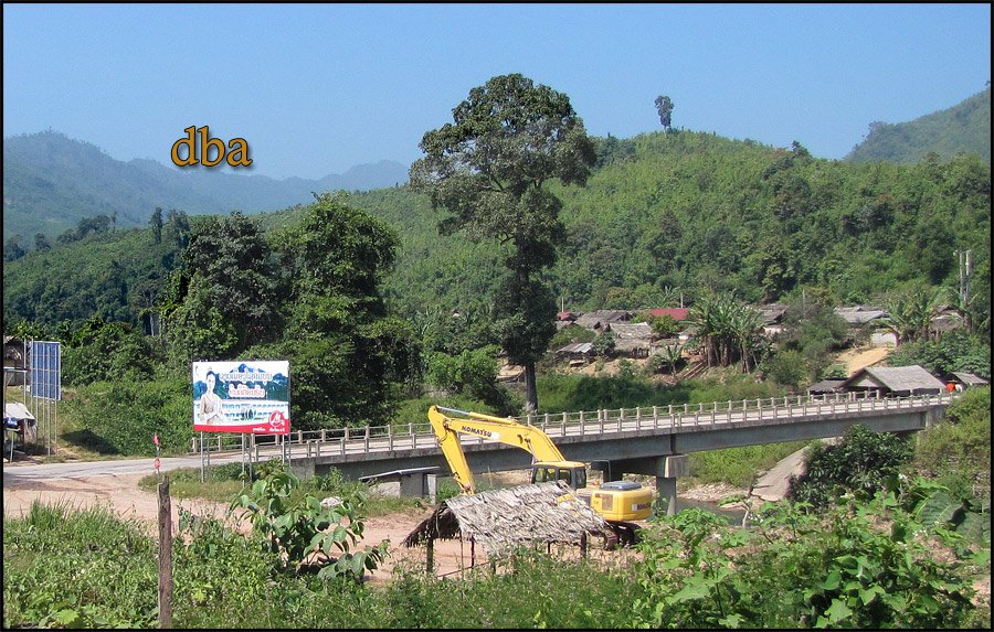
Nam Cha bridge, on a better day.

nam-cha-bridge.jpg

Nam Cha bridge, flood damage.

nambak-bridge.jpg
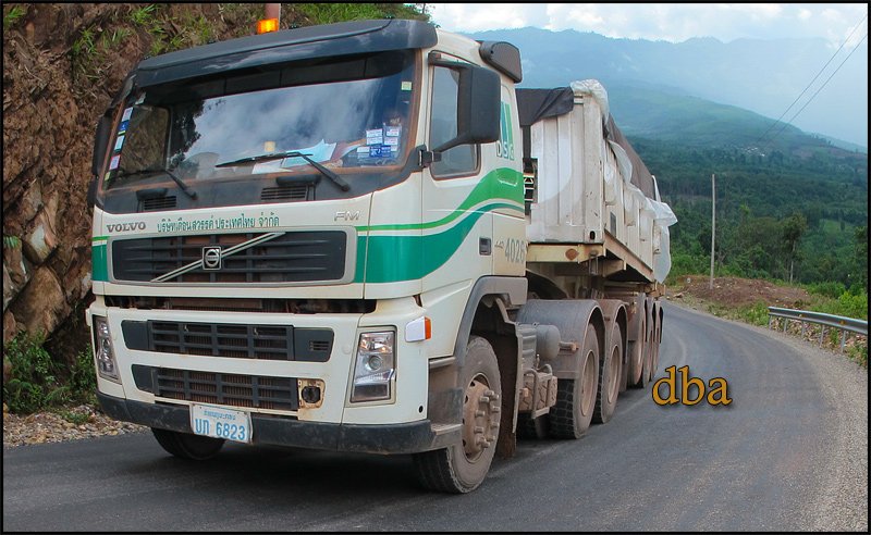
Southbound Ore truck, carrying 40 tons copper concentrate, bound for China, Via Bangkok.oretruck.jpg
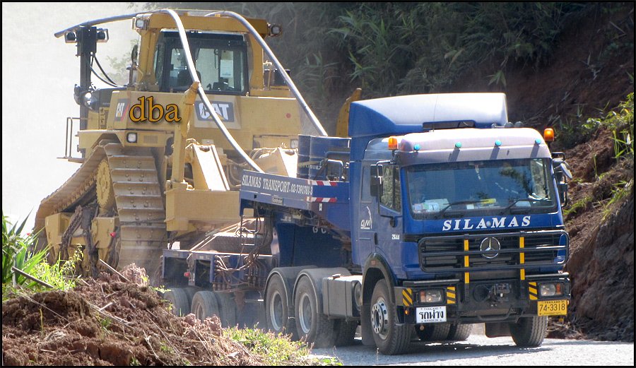
Northbound heavy equipment. This truck was towed up the mountain by a large front end loader.It will be a few days before the traffic is back to normal
The pvc pipes draped on this Big Cat are to keep power lines from snagging on the load!
haulroad.jpg
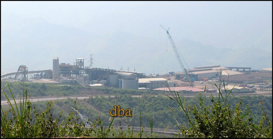
Pou Kham processing plant from Ban Man Gnome
pou-kham.jpg
 
Bill as far as I know nothing has been done to that stretch of road.
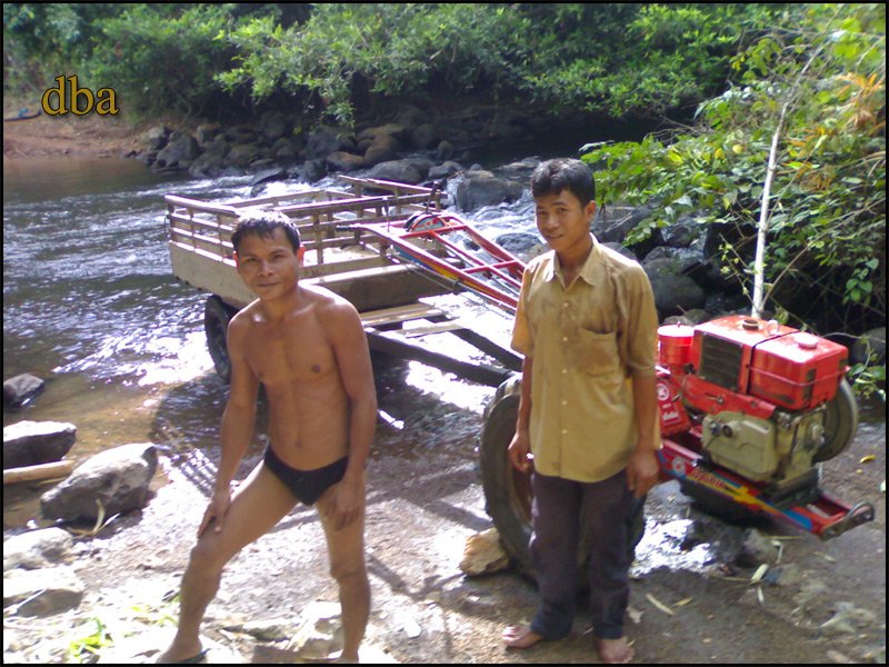
The locals at Ban Bang are so friendly usually running to the creek to help you accross, about a half kilometer.They tell me that stream is the Houay Ob.
A great spot to cool off and watch them bring your bike accross.
This photo, 2008 Ban Lung to Attepue 1 day! The bridge at Stung Treng was just (not opened) but you could get under the gate.
houay-ob.jpg
DSC00723[1].jpg
 
Bill as far as I know nothing has been done to that stretch of road.
The locals at Ban Bang are so friendly usually running to the creek to help you accross, about a half kilometer.They tell me that stream is the Houay Ob.
A great spot to cool off and watch them bring your bike accross.

MM, thats great news for offroaders if the bulldozers haven't moved in.

This photo, 2008 Ban Lung to Attepue 1 day! The bridge at Stung Treng was just (not opened) but you could get under the gate.

That's a big effort for one day.

I have wondered if there's a more direct route from Banlung to Attapeu, ie. maybe some dry season only
trails ? I wouldn't suggest crossing borders illegally but if adjoining trails exist, it would be interesting to check them out in each respective country.
 
Been there a few times in the last year or so and I noticed at the west end of the track near Rd 13 South a large camp with all kind of road construction equipment. Also, along the track there were signs like small wood pegs with markers, distance markers, etc. but up to about 4 months ago when I was there, nothing has been done with all the equipment still in the camp.
 
Bill,
There are 2 locals only crossings NW of Siempang.
I have visited both, with less than friendly reception (Kymer side).
However a friend took a motodop from Siempang to the border, Kymer stamped him out! The lao had no stamp, so he traveled around a few weeks showed up in Vientiane. Told his story to the immigration department and they asked him how many days did he want? No Money changed hands, he got 30 day visa!
I would not dare try that, but somebody did.
The Northern most crossing is B NAPAKIAP, graded all the way to highway13 about 30 k"s.
 
A rather treacherous ride to reach this middle of no-- where river crossing in Laos.
Nam Chat river crossing 120 meters,

51ks North of Turnoff, from route 8, at Ban lak 5,Just North of Lak Sao.

15 ks more to Ban Nam On.


nam-cha.jpg
 
That bamboo bridge, is last years bridge, unusable now after the rainy season. This Ford is actually ridable, with a little luck!

The "Prince's Bridge" according to LP.

On the Xe Banchiang River took some big hits from American Bombs, 1968 this was the main Ho Chi Minh trail.
If it wasn't for those bombs Surely that bridge would be passable today. Take a look at the amount of re-bar in those trusses!
The year 1942 is stamped into the buttress on the Southern end.


princes,bridge.jpg
 
This is what it would look like if you were making a running jump, 250 meters to the southern shore!.

bridge-entrance.jpg

Scene from the bridge, looking at the Xe Banchiang river

banchiang.jpg
 
Stever Mercer, one of our local heros here in Laos
Just sent these photos from Mining camp..

The local boys doing what needs to be done...

ropethebike2.jpg

ropethebike.jpg

Just how deep is that mudhole??

deep-mudhole.jpg

Torrent!
raging-torrent.jpg
 
What was the story with the motorbike? looks like no damage, so he didn't go off the end of the bridge?
 
[shadow=blue:1menfohh]If you want to get there fast[/shadow:1menfohh], the Toyota Carolla powered, dry exhaust speedboat is a dangerous option.
These usually go about 60kph, better have your earplugs installed and wear your helmet and lifejacket too.
Too get an idea how unstable this craft is at speed, turn around and watch your captain struggle with the "tiller" - motor- to make this speeding bullet, go strait in perfectly smooth water.
Now imagine what happens if the bow digs in a rapid or another boat wake? Well course, the whole boat will just cartwheel spilling all passengers ahead, in the water, while that spinning motor, boat and blade, are come crashing on top of you, while still turning 4,000 rpm!
Not pretty.
[glow=red:1menfohh]These are expensive, dangerous and fast![/[/glow:1menfohh]
speedboat.jpg
 
[glow=red:12o4wyot]Ferry, and "bomb"boats.[/glow:12o4wyot]These boats are cut out of discarded fuel tanks from US bombers.
the fetch a hefty price too, Scrap metal value is over $500 I am told. If you want to buy one it'l cost you around$700.

fueltankboats.jpg
 
Back
Top Bottom