You are using an out of date browser. It may not display this or other websites correctly.
You should upgrade or use an alternative browser.
You should upgrade or use an alternative browser.
Recky tour - Chiang Mai to the Tibet border / Kawa Karpo at 6,740 meters (22,113')
- Thread starter KTMphil
- Start date
KTMphil
Senior member
KTMphil
Senior member
KTMphil
Senior member
...... Dinner time in Deqin - more to come
KTMphil
Senior member
Reed's latest post re Shangri-La
Shangri-La Here We Come - A Motorcycle Touring Blog from Chiang Mai, Thailand to the Tibet-China Border - Asian Motorcycle Tours - Thailand, Laos, Cambodia, Vietnam Motorcycle Tours
Shangri-La Here We Are!
Before I share this trip report, I want to qualify right here and now, just as a frame of reference, what kind of riding experience I have; Over the last two decades I have ridden motorcycles across nearly every square inch of Southeast Asia + China. And I have to say that the ride to Shangri-La was, hands-down, the most spectacular, most enjoyable, and for sure the greatest ride in my entire motorcycling career. Period!
First, though, some of the day’s riding statistics before diving into the blog:
Present location: SHANGRI-LA!
Riding distance to Shangri-La from Jiliang: 270 kms.
Driving (moving) time): 7:15
Moving average: 38 kph.
Present elevation: 3235 meters
Highest elevation reached: 3688 meters
Total trip cumulative distance: 2042 kms.
Trip track shown on map below:
 Our route to Shangri-La
Tomorrow destination: Deqen (pronounced nothing like the spelling)
Approximate distance: 180 kms
Guesstimate driving time: 6 hours
Phil Gibbins is taking a ton of photos, way more than me. He is posting them online on his RideAsia.net rider forum. But this url changes daily. To see the photos from our ride to Shangri-La, you can view today’s photos at the following url:
http://www.rideasia.net/motorcycle-...-karpo-6-740-meters-22-113-a-5.html#post29552
Hello Interested Parties,
Like I just said above, and which does bear repeating, the ride to Shangri-La was, hands-down, the most spectacular and most enjoyable motorcycle ride in my entire riding career. Period! The scenery, the road, the road condition, the weather, the dearth of other road users, glaciated mountain peaks scraping the clouds, Tibetan dwellings sprinkled throughout the meadows, all added up to the greatest seven hours and fifteen minutes of motorcycling in my life. And it is not only I who is of this opinion, as Phil and George share the same viewpoint and one would have to describe them as highly seasoned bikers.
(We are also being told that tomorrow’s ride is even better if that is at all humanly possible¬¬. So stay tuned.)
The road and road conditions were so terrific that we could have easily ridden them at a 70 kph pace, still with a sizable margin of error built in (and we were on the perfect bikes to do it on). 60 easy without any degree of difficulty. But we only managed a pace of 38 because the three of us were so mesmerized by what was unfolding in front of our eyes, that we had to slow way, way down to drink it all in. Every bend in the road opened up a new and wonderful vista and all we could keep saying to ourselves was “wow”.
Primary over everything else was the scenery. Our first target of the day was Tiger Leaping Gorge. After Kali Gandaki Gorge in Nepal and the Grand Canyon in The States, Tiger Leaping Gorge is the third-deepest gorge in the world. This is where the young Yangtze River, with its headwaters not far away in the Himalayas, comes roaring down in full force, eating its way through whatever mountain dares to impede it. And these are serious mountains; snow-covered peaks, glaciers running down their flanks like crooked, white fingers.
 Tiger Leaping Gorge
The road we drove hugged a contour line around 100 meters above the roaring, boiling, boulder-strewn rapids below us. The tops of the canyon loomed, I would guess, 3000 meters above us
Tiger Leaping Gorge is a major Chinese tourist attraction, and for good reason. You arrive there a couple of kilometers after turning off the main trunk road we rode in on out of Lijiang. None of the numerous tourist busses, minvans, or private cars ventured past Tiger Leaping Gorge Visitor Center and View Point because the road continues on another couple of hundred kilometers with no way off it. But we continued and virtually had the road to ourselves for the next several hours.
There were few towns on this road as we followed the angry Yangtze northwards as the terrain is way too steep and rugged to support a population of any size. Maybe we passed three towns over the next hundred kilometers.
At the first village we came to, around 15 ks past TLG, we stopped in a small guesthouse restaurant and dined on the freshest vegetables you could ever eat, snow peas, pan-fried wild mushrooms, egg and tomato omelet, a vegetable stock soup, and diced chicken with more veggies.
The TLG road continued another 22 ks north-northeast. When the gorge petered out and the Yangtze veered away, the road struck northwest and we climbed over a mountain pass that topped out at 2820 meters. It was down and up another two mountain passes and this brought us up onto the Himalaya plateau proper. We knew we were now officially on the eastern slope of the Himalaya massif when we started seeing herds of yaks. Yaks! For the last third of the ride we hardly ever dipped below 3000 meters. At this height we seemed to be above the tree line and the dominant pine forests gave way to small bush-type pines. Most of the land was open meadow covered with grass.
The day’s weather was mostly overcast and we did hit some intermittent drizzles, nothing worse than that. This slickened the road and we slowed down even more. Temperatures stayed in the low 20′s C and dipped into the high teens when we topped 3000 meters. All I had on was a synthetic, long-sleeved shirt under my body armor. Over that I wore an unlined, waterproof jacket and I did not feel cold. I probably would have if we were riding faster, but this was not the case. I started feeling a little chilly when we reached the Himalaya Plateau, but at this point we were only around 20 ks outside of Shangri-La and I did not feel like donning anything else for so short a duration
In this part of China the dominant population group is ethnic Tibetans of various subgroups. The ladies wear traditional costumes but the men sport cheap western-style clothing. Many village houses were log cabin-style with a roof fashioned from terracotta roof tiles weighted down with large stones. Animal husbandry seemed to be the main occupation. Herds of yaks, goats, sheep, and cattle grazed on the rich plateau grass, chickens,and assorted breeds of pigs wandered through the villages.
It took tremendous amounts of willpower over the entire day not to stop the bike every five minutes to take photos of these stunning scenes, as we knew we had lots of riding to cover.
(I know, I know, enough with the superlatives, but I know of no other way of describing the ride to Shangri-La.
The road itself was nearly perfect the entire way: excellent surface, terrific engineering. A sport bike would eat this type of riding up, as long as one remembered that most mistakes would end in a long, long drop to the valley floor. If you did not die, you certainly would wish you would have.
 GPS Track screen shot on road to Shangri-La
The final twenty ks were over a long, straight, flat road. I could see Shangri-La on the horizon, ringed behind by snow-capped mountains on all sides. The houses over this final stretch were massive and square; all two or three stories tall, each story being at least 15-20 feet in height, all facing east with a high surrounding, stucco-walled courtyard in the front of each house with a massive entrance gate. The gateway doors were always intricately carved and decorated. On each side of the dwellings, four massive tree trunks stripped of their bark, each one propped on a thick concrete foundation formed the basic framework. I know this because many houses were under construction, and this was a hint we were entering a prosperous region.
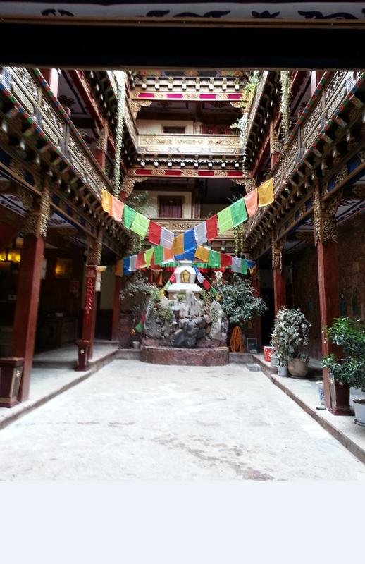
We reached our hotel an hour before sunset and the temperature was 16 C. We quickly changed and showered and walked to Shangri-La’s Old Quarter and here we entered another world. The narrow streets were rough paving stones worn smooth over the centuries. Lining the streets were solid rows of shop houses built in the Tibetan style. Colorfully decked out Tibetan tribal ladies were numerous, not posing for photos but doing their daily chores.
 Shangri-La Old Quarter
All the locals were friendly and curious about us, not shy at all, and went out of their way to be welcoming. If they were cooking something they offered us a taste. If they were making some sort of handicraft they enjoyed having us take their photos.
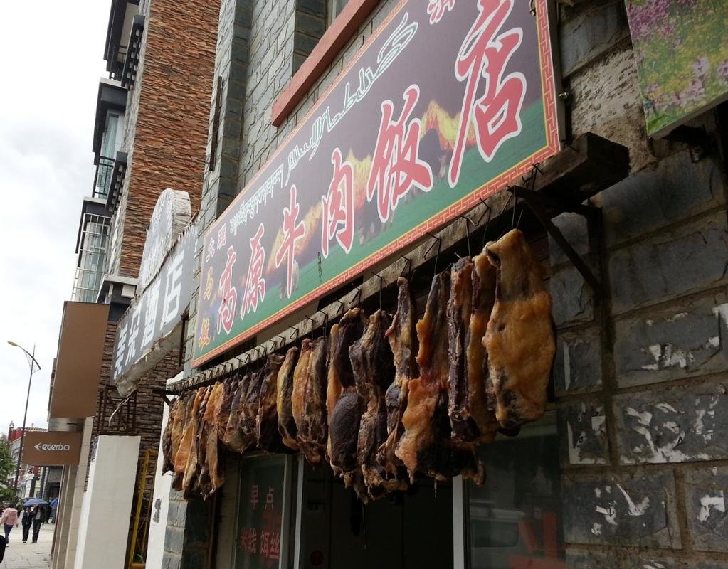
That night we supped in a Tibetan restaurant on Yak steaks that were tender and tasty and excellent. Local barley beer washed it down, also quite tasty.
After such a long ride we went to bed early. I awoke at dawn and the streets were all wet but there was no rain, no sun either. It was 8 C. George and I went to the famous Gandan Sumtseling Monastary and below, in front of it, is a photo of yours truly.
 RR in front of monastery
Wednesday morning we intend to wake up early for what promises to be another excellent ride to Deqen and the holy Tibetan mountain, Kawa Karpo. I may have some spiritual connection with Kawa Karpo because a brass statue of the Tibetan holy deity that lives on this mountain is in my apartment. We shall see,
It will be chilly in the morning, and probably wet, and I plan on wearing an extra couple of layers.
Until tomorrow, Bye bye.
Shangri-La Here We Come - A Motorcycle Touring Blog from Chiang Mai, Thailand to the Tibet-China Border - Asian Motorcycle Tours - Thailand, Laos, Cambodia, Vietnam Motorcycle Tours
Shangri-La Here We Are!
Before I share this trip report, I want to qualify right here and now, just as a frame of reference, what kind of riding experience I have; Over the last two decades I have ridden motorcycles across nearly every square inch of Southeast Asia + China. And I have to say that the ride to Shangri-La was, hands-down, the most spectacular, most enjoyable, and for sure the greatest ride in my entire motorcycling career. Period!
First, though, some of the day’s riding statistics before diving into the blog:
Present location: SHANGRI-LA!
Riding distance to Shangri-La from Jiliang: 270 kms.
Driving (moving) time): 7:15
Moving average: 38 kph.
Present elevation: 3235 meters
Highest elevation reached: 3688 meters
Total trip cumulative distance: 2042 kms.
Trip track shown on map below:
 Our route to Shangri-La
Tomorrow destination: Deqen (pronounced nothing like the spelling)
Approximate distance: 180 kms
Guesstimate driving time: 6 hours
Phil Gibbins is taking a ton of photos, way more than me. He is posting them online on his RideAsia.net rider forum. But this url changes daily. To see the photos from our ride to Shangri-La, you can view today’s photos at the following url:
http://www.rideasia.net/motorcycle-...-karpo-6-740-meters-22-113-a-5.html#post29552
Hello Interested Parties,
Like I just said above, and which does bear repeating, the ride to Shangri-La was, hands-down, the most spectacular and most enjoyable motorcycle ride in my entire riding career. Period! The scenery, the road, the road condition, the weather, the dearth of other road users, glaciated mountain peaks scraping the clouds, Tibetan dwellings sprinkled throughout the meadows, all added up to the greatest seven hours and fifteen minutes of motorcycling in my life. And it is not only I who is of this opinion, as Phil and George share the same viewpoint and one would have to describe them as highly seasoned bikers.
(We are also being told that tomorrow’s ride is even better if that is at all humanly possible¬¬. So stay tuned.)
The road and road conditions were so terrific that we could have easily ridden them at a 70 kph pace, still with a sizable margin of error built in (and we were on the perfect bikes to do it on). 60 easy without any degree of difficulty. But we only managed a pace of 38 because the three of us were so mesmerized by what was unfolding in front of our eyes, that we had to slow way, way down to drink it all in. Every bend in the road opened up a new and wonderful vista and all we could keep saying to ourselves was “wow”.
Primary over everything else was the scenery. Our first target of the day was Tiger Leaping Gorge. After Kali Gandaki Gorge in Nepal and the Grand Canyon in The States, Tiger Leaping Gorge is the third-deepest gorge in the world. This is where the young Yangtze River, with its headwaters not far away in the Himalayas, comes roaring down in full force, eating its way through whatever mountain dares to impede it. And these are serious mountains; snow-covered peaks, glaciers running down their flanks like crooked, white fingers.
 Tiger Leaping Gorge
The road we drove hugged a contour line around 100 meters above the roaring, boiling, boulder-strewn rapids below us. The tops of the canyon loomed, I would guess, 3000 meters above us
Tiger Leaping Gorge is a major Chinese tourist attraction, and for good reason. You arrive there a couple of kilometers after turning off the main trunk road we rode in on out of Lijiang. None of the numerous tourist busses, minvans, or private cars ventured past Tiger Leaping Gorge Visitor Center and View Point because the road continues on another couple of hundred kilometers with no way off it. But we continued and virtually had the road to ourselves for the next several hours.
There were few towns on this road as we followed the angry Yangtze northwards as the terrain is way too steep and rugged to support a population of any size. Maybe we passed three towns over the next hundred kilometers.
At the first village we came to, around 15 ks past TLG, we stopped in a small guesthouse restaurant and dined on the freshest vegetables you could ever eat, snow peas, pan-fried wild mushrooms, egg and tomato omelet, a vegetable stock soup, and diced chicken with more veggies.
The TLG road continued another 22 ks north-northeast. When the gorge petered out and the Yangtze veered away, the road struck northwest and we climbed over a mountain pass that topped out at 2820 meters. It was down and up another two mountain passes and this brought us up onto the Himalaya plateau proper. We knew we were now officially on the eastern slope of the Himalaya massif when we started seeing herds of yaks. Yaks! For the last third of the ride we hardly ever dipped below 3000 meters. At this height we seemed to be above the tree line and the dominant pine forests gave way to small bush-type pines. Most of the land was open meadow covered with grass.
The day’s weather was mostly overcast and we did hit some intermittent drizzles, nothing worse than that. This slickened the road and we slowed down even more. Temperatures stayed in the low 20′s C and dipped into the high teens when we topped 3000 meters. All I had on was a synthetic, long-sleeved shirt under my body armor. Over that I wore an unlined, waterproof jacket and I did not feel cold. I probably would have if we were riding faster, but this was not the case. I started feeling a little chilly when we reached the Himalaya Plateau, but at this point we were only around 20 ks outside of Shangri-La and I did not feel like donning anything else for so short a duration
In this part of China the dominant population group is ethnic Tibetans of various subgroups. The ladies wear traditional costumes but the men sport cheap western-style clothing. Many village houses were log cabin-style with a roof fashioned from terracotta roof tiles weighted down with large stones. Animal husbandry seemed to be the main occupation. Herds of yaks, goats, sheep, and cattle grazed on the rich plateau grass, chickens,and assorted breeds of pigs wandered through the villages.
It took tremendous amounts of willpower over the entire day not to stop the bike every five minutes to take photos of these stunning scenes, as we knew we had lots of riding to cover.
(I know, I know, enough with the superlatives, but I know of no other way of describing the ride to Shangri-La.
The road itself was nearly perfect the entire way: excellent surface, terrific engineering. A sport bike would eat this type of riding up, as long as one remembered that most mistakes would end in a long, long drop to the valley floor. If you did not die, you certainly would wish you would have.
 GPS Track screen shot on road to Shangri-La
The final twenty ks were over a long, straight, flat road. I could see Shangri-La on the horizon, ringed behind by snow-capped mountains on all sides. The houses over this final stretch were massive and square; all two or three stories tall, each story being at least 15-20 feet in height, all facing east with a high surrounding, stucco-walled courtyard in the front of each house with a massive entrance gate. The gateway doors were always intricately carved and decorated. On each side of the dwellings, four massive tree trunks stripped of their bark, each one propped on a thick concrete foundation formed the basic framework. I know this because many houses were under construction, and this was a hint we were entering a prosperous region.
We reached our hotel an hour before sunset and the temperature was 16 C. We quickly changed and showered and walked to Shangri-La’s Old Quarter and here we entered another world. The narrow streets were rough paving stones worn smooth over the centuries. Lining the streets were solid rows of shop houses built in the Tibetan style. Colorfully decked out Tibetan tribal ladies were numerous, not posing for photos but doing their daily chores.
 Shangri-La Old Quarter
All the locals were friendly and curious about us, not shy at all, and went out of their way to be welcoming. If they were cooking something they offered us a taste. If they were making some sort of handicraft they enjoyed having us take their photos.
That night we supped in a Tibetan restaurant on Yak steaks that were tender and tasty and excellent. Local barley beer washed it down, also quite tasty.
After such a long ride we went to bed early. I awoke at dawn and the streets were all wet but there was no rain, no sun either. It was 8 C. George and I went to the famous Gandan Sumtseling Monastary and below, in front of it, is a photo of yours truly.
 RR in front of monastery
Wednesday morning we intend to wake up early for what promises to be another excellent ride to Deqen and the holy Tibetan mountain, Kawa Karpo. I may have some spiritual connection with Kawa Karpo because a brass statue of the Tibetan holy deity that lives on this mountain is in my apartment. We shall see,
It will be chilly in the morning, and probably wet, and I plan on wearing an extra couple of layers.
Until tomorrow, Bye bye.
KTMphil
Senior member
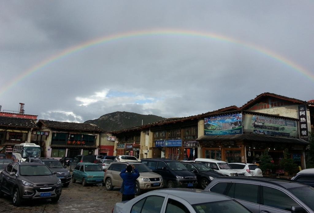
After 5 hours and many many photo stops we arrive in the town of Deqin. This is a fascinating town as it hasn't been infiltrated and changed by tourists yet, it still has the feel of a Tibetan border trading town.
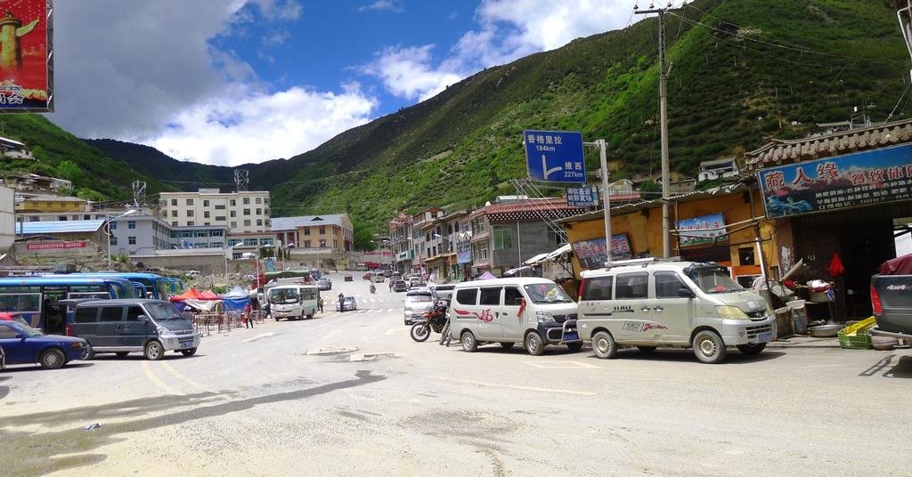
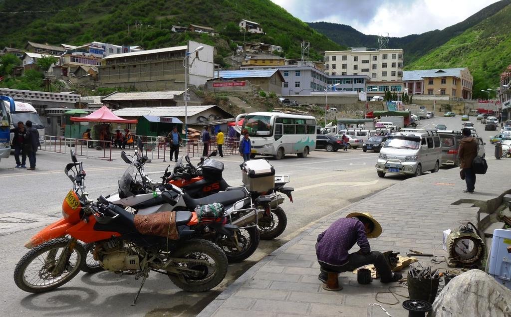
The locals look distinctly different from the Chinese now
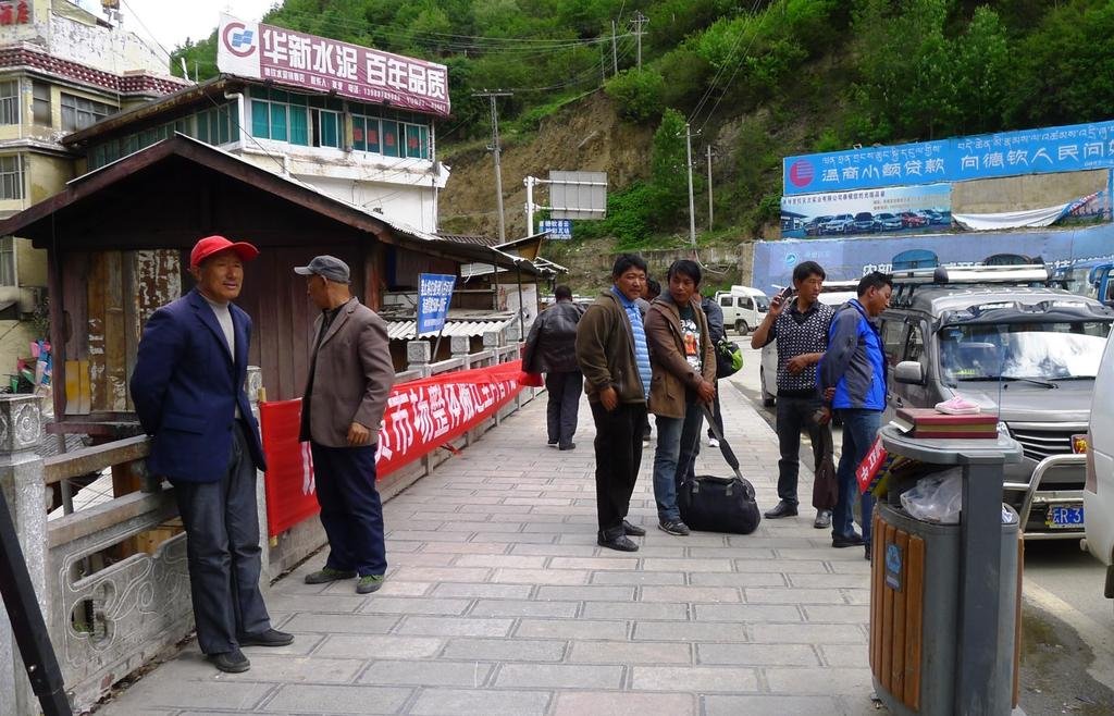
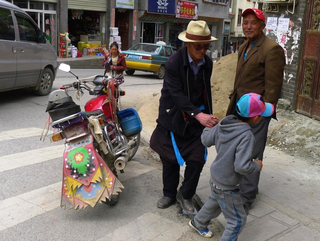

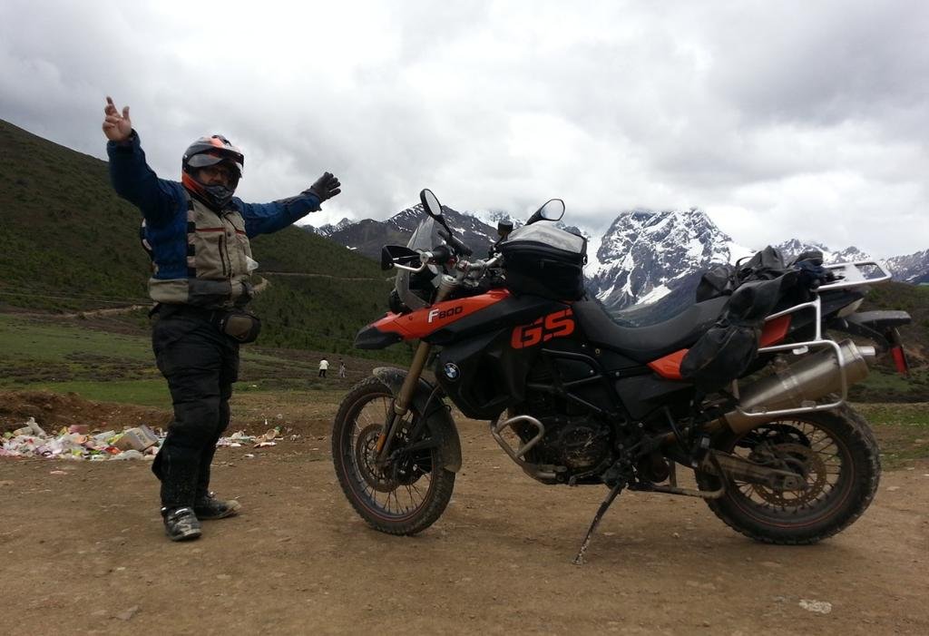
These guys were fascinated by the big bikes "beemwa", they said!
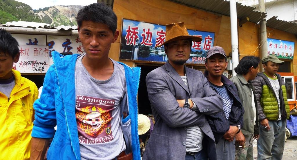
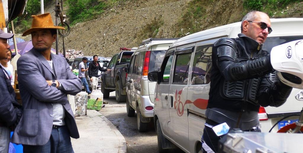
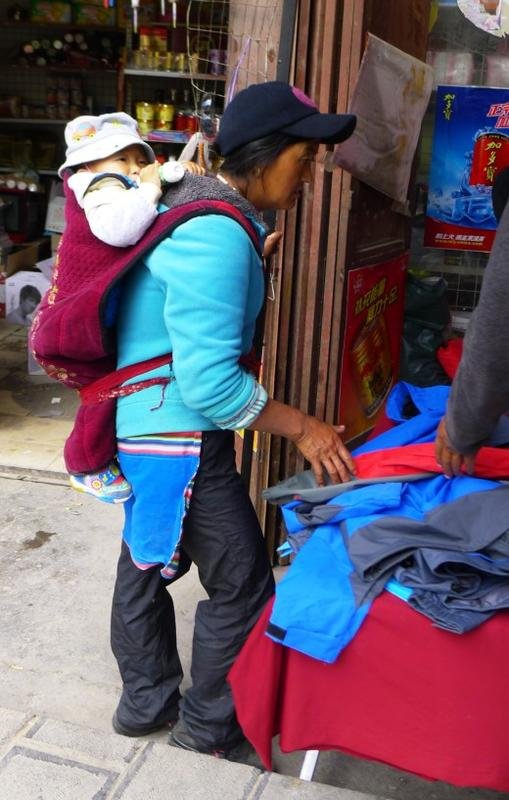


The locals look distinctly different from the Chinese now


These guys were fascinated by the big bikes "beemwa", they said!


KTMphil
Senior member
KTMphil
Senior member
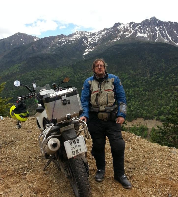
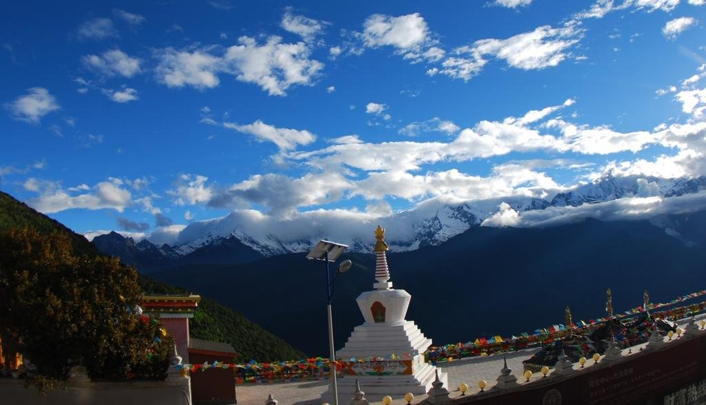
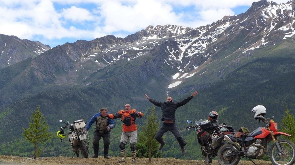
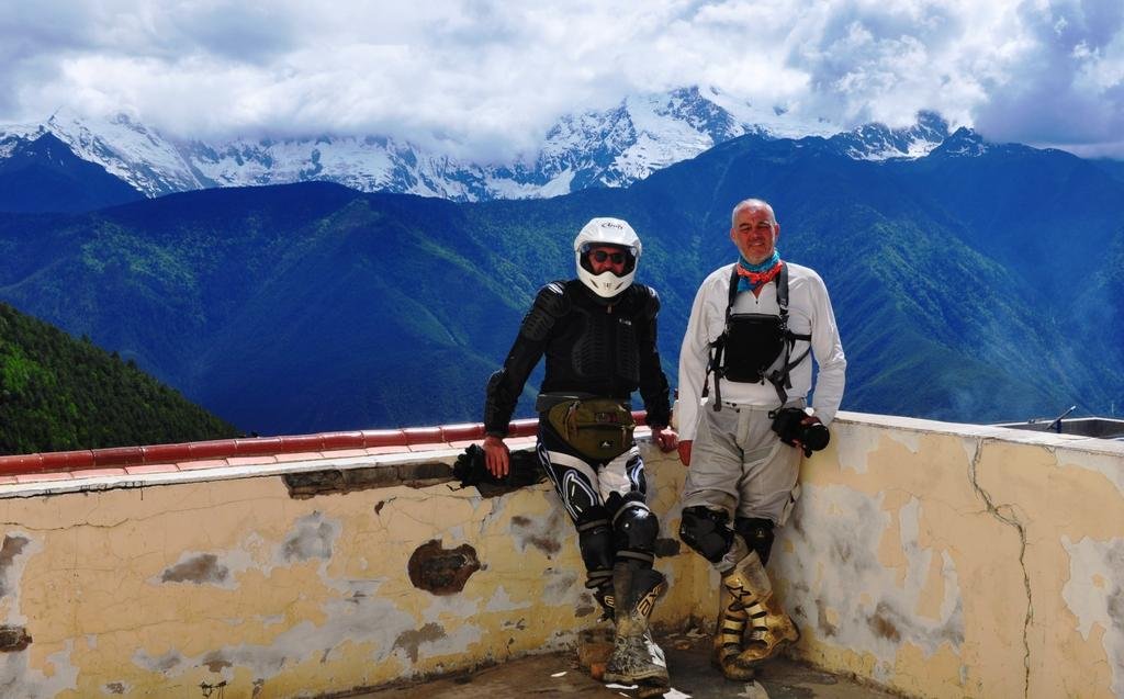
A quick lunch then 20km north to Meli where there are fantastic views of Kawagarbo mountain, the 22, 000 ft sacred mountain that has never been climbed to the summit.
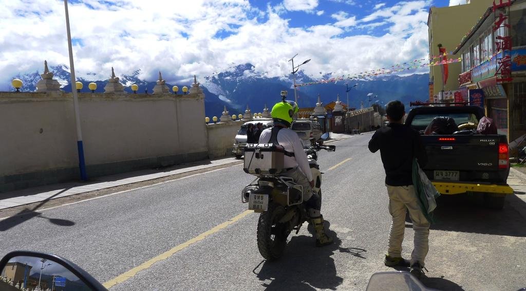
This is one spectacular mountain, breathtaking in the flesh
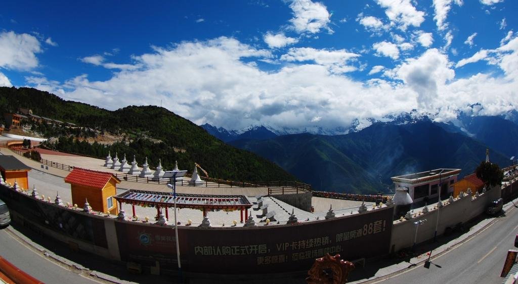
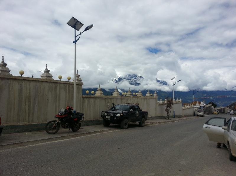
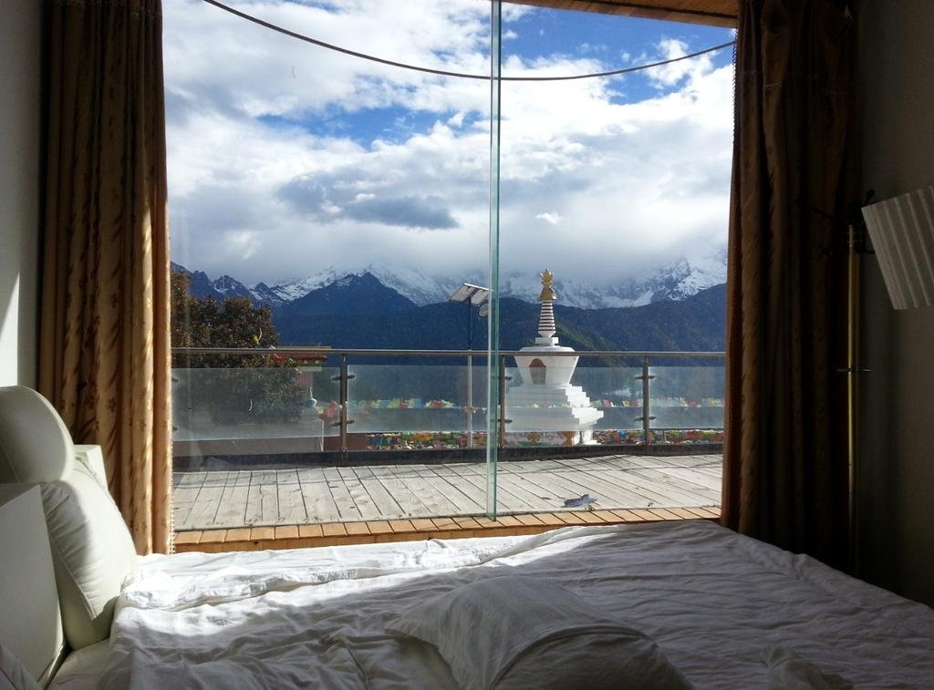
Found a hotel on the main highway for 150 Yuan, this is the view from my room
A few more Kawagarbo shots
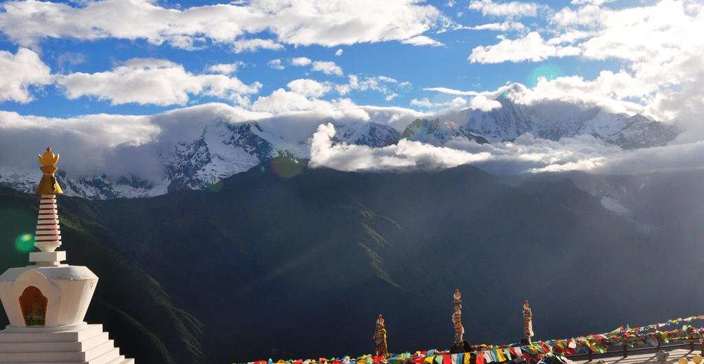
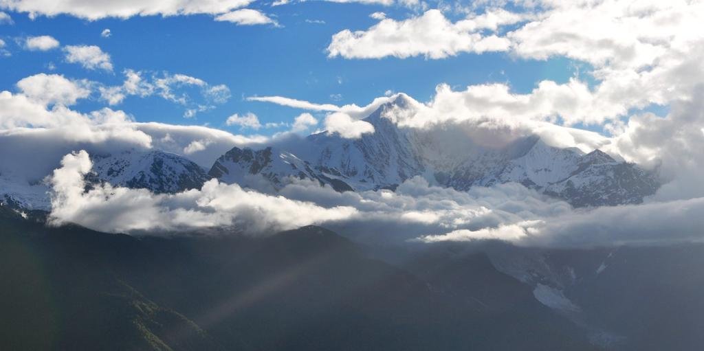
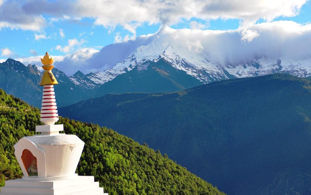
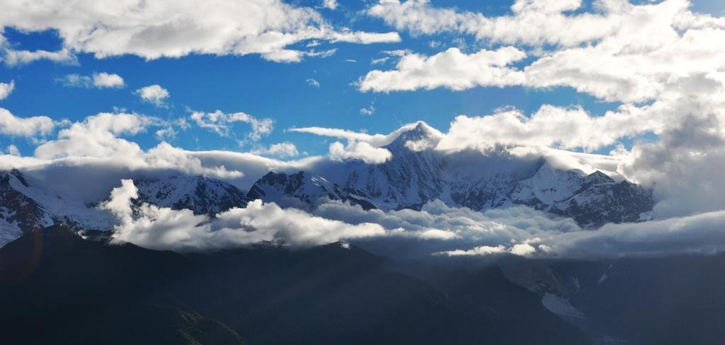
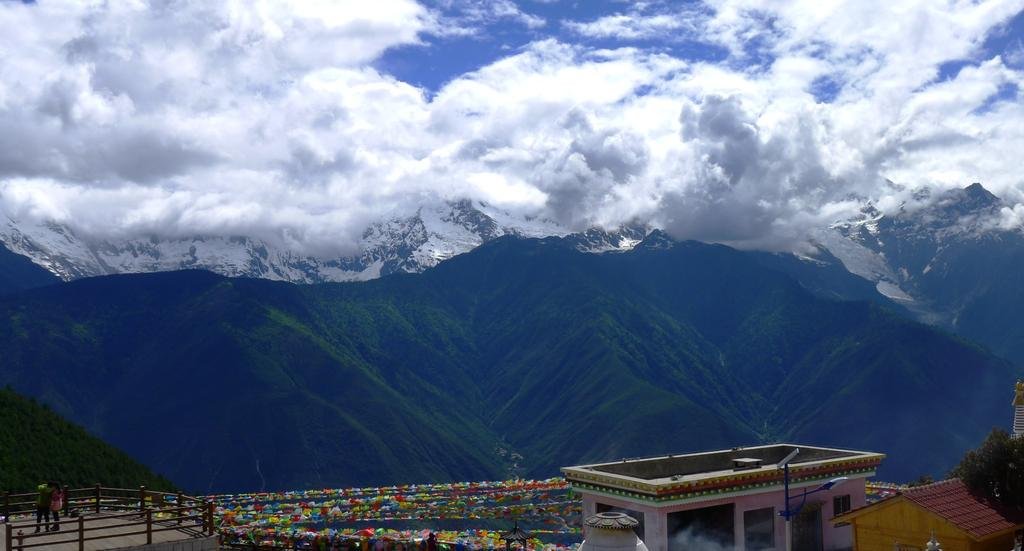
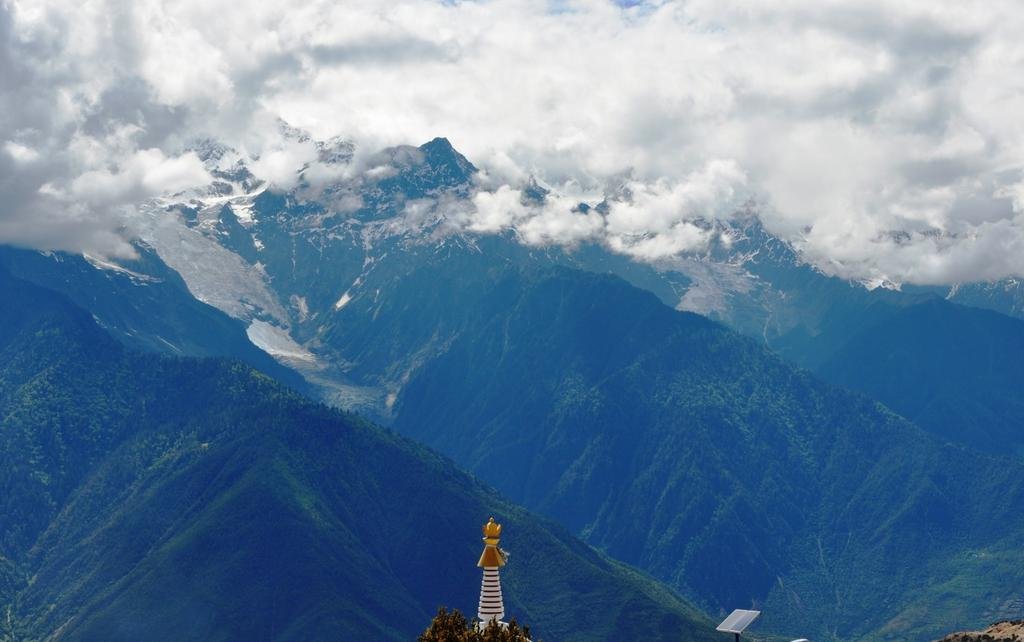
So we achieved the goal, we reached Kawagarbo mountain!!!!

This is one spectacular mountain, breathtaking in the flesh


Found a hotel on the main highway for 150 Yuan, this is the view from my room

A few more Kawagarbo shots


So we achieved the goal, we reached Kawagarbo mountain!!!!
KTMphil
Senior member
Tomorrow - Deqin 60km north to as-near-as-we-dare to the Tibet border post, apparently it's very sensitive right now, then we start to head south back on a different route.
- More tomorrow
- More tomorrow
KTMphil
Senior member
WarProfiteer
Senior Member
- Joined
- May 17, 2013
- Bikes
- currently renting & deciding
Would it be TMI if I admitted this thread gets me hard in places better not discussed???
2wheels
Community Manager
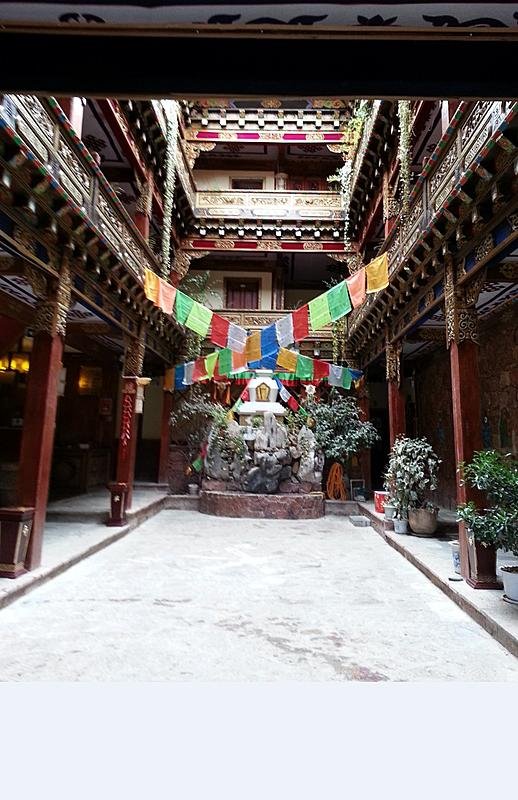
I think this is where 2wheels stayed, a good choice.
Yep, that's it; the Gao Yuan Hong Hotel in Shangri La (booked through Bookings.com)
Recommend .. and parking next to Reception.
Superb pics Phil.
I am now regretting not allocating enough days in my tour to head north from SL, but what a great reason to return (at the right time of year)!!!
VietHorse
Senior Member
- Joined
- Jun 28, 2012
- Location
- Ho Chi Minh City - Vietnam
- Bikes
- Hornet250, Shadow400, SuperFour400, Hornet919 x 2, VFR800 x 2
KTMphil
Senior member
Yep, that's it; the Gao Yuan Hong Hotel in Shangri La (booked through Bookings.com)
Recommend .. and parking next to Reception.
View attachment 17650
Superb pics Phil.
I am now regretting not allocating enough days in my tour to head north from SL, but what a great reason to return (at the right time of year)!!!
A quote from Reed's website regarding the ride from Lijiang to Shangri-La :
"Before I share this trip report, I want to qualify right here and now, just as a frame of reference, what kind of riding experience I have; Over the last two decades I have ridden motorcycles across nearly every square inch of Southeast Asia + China. And I have to say that the ride to Shangri-La was, hands-down, the most spectacular, most enjoyable, and for sure the greatest ride in my entire motorcycling career. Period"!
KTMphil
Senior member
KTMphil
Senior member
KTMphil
Senior member
rhiekel
Member
- Joined
- Jan 22, 2011
Back from the Tibet border George is sick; we're at 3, 200 meters not sure if its altitude sickness ...he'll be in the truck today.
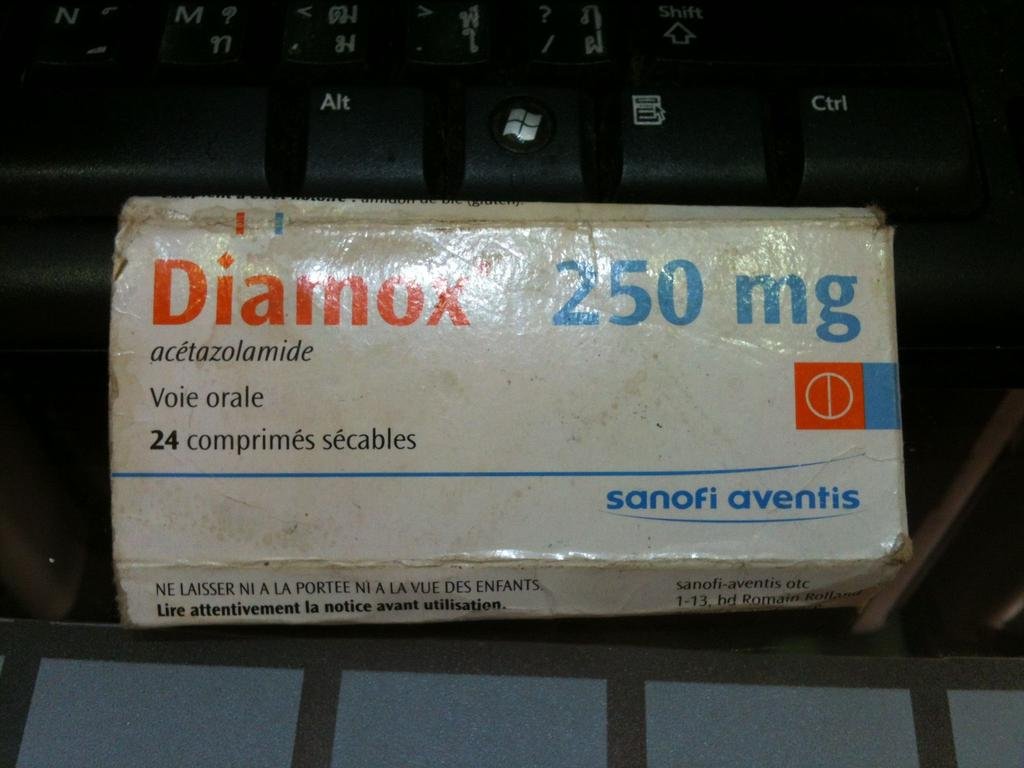
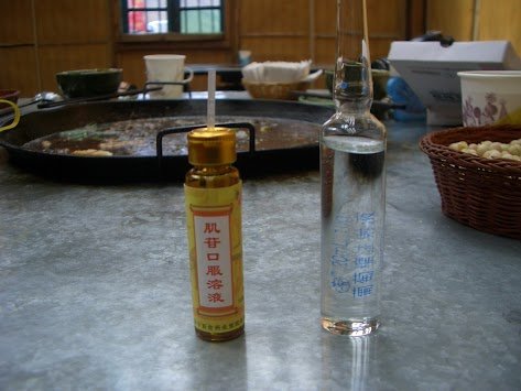
You guys came up pretty quick to high altitude. You either need to heed back down to lower altitude, or stop at a pharmacy in Shangri La and buy some Diamox. I used it, and it works wonders .... :-) Most of the Chinese riders I met that were going to Tibet were using it, or were using some strange product in a glass vial.
rhiekel
Member
- Joined
- Jan 22, 2011
Tomorrow - Deqin 60km north to as-near-as-we-dare to the Tibet border post, apparently it's very sensitive right now, then we start to head south back on a different route.
- More tomorrow
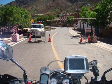
If you see this about 80 kilometers north of Degin , you have gone too far..... :-) The Chinese border police will then basically imprison you for the night, and then send you back south.
2wheels
Community Manager
Phil, maybe with Jah's help, can you check the motorbike rental situation in SLa please?
I believe there are a couple of outlets but didn't have a chance to check them.
I believe there are a couple of outlets but didn't have a chance to check them.
KTMphil
Senior member
Down from the clouds now, looks like George will be ok for tomorrow.
You guys came up pretty quick to high altitude. You either need to heed back down to lower altitude, or stop at a pharmacy in Shangri La and buy some Diamox. I used it, and it works wonders .... :-) Most of the Chinese riders I met that were going to Tibet were using it, or were using some strange product in a glass vial.
View attachment 17678
View attachment 17679
KTMphil
Senior member
Phil, maybe with Jah's help, can you check the motorbike rental situation in SLa please?
I believe there are a couple of outlets but didn't have a chance to check them.
I'll ask him Ron
KTMphil
Senior member
Thursday 6th June, 2013
Deqin - Tibet border - Deqin - Weixi. Approx. 330km
0730am start, George not feeling well, so we left him in the hotel room in Deqin until we returned back from the Tibet border.
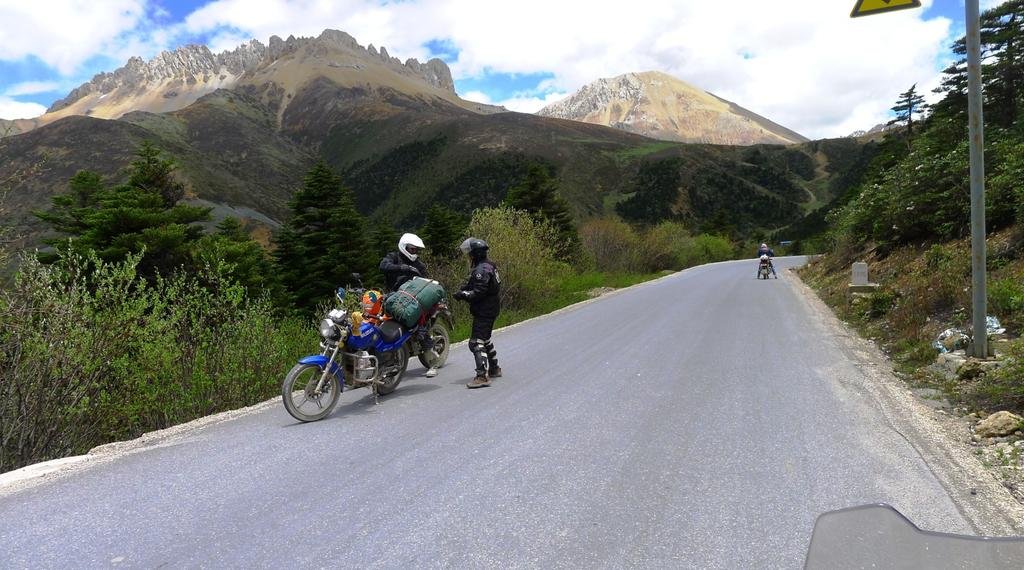
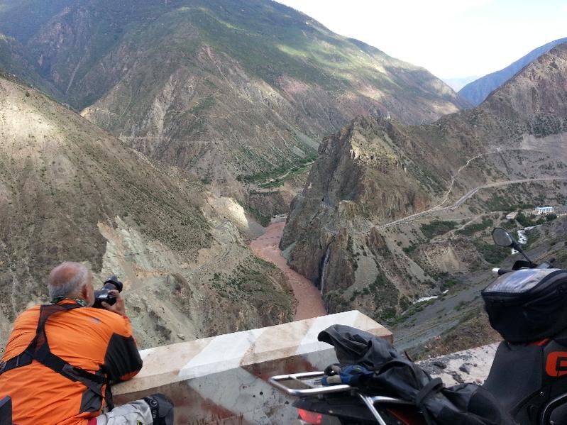
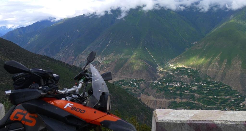
Headed north out of Deqin on G214, this is just north of Kawagarbo mountain
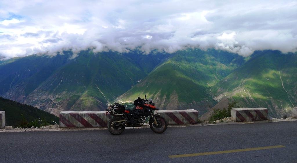
The magical view in the valley
Deqin - Tibet border - Deqin - Weixi. Approx. 330km
0730am start, George not feeling well, so we left him in the hotel room in Deqin until we returned back from the Tibet border.
Headed north out of Deqin on G214, this is just north of Kawagarbo mountain

The magical view in the valley


KTMphil
Senior member
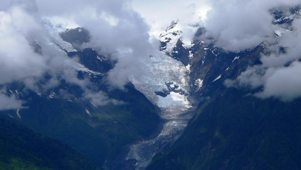
There's a pretty decent view of the Mingyong Glacier around here.
From Wiki:
Mingyong Glacier is located in the Yunnan Province, People's Republic of China, The glacier retreated 200 meters (656 feet) in four years. The region has also seen a rising tree line and these events are believed to be associated with global warming. The glacier is sacred to the local peoples.[SUP][2][/SUP] The glacier is fed by snows which fall on 6,740 m (22,107 ft) Mount Meili, also known as the Meili Snow Mountain. Glaciers in China's Tibetan region are melting at 7 percent annually.[SUP][3][/SUP] At 28.5 degrees north and an elevation of 2,700 meters (8,858 ft), the glacier is located at the lowest latitude and elevation of any glacier in China.
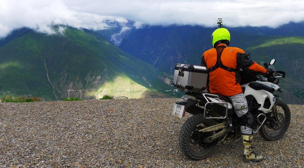
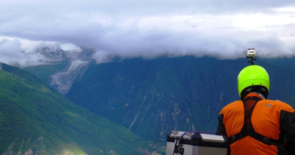
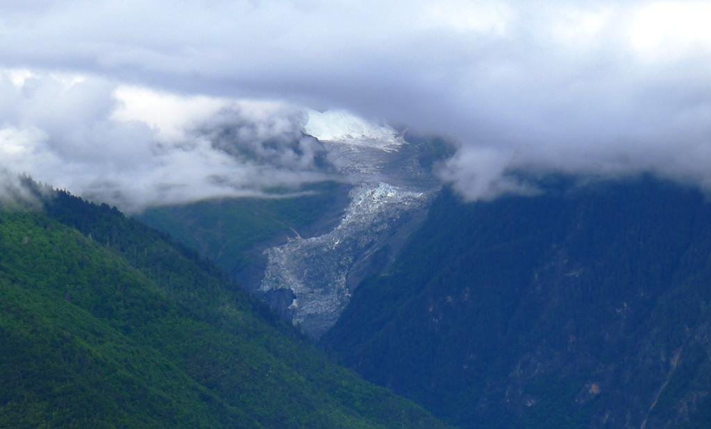
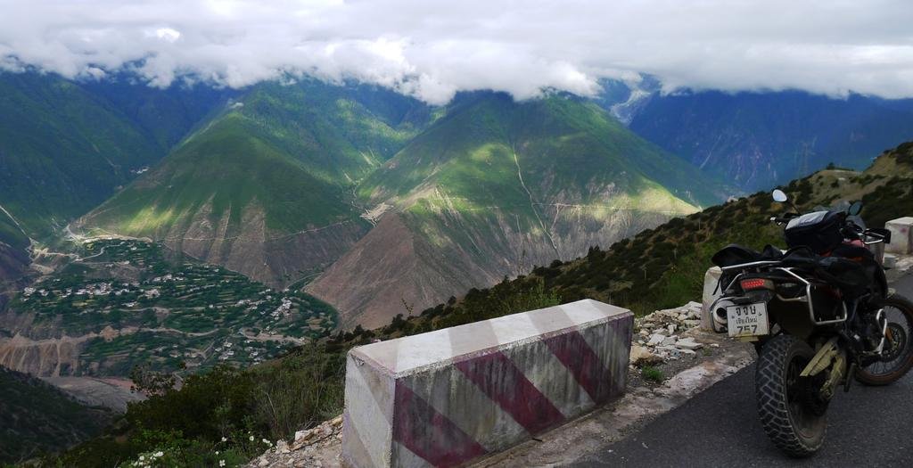
The view north in the valley from the same spot isn't too shabby either
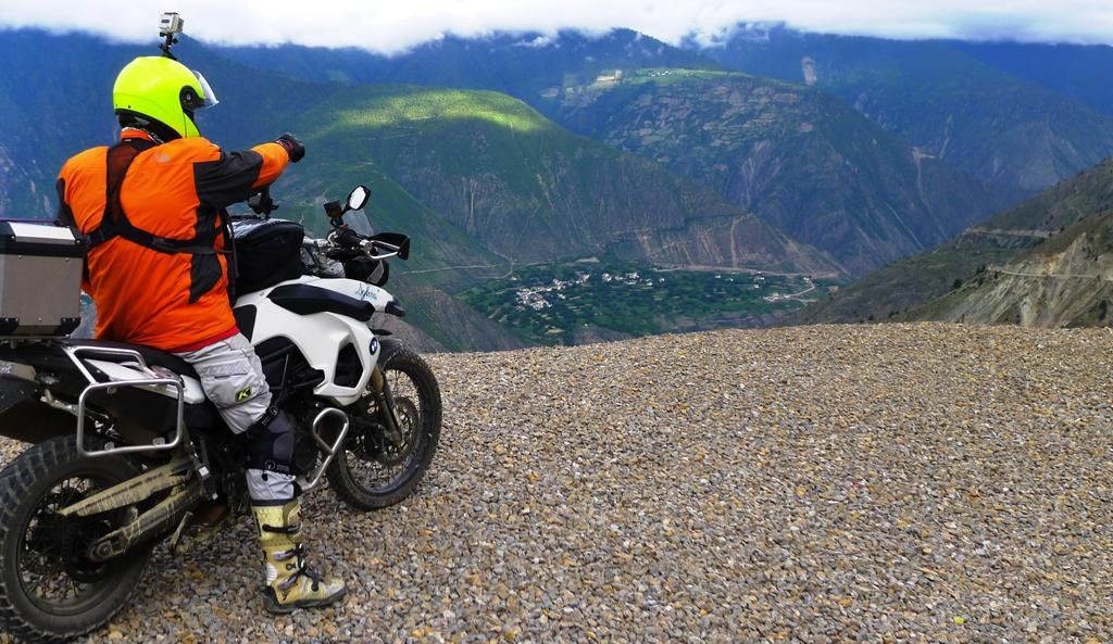
You can see the road ahead in the right middle of the photo below
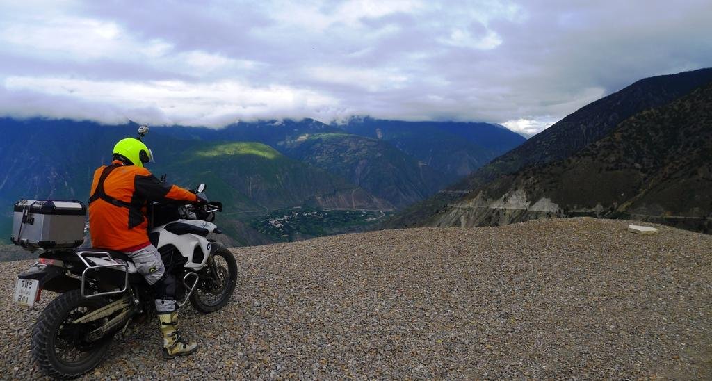
From Wiki:
Mingyong Glacier is located in the Yunnan Province, People's Republic of China, The glacier retreated 200 meters (656 feet) in four years. The region has also seen a rising tree line and these events are believed to be associated with global warming. The glacier is sacred to the local peoples.[SUP][2][/SUP] The glacier is fed by snows which fall on 6,740 m (22,107 ft) Mount Meili, also known as the Meili Snow Mountain. Glaciers in China's Tibetan region are melting at 7 percent annually.[SUP][3][/SUP] At 28.5 degrees north and an elevation of 2,700 meters (8,858 ft), the glacier is located at the lowest latitude and elevation of any glacier in China.


The view north in the valley from the same spot isn't too shabby either

You can see the road ahead in the right middle of the photo below

KTMphil
Senior member
KTMphil
Senior member
This side road next to the waterfalls goes to a small village if we have time on the way back we'll take a look
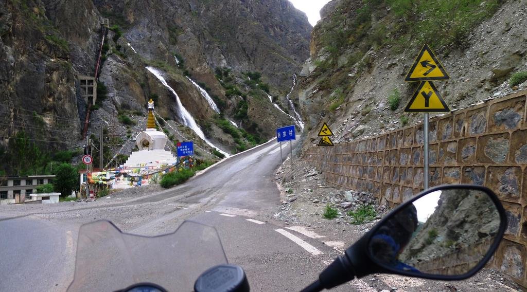
North of Deqin, headed to the Tibet border, this is where we've just come from
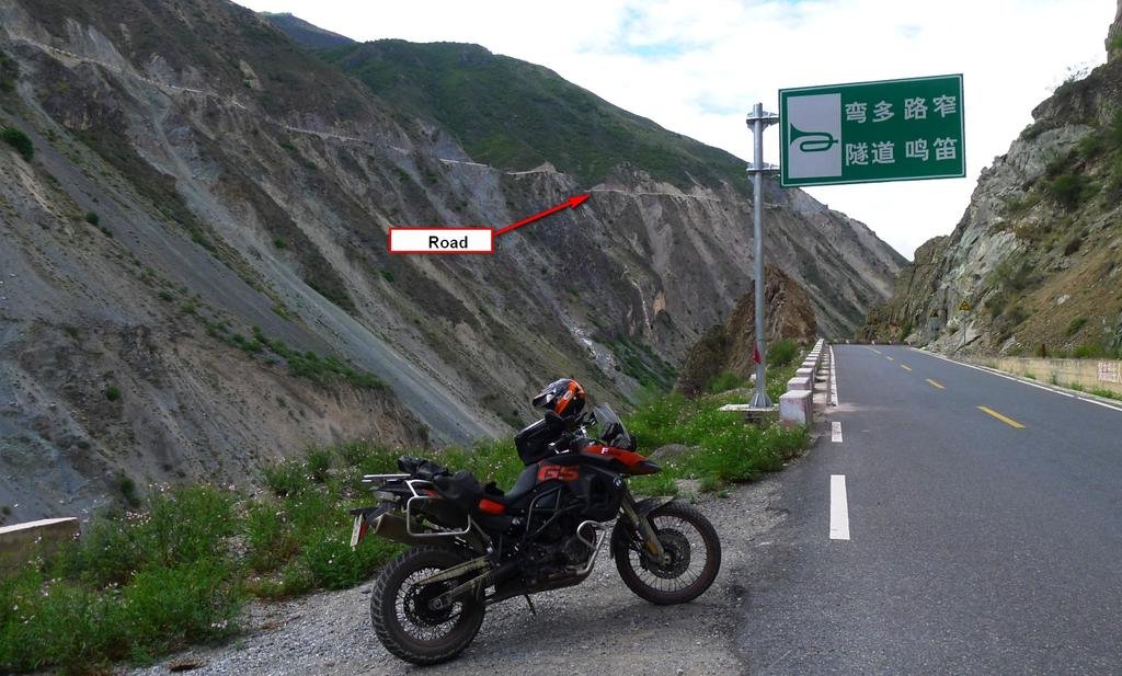
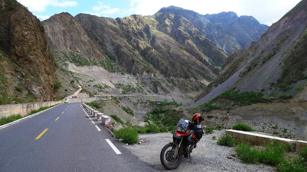
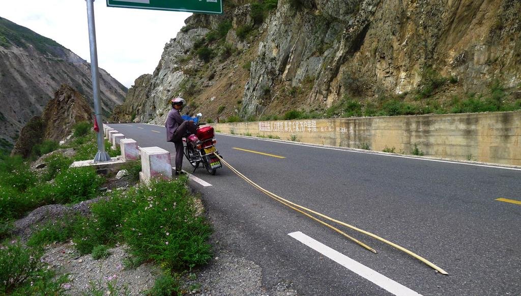
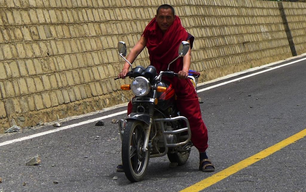
We were intrigued by this guys sticks being towed behind his motorcycle and wondered how long they'd be by the time he got home
10km from the Tibet checkpoint and still plenty of eye candy
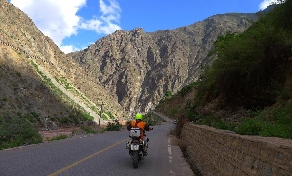
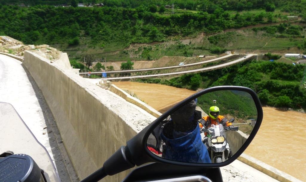
Following G214 north from Deqin to the Tibet checkpoint, you cross the Mekong twice
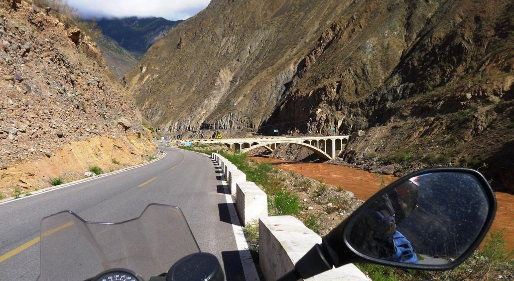

North of Deqin, headed to the Tibet border, this is where we've just come from


We were intrigued by this guys sticks being towed behind his motorcycle and wondered how long they'd be by the time he got home

10km from the Tibet checkpoint and still plenty of eye candy

Following G214 north from Deqin to the Tibet checkpoint, you cross the Mekong twice

KTMphil
Senior member
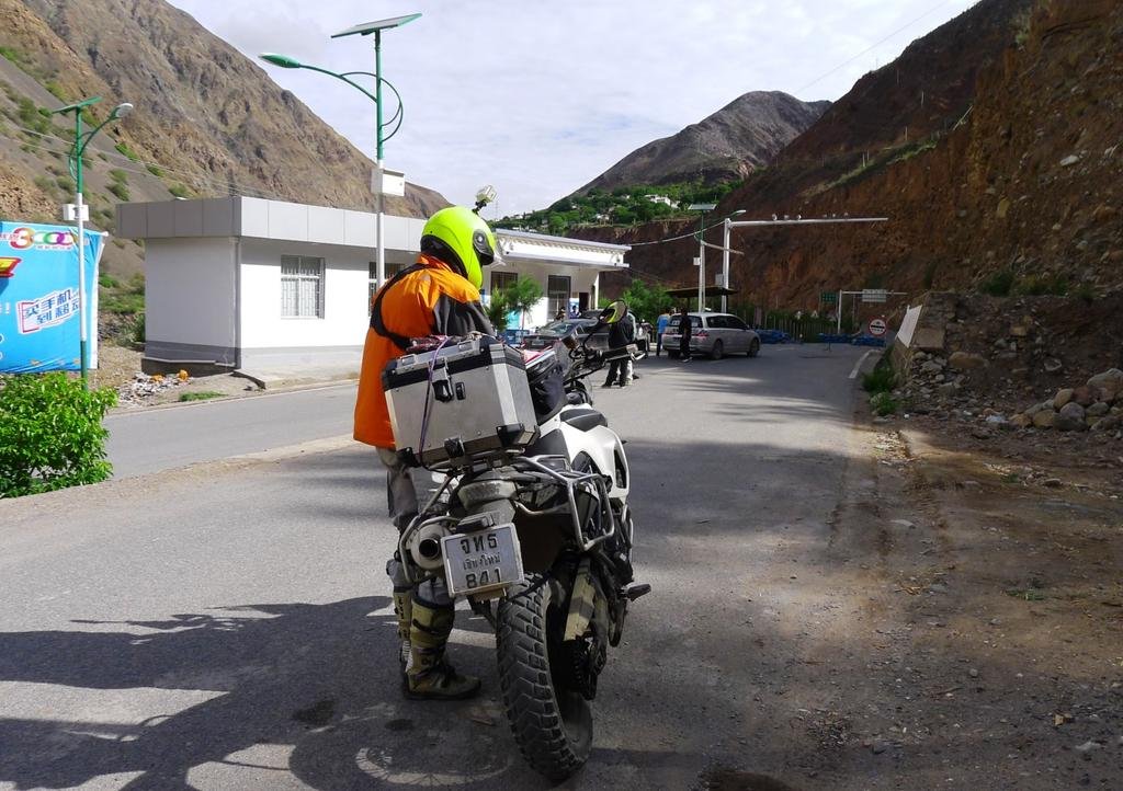
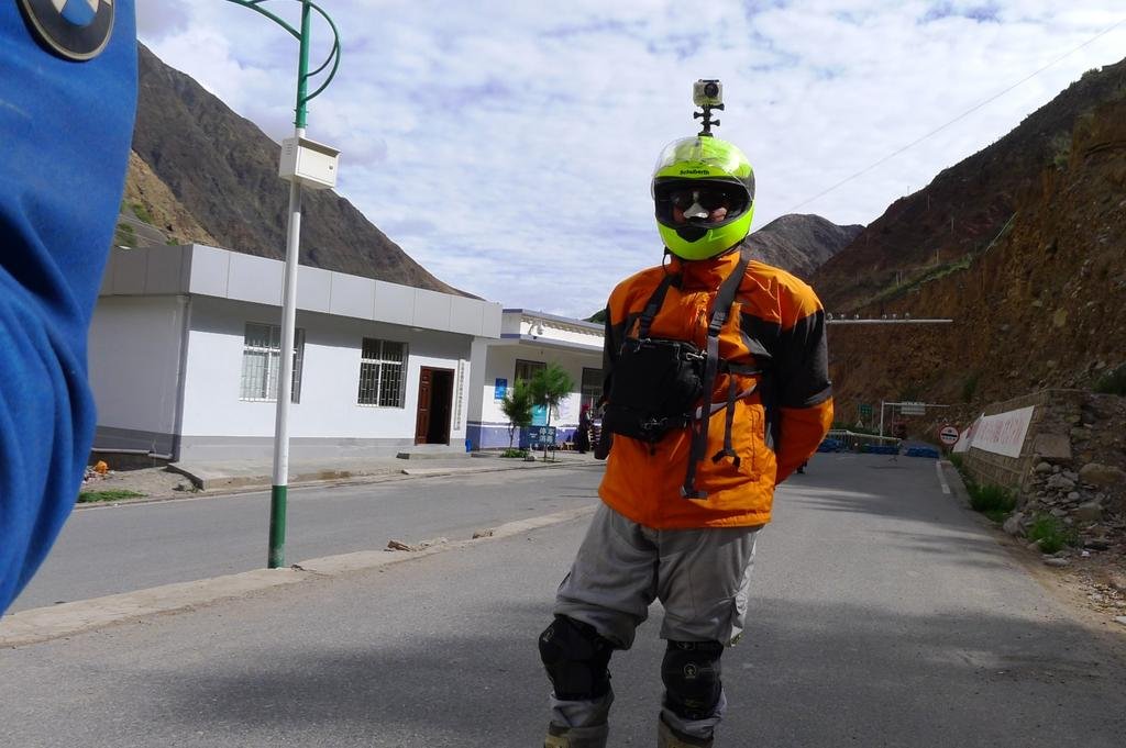
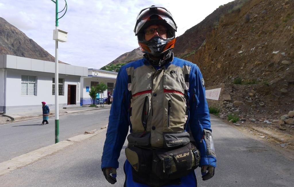
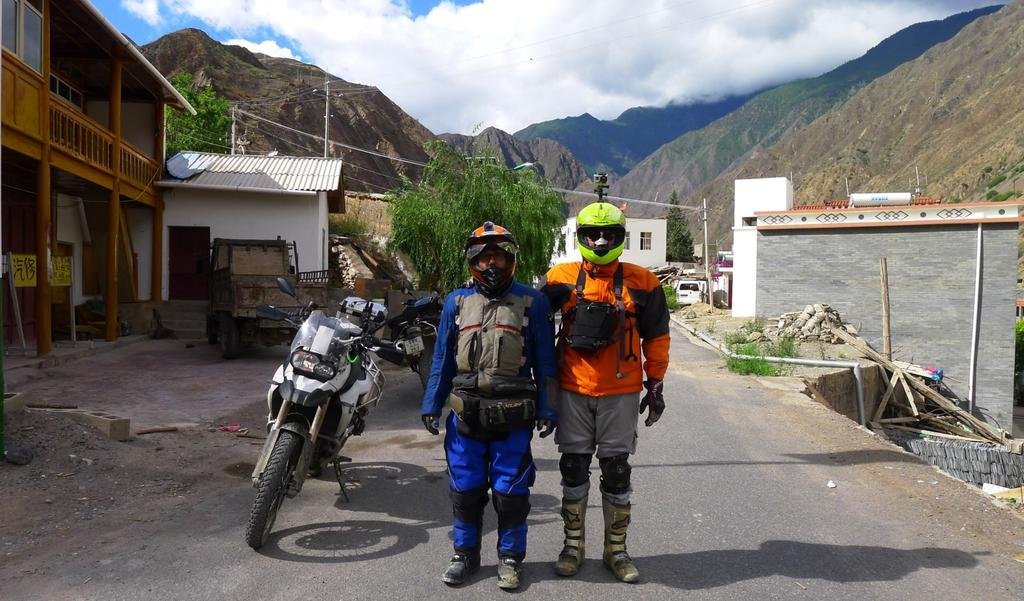
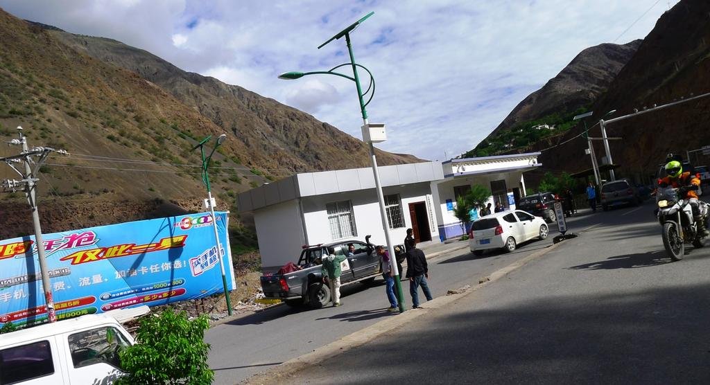
So - we get 500 meters south of the Tibet border checkpoint. This is actually about 20km south of the "real" Tibet border and used as a buffer to stop the congestion and confusion at the "real" Tibet border crossing as many many travelers don't have permits or the correct permits and huge amounts are turned back for various reasons.
Me - "Reed - Rob had to spend a night at a guest house when he was here, last time I was here they tried to arrest me and I managed to get going south, are you sure you want to go right to the checkpoint"?
Reed - " All our paperwork is in order, we have driving permits and visa's why not"?
We start the bikes and around the bend can see the Army HQ and the barrier. As usual they get very excited when they see foreigners, especially on foreign motorcycles, lots of arm waving and shouting as we approach.

KTMphil
Senior member
KTMphil
Senior member
KTMphil
Senior member
KTMphil
Senior member
Back to the ride south from the Tibet border to Deqin........
FYI Wiki Travel on Deqin!!!
Deqin town itself is a terrible manifestation of the worst kind of modern Chinese architecture: dirty, white-tiled, and soulless. However, if you love hiking Deqin is a superb base. If you are not a hiker you might be disappointed, though a short ride out of town does provide a great view of Meilixue Mountain, which could justify the six-hour bus ride from Zhongdian.
Deqin prefecture is where the big mountains are to be found with impossibly steep valleys, mind-blowing vistas, remote monasteries and class A trekking, for all levels, available all year round. In fact the best time to trek is during the winter months as summer is the rainy season. March is the worst month as the rains start but it's still cold enough so it comes down as snow. This is the month to get snowed in.
So, if Deqin is so great, why is it not better known? The main reason for this is that there is not a lot of information available on the area, so the average traveller is left guessing whether it is worth visiting or not. The fact that most travellers will have to return the way they came also puts them off visiting (Deqin is the last town before Tibet proper in Yunnan province).
We have time at the waterfall to go up the mountain towards the small village, there are spectacular views from this windey, paved road
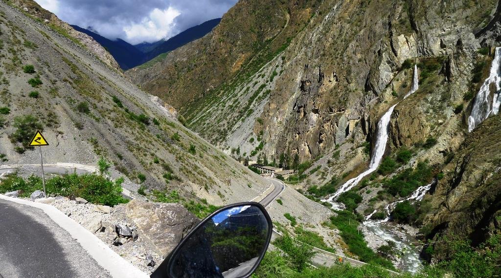
Lots of new road construction at the top
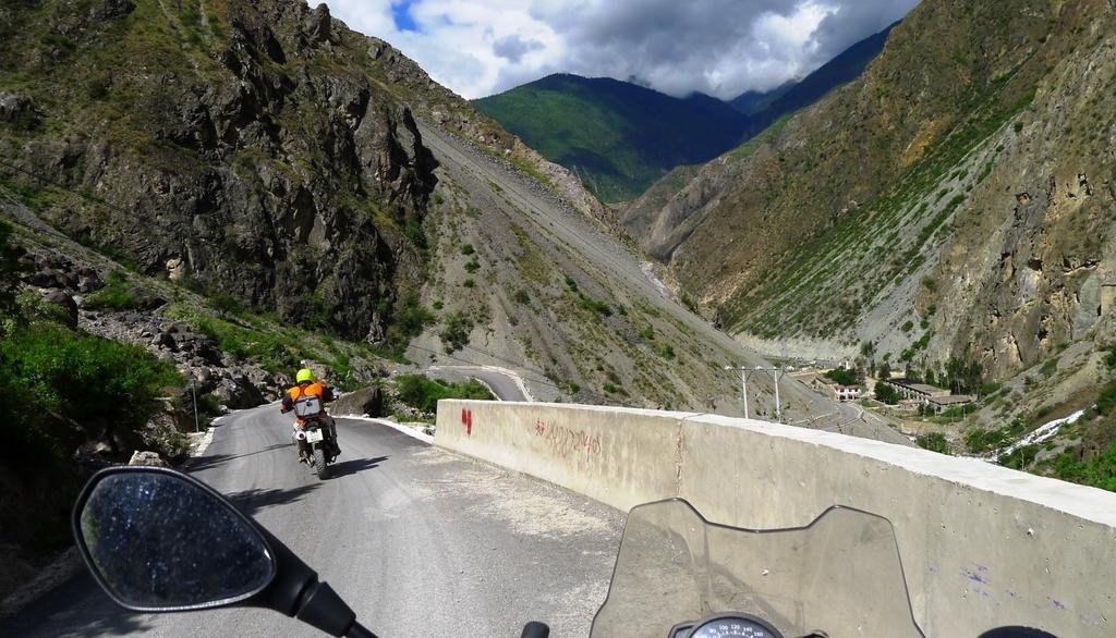
So we shoot back down the roller coaster
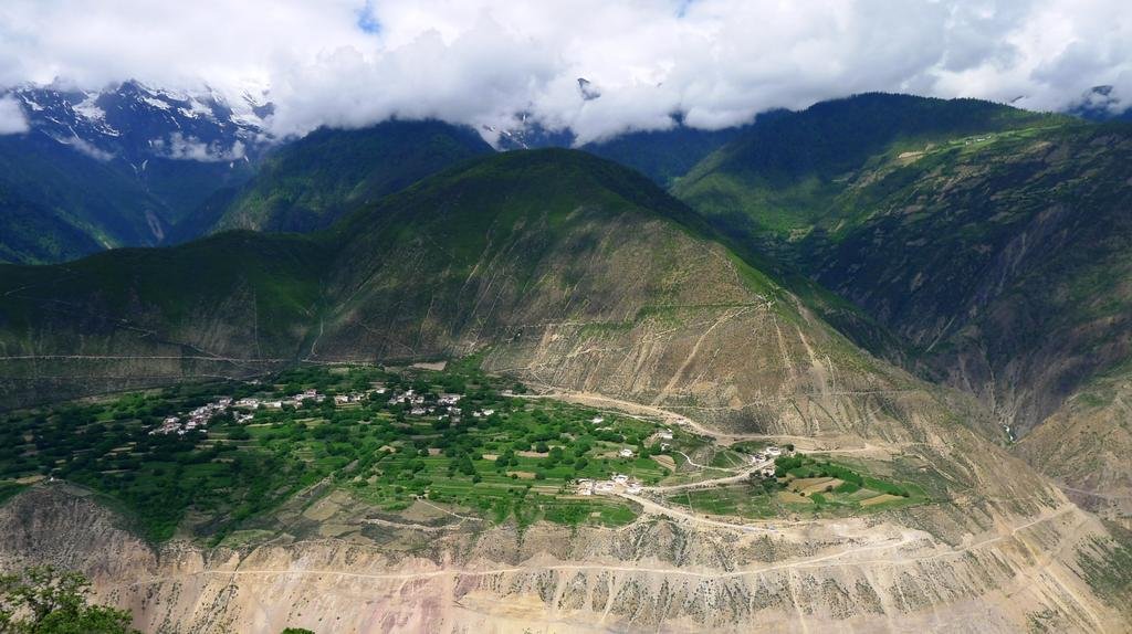
Not bad at all
FYI Wiki Travel on Deqin!!!
Deqin town itself is a terrible manifestation of the worst kind of modern Chinese architecture: dirty, white-tiled, and soulless. However, if you love hiking Deqin is a superb base. If you are not a hiker you might be disappointed, though a short ride out of town does provide a great view of Meilixue Mountain, which could justify the six-hour bus ride from Zhongdian.
Deqin prefecture is where the big mountains are to be found with impossibly steep valleys, mind-blowing vistas, remote monasteries and class A trekking, for all levels, available all year round. In fact the best time to trek is during the winter months as summer is the rainy season. March is the worst month as the rains start but it's still cold enough so it comes down as snow. This is the month to get snowed in.
So, if Deqin is so great, why is it not better known? The main reason for this is that there is not a lot of information available on the area, so the average traveller is left guessing whether it is worth visiting or not. The fact that most travellers will have to return the way they came also puts them off visiting (Deqin is the last town before Tibet proper in Yunnan province).
We have time at the waterfall to go up the mountain towards the small village, there are spectacular views from this windey, paved road

Lots of new road construction at the top

So we shoot back down the roller coaster

Not bad at all

KTMphil
Senior member
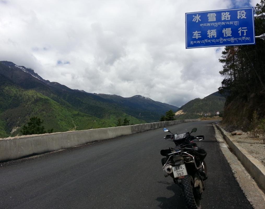
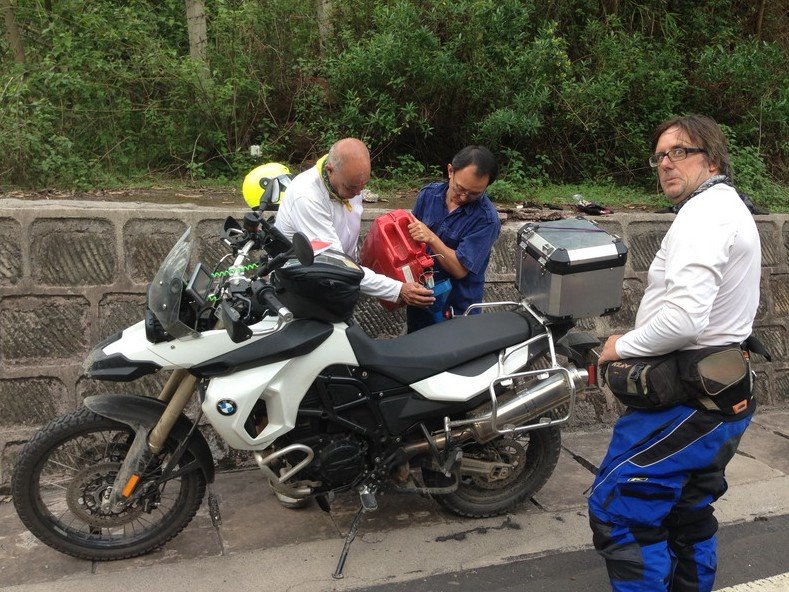
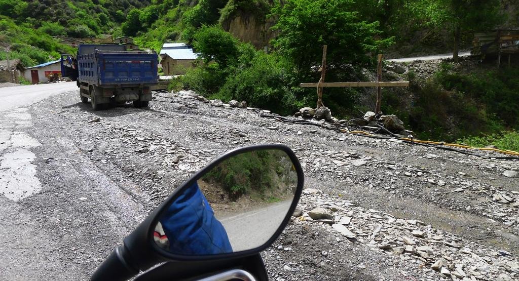
All the downhill sections of the mountain roads are always wet. This is because all the trucks and buses drizzle water from gravity fed tanks onto their brake calipers to stop the brake fluid from boiling. One down gradient we saw was 24km!!!
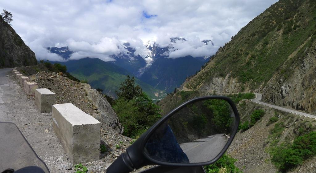
These water tanks empty every couple of hours and need refilling, here's the refilling hoses at the side of the road.
View attachment 17724
Mingyong Glacier on the way south back to Deqin
View attachment 17725
View attachment 17726
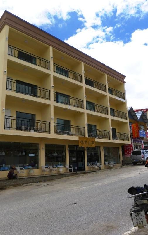
If I stayed in Meli again, this is the place i'd stay. Rooms are around 300 Yuan (USD$50 ish), clean new and they serve great, clean food. It's on the main highway (G 214) through town
View attachment 17727
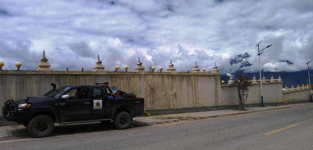
Lunch & then off south. The truck is with us because this is a "complete" tour dry run, hopefully the first tour (Chiang Mai to the Tibet border) will be in October, 2013.
View attachment 17728
These water tanks empty every couple of hours and need refilling, here's the refilling hoses at the side of the road.
View attachment 17724

Mingyong Glacier on the way south back to Deqin
View attachment 17725

View attachment 17726

If I stayed in Meli again, this is the place i'd stay. Rooms are around 300 Yuan (USD$50 ish), clean new and they serve great, clean food. It's on the main highway (G 214) through town
View attachment 17727

Lunch & then off south. The truck is with us because this is a "complete" tour dry run, hopefully the first tour (Chiang Mai to the Tibet border) will be in October, 2013.
View attachment 17728

KTMphil
Senior member
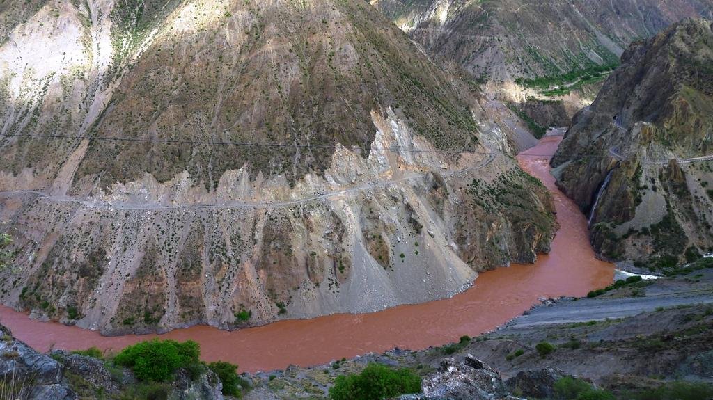
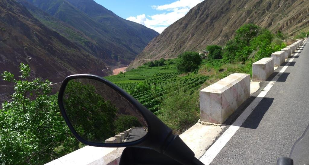
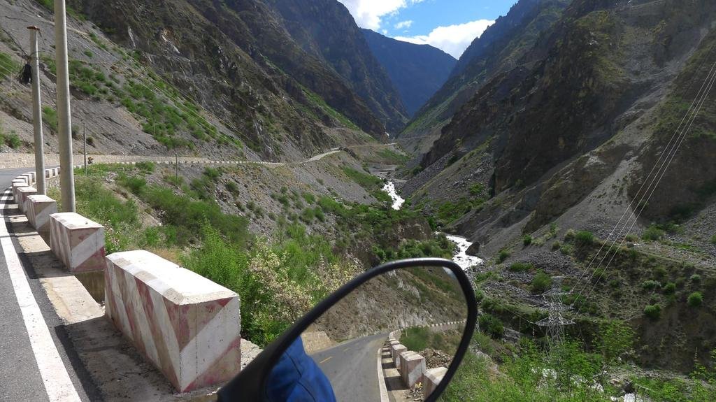
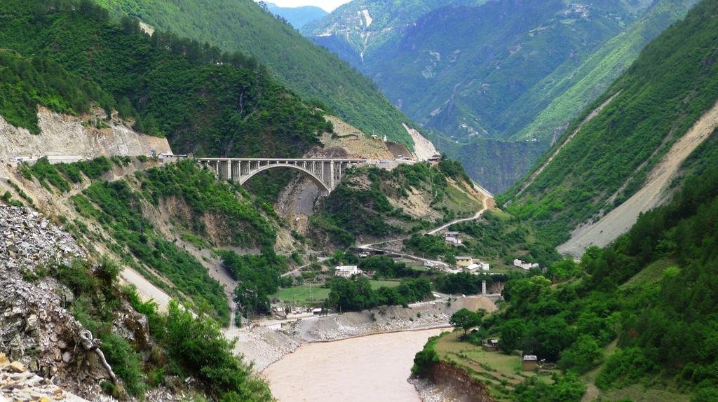
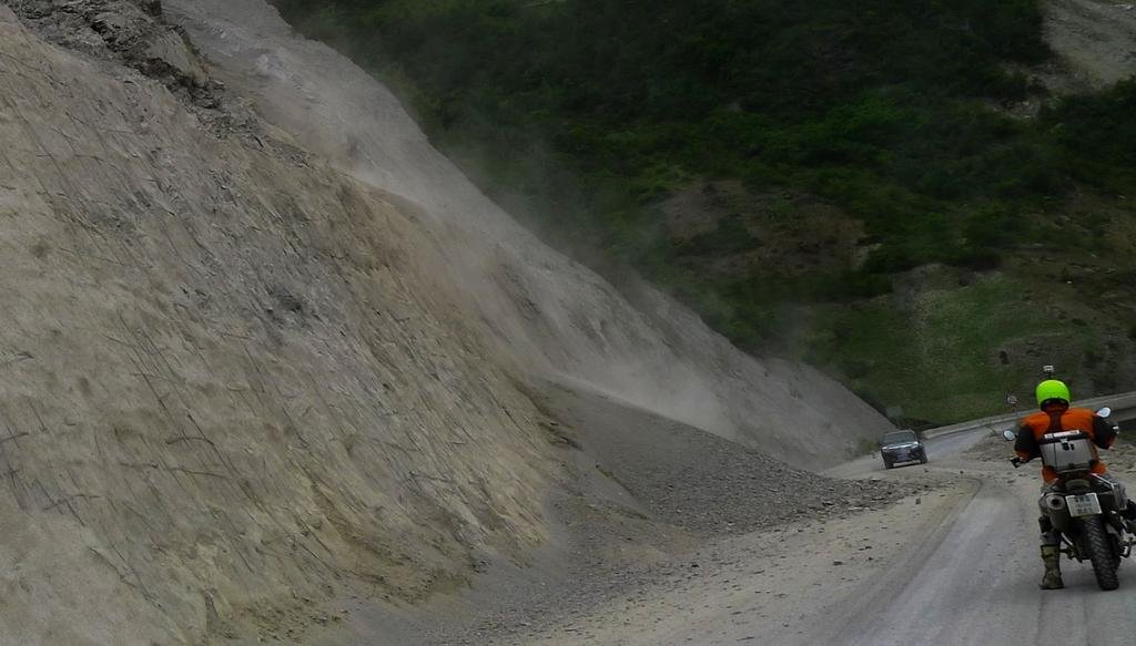
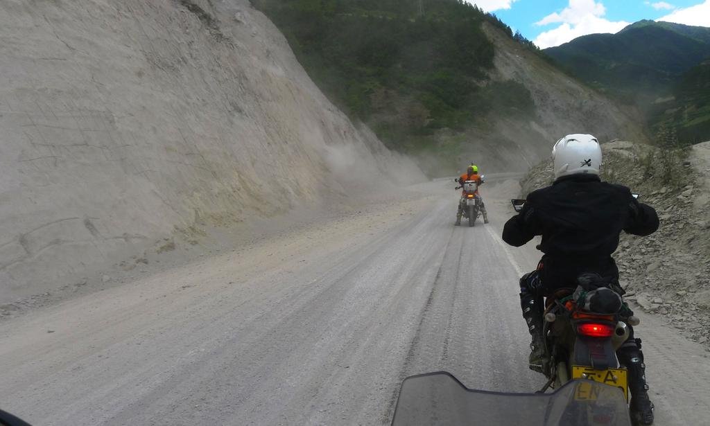
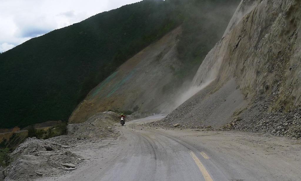
Back in Deqin, we take a right turn, south into the valley through town and onto the new road which follows the Mekong River south
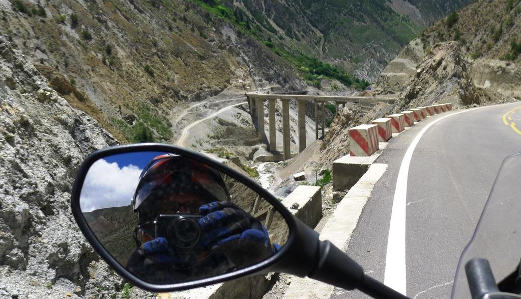
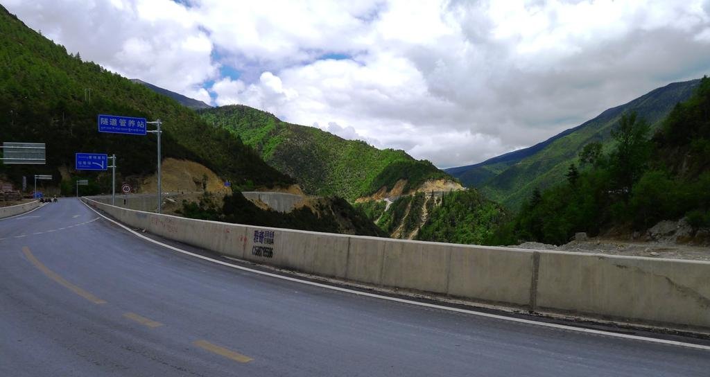
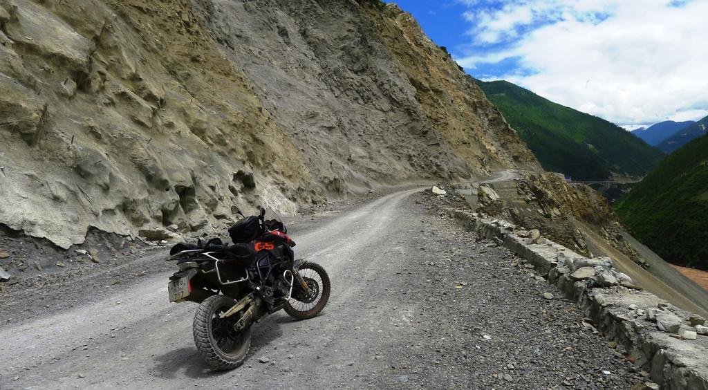
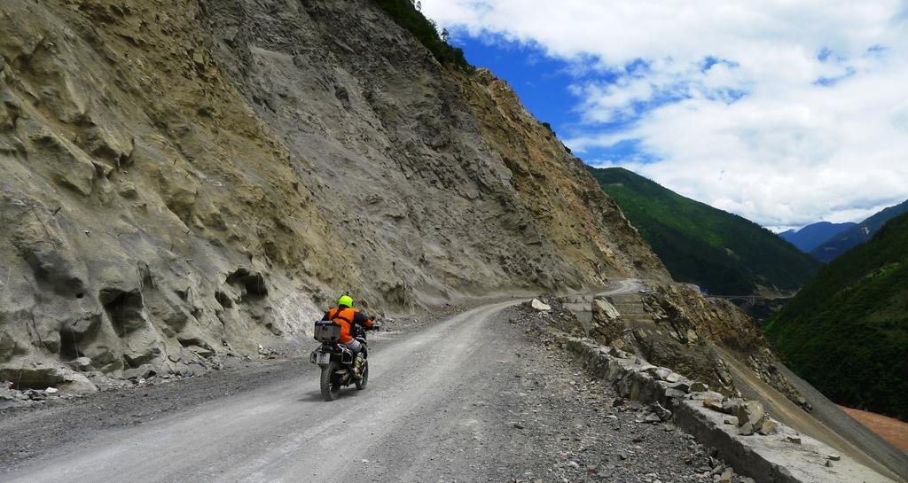
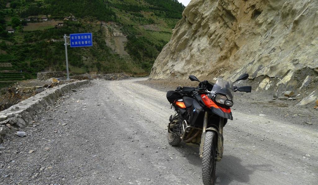
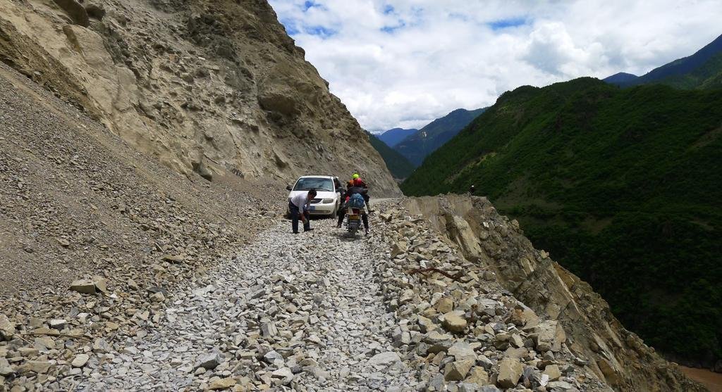
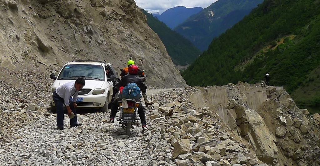
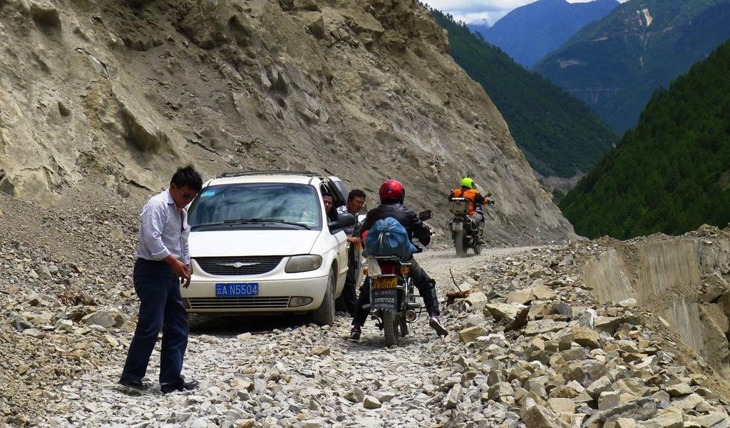
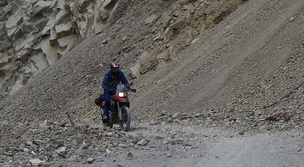
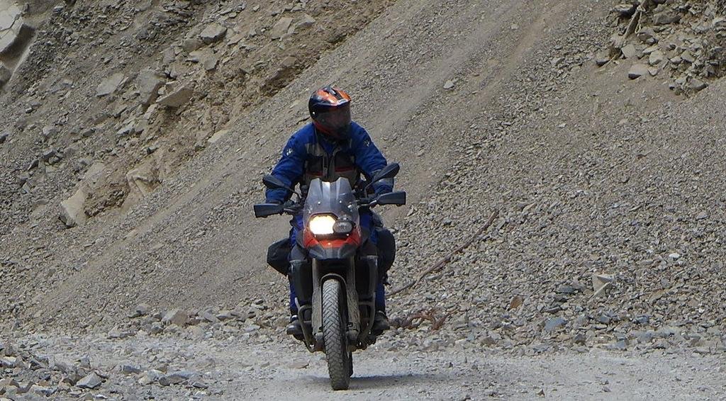
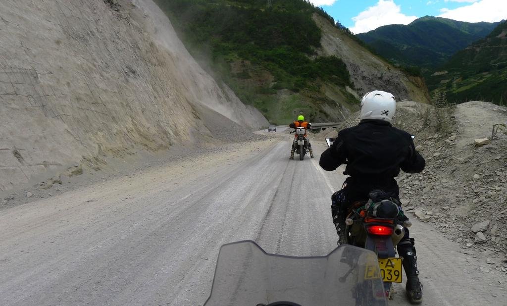
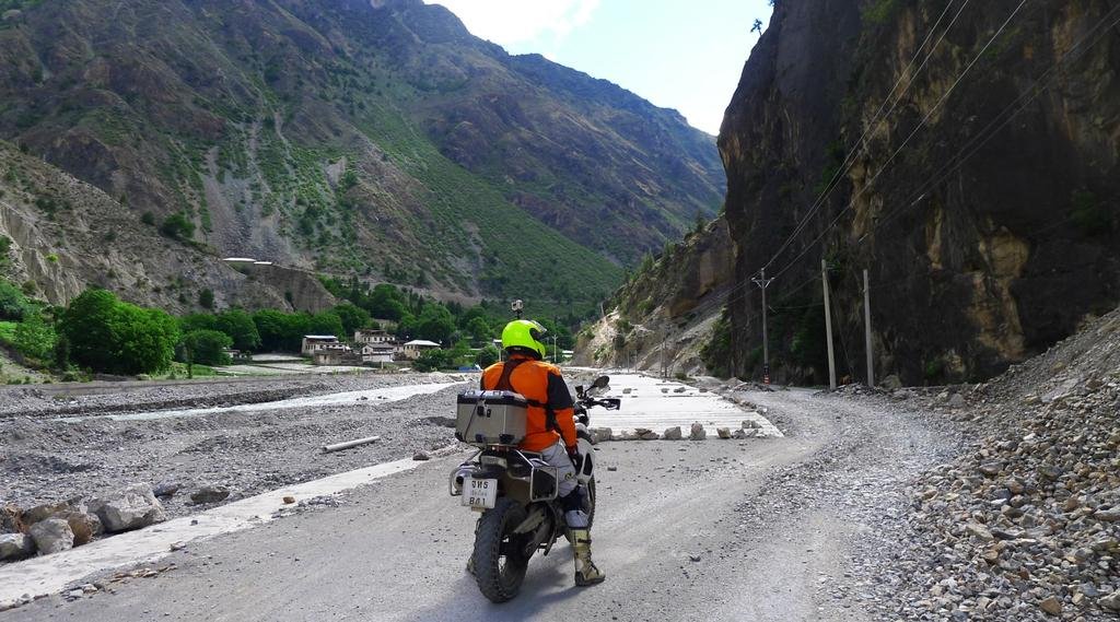
Lots of landslides on this road, have to be super careful
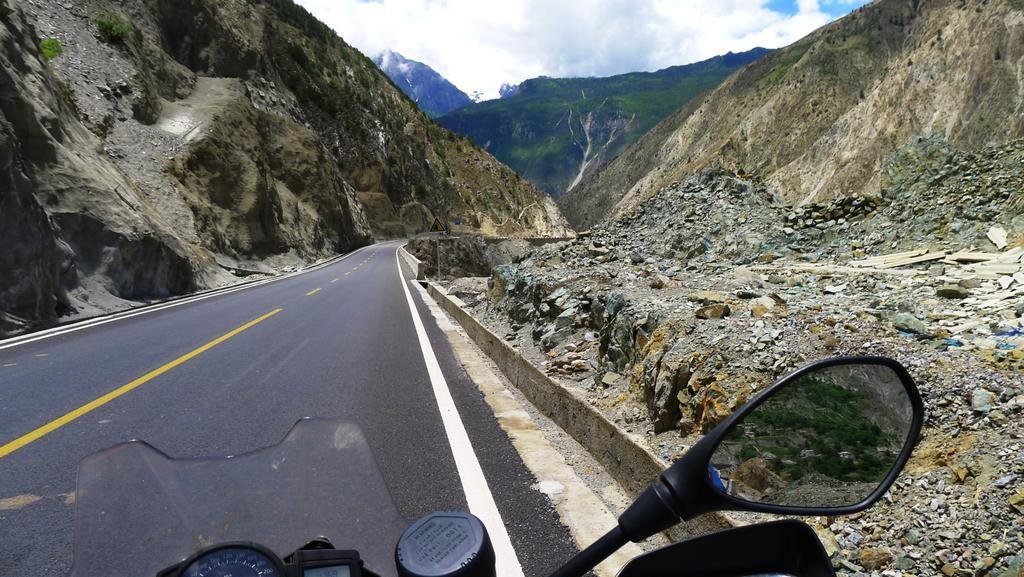
Following the Kong
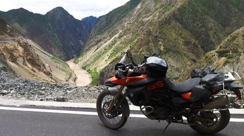
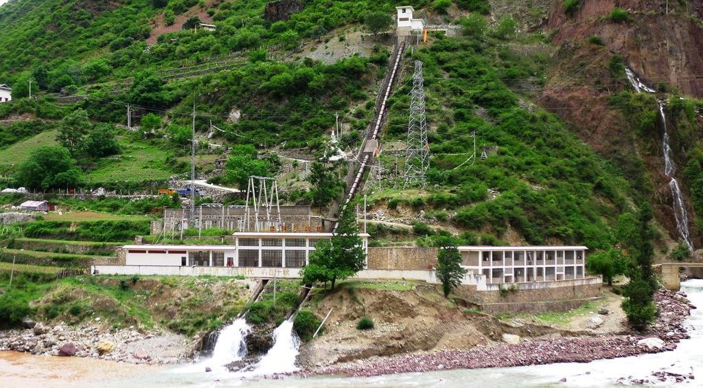
A multitude of natural springs here
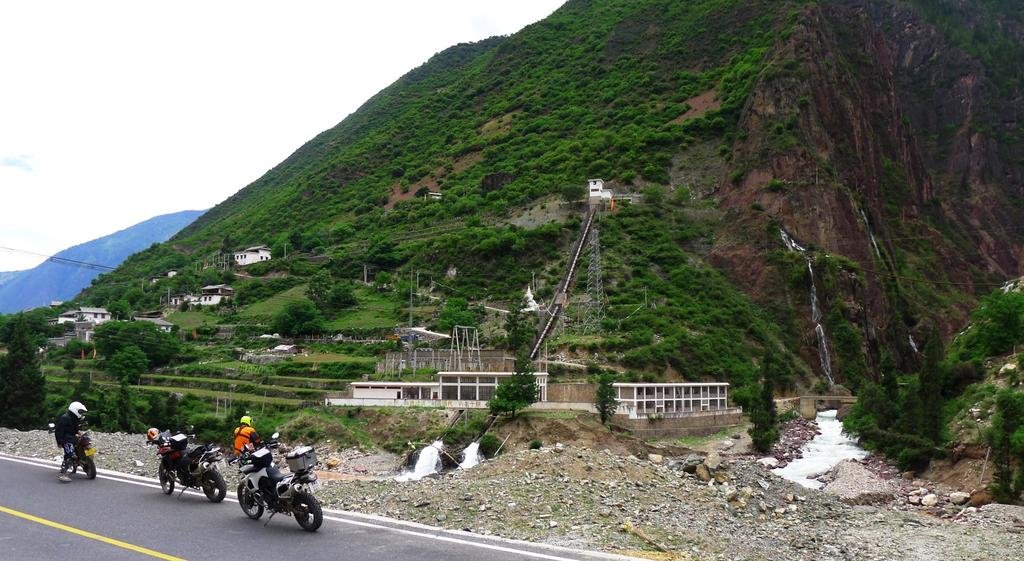
Looks like they've made use of that free potential energy here with a hydro-electric

Lots of landslides on this road, have to be super careful

Following the Kong

A multitude of natural springs here

Looks like they've made use of that free potential energy here with a hydro-electric

KTMphil
Senior member
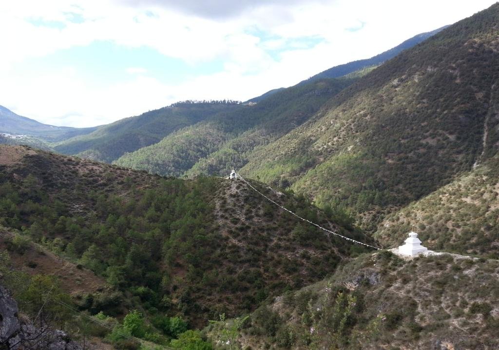
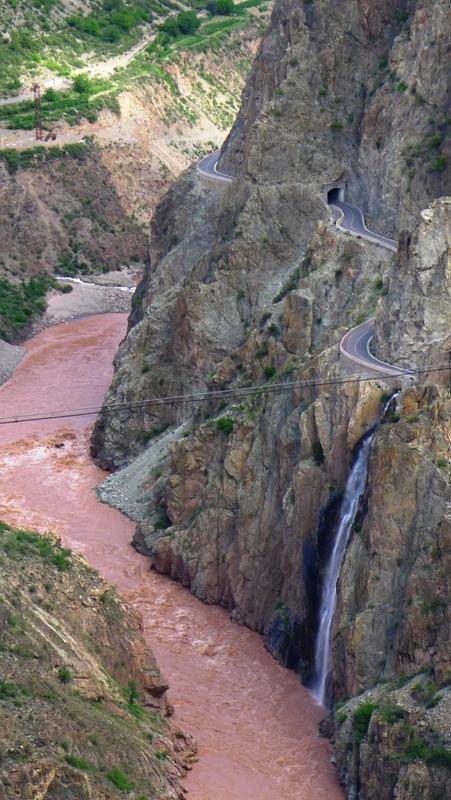
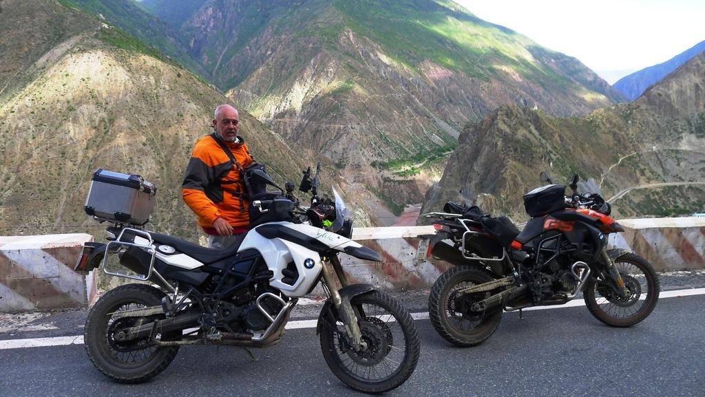
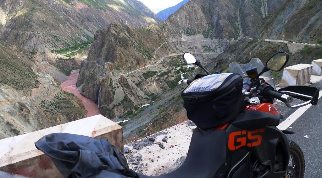
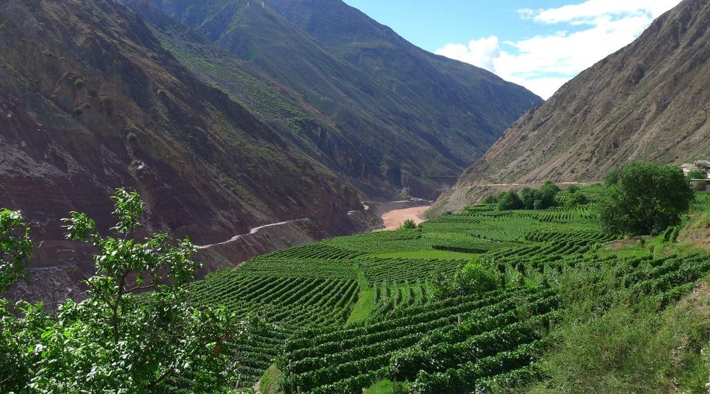
Got lucky with this one, might be one of the best of the trip, headed south along the Mekong south of Deqin
Top center of the photo below, you can see the French Monastery that was built in 1903. The whole village is still of catholic faith and every Sunday there is worship with hymns sung in their "own" language.
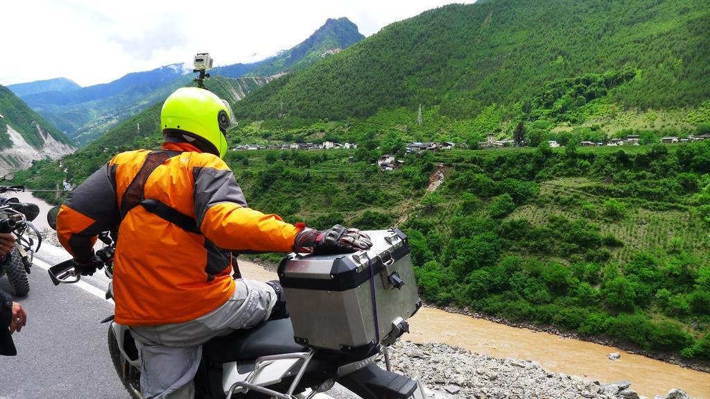
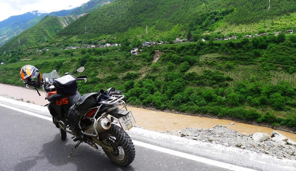
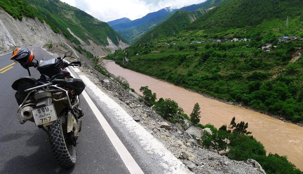

Top center of the photo below, you can see the French Monastery that was built in 1903. The whole village is still of catholic faith and every Sunday there is worship with hymns sung in their "own" language.


KTMphil
Senior member
KTMphil
Senior member
KTMphil
Senior member
rhiekel
Member
- Joined
- Jan 22, 2011
That is a new checkpoint that would be south from the one I was at. I came in late at night hoping the checkpoint right at the border would be closed and I would just zip through. Wrong..... They grabbed my passport, questioned me in a room for a long time, then forced me to stay in a crappy room that I think was meant for truckers. In the morning they handed me back my passport and told me to leave. So I was not exactly imprisoned, but I sure as hell was not leaving until they wanted me to. :-) I took that one photo of the bar across the road, and the policeman started screaming at
me saying no no no... I just snapped it quickly, fired the bike, and left...Good to see your checkpoint encounter came out better than mine !! You are taking some great photos. Looks like the road has improved a lot. When I went it was like a
80 kilometer construction zone..
What road are you on with the landslides? Is that the road that goes down the mountain at the junction in Deqin?
KTMphil
Senior member
How about this for a Kodak moment on a bright day?
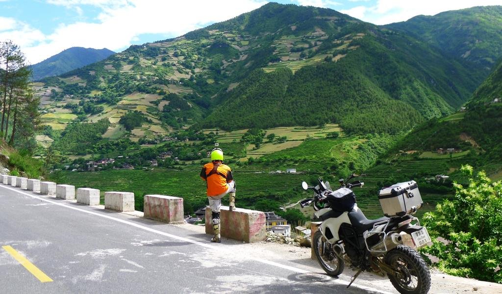
Looks like they have plenty of available water with all that greenery
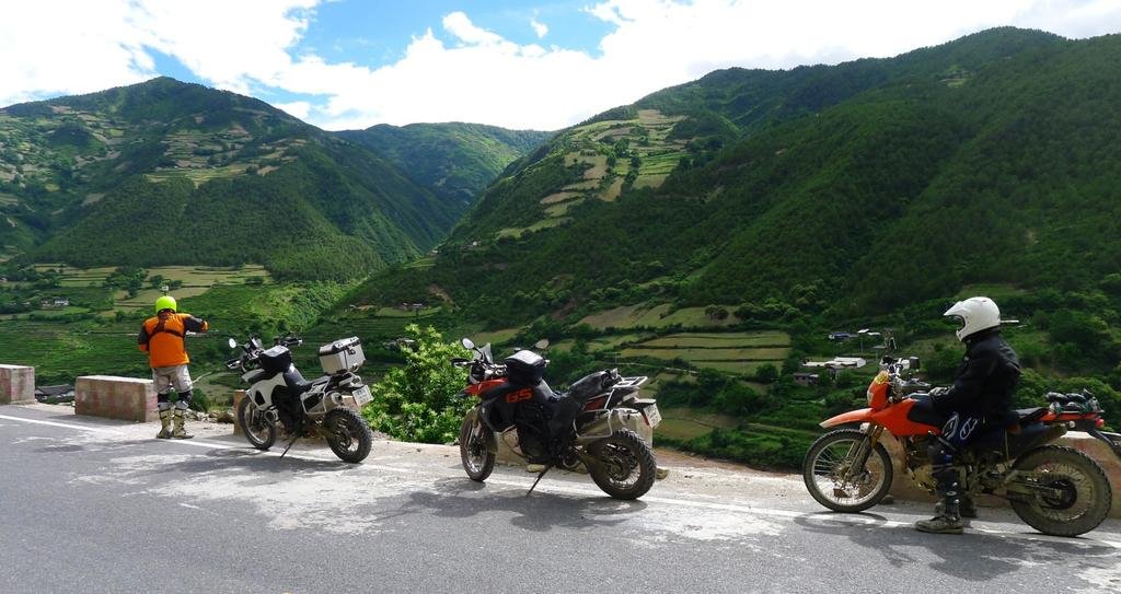
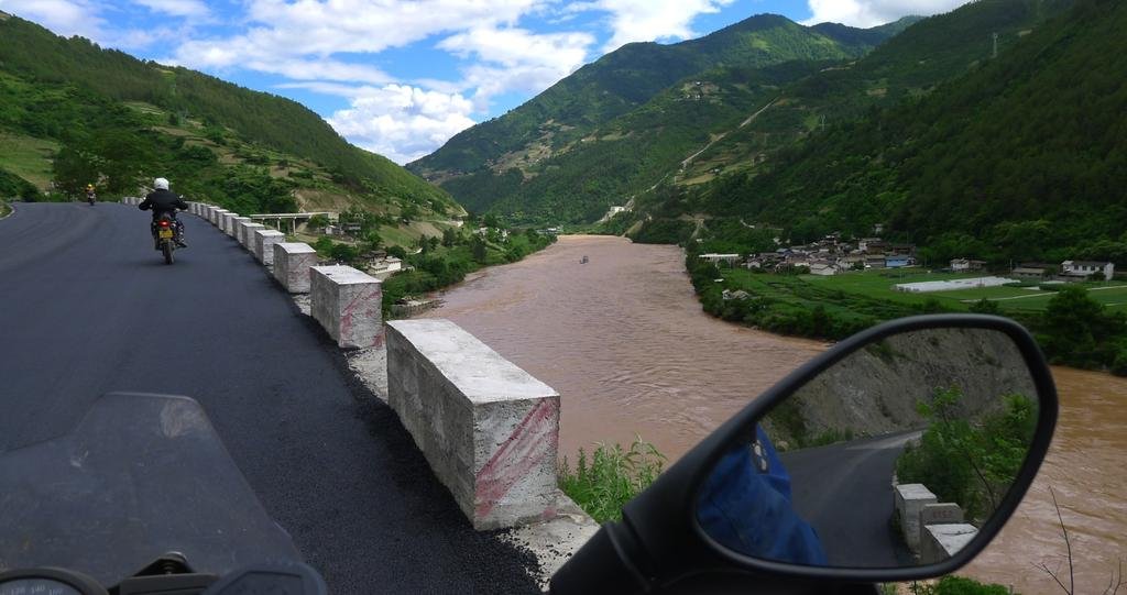

Looks like they have plenty of available water with all that greenery


KTMphil
Senior member
What road are you on with the landslides? Is that the road that goes down the mountain at the junction in Deqin?
Yep it's that road that follows the Mekong River south. I can't believe how much improvement there has been in the roads since last time I was here, its amazing.
| Thread starter | Similar threads | Forum | Replies | Date |
|---|---|---|---|---|
| R | Tours all over the road | China Ride Reports | 0 | |
|
|
A tour through China with no guide | China Ride Reports | 160 | |
|
|
Thailand to Shangri-La bike tour 7-21 April 2012 | China Ride Reports | 1 |


