Recky tour - Chiang Mai to the Tibet border / Kawa Karpo at 6,740 meters (22,113')

Tomorrow Lijian to Shangri-la, via Tiger Leaping Gorge. Last time I was at TLG it was rainy season and looked like this


6739d1361890874-north-west-china-tibet-border-7629591836_05445af4b6_b.jpg


6740d1361890874-north-west-china-tibet-border-7629591092_0ff8167239_b.jpg


More here:


http://www.rideasia.net/motorcycle-...orth-west-china-tibet-border-2.html#post16344


It will be interesting to see what it looks like without much rain
 
Please pass on my kind regards to Jah. :DD
Must be excellent riding with him.
 
When you enter Tiger Leaping Gorge, and after you hike down to the bottom, :-) , just keep going northwest along the Yangtze river as a alternate route to Shangri La. No traffic, and far far far more scenic......I will try to find the number of that road.
 
When you enter Tiger Leaping Gorge, and after you hike down to the bottom, :-) , just keep going northwest along the river as a alternate route to Shangri La. No traffic, and far far far more scenic......I will try to find the number of that road.


Yep, that's the plan, I went the other way north last time
 
Yep, that's the plan, I went the other way north last time

Hope your truck driver is not afraid of steep drop offs...... :-) I am not entirely sure a truck could make that road,
I only saw a couple of small cars. There were a few narrow bits........ Probably better to have the truck go on the main road.
 
Reaching Lijian

Below, Reed's blog #6 about us reaching Lijiang, I hope you enjoy is captivating writing


Post #6
Dateline: Sunday, June 2, midnight.


Welcome to the "Shangri-La Here We Come" Blog.


Present location: Jiliang.
Today's riding distance: 167 kms.
Driving (moving) time): 3:15
Moving average: 51 kph.


Tomorrow destination: SHANGRIL-LA!
Approximate distance: 220 kms
Guesstimate driving time: 6 hours


Phil Gibbins is taking a ton of photos, way more than me. He is posting them online. You can view them at the following url:

http://www.rideasia.net/motorcycle-...-karpo-6-740-meters-22-113-a-2.html#post29354


Hello Interested Parties,


Oops, missed a day. So sorry. Just not enough time. The pace is non-stop, and as I am writing this I can see from my hotel window a fantastic scene of a massive group ethnic dance in the market square of Lijiang Old Town. Traditionally-costumed dancers are dancing in a large circle ringed by hundreds of onlookers flashing their cameras at them like electronic bubbles. The rhythmic, incessant pounding of tribal drums are vibrating my window panes. I really should be out there photographing and videoing the going-ons, but instead I feel an obligation to the followers of this blog to keep everyone updated on how this tour is going, which is going absolutely fabulous, by the way.


And since I missed yesterday, I'll fill you in yesterday's trip data right here.


Yesterday's location: Dali
Driving distance: 345 kms.
Driving (moving) time: 4:43
Moving average: 73 kph


Below is the gps track, from the start, including the last two days:


GPS Track from Chiang Mai to Lijiang

GPS Track from Chiang Mai to Lijiang


To start off with, I'll briefly fill you in on yesterday's ride.
Being in the center of Kunming, it took us awhile to reach the highway especially because we had to take a circuitous route to reach it. This is because mcs are not really allowed on the highways and we had to ride a ways out of town to take a lesser-used entrance than the main city ones.


This was the first day on the tour I can say I did not enjoy the riding. I did not hate it, but it was basically your typical, boring interstate-type highway riding with not much in the way of challenging curves. If you like highway riding, then you would have liked this ride. It was a Harley-cruiser-type ride. Plenty of people enjoy this type of riding but it is not my cup of tea. When the terrain grew rugged and canyony over the last 20 ks pleasure started creeping in again but it was too short-lived.


The road was marked AH 14 (Asia Highway) and when all the Asian countries can get there shit together regarding regional travel, this will be one of the main roads in the Pan-Asia highway system. Our bearing was west-northwest. Our highpoint hit 2200 meters and for most of the day we never dipped below 1600 meters. Traffic was light and the road condition was mostly fine on this restricted-access, four lane divided highway. The weather was fine.


Dali is situated on the north side of a large lake. It is a city with a long history and the town retains its old-style Chinese charm with blocks full of two story connected buildings with a curved roof eaves and curved terracotta tiles that look like bamboo. We ate well that night once again on traditional Yunnan dishes. The most interesting dish was a plate of assorted tree funguses. At the table next to ours sat a group of six, old Chinese men dressed in peasant jackets and peasant hats who looked like they participated back in the old days on the Long March with Chairman Mao.


Today we got another late start, mainly because both George and I overslept. It was raining, though, and we probably would have waited it out anyway. When we were ready to leave it pretty much tapered off and rain was not a factor for the rest of the day. Didn't see much sun, though.
We did not take the highway today and instead took the old road up over the mountains that sort of paralleled the highway. The road was a narrow, two-lane undivided road without a shoulder that ran through many small towns. It was infinitely more interesting than yesterday's highway, but a large number of lorries lumbering up and down it to escape the highway tolls were hard to pass. And when we did pass, passing was dangerous because the road surface was hazardous, covered with grit and sand and potholes. And oncoming cars were also trying to pass whenever they had a chance. Tough to say which one I preferred; this, or yesterday's droning highway that bored straight through all the intervening mountains.


Today we peaked at over 2,500 meters and spent almost the entire day rarely dropping below 2,000 meters.


But we did make several interesting stops which would have been impossible if we took the highway. We stopped in a traditional Chinese farming community and wandered around a bit, but hardly anyone was around as they were all out working in their fields.
After that we rode into a large valley that was one huge rice field. Thousands of workers were spread across it in small teams planting new rice shoots by hand.


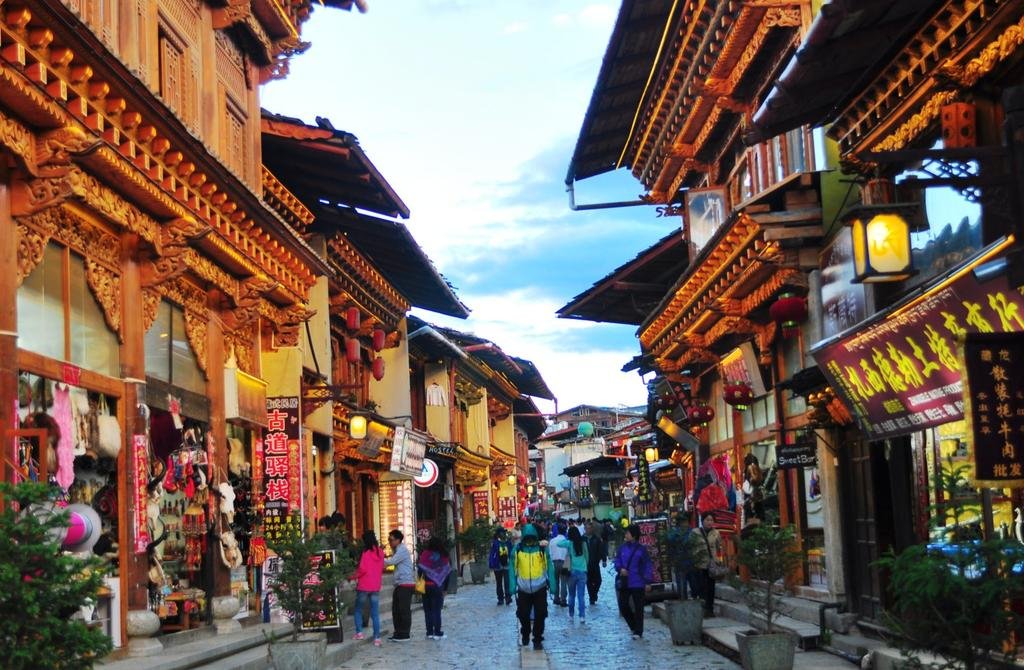
We pulled into Lijiang mid-afternoon and checked into our hotel which is in a perfect location; right on the edge of the Old City. Lijiang is a UNESCO world heritage site and THE most popular tourist destination in China. They get three times the amount of visitors than the Forbidden City and this is amazing as Jiliang is really out there in the boondocks. What also is amazing is that only twenty years ago hardly any visitors ever made their way to Lijiang.


If you think of an ancient Chinese city like you would see in a historic kung-fu movie, this is Jiliang. Every single place you turn your head there's a fantastic photo. The building architecture is outstanding. Charm permeates everything. It is filled with tourists, but so what: everyone is marveling at the same things. Every single person has a camera and is shooting away, mostly at their friends and families posing in front of some charming scene


No cars are allowed in the Old City, not that any could pass through their narrow streets developed when horses and carts were in common use.


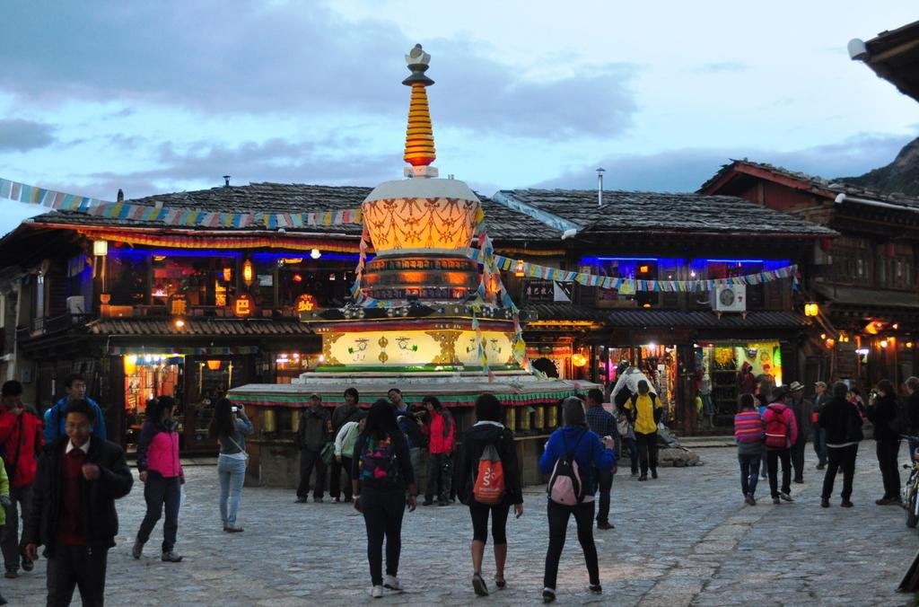
There is one huge open square which has become the de-facto starting point for a walking tour. Two ancient, gigantic, wooden waterwheels are still spinning in the stream that runs through Jiliang. I promise to post photos of Lijiang and a bunch of other places we visited when we reach SHANGRI-LA. I should have some extra time to devote to this blog because we plan on taking a rest day there.


That's it for this post. Have to get ready for an early start for SHANGRI-LA tomorrow. Shangri-La! I still can't believe it.


Until tomorrow, Bye-bye.
 
Doesn't look that significant until you zoom in and see the people standing on the platform....awesome

17489d1370259844-recky-tour-chiang-mai-tibet-border-kawa-karpo-6-740-meters-22-113-forumrunner_2.jpg
 
A quick rewind to Lijian. After an afternoon of walking around the old town, it was time for a Change from Chinese food - Bon Appetito pizza

2013-06-03_212120.jpg


A few beers, then off to be for a 0730am start


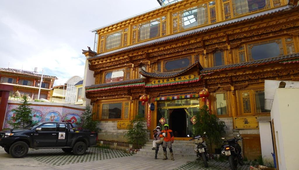
Getting ready to leave Lijian, the famous water wheel on the edge of the old city outside the Grand Lijian Hotel (280 RMB a night)


6sihCIYxYrwx6Gq2d0Cuswl3ftFu-lFnEVzQAqqqyMVv=w800-h500-no


A few hours north and were at the Yulong & Haba Snow mountain viewpoint


jgw0bz503GrHbz65RWo9Y0R5KDVVlOwlwhYGzNrT7fqC=w800-h666-no


These banners weren't there last time I was here


c-kVVXXzoGutBT4wMMyjJ2yCRSe2S-TmQle5HE7kegfo=w800-h528-no


For good luck


2013-06-03_212351.jpg


2013-06-03_212323.jpg


2013-06-03_212307.jpg


2013-06-03_212451.jpg


2013-06-03_212535.jpg


The lookout was a little misty but still decent


2013-06-03_212409.jpg


2013-06-03_212615.jpg


2013-06-03_212637.jpg
 
A couple of hours north of Lijian and we're at the famous Tiger leaping Gorge


2013-06-03_212740.jpg


2013-06-03_213053.jpg


Looks like these Chinese ladies liked it as much as we did


2013-06-03_213108.jpg


jF66wDTeHdzQMCPzpEJewukKhb2w3KlppIL0dP5dGPpS=w800-h516-no


It really is a must see & riding all the way there makes it feel all the better

kOXFrbsOmtXk2m2ddCw50huu6WWo1bG_TmGEXV0RQsFm=w530-h800-no


Through the tunnel past the view point, the road suddenly becomes desolate, they all go back to the highway from there


J5r5DK-IMOGmTIR7mC2ayTcjVtQu8eafqsRiTU1LlAy2=w800-h529-no


ZXy0jzkPJ2P2hRYtZn0B-qCciNFHtUhUdqIKUpyiSiwB=w800-h527-no


We'd been told (even though it looks straight down), that its impossible to throw a a stone into the river

TlPO_Byk0rF1N0malkdSQjgVeP8EVNn8xLQ04ClD-yhH=w800-h529-no


George looking for the suitable stone


4Z1FjJrYIh-VpUGxbY9NB1yVsQjrxlzgO7rcxkfc8BaV=w800-h548-no


XecrzsLiuwWJ9SLirt8hoFlIaRuCno3Ix4E_T3dKvPiR=w800-h452-no


1st try - nope hits the rock wall


elldSspcKk1zM0wYhmz_d6VHihFpK3vL4Xz4AimRwEmz=w800-h432-no


2nd try - same, its true!


NJsU_zUc5JAbUhLniawPZjOvbrYB2MD3uBXseIf7KI1Q=w800-h438-no

'
 
The TLG is captivating


atl_VPslGGBm4-58ZXfK0Ri-yIc0RK2-yOVbQJ1Up-_e=w800-h478-no


fyRDuNIY_q52QiC-9I2F_iRtIyK78DdGnoD2swdSLmqD=w800-h450-no


Our support vehicle driver

Ht8TcS1T5SCmUys-GfZt15H9bacDry8fj-JtPyr5P0G4=w800-h482-no


Below is the very start of TLG from the highway

bMW7xxgioXdZaiGuZut7qPAmenwwyTVgAYNlWJf9XHiP=w800-h460-no


Getting it with the GoPro


j1KLCU5lYRYkMxdB4faDXCYtwCsEZI8nvk0UinzIeNuA=w800-h438-no


Can you imagine cutting this?


YdaleAsUvhp4yxlt2WRO86UxF4IF7_oUvmQxY06e3V0c=w800-h454-no


kxaSC_Steo72jeIyz76LkKzniEKeHRbgjOtVaaCAo5tq=w800-h533-no


Ps_xT2-pAcNNYA6UKSOacpSHTQkgEPDmWGmdRh9xTs1D=w800-h532-no


kA_XPLpEN3Hp4J6ZEEm2o95u84t7bwzyp6AlaBP_VPwO=w800-h525-no
 
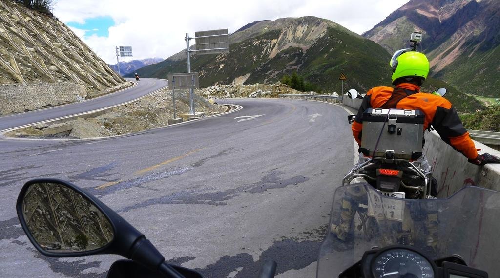
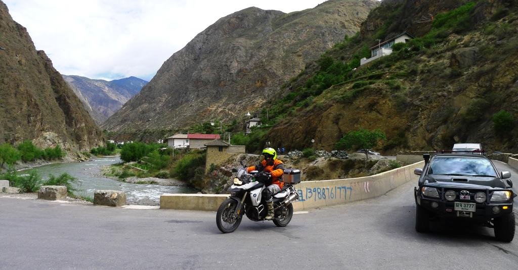
As Reed said today "this is the best motorcycle road i have EVER ridden" (I knew he'd love it!). Here following the river E/NE


GVjHQAC5ozrO6vGjMpLfM0Qam-nIQkgvYGCoi8_tOi3O=w800-h426-no


Y8COC0mFdhzzWDiBKtfohk-QL1YzSm1Q4qwVe5ZVMt5p=w800-h458-no


Support vehicle always at the back


F0IBPagORIQJOZ_GlV3PB3DWbJgee_kEMy868qzuoZrz=w800-h445-no


This was an amazing switchback section


7QQvrmusp77tGlTU3Po3pqYVPko-_jTI5o_6sAncGGNB=w800-h448-no


WBtArcwh_7iQtaolCufCK7bawoWWwHs1WhvKJPGnWwVp=w800-h443-no


The views just continued and continued


tmAahqa-4vRQbinMn2e013rQtJn2E-YxX_qUOyJmJUhf=w800-h450-no


Great lunch stop on the TLG river road

WiudAO7c2qQLjvlATZvNW0gkwVXrPWVLXGv9FyMFDecl=w800-h444-no


What a view they have

gm-uGgpkAJmn-KslLPTJHGhs6q6C7-DZGkblOt-81j3T=w482-h800-no


80 RMB room too!

nvy6Dq61uW4kG0xcwOJaUGa61vLXV2OTnFy-mqHCMruk=w800-h440-no


z-2uzIkfsO7zJzQdc5-ld119EAI_eBz8pk8F8BIplkXa=w800-h450-no


Packed support vehicle

tvlfi9lTq5tCgyFgz24vVwc-U2Tv1tJprnkOzT8epwpG=w800-h404-no


Waiting for the food

2013-06-03_215930.jpg


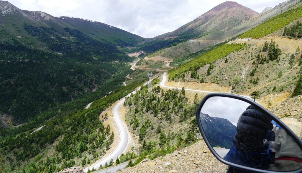
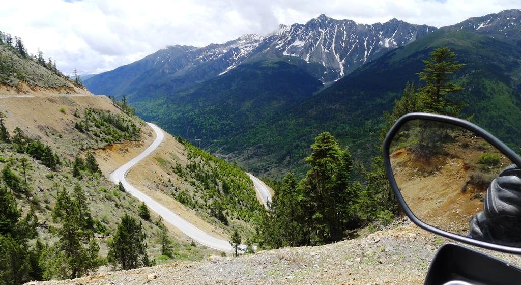
After lunch off again NE in the direction of Shangri-La, there wasn't a dull moment on this road, we stayed in 2nd and 3rd gear to take in the scenery


2013-06-03_213927.jpg
 
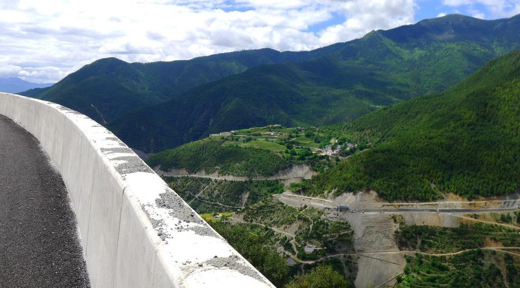
The views were like this ALL the way for about 140km !!! Garden(s) of Eden hidden between all the barren mountains


2013-06-03_213943.jpg


2013-06-03_214015.jpg


2013-06-03_214136.jpg


We had some rain, afterwards the great viz

2013-06-03_214148.jpg


2013-06-03_214205.jpg


Our first Yak of the trip


2013-06-03_220225.jpg
 
.....Rest day In Shangri-La tomorrow, more to come (Bloody cold here, about to jump into the electric blanket)
 
Knew you would like that route along the river...... :-)
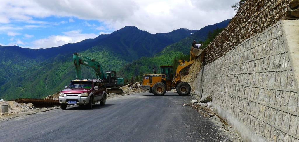
Also looks like they have improved the road a bit as well...
545487710_FvdaT-L.jpg
 
.....Rest day In Shangri-La tomorrow, more to come (Bloody cold here, about to jump into the electric blanket)


Reed's been riding in Asia for over 20 years and said it was the best/ most scenic motorcycle road he has ever ridden.
 
You can exchange USD $ for Chinese Yuan/ RMB in Shangri-La. Only Bank of China can do this, ICBC & Agricultural Bank of China cannot do fx. You will need to bring your passport to the bank with you.
 
Mr. R at the famous Tibetan monastery just north of Shangri-La!


2013-06-04_171932.jpg


A couple of fish eye shots from the TLG


2013-06-04_171548.jpg


2013-06-04_171808.jpg


2013-06-04_171830.jpg
 
All everyone could say today was - WOW! Unbelievable eye candy (& riding).


2013-06-05_160015.jpg


June 5th, 2013 - Shangri-La to Deqin, approximately 200km, 5 hours with stops


0730am start, no rain for the first time in a few days in the mornings and northbound towards Deqin.

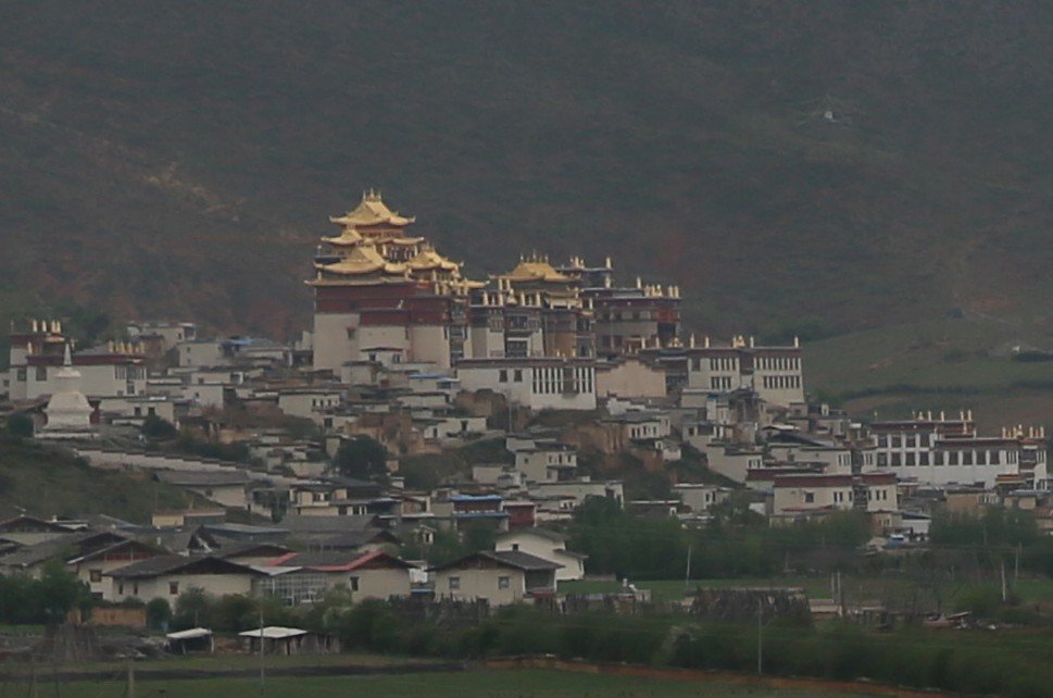
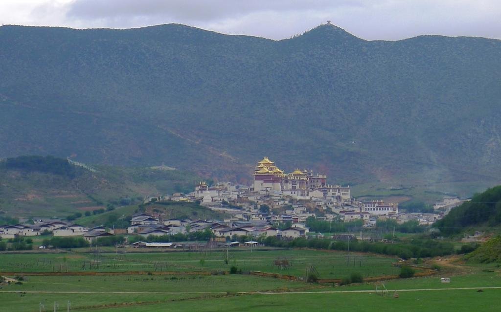
Leaving Shangri-La, the Ganden Sumtseling Monastery, also known as Sungtseling and Guihuasi


2013-06-05_161252.jpg


temple.jpg
Photo: Reed Resnikoff
 
Doesn't take a genius to see why it's called Shangri-La


2013-06-05_161158.jpg


2013-06-05_161137.jpg


We climb up into the mountains - luckily the clouds had already lifted, I think we're at 2,500 meters here


2013-06-05_161117.jpg


A bit higher here and what a view!

2013-06-05_161058.jpg


2013-06-05_161031.jpg


Mr R got the Canon 5D Mk III out of his man-bra for this one, it was worth it


2013-06-05_161009.jpg
 
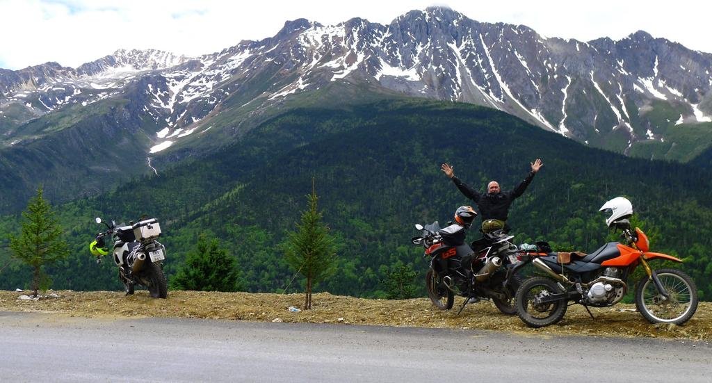
There must be close to a 1,000,000 km's of riding experience here (George has ridden around the world on a Africa Twin amongst many other trips, also a very experienced rider) & we all agree that this is some of the best riding terrain we've ever been on.


2013-06-05_160619.jpg


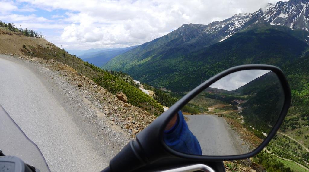
Look at these remote roads!


2013-06-05_160544.jpg


2013-06-05_160521.jpg


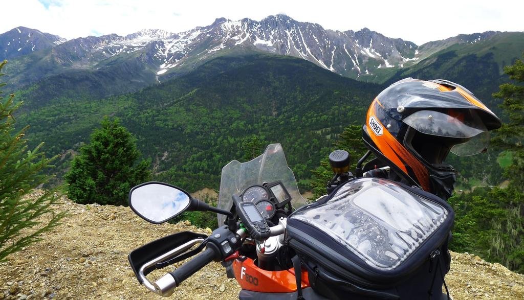
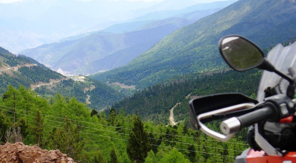
A rider's paradise (but wrap up, June in the northern hemisphere and 14C!)


2013-06-05_160503.jpg


2013-06-05_160442.jpg
 
This is where it got real real cold. We're at over 3,000 meters, it seems the ice/ snow line was at around 4,000 meters.


2013-06-05_160423.jpg


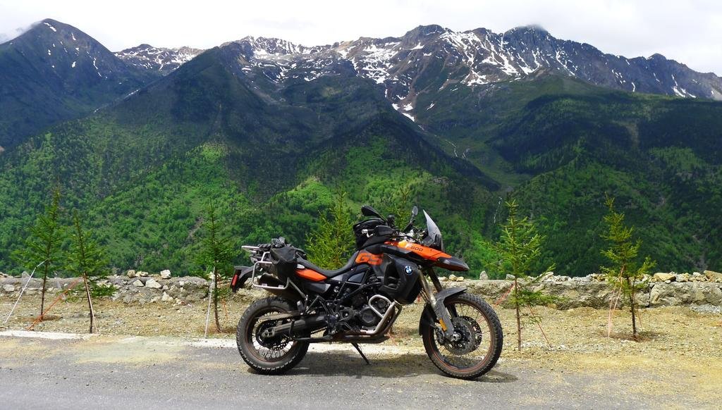
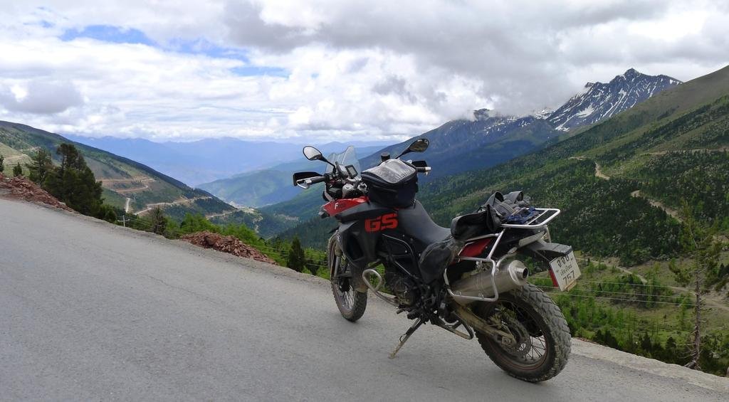
This was the highest on G214 south of Deqin - White Horse Pass , 4292 meters and bloody freezing


2013-06-05_160355.jpg


2013-06-05_160225.jpg


2013-06-05_160253.jpg


A noodle shop (tent) at White Horse Pass

2013-06-05_160334.jpg
 
The slightest exertion here would have you out of breath (4,292 meters)


2013-06-05_160206.jpg


Portraits of the locals

2013-06-05_160110.jpg


Then more stupendous views


2013-06-05_160054.jpg
 
Back
Top Bottom