KTMphil
Senior member
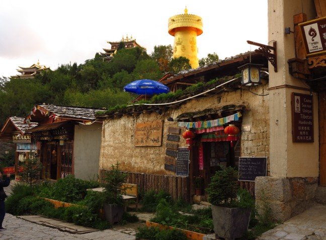
1st Yak


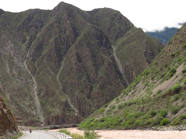
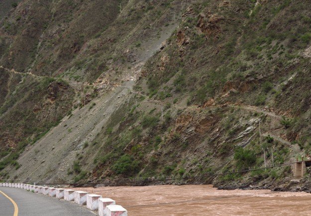
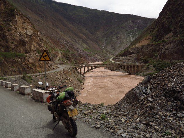
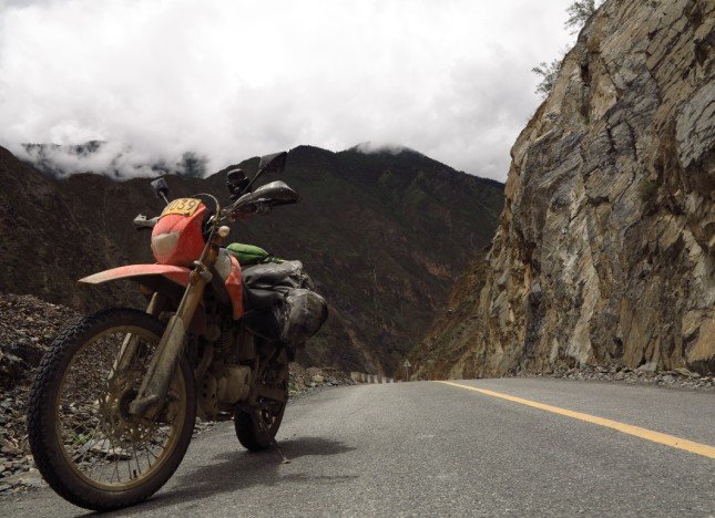
Great photos Phil and it sounds like you are having a very enoyable time out there.
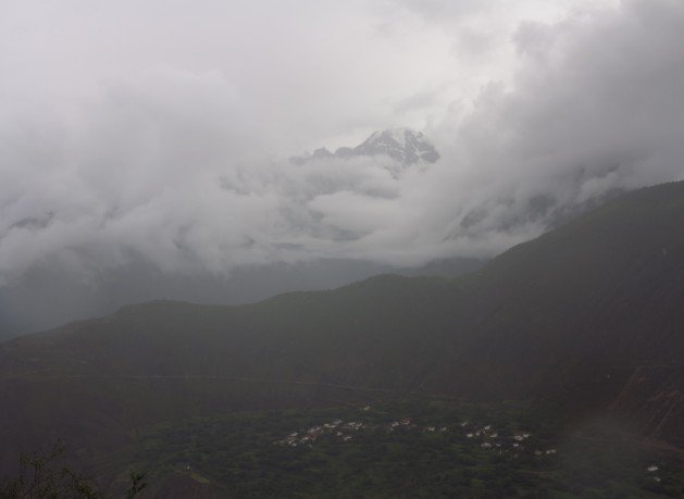
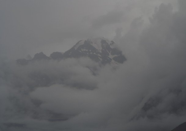
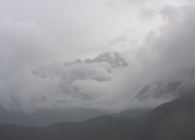
This puts me off though (It's cold here,the coldest i've ever ridden in, so cold that my hands and feet were numb while riding today)


| Thread starter | Similar threads | Forum | Replies | Date |
|---|---|---|---|---|
|
|
Picture Video around the mountain area west of Beijing. | China Ride Reports | 6 | |
|
|
Pictures of North Korea Border from China traveling from Changbai mountain to Dandong | China Ride Reports | 20 | |
| B | China, Qinghai the wild west on KTM 990 Adv | China Ride Reports | 3 |