Doi AngKhang - Pai, the alternative route.

nikhuzlan

Senior Member
Joined
Feb 18, 2011
Bikes
GSA, NC700D, KLX450R
NOTE: This thread is not posted in chronological order, just random jottings of the interesting days of our trip.

We were 11 days into our Laos / Thailand Ride. A group of Malaysians with an American from Torrance in tow, we started from Vientiane, did a small loop of Laos before entering Thailand at Chaloem Prakiat.
We trucked our bikes from Hatyai to Nong Khai, and the plan was to end our ride at Chiangmai, where another lorry will carry our bikes home to the Malaysian border.
The full story will be posted in time.

When I planned the ride, I wanted to look for 'new' routes to popular destinations that were the norm when Malaysian bikers ride North Thailand during the usual winter exodus. Our route choices were however limited by our choice of bikes, big DPs, and the load we carry, all the panniers and the wife as well. Hence Enduro bike routes were a 'no-no'.

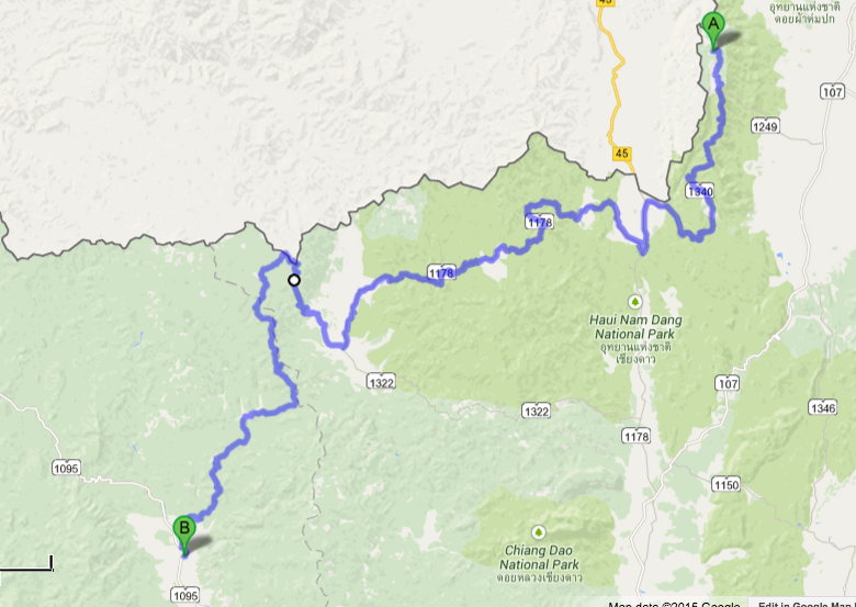
For the Doi AngKhang-Pai leg I wanted to avoid the usual descent to ChangDao - Chiangmai then up R1095 and found a possible route that led to Pai. The Route will take us on the 1340 thru Arunothai, joining the 1155 Northwards towards Ban Pliang Luang, a border town near Myanmar, the another 5km of tarmac before the road turns into what looked like a trail to Pai.

We decided on that one.

When we turned into the little concrete slabbed trail wide enough for just 1 1/2 cars, the GPS showed 68km to Pai.
As we rode further, concrete turned to unpaved surface and the fun starts there.

As it turned out, we made it to Pai after about 3 hours of riding, and only one GSA LC had a tipover, the others were incident free. The "road" was like the R1095, but much much narrower, steeper, with loose stones and gravel, and ruts criss crossing our path. We met one pick-up, 2 small motorcycles, and passed through a Military Checkpoint who looked pretty shocked when we arrived there.

But FUN it was.

Pictures to follow, but heres a simple Video I made of the trip.

 
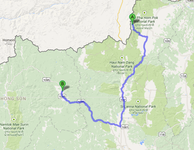
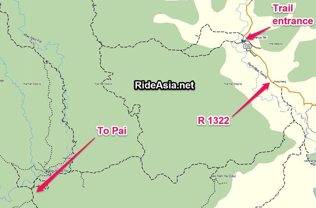
The usual tarmac route and the route we chose.
Screen Shot 2015-02-14 at 9.57.13 PM.pngScreen Shot 2015-02-14 at 10.02.35 PM.png
 
We now declare the route doable for Big DPs carrying a pillion. My GSA was shod with fresh Michelin Anakee 3 tyres, and was slipping and sliding especially climbing the numerous hairpin turns. Sam, wo had the Mitas 07s had an easier time than I did. It was bone dry and dusty so it wasn't too bad. If it was wet, it would have been an entirely different story totally. I would not do it even if I'm paid.

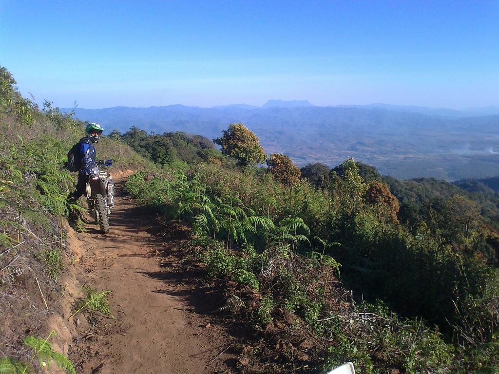
Here's a picture of a steep road that looks fairly easy in the photo, but was hairy descending.


The Military Checkpoint, midway between Waeng and Pai.

 
Onions and Carrot fields near Ban Pliang Luang


Big DP Offroad heaven


More to follow.....
 
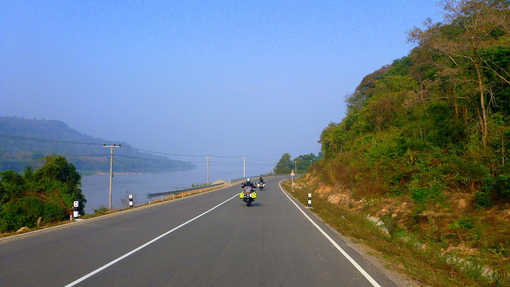
The 1178 was nice


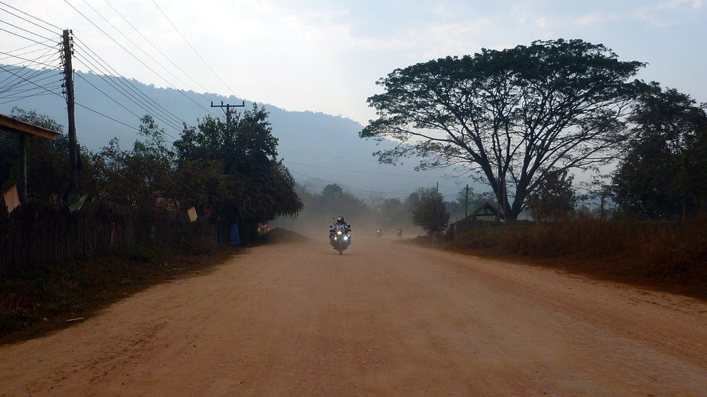
But the surface deteriorated as we rode Northwards


Yes indeed. I was still half n half about using the route due to many unknowns.
And the standard road sign that confirms the gravel path to Pai was kinda odd, very business looking for an 'almost' a road.


We saw this sawn-off tree trunk after 15 minutes riding. Another shall we or shall we not moment.


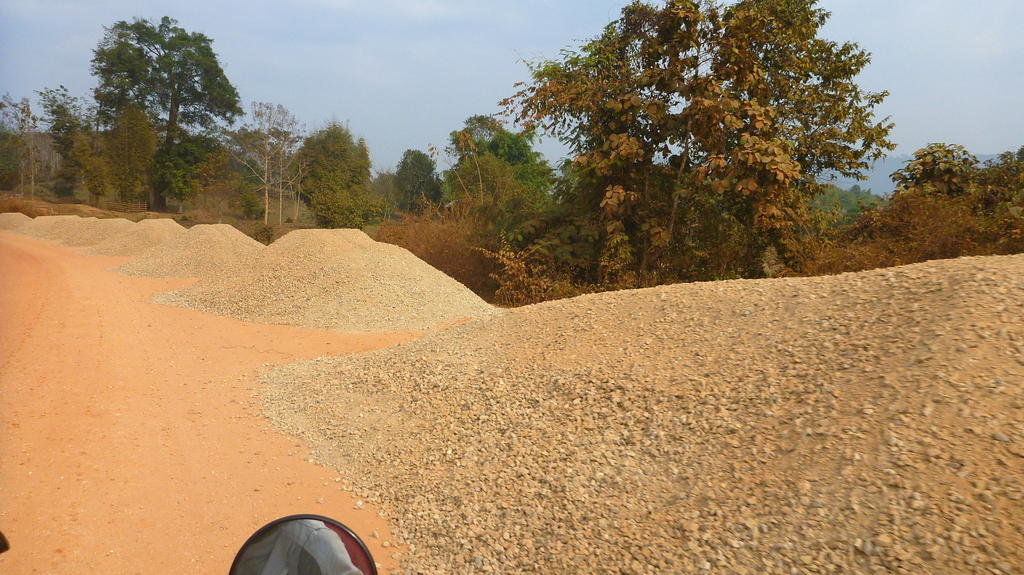
Still on the 1178, this stretch must have seen better times.

 
Great stuff, little surprised from the pictures that the 1178 is not paved since i rode it last year, looks like it's a pretty dusty route now.
 
great route! 'been there a few ,yes dusty these days but mostly paved/unpaved road..with just a few km single track that I wouldn't do with a Harley...(but that locals do on scooters).highly suggested
:giving:
 
Does this get too narrow to bash a truck through there..

Not riding anywhere is doing my head in, would be good to go exploring some trials but hard to know which ones are not going to end in trouble.. Finer line between dirt rd and stuck with a 2WD truck.
 
problems with a truck will be here ,

https://www.google.co.th/maps/dir/1...126128,98.4471139,12z/data=!4m2!4m1!3e0?hl=en

when u hit a side single track from the unpaved road to Pai/Vieng Nua ,to Viang Haeng .but u could start in Viang h
Haeng to doi AngKhang ,stunning scenery ,and traffic-less road mate


Does this get too narrow to bash a truck through there..

Not riding anywhere is doing my head in, would be good to go exploring some trials but hard to know which ones are not going to end in trouble.. Finer line between dirt rd and stuck with a 2WD truck.
 
OK thanks for the answer.. Always hard to work out from maps the severity of unsealed roads..

Same as Staying in Chaing Dao, it looks like it links up with the Pai Rd.. Locals in Chiang Dao said yes it can, no it cant, can only in a 4x4 and no idea...
 
OK thanks for the answer.. Always hard to work out from maps the severity of unsealed roads..

Same as Staying in Chaing Dao, it looks like it links up with the Pai Rd.. Locals in Chiang Dao said yes it can, no it cant, can only in a 4x4 and no idea...

Take your yz and do the trail from Pai to Viang Haeng all along the border. Some tight single tracks and breathtaking views with most of the ride in Shan State territory!

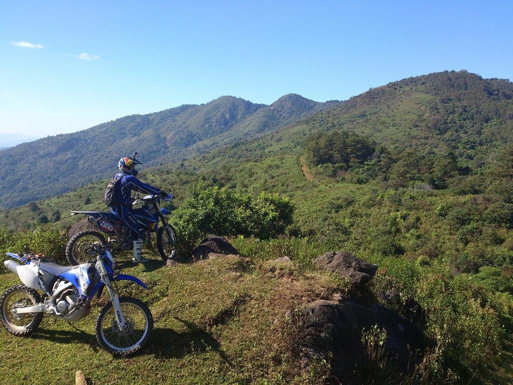
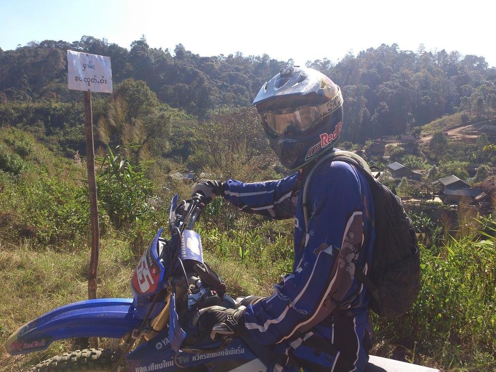
That's the kind of scenery you can expect:
DSC_0164.jpgDSC_0211.jpgPhoto0287.jpg
 
it probably does link at some other spot for a 4x4,will need to try to find someday.except those 10km single track I posted earlier it is all feasible and easy with a 4x4.unpaved road Pai to Viang Haeng turn.then 1322&1178 sealed all the way to Doi ang Khang

OK thanks for the answer.. Always hard to work out from maps the severity of unsealed roads..

Same as Staying in Chaing Dao, it looks like it links up with the Pai Rd.. Locals in Chiang Dao said yes it can, no it cant, can only in a 4x4 and no idea...
 
@Max.. Would love to, but it will be a while before I can trust dirt riding I fear..

@Forest.. Thanks.. Shame as except for those few kms a Samoeng, Pai, Wiang Hang, Doi Ang Khang would make a great loop for views..
 
it probably does link at some other spot for a 4x4,will need to try to find someday.except those 10km single track I posted earlier it is all feasible and easy with a 4x4.unpaved road Pai to Viang Haeng turn.then 1322&1178 sealed all the way to Doi ang Khang

Top right is the Shan border tracks max did. They are all rout-able using the North Thailand GPS Map (new version is amazing!)


shan border max by Triangle Golden 007, on Flickr
 
yes I bought your GPS map,a year old or so..what's amazing about the new ones?
 
Does this get too narrow to bash a truck through there..

Not riding anywhere is doing my head in, would be good to go exploring some trials but hard to know which ones are not going to end in trouble.. Finer line between dirt rd and stuck with a 2WD truck.

It gets quite narrow but no problem for a 4wd. In fact on the day we rode the route, 2wd will do as it was bone dry. Problem is passing opposing traffic as the road can be narrow for quite a distance. Even passing a 4wd with a bike will be a problem, meaning someone needs to back up for a distance to find passing space. However, we only encountered only 1 4wd in that 60 odd kms.


Some parts are really wide for a dirt road


Interesting ,thanks Phil :giving:

Lots of new data that auto routes Serg. A plethora of trails in the Omkoi region that are some of the best riding in Thailand.
 
This must be the route possible by car then.the once i knew and took is definetly single track impassable for 4x4 .a local's shortcut perhaps?.i'll check it out

It gets quite narrow but no problem for a 4wd. In fact on the day we rode the route, 2wd will do as it was bone dry. Problem is passing opposing traffic as the road can be narrow for quite a distance. Even passing a 4wd with a bike will be a problem, meaning someone needs to back up for a distance to find passing space. However, we only encountered only 1 4wd in that 60 odd kms.


Some parts are really wide for a dirt road


Entry point to the trail to Pai from the main road R1322.
N19.580696, E98.618964


Entry into tarmac around here.


And 2km later

 
Good map Phil. More coordinates.

Trail Entry Point R1322 N19.580696, E98.618964
Trail Exit Point into Pai. N19.400707, E98.44932

Military Checkpoint. N19.581095, E98.540721
 
So There is a dirt road route that doesnt go to single track there ??

Need to dig out maps and see what I can understand..
 
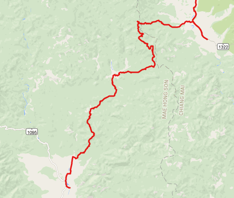
Yes. This was our actual track. Very steep switchbacks, pebbles, stones and ruts, but all the way passable with a 4 wheeler.

Screen Shot 2015-02-20 at 7.47.43 PM.png
 
Yes. This was our actual track. Very steep switchbacks, pebbles, stones and ruts, but all the way passable with a 4 wheeler.

View attachment 36282

So i took a buffalo track/shortcut or something...I' ll check it out.LivinLOS lemme know if ur around ;) I live in pai
 
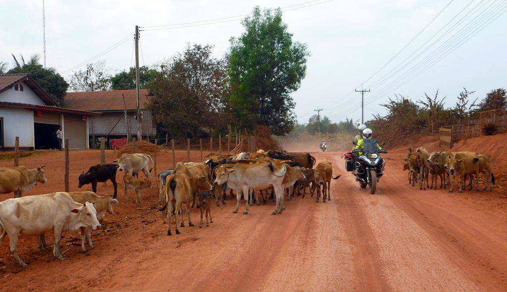
On the first day of our ride we left Vientiane for VangVieng. I have ridde Route 13 from Vientiane before and it was only enjoyable the first time, merely because I have never ridden the route before. The traffic was heavy by Lao standards, with hardly any scenery worth mentioning.
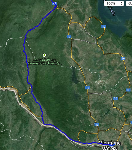
I spotted an alternative route that leaves Vientiane and followed the Mekong ft 60kms until a village called Pakton. From Pakton the road turns inland towards Senxoum, joining Route 13 neat the Hineheup Bridge.
We took a gamble and followed that route. The road from Vientiane was R11, a road that was smooth with no potholes at all. Traffic was light.
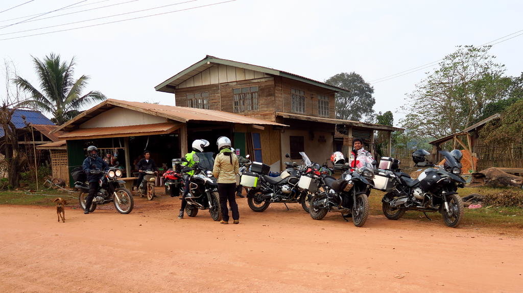
At Pakton we hit a junction, and the road became unpaved. Great quality albeit dusty, it was an easy off tarmac ride on the big GSAs. We passed many villages as we made our way to Senxoum. We stopped at the halfway point at Nahat for coffee. It seems that this road will eventually be paved as we saw work being done about 20km from the Route 13 junction. It was a more interesting ride compared to the Route 13.
However, it would be pretty slippery if rain comes, and fun can quickly turn to misery on big bikes with road tyres.

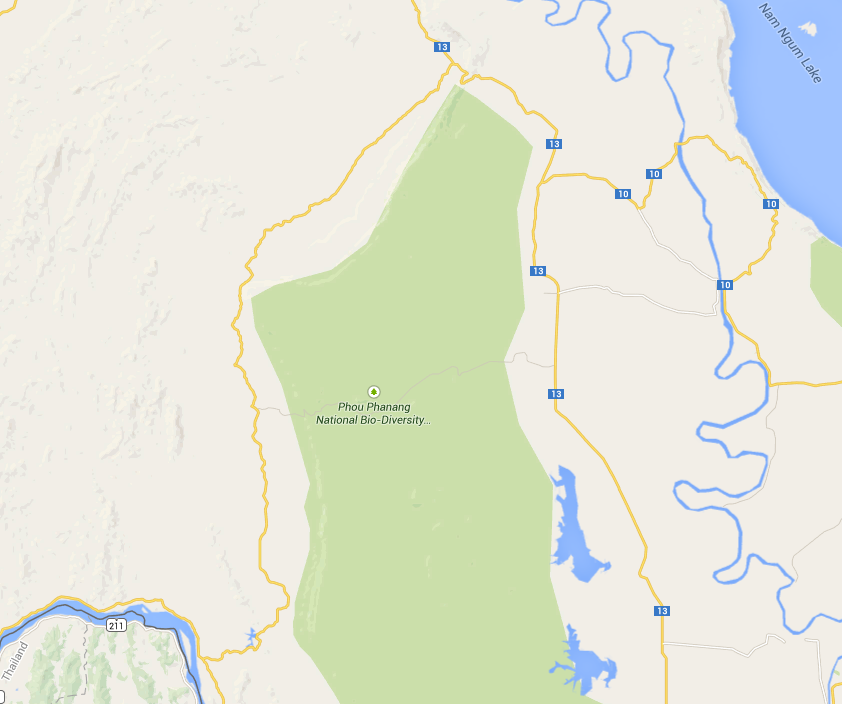
Screen Shot 2015-02-21 at 1.25.15 PM.png20150121 011.jpg20150121 016.jpg20150121 025.jpg20150121 036.jpg20150121 043.jpg20150121 045.jpg
 
Look's like you travelled on route 0120, good to know it's still not paved :giving: thanks for the update.


BTW copied your day 1 to the Laos trip report section
 
So There is a dirt road route that doesnt go to single track there ??

Need to dig out maps and see what I can understand..
I suspect that you can get almost all the way to the helicopter on road now
Just head north at the junction 8/10km west of 1322
 
Given I can only limp,,, and given its a 2wd truck.. I am keen to sort out the ambitious rotes from the firetrail ones which are simple.. Before heading out..

Been stuck home for a month and a half now.. Going spare.
 
Back
Top Bottom