bsacbob
Administrator (Retired)
- Joined
- Jul 1, 2012
- Location
- Chiang Rai
- Bikes
- Honda CRM-AR 250, Honda CRF 250-L, Suzuki V Strom XT 650 Honda XR250 Baja BMW F650GS
So after a series of mechanical and physical issues after stuffing up my shoulder, now was time to get back out on the bike and revisit some old favourite routes that social media had rekindled my interest. The plan was to get up to Theod Thai on as much dirt as i could find and poke around at the Myanmar border without getting shot.
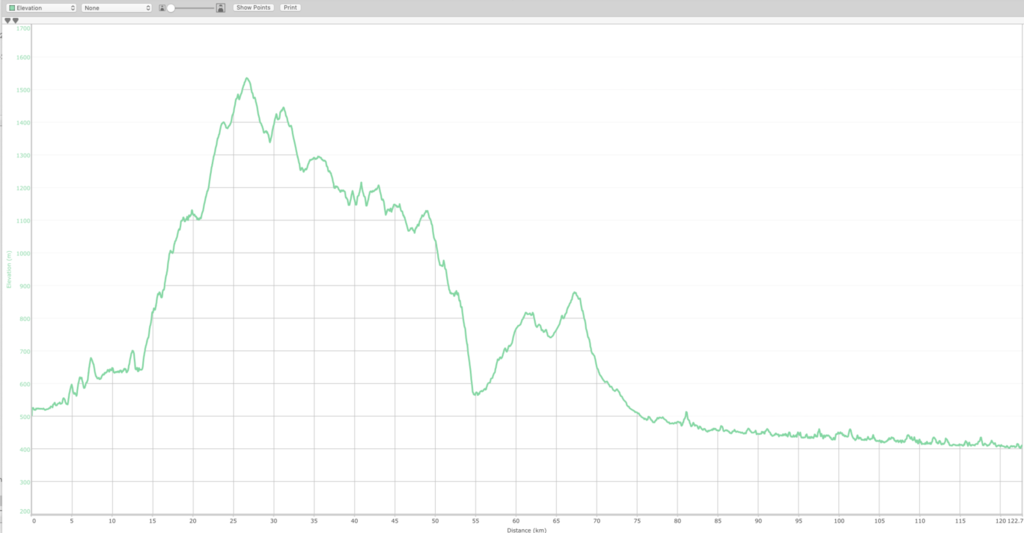
Total distance amazing only 158 km
GPX file at the foot of the post.
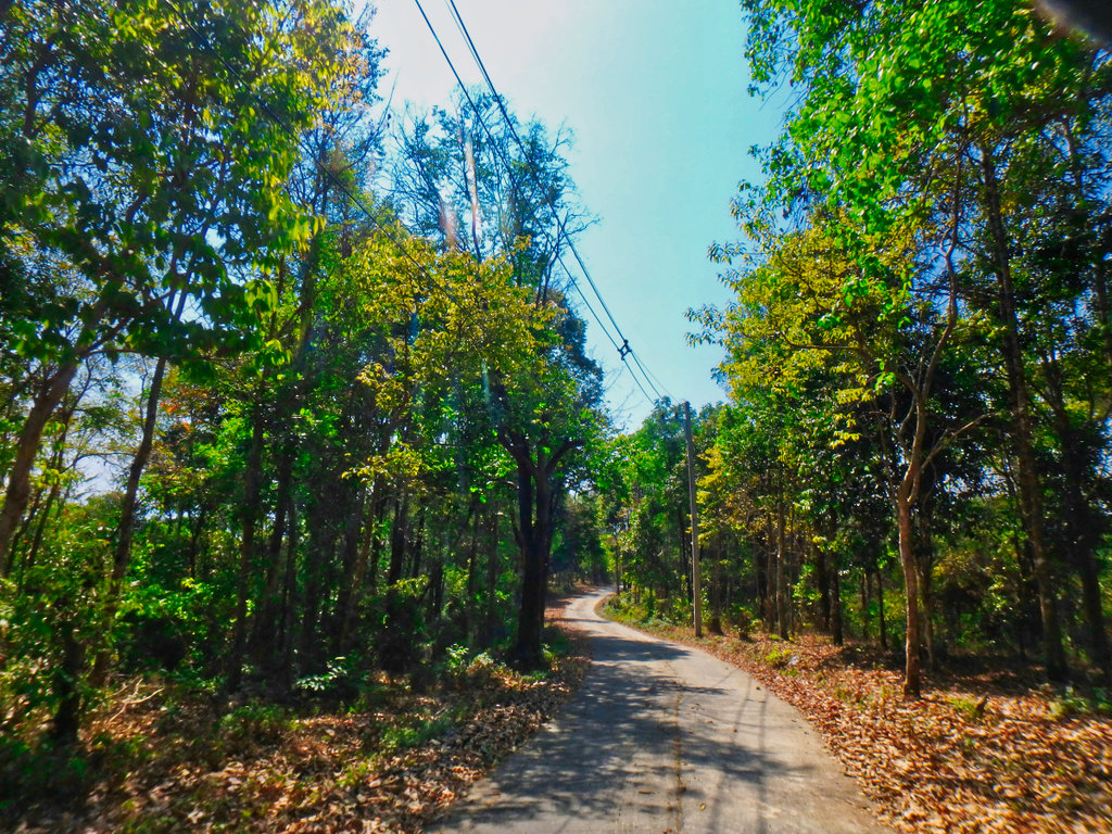
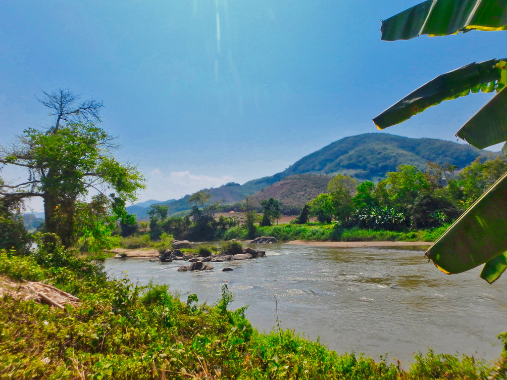
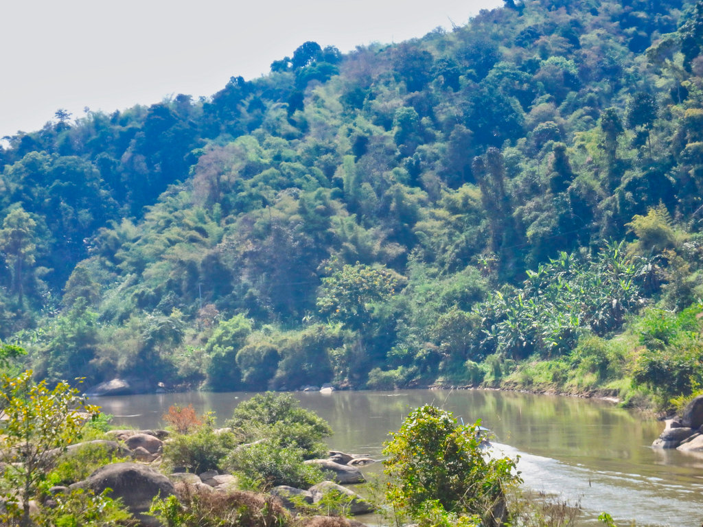
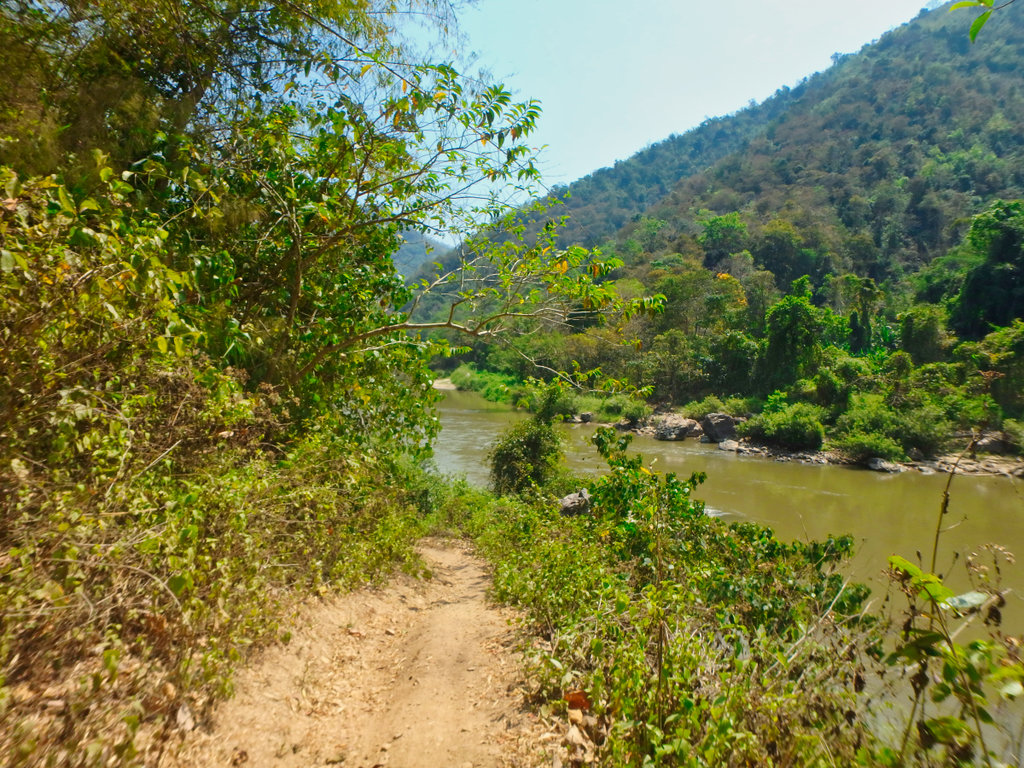
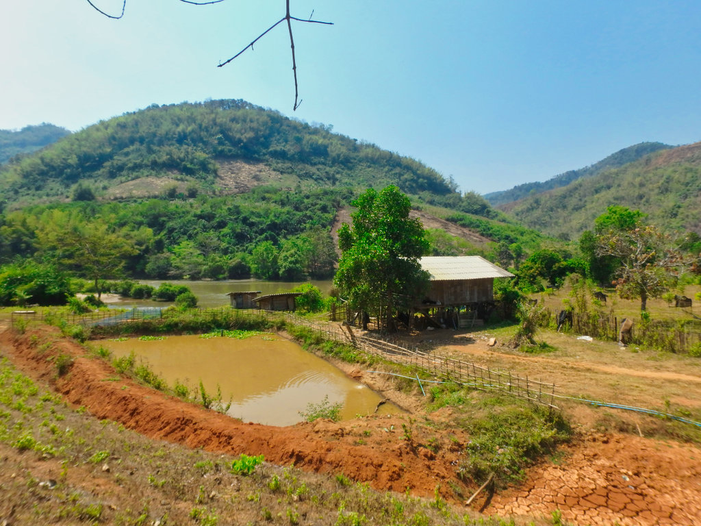
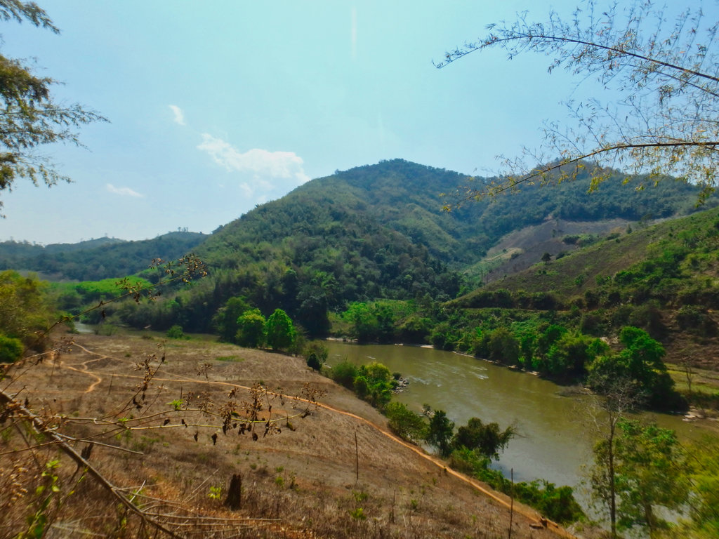
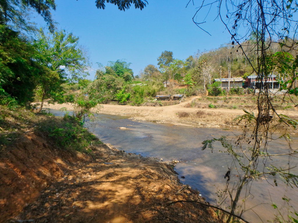
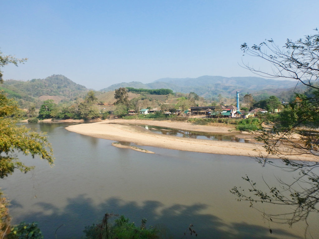
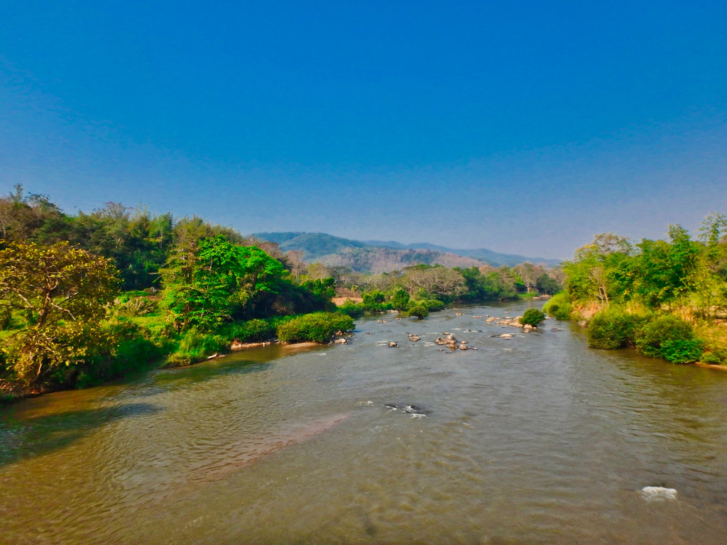
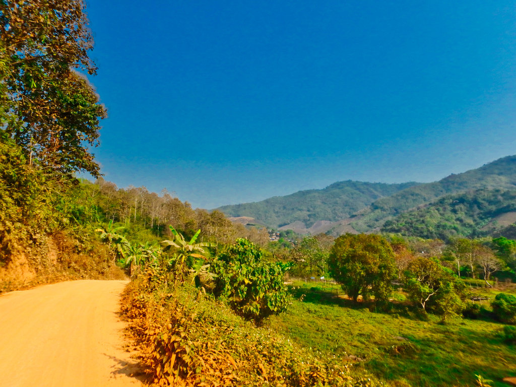
Taking the South side of the Kok river out of town the paving continues to eat up the dirt trails, water levels like most places very low right now.
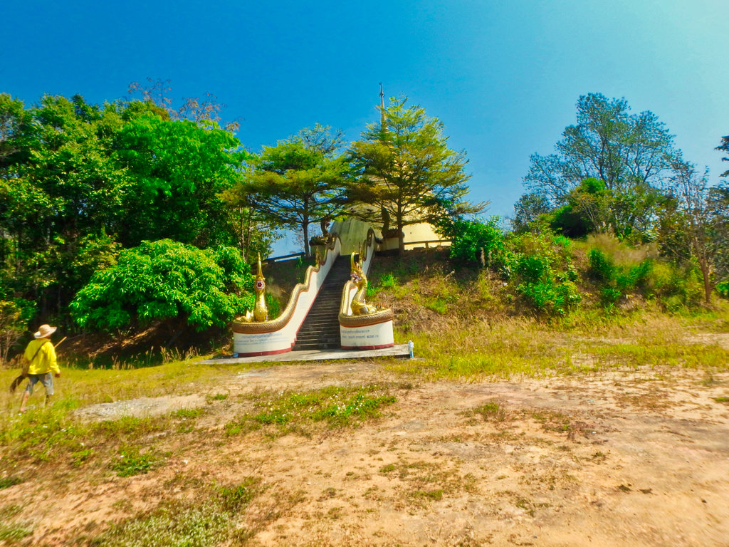
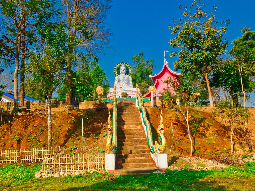
One of the many white Buddha statues in the area.
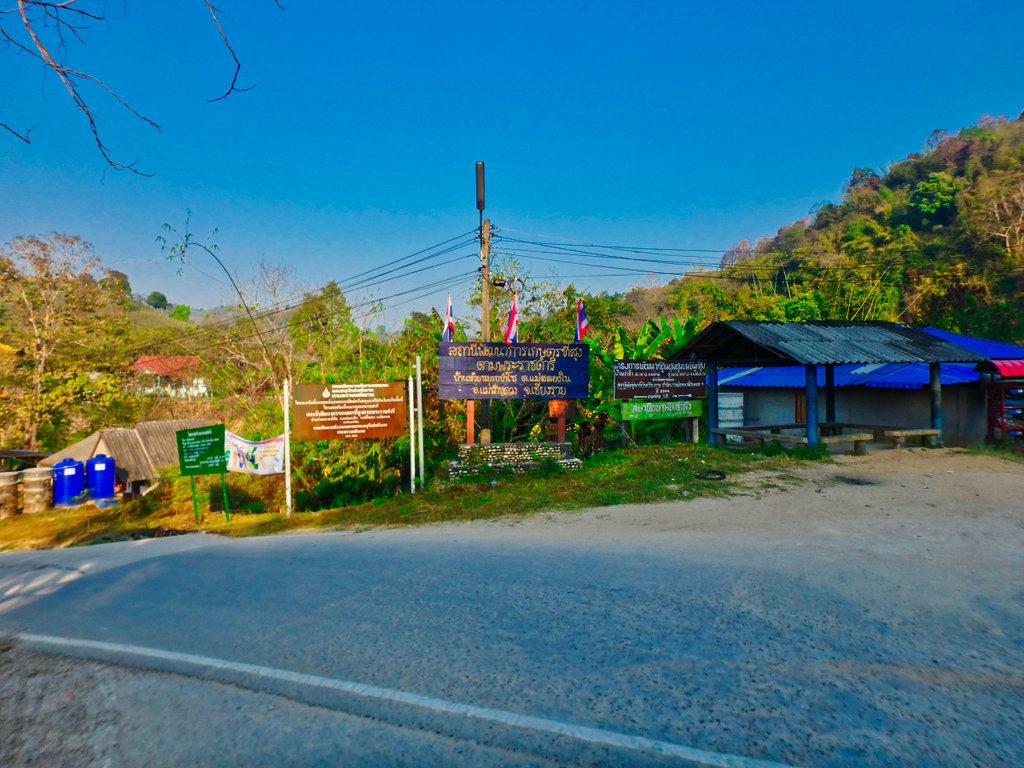
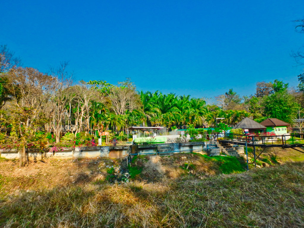
"Pha Soet Hot Spring"
N19.95746° E99.69095°
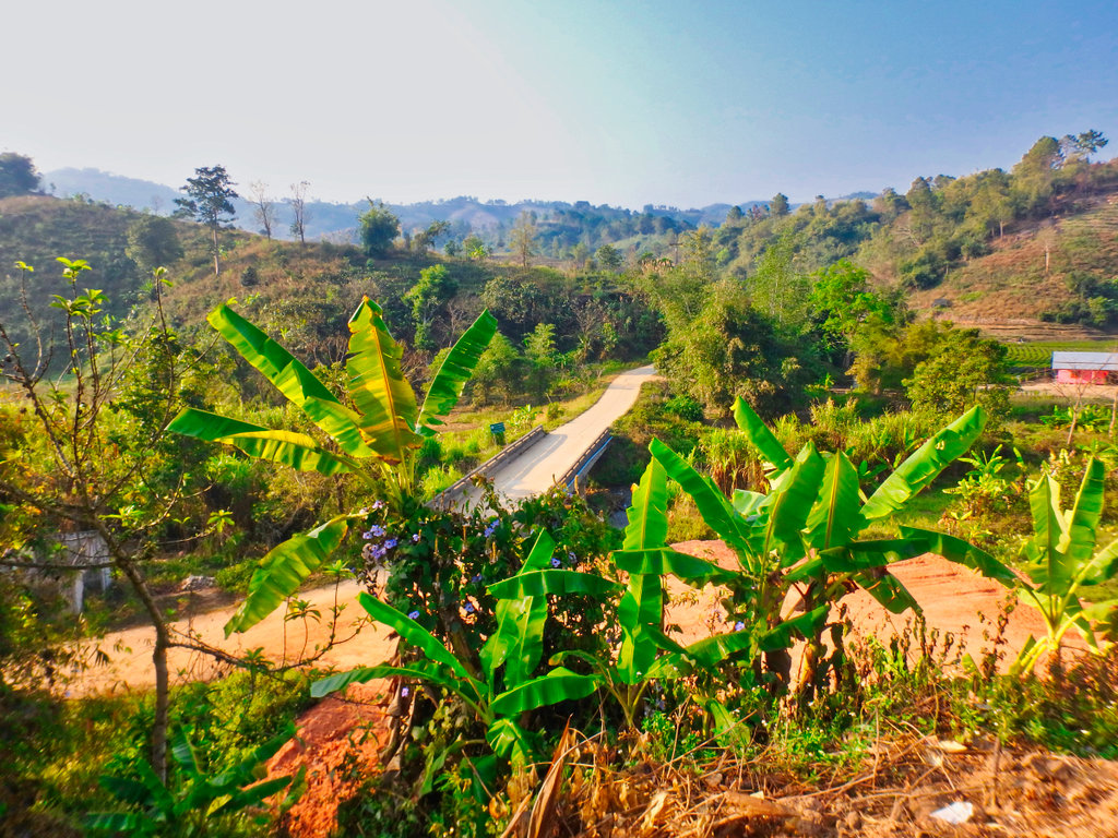
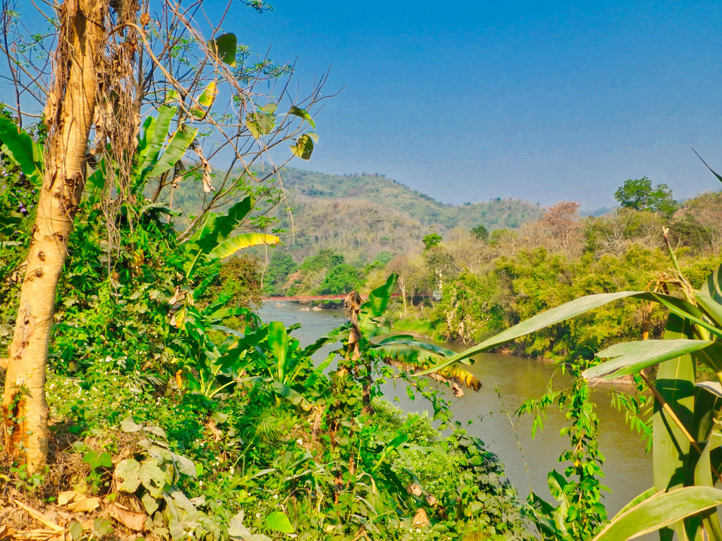
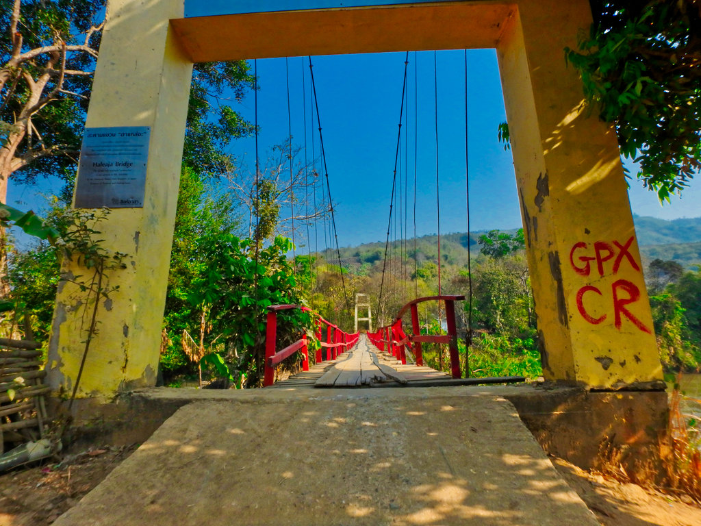
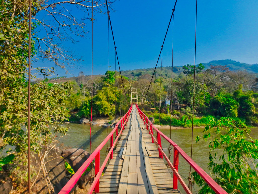
My crossing point ahead, the refurbished swing bridge.
Only been a couple of years since Singha Corp, almost rebuilt the whole thing, it's looking a wee bit shaky again.
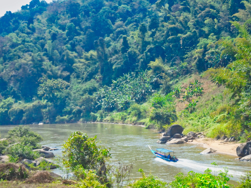
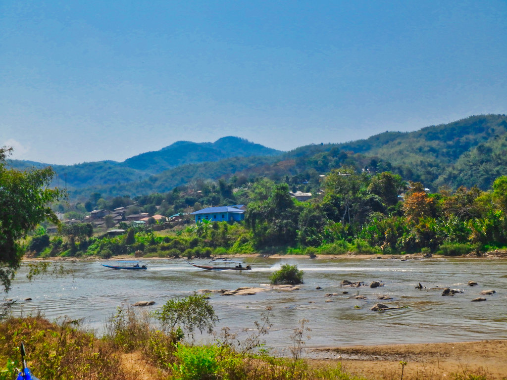
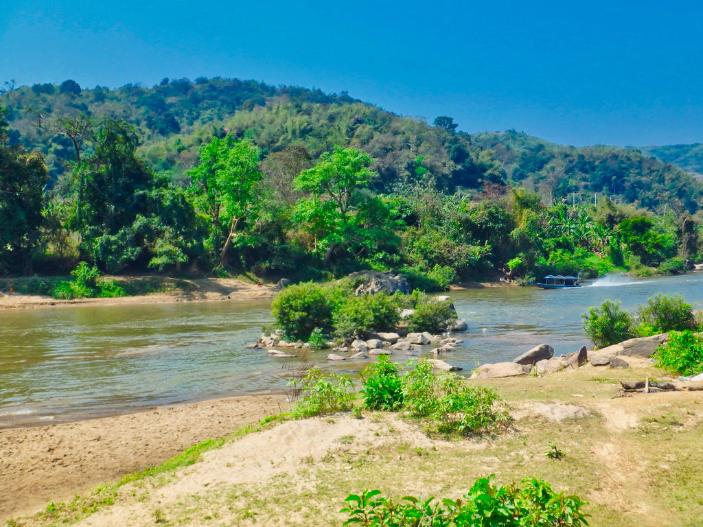
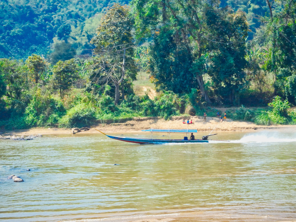
One of the many long tail shuttle boats between Tha Ton and Chaing Rai.
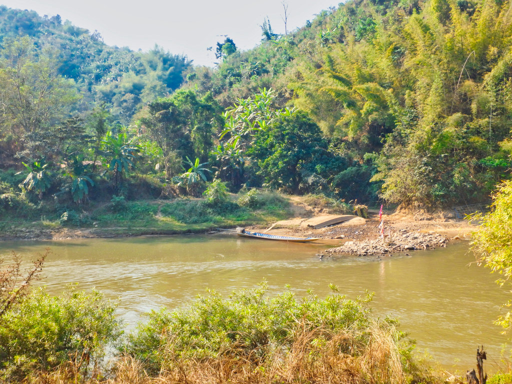
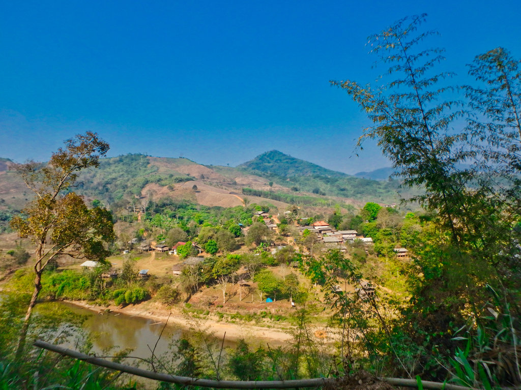
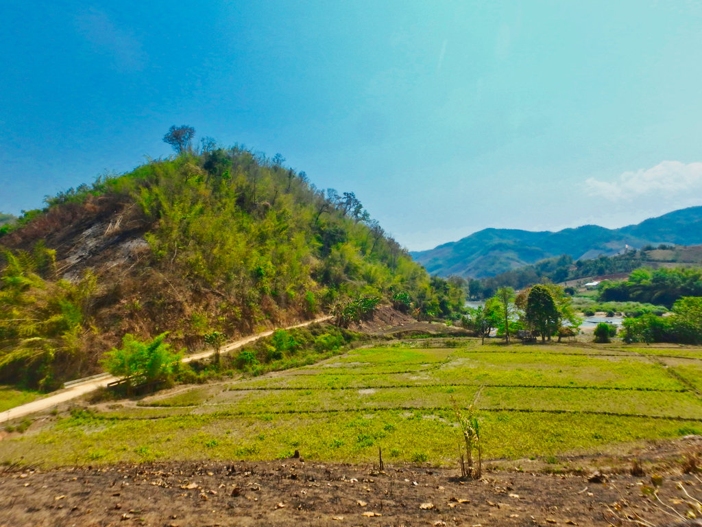
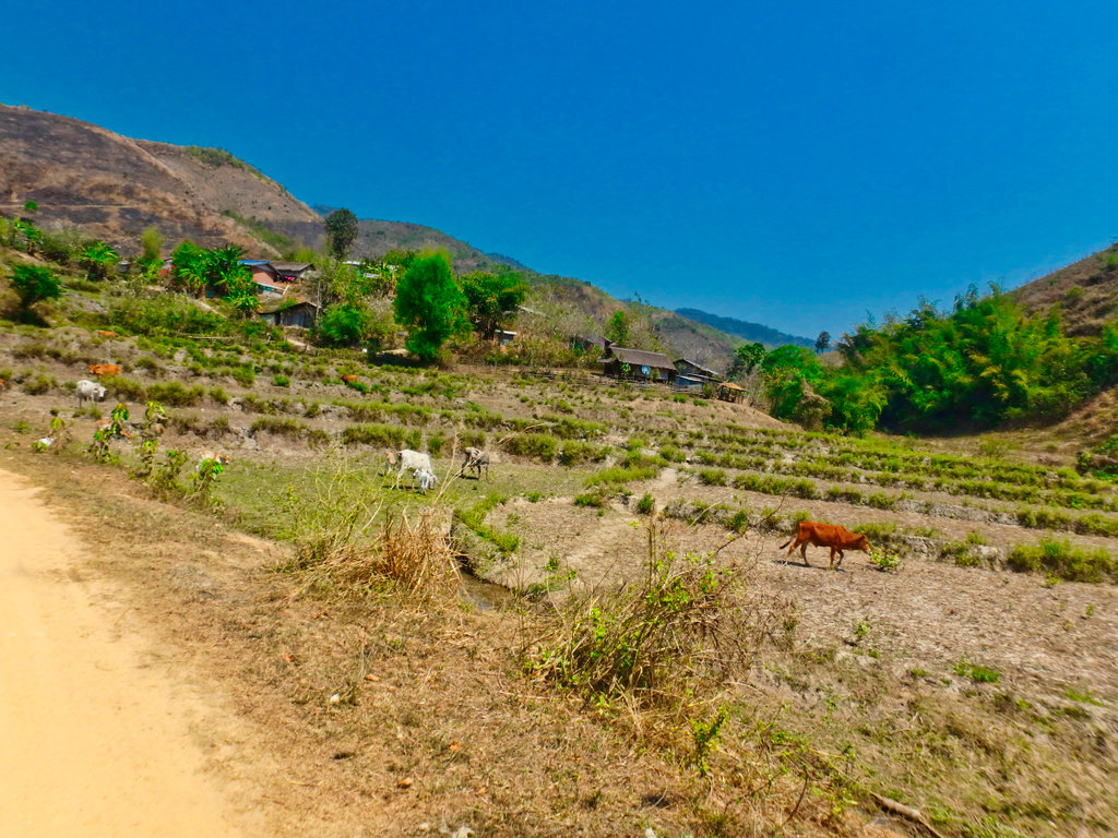
Not too much burning to be seen in the area but you sure can see the smoke, somebody didn't get the memo.
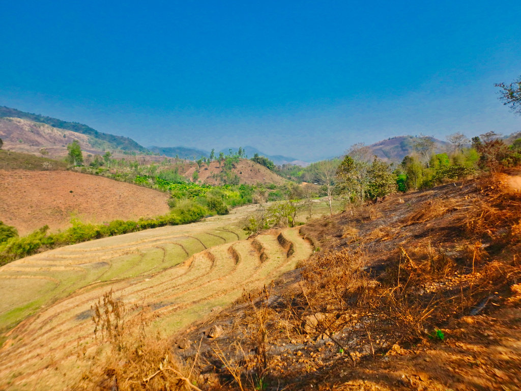
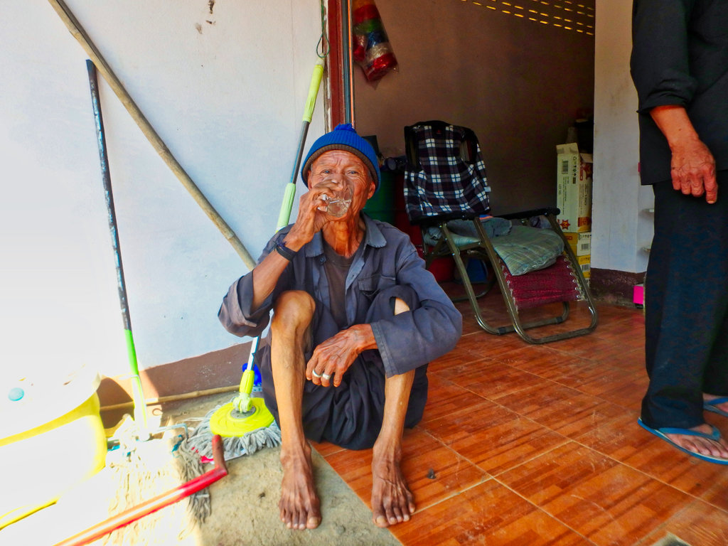
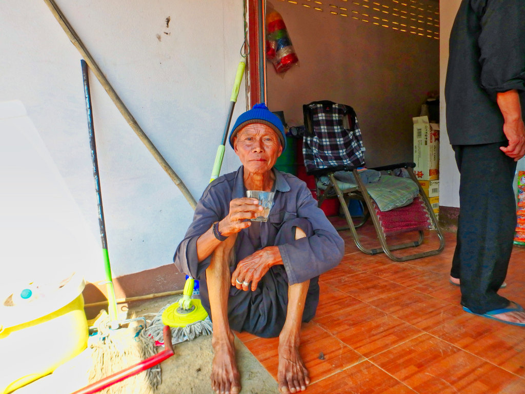
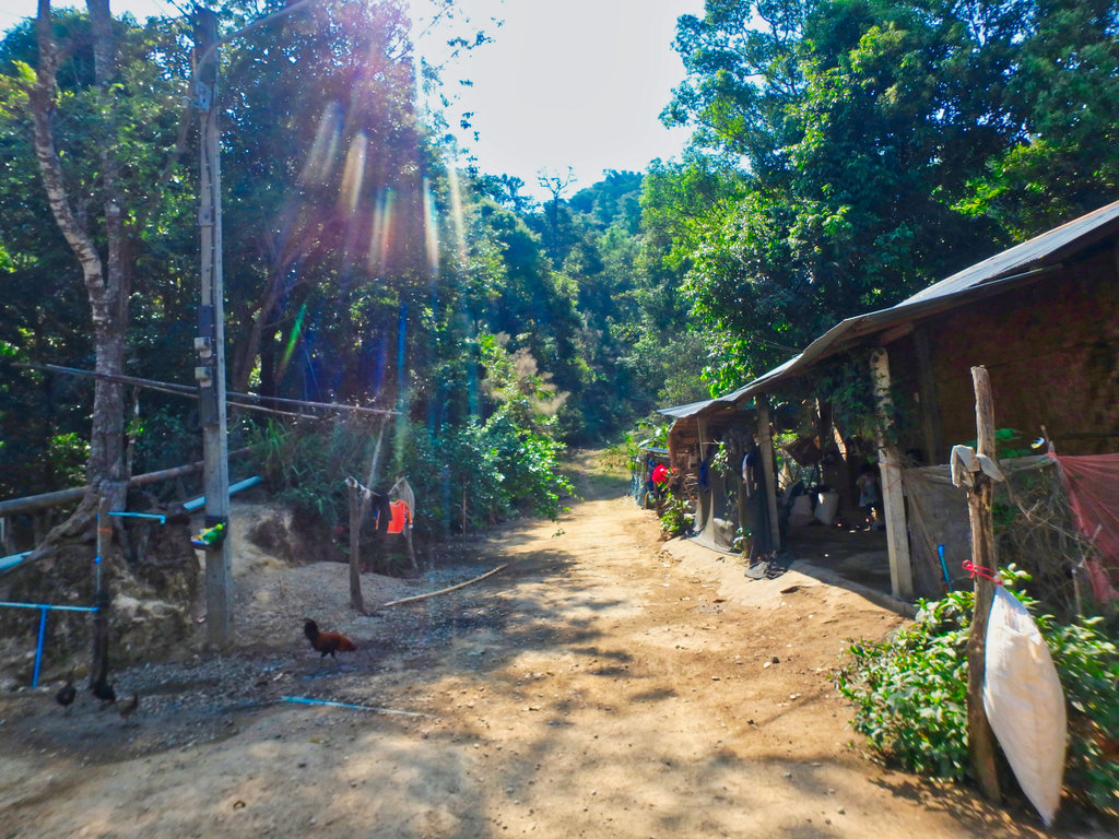
Cute Lahu family.
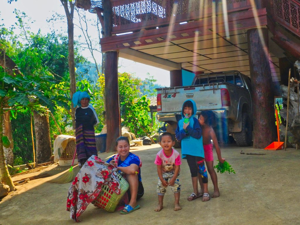
Lucky stop taking this shot as i looked around my number plate lay on the floor, saved me a lot of hassle getting a new plate.
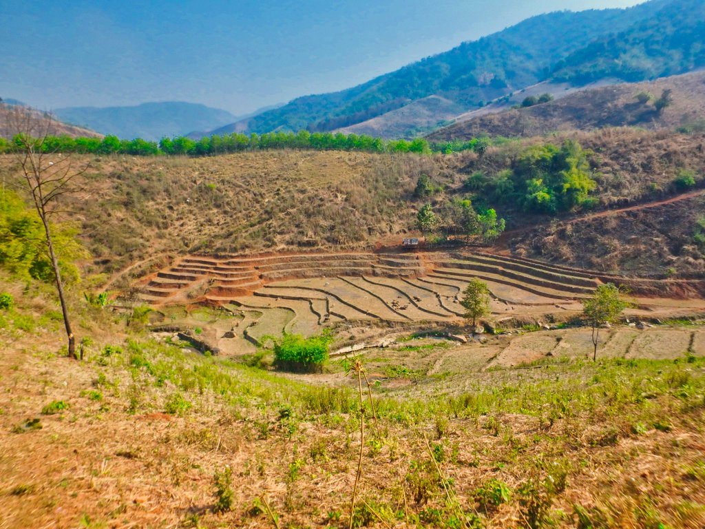
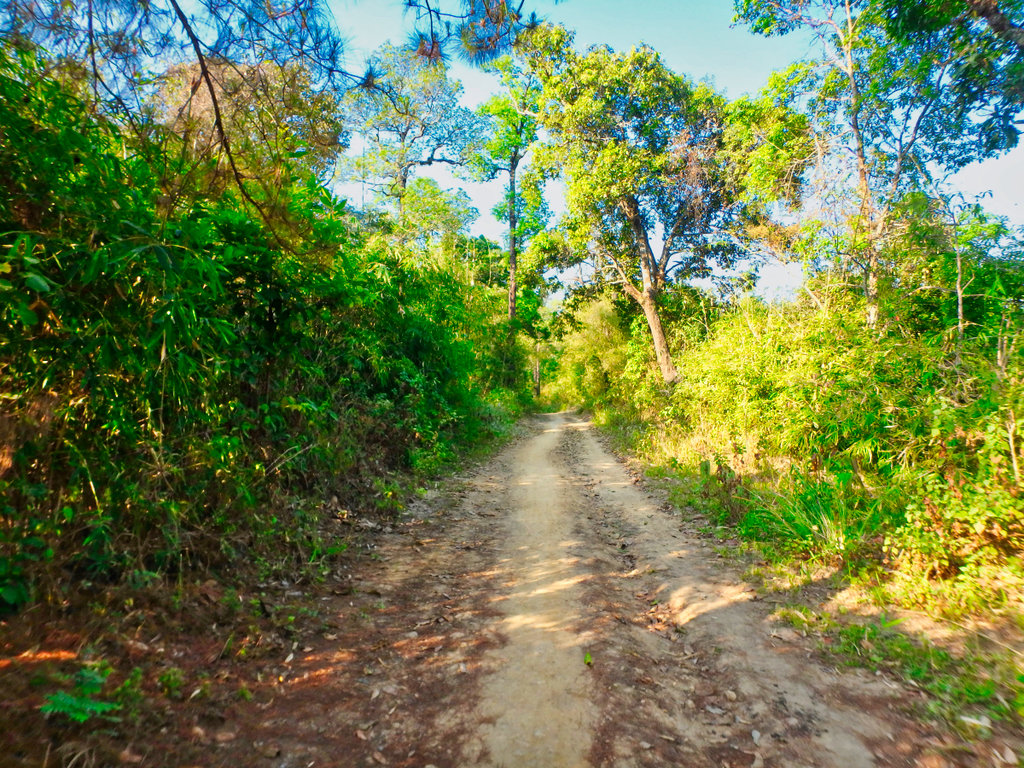
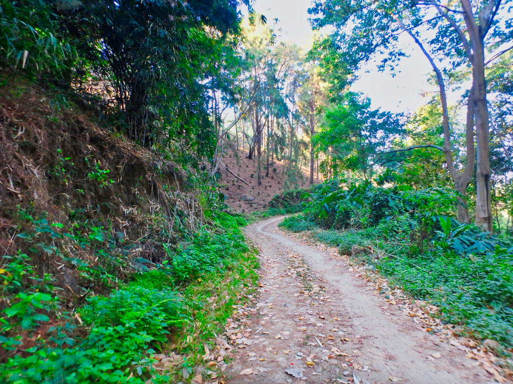
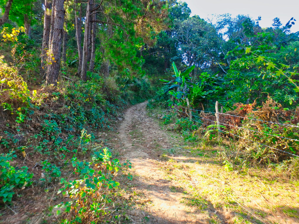
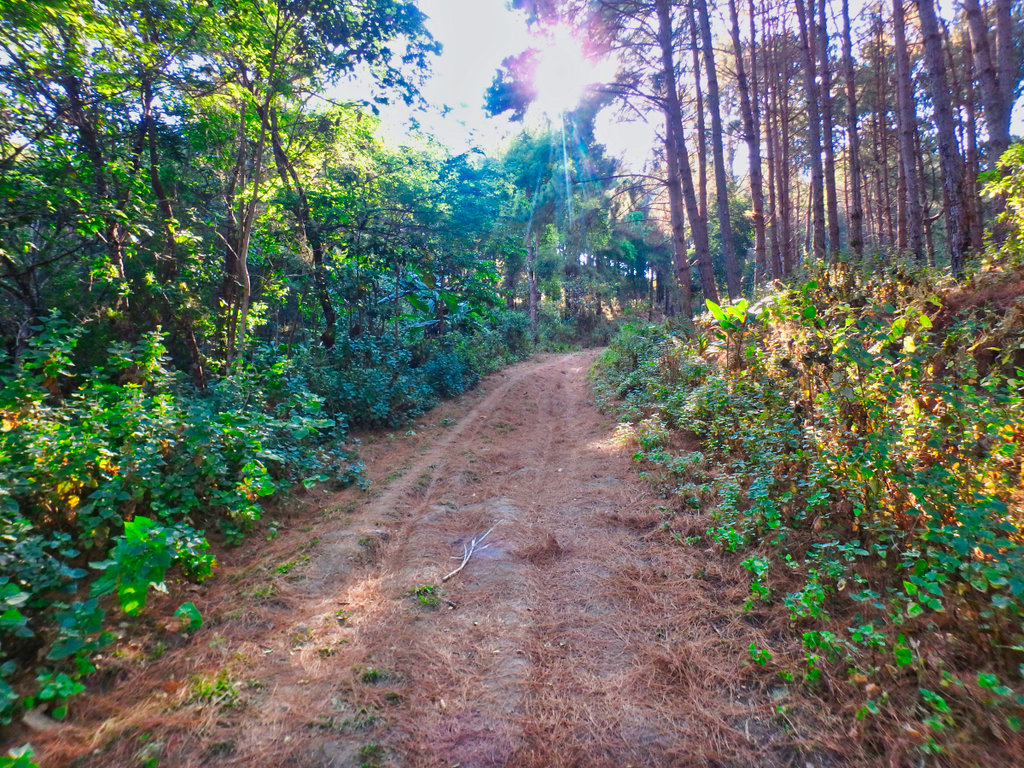
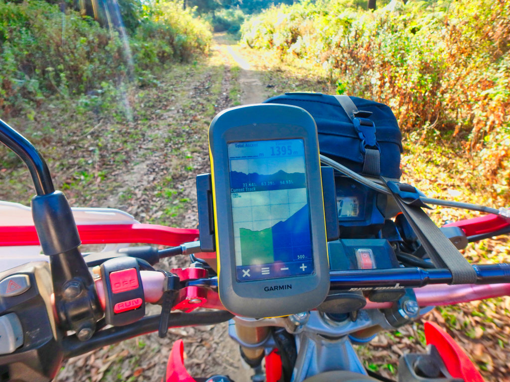
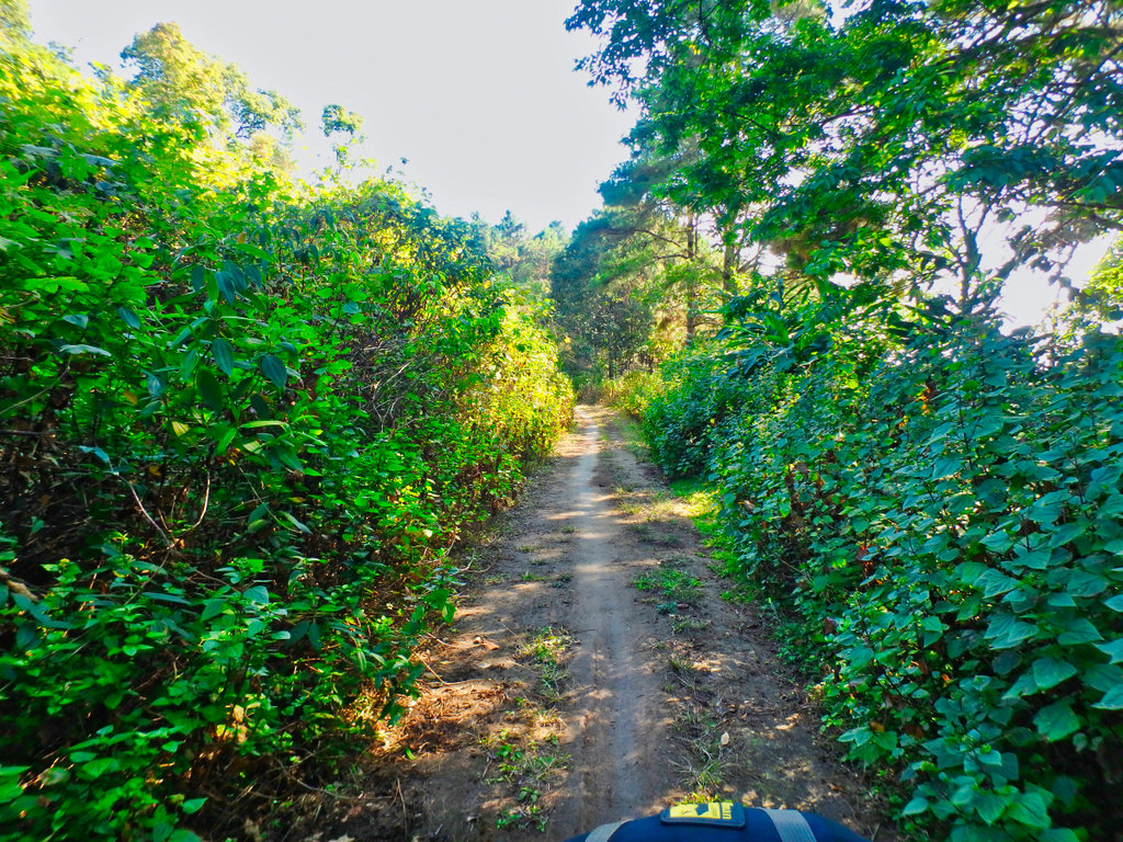
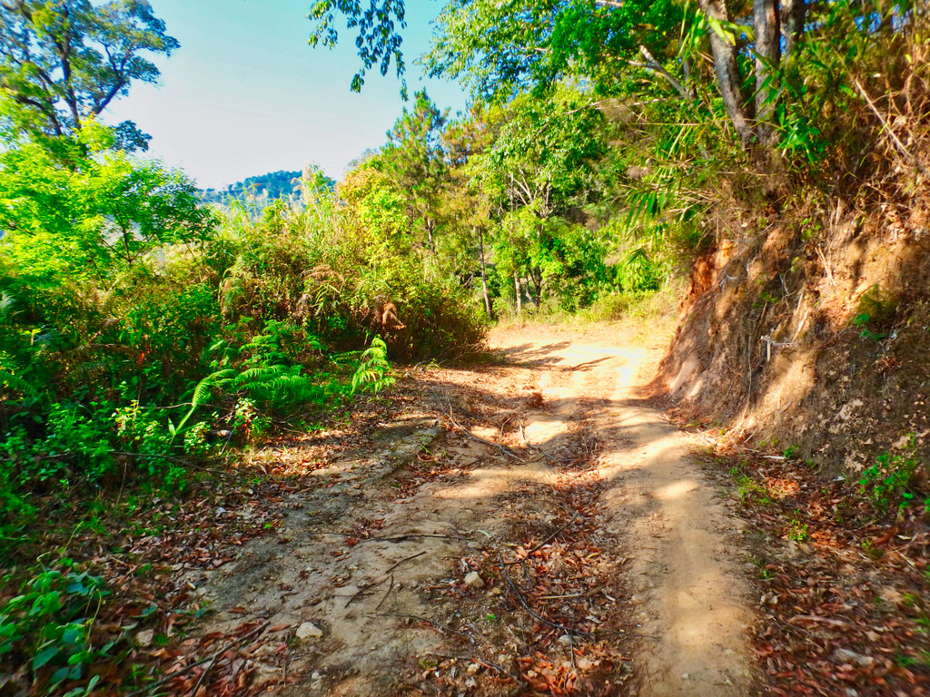
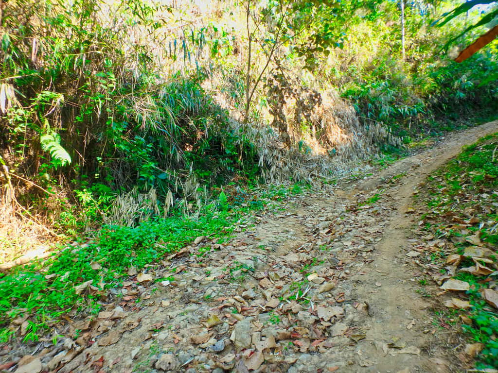
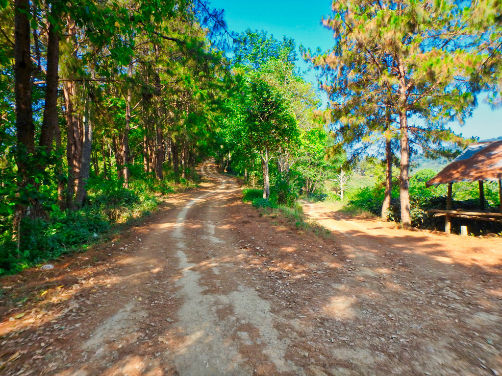
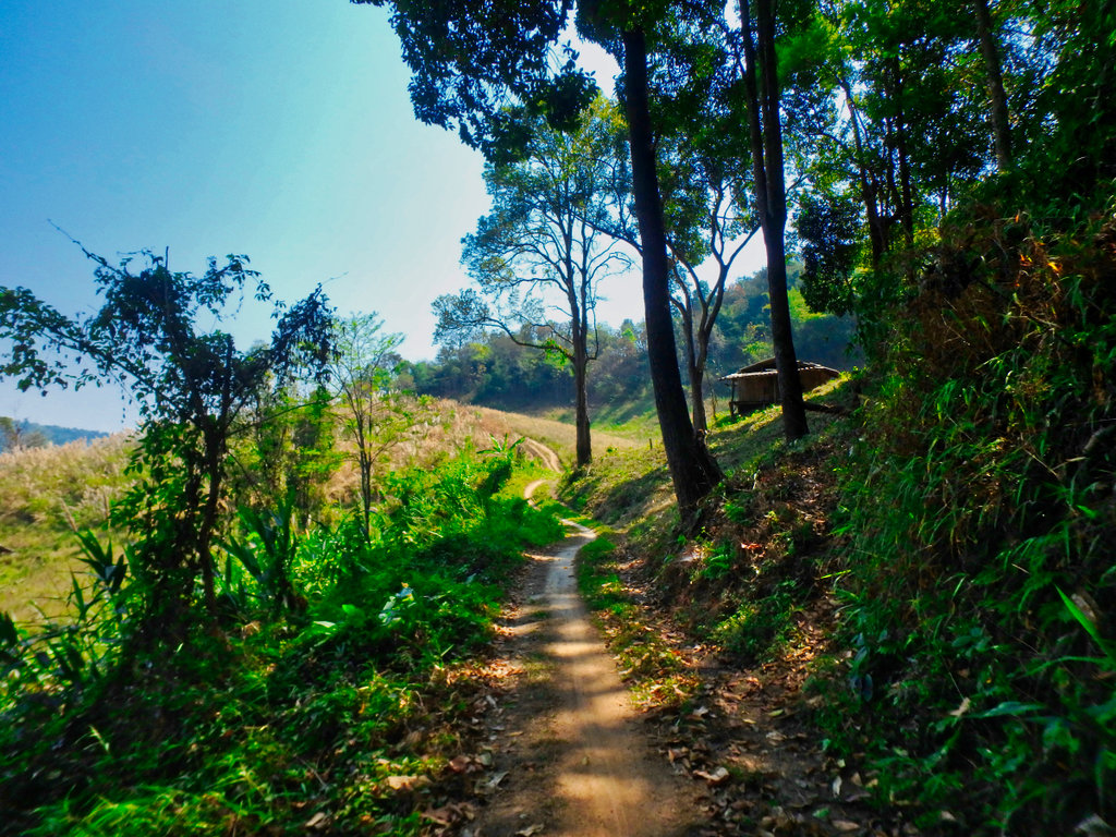
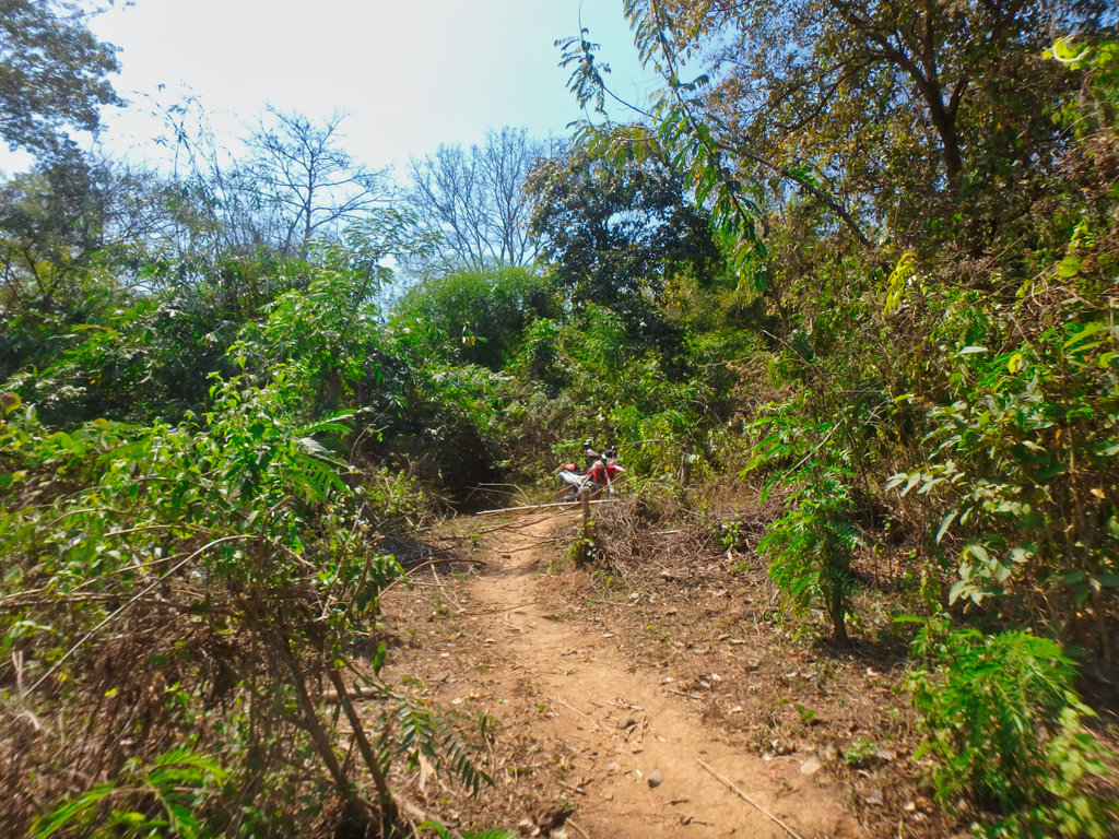
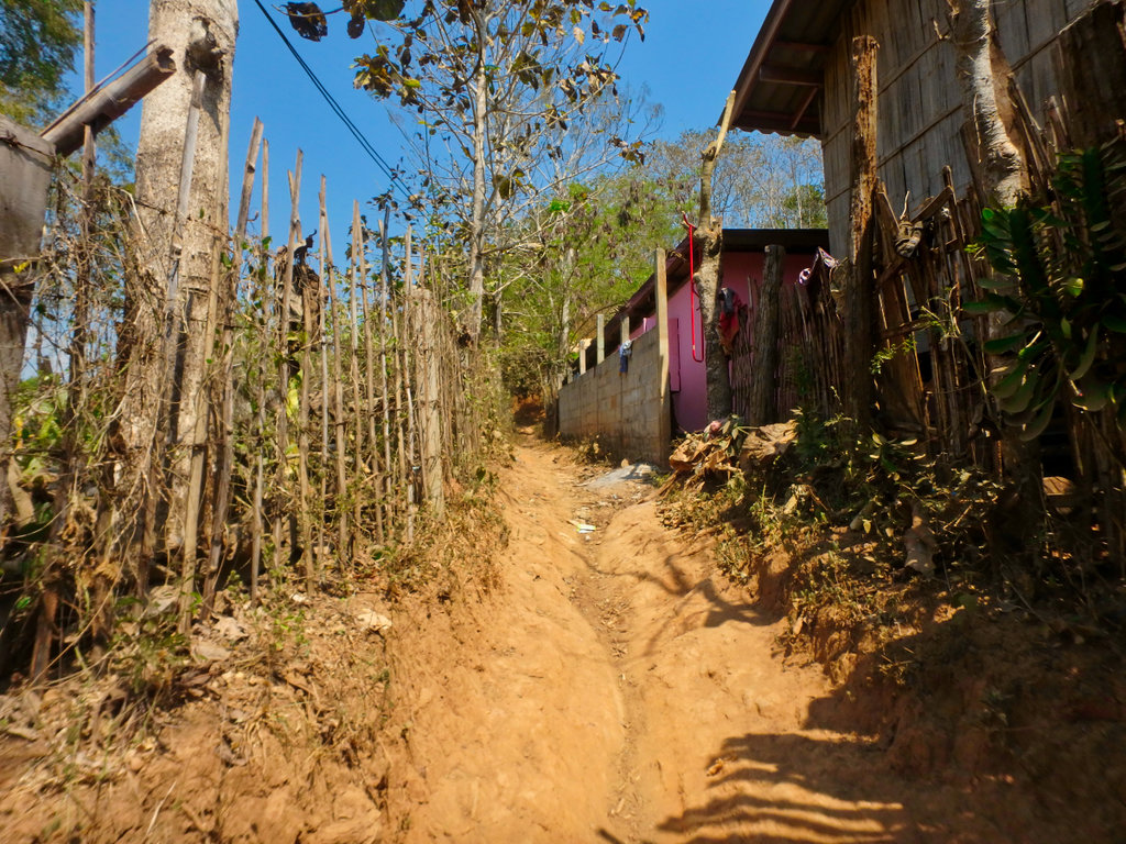
The start of the first climb and bulldust already getting thick.
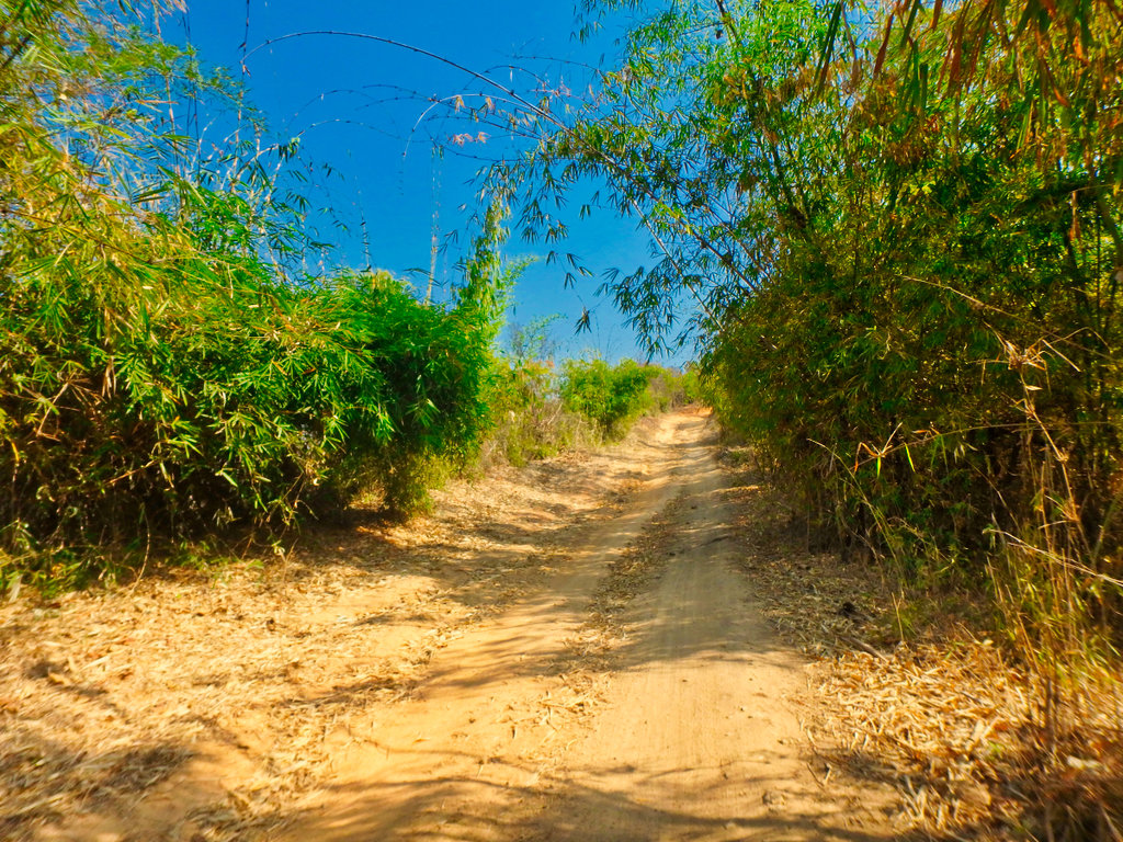
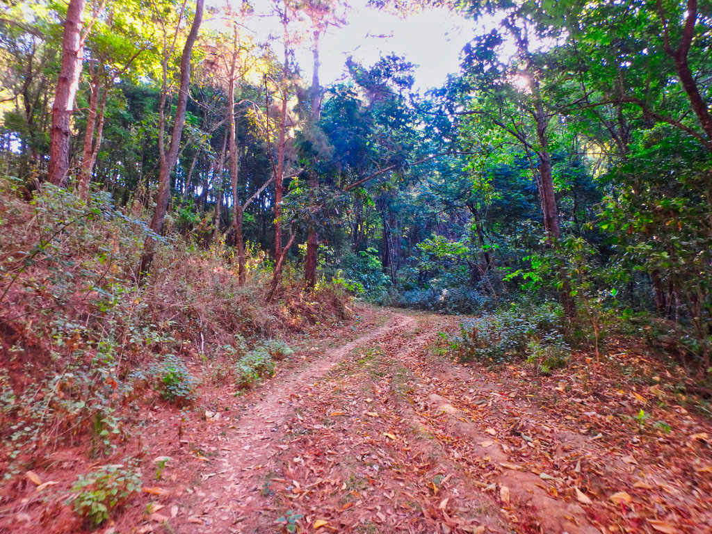
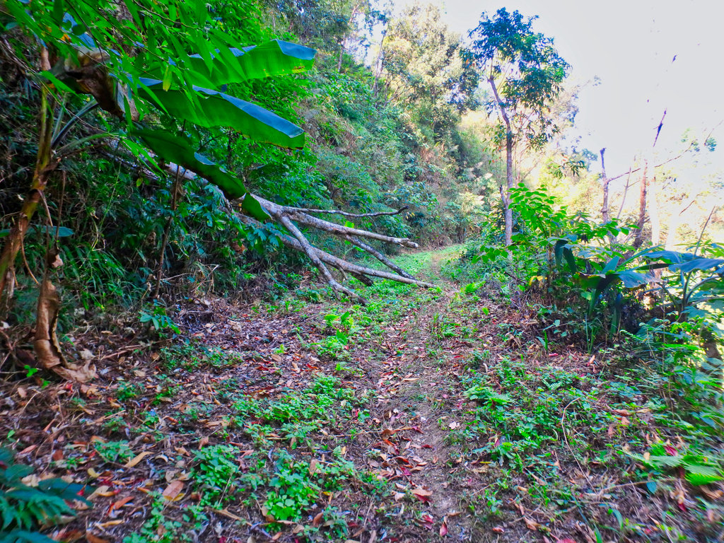
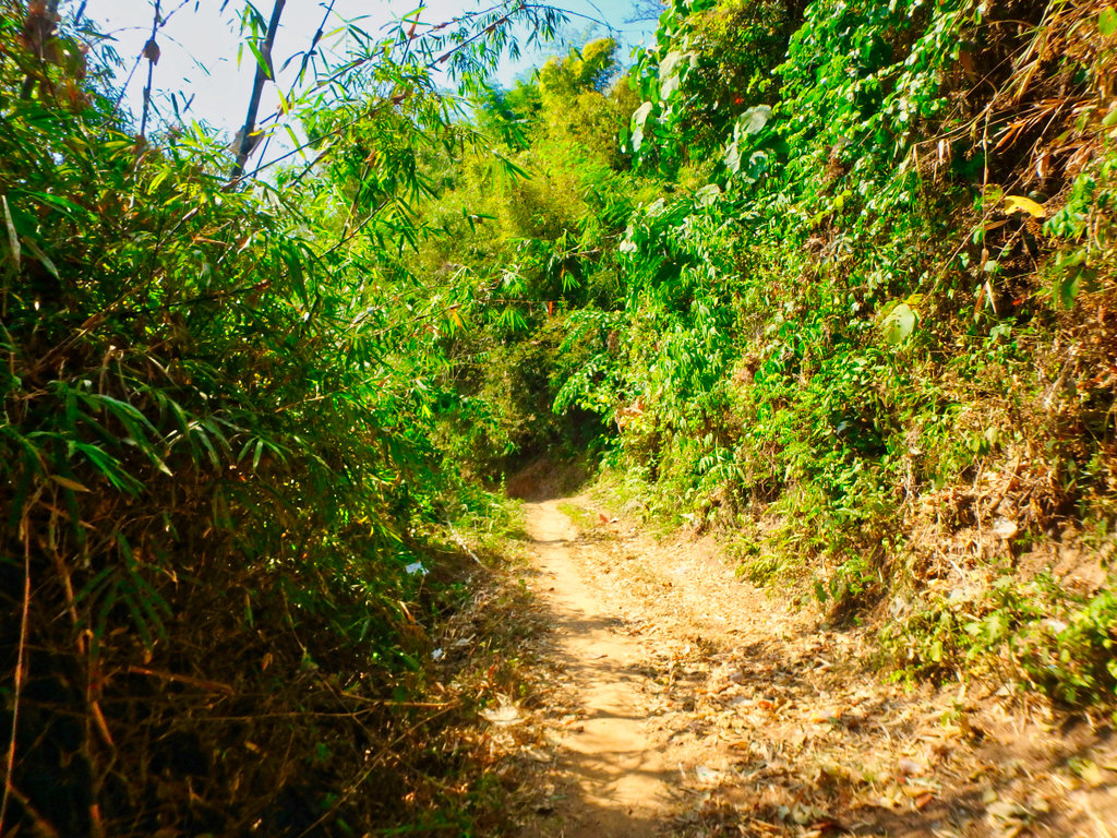
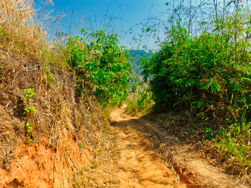
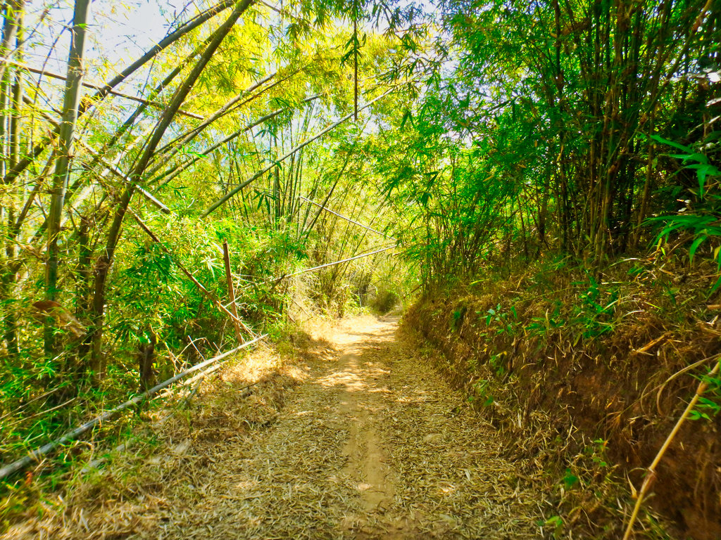
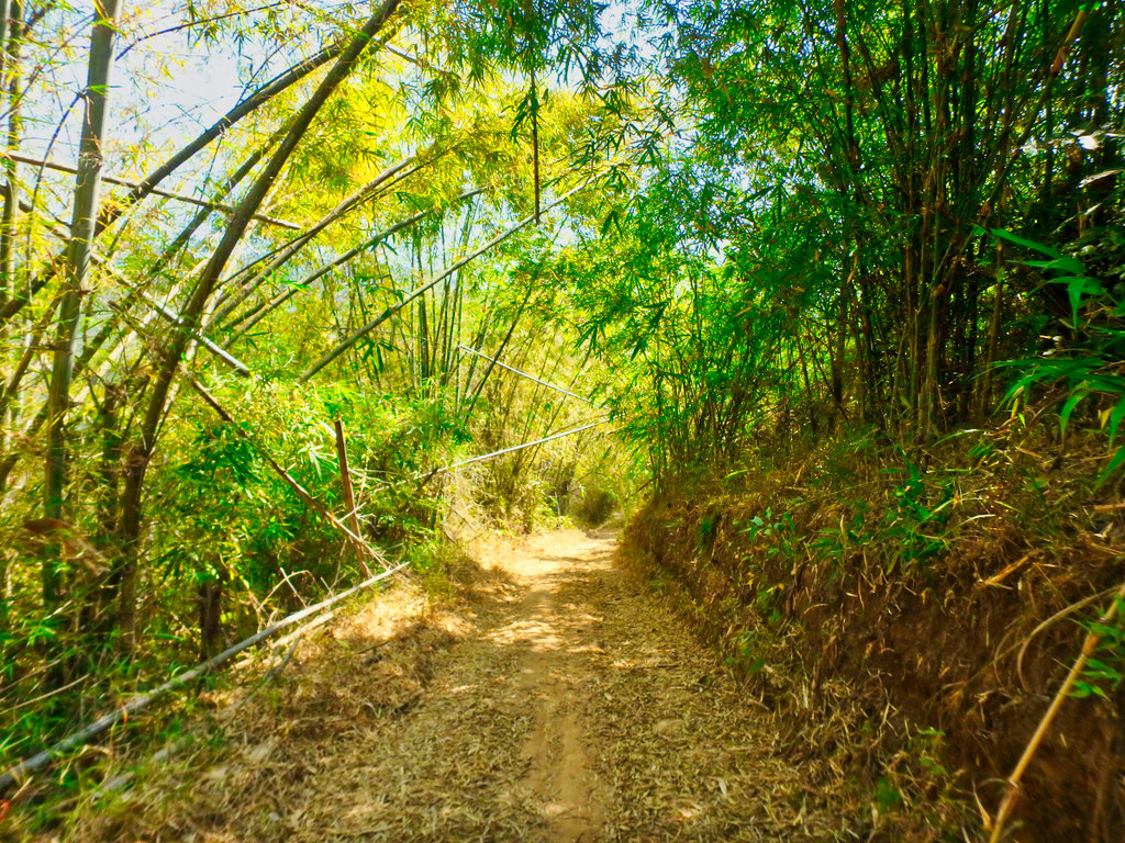
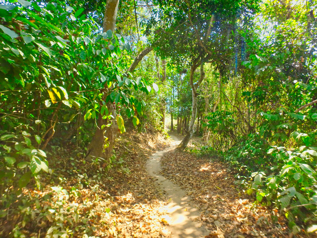
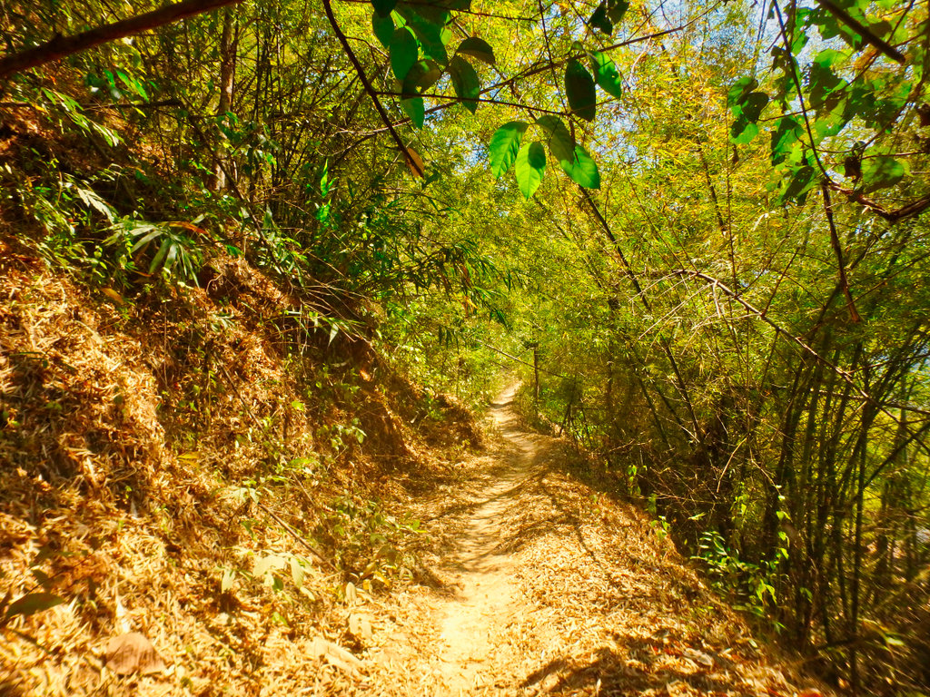
Bamboo leaves can be a hazard at this time of year not only are they slippy as hell the mask out the ruts.
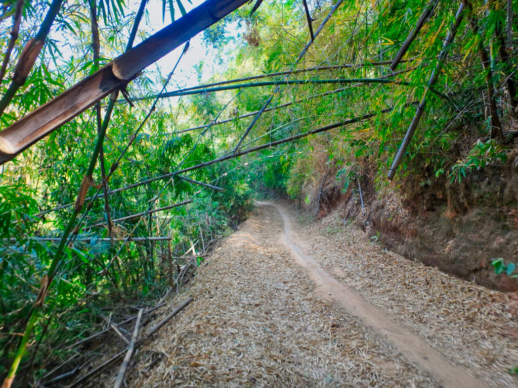
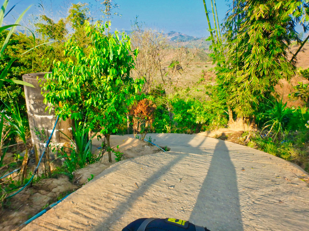
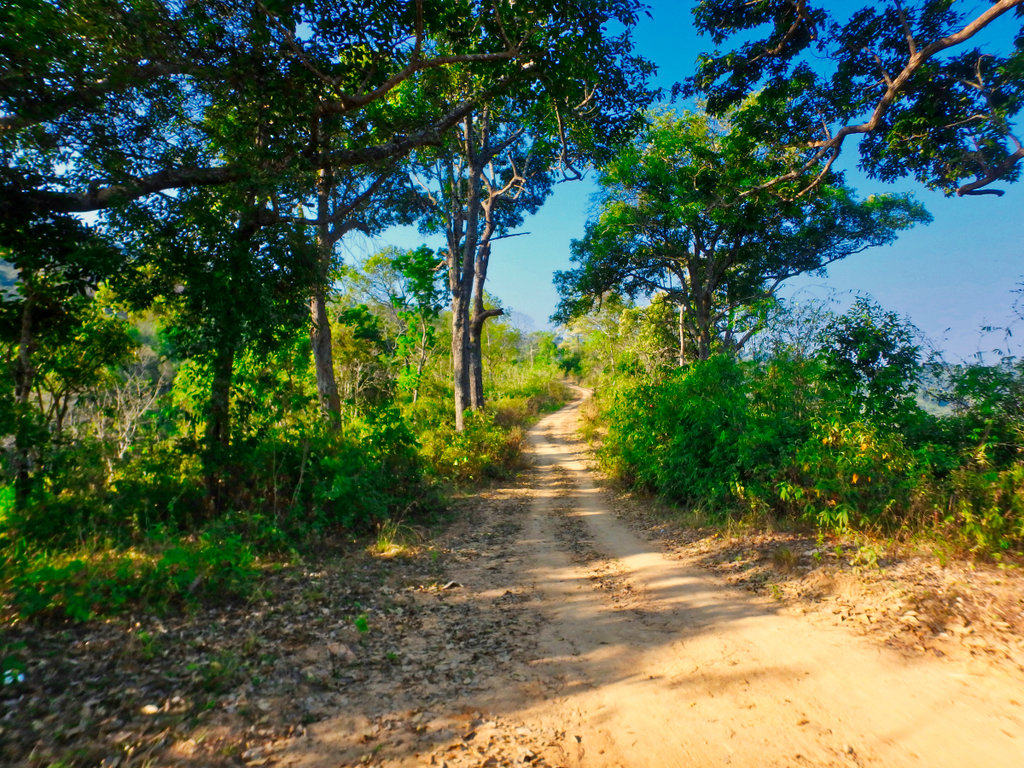
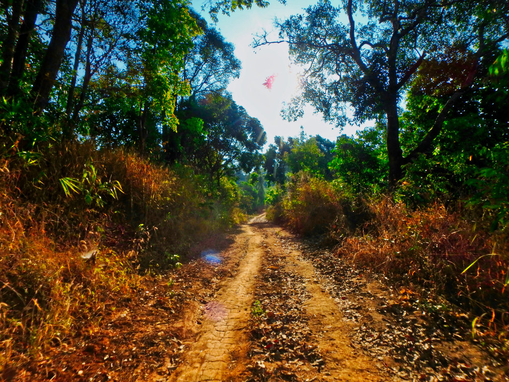
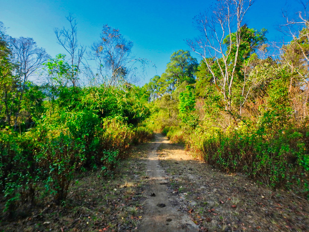
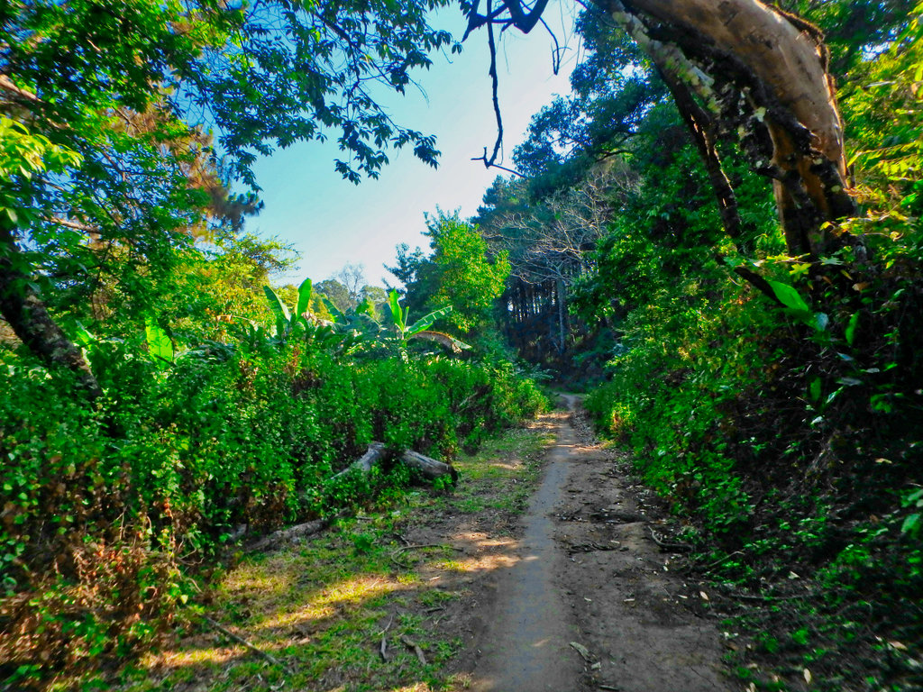
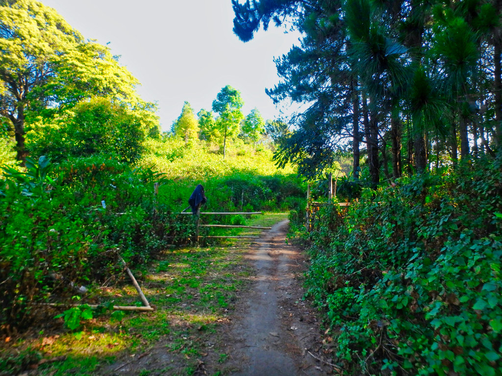
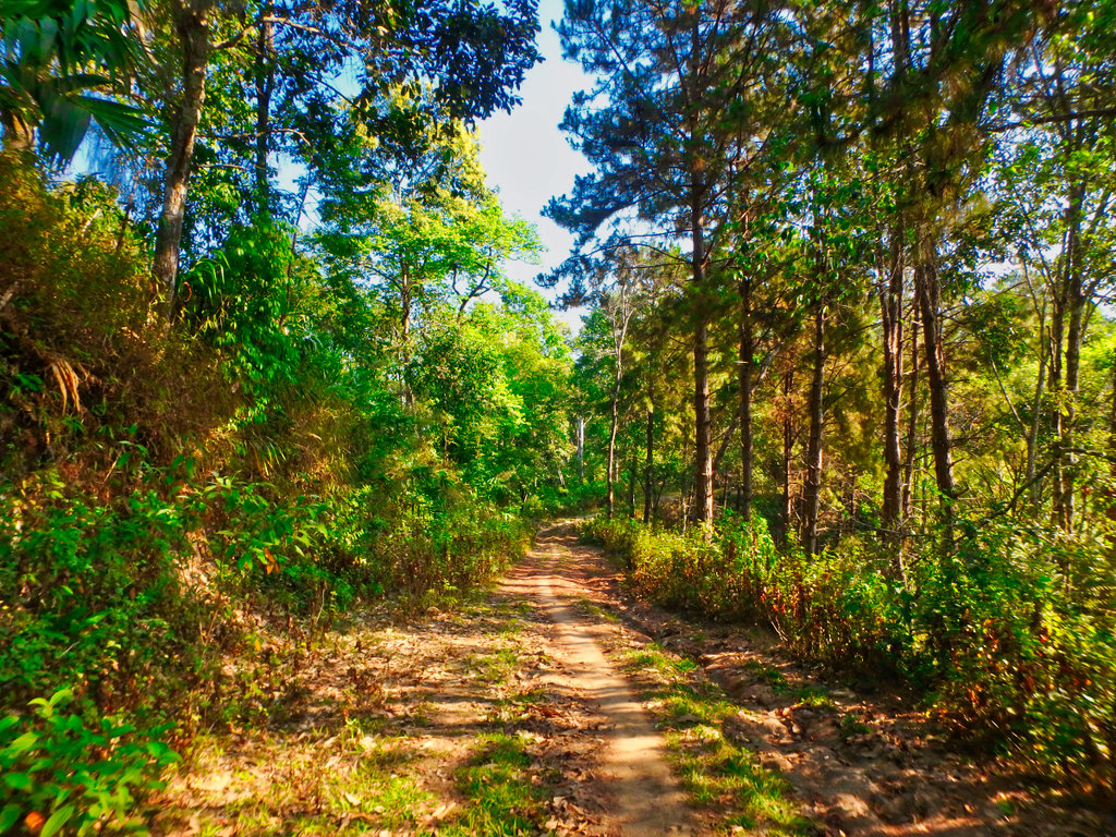
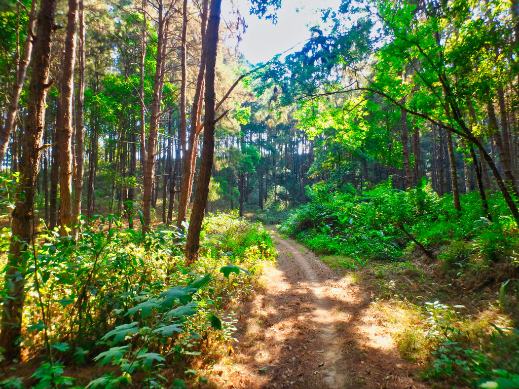
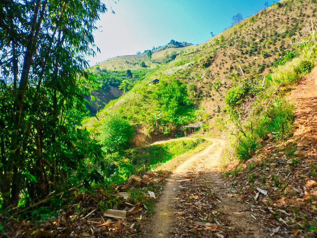
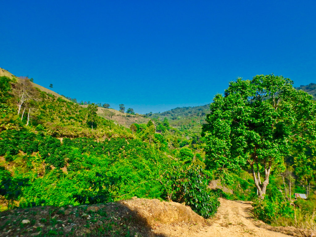
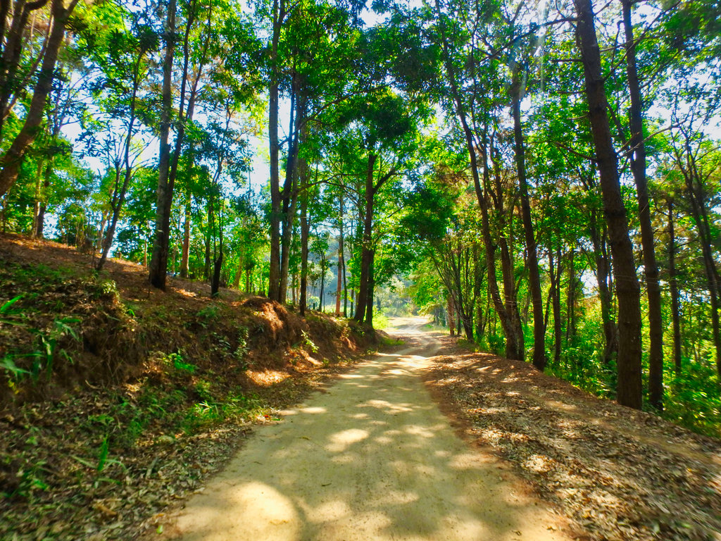
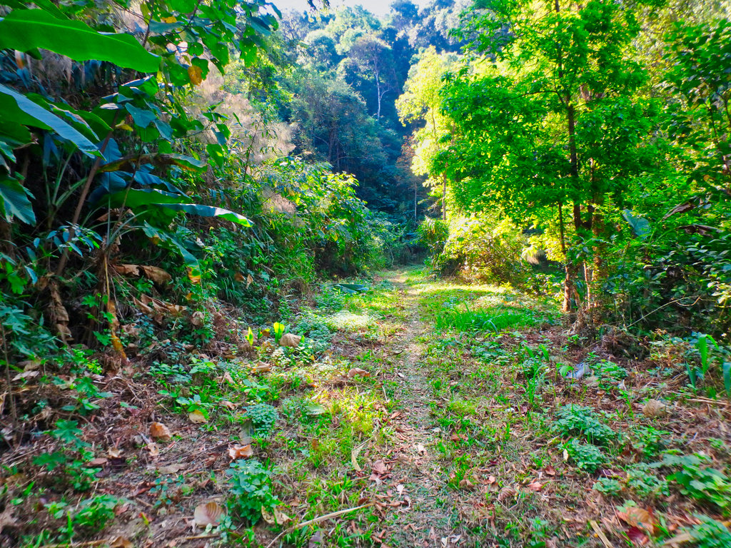
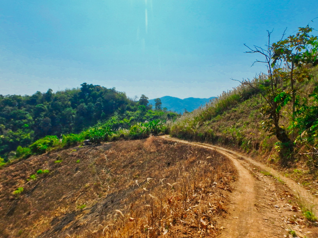
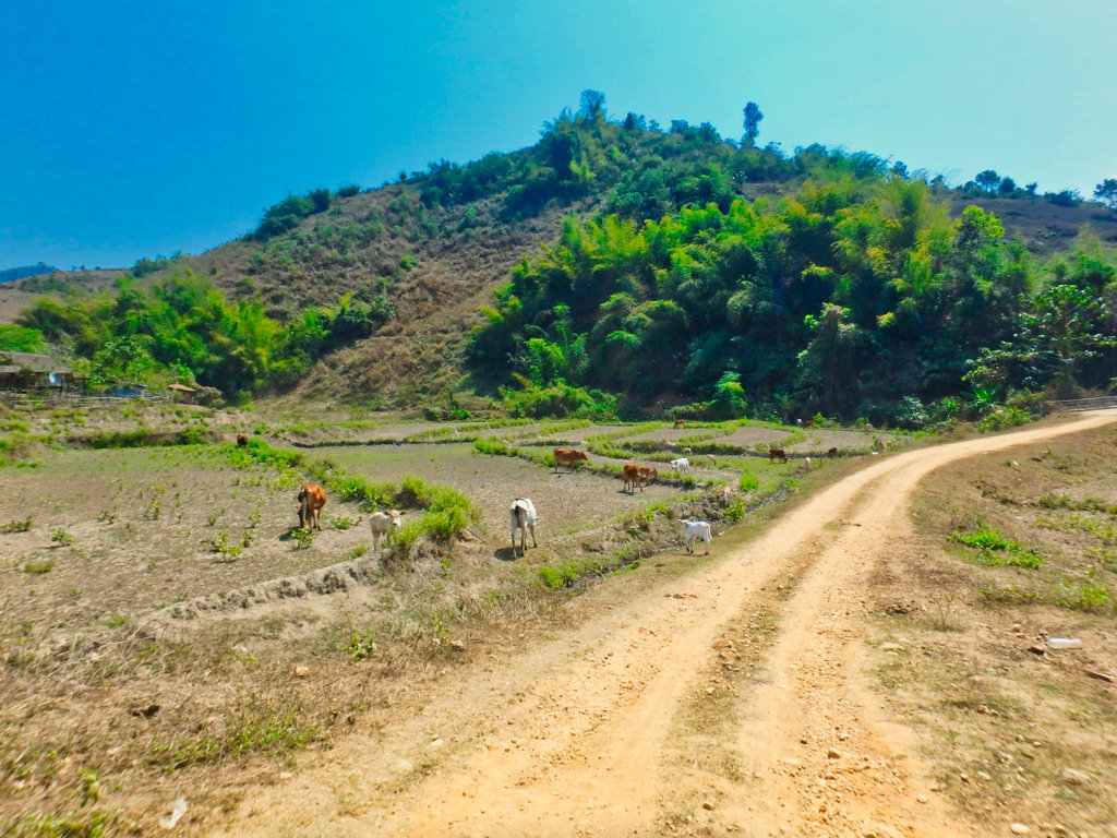
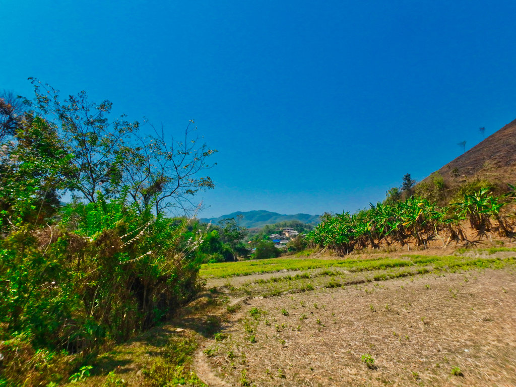
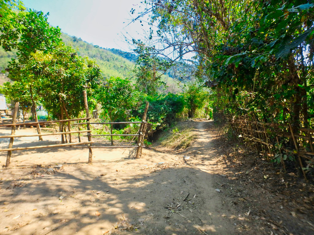
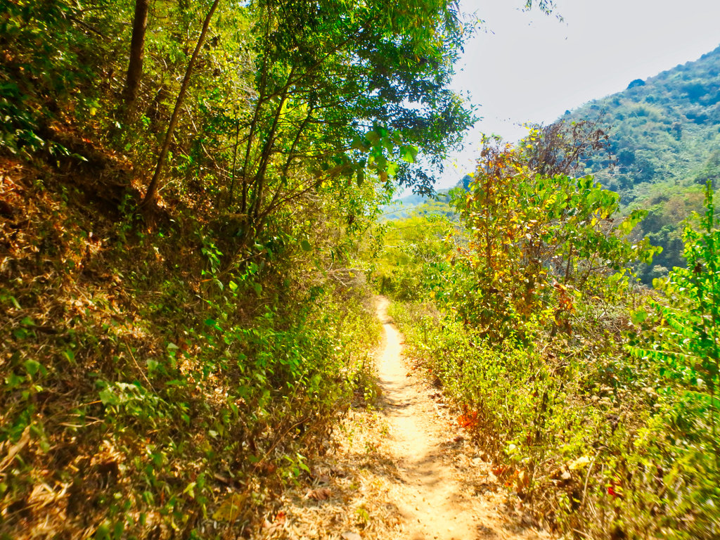
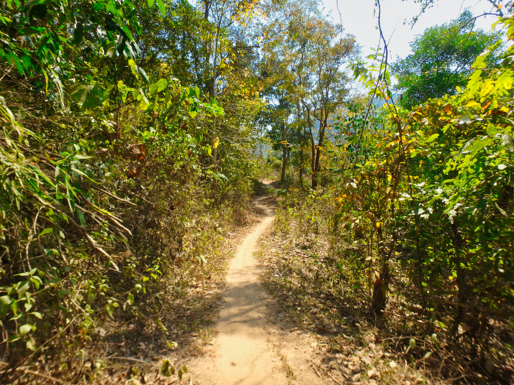
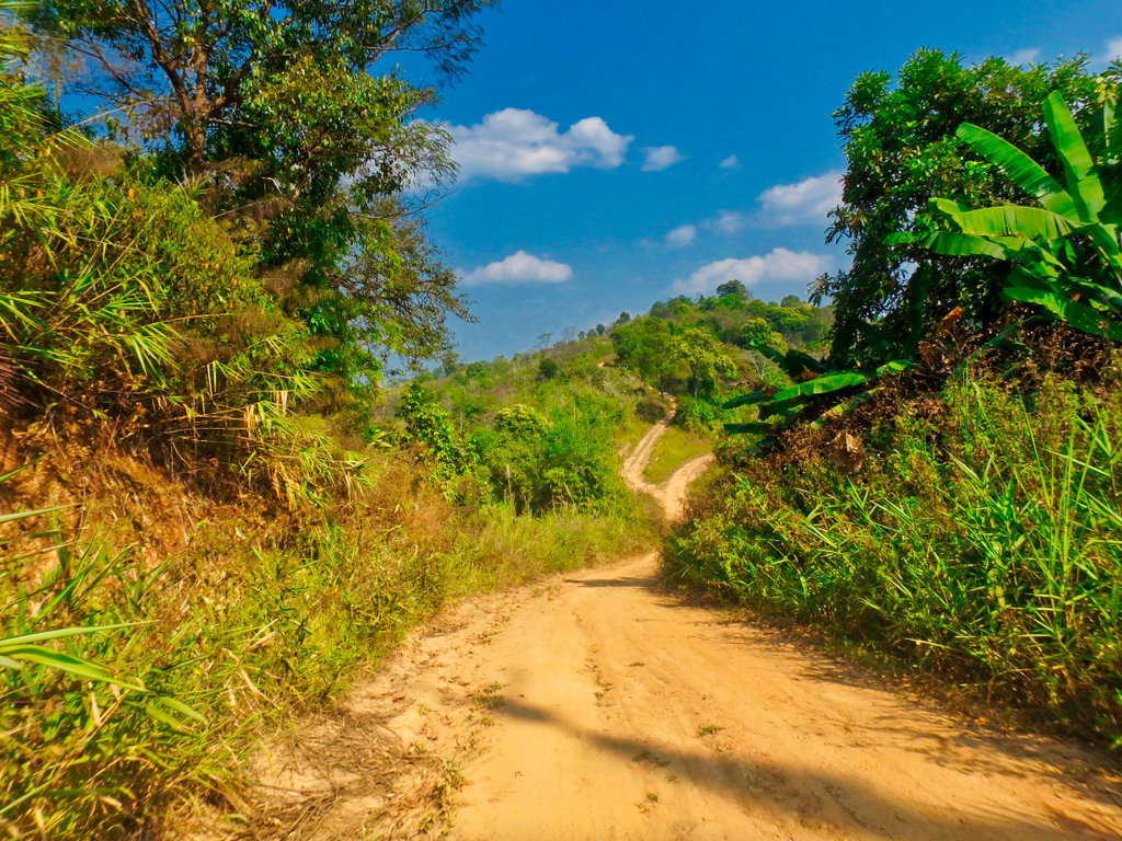
The way I'm heading.
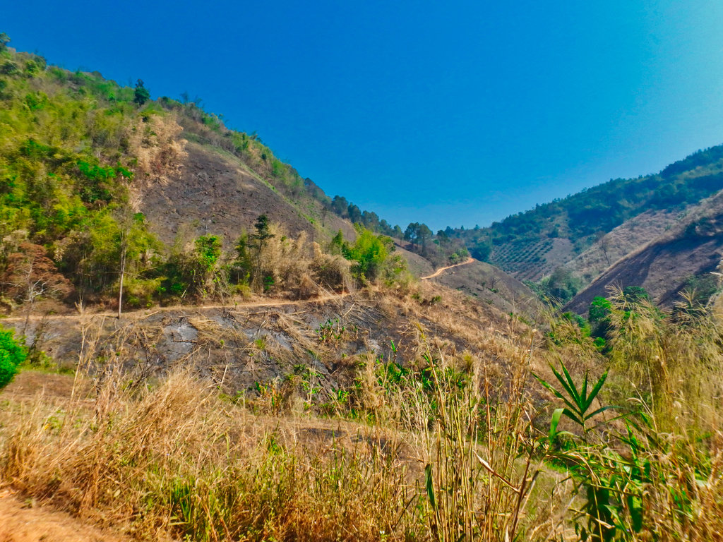
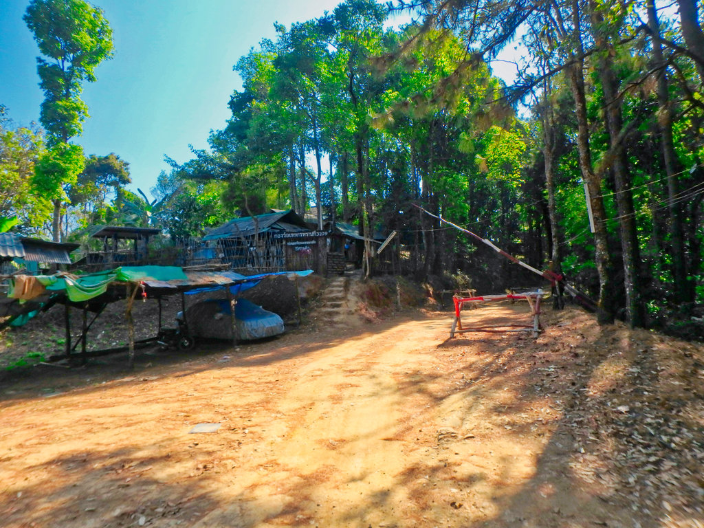
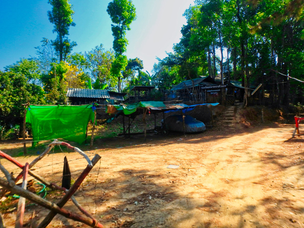
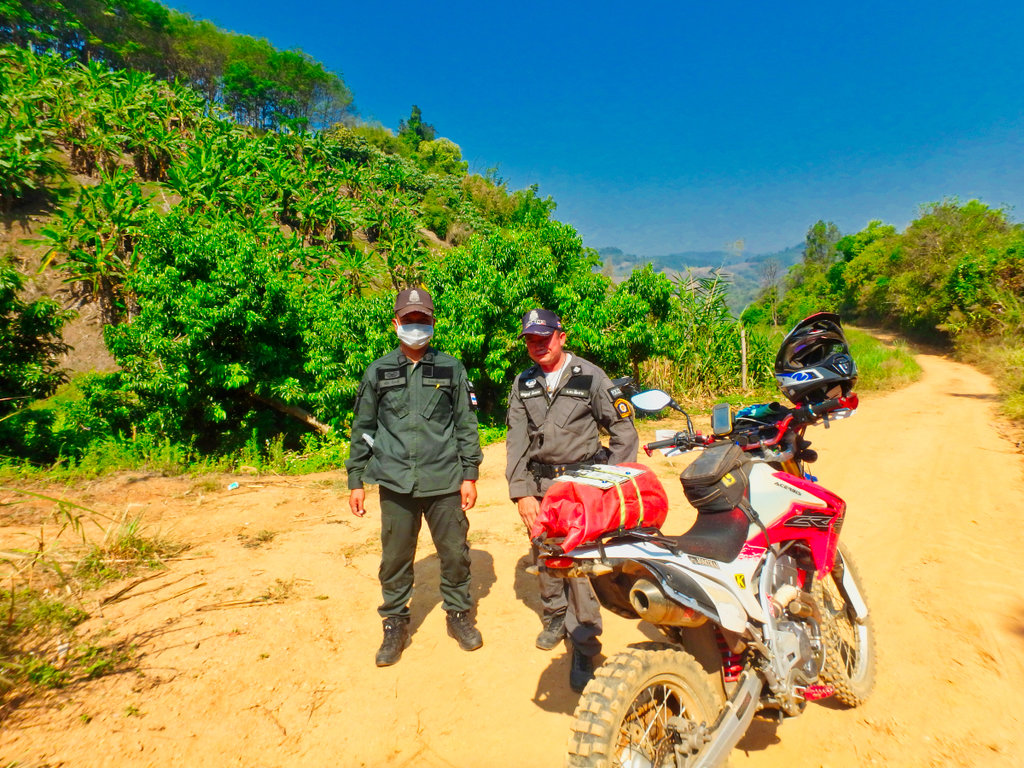
These two cops scared the hell out of me as i reached the end of the trail they jumped out and stopped me, once they realised i was a farang, all smiles and they posed for a picture, careful to cover up their side arms.
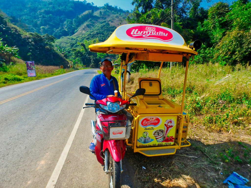
Once on the 1089 stopped for a nice ice cream it was still early morning but already getting hot.
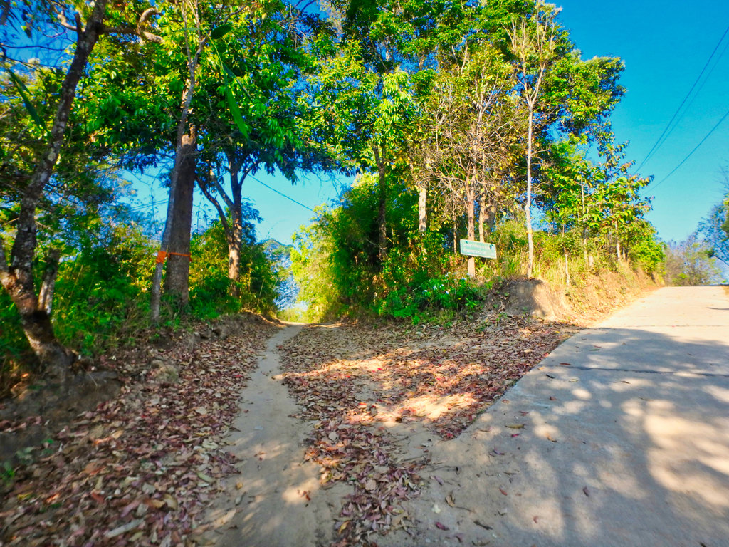
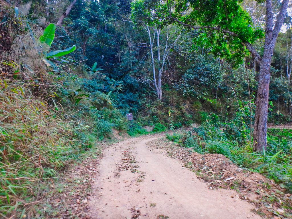
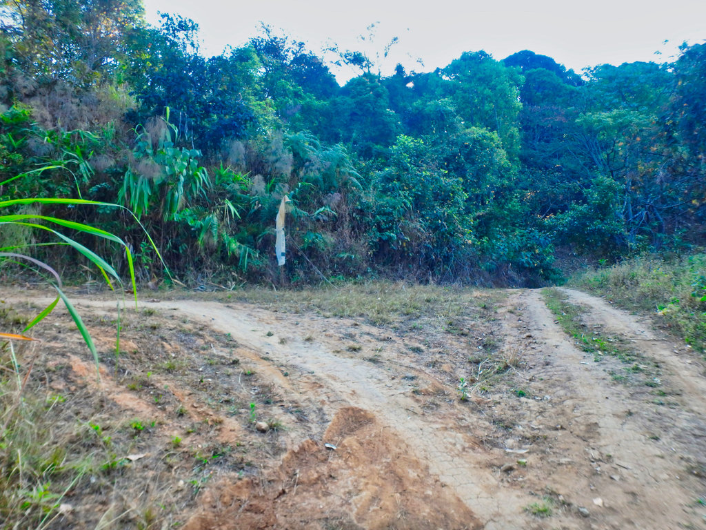
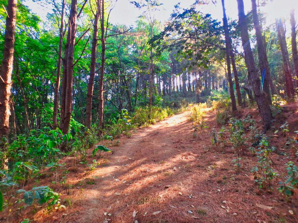
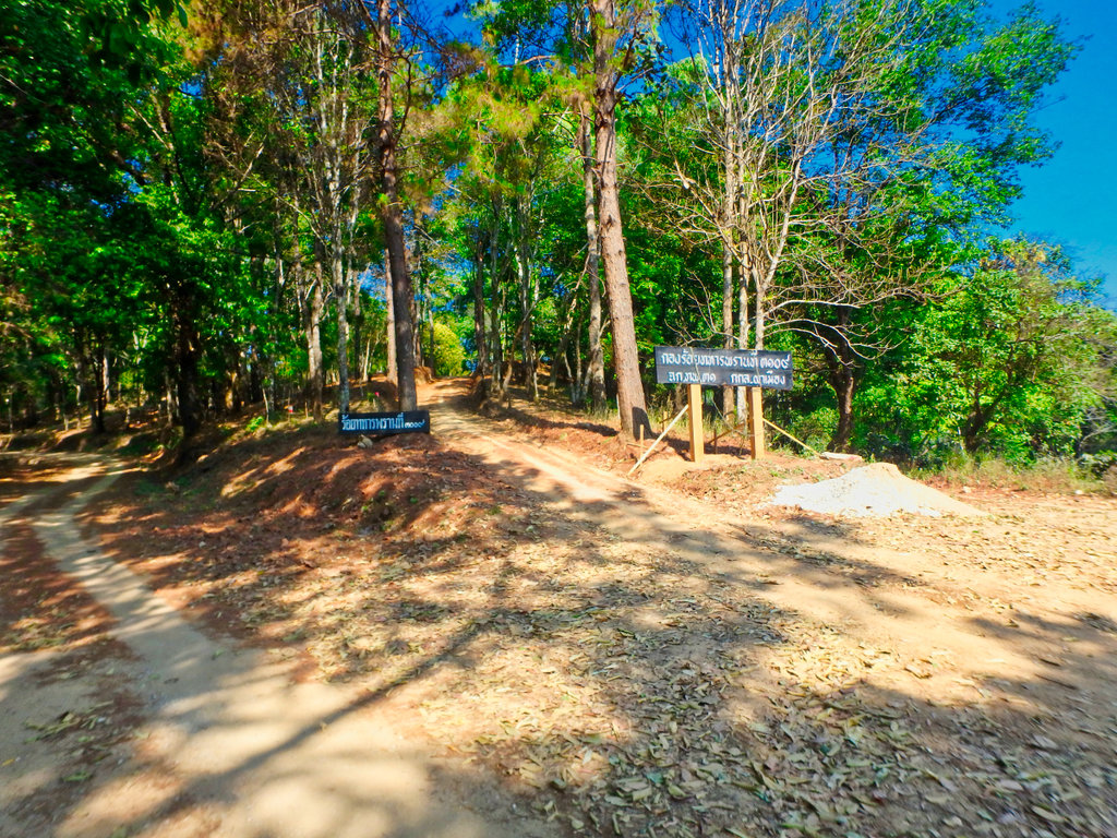
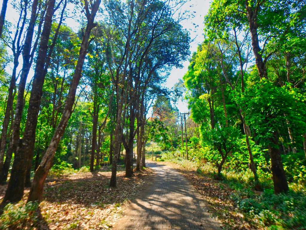
Heading east on the 1089 and the small turn for the trail to Mae Salong, a little steep to start with.
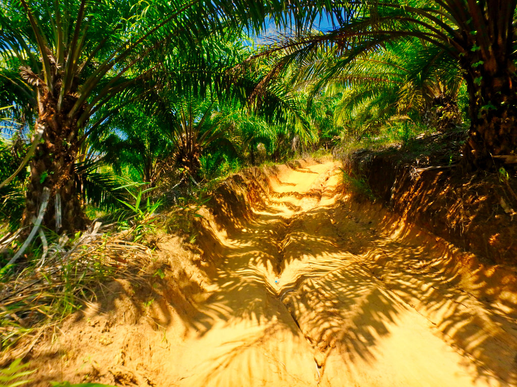
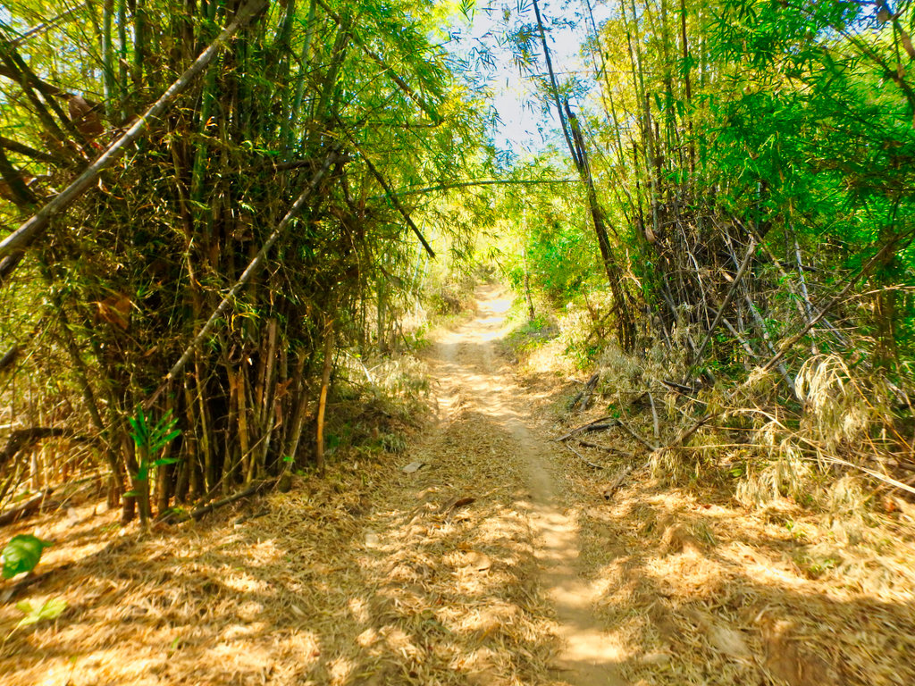
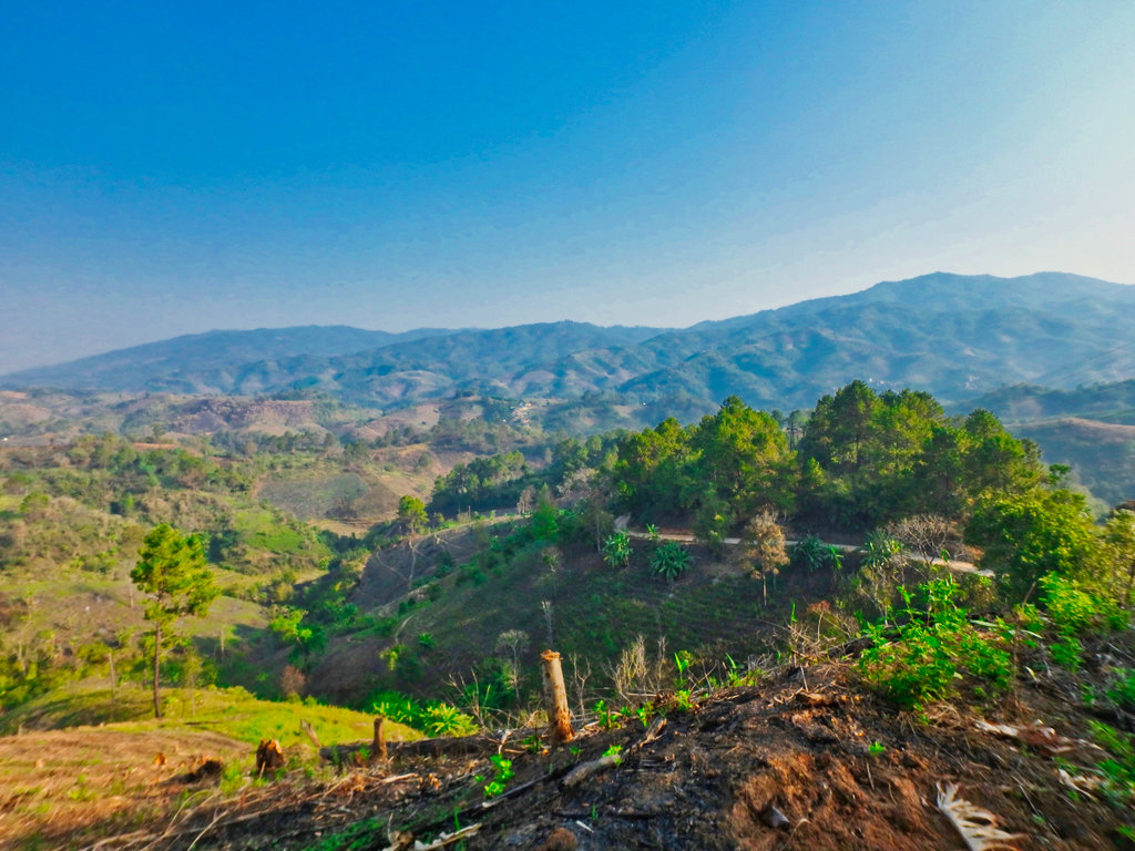
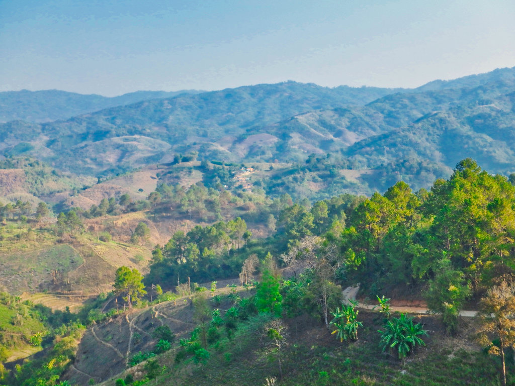
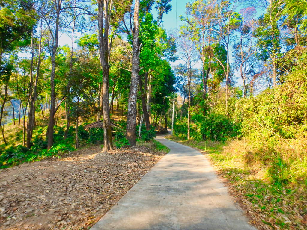
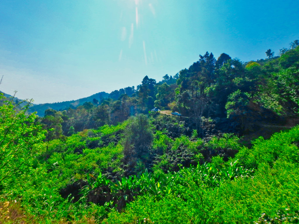
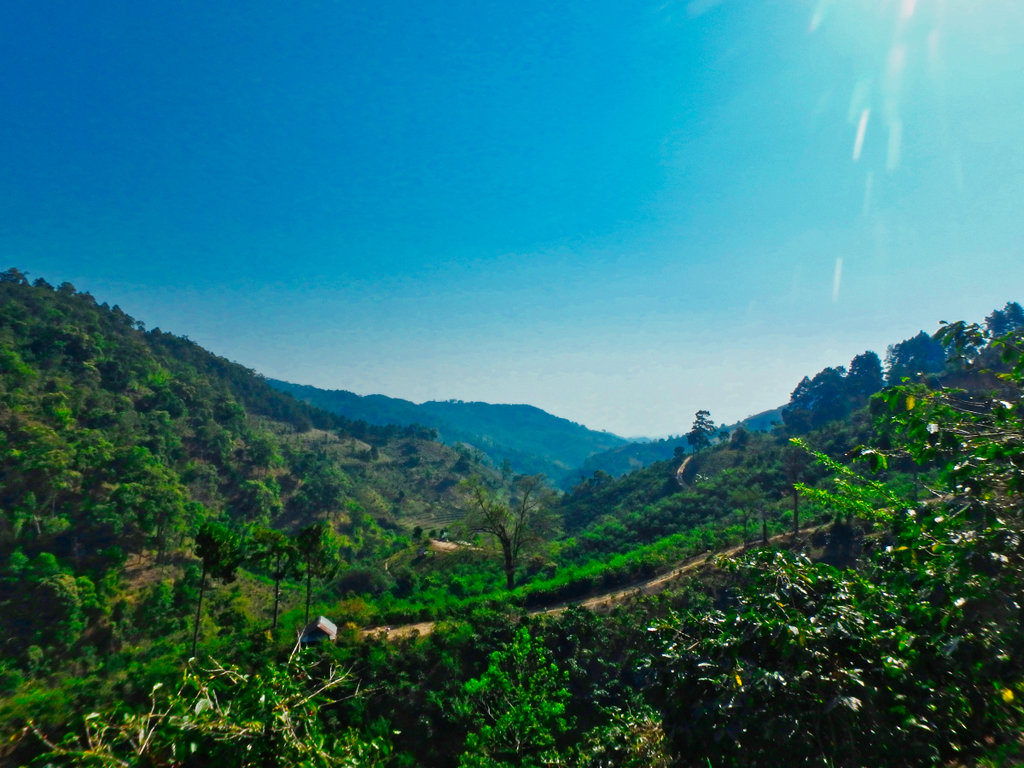
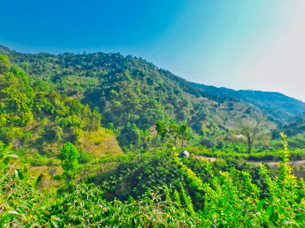
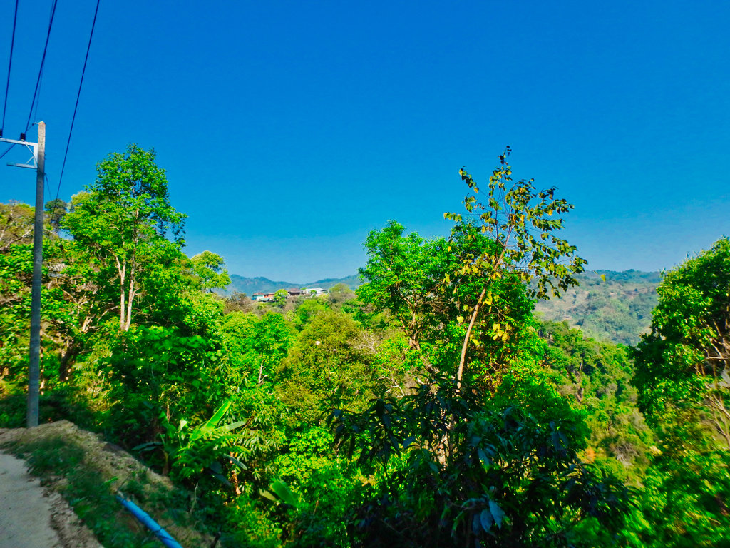
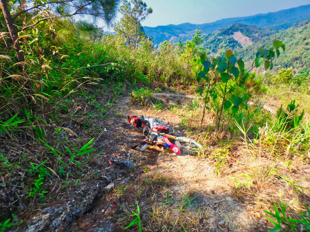
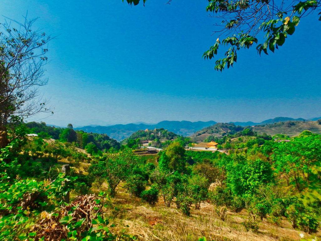
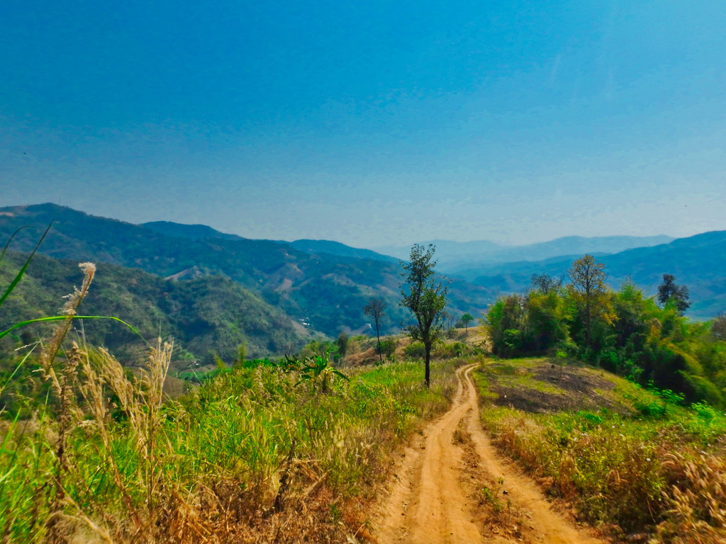
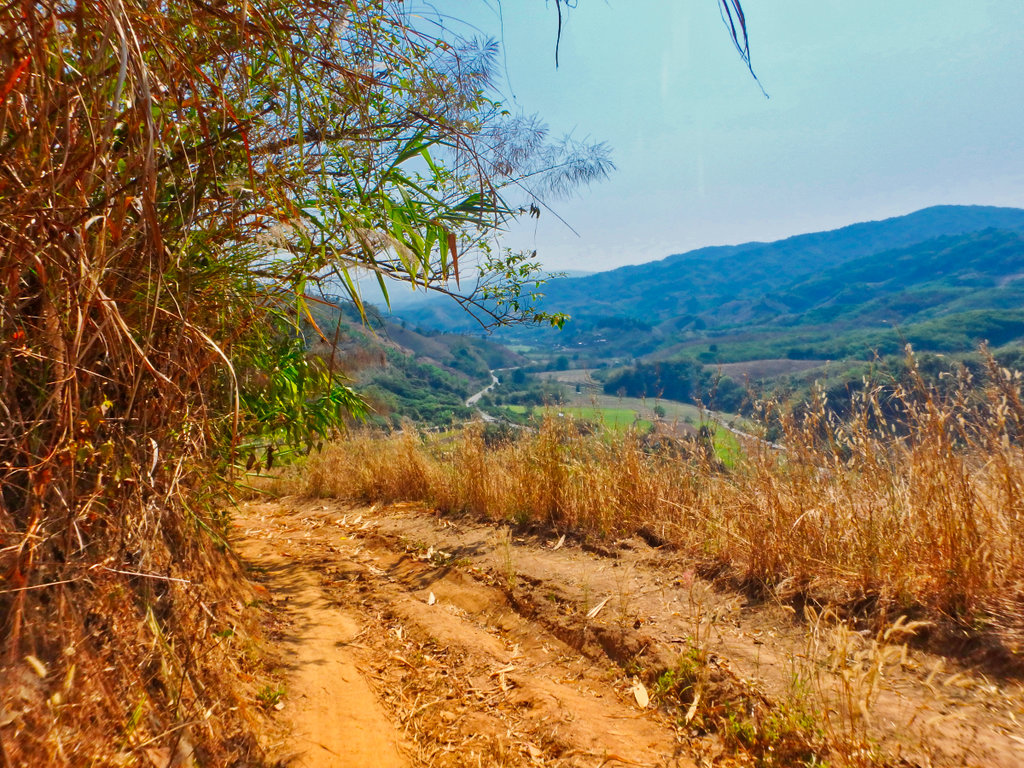
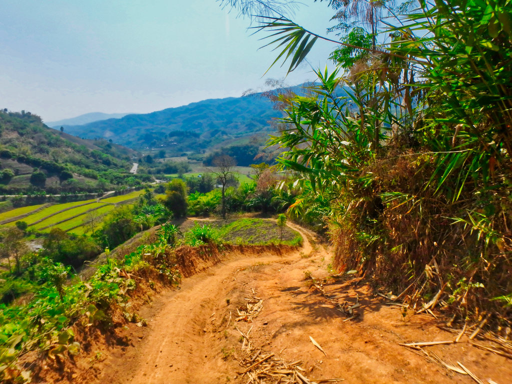
Then opens up to some fantastic views.
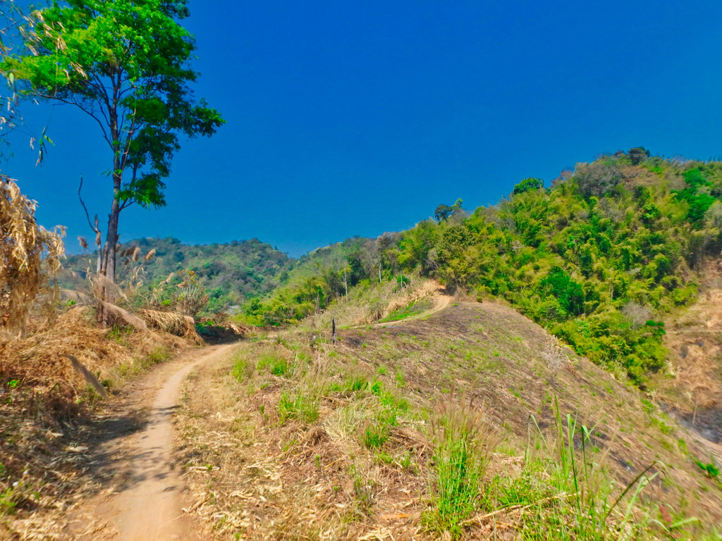
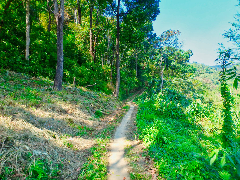
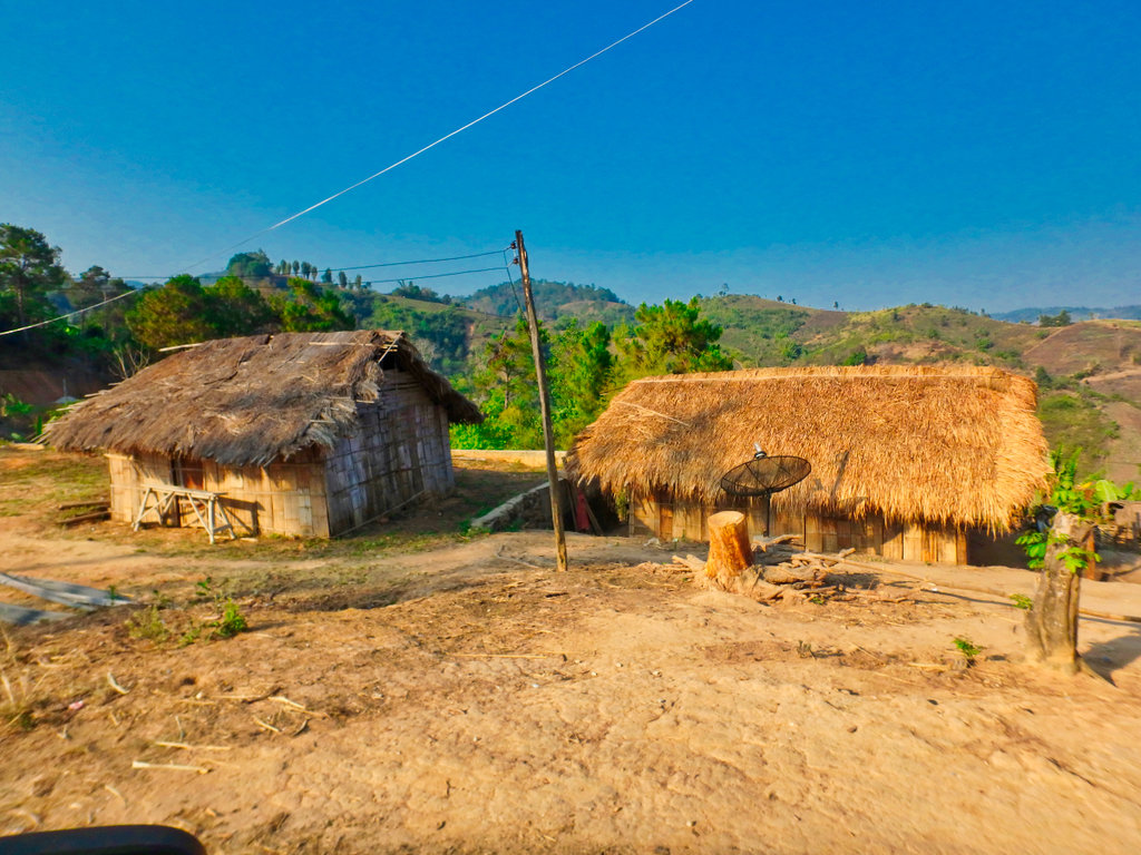
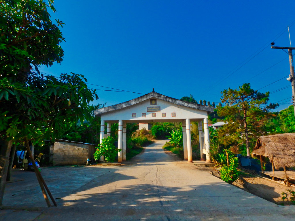
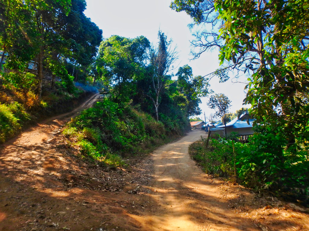
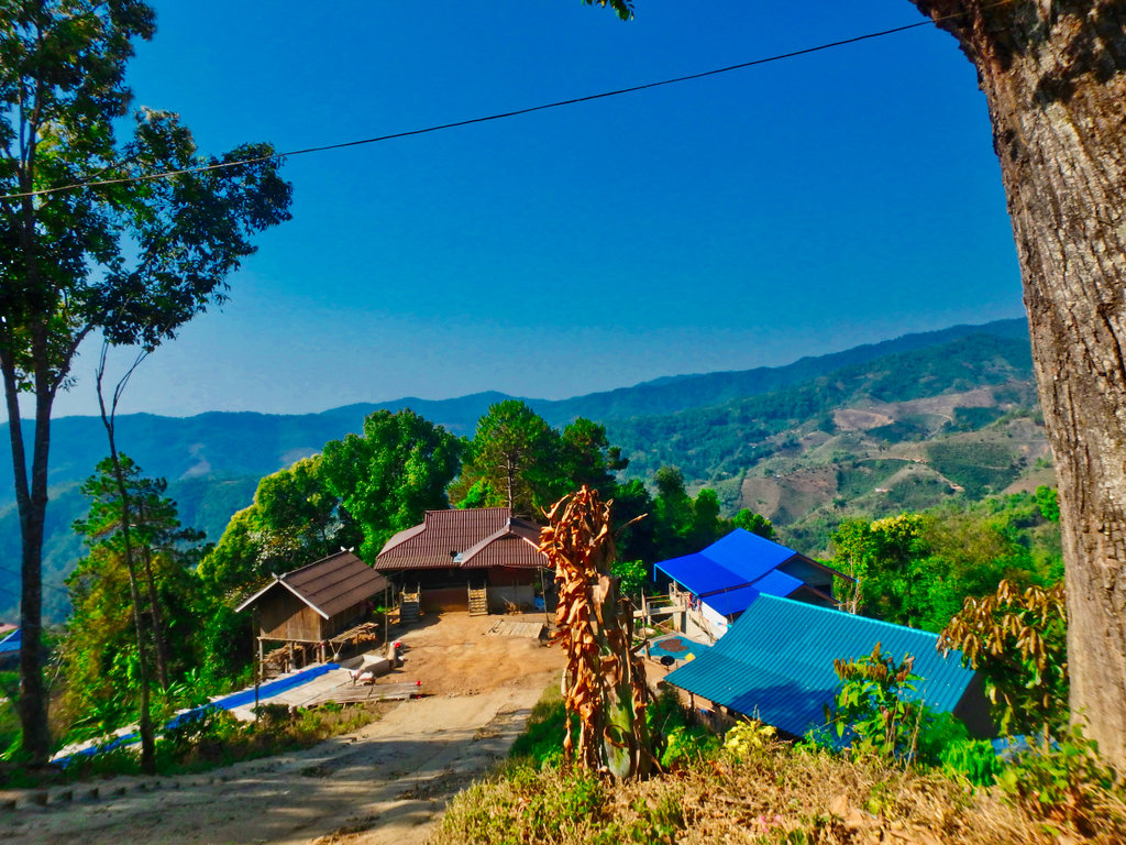
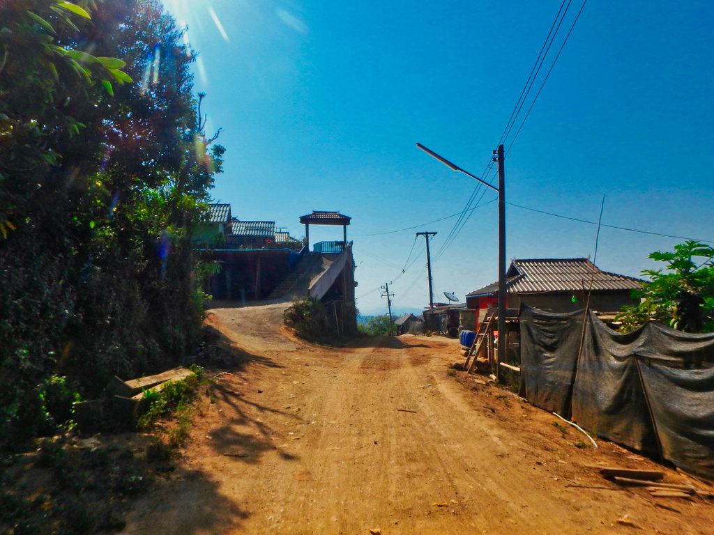
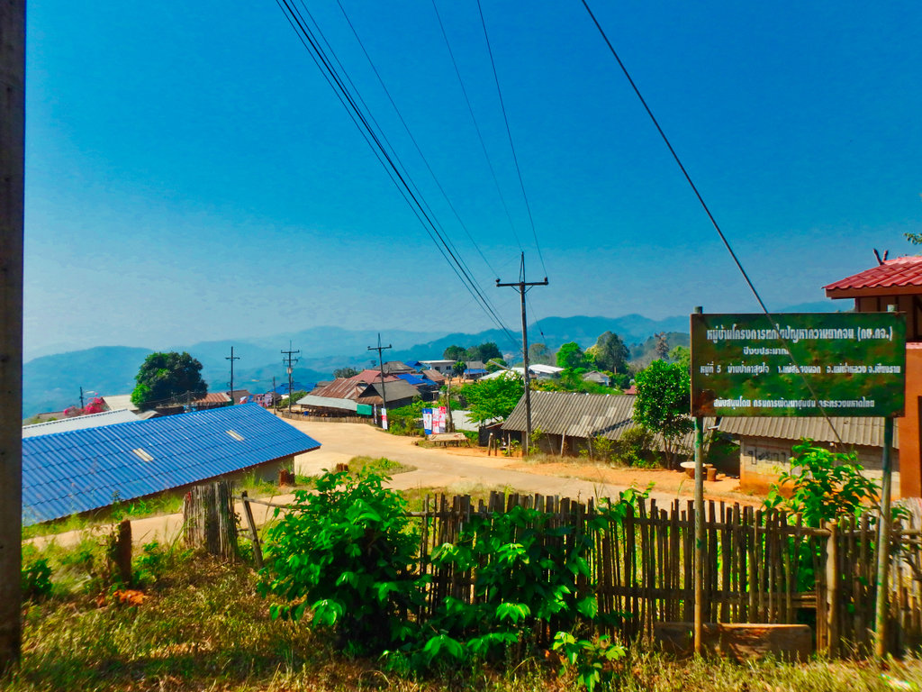
Reaching the small Lahu village of Ja Bu Si, this being the focal point.
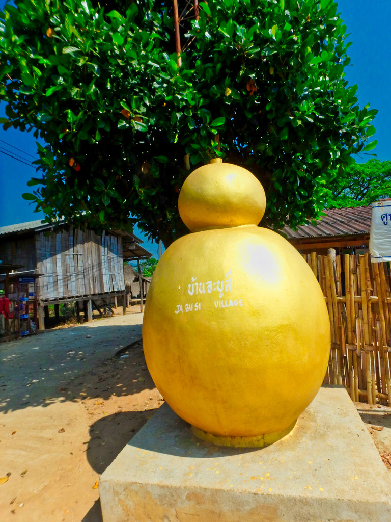
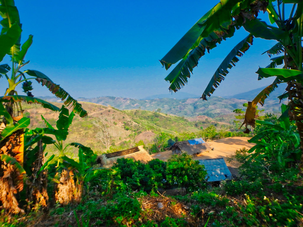
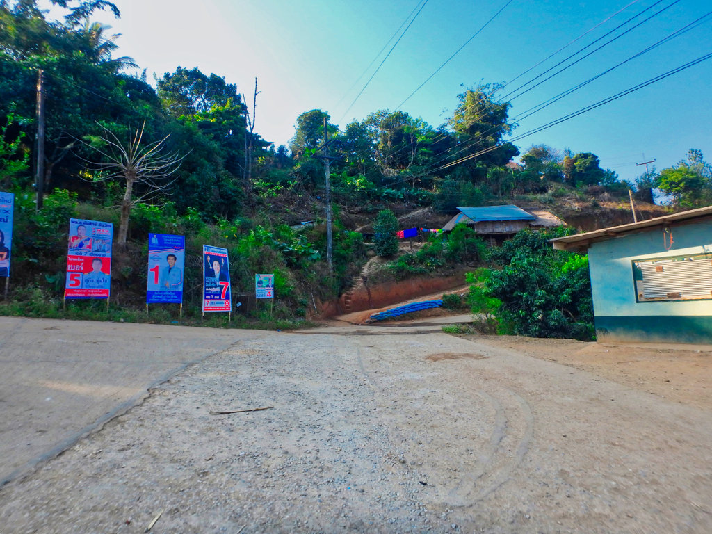
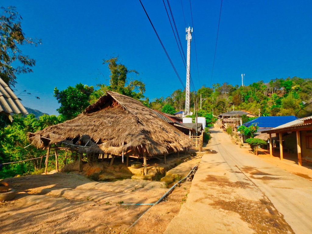
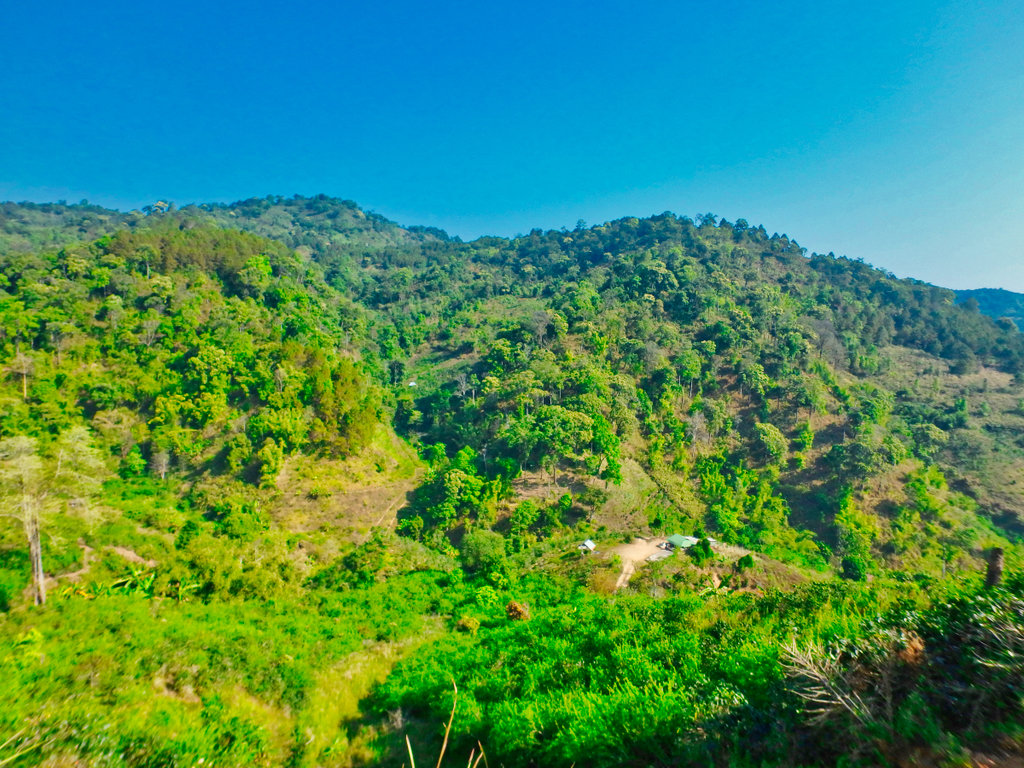
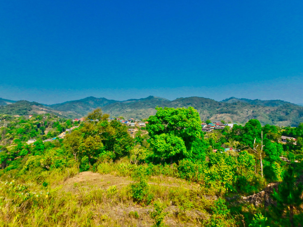
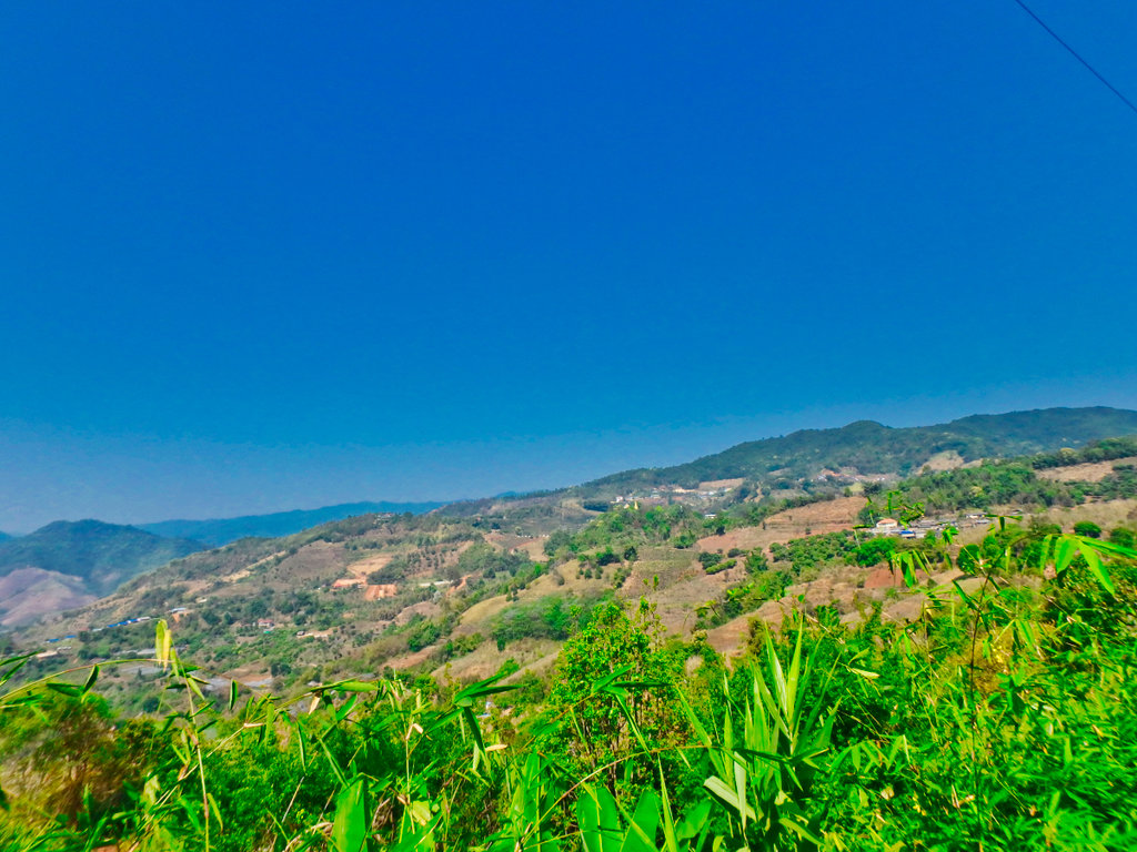
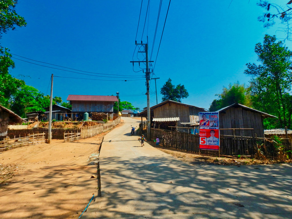
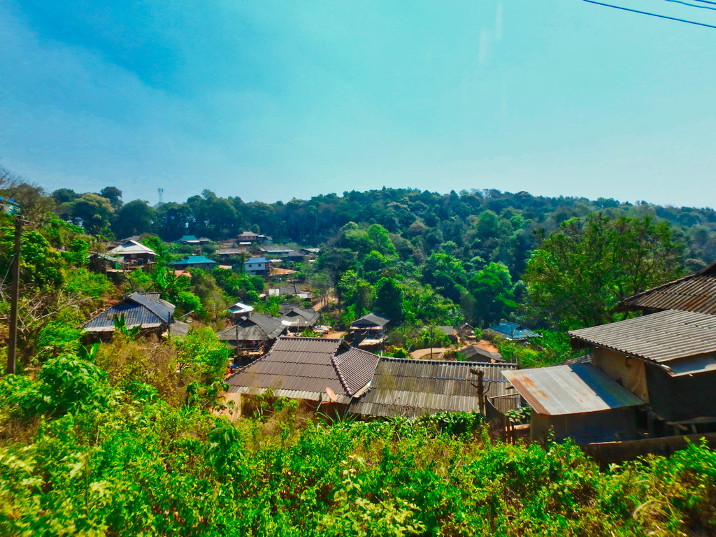
The small village perched on the hillside.
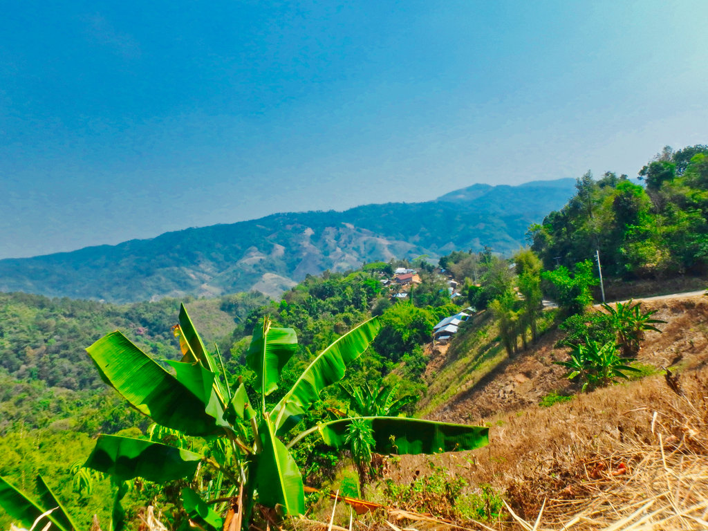
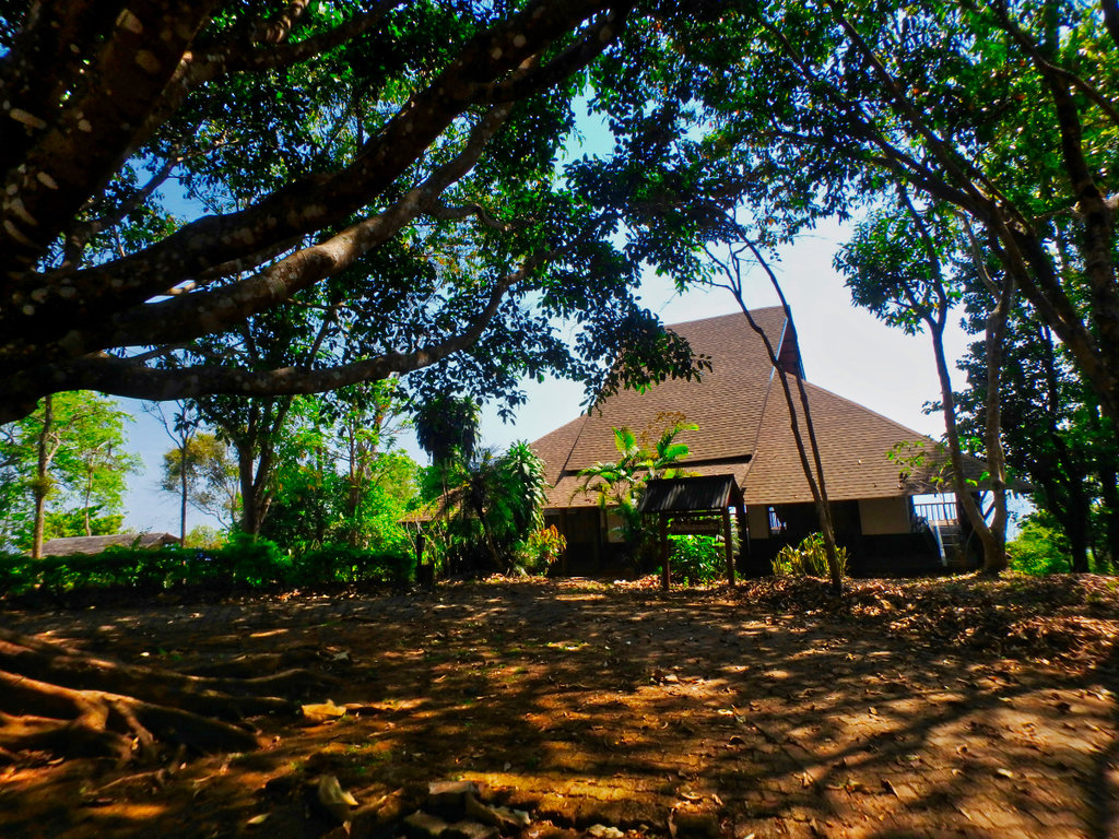
Between the village and Mae Salong Nok there is this abandoned park, would make a lovely camping spot.
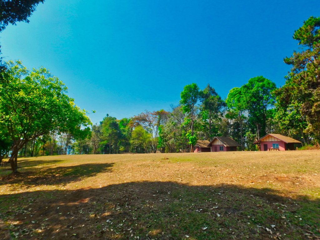
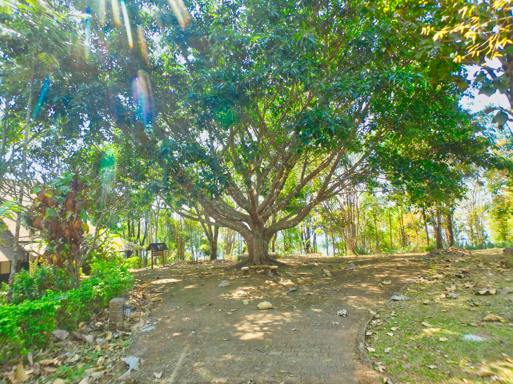
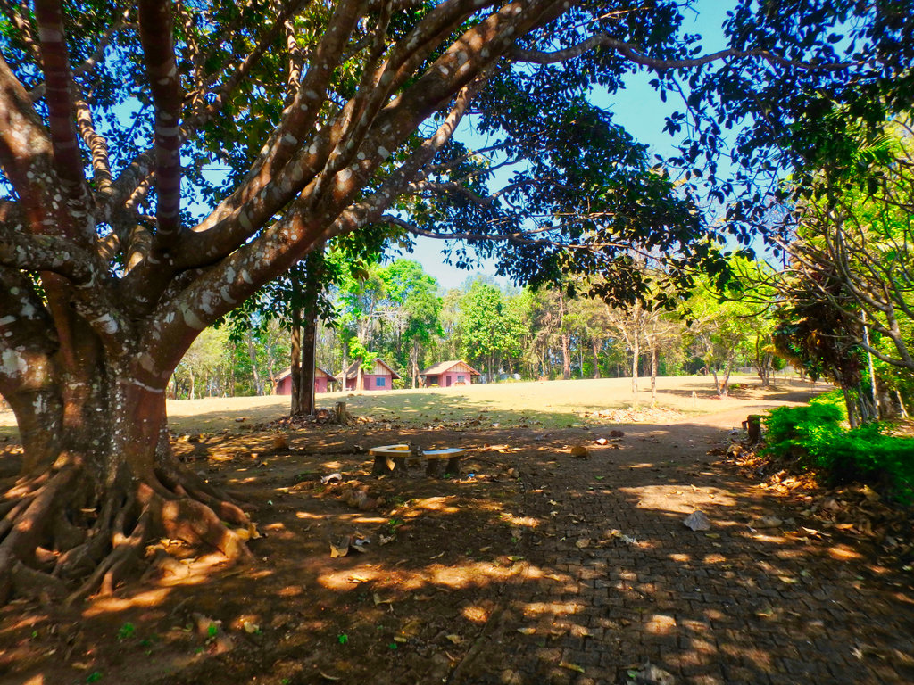
Like the people have turned their backs on the place and left it to rot.
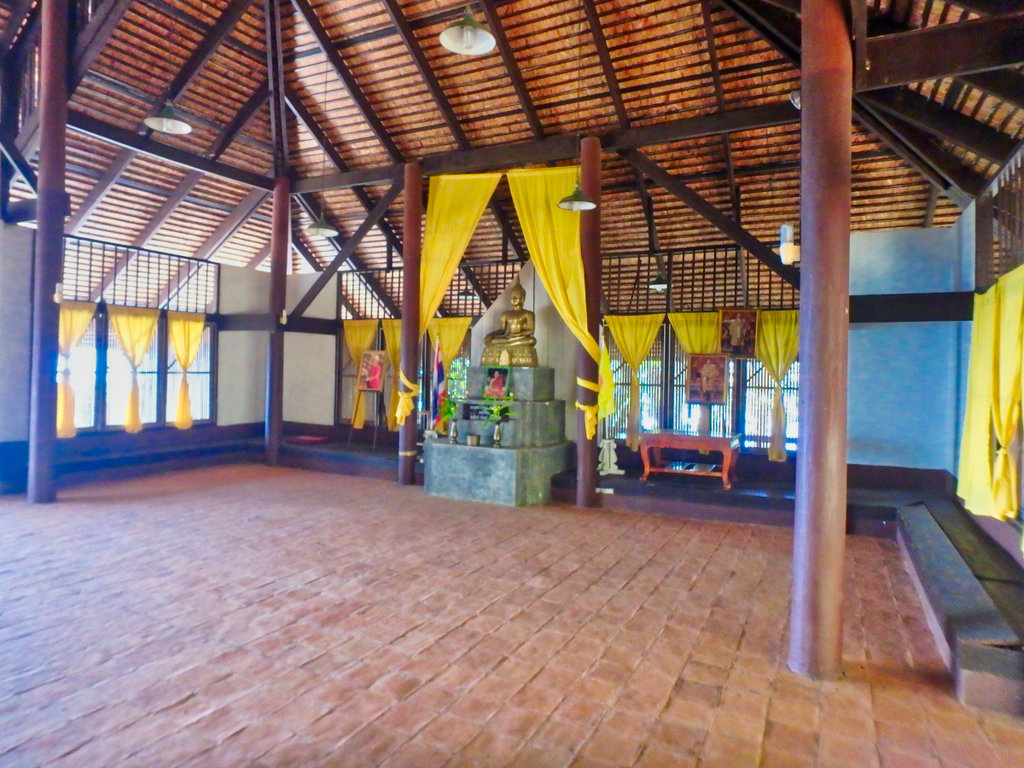
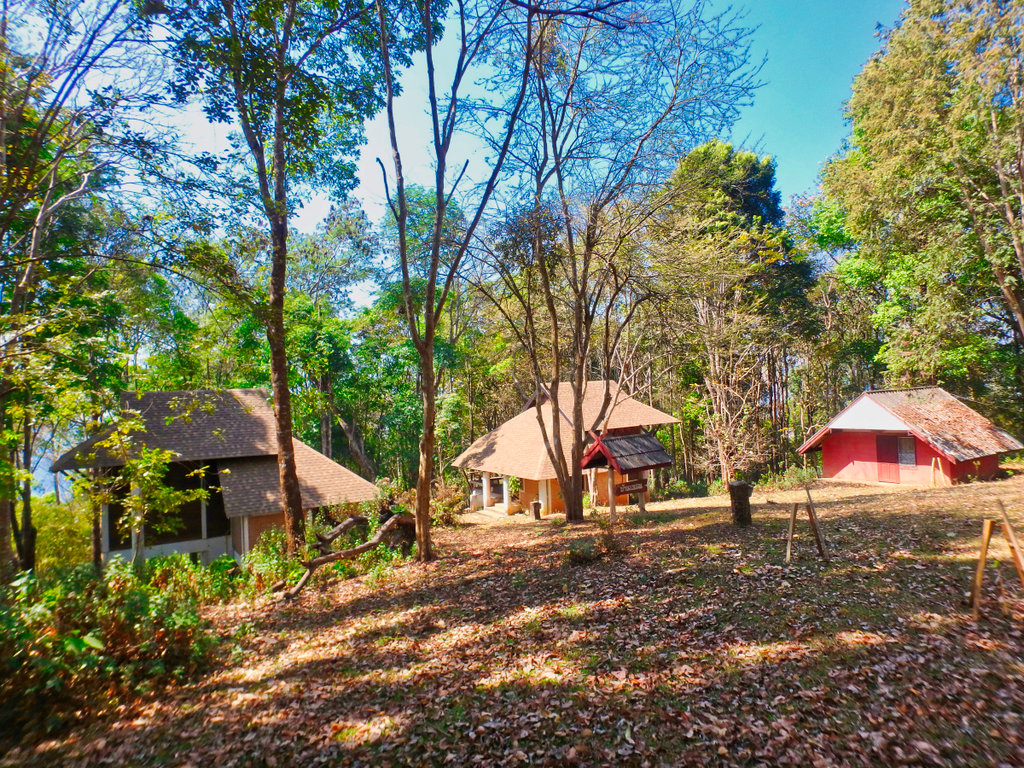
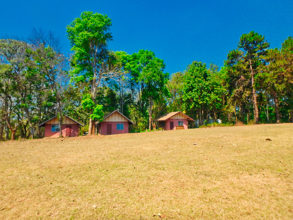
Several small bungalows waiting for customers.
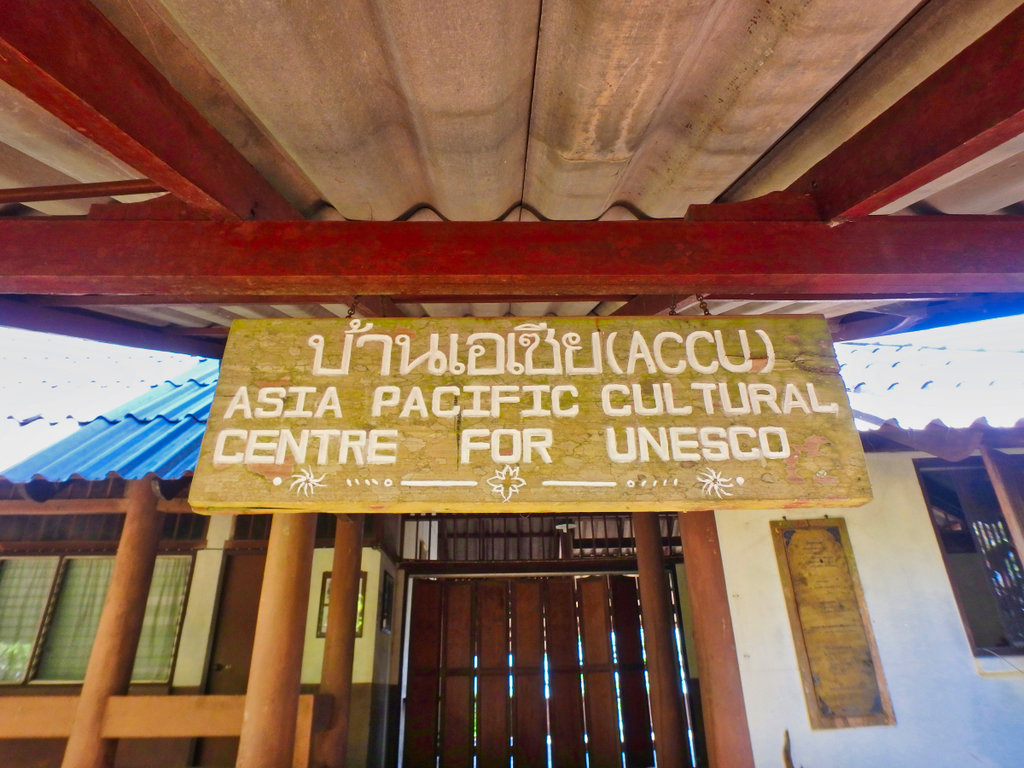
Unesco, hmmm.....
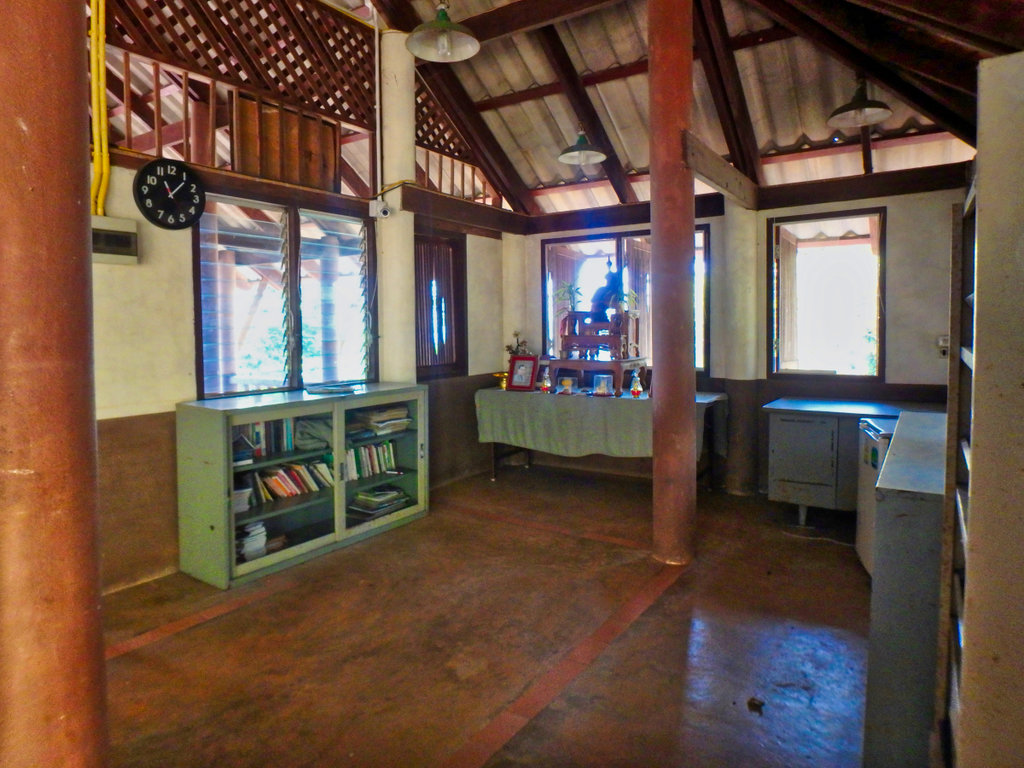
Nice little reference library.
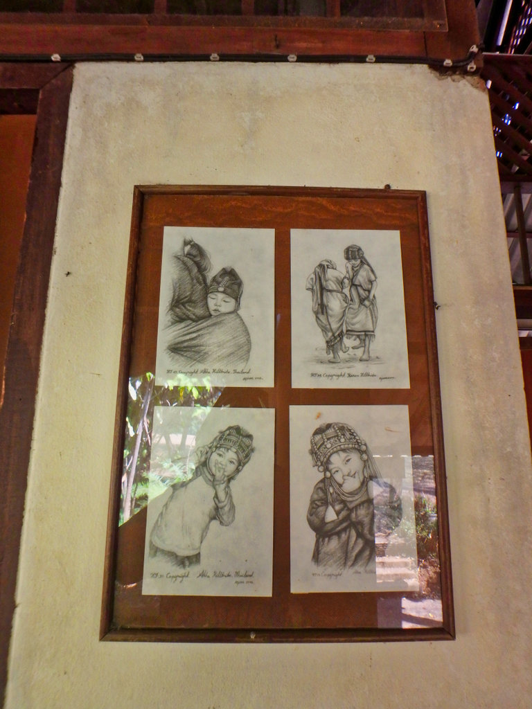
Seen these pencil drawing at every night market in Thailand, they are cute though.
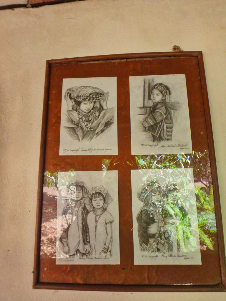
God at work maybe.
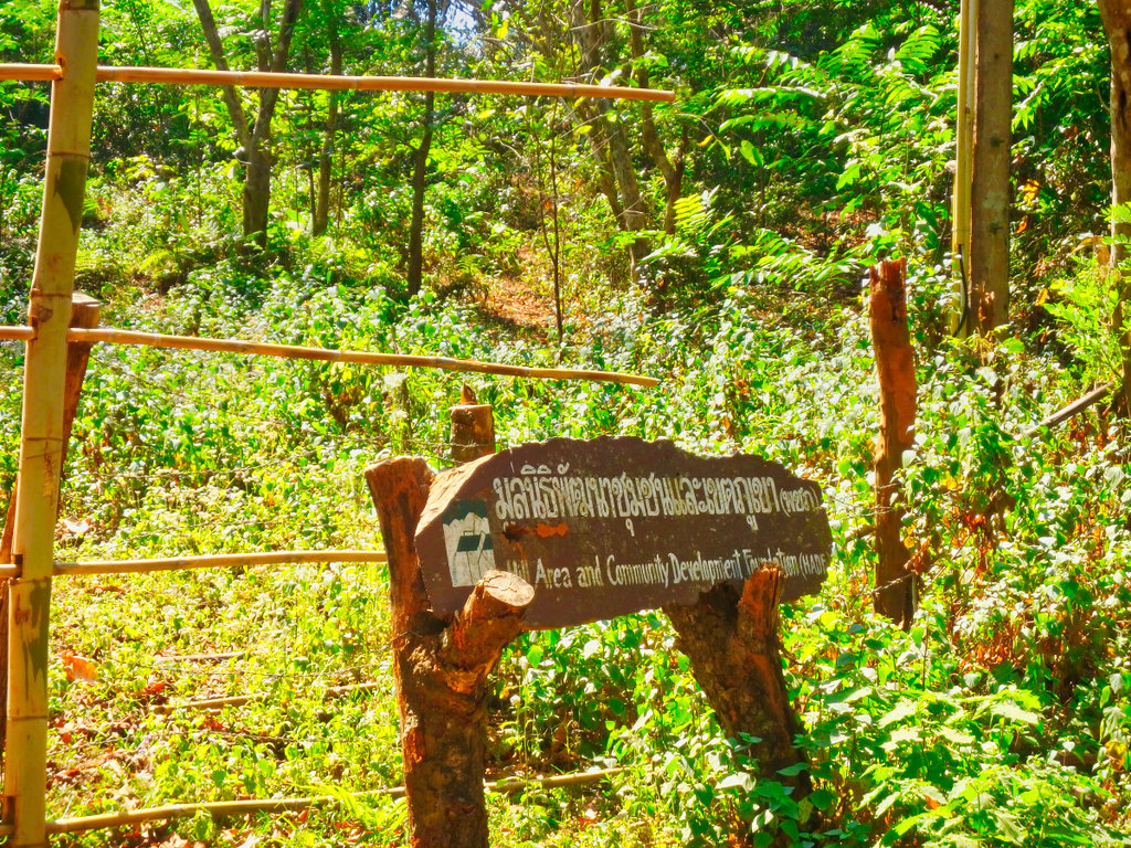
Mae Salong Nok not on many maps is a surprisingly large village.
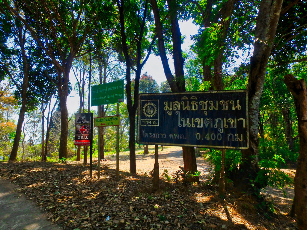
Mae Salong sure is a melting pot of most religions, this being Catholic was a little surprise.
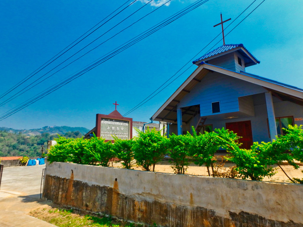
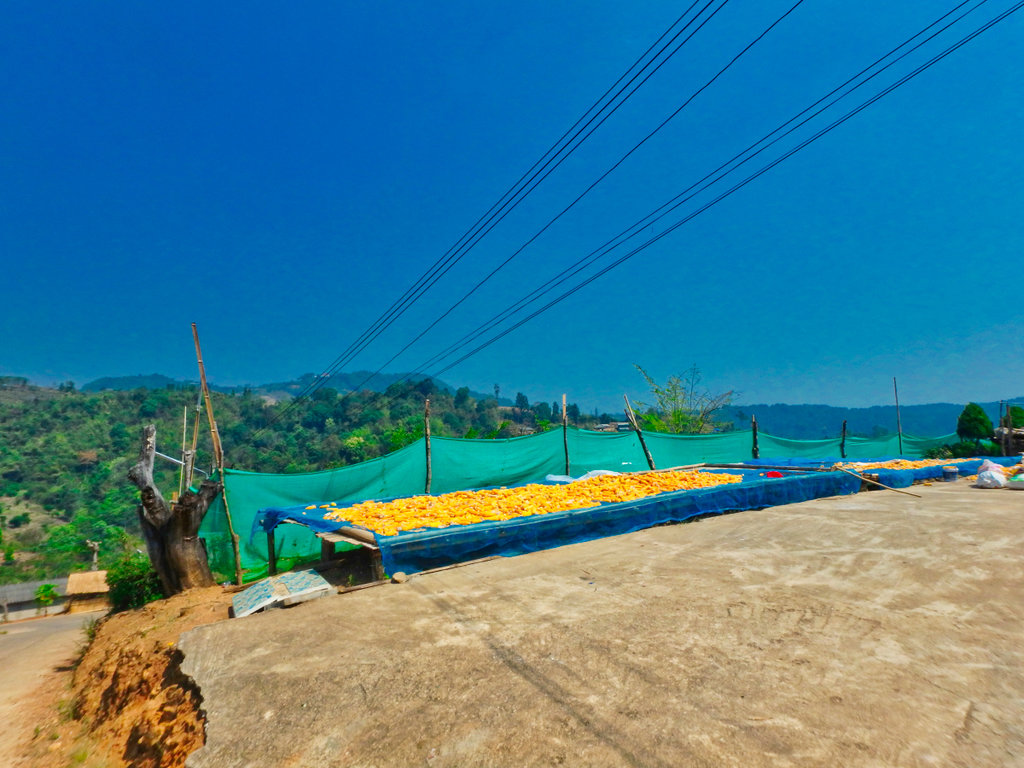
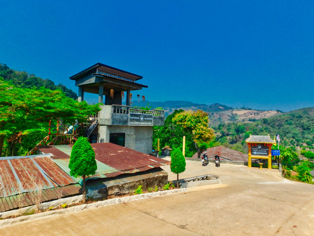
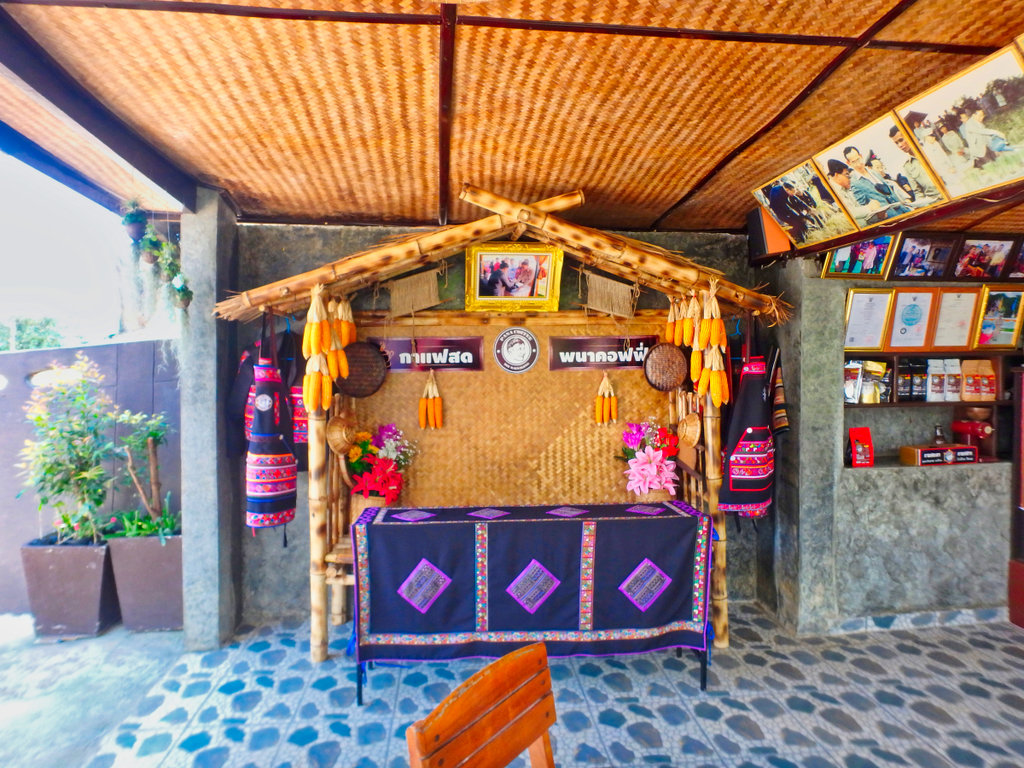
A quick stop at Pana coffee.
N20.14500° E99.64216°
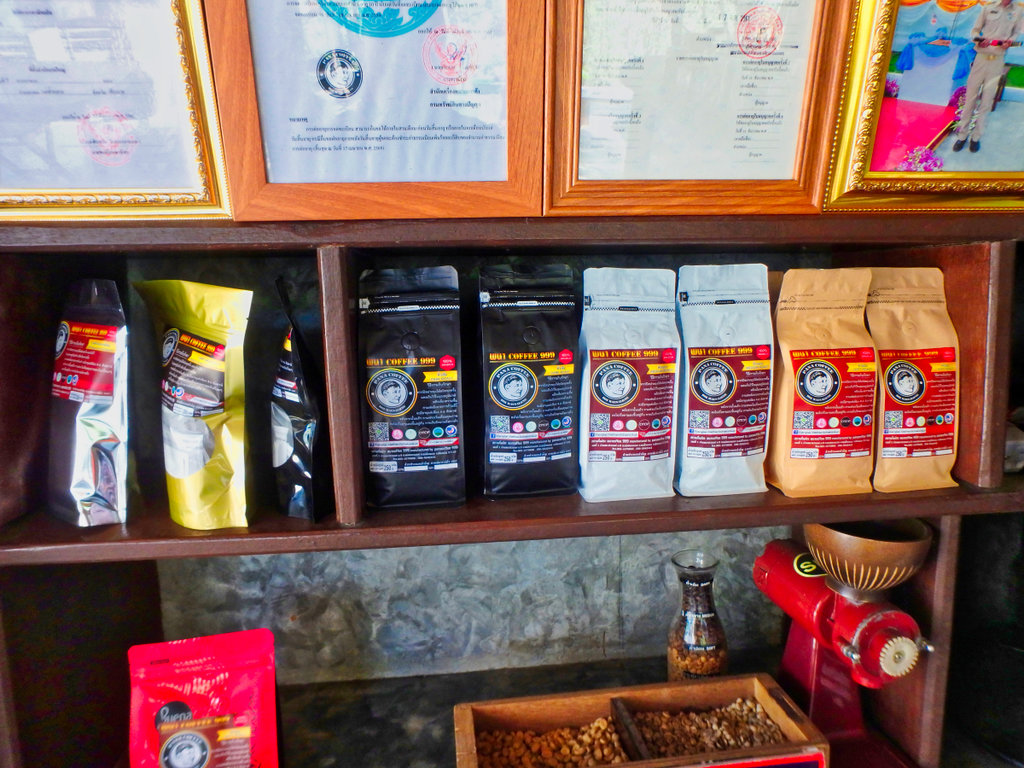
The coffee was delicious but at 200 baht for 250 grams they can keep it.
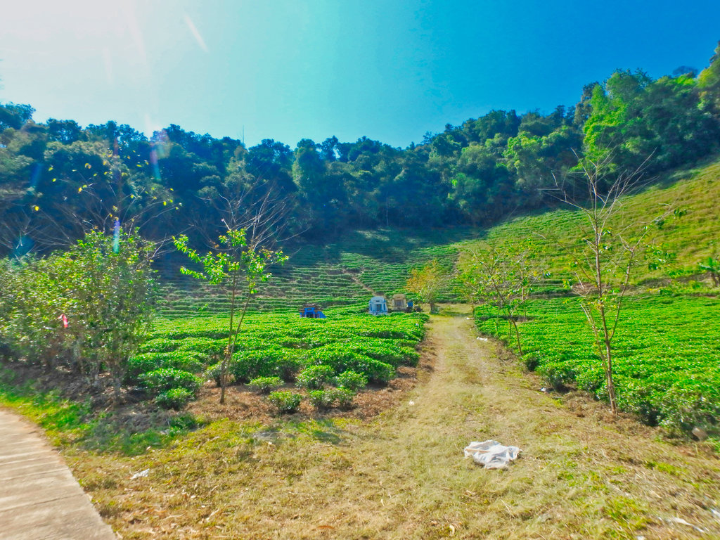
Terrace tea plantations.
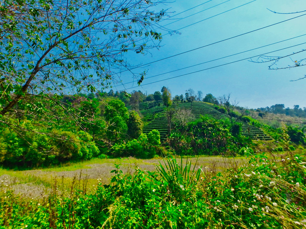
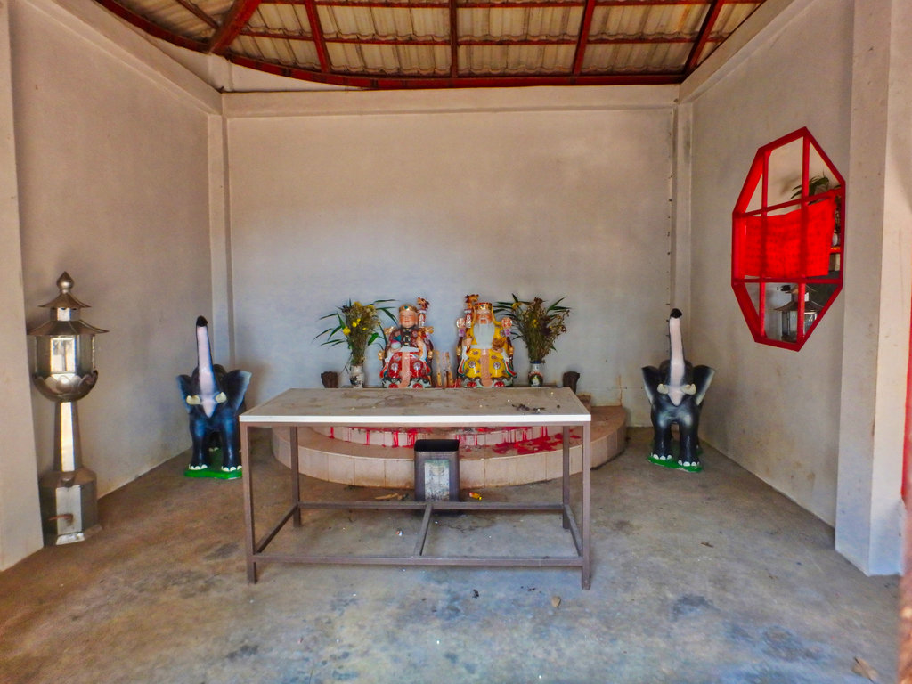
One of the many Chinese burial points all around Mae Salong.
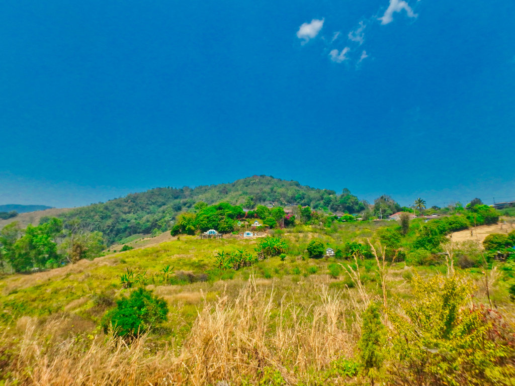
Quickly arriving in Mae Salong, time for tea and the Teapot of course.
N20.17402° E99.64100°
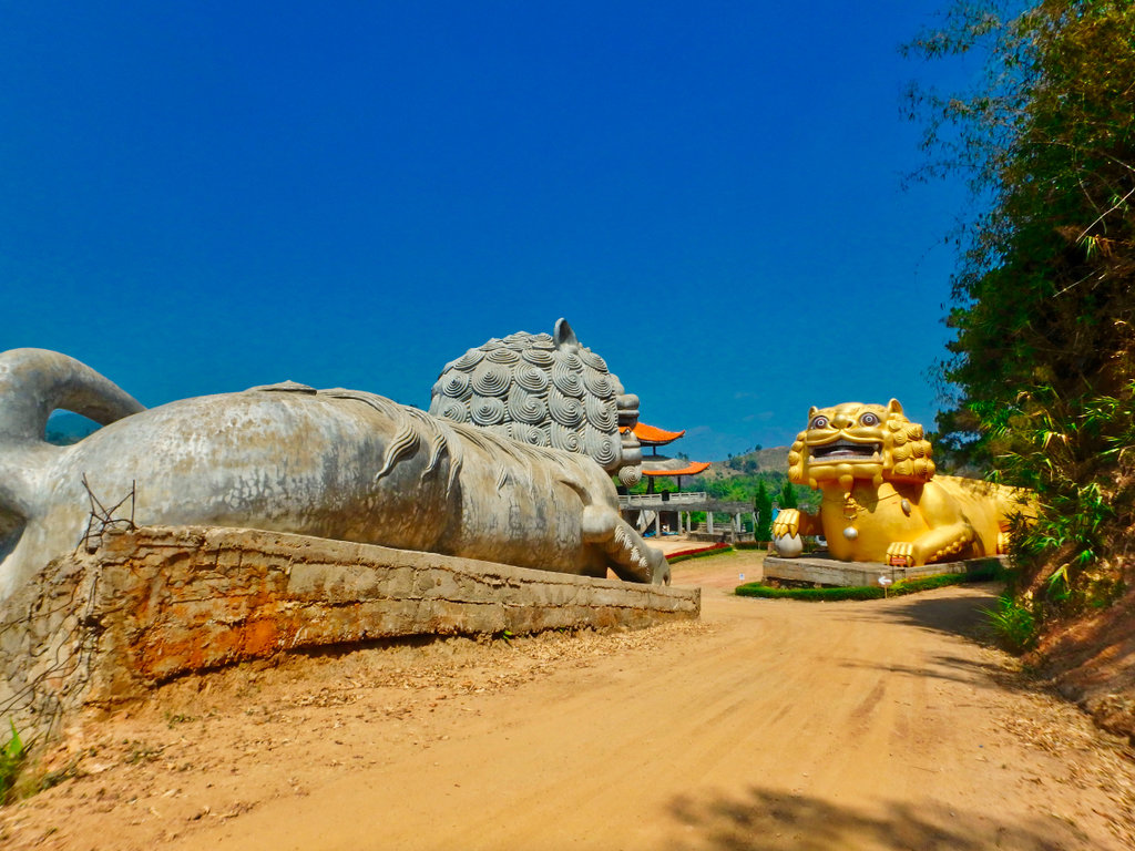
A huge amount of money has been poured into this venture but no signs and a dirt road to get here, it's often overlooked.
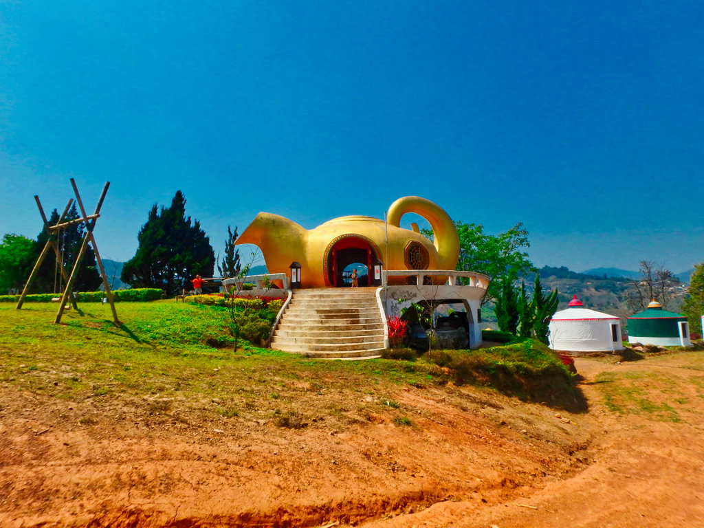
Mongolian style Yurts, all nice on the outside but inside is another story all together.
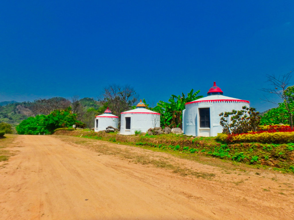
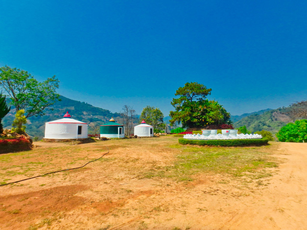
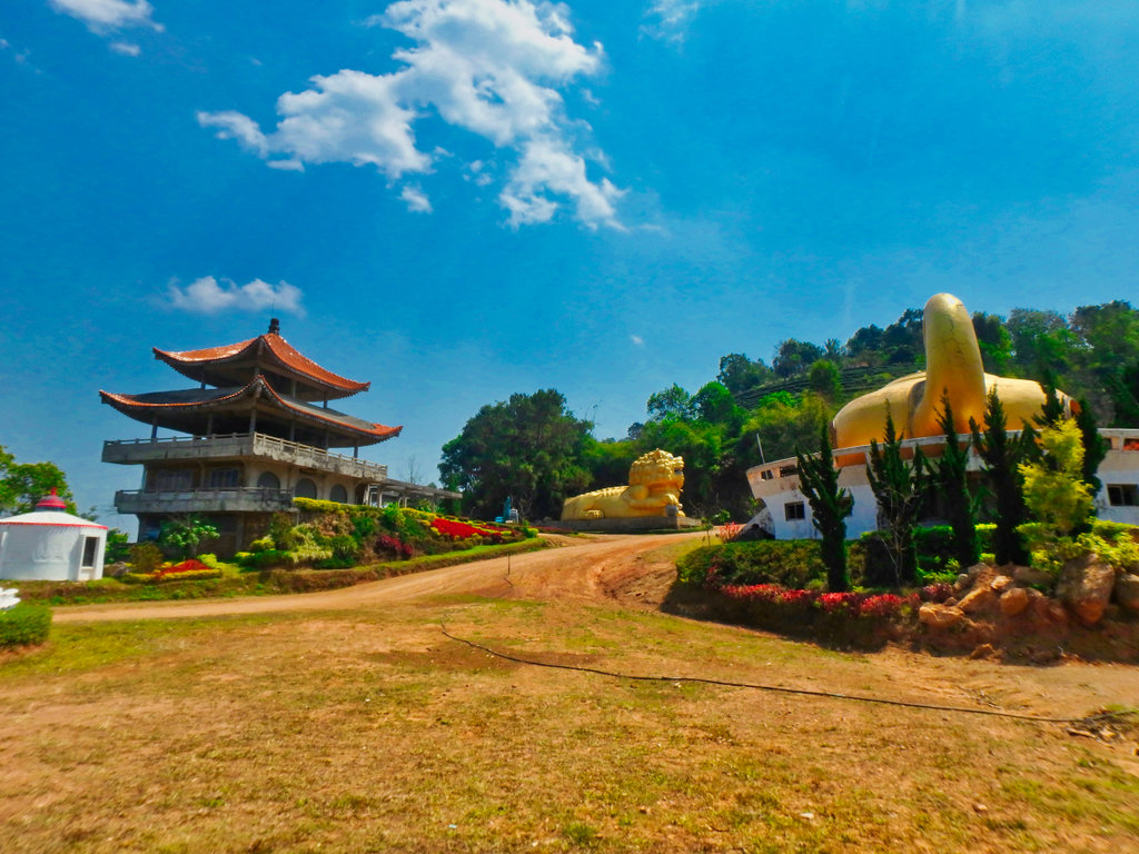
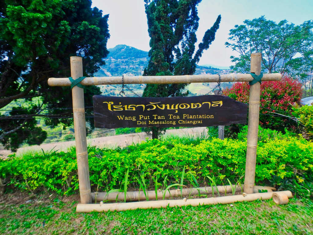
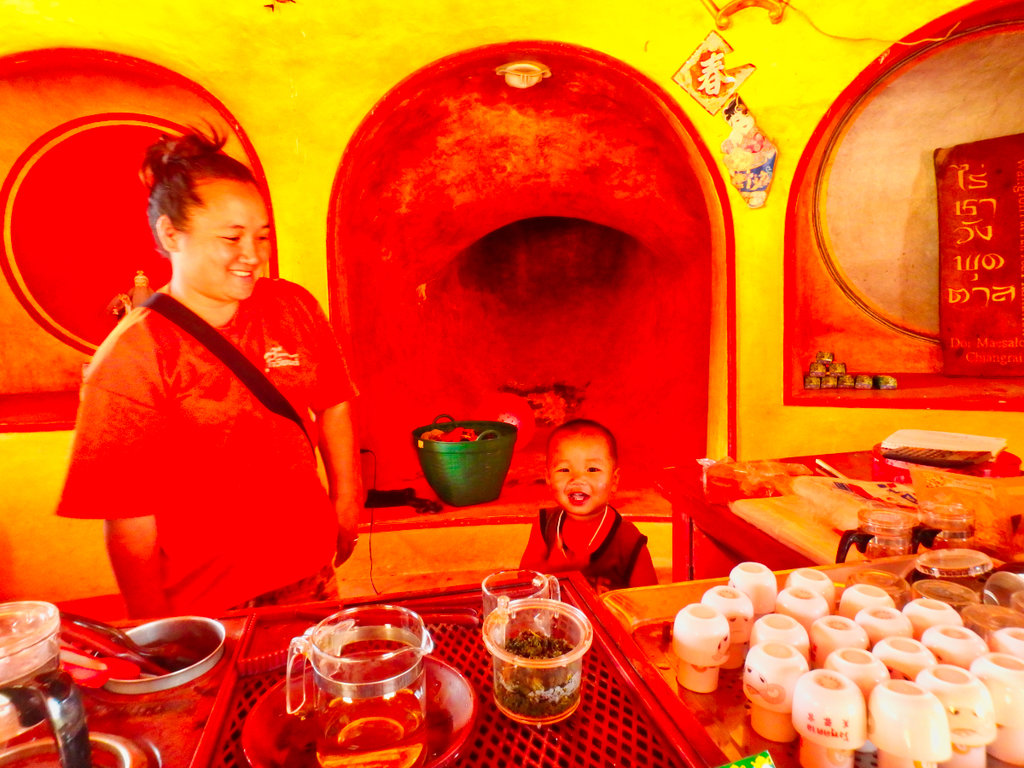
The lady running the shop was a little surprised to see me, but free tea was on offer so i tried a few.
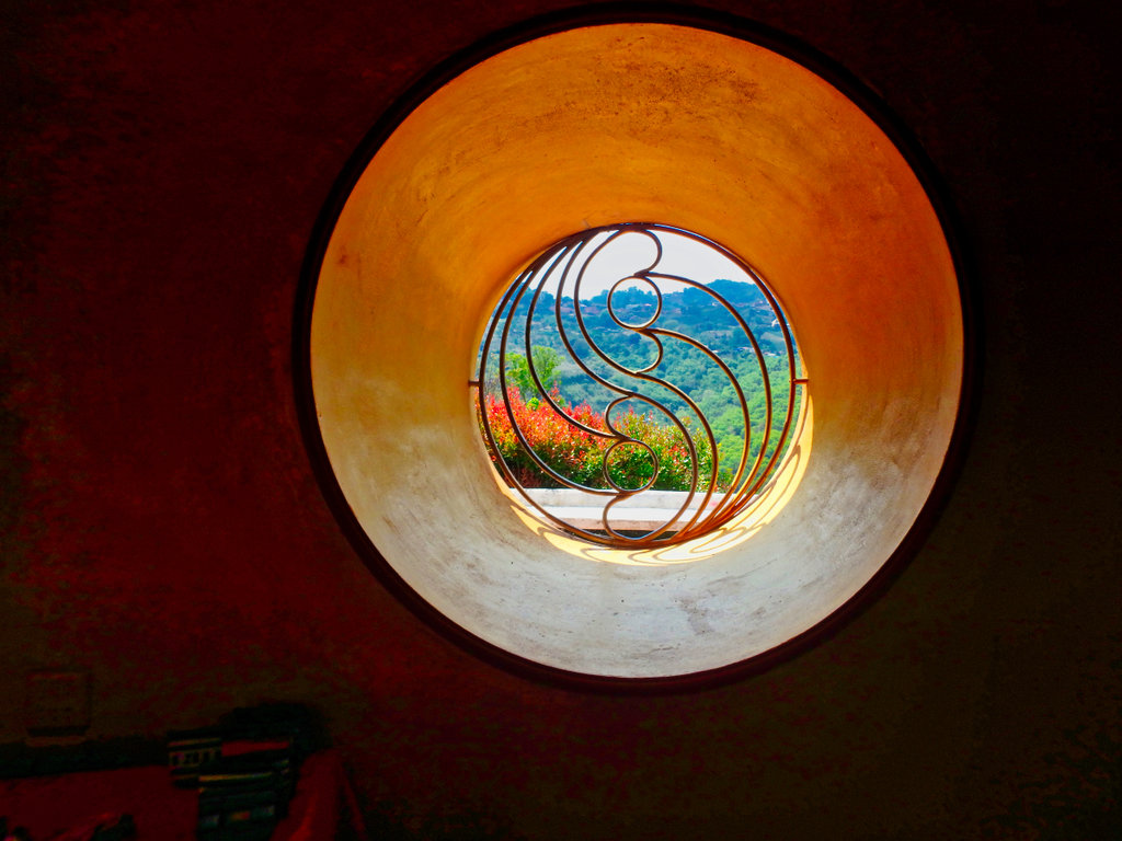
Arty shot of the day.
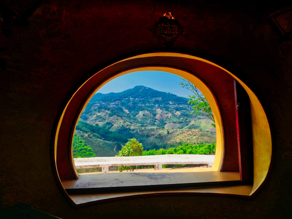
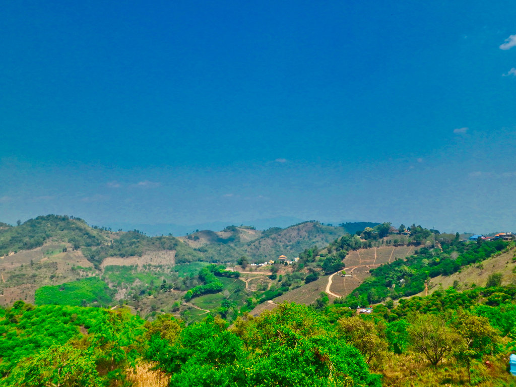
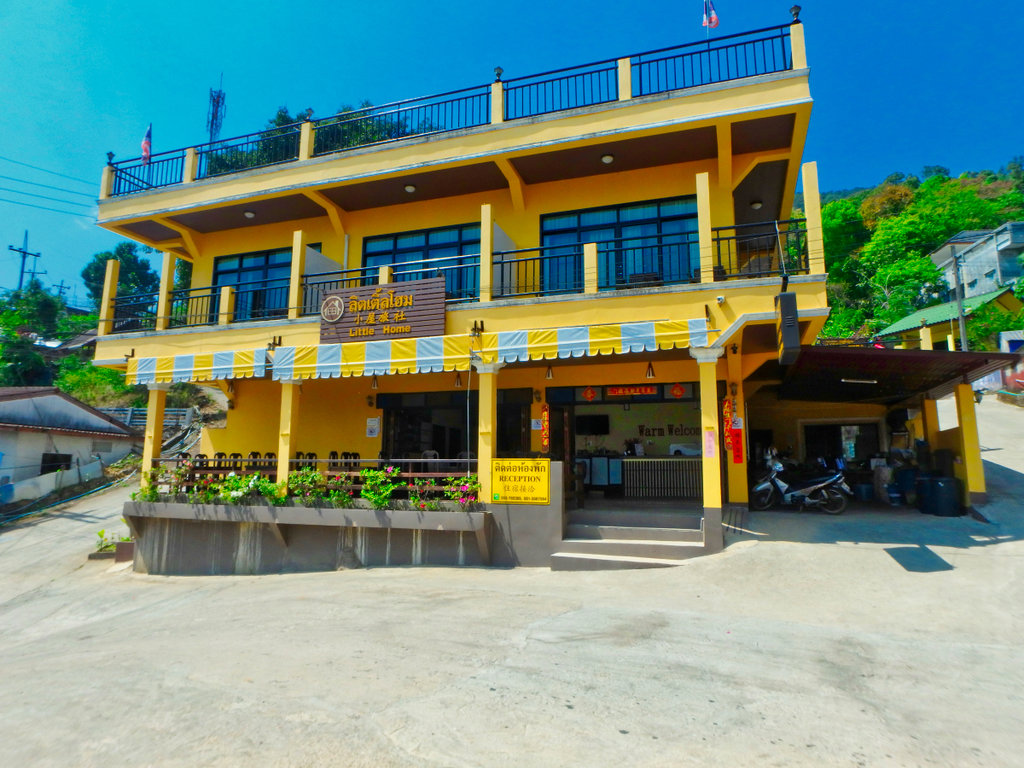
My Home has had a face lift and so have the prices !!
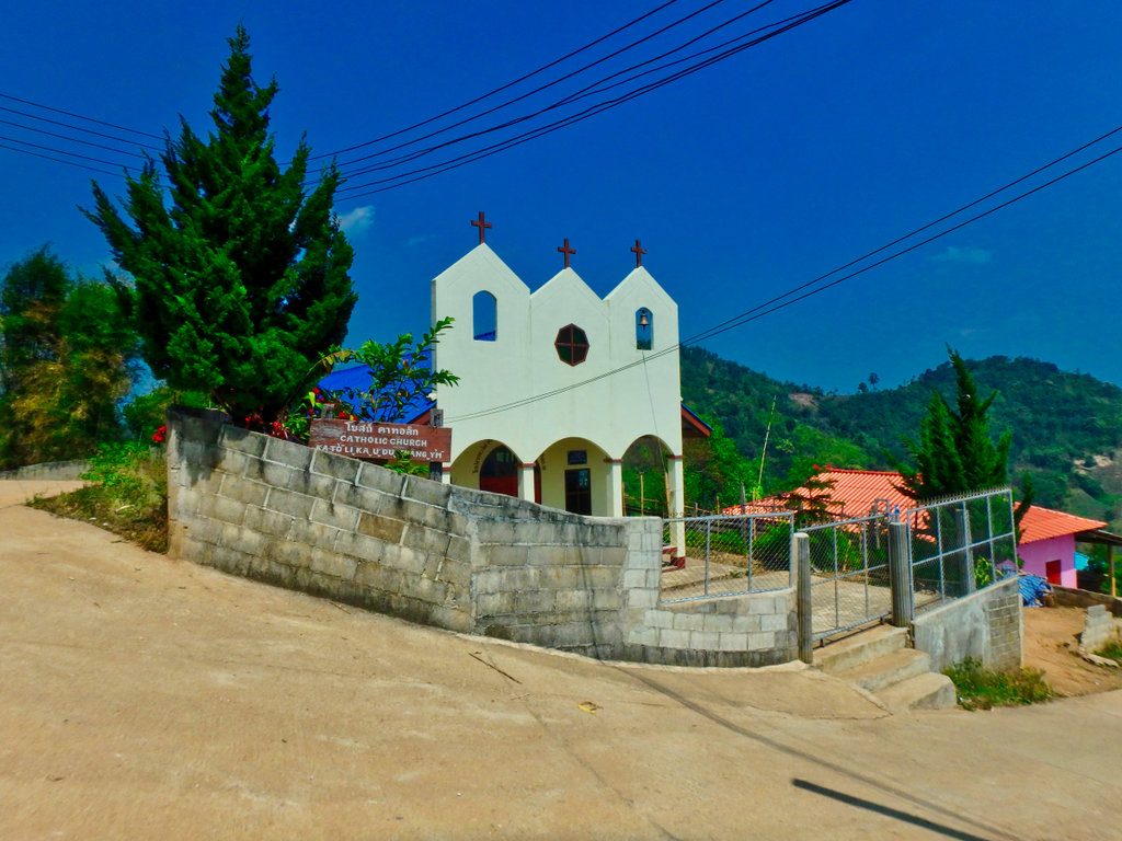
Heading north out of town another Catholic church.
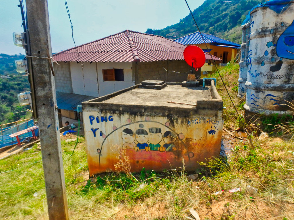
Wall art, kind of.
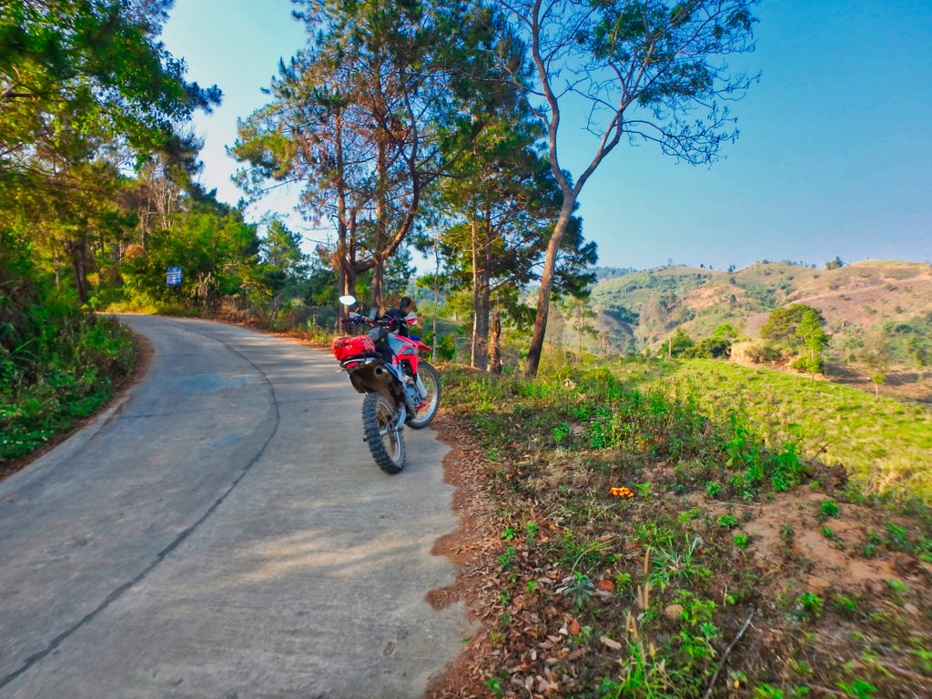
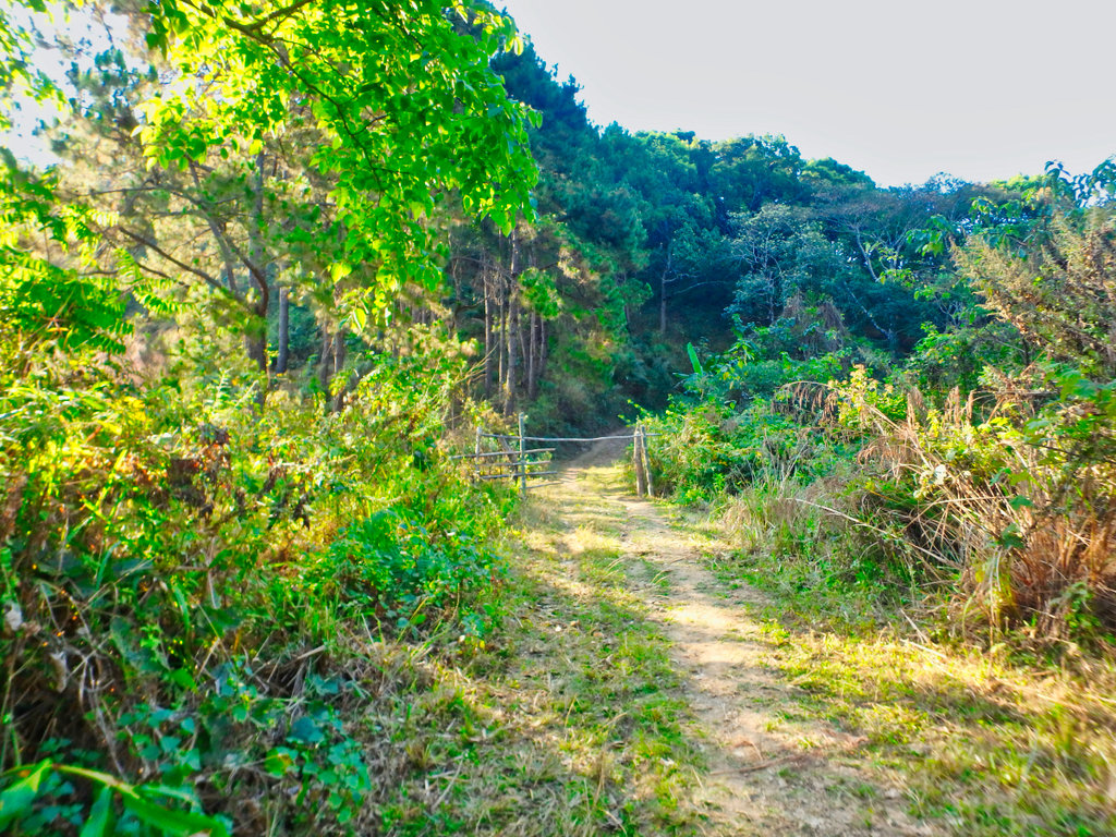
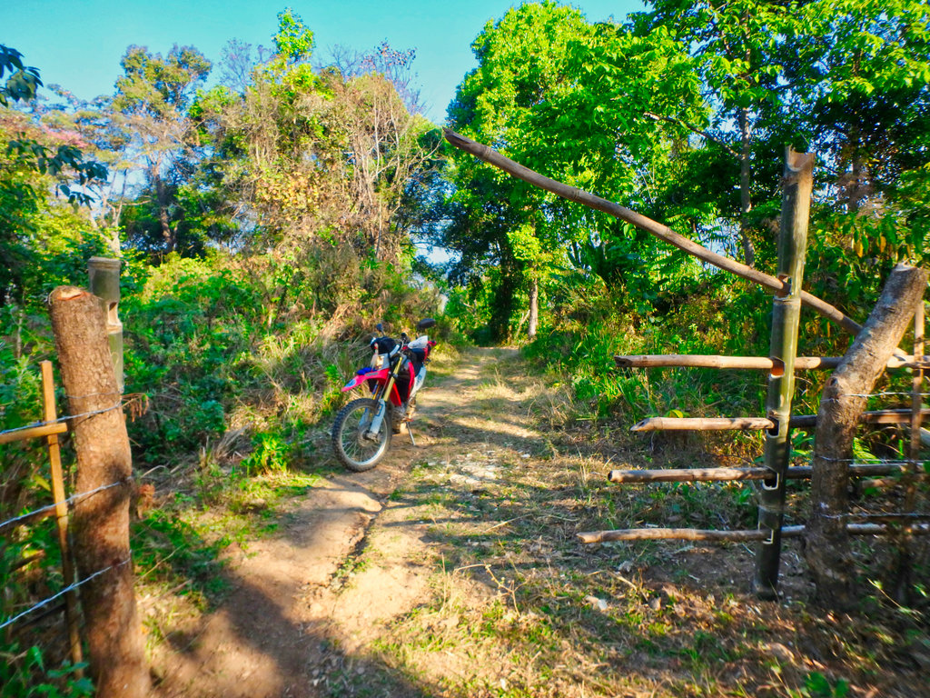
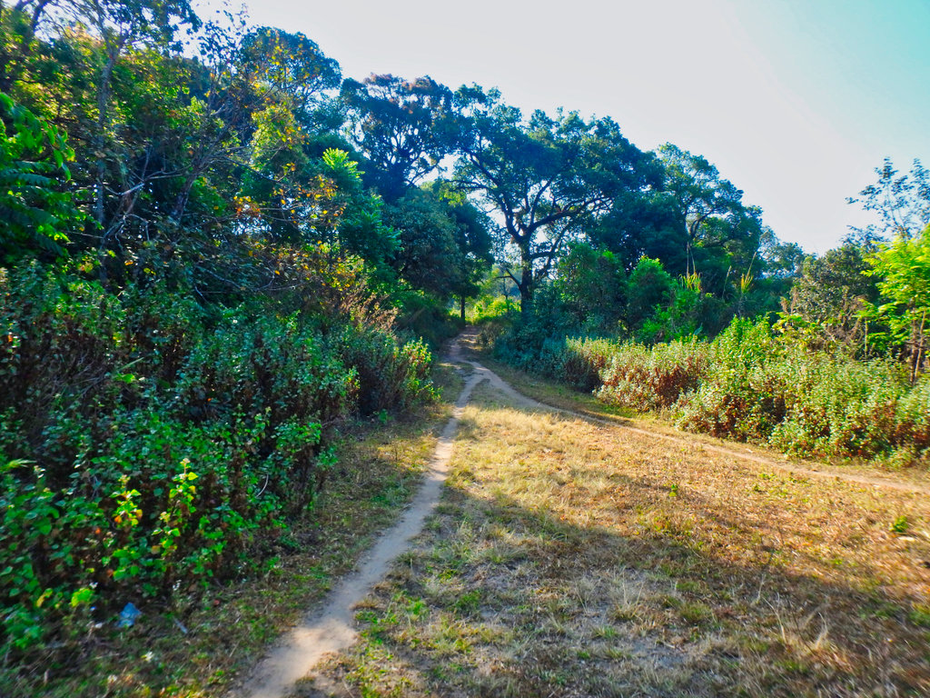
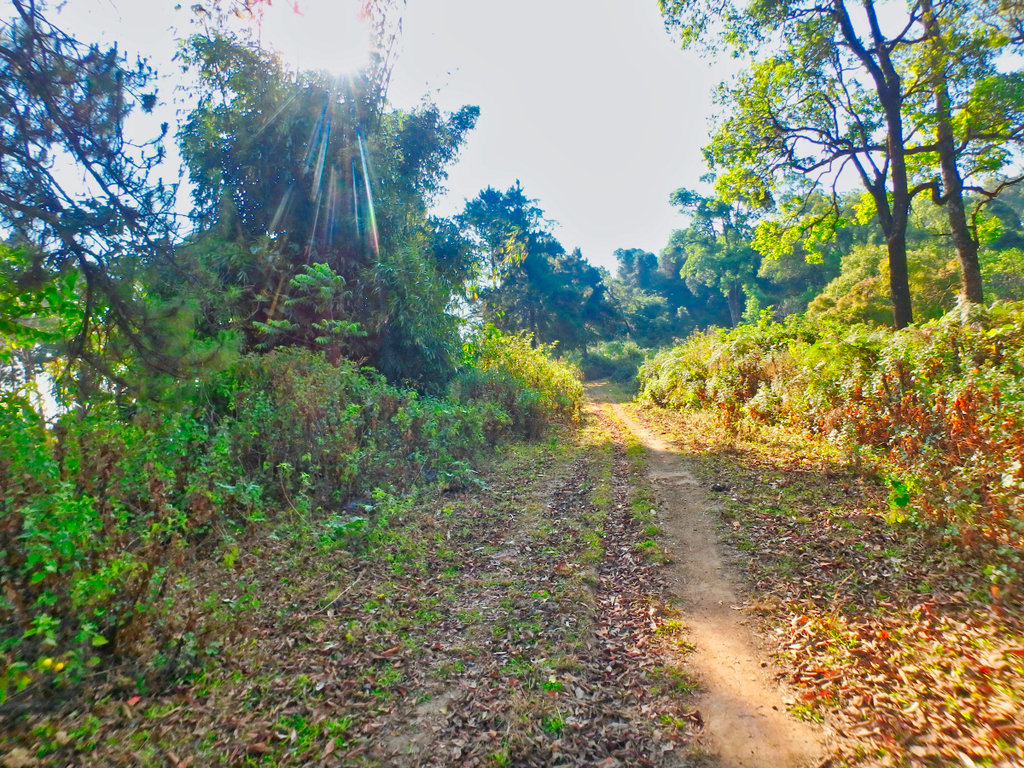
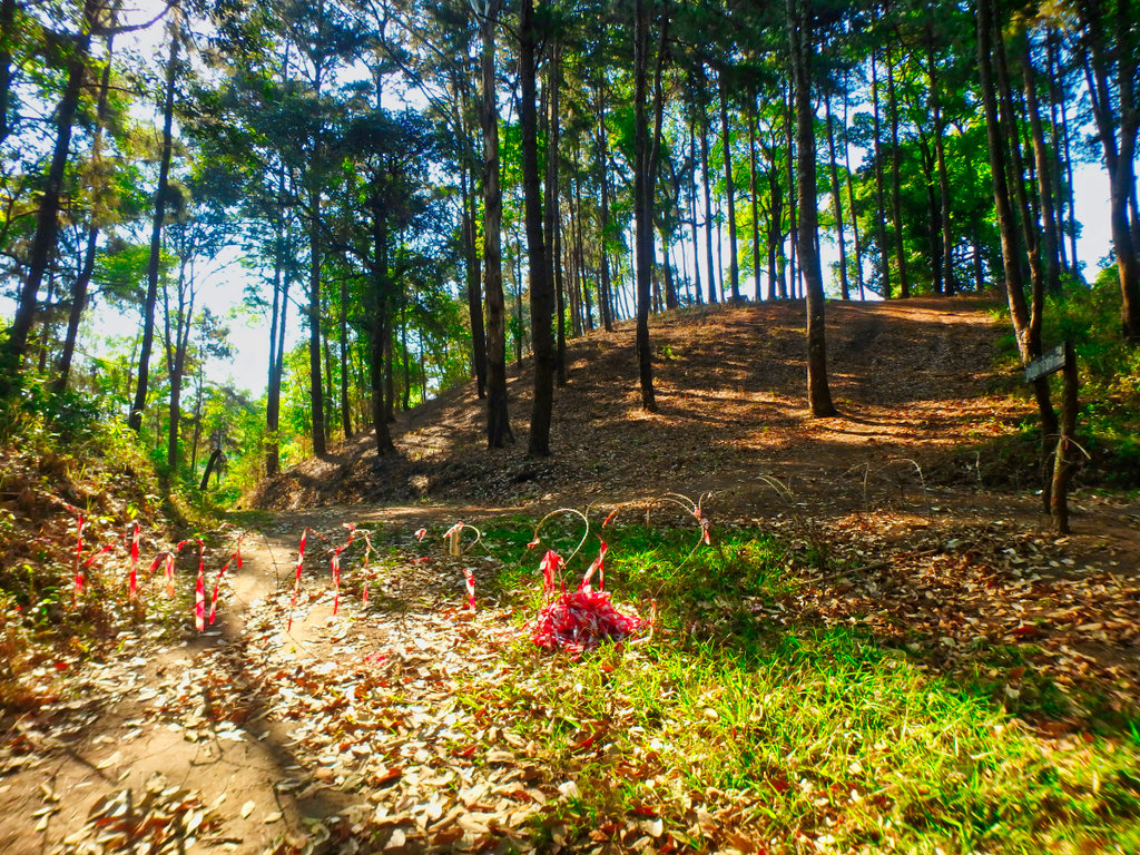
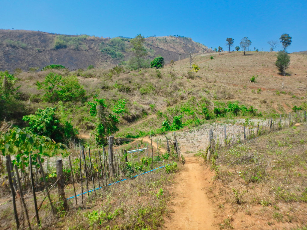
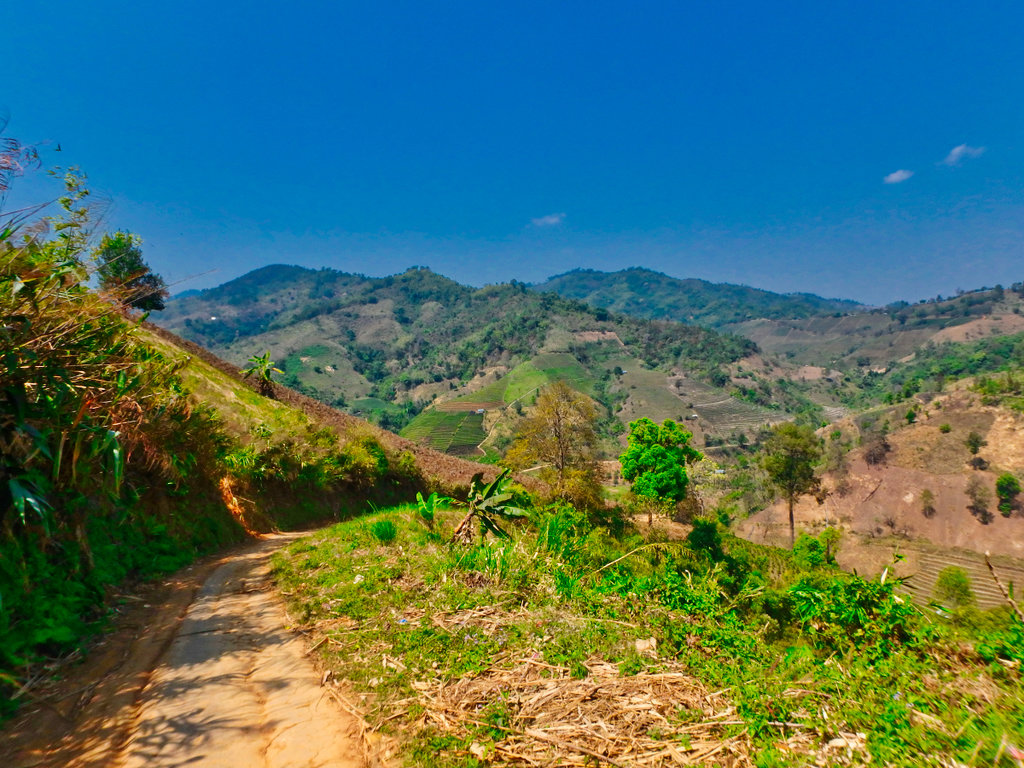
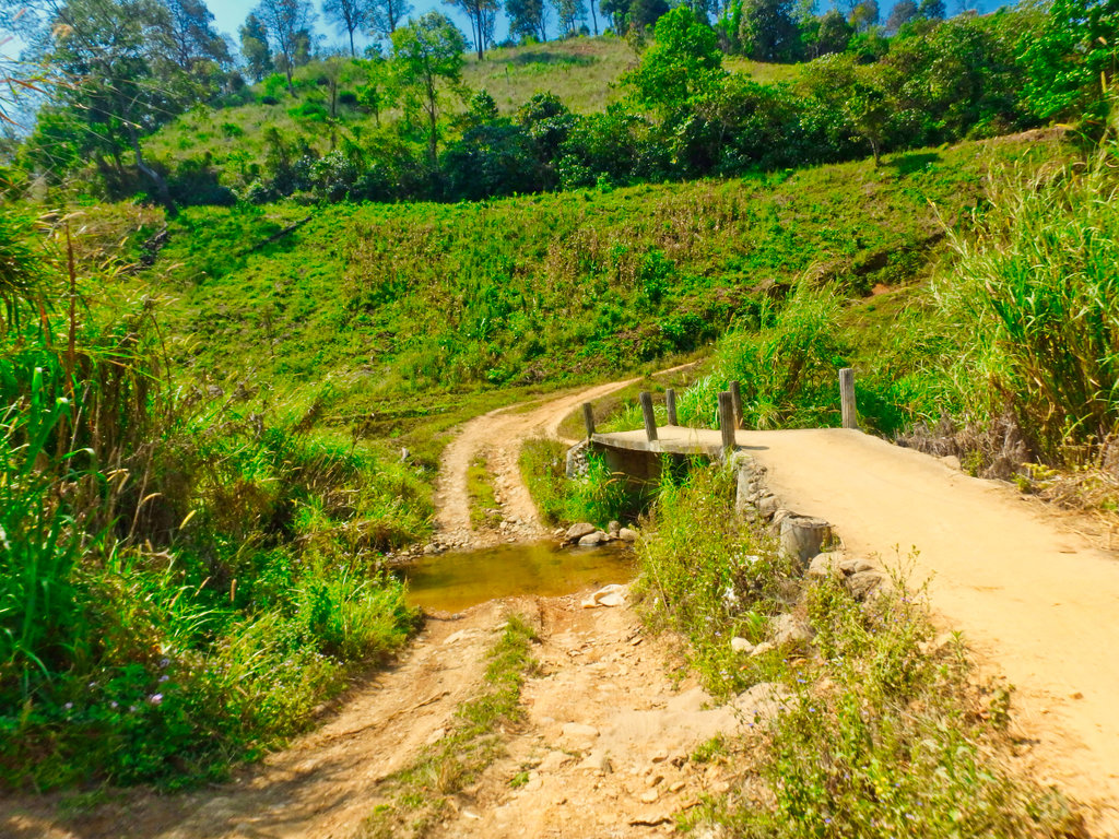
I had expected this trail to all paved, thankfully the concrete has not reached it yet.
Tea everywhere, it does make for nice pictures.
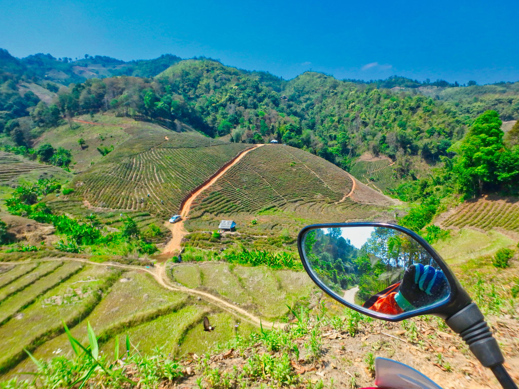
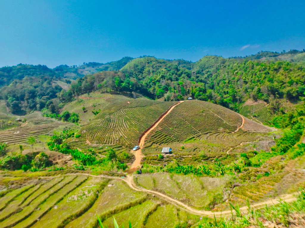
Not sure which tea this is but it smells great.
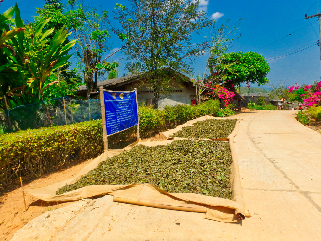
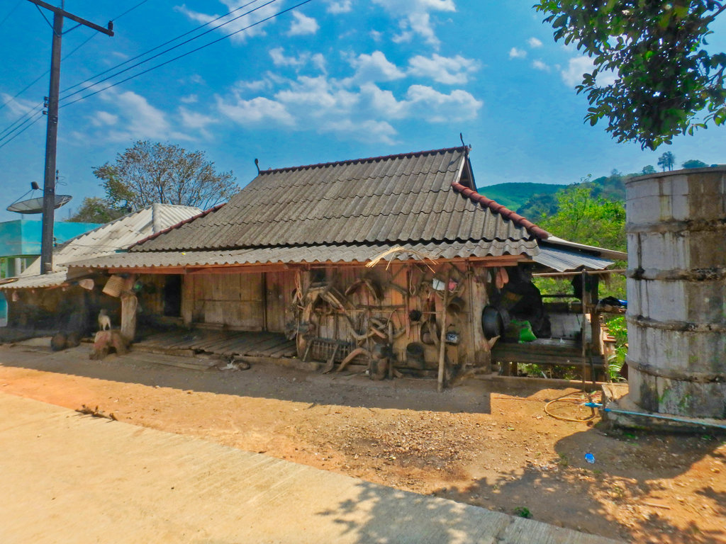
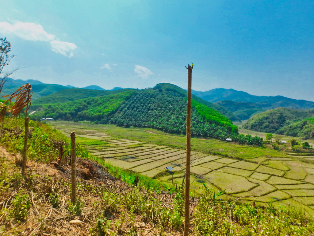
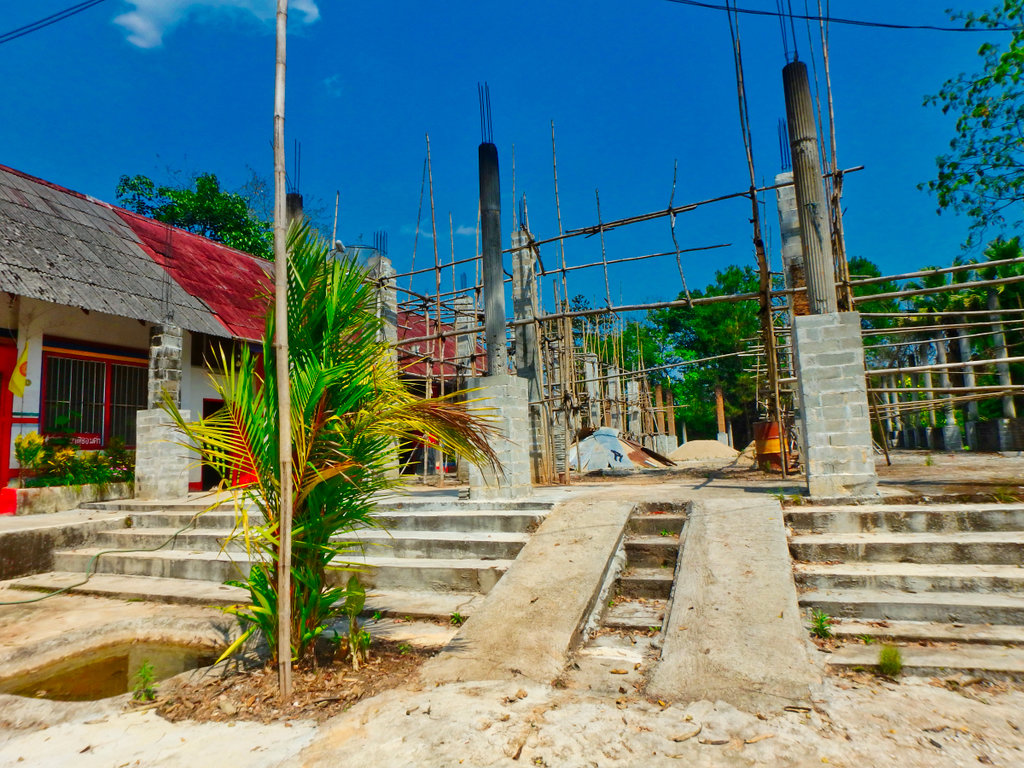
"Chao Bun Yuen Meditation Center" Looks like it being converted to a wat.
N20.22102° E99.65870°
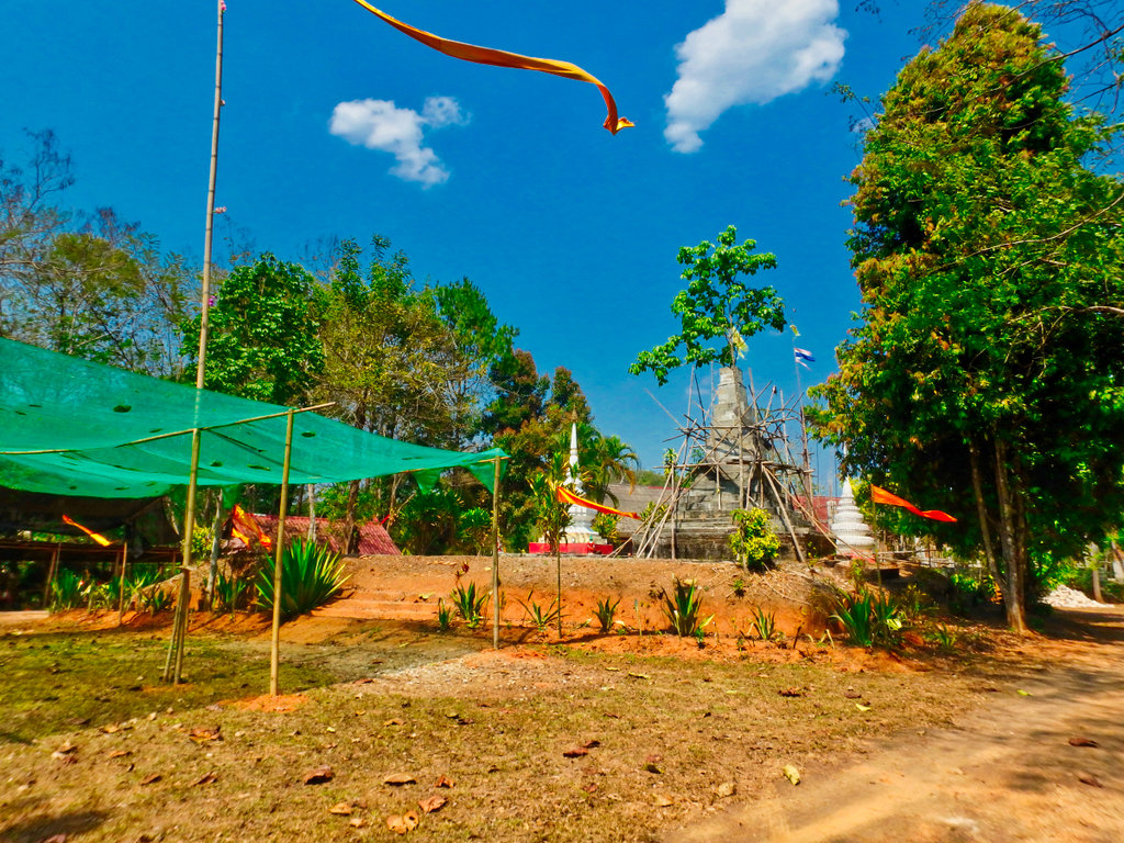
Looks like progress is slow.
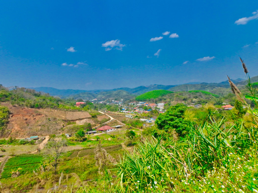
Theod Thai coming into view.
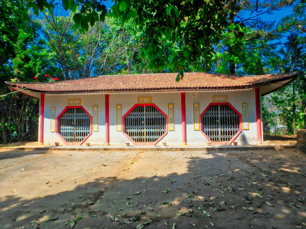
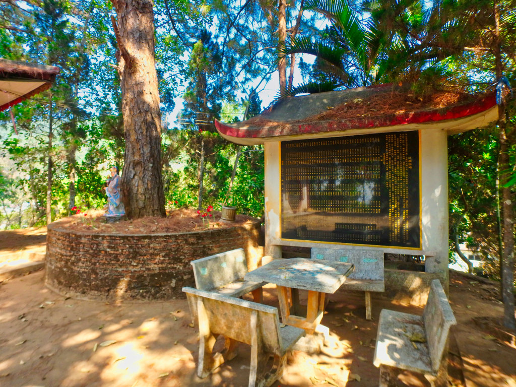
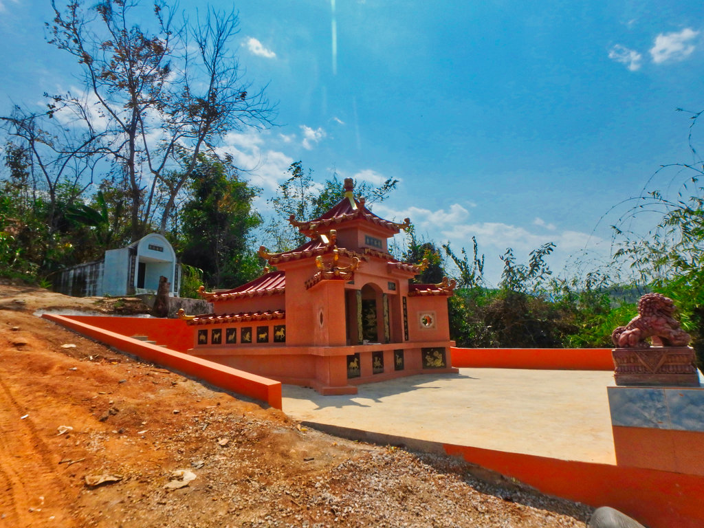
Since i arrived well ahead of time a quick poke arpund one of the Chinese cemetaries then make a loop to the border.
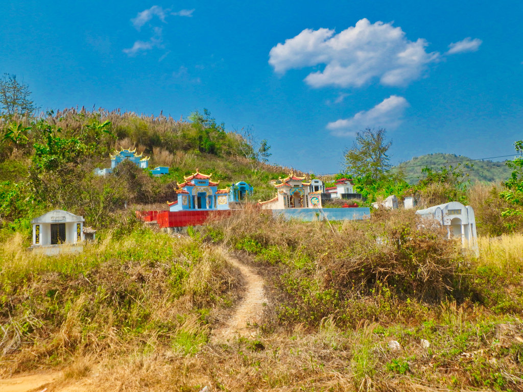
One of the nicer plots.
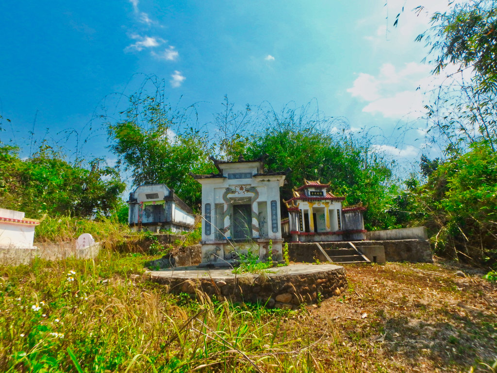
Cant be said for the rest as its all overgrownh.
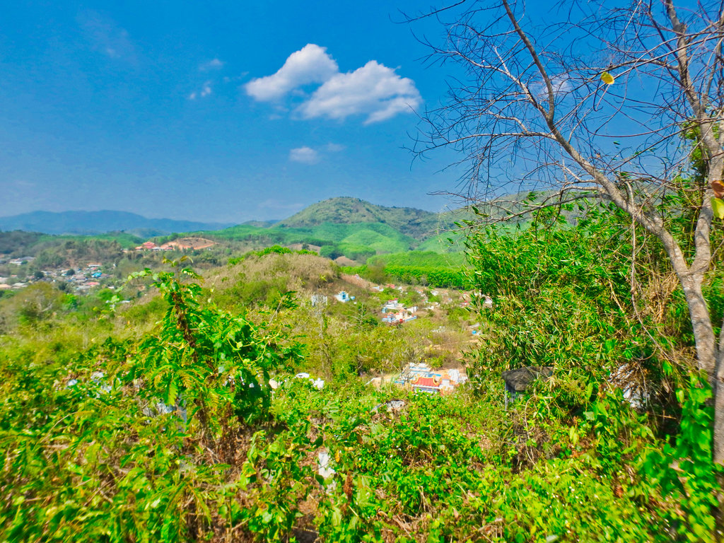
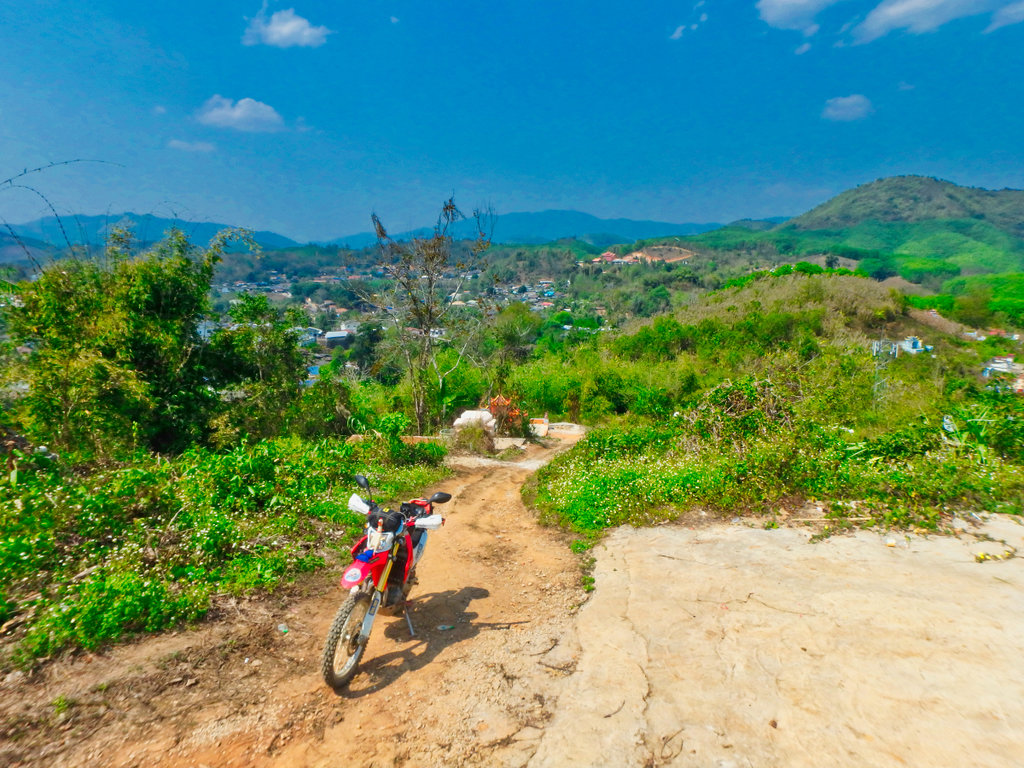
Heading out on the 4032 border bound.
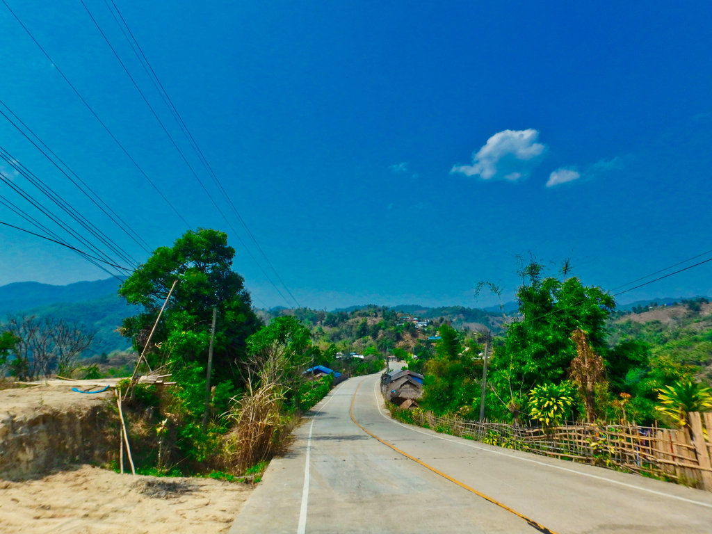
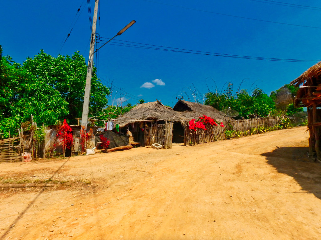
So many small villages around all hugging the hillsides.
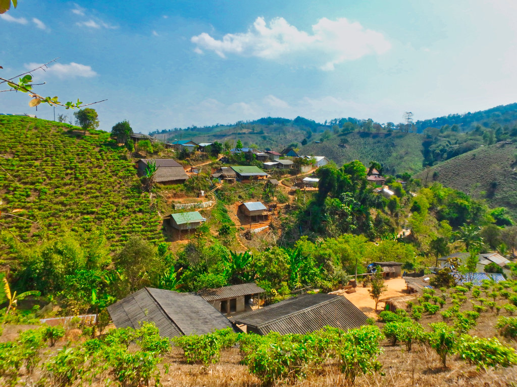
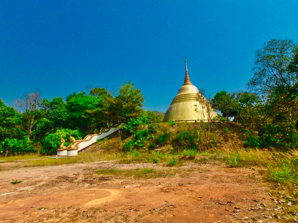
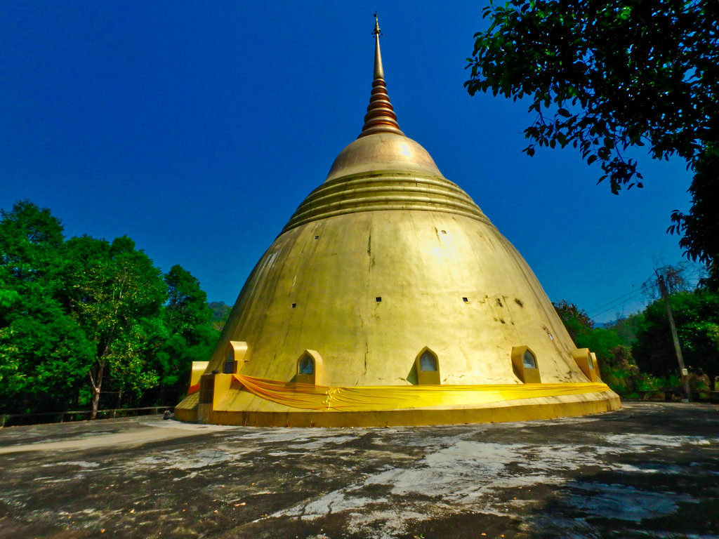
Stupa getting a facelift.
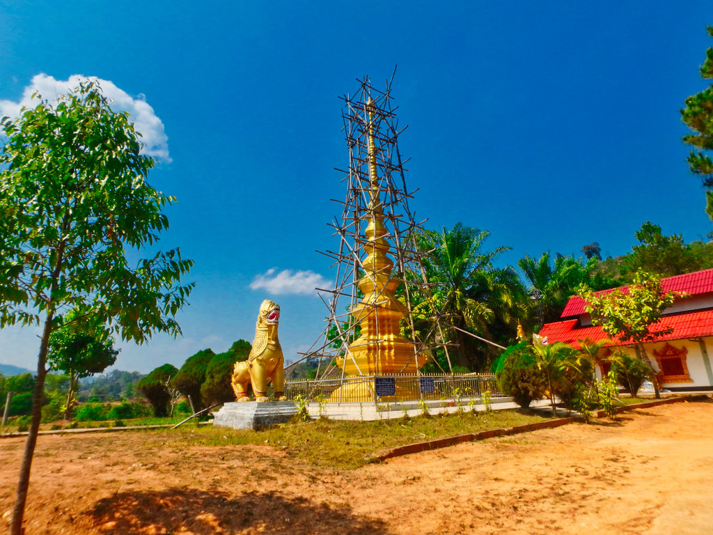
Not sure why the Buddha is covered up this way.
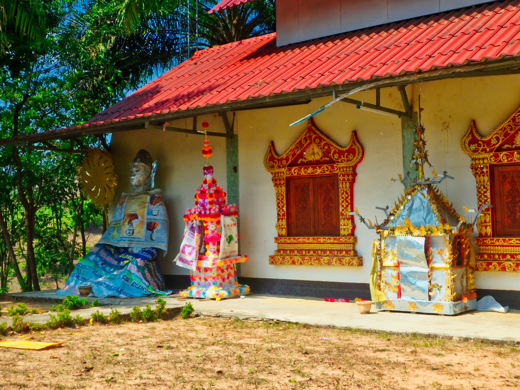
Missed a bit top apex, need a longer ladder.
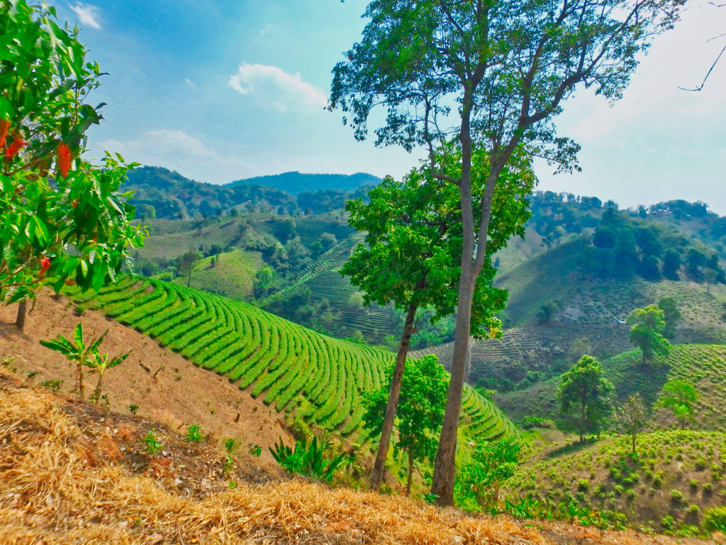
Stunning tea terraces everywhere now.
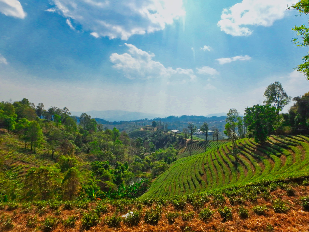
You can see the soldier heading towards the gate at this local border point, he wasn't going to alow me to take pictures, opp's too late.
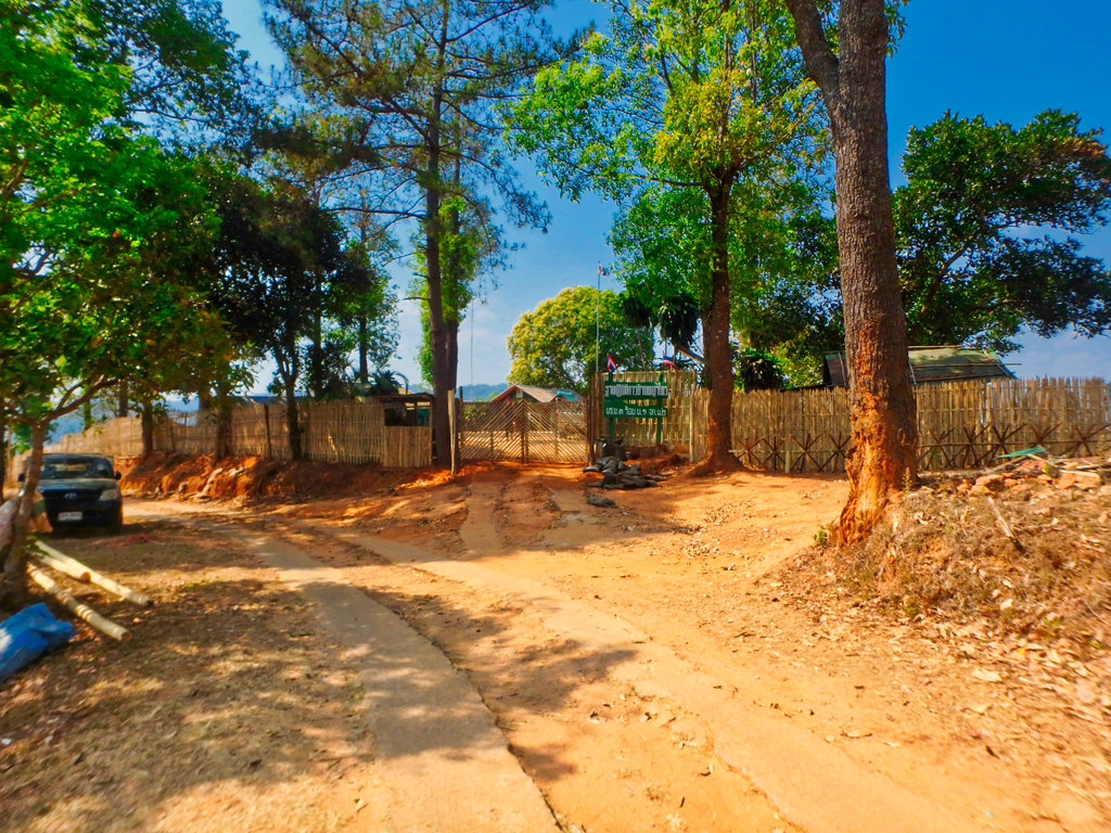
The Mayanmar point just 100 metres away for the Thai camp, i did consider walking down but guess i pissed off the soldier enough already.
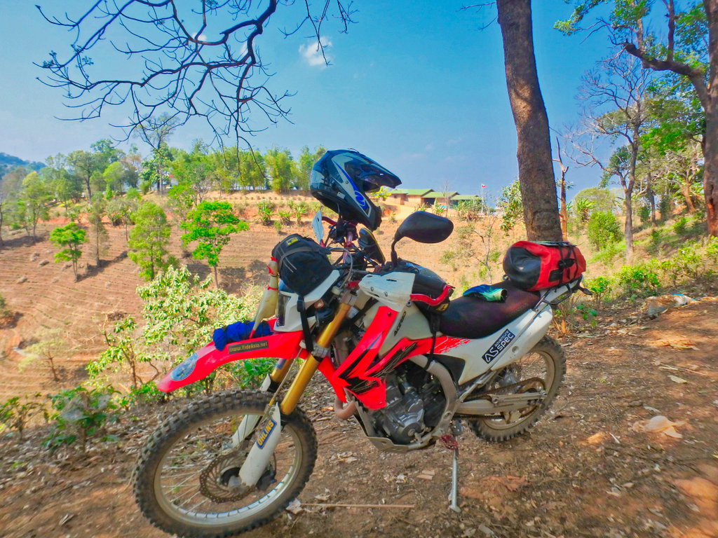
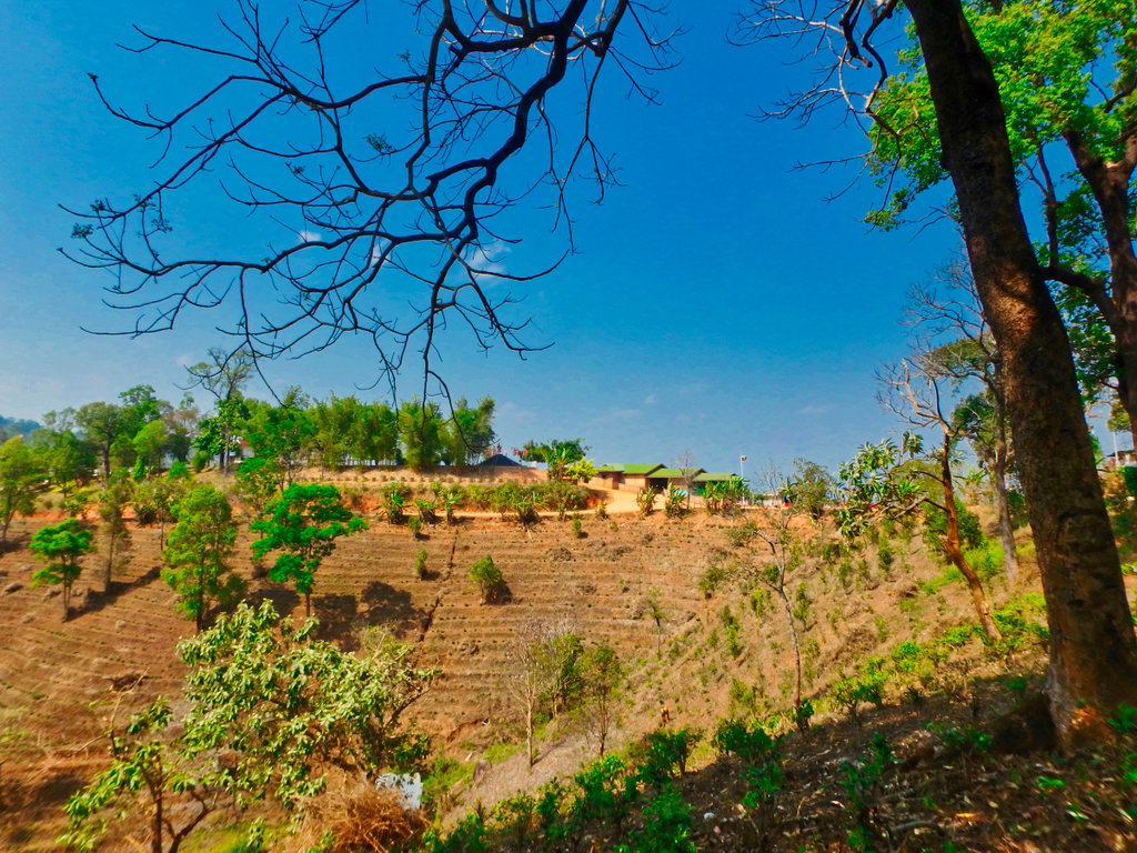
This is obviously a big commercial tea plantation, everything is manicured perfectly.
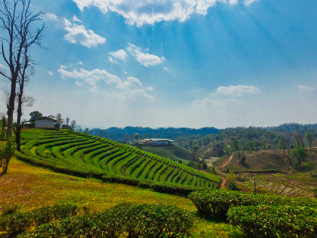
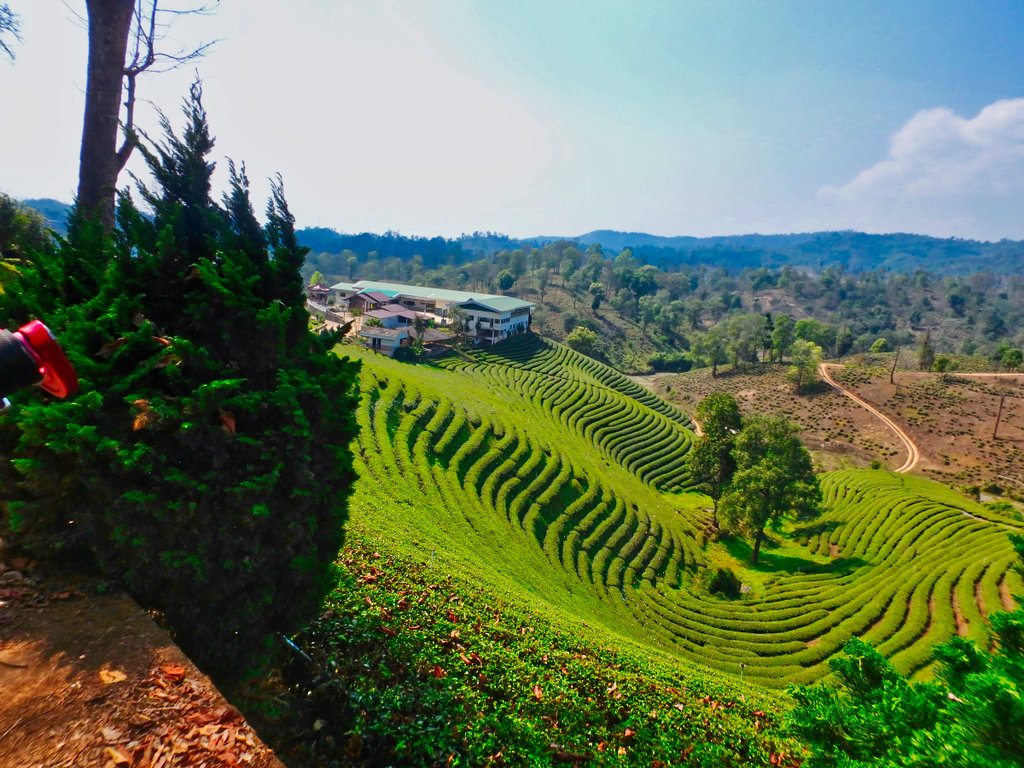
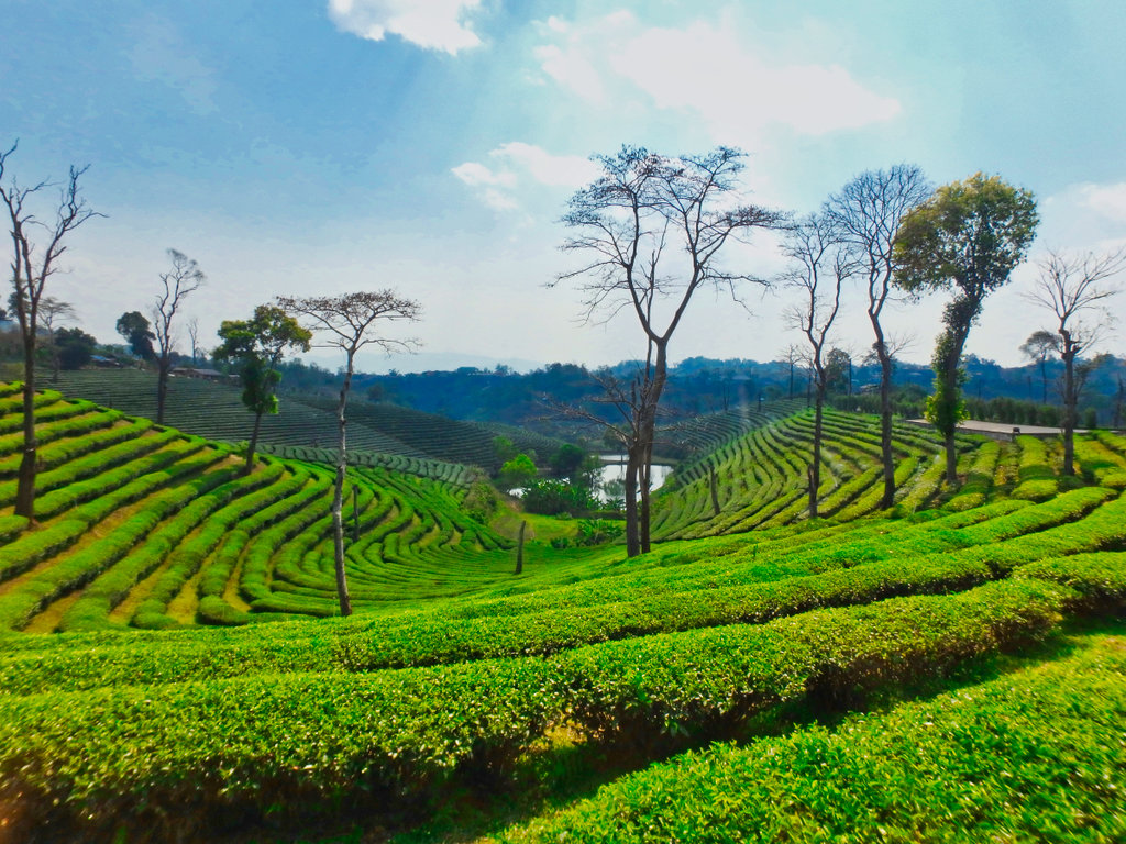
It was hot as hell by now, a nice swim would have been a good idea.
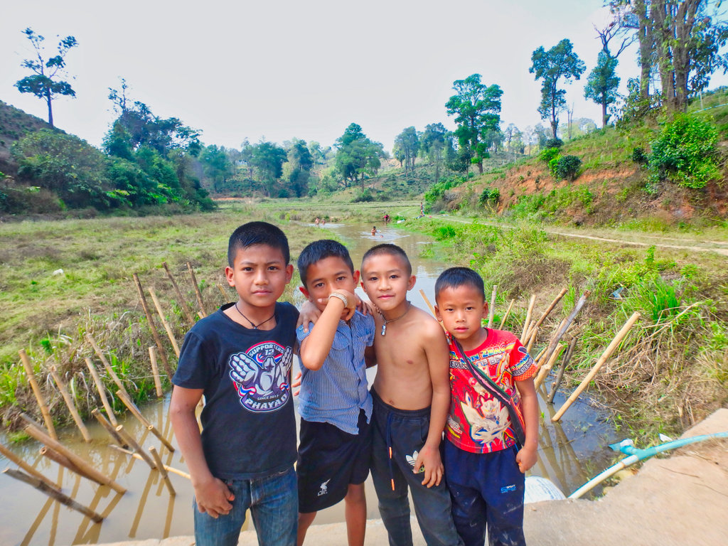
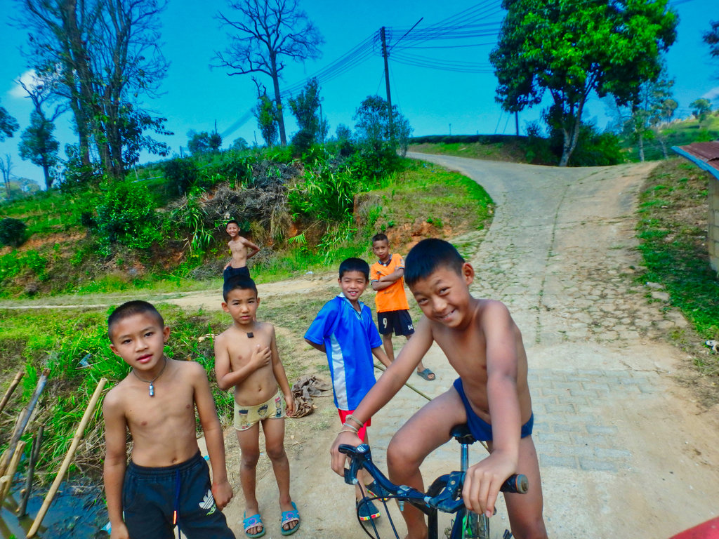
A happy famer drying his tea leaves.
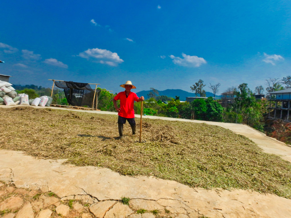
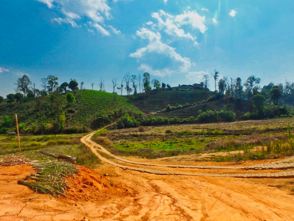
Heading up to another border camp, Mynamar army in the distance.
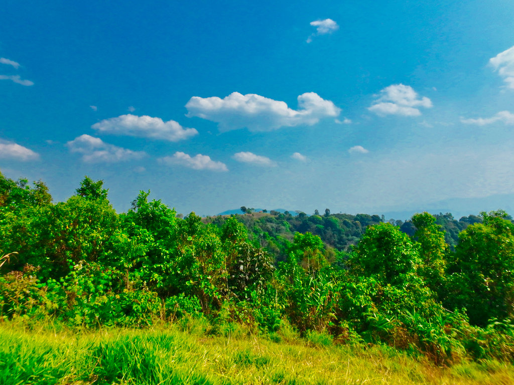
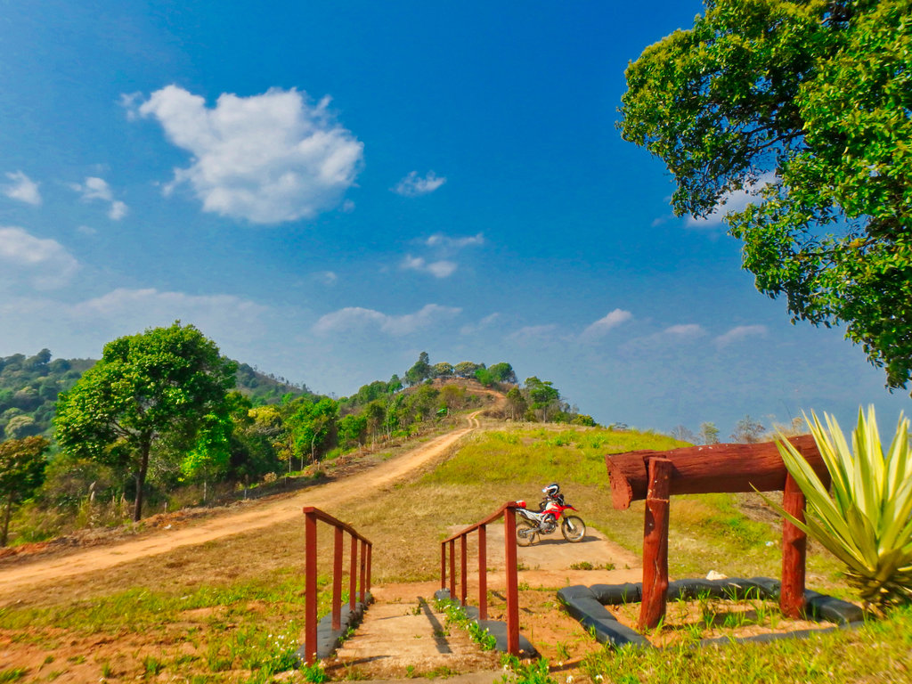
Trail end a large Thai army camp and several helipads, time to turn around.
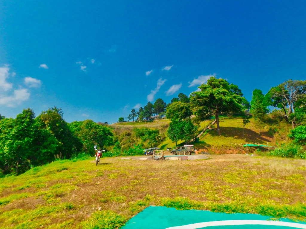
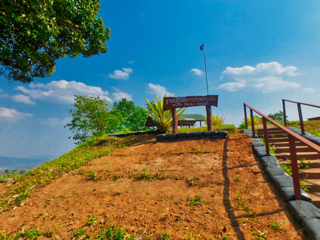
The camp in the distance i had just turned away from, this smaller one was abandoned for now.
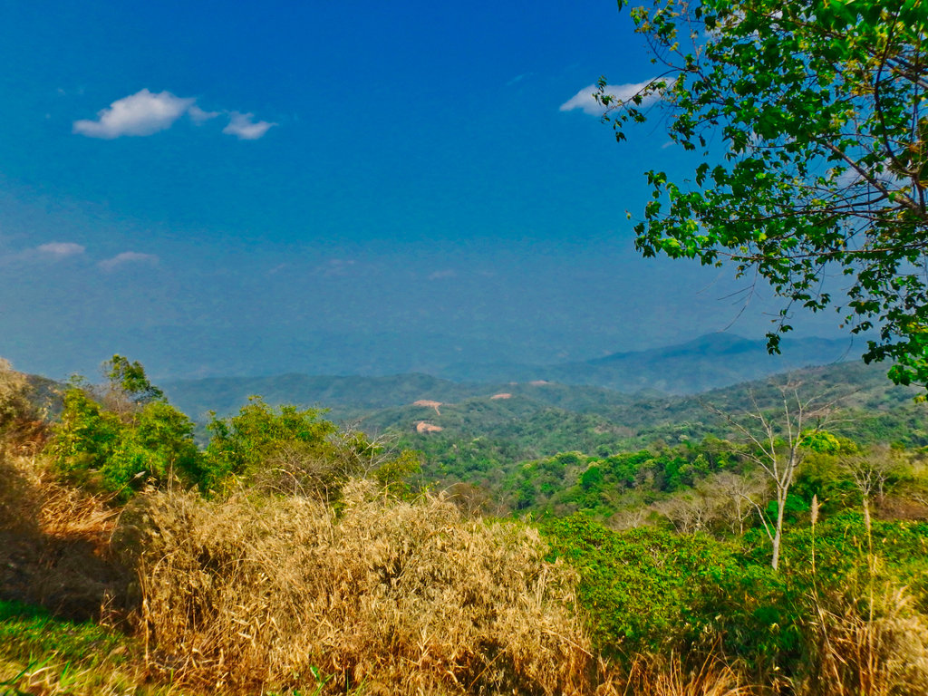
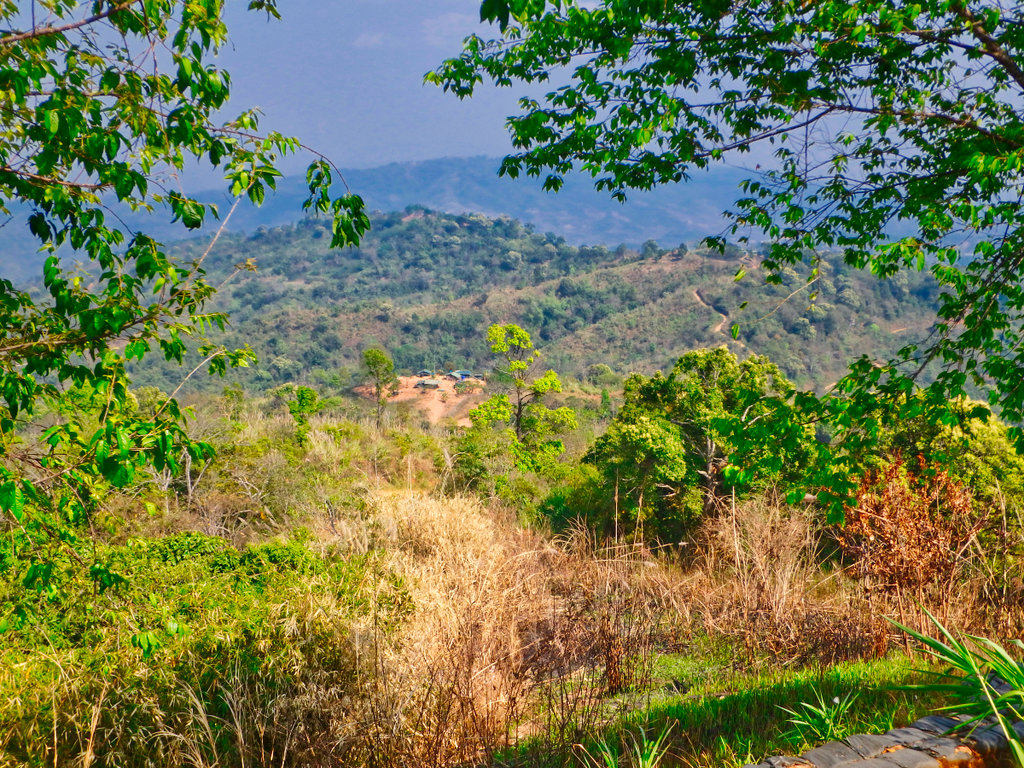
Several small Myanmar camps in the distance.
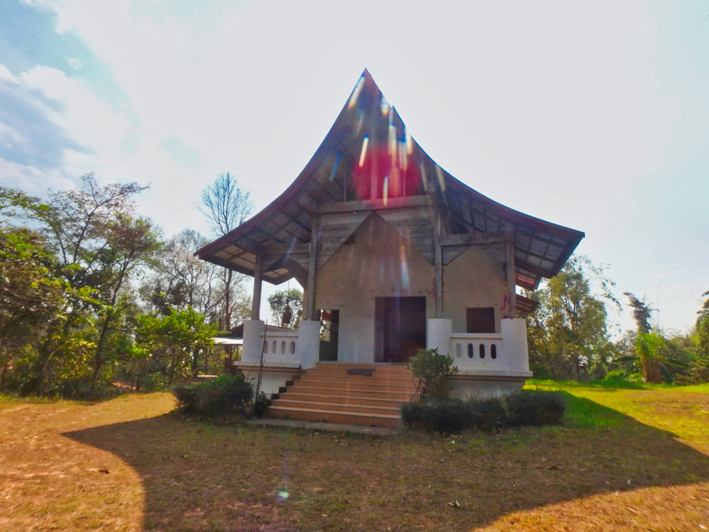
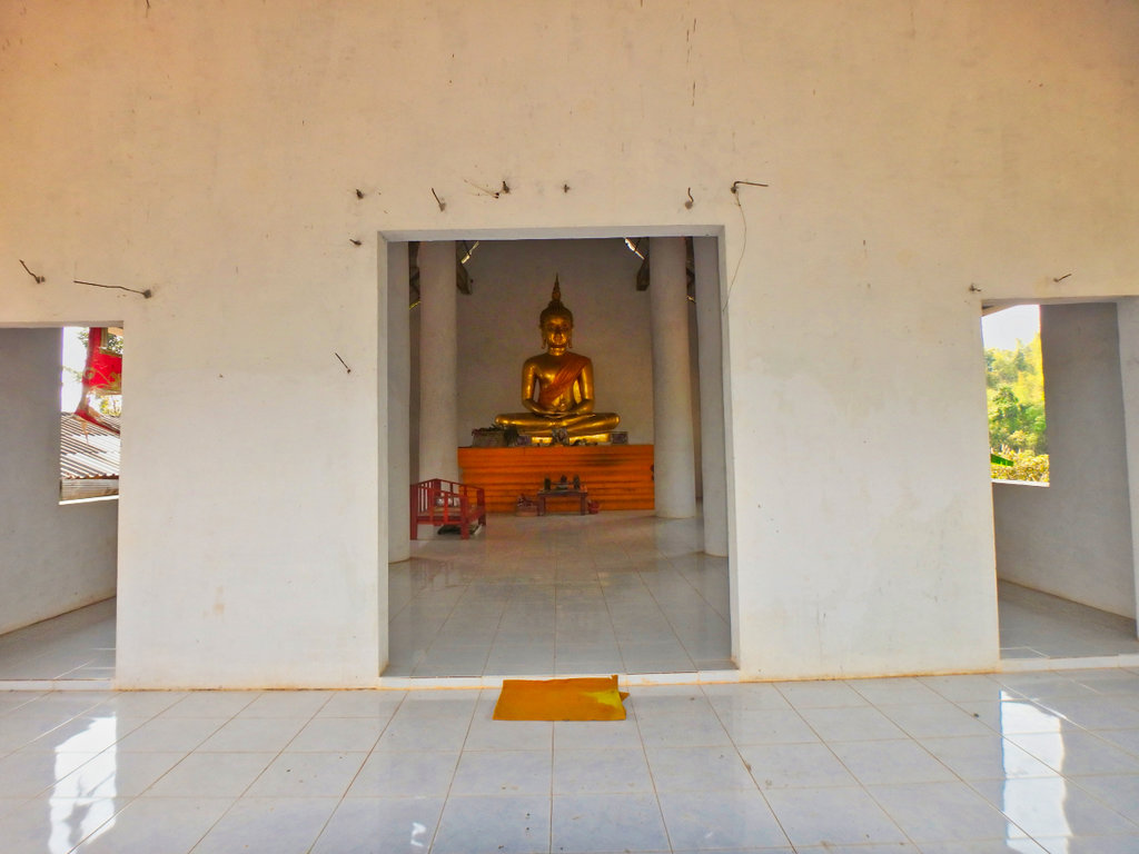
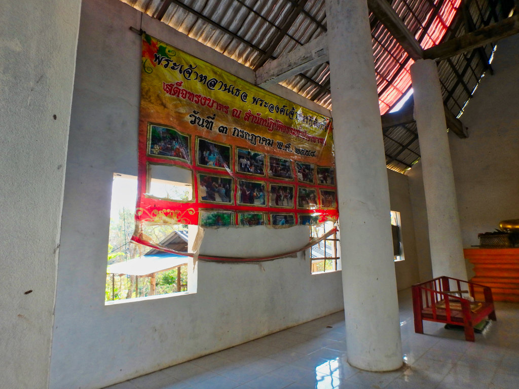
Came across this unfinished wat a couple of years ago, sadly it still remains incomplete for some reason.
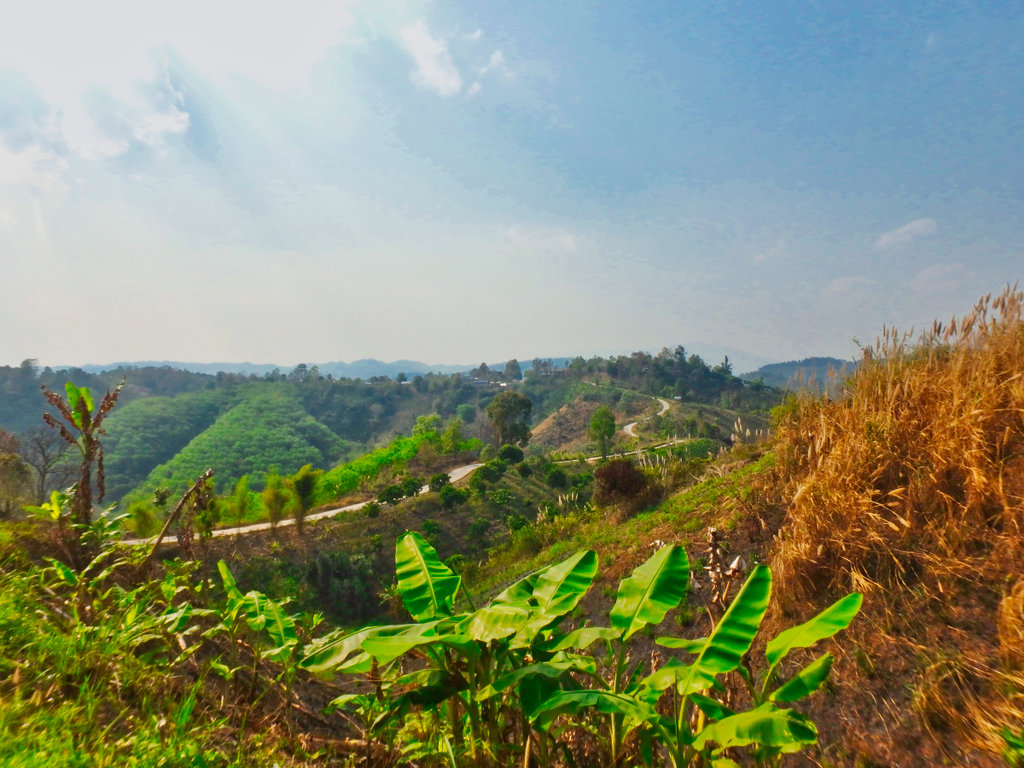
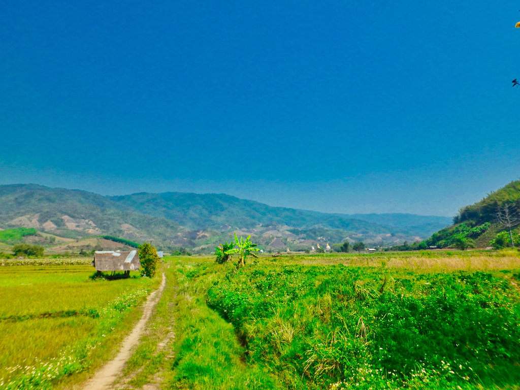
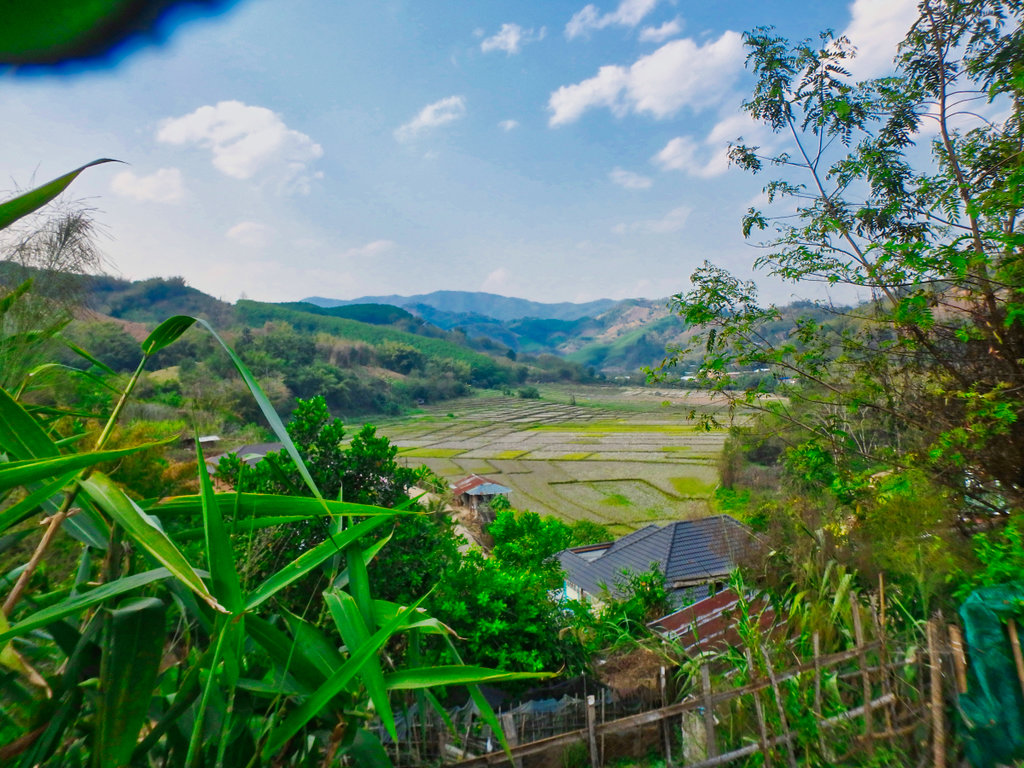
One of the few flat areas of land capable of growing rice.
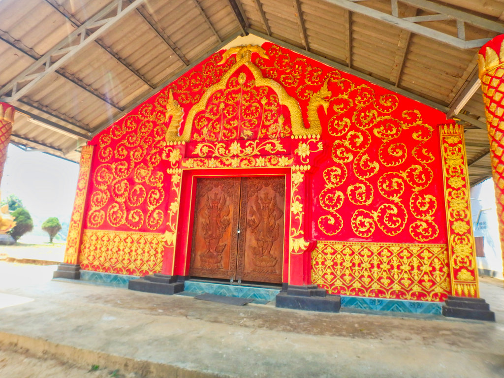
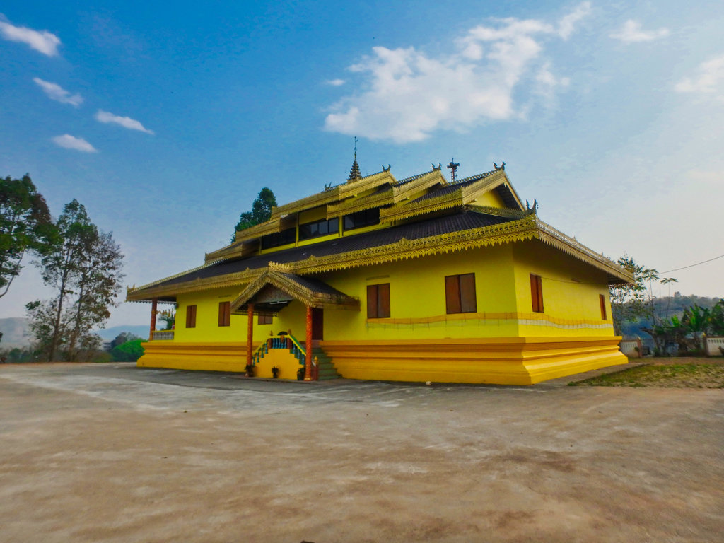
Heading back into town, yellow appears to be flavour of the day with most of the wats in the area.
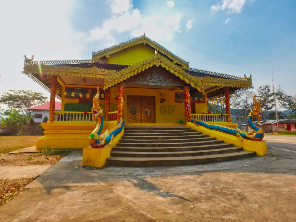
Looks a little gawdy to me.
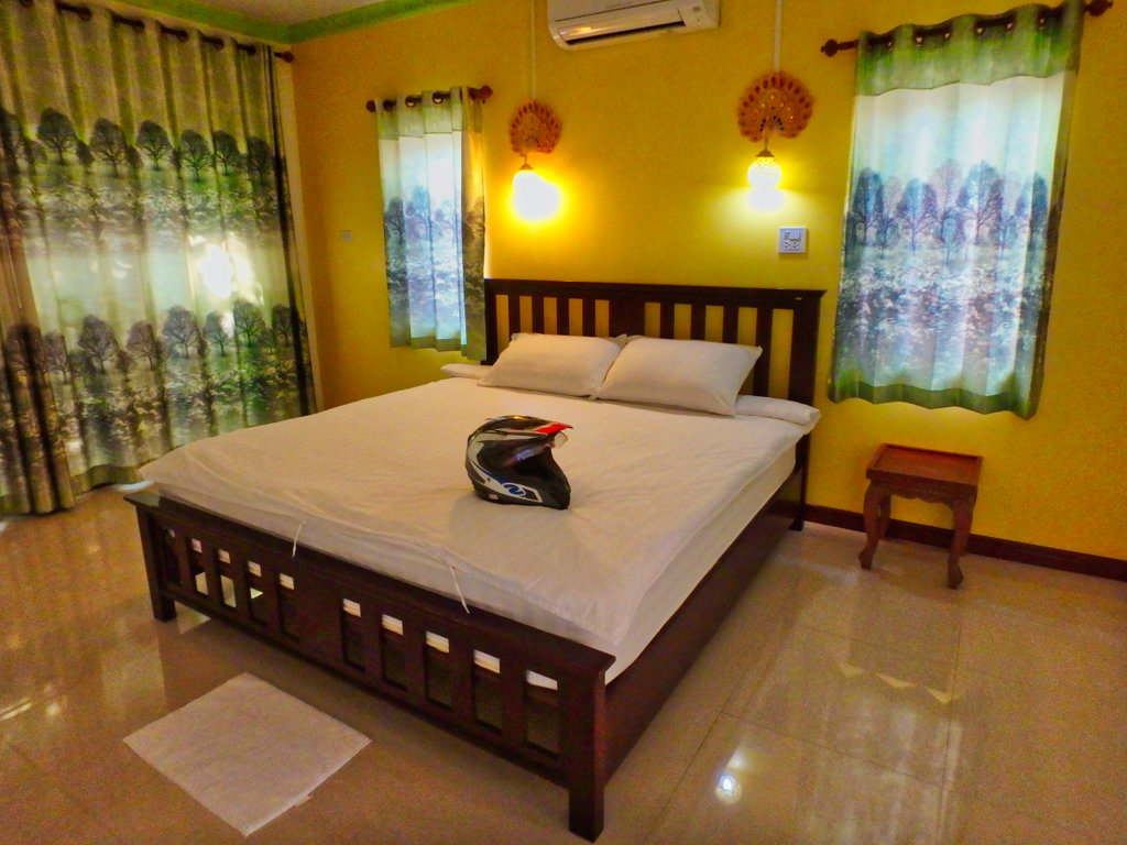
Once into town checked into the "Ratti Kanchana Resort" at only 600 baht a night its good value.
N20.24780° E99.65595°
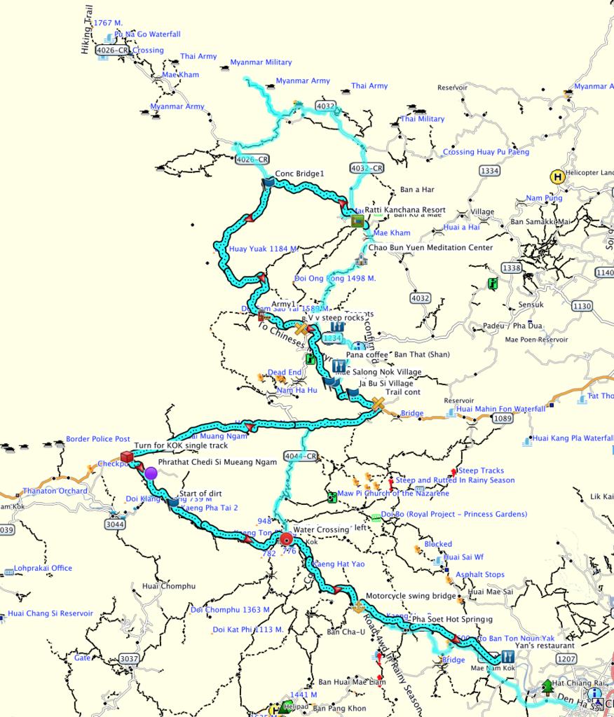
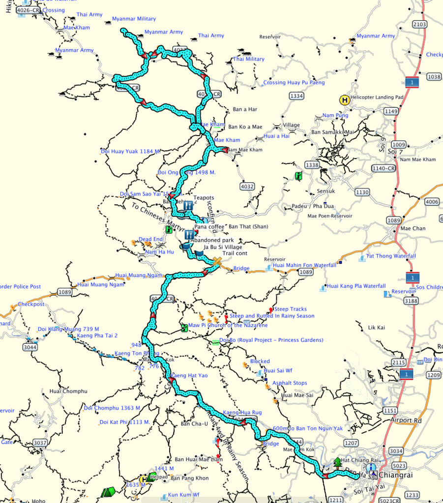
Today's route.
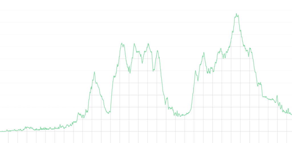
Total distance amazing only 158 km
GPX file at the foot of the post.
Taking the South side of the Kok river out of town the paving continues to eat up the dirt trails, water levels like most places very low right now.


One of the many white Buddha statues in the area.

"Pha Soet Hot Spring"
N19.95746° E99.69095°


My crossing point ahead, the refurbished swing bridge.

Only been a couple of years since Singha Corp, almost rebuilt the whole thing, it's looking a wee bit shaky again.


One of the many long tail shuttle boats between Tha Ton and Chaing Rai.


Not too much burning to be seen in the area but you sure can see the smoke, somebody didn't get the memo.

Cute Lahu family.

Lucky stop taking this shot as i looked around my number plate lay on the floor, saved me a lot of hassle getting a new plate.

The start of the first climb and bulldust already getting thick.

Bamboo leaves can be a hazard at this time of year not only are they slippy as hell the mask out the ruts.

The way I'm heading.

These two cops scared the hell out of me as i reached the end of the trail they jumped out and stopped me, once they realised i was a farang, all smiles and they posed for a picture, careful to cover up their side arms.

Once on the 1089 stopped for a nice ice cream it was still early morning but already getting hot.

Heading east on the 1089 and the small turn for the trail to Mae Salong, a little steep to start with.


Then opens up to some fantastic views.


Reaching the small Lahu village of Ja Bu Si, this being the focal point.

The small village perched on the hillside.

Between the village and Mae Salong Nok there is this abandoned park, would make a lovely camping spot.


Like the people have turned their backs on the place and left it to rot.


Several small bungalows waiting for customers.

Unesco, hmmm.....

Nice little reference library.

Seen these pencil drawing at every night market in Thailand, they are cute though.


God at work maybe.

Mae Salong Nok not on many maps is a surprisingly large village.


Mae Salong sure is a melting pot of most religions, this being Catholic was a little surprise.


A quick stop at Pana coffee.
N20.14500° E99.64216°

The coffee was delicious but at 200 baht for 250 grams they can keep it.


Terrace tea plantations.

One of the many Chinese burial points all around Mae Salong.

Quickly arriving in Mae Salong, time for tea and the Teapot of course.
N20.17402° E99.64100°

A huge amount of money has been poured into this venture but no signs and a dirt road to get here, it's often overlooked.

Mongolian style Yurts, all nice on the outside but inside is another story all together.


The lady running the shop was a little surprised to see me, but free tea was on offer so i tried a few.

Arty shot of the day.


My Home has had a face lift and so have the prices !!

Heading north out of town another Catholic church.

Wall art, kind of.

I had expected this trail to all paved, thankfully the concrete has not reached it yet.


Tea everywhere, it does make for nice pictures.


Not sure which tea this is but it smells great.


"Chao Bun Yuen Meditation Center" Looks like it being converted to a wat.
N20.22102° E99.65870°

Looks like progress is slow.

Theod Thai coming into view.

Since i arrived well ahead of time a quick poke arpund one of the Chinese cemetaries then make a loop to the border.

One of the nicer plots.

Cant be said for the rest as its all overgrownh.


Heading out on the 4032 border bound.

So many small villages around all hugging the hillsides.

Stupa getting a facelift.

Not sure why the Buddha is covered up this way.

Missed a bit top apex, need a longer ladder.

Stunning tea terraces everywhere now.


You can see the soldier heading towards the gate at this local border point, he wasn't going to alow me to take pictures, opp's too late.

The Mayanmar point just 100 metres away for the Thai camp, i did consider walking down but guess i pissed off the soldier enough already.


This is obviously a big commercial tea plantation, everything is manicured perfectly.


It was hot as hell by now, a nice swim would have been a good idea.


A happy famer drying his tea leaves.


Heading up to another border camp, Mynamar army in the distance.

Trail end a large Thai army camp and several helipads, time to turn around.


The camp in the distance i had just turned away from, this smaller one was abandoned for now.

Several small Myanmar camps in the distance.


Came across this unfinished wat a couple of years ago, sadly it still remains incomplete for some reason.


One of the few flat areas of land capable of growing rice.

Heading back into town, yellow appears to be flavour of the day with most of the wats in the area.

Looks a little gawdy to me.

Once into town checked into the "Ratti Kanchana Resort" at only 600 baht a night its good value.
N20.24780° E99.65595°


Today's route.


