Gnasher328
Senior Member
- Joined
- Aug 9, 2012
- Location
- Chiang Mai / New Forest, England
- Bikes
- Ducati 851 & Mille S2, HD FXR, Trumpet R3, BMW R100RS, CRF 250
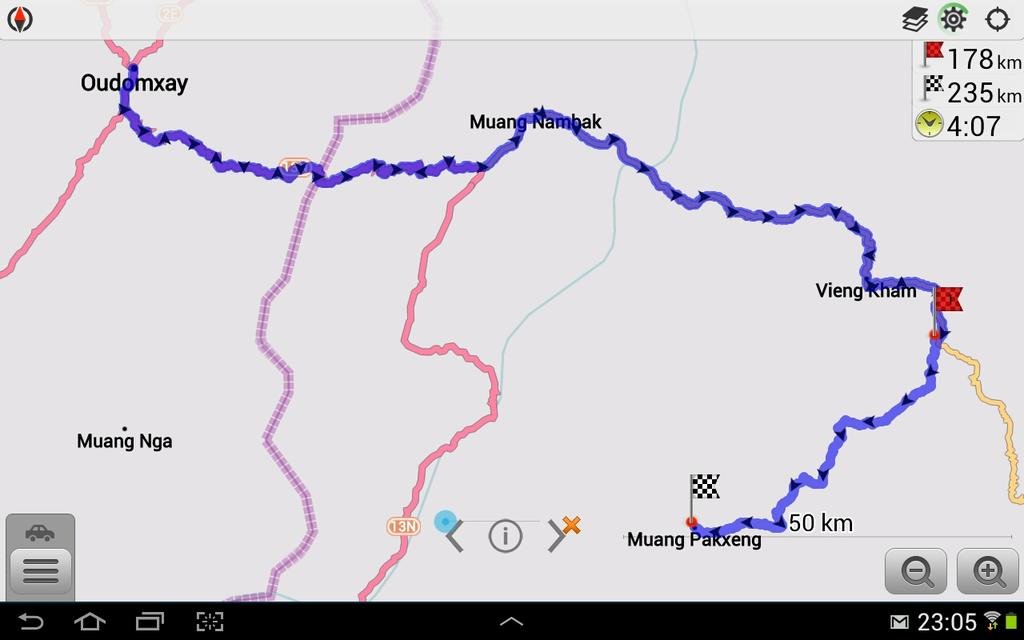
A bit of Googling and OSMAND had given me the idea to head for Luang Prabang the scenic way, turning off the busy and dusty 13N at Pakmong, where I picked up some lunch, fuel and info on Phonsavan, onto the 1C through 'Nong Khiaw' or 'Nong Khiao', depending on the map used, then @15k after the picturesque Vieng Kham, turn right at a tiny village which some info says is 'Sam Soun' but I have been unable to verify, and insignificant junction onto a fantastic dirt road to Pakxeng numbered the 2505 on OSM/Mapnik.
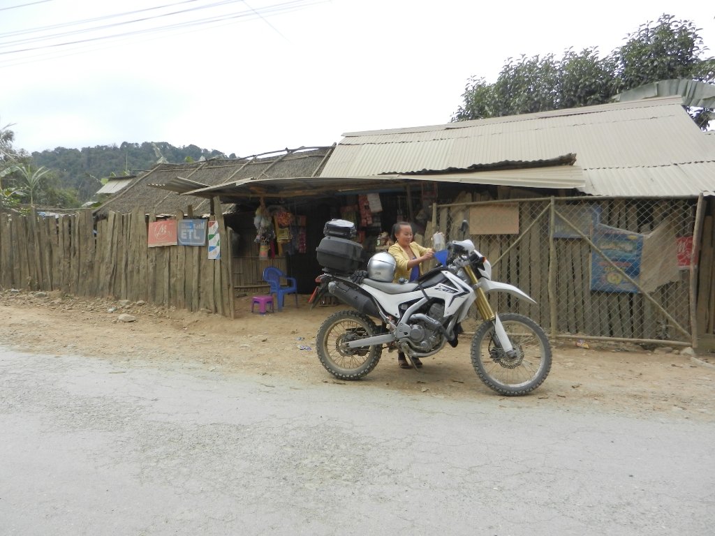
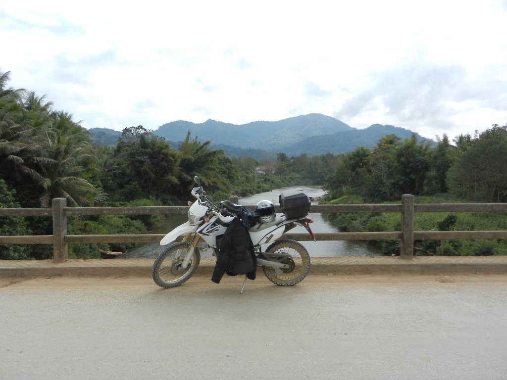
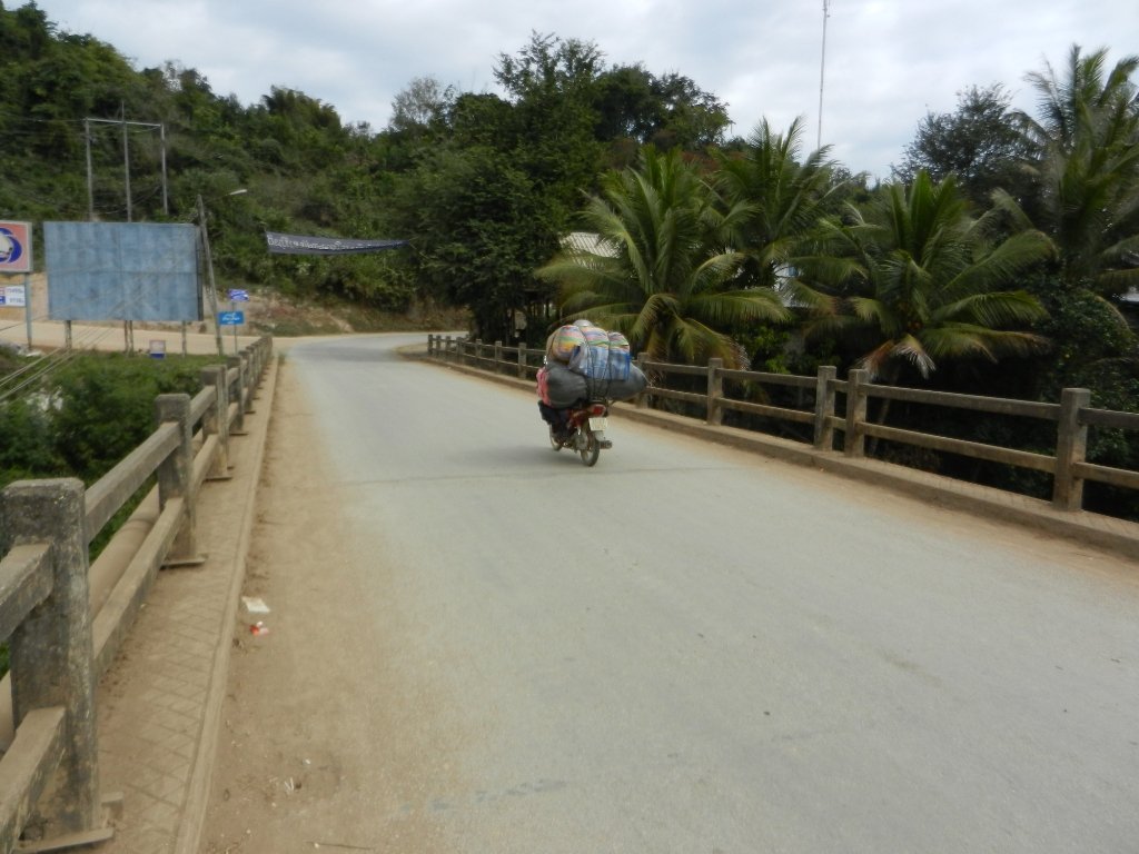
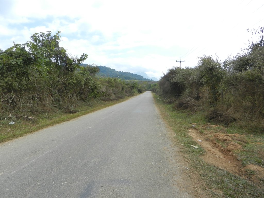
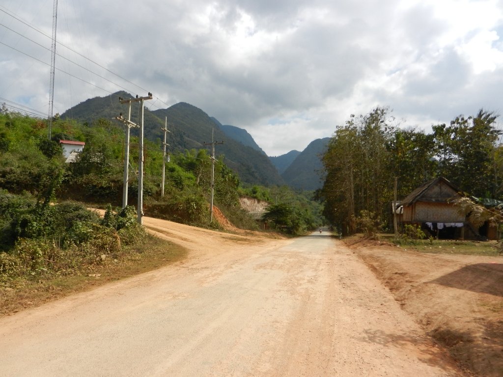
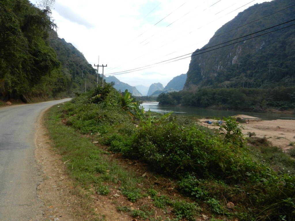
Once off the 13N the road actually improved and was fairly good tarmac through to Vieng Kham which I was surprised to see was quit a tourist spot with plenty of guest houses, restaurants and boats for river cruises, like a mini Luang Prabang. A bit like Pai compared to Chiang Mai perhaps?
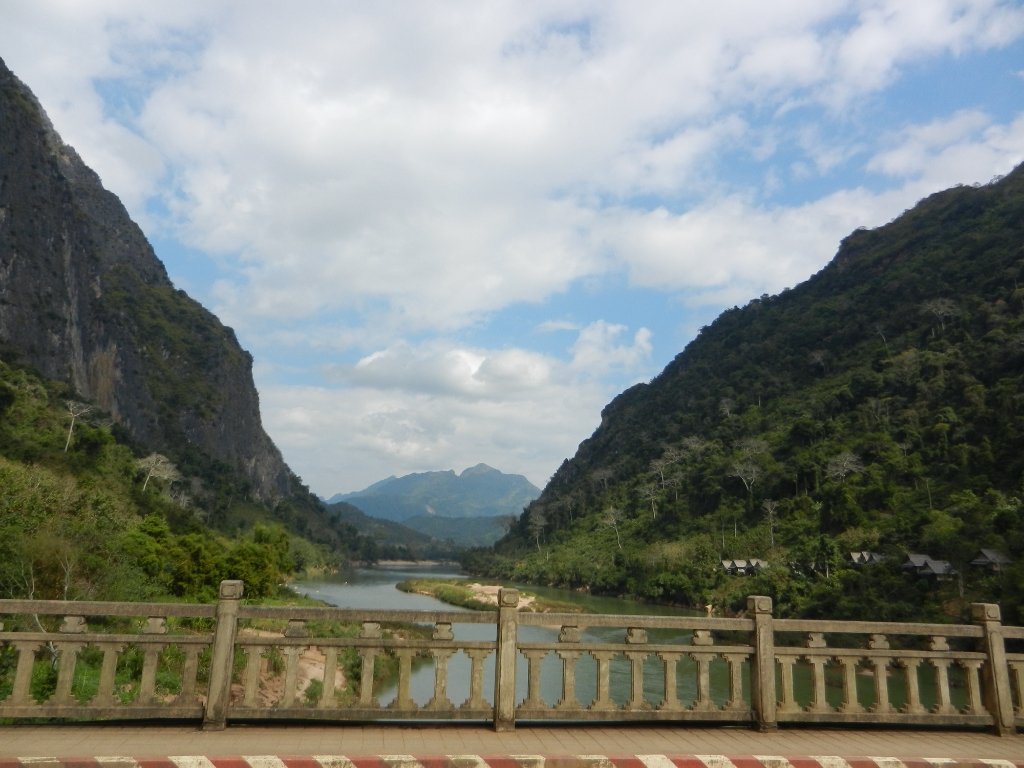
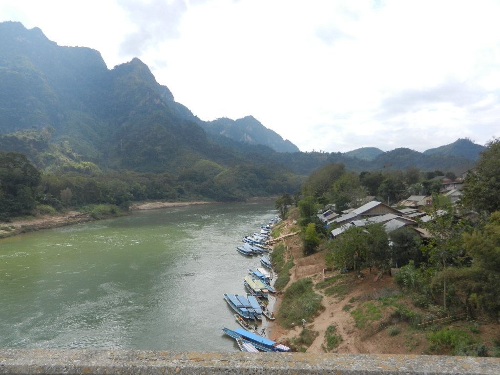
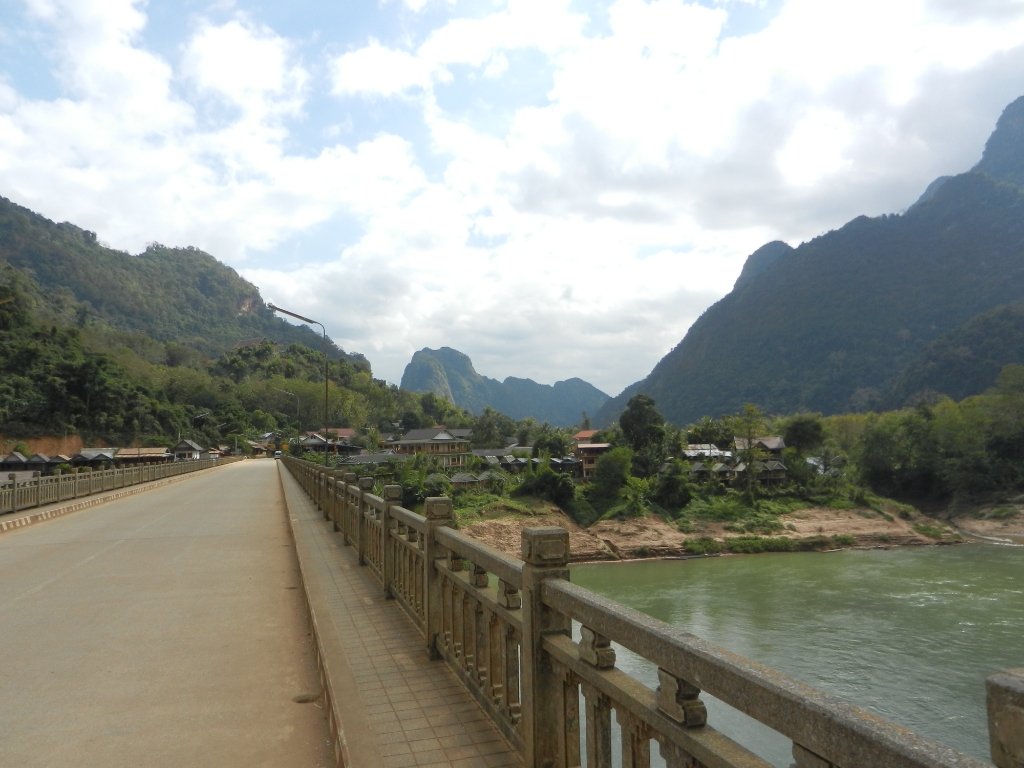
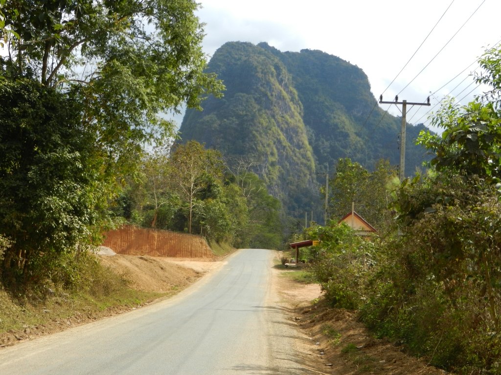
Sometime after this the road deteriorated, alternating between tarmac, hardcore and patches of soft sand. I was on the lookout for the turn but missed it and carried on for a bit as I was enjoying myself lots.
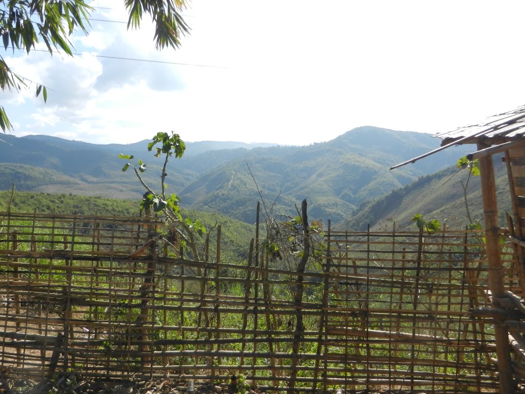
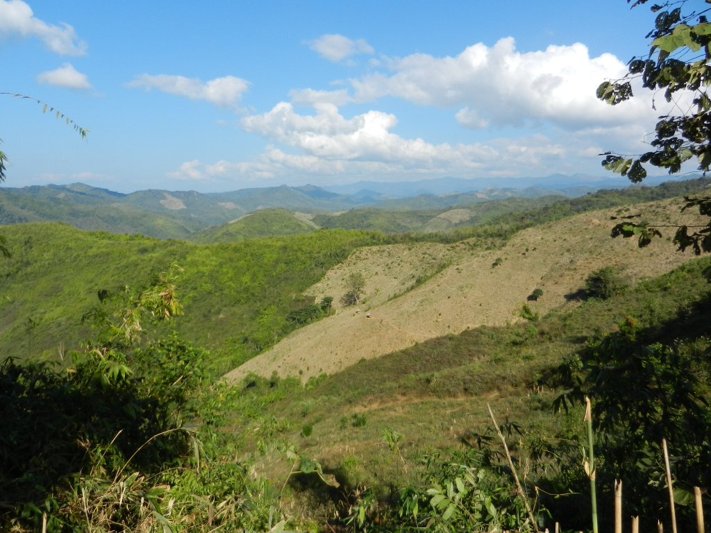
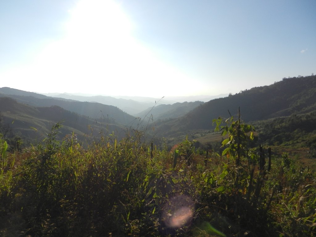
Around 20k / 1/2hr or so I stopped to check and have a rethink whether to carry on and hope to find lodgings in Viengthong or turn back. As I had no firm info on Viengthong but a definite lead in Pakxeng I turned back.
The junction was easy to spot from the other direction, there might even have been a sign although it still looked like just a turn into the village.
Anyway, to get to the point, this road is ONE OF THE BEST. It was steep in places but no problem in the dry, mainly a good hardcore surface running along a high ridge with amazing views either side.
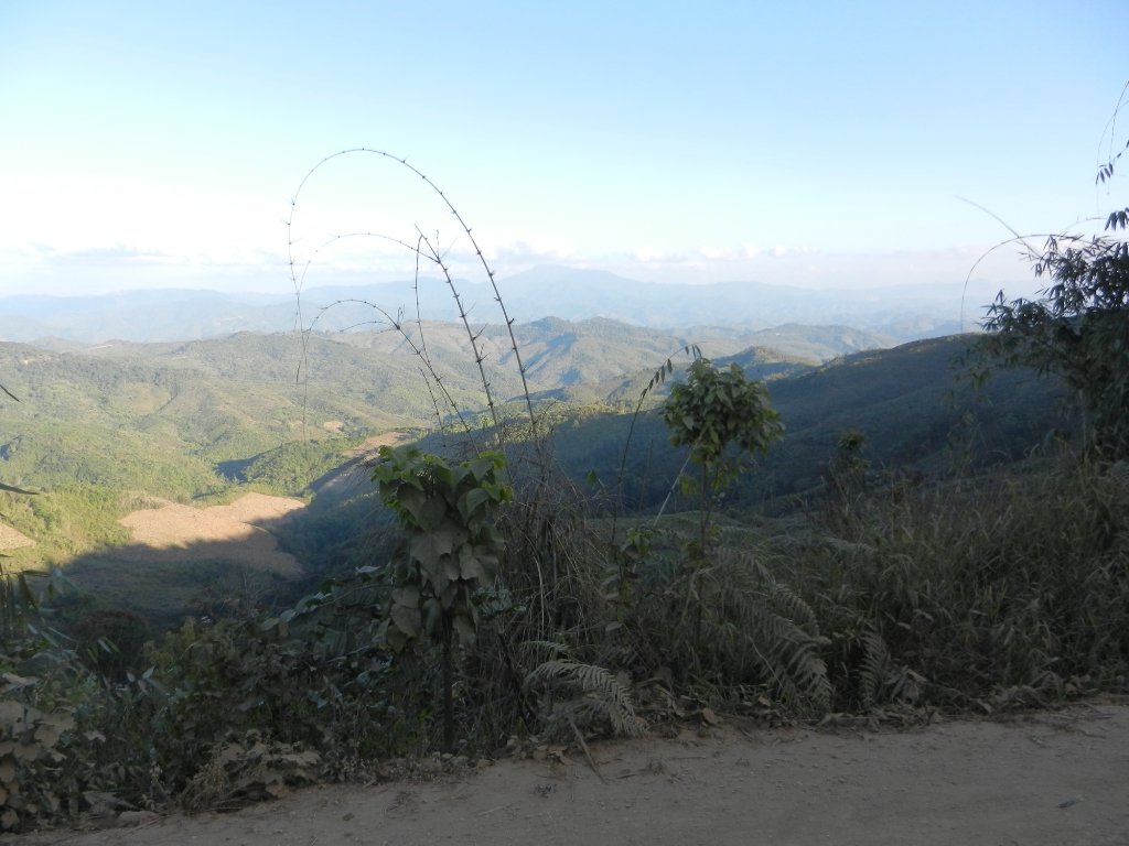
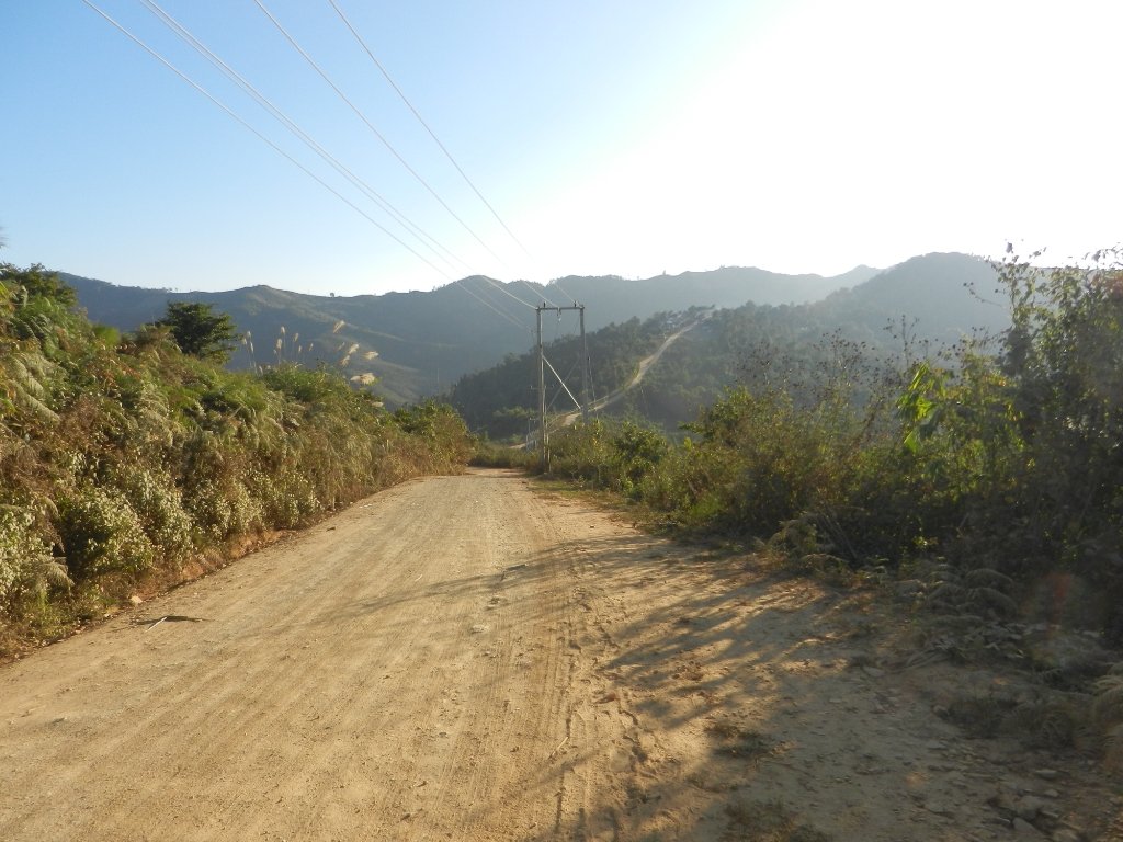

There were plenty of hamlets dotted along the road but a failed attempt to buy a bottle of water in one lowered my hopes of finding a bed if the going slowed down, as by now the sun was setting.
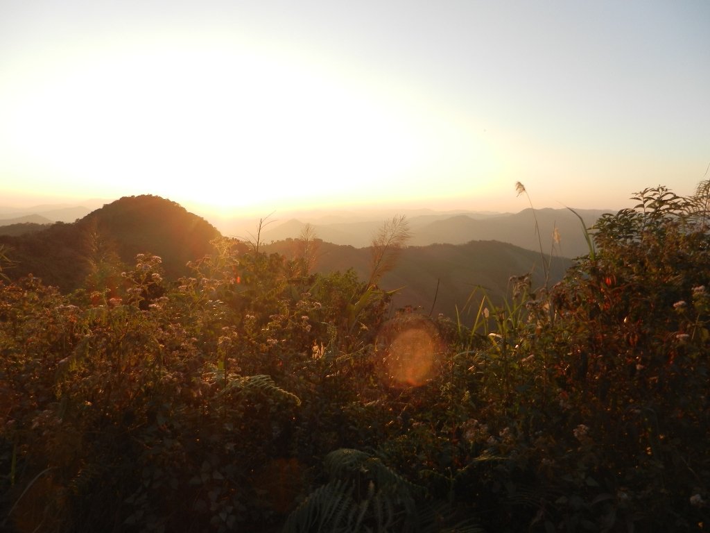
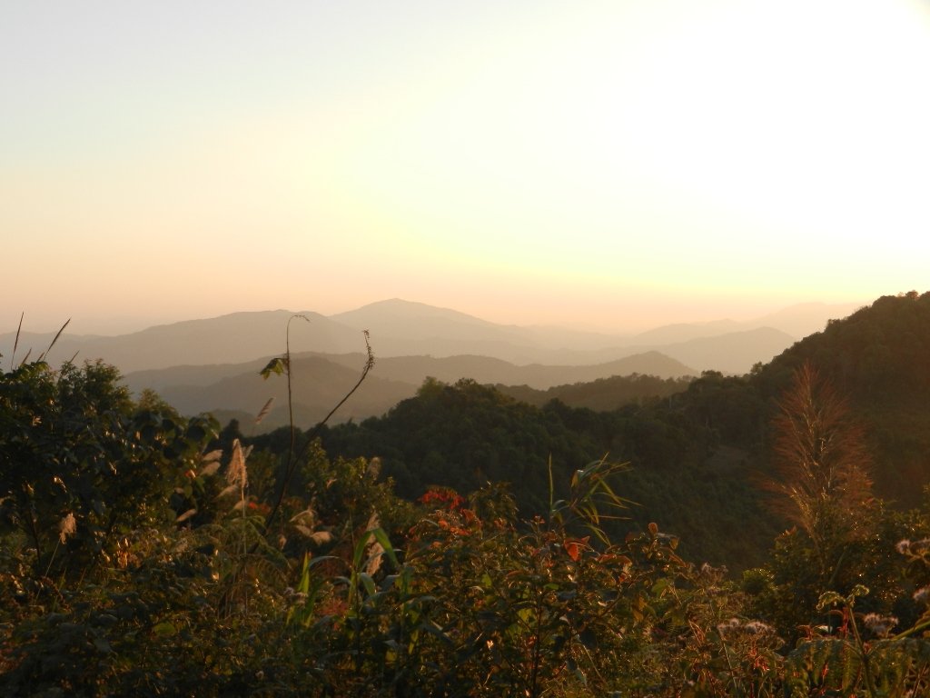
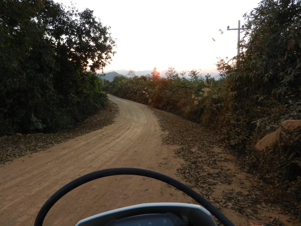
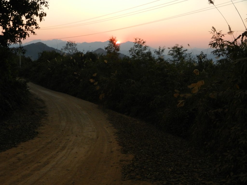
This led to a slow and tense last hour the dark as the road deteriorated into sandy bits and ruts and I found the CRF headlight cuts dip beam on main so I had to chose between seeing the corners ahead or the ruts I was about to hit right in front. Must fix that!
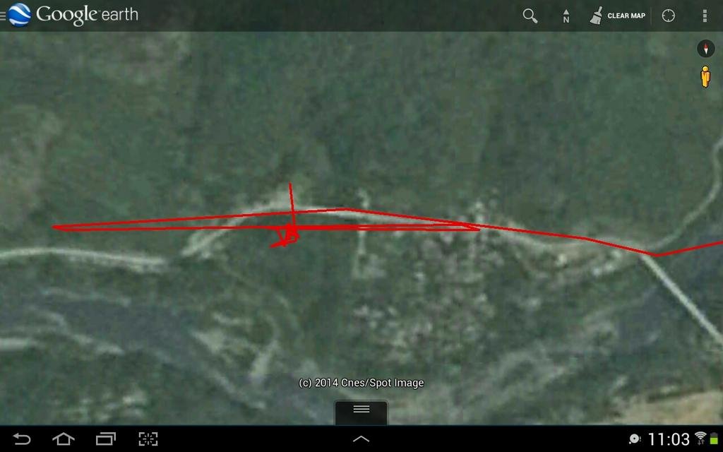
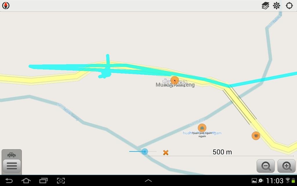
I reached Pakxeng around 7pm praying the GH existed and was open. After riding up and down past its marked location in the dark I stopped at a shop and made 'sleepy signs', and after some excited chattering a girl pointed me down the street with a turning motion. This was going to be fun, exploring the bumpy side turns in the dark. As I got back on the bike she came out, hopped onto her moped and beckoned me to follow her. A few hundred metres later she gestured to a turning leading back up a hill a short distance with some lights at the top. There was an open area with some shops and other buildings, a covered market and - a guest house. Phew!
The proprietor was there watching TV, smoking what looked like a normal cigarette through a huge metal bong like a drainpipe with his niece playing nearby.
After I had secured a room which was ok by Laos standards and showered etc I went in search of food and beer.
Morning Pics
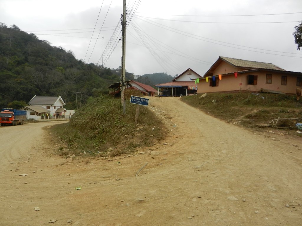
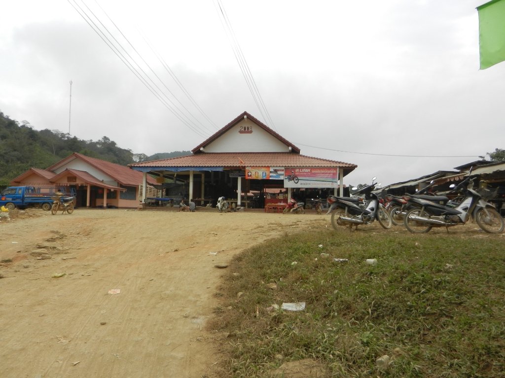
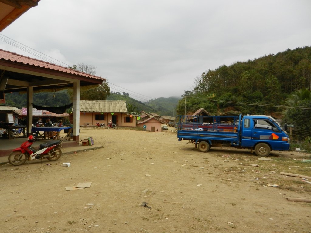
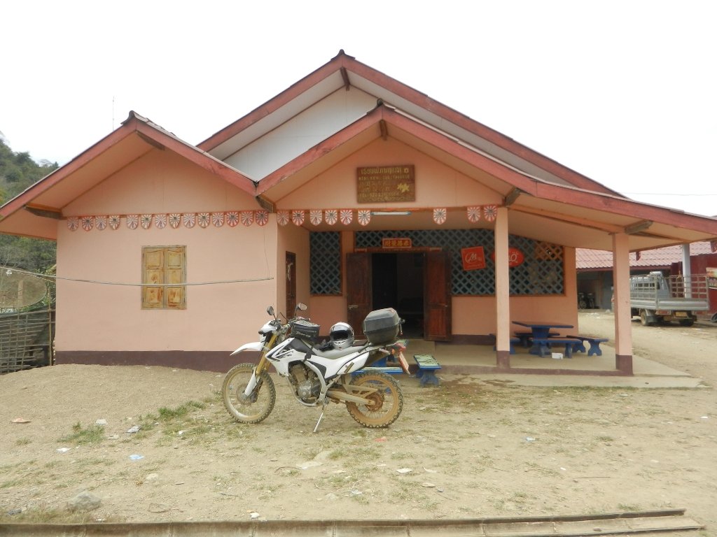
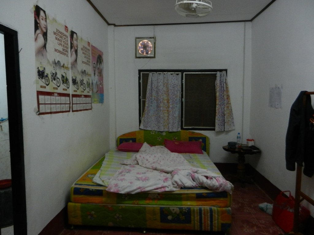
The food looked a bit iffy and there was no beer there so I went off in a search which proved surprisingly difficult considering the many piles of 'Beer Lao' crates stacked around as most people had retired by now. One of the only people left on the street was a young girl weaving at a loom under a dim bare bulb. Eventually I tracked some down and returned to the GH where I got 'chatting' (gesticulating) with the gaffer who started making vulgar signs including some I'd never seen before and saying 'want women?' and pointing. I got the gist but it had been a long day and I preferred the idea of beer and a book. Perhaps it should be 'Pakbang'?


