Captain_Slash
Community Manager
- Joined
- Jun 28, 2011
- Bikes
- BMW 310GS Honda Wave 125 Honda MSX 125
Total distance 171 km
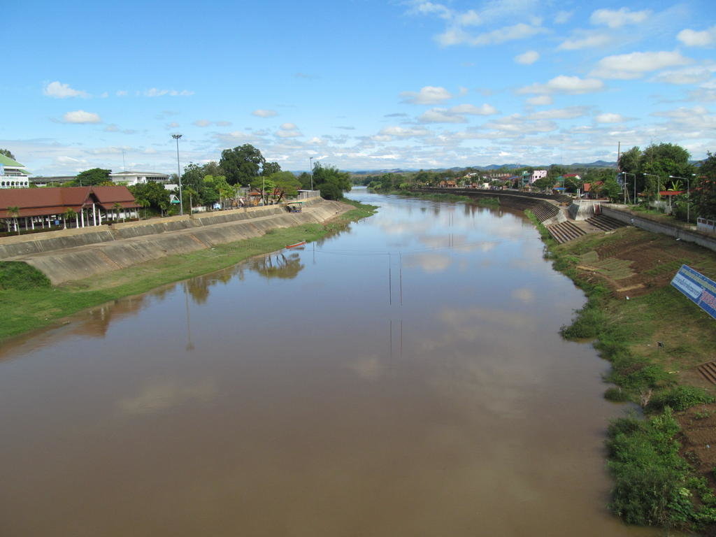
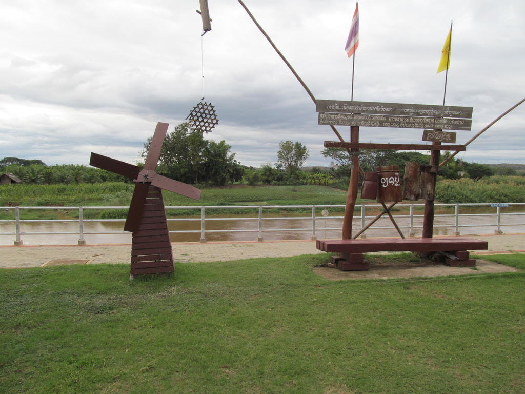
Its a sunny morning and theres more water in the Nan river this morning than there was yesterday, its muddier too
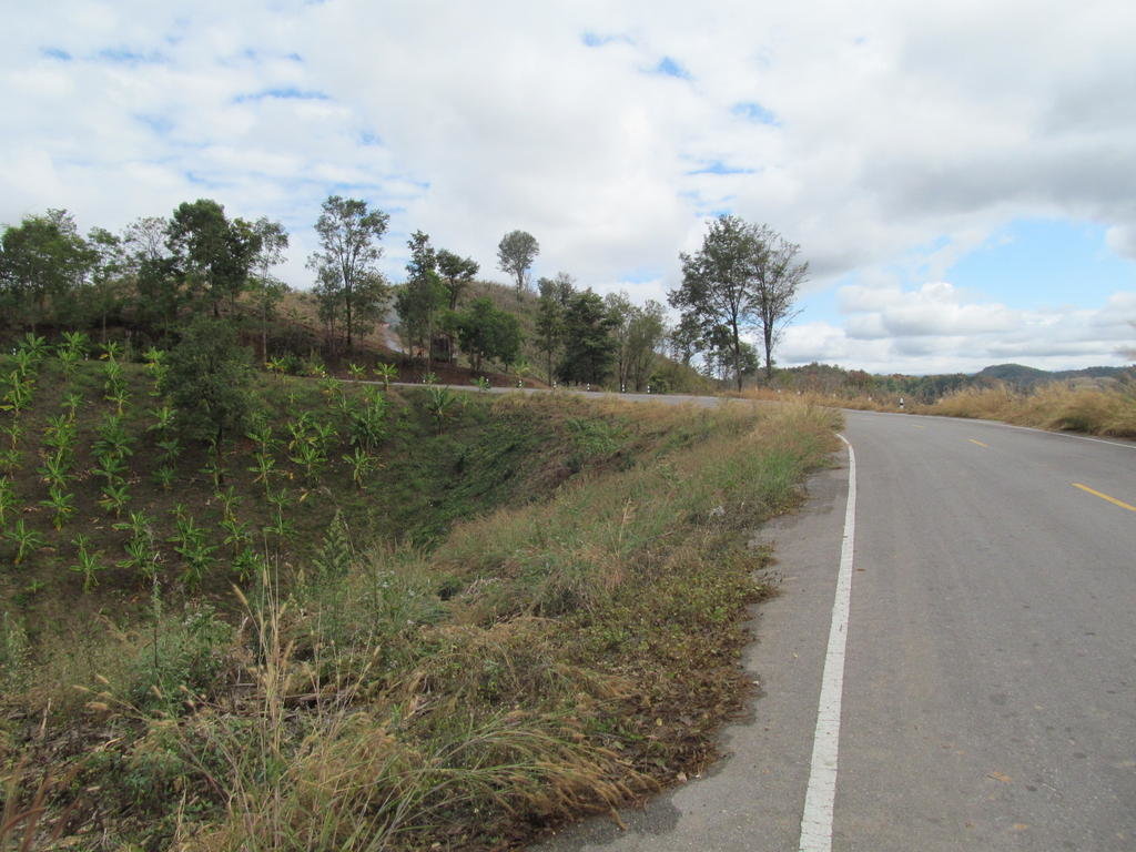
When it comes to getting fires going when everything is soaked theres no beating some people
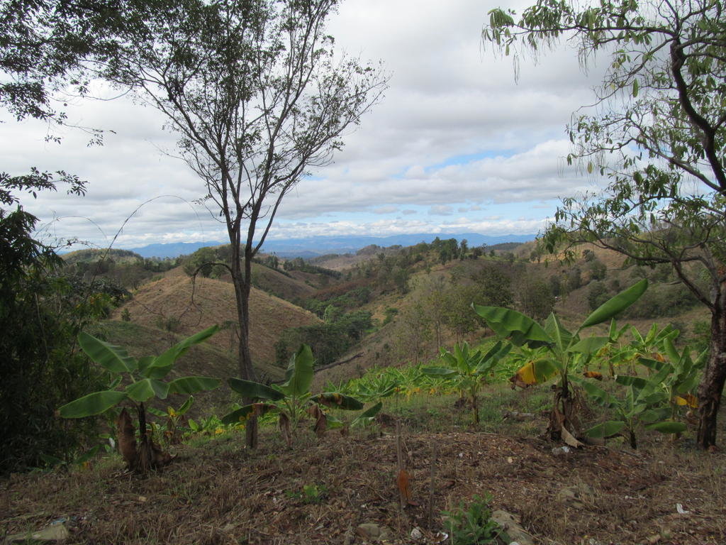
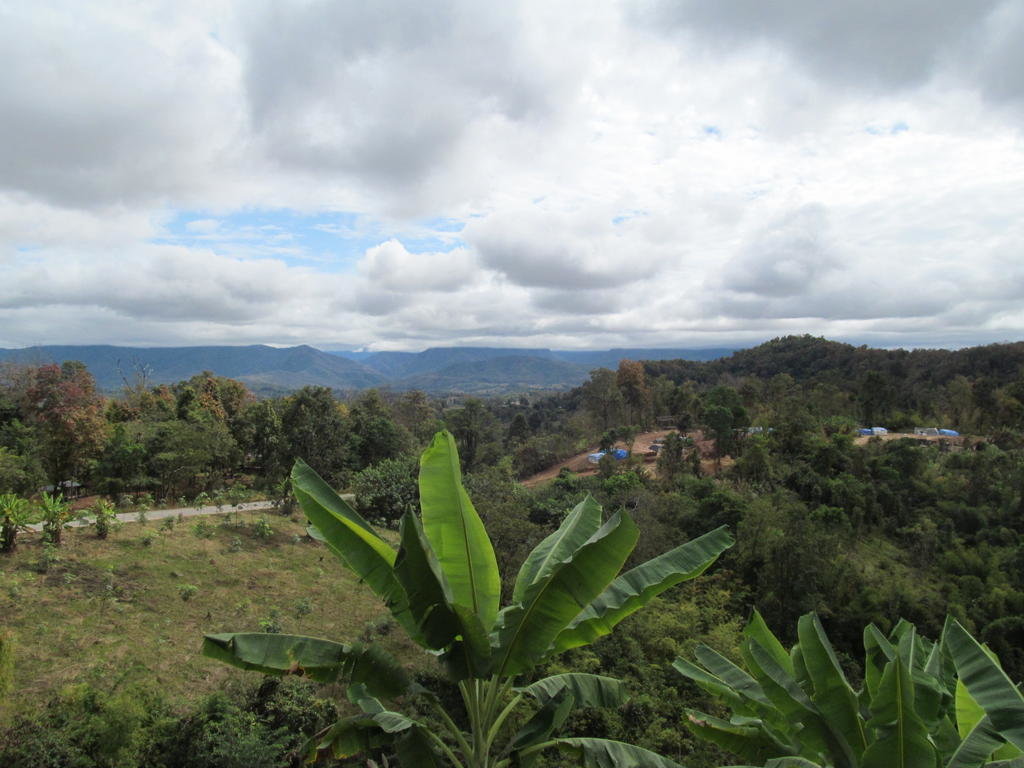
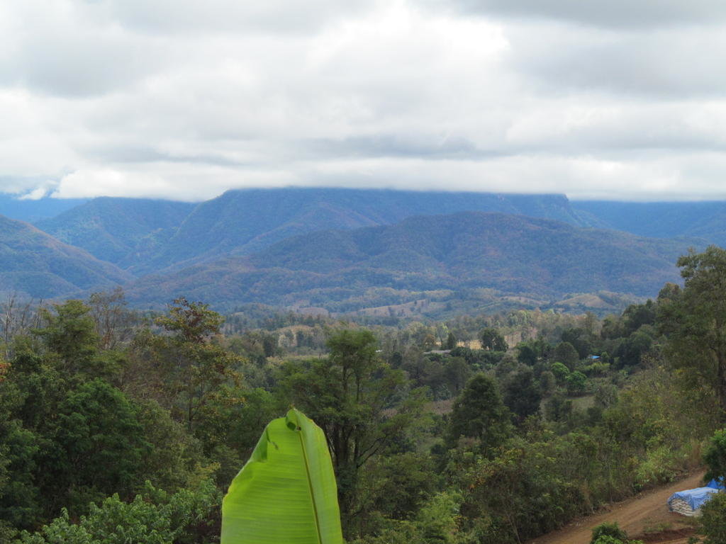
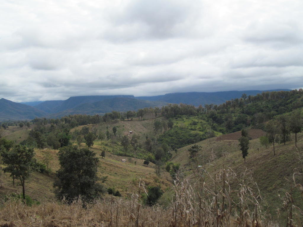
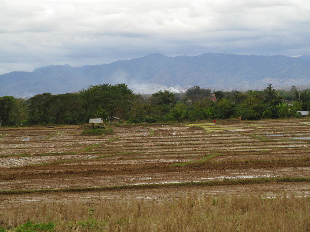
As I approach Mae Charim it gets a lot cloudier and cooler
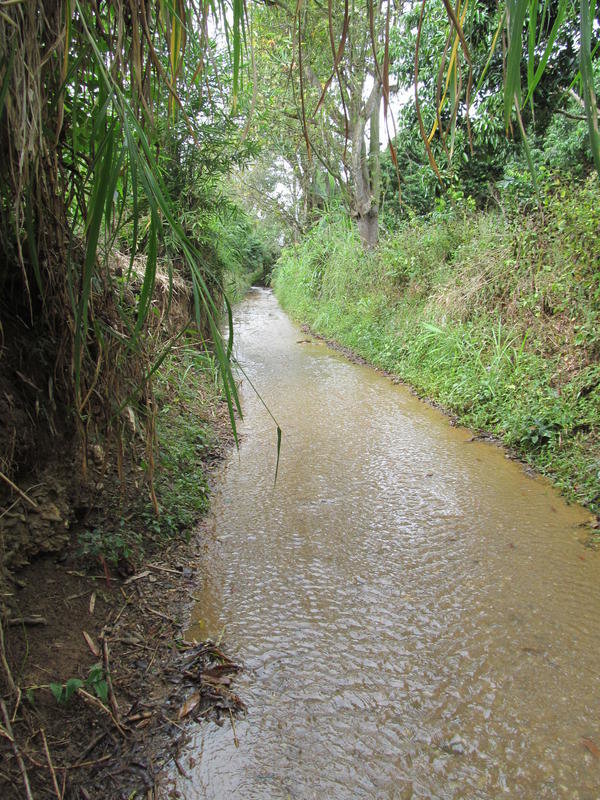
Interestingly a track I rode a few days ago where the stream bed was the track has no more water in it today than it did back then
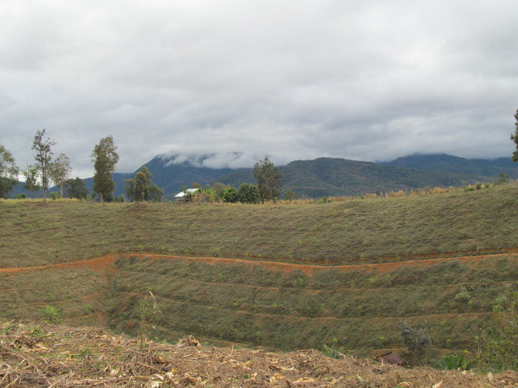
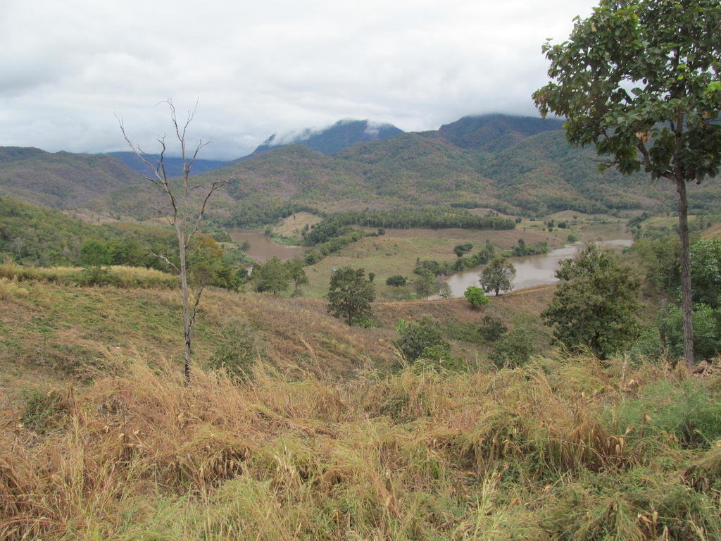
Nearing the hydropower project and the Wa builds up
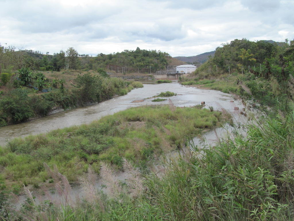
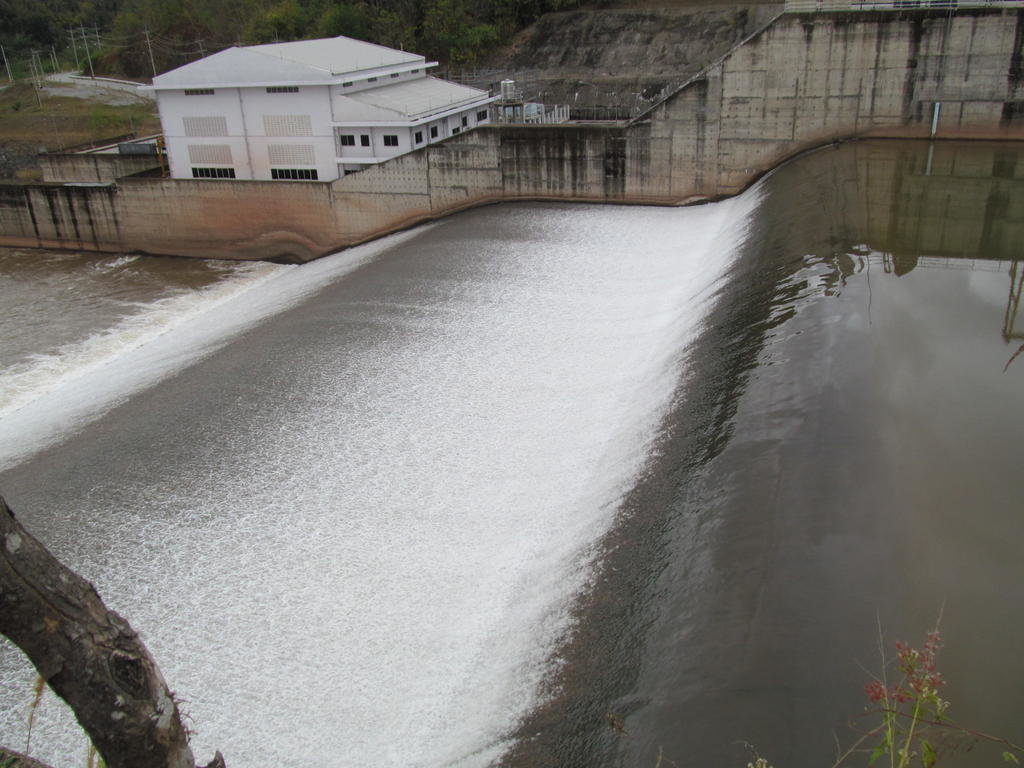
The spent water after producing electricity
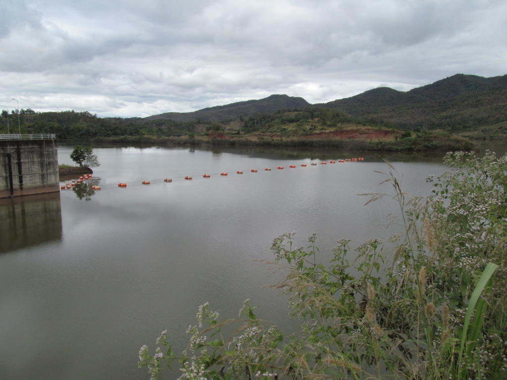
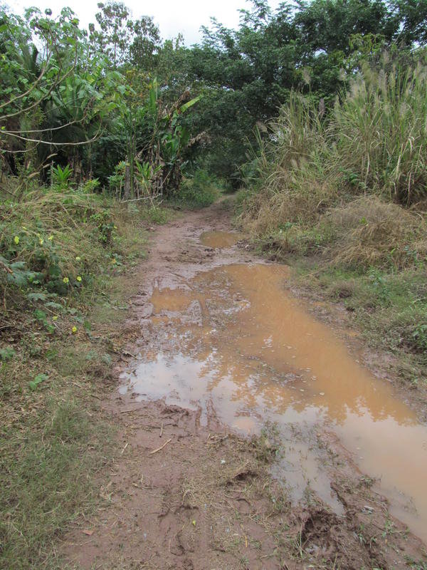
Slippery muddy tracks encountered here
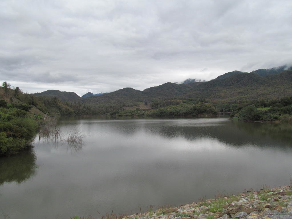
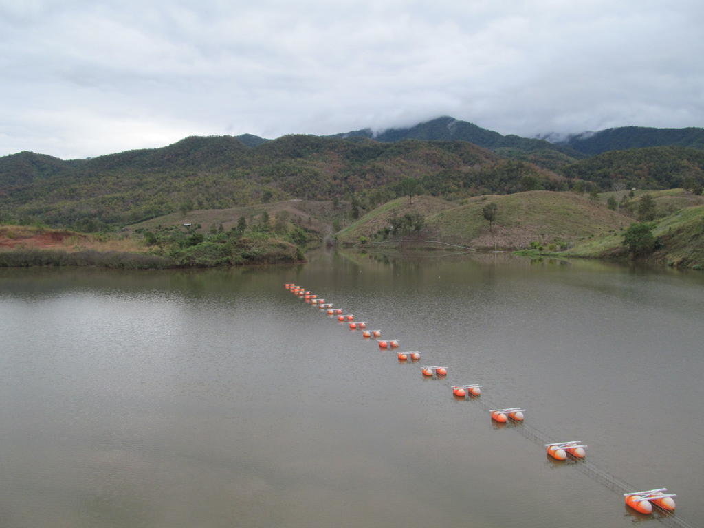
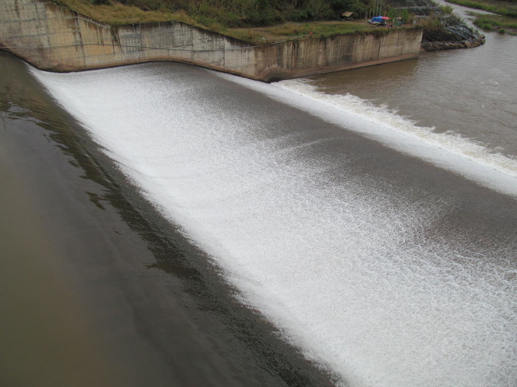
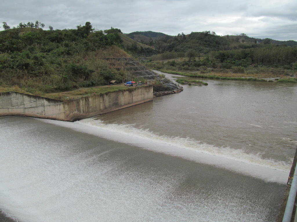
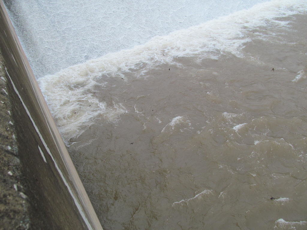
Lots of birds swooping low looking for a free fish snack
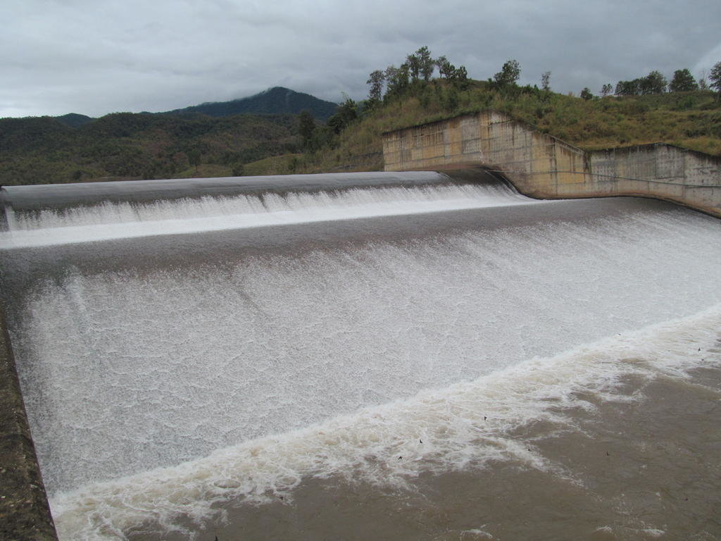
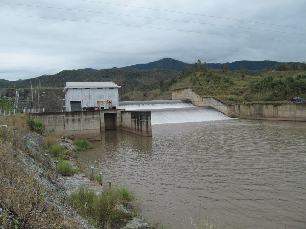
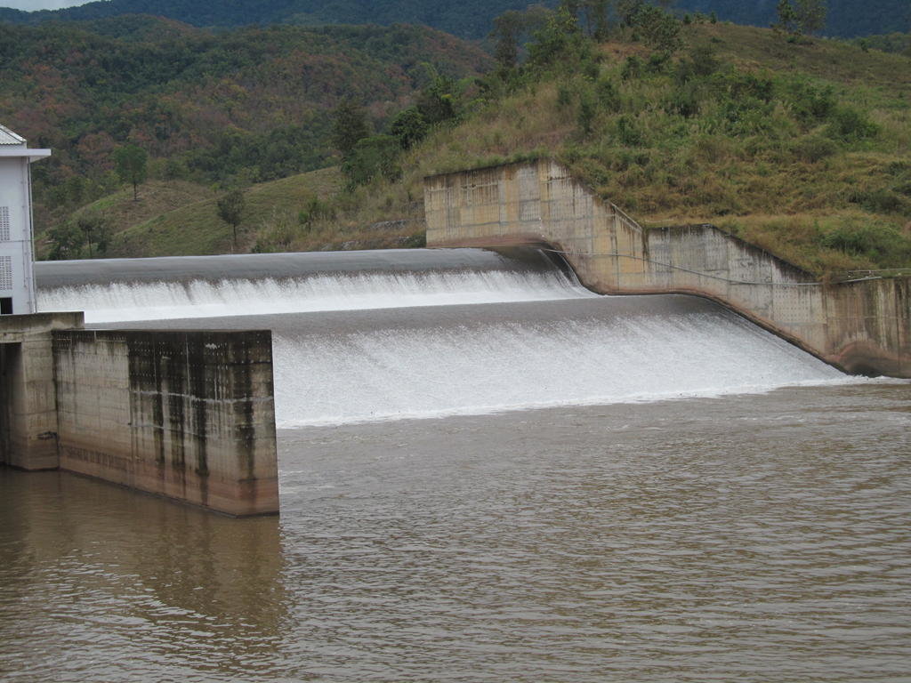
Perhaps I over estimated the rainfall as I thought there might be a higher water flow than this
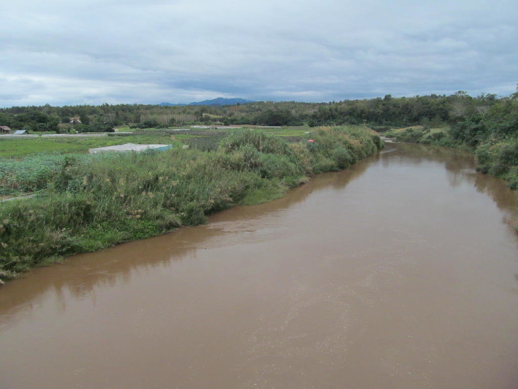
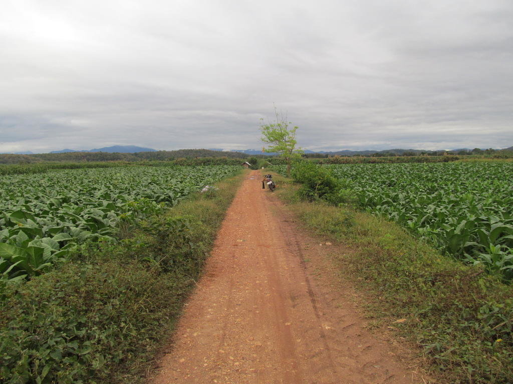
Just outside Wiang Sa this track takes me to the Wa/Nan confluence
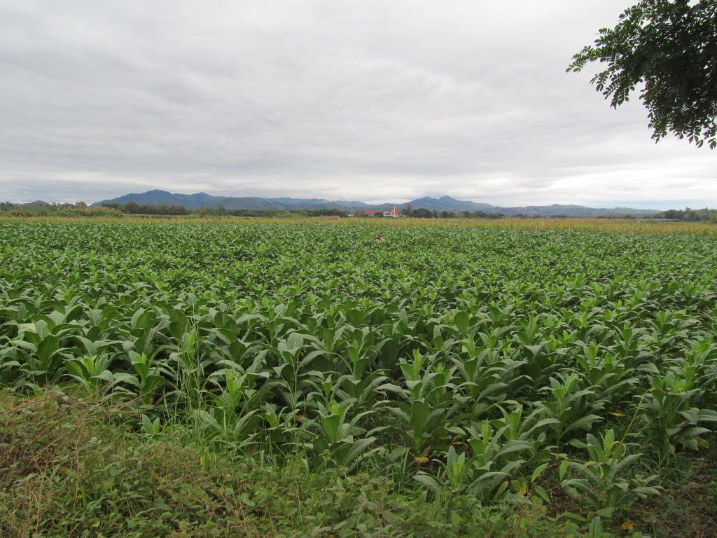
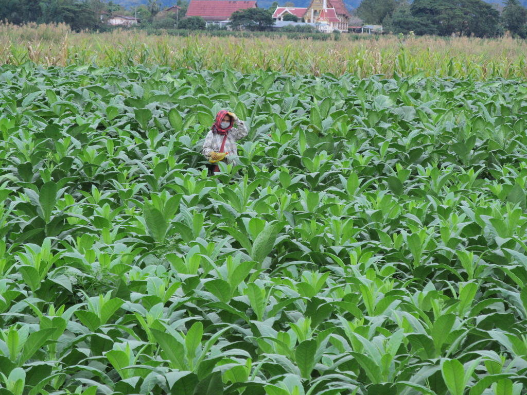
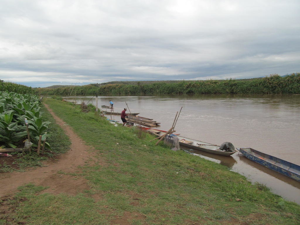
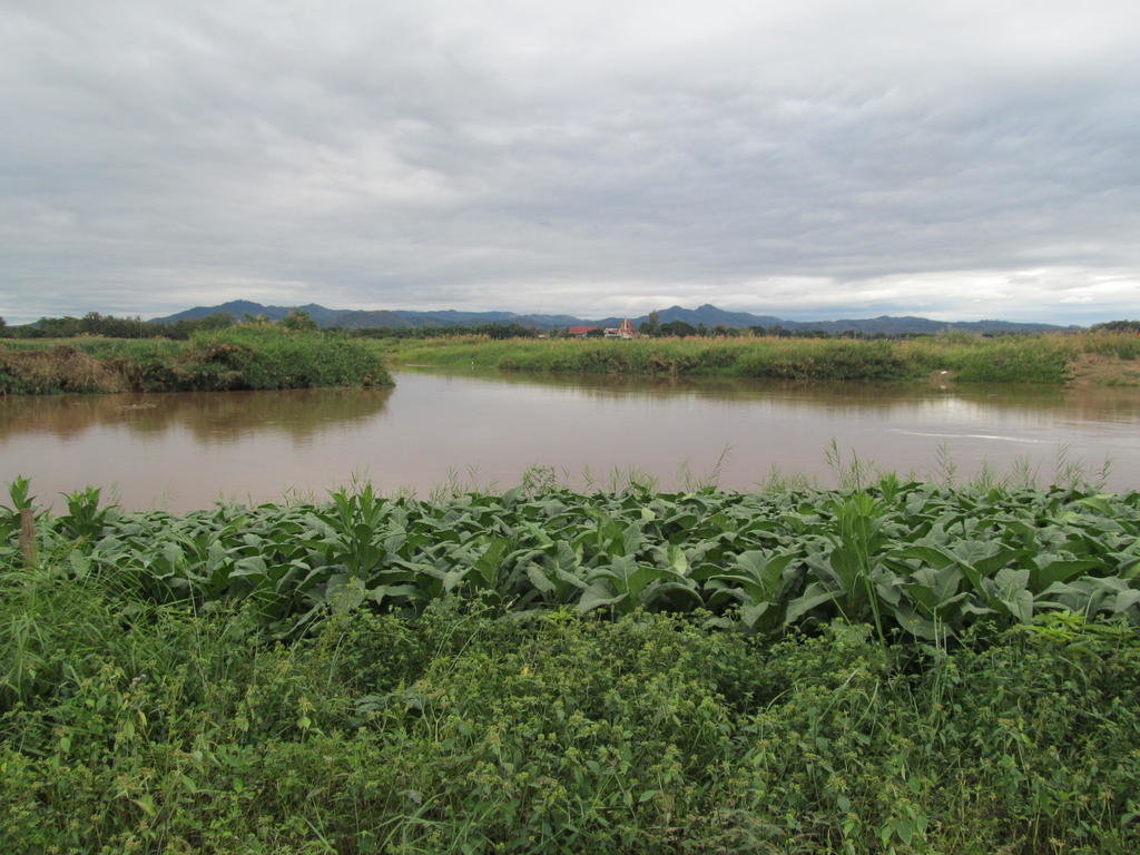
As usual I have to walk through a field of tobacco to get there

Vegetarian pizza at Nan Steakhouse 165 Baht

Its a sunny morning and theres more water in the Nan river this morning than there was yesterday, its muddier too

When it comes to getting fires going when everything is soaked theres no beating some people


As I approach Mae Charim it gets a lot cloudier and cooler

Interestingly a track I rode a few days ago where the stream bed was the track has no more water in it today than it did back then


Nearing the hydropower project and the Wa builds up


The spent water after producing electricity


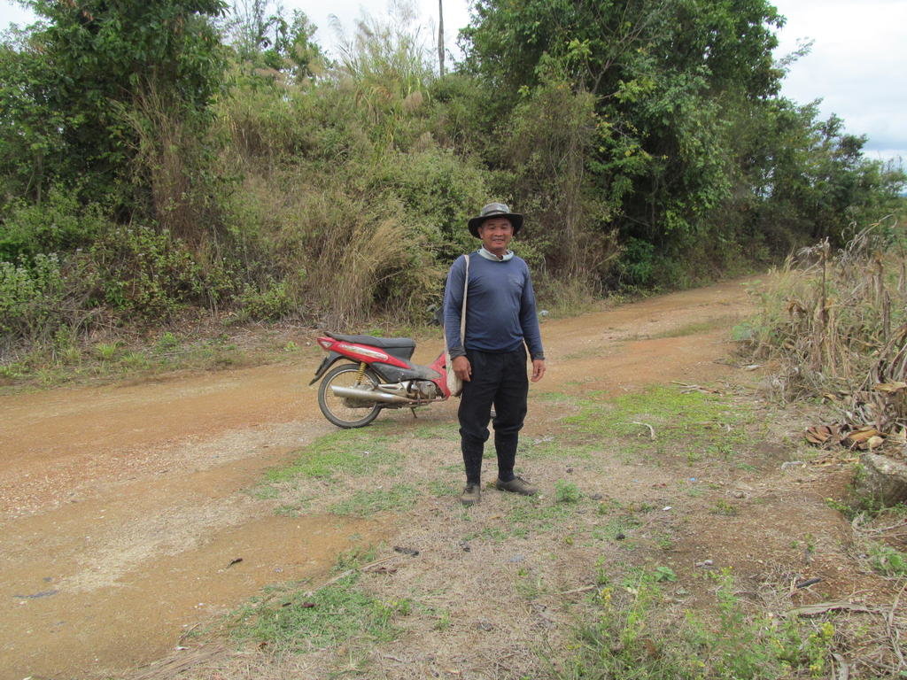
Slippery muddy tracks encountered here


Lots of birds swooping low looking for a free fish snack


Perhaps I over estimated the rainfall as I thought there might be a higher water flow than this


Just outside Wiang Sa this track takes me to the Wa/Nan confluence


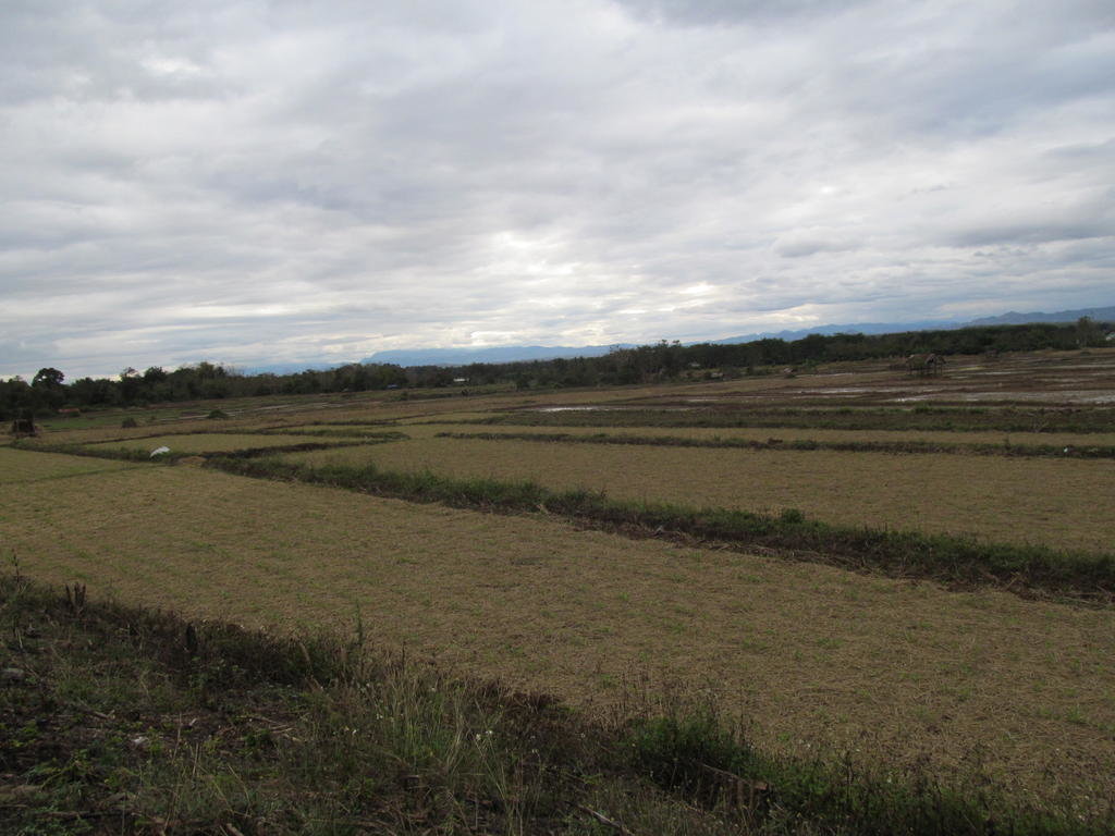
As usual I have to walk through a field of tobacco to get there


Vegetarian pizza at Nan Steakhouse 165 Baht

