bsacbob
Administrator (Retired)
- Joined
- Jul 1, 2012
- Location
- Chiang Rai
- Bikes
- Honda CRM-AR 250, Honda CRF 250-L, Suzuki V Strom XT 650 Honda XR250 Baja BMW F650GS
Mae Sariang offers a wide range of fantastic trails ridable almost year round due to its sandy - rocky terrain, many of which hug the Myanmar border along the Salween river, today's ride would cover perhaps the most well know, the river trail to Tha Ta Fang.
GPX File at the foot of the post.
The trail only 70km long but you tick almost every type of trail riding box along the way, some technical forest trails, river crossings, (numerous) single track and of course spectacular views.
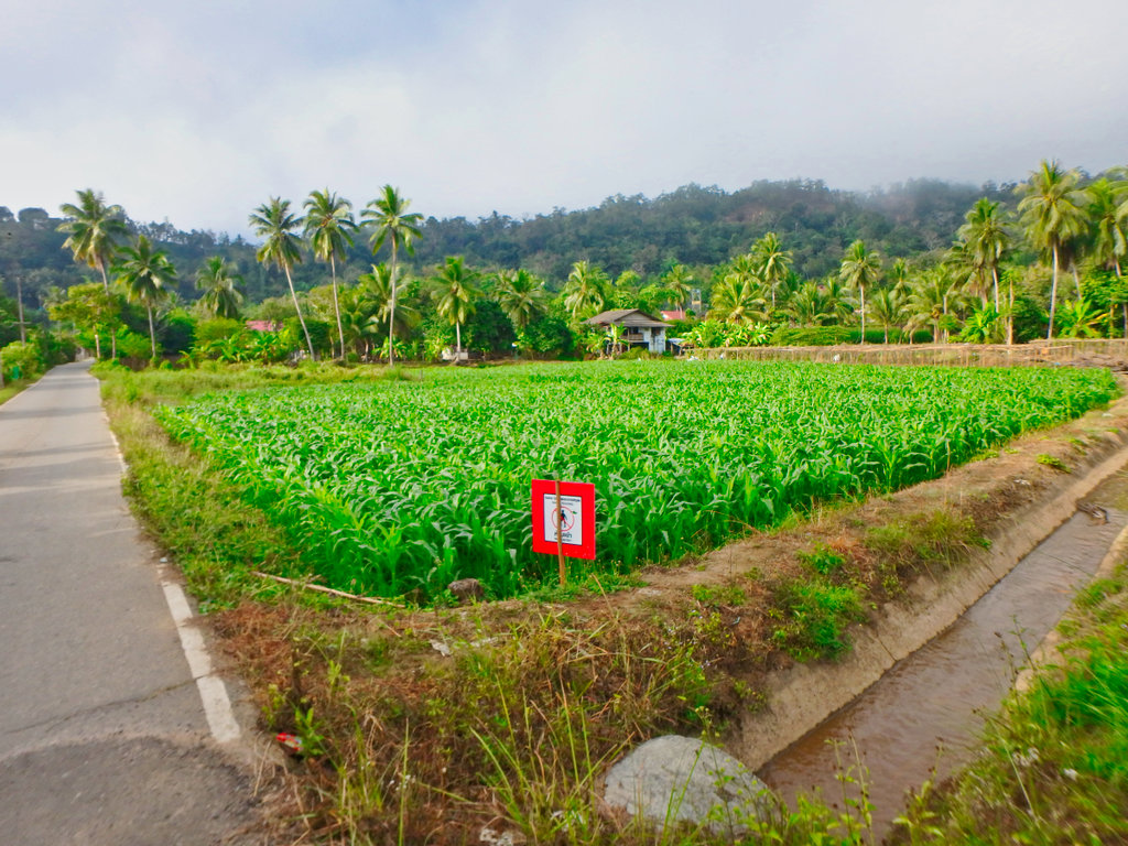
This sign amused me, warning of danger of walking in pesticide-sprayed fields, but it's ok to eat afterwards!
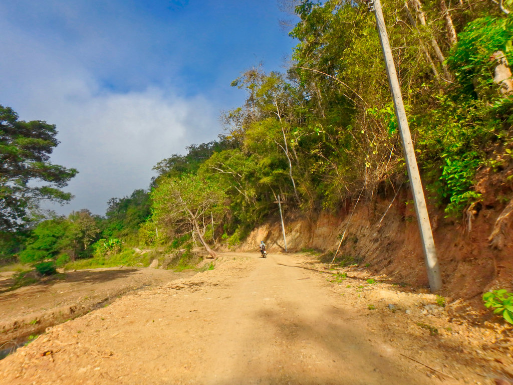
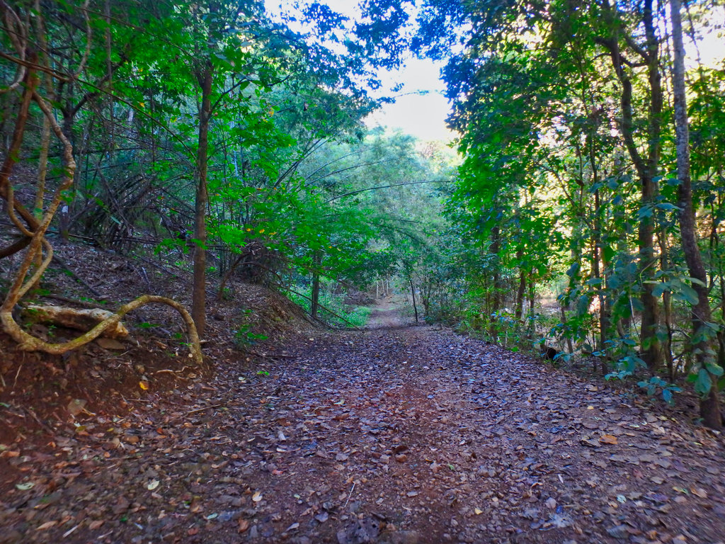
Making the turn off the paved to the lesser used forest trail.
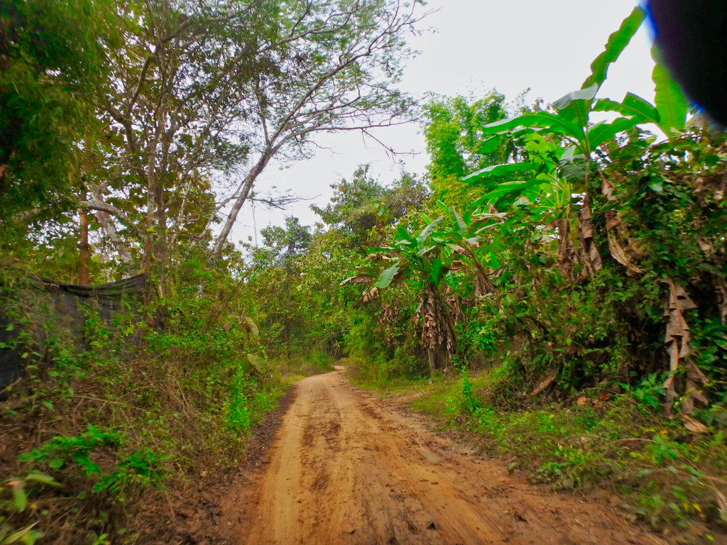
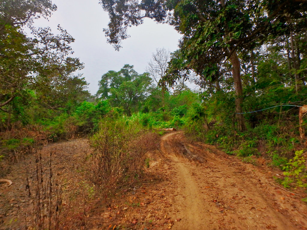
First signs it was to be a little bit sloppier than I bargained for.
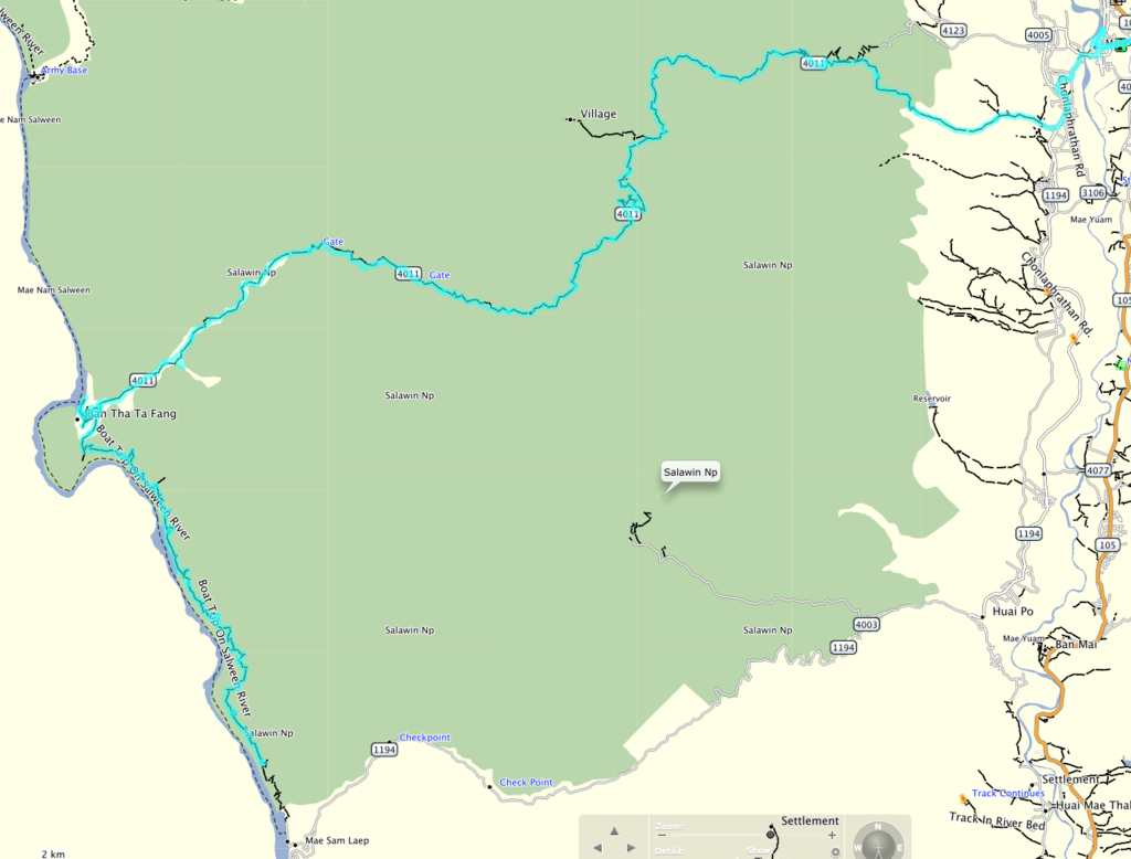
The planned route.
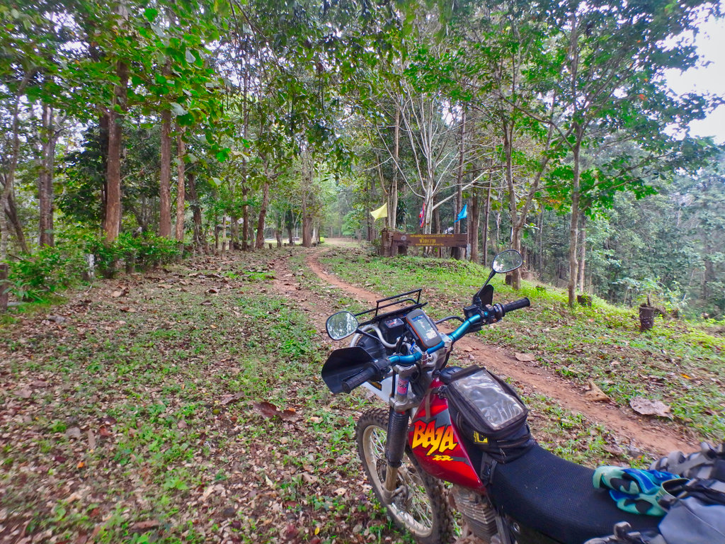
Rangers station in the Salween NP
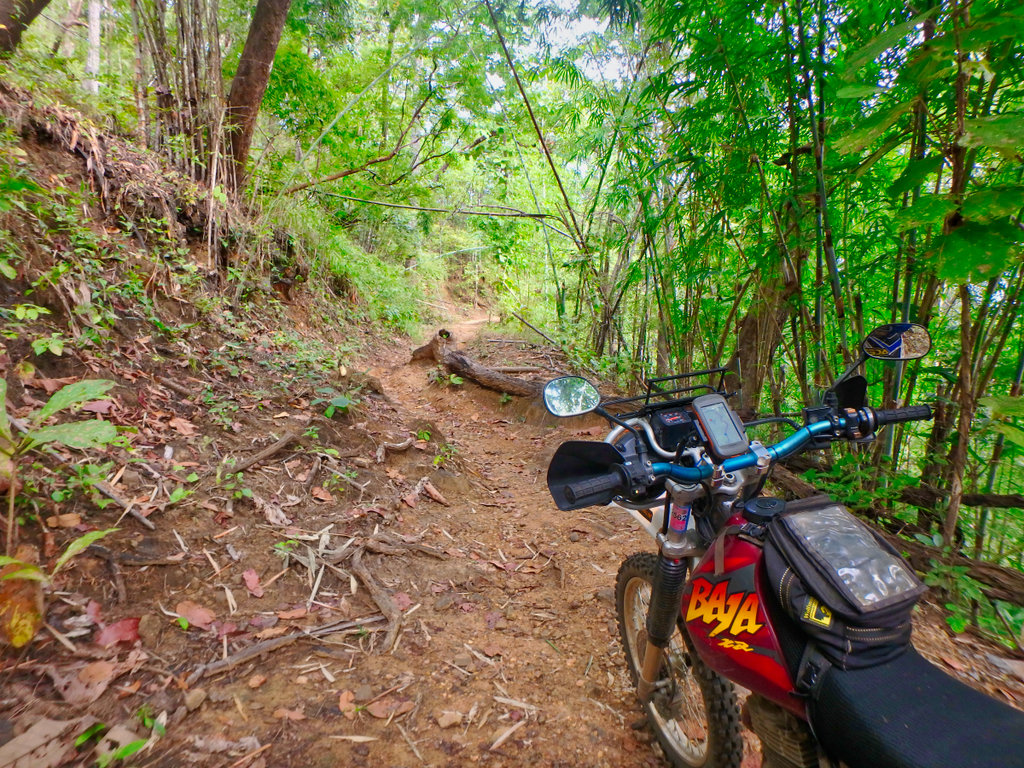
From here the still starts to get fun.
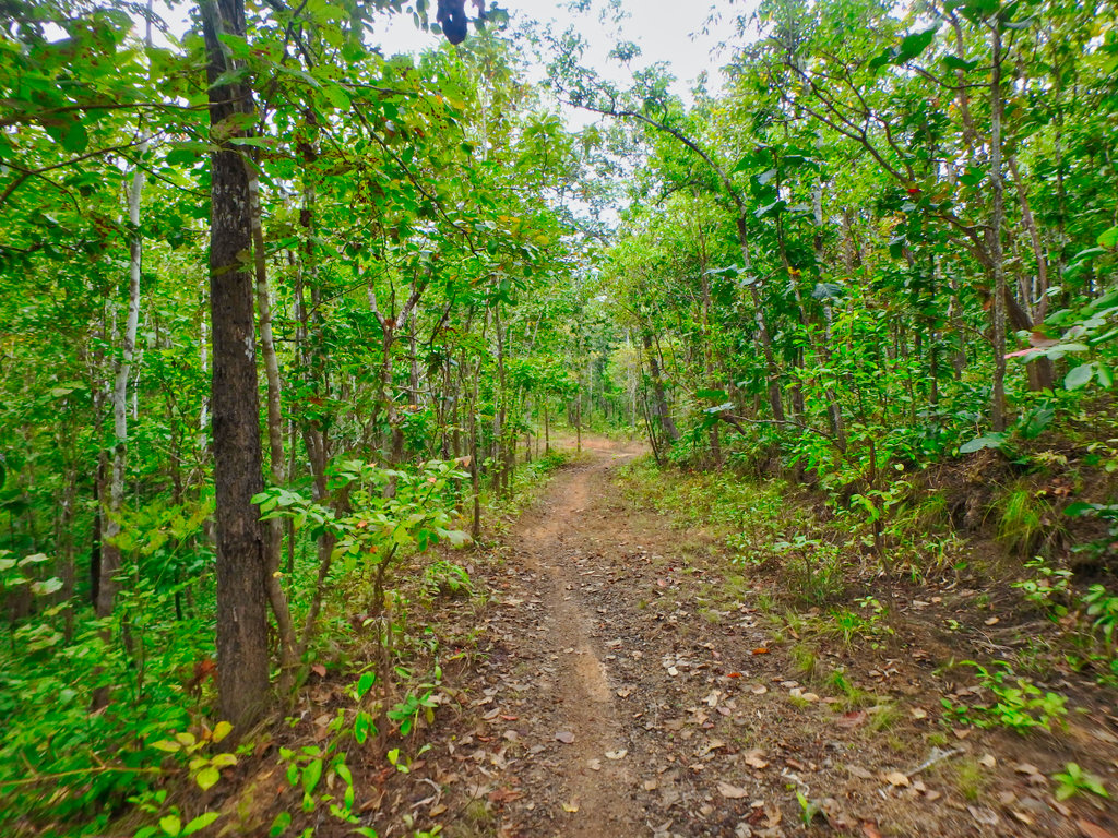
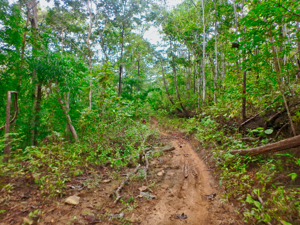
Wet and steep got the spider senses tingling.
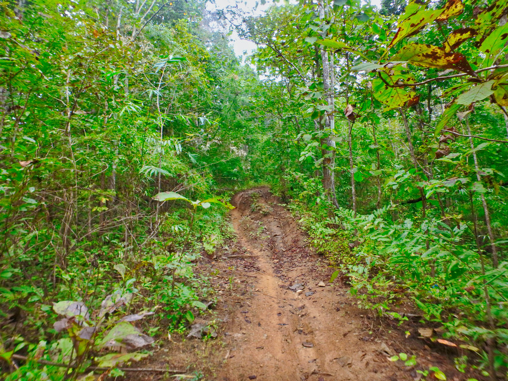
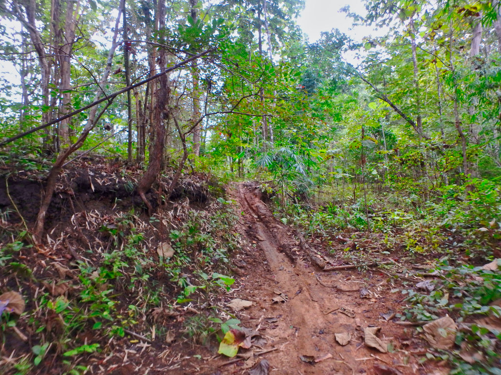
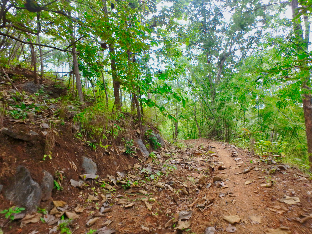
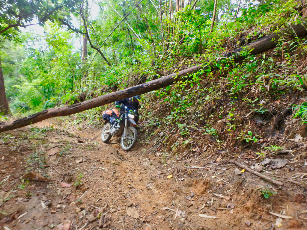
Des picking his way through.
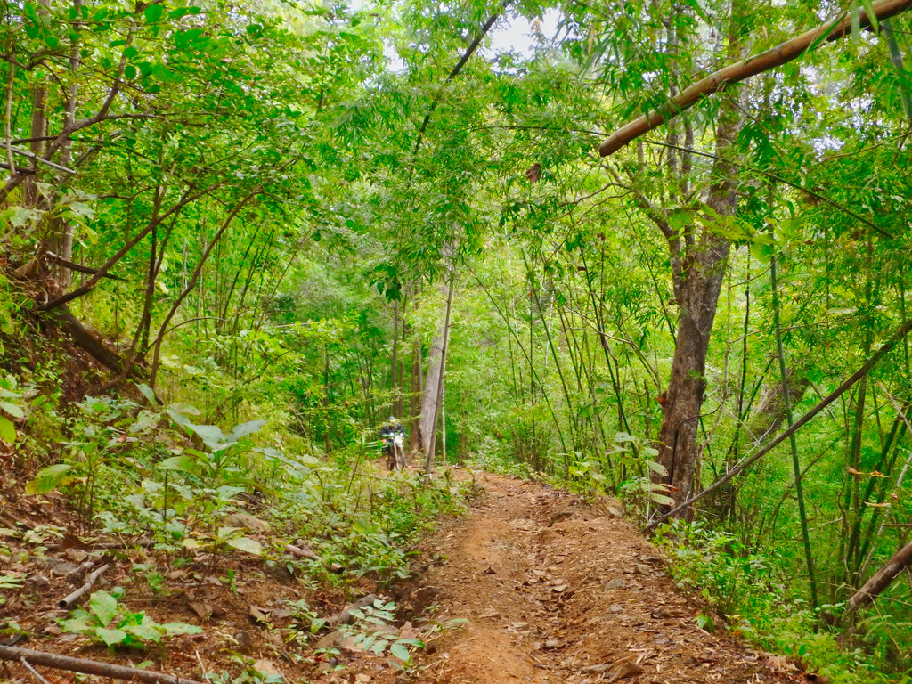
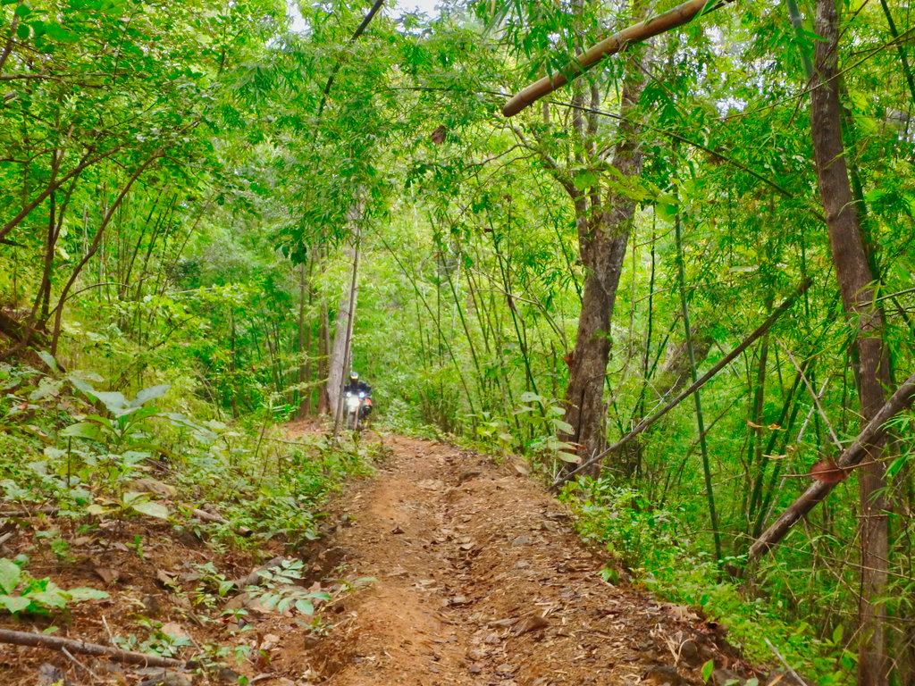
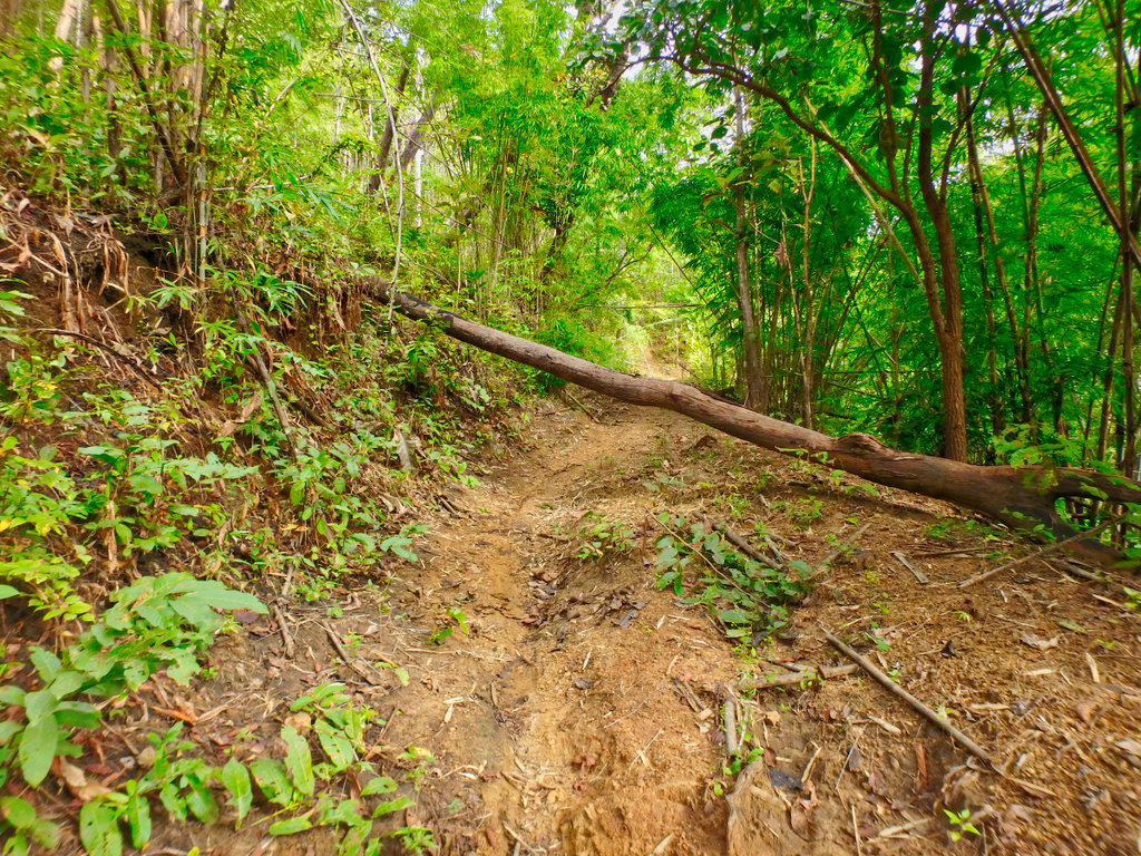
Several trees across the trail, all easily navigated.
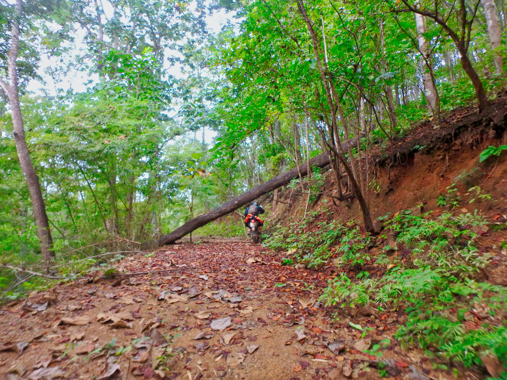
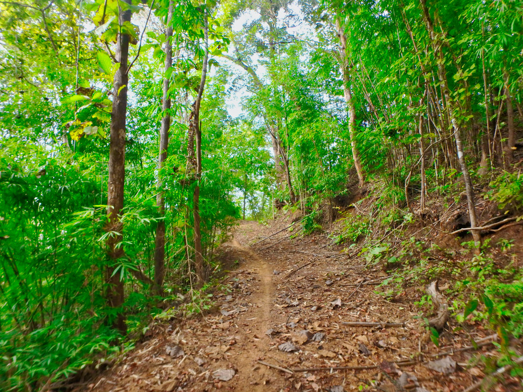
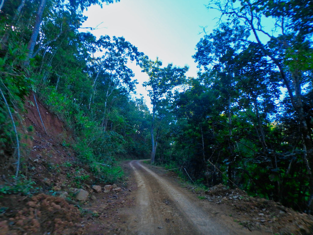
This section is only around 10km but sure packs a lot in.
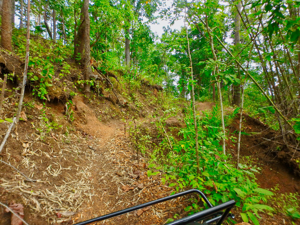
Not soon enough for Des the pavement comes into view.
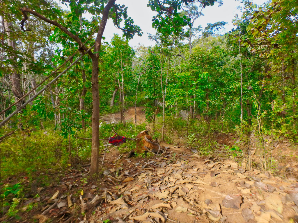
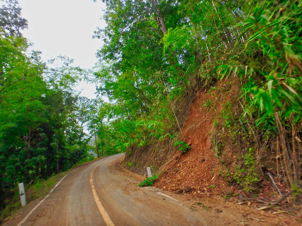
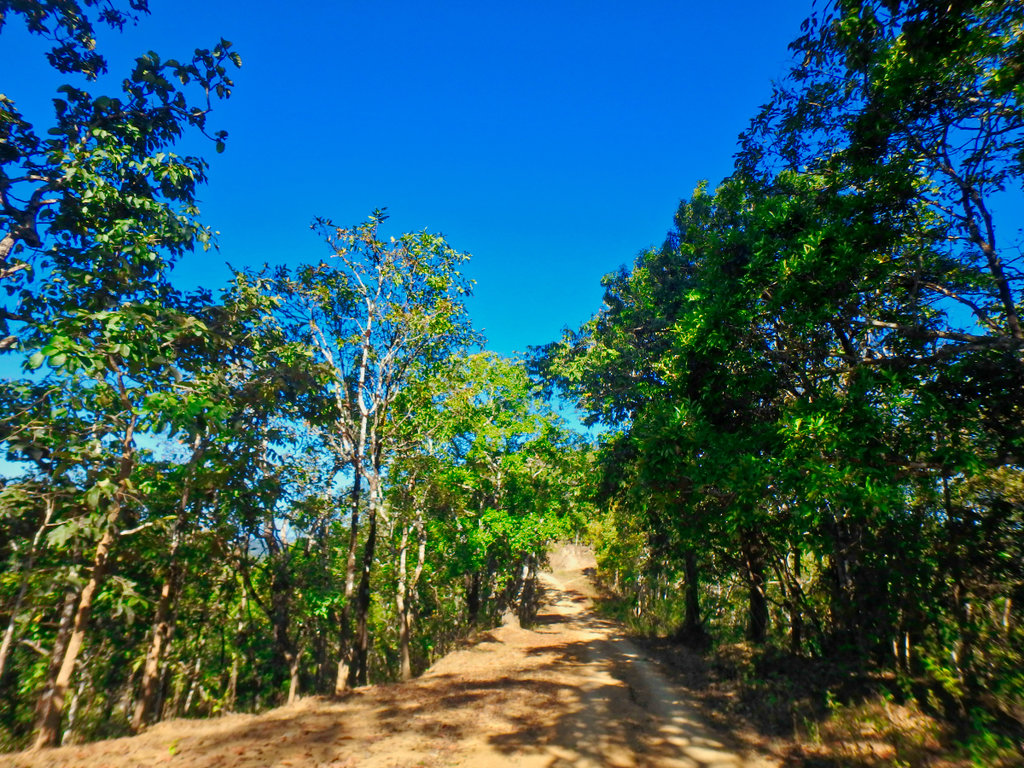
Paved road soon stops then onto a graded surface.
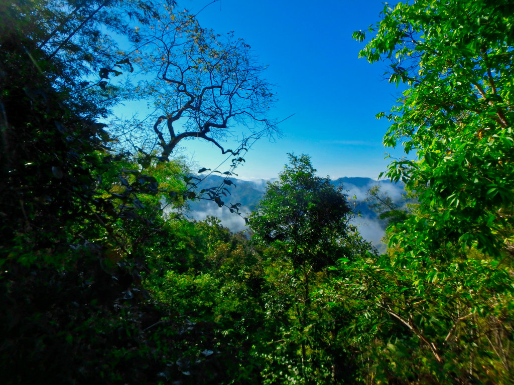
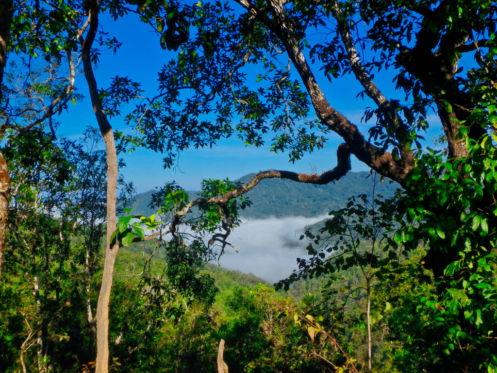
Some great views early in the morning.
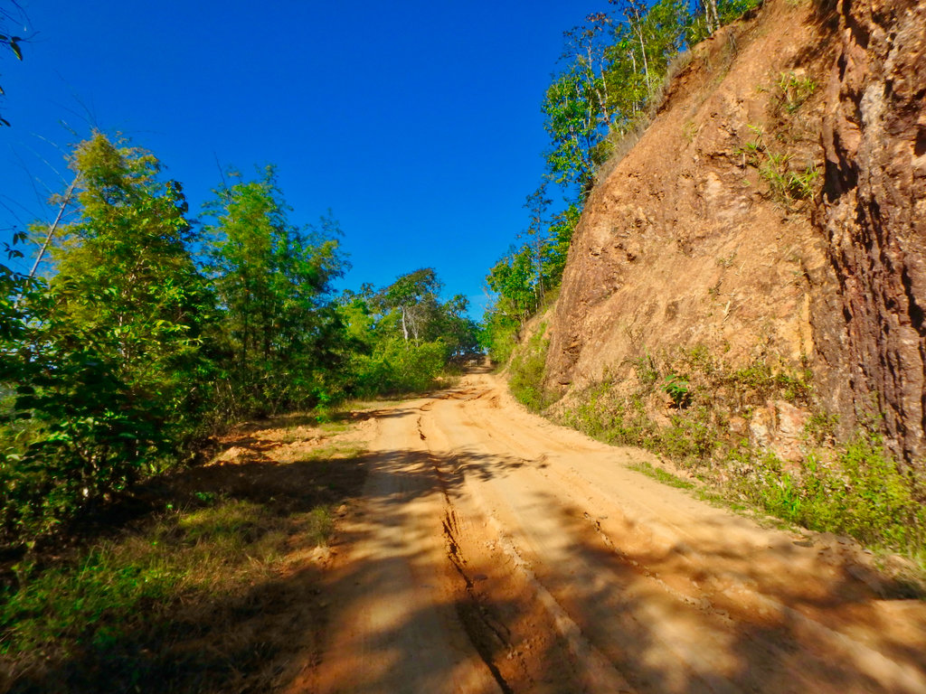
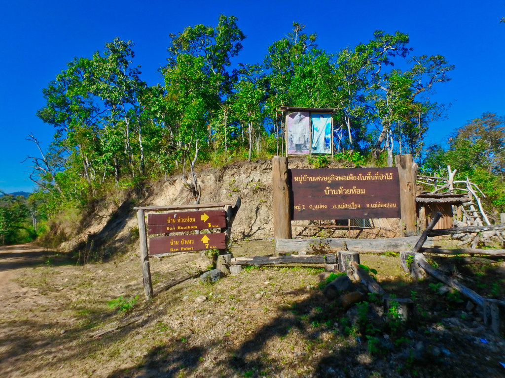
Turn for Ban Huai Hom village.
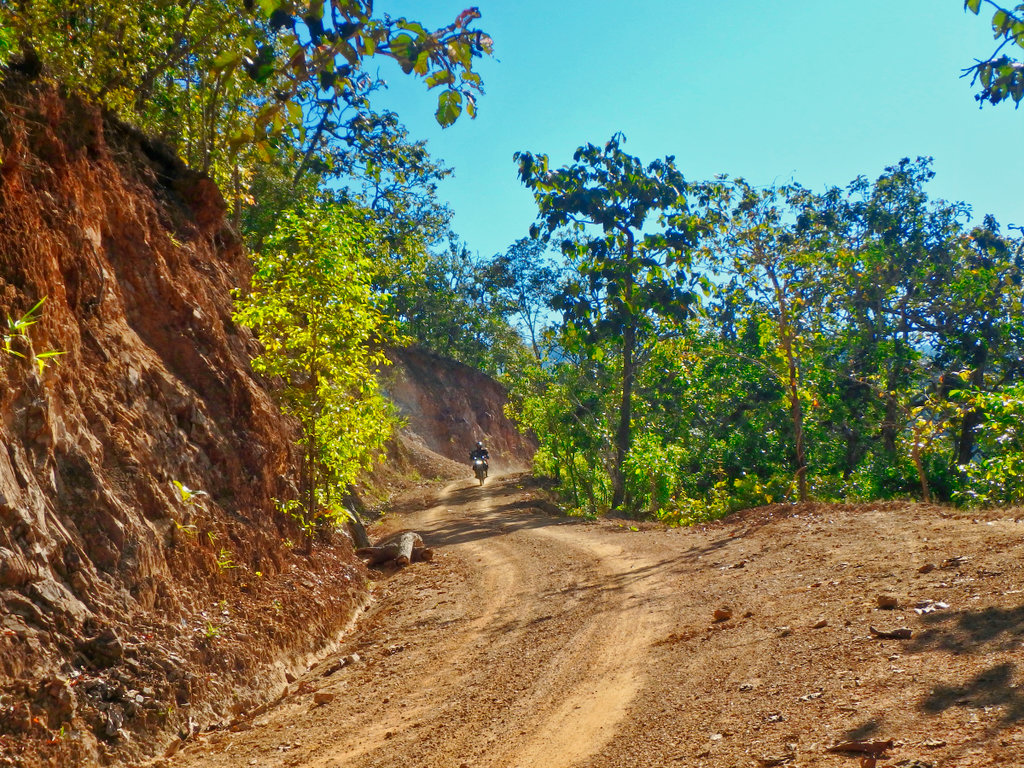
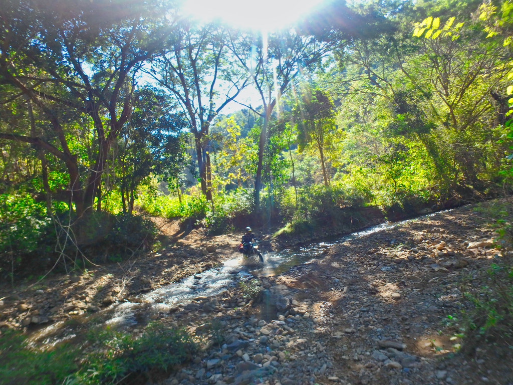
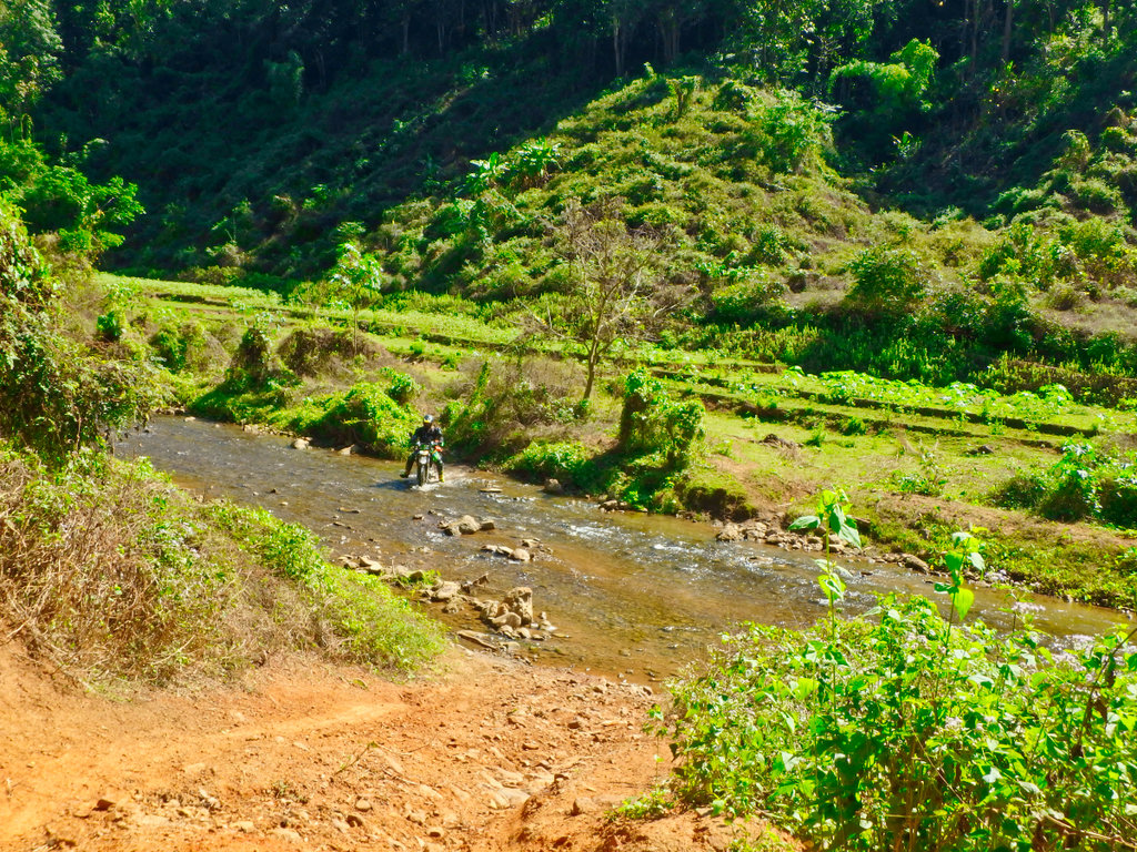
From the turn the trail drops down to river level and soon the first water crossing.
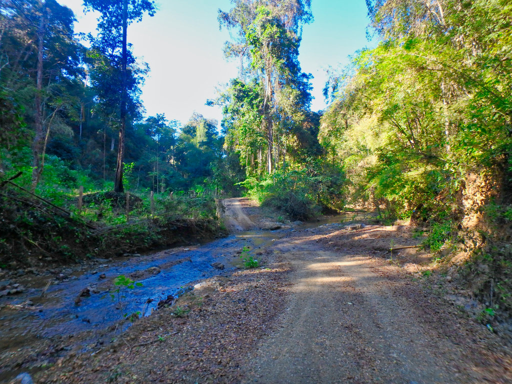
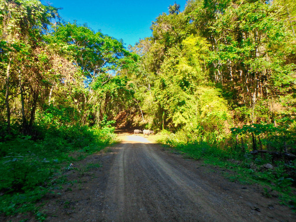
Must learn to keep my bloody fingers off the lense !!
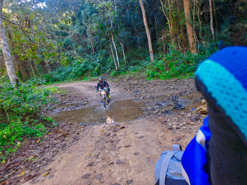
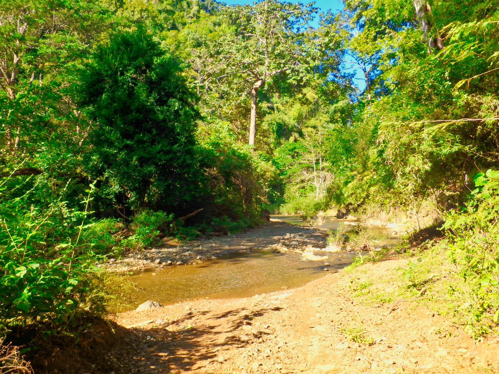
A lovely cool section along the river, rainy season would be a different story.
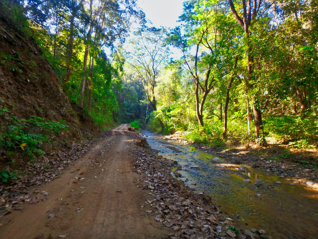
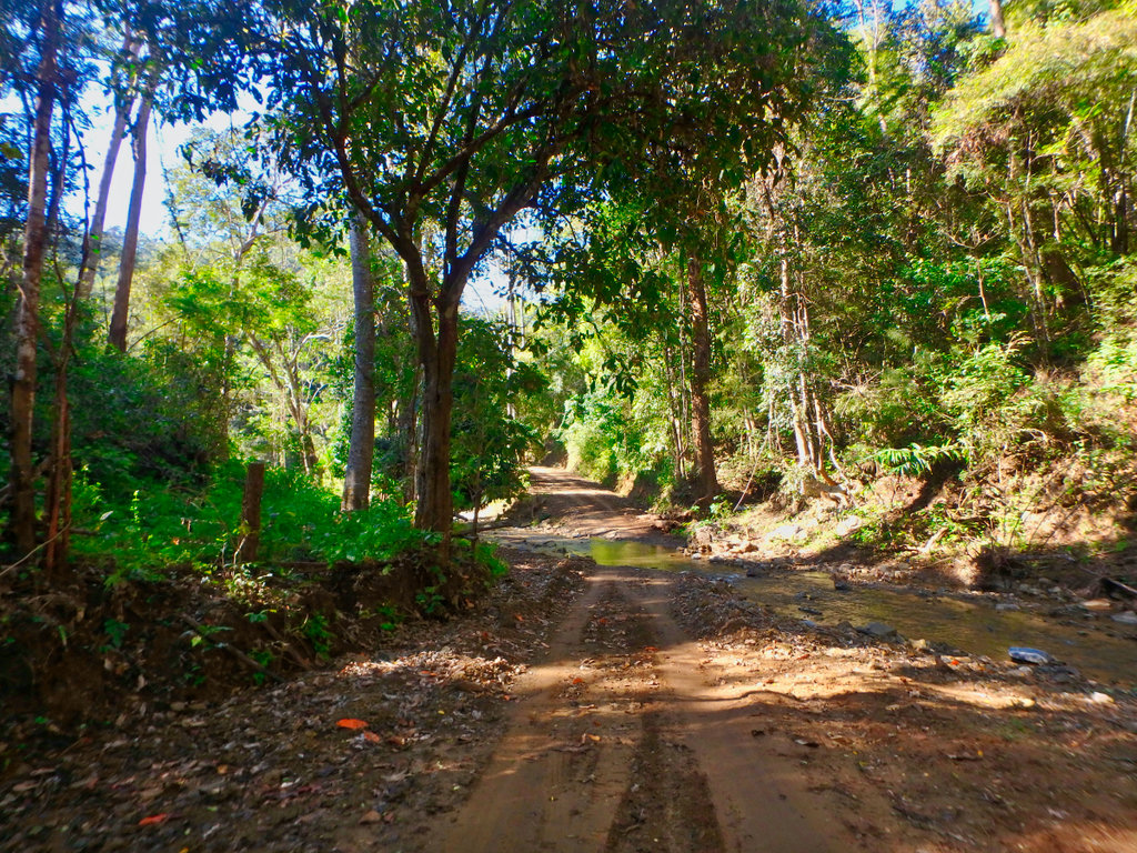
The trail moves slightly each year after the rainy season, often taking you along the river.
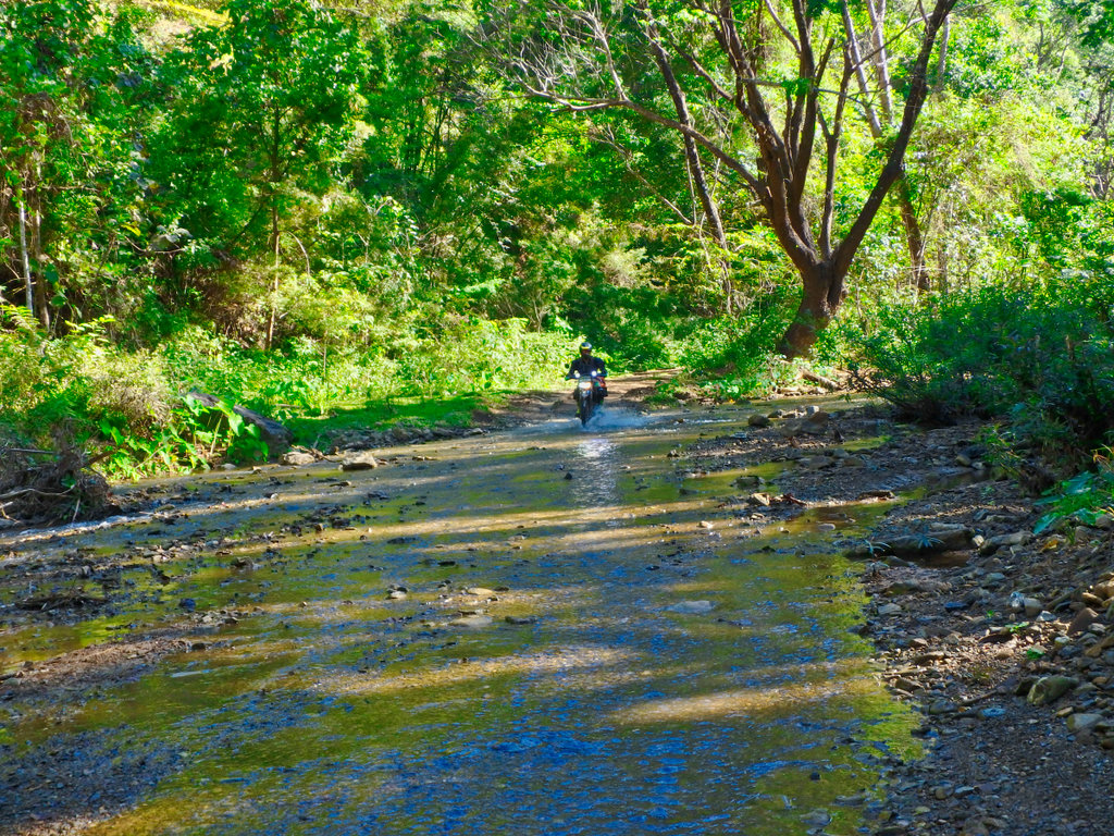
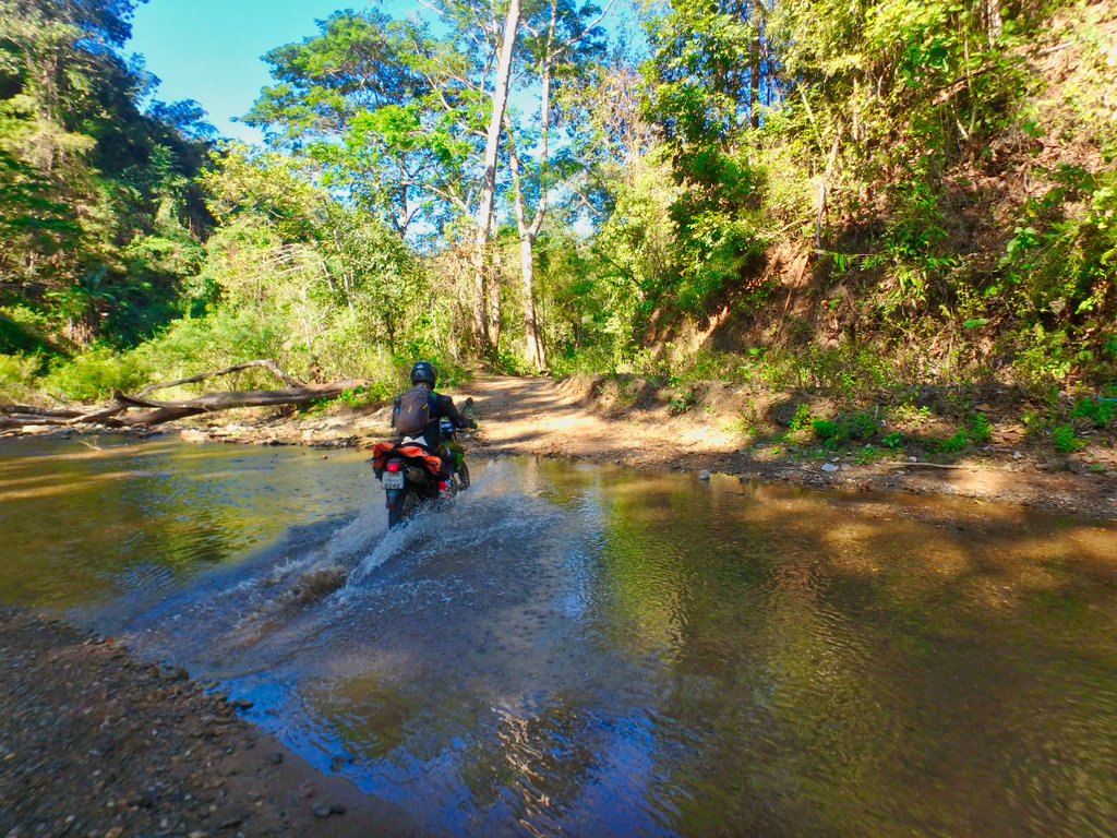
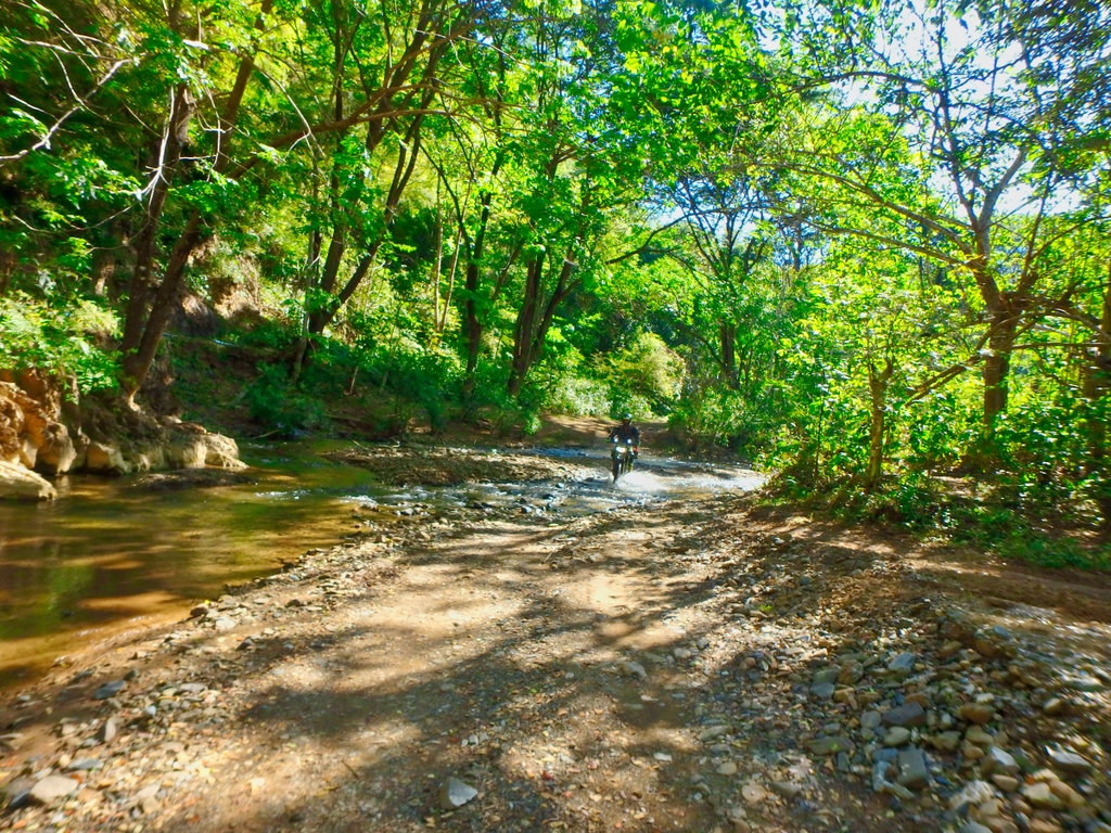
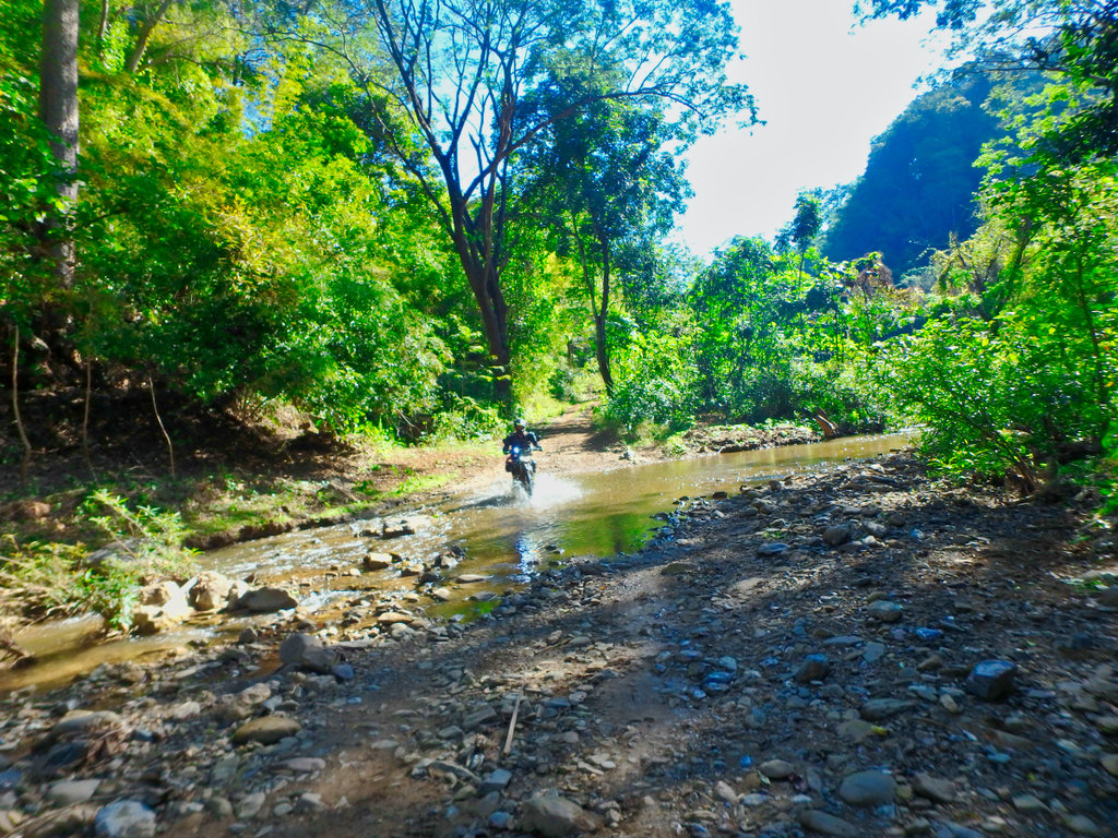
None of the crossings are particularly deep, although many are rocky covered in green algae.
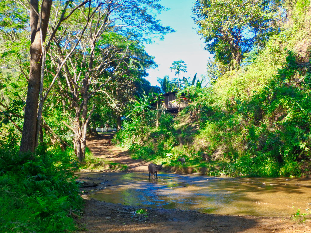
We waited for a while as this mother and calfs had a drink and allowed us to cross.
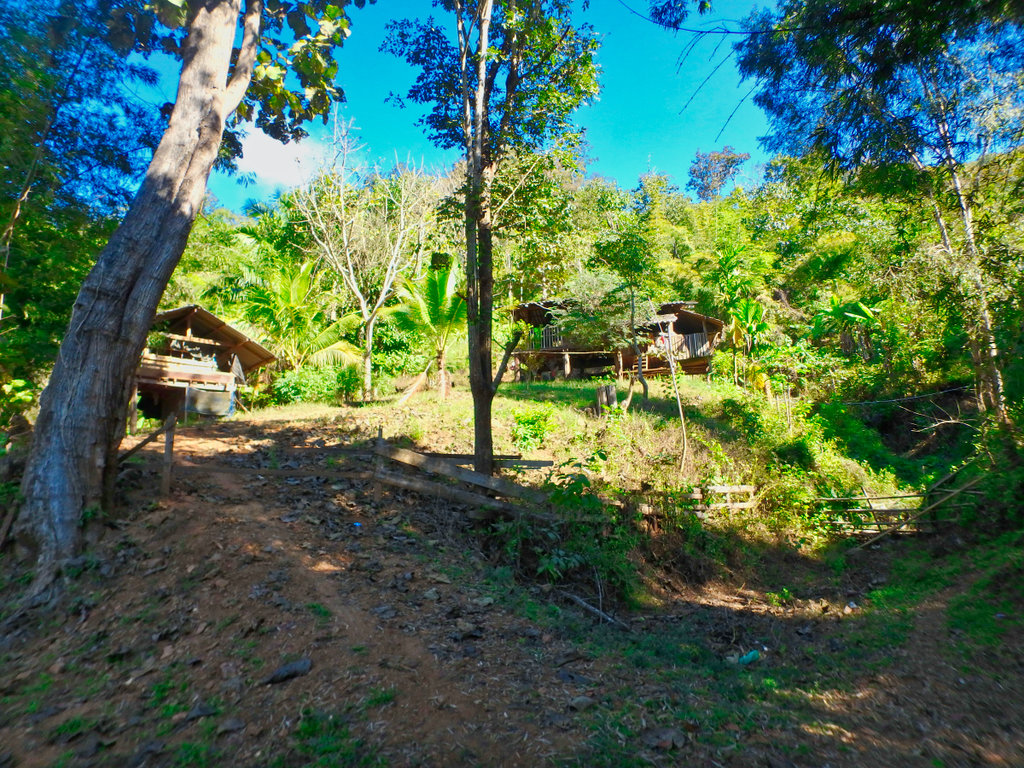
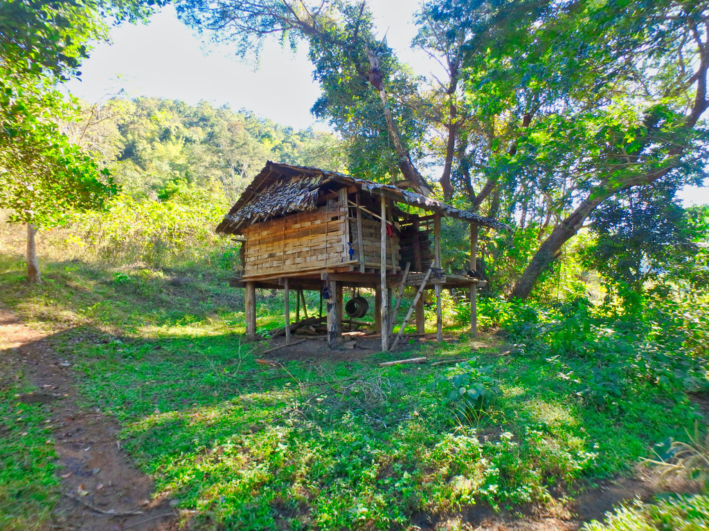
Several unmarked settlements along the way.
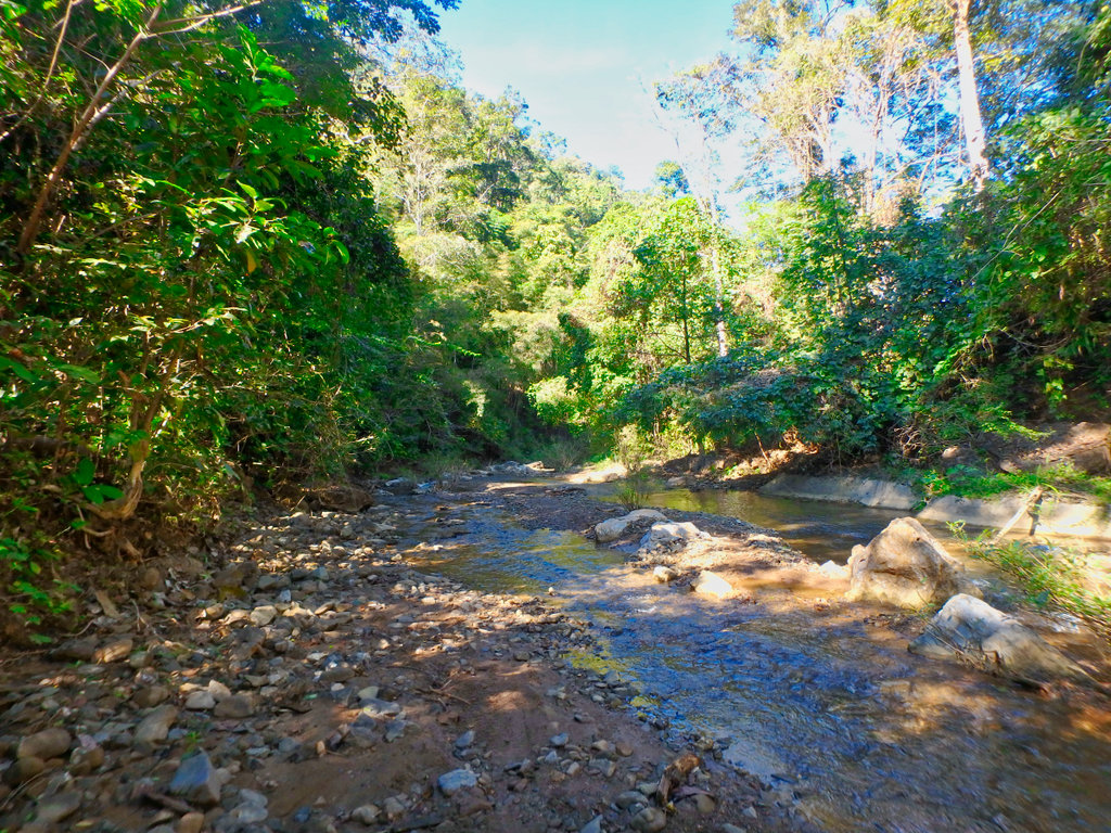
Fine example of the rocky shale surface.
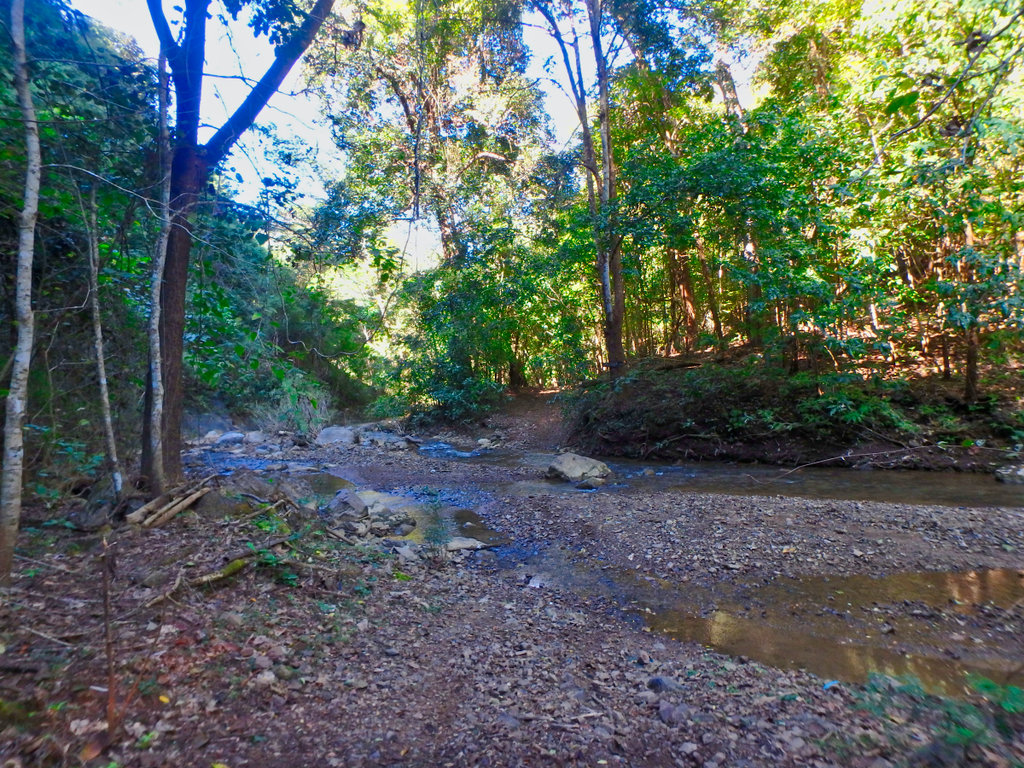
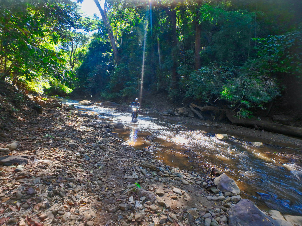
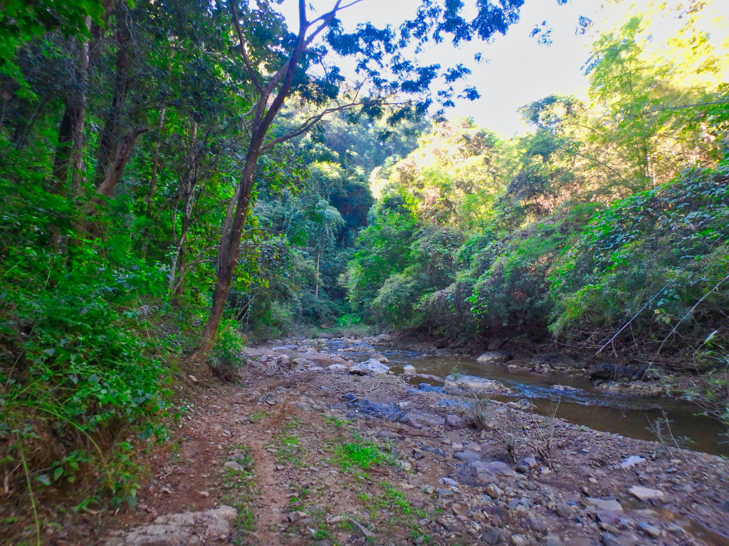
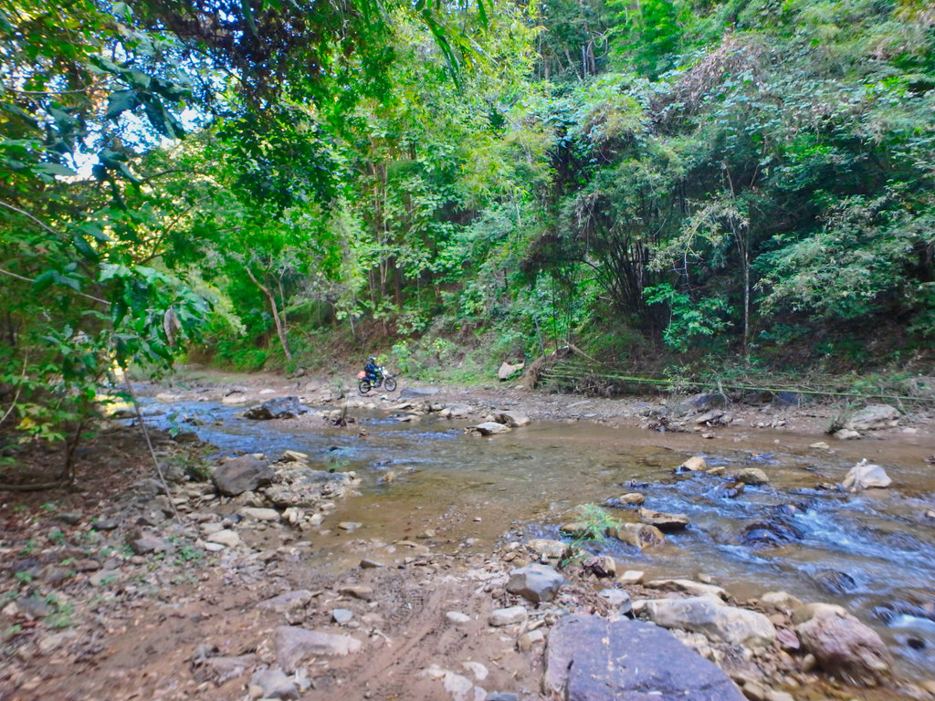
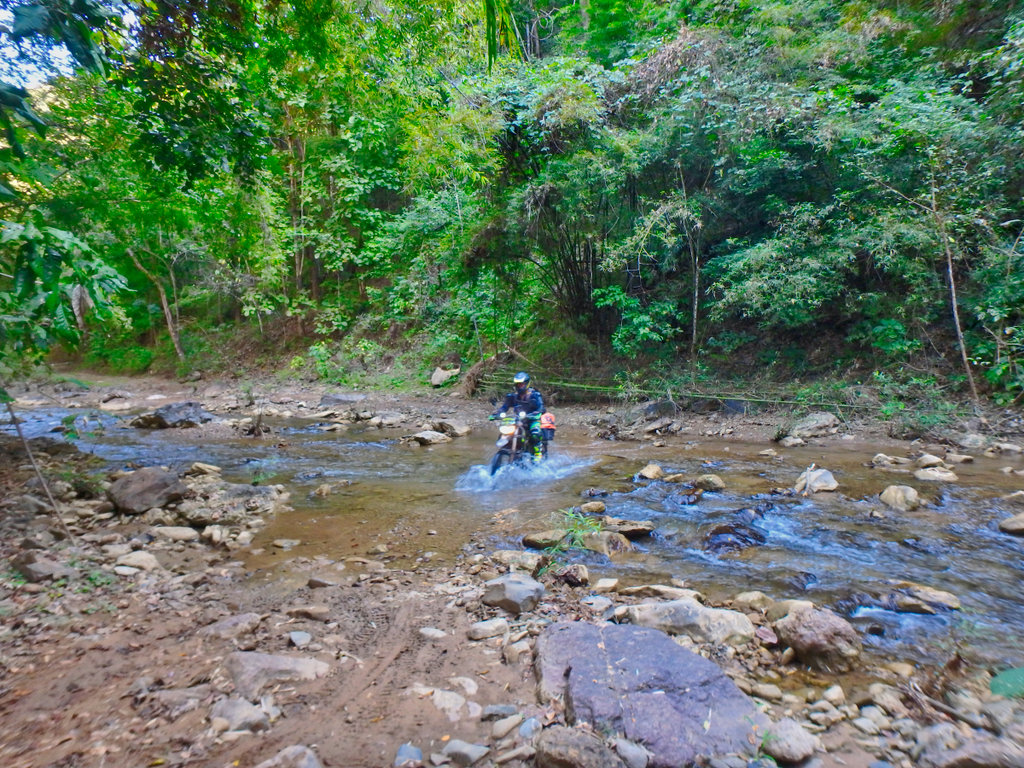
Great crossing this one.
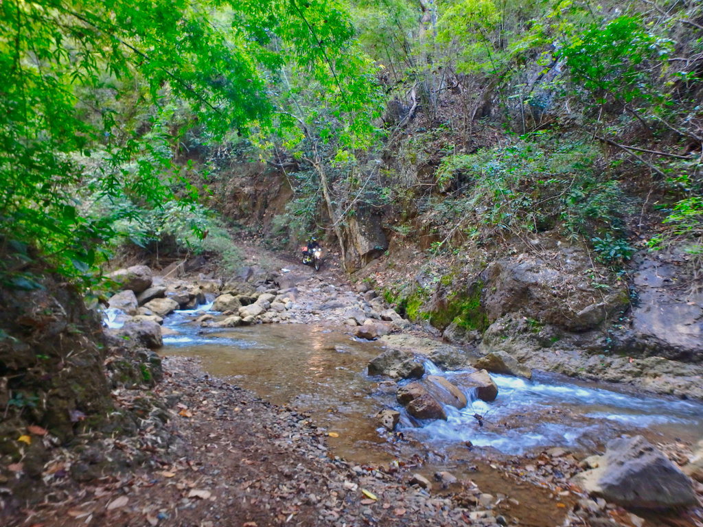
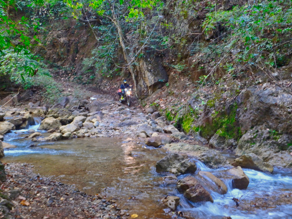
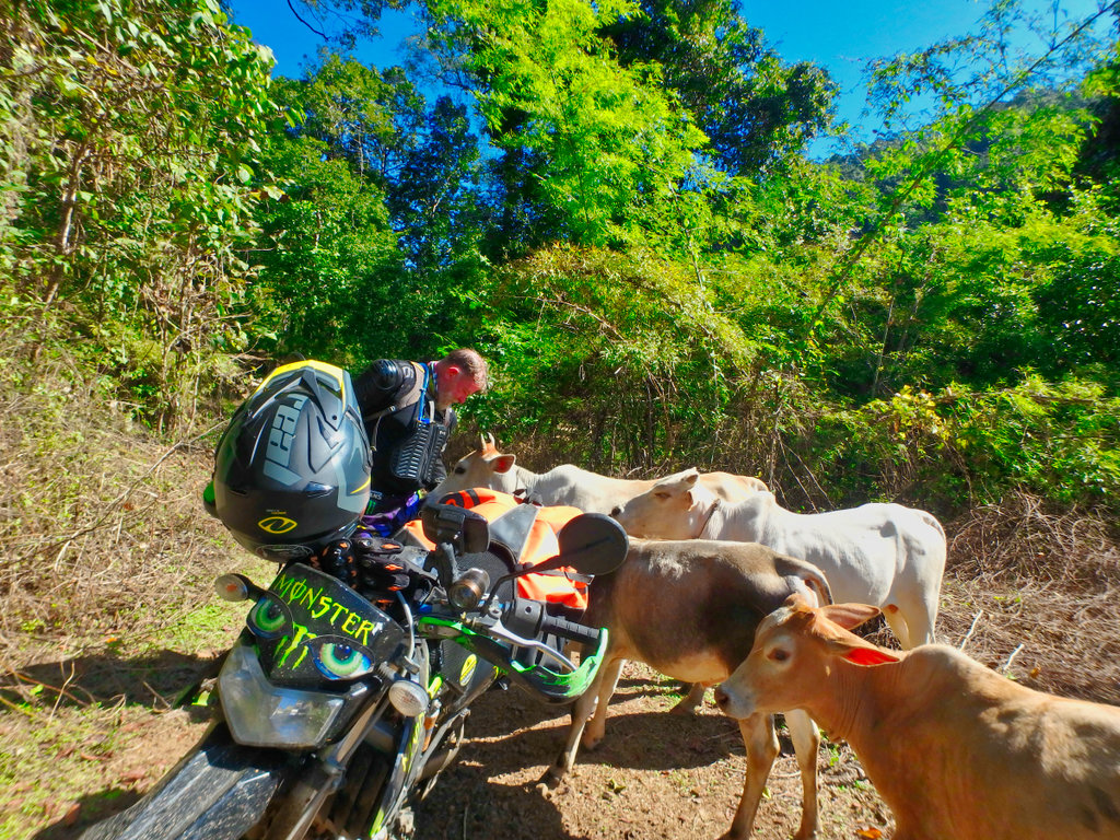
Cows blocked the way, so we waited for them to clear.
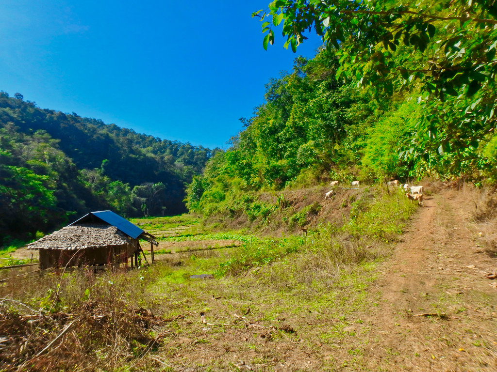
Looks like they are interested in us.
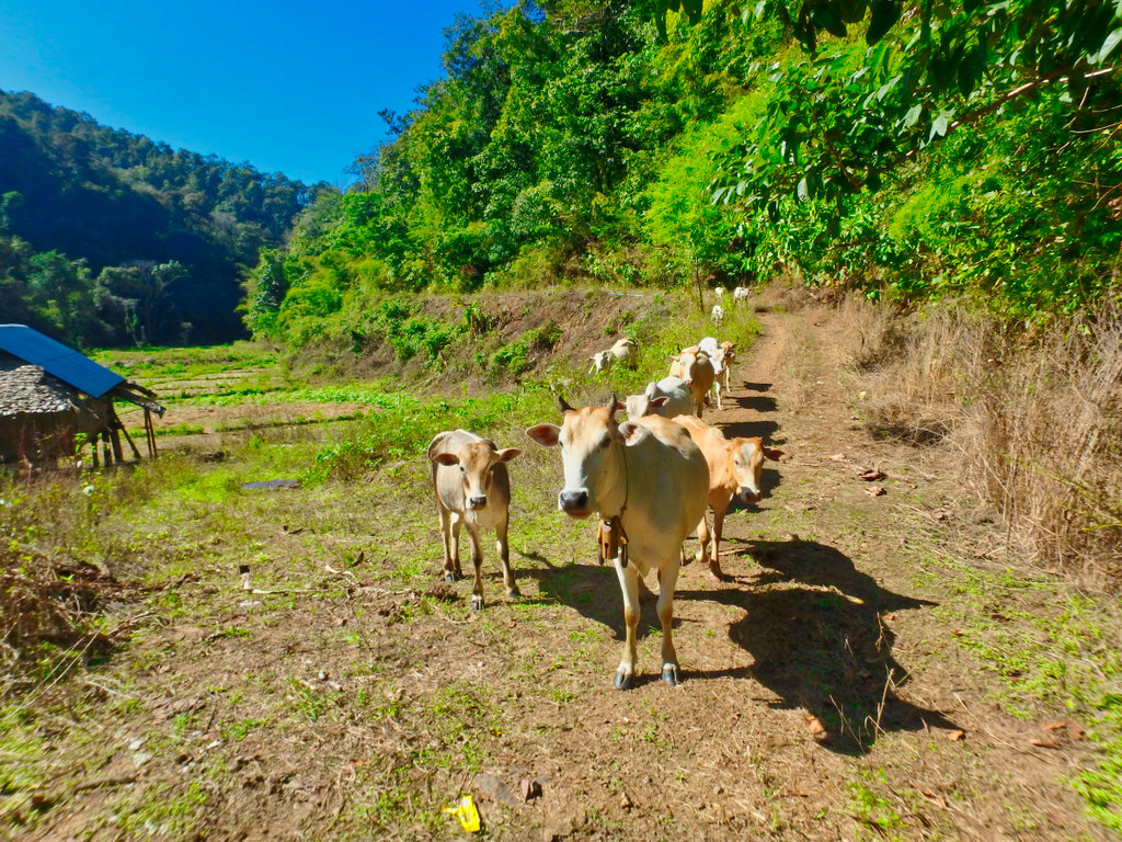
Very inquisitive, we had to scare them off to proceed.
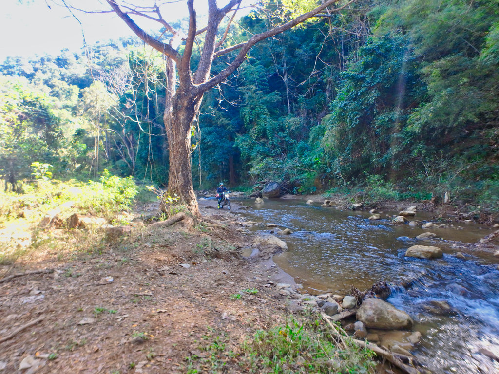
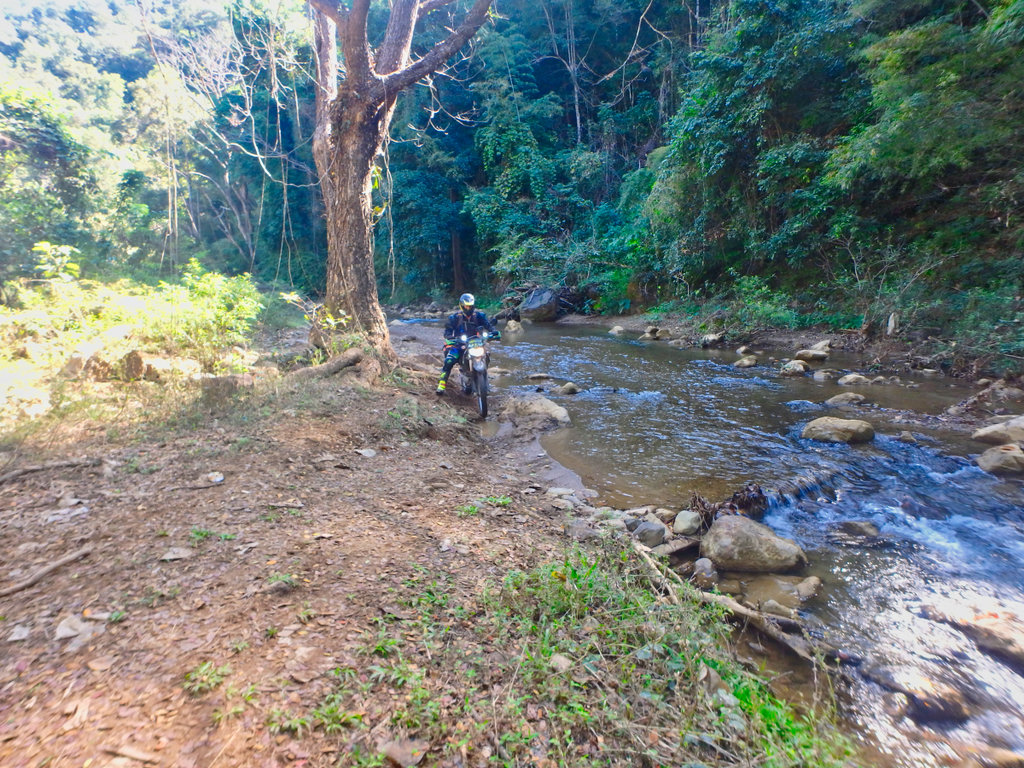
The crossings come thick and fast as we cross from one side to the other.
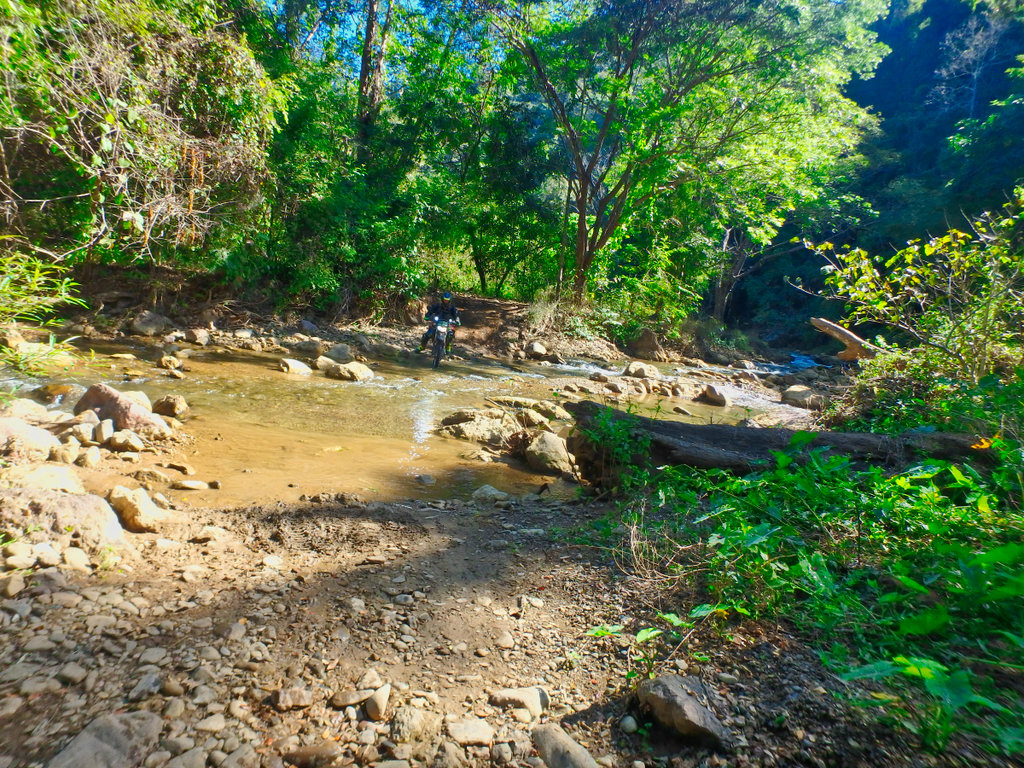
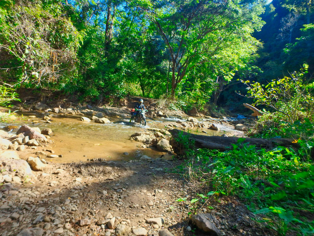
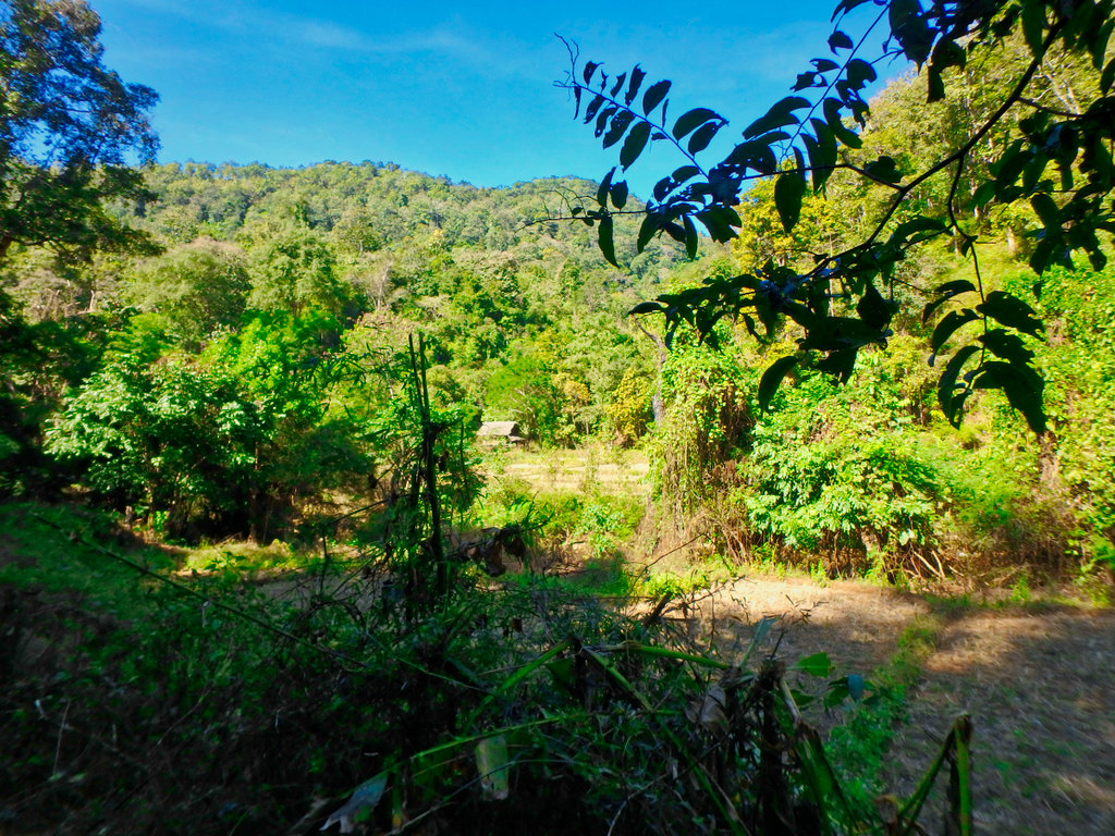
Some very remote dwellings abandoned i am sure.
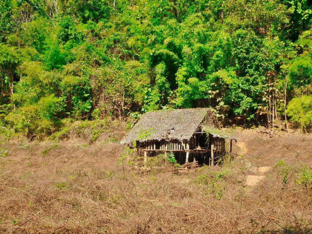
stopping and walking to scout a way out of the river, even with a track its hard to find direction.
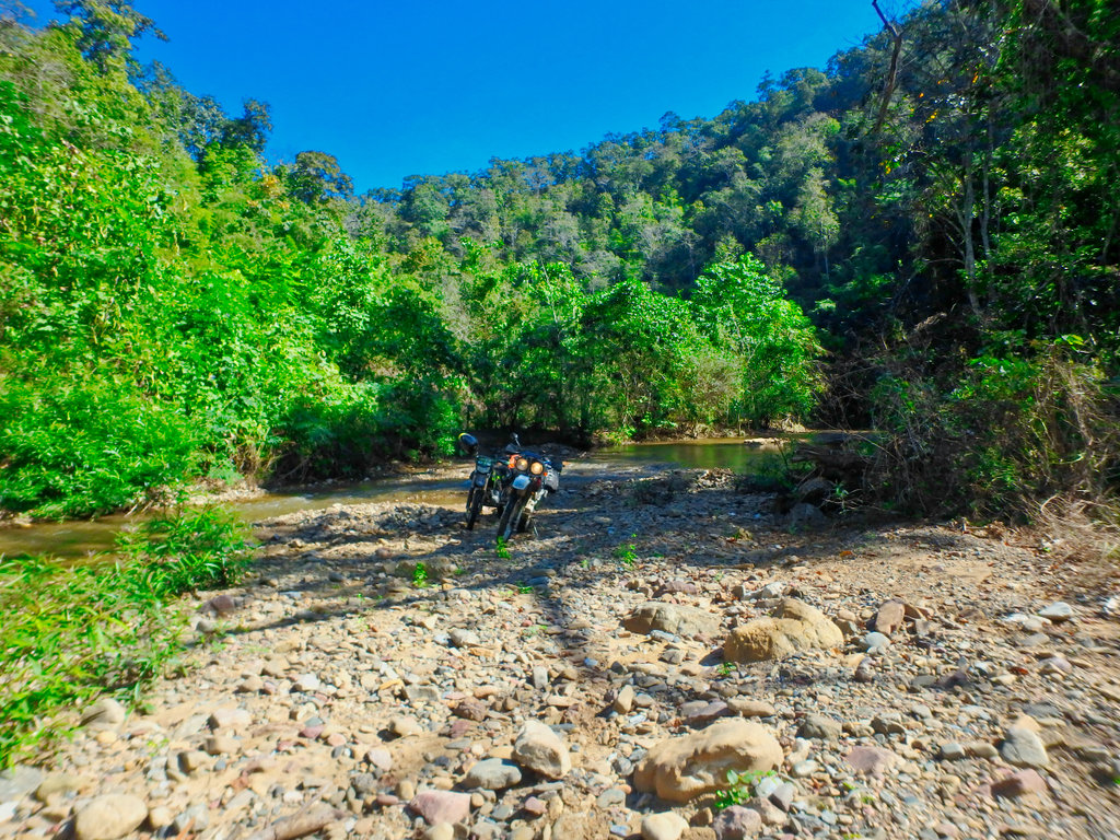
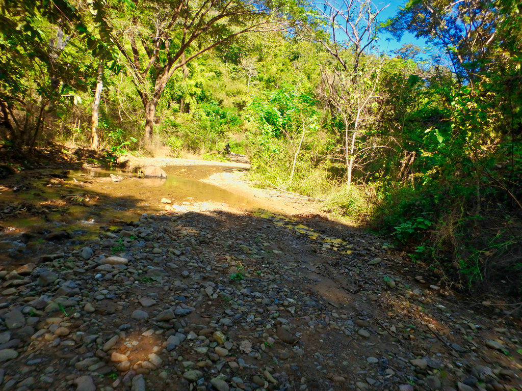
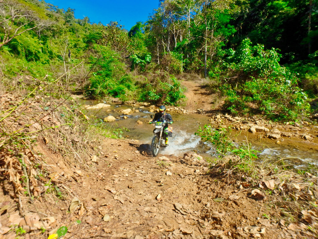
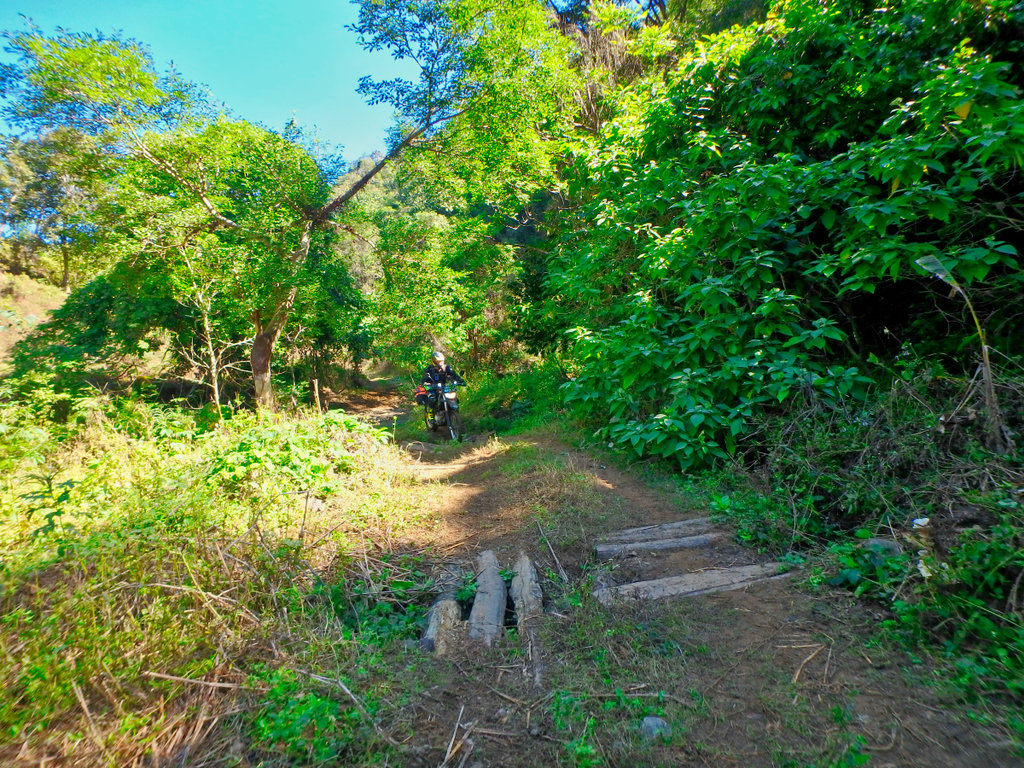
Des almost caught out on the green algae covered rocks.
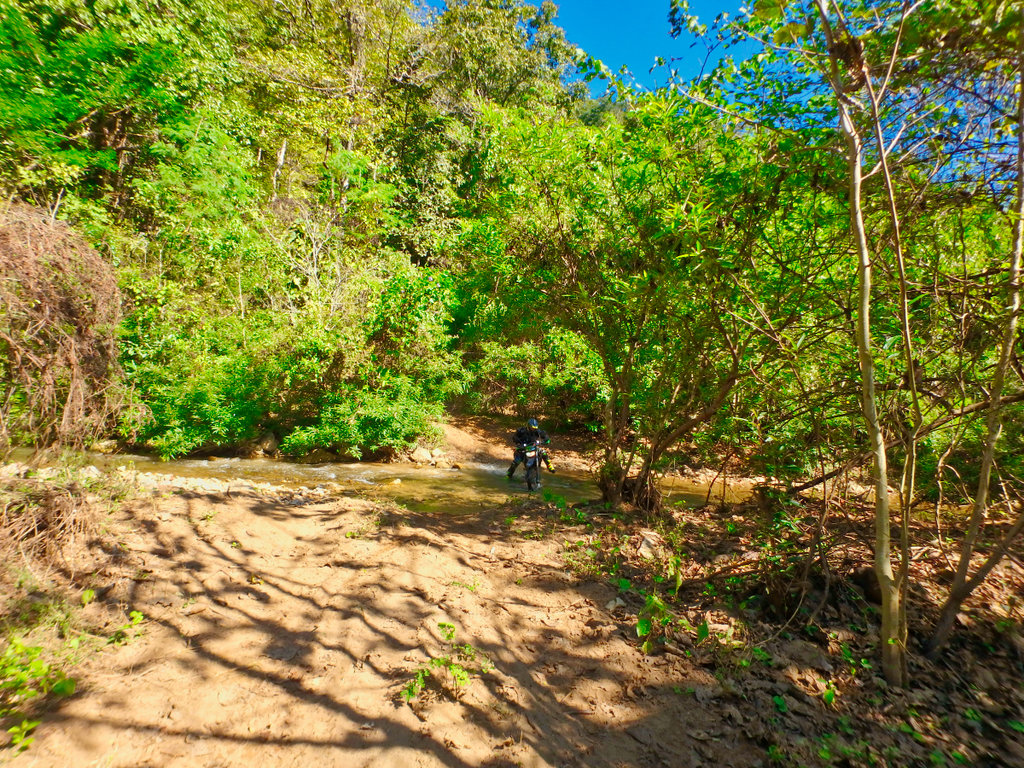
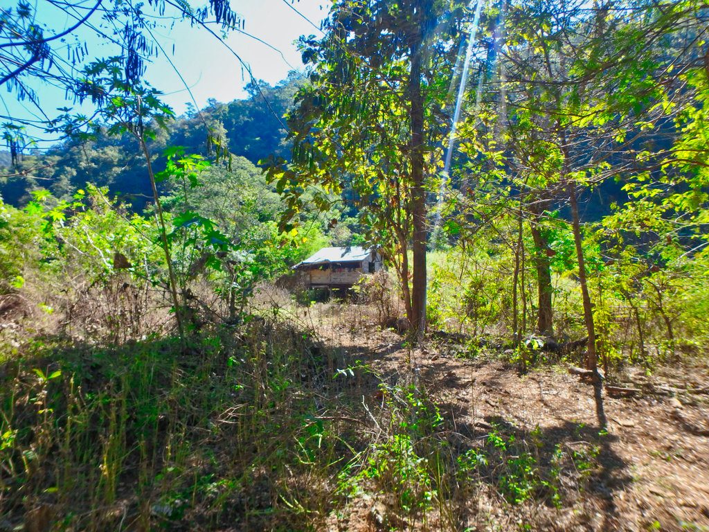
Not having fun...
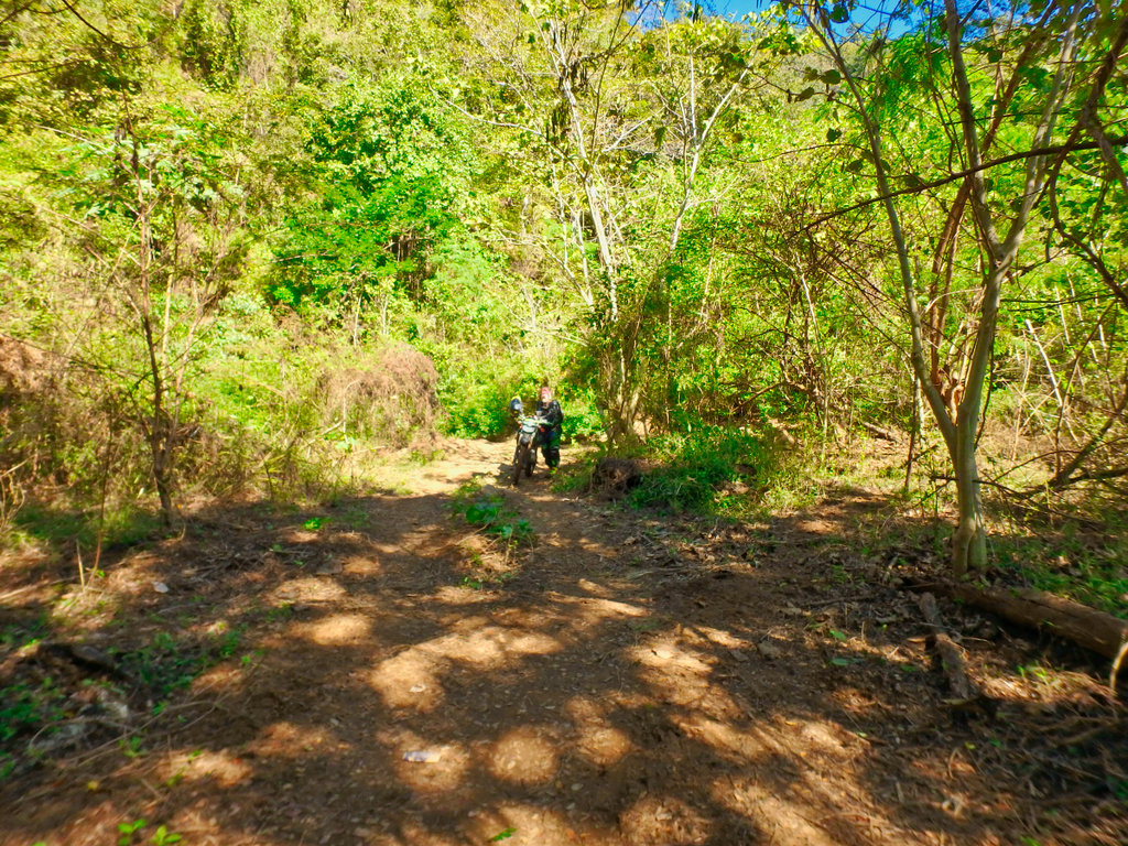
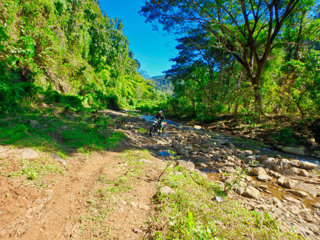
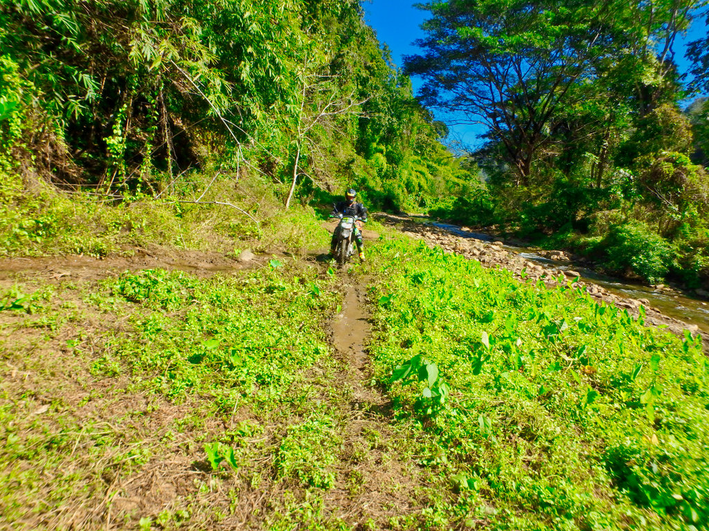
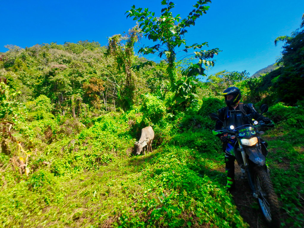
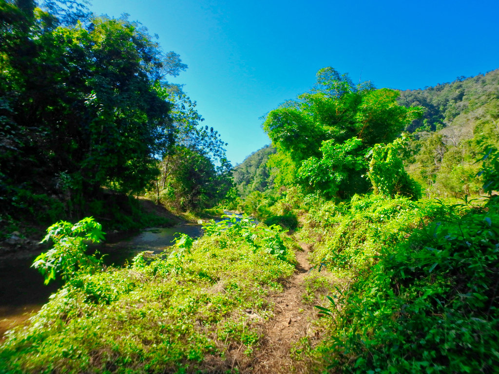
We lost the trail at this point and poked around to find signs of other riders passing.
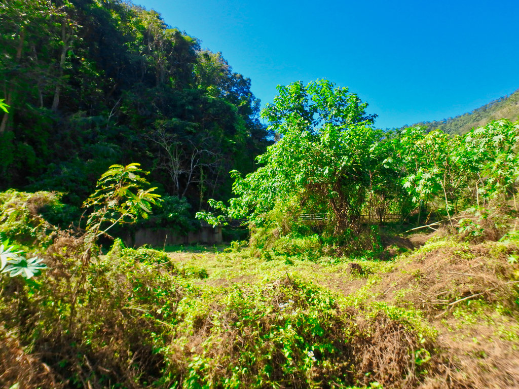
Found this weir but no easy way to cross.
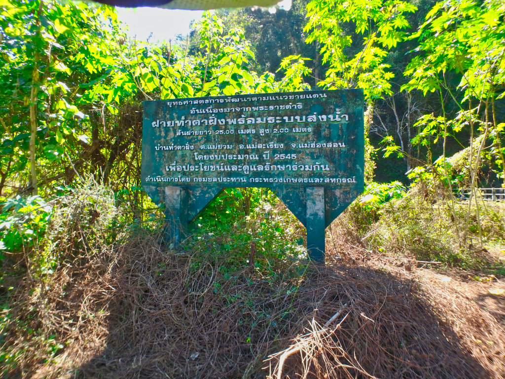
The trail used to be on the other side!
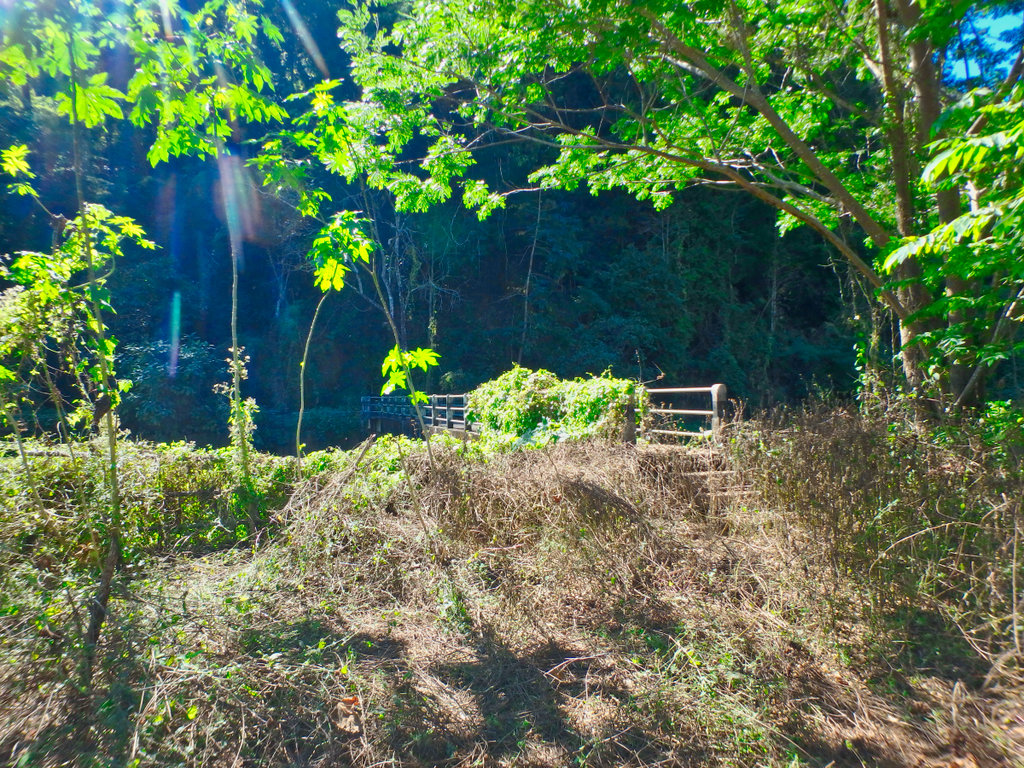
Back tracking we found a way out.
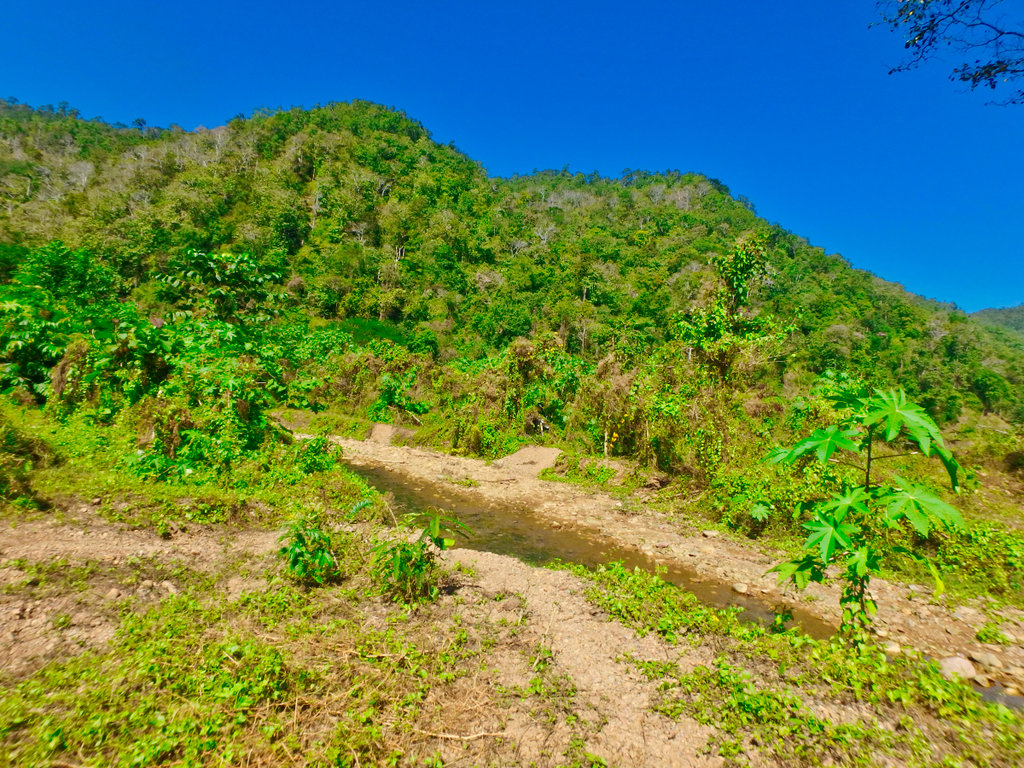
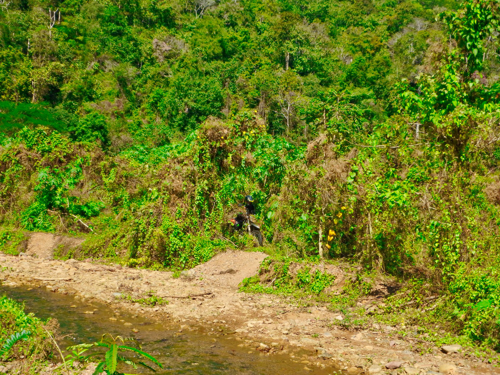
Nope not this way.
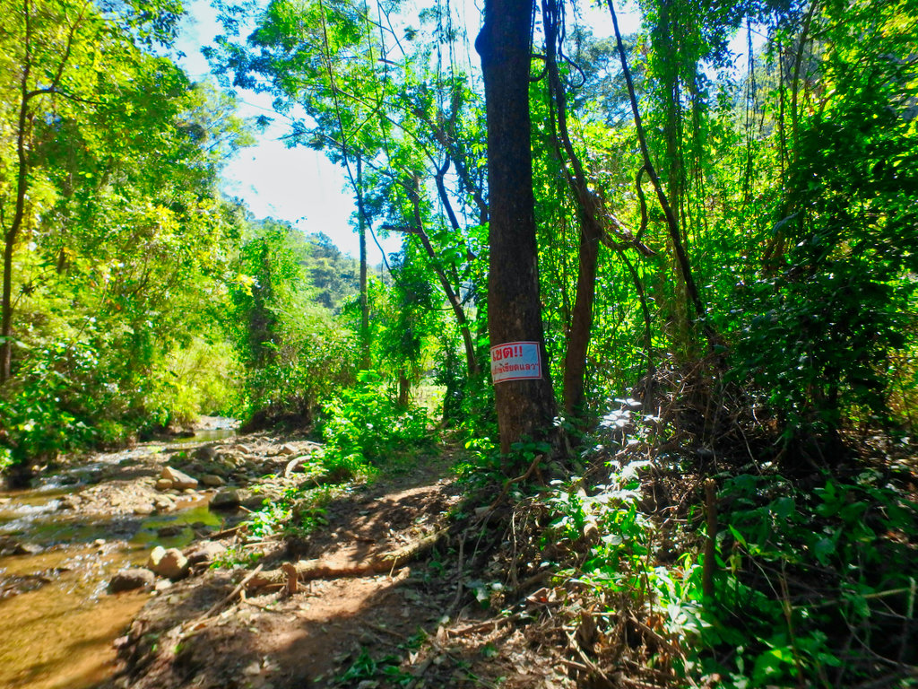
Back again this time on the trail.
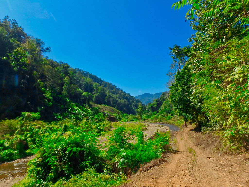
An arrow was conveniently pointing the way, but I am sure the farmer doesn't want bikers riding through his rice paddies.
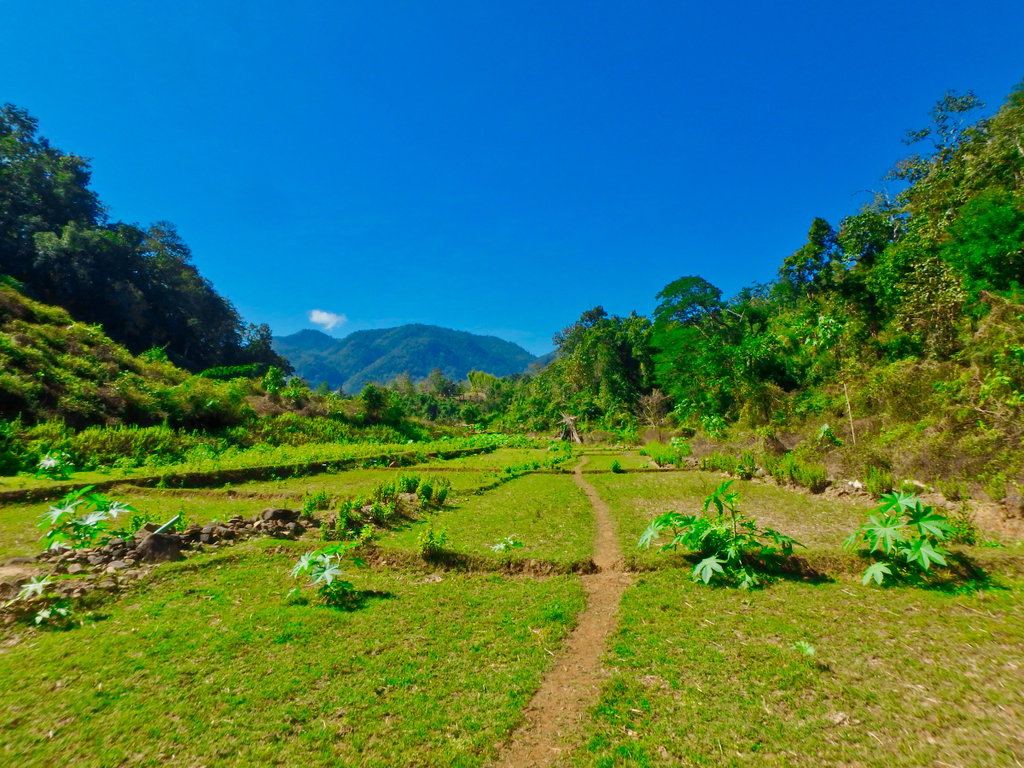
But it did lead us across the river.
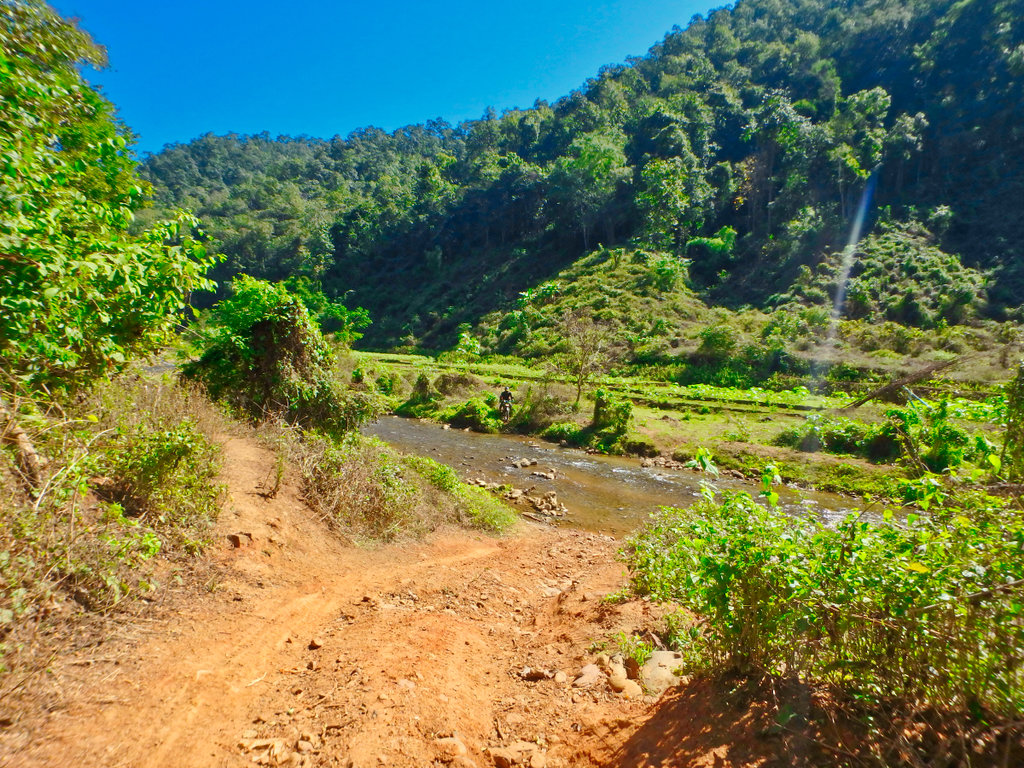
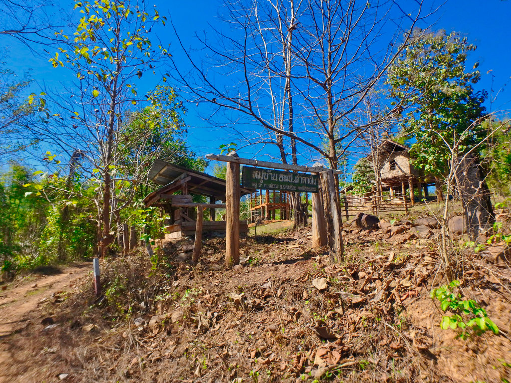
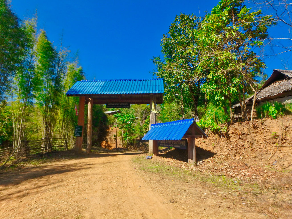
Reaching the small village of Tha Ta Fang.
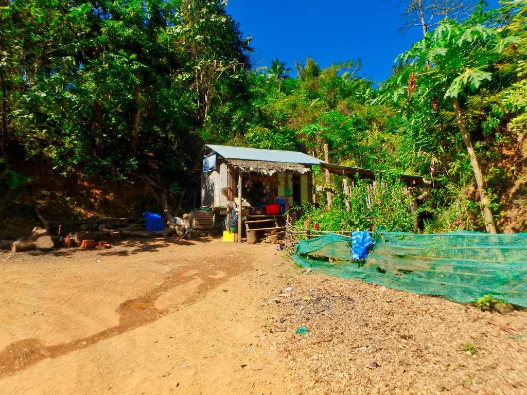
Small drinks shop on the edge of town.
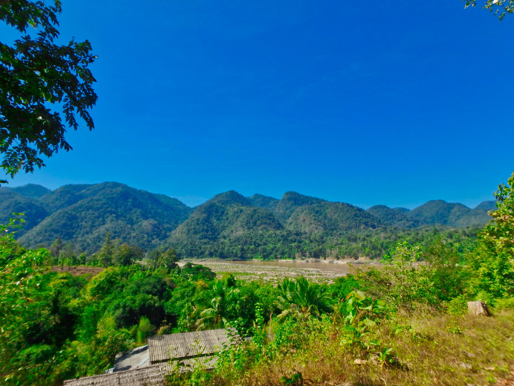
The Salween river and Myanmar beyond.
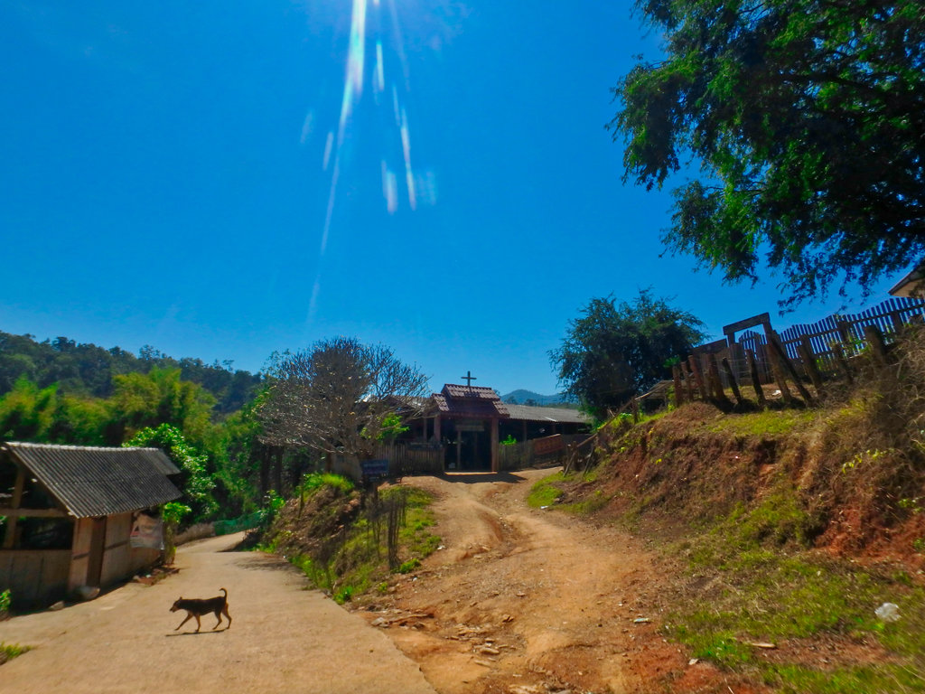
Christian church as you would expect!!
The village is small be obviously doesn't see too many visitors, the majority come by boat from Mae Sam Laep.
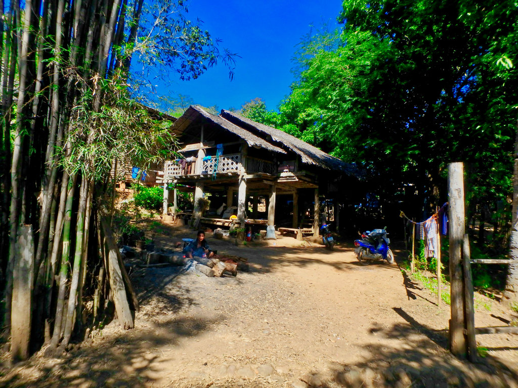
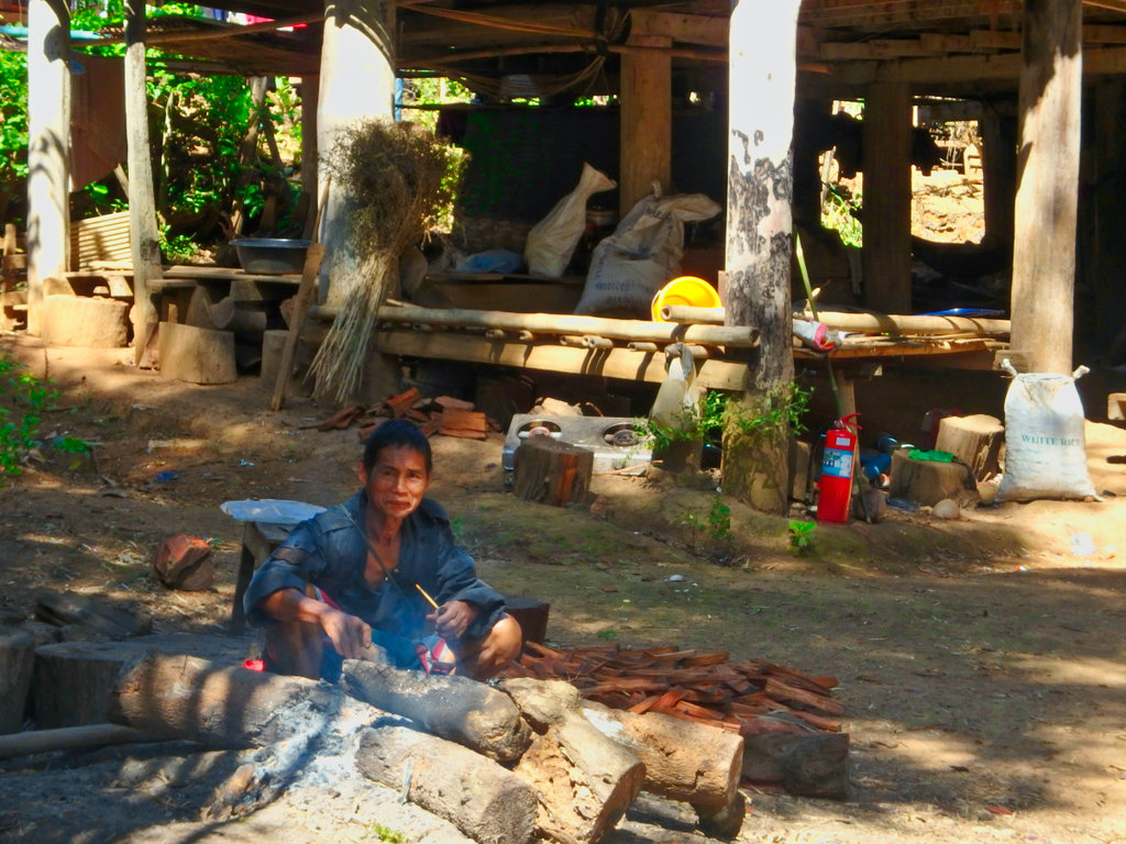
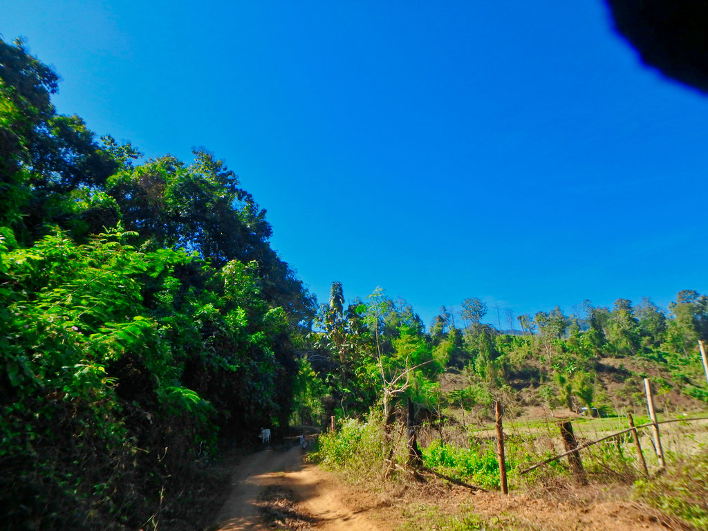
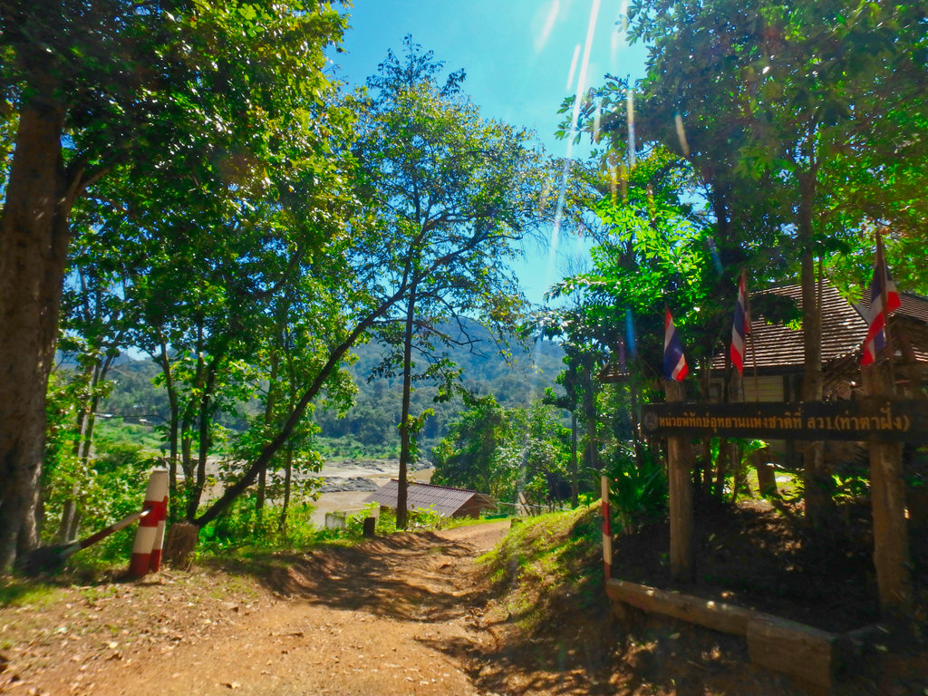
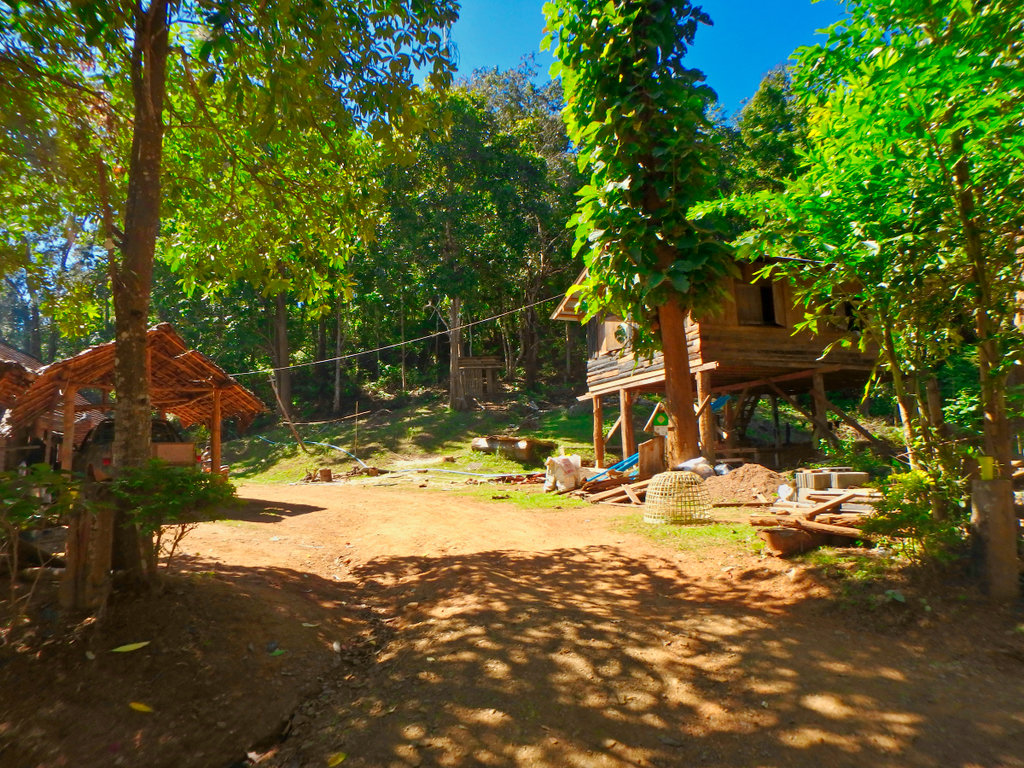
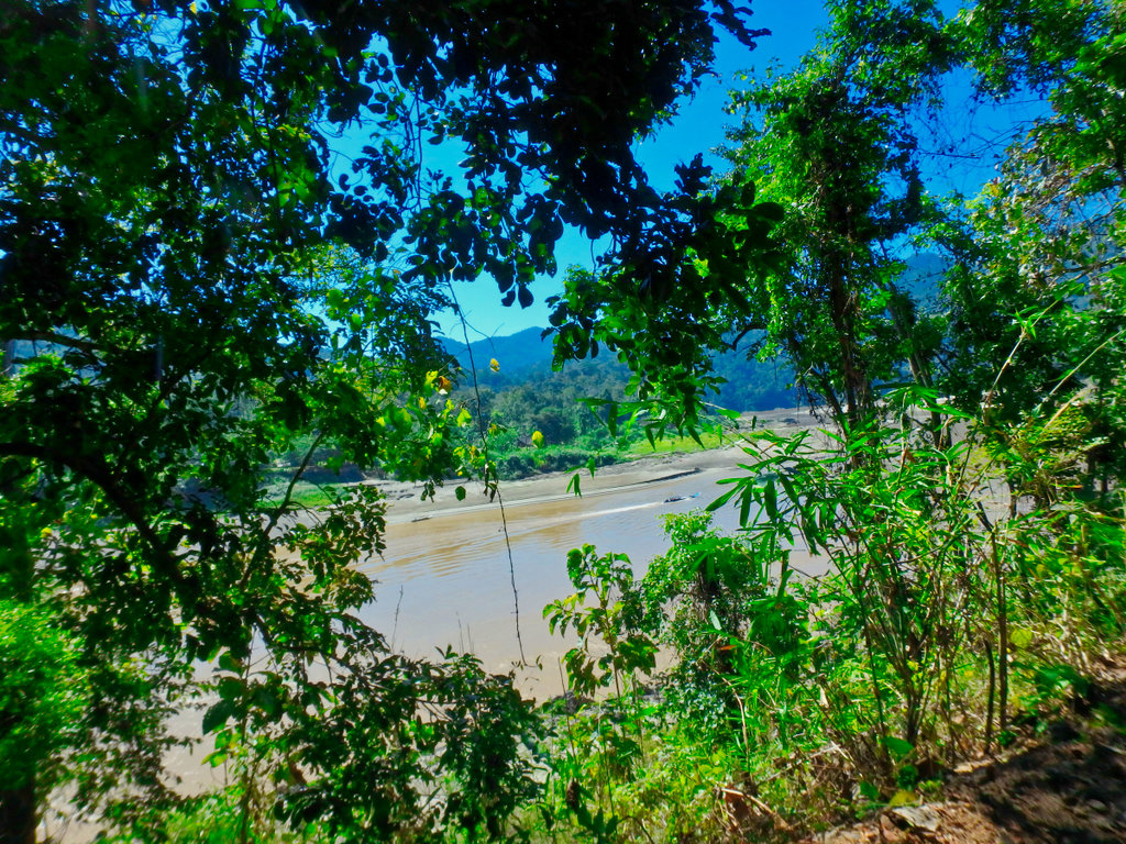
Heading out of the village south the trail is mostly graded as it follows the river.
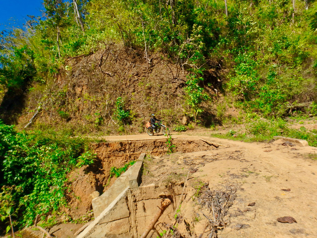
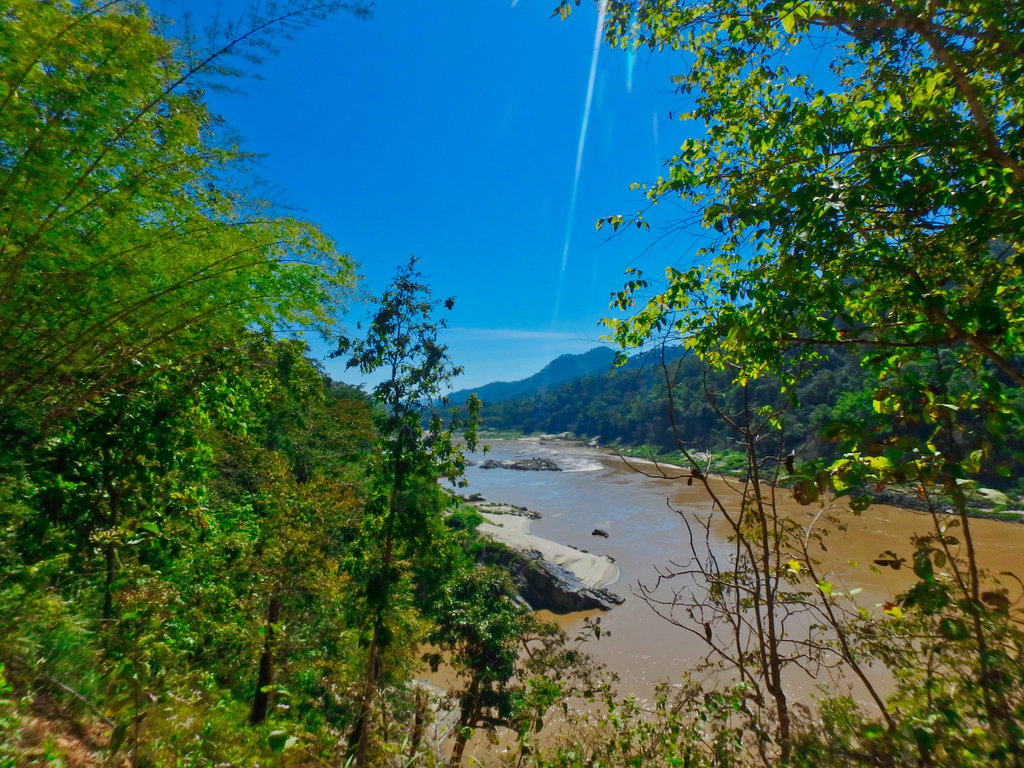
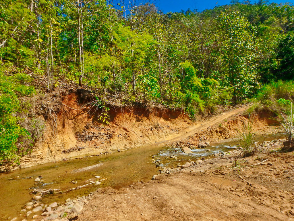
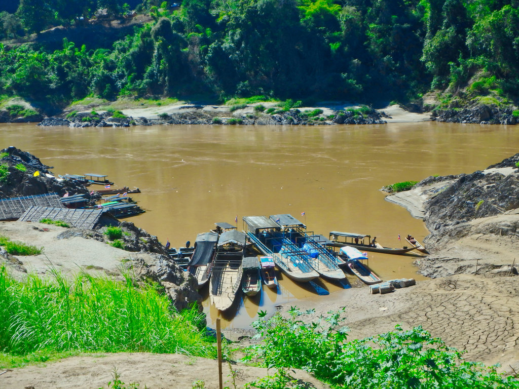
Reaching Mae Sam Laep and the ferry boats waiting for customers.
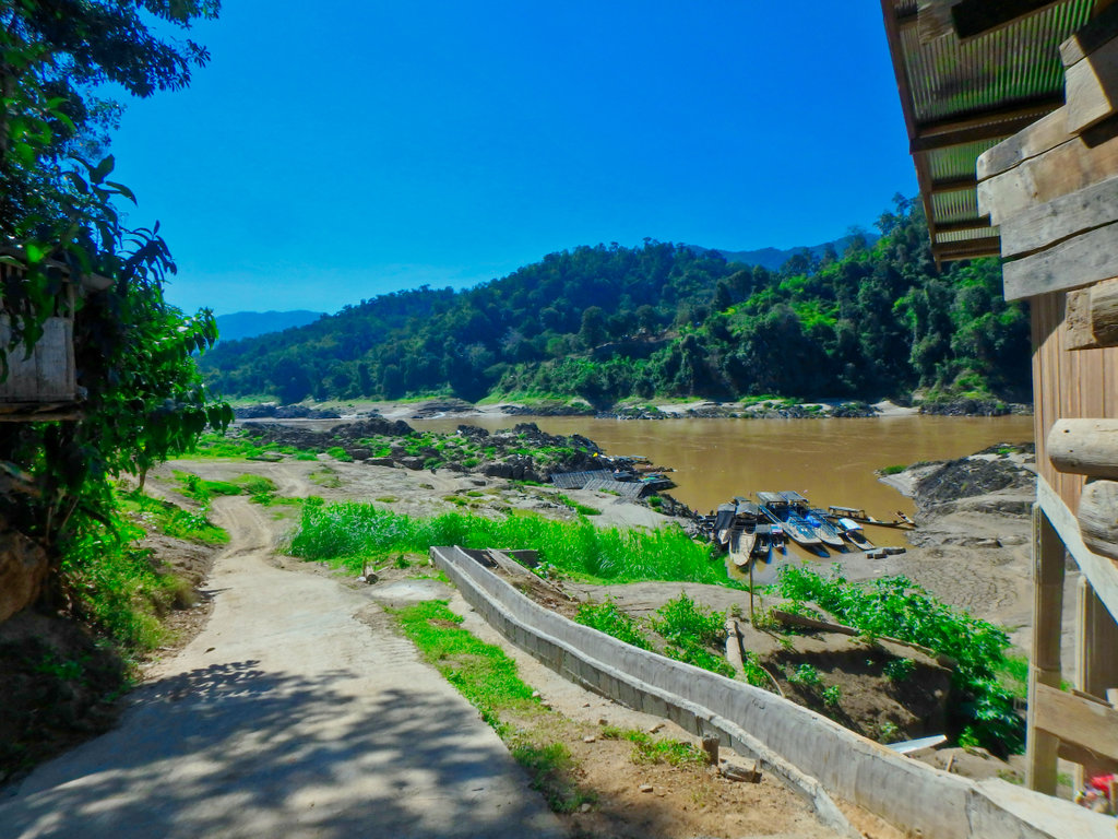
These small boats carry everything including cattle.
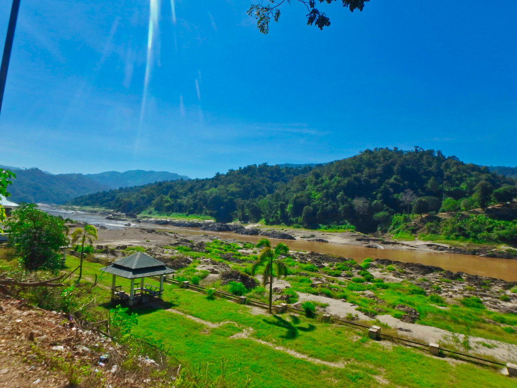
Mae Sam Laep has exploded in recent years with tourism but the promenade is looking a little shabby.
From here you can take the paved road back to the 1194, but more fun is to be had by going south through the refugee camps.....Cont.
GPX File at the foot of the post.
The trail only 70km long but you tick almost every type of trail riding box along the way, some technical forest trails, river crossings, (numerous) single track and of course spectacular views.
This sign amused me, warning of danger of walking in pesticide-sprayed fields, but it's ok to eat afterwards!

Making the turn off the paved to the lesser used forest trail.

First signs it was to be a little bit sloppier than I bargained for.


The planned route.

Rangers station in the Salween NP

From here the still starts to get fun.


Wet and steep got the spider senses tingling.


Des picking his way through.


Several trees across the trail, all easily navigated.


This section is only around 10km but sure packs a lot in.


Not soon enough for Des the pavement comes into view.


Paved road soon stops then onto a graded surface.

Some great views early in the morning.


Turn for Ban Huai Hom village.

From the turn the trail drops down to river level and soon the first water crossing.


Must learn to keep my bloody fingers off the lense !!

A lovely cool section along the river, rainy season would be a different story.


The trail moves slightly each year after the rainy season, often taking you along the river.


None of the crossings are particularly deep, although many are rocky covered in green algae.


We waited for a while as this mother and calfs had a drink and allowed us to cross.

Several unmarked settlements along the way.


Fine example of the rocky shale surface.


Great crossing this one.


Cows blocked the way, so we waited for them to clear.

Looks like they are interested in us.

Very inquisitive, we had to scare them off to proceed.


The crossings come thick and fast as we cross from one side to the other.


Some very remote dwellings abandoned i am sure.

stopping and walking to scout a way out of the river, even with a track its hard to find direction.


Des almost caught out on the green algae covered rocks.


Not having fun...


We lost the trail at this point and poked around to find signs of other riders passing.

Found this weir but no easy way to cross.

The trail used to be on the other side!

Back tracking we found a way out.


Nope not this way.

Back again this time on the trail.

An arrow was conveniently pointing the way, but I am sure the farmer doesn't want bikers riding through his rice paddies.

But it did lead us across the river.


Reaching the small village of Tha Ta Fang.


Small drinks shop on the edge of town.


The Salween river and Myanmar beyond.

Christian church as you would expect!!

The village is small be obviously doesn't see too many visitors, the majority come by boat from Mae Sam Laep.


Heading out of the village south the trail is mostly graded as it follows the river.


Reaching Mae Sam Laep and the ferry boats waiting for customers.

These small boats carry everything including cattle.

Mae Sam Laep has exploded in recent years with tourism but the promenade is looking a little shabby.

From here you can take the paved road back to the 1194, but more fun is to be had by going south through the refugee camps.....Cont.
Last edited:

