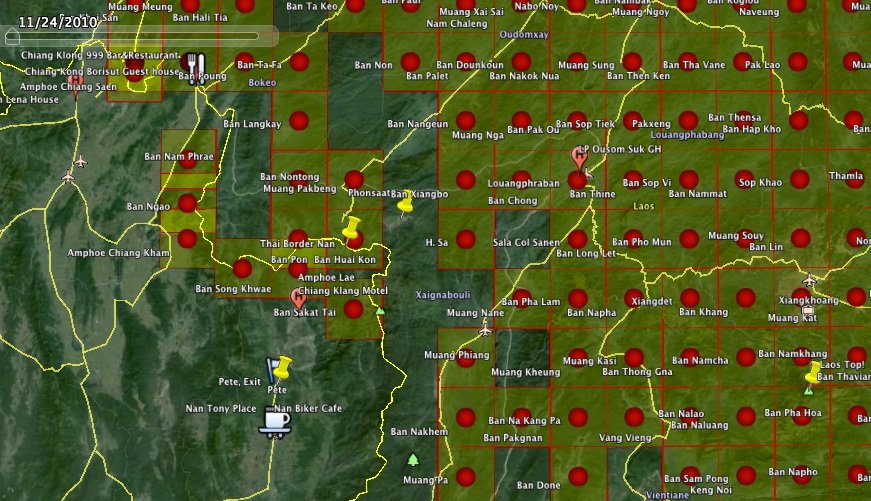
I came across Laos maps made 50 years ago, and presented in Google Earth.

This is how it looks in Google Earth. Click a dot and download that map.
It is two KMZ files. One presented as dots, and one with the rectangular for the maps coverage.
The maps are old, but the mountains, rivers/streams has not changed.
https://dl.dropboxusercontent.com/u/131479929/RideAsia/Map dots Laos.kmz
https://dl.dropboxusercontent.com/u/131479929/RideAsia/Maps Rectangles Laos.kmz
Enjoy

