bsacbob
Administrator (Retired)
- Joined
- Jul 1, 2012
- Location
- Chiang Rai
- Bikes
- Honda CRM-AR 250, Honda CRF 250-L, Suzuki V Strom XT 650 Honda XR250 Baja BMW F650GS
Time to get the cobwebs out and hit some dirt, no better way than to ride the Kok river trail in Chiang Rai, my intentions were to ride along the north side of the river and return on the south this is how it went.
GPX file at the bottom of the post.
Lovely cool day clear skies a perfect day to get out in the mountains around Chaing Rai, this was to be my first dirt ride of this dry season in readiness for a forthcoming Cambodia trip and iron out any wrinkles in both man and machine.
Large Buddha image almost completed across from Yan's restaurant location N19.93885° E99.76699° a great stopover point if you like Pizza's.
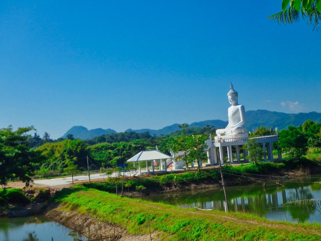
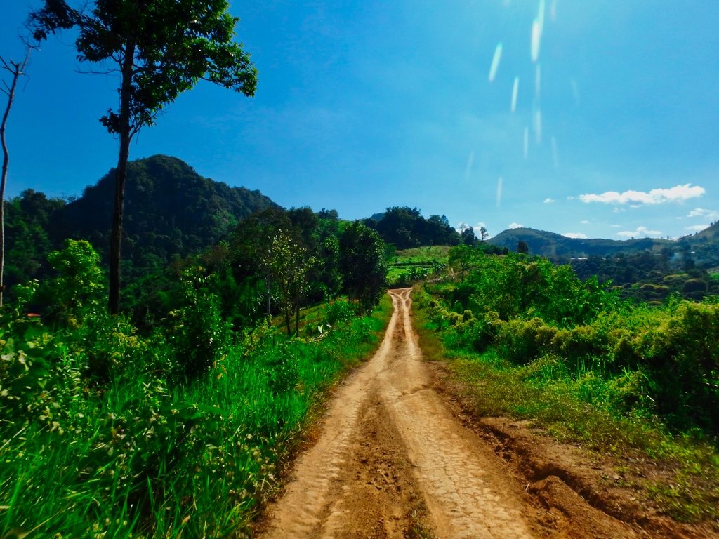
The terrain varies so much on this route and some great scenery.
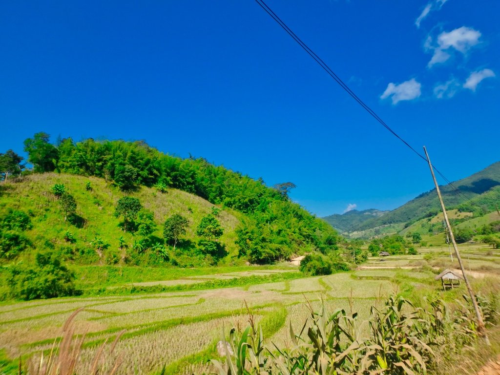
Soon onto the dirt and Kok river to my left.
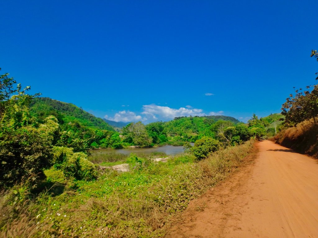
In the distance, an abandoned village, not sure of the reason behind that.
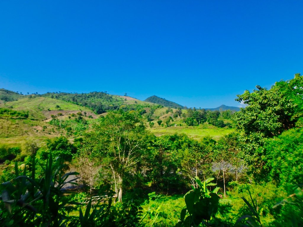
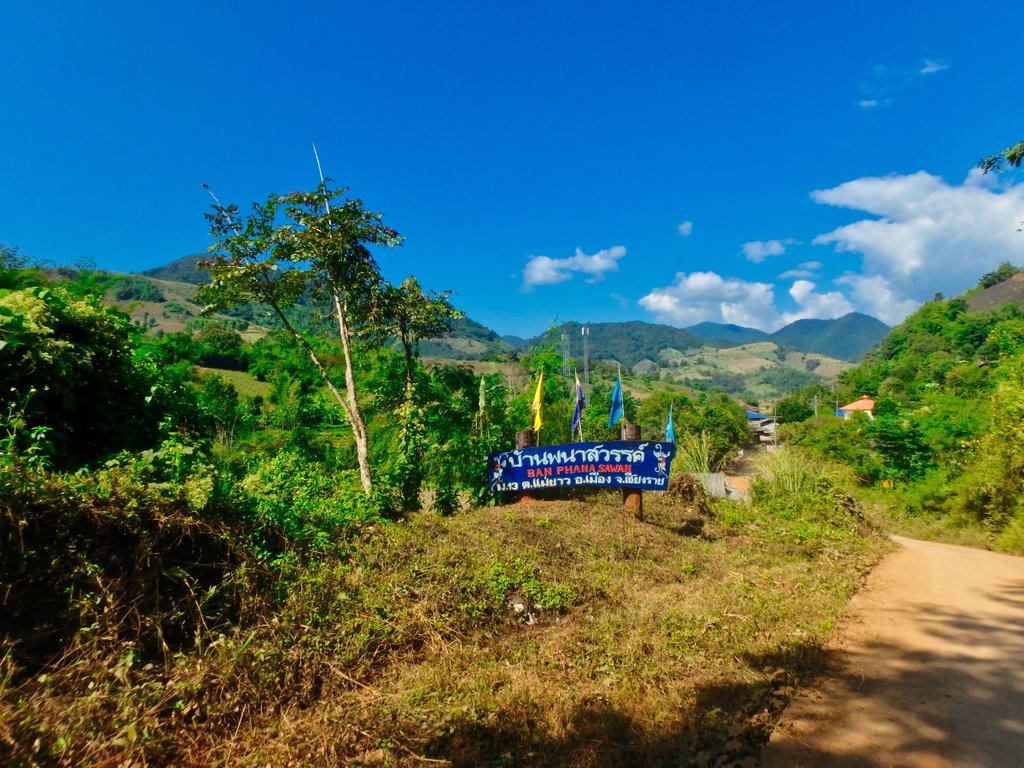
Rice harvest pretty much completed in this area so it will be soon time for burning season.
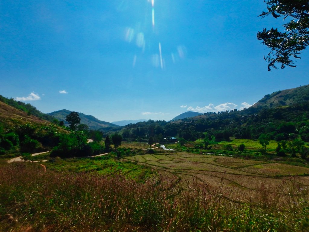
First of several small water crossings, the water crystal clear.
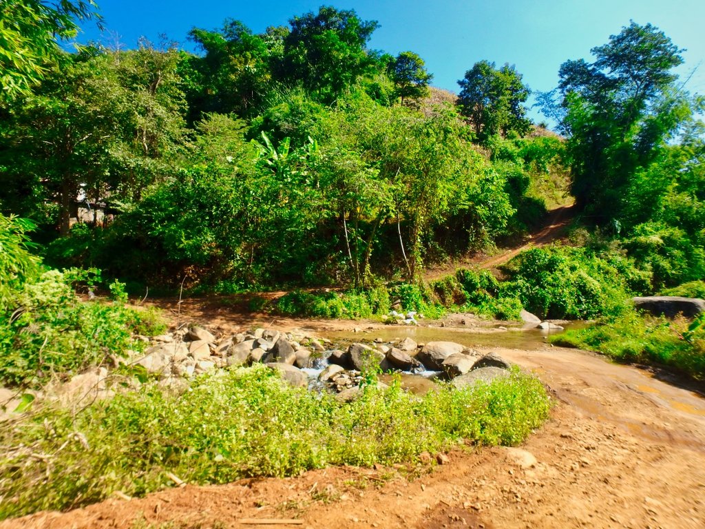
My heart sank when i saw this, in years to come no doubt the whole trail will be paved but for now only short sections are getting a concrete topping.
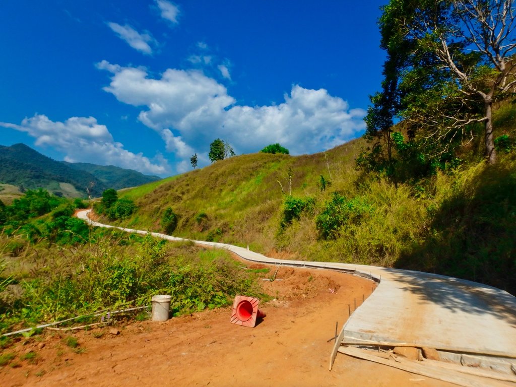
Some sections freshly graded now the rains have stopped.
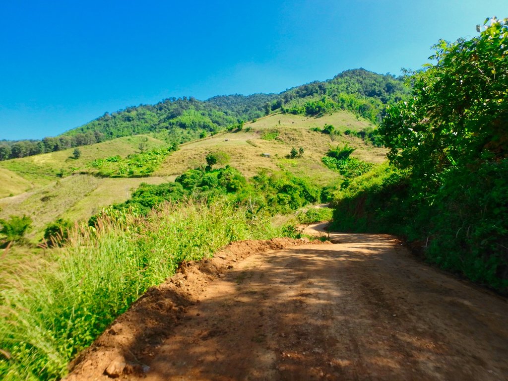
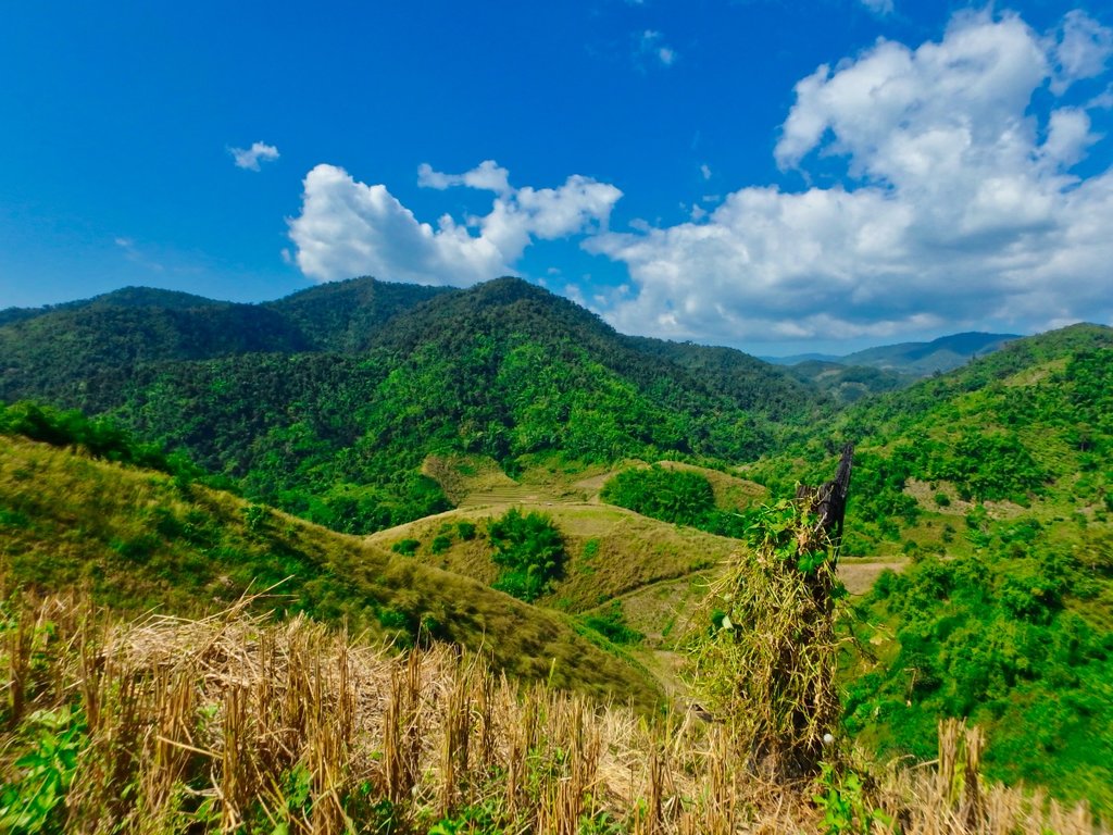
What a view.
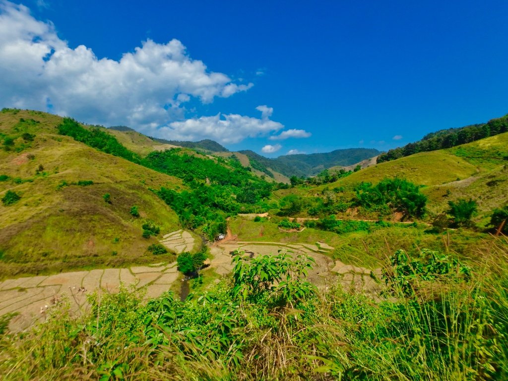
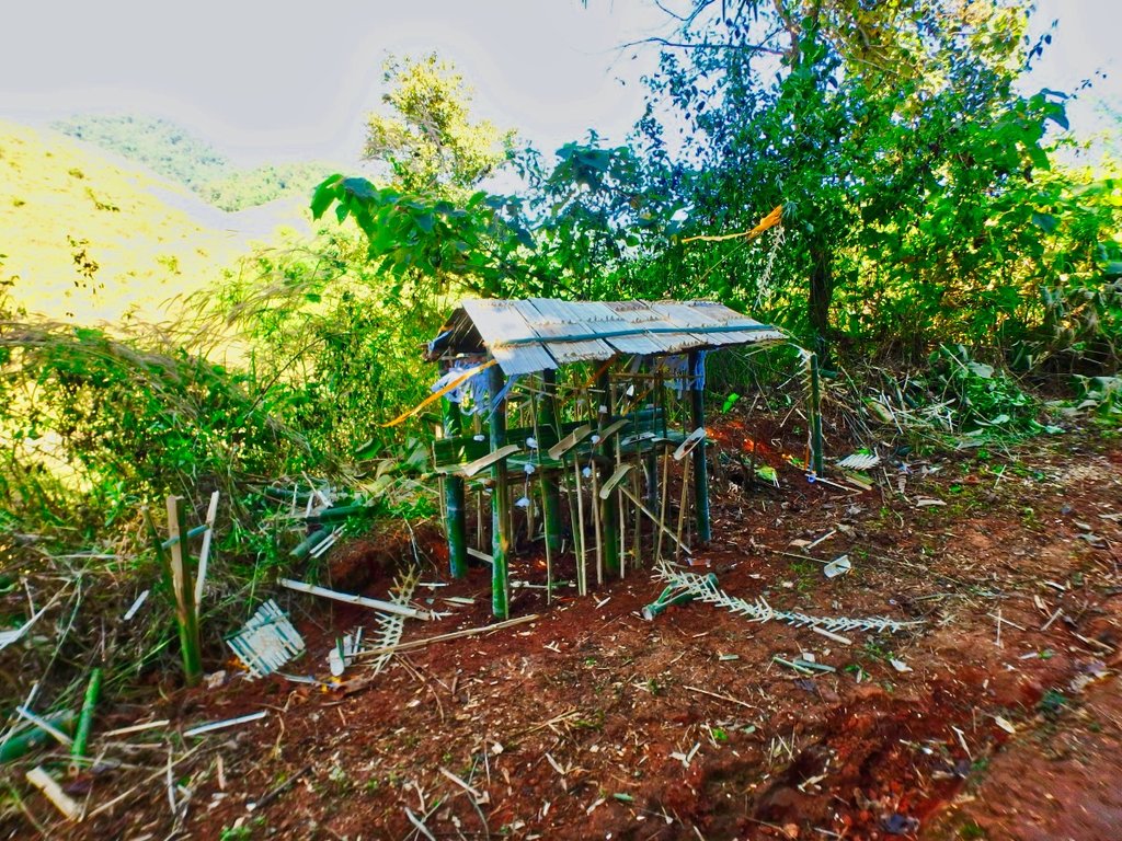
Lisu spirit houses to ward away bad spirits each way into the village.

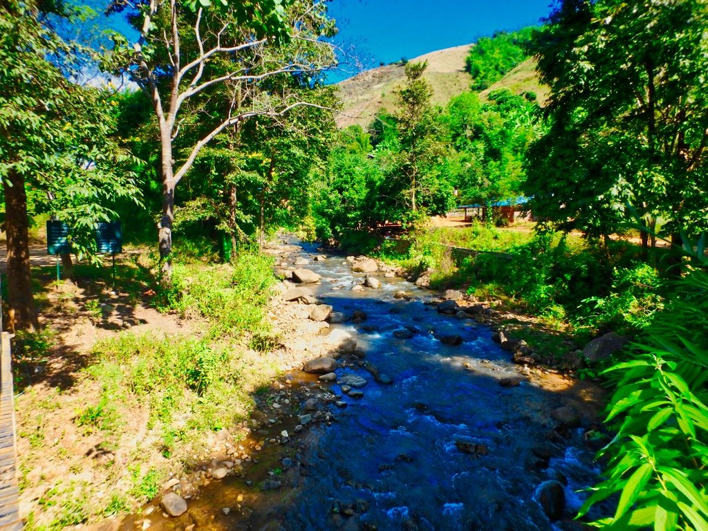
Several small villages along the north side, all desperately poor people, conditions along here in the wet season are not kind.
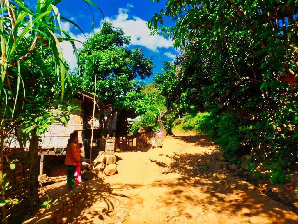
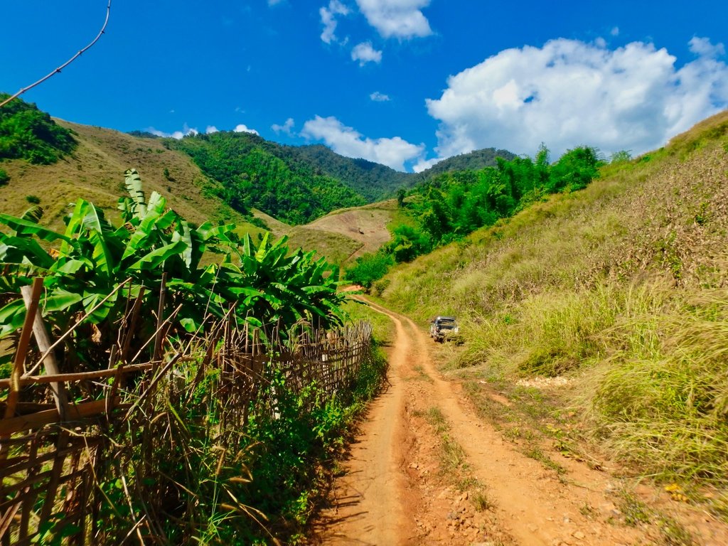
Leaving the last village marks the start of a series of steep climbs.
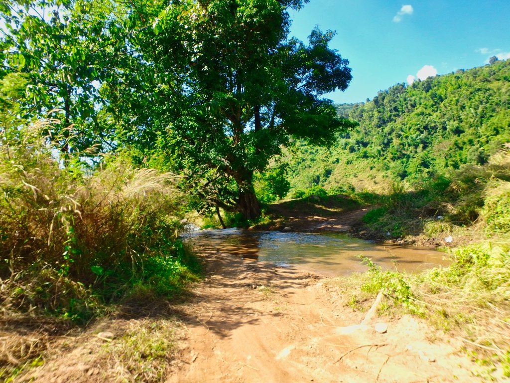
Another refreshing dip.
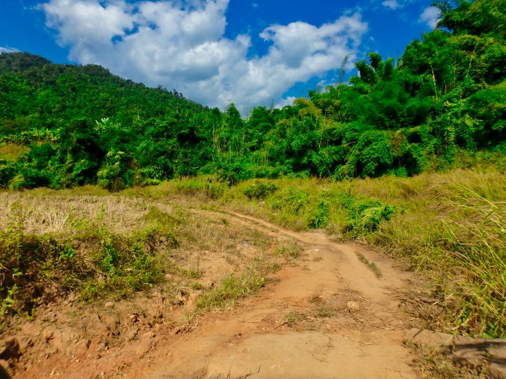
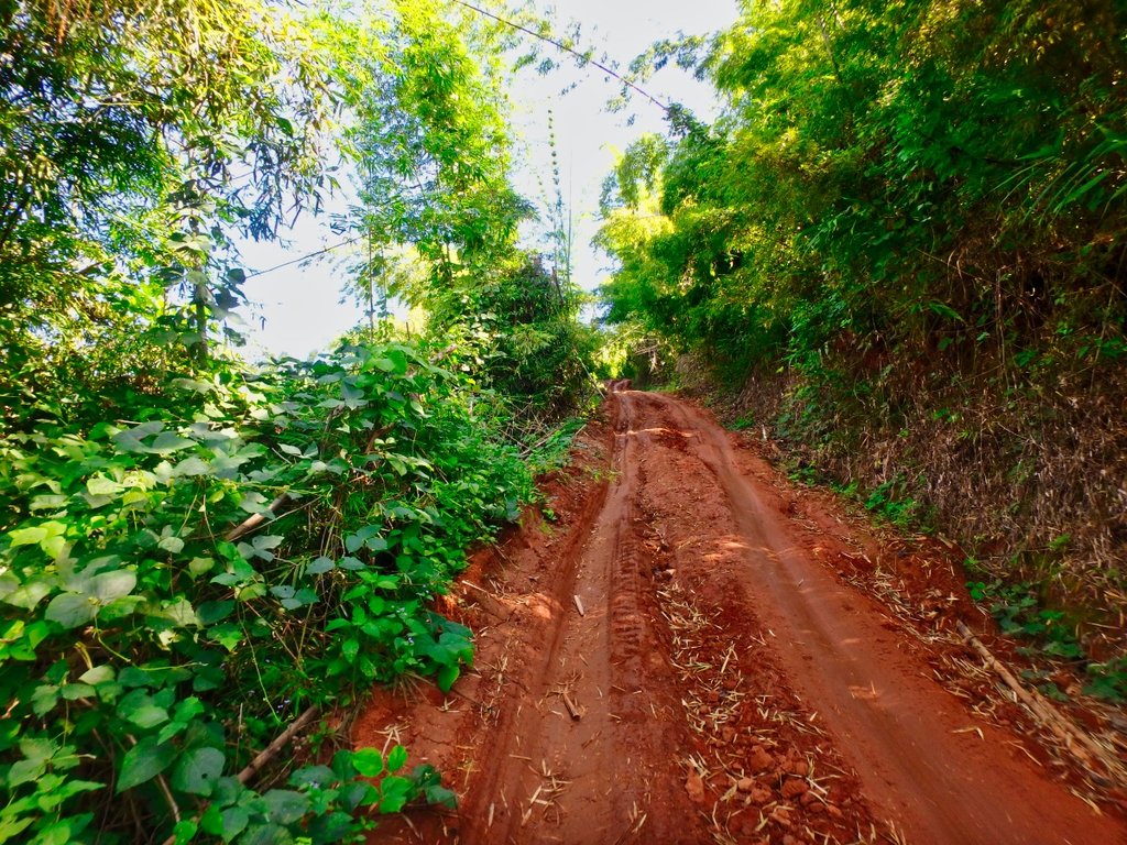
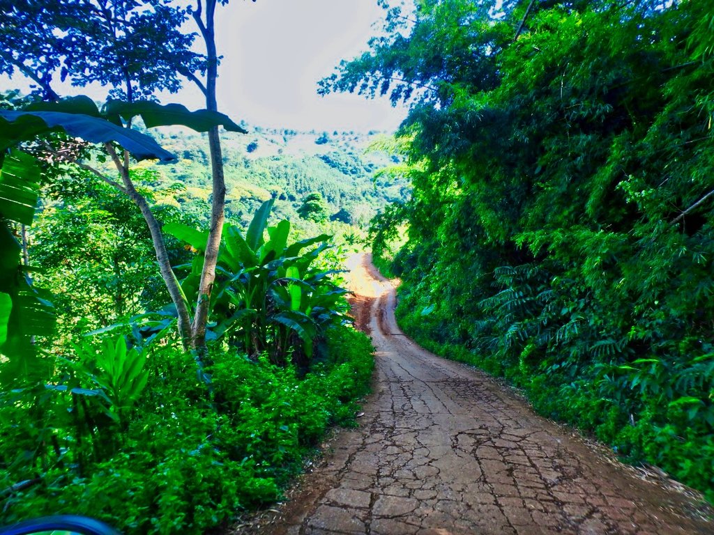
Some of the shaded sections pretty slippy making this long climb interesting.
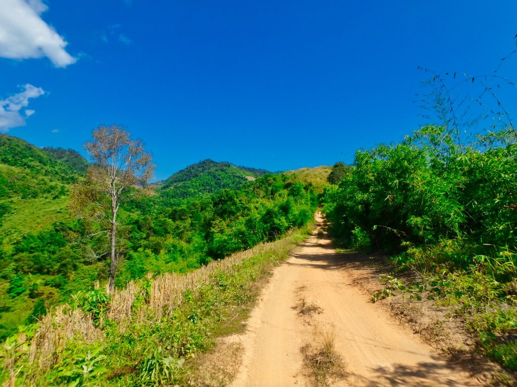
level section as the next climb unfolds.
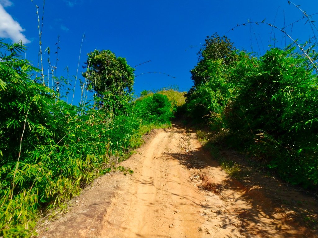
Perhaps the steepest of the four hilly sections, fingers crossed nobody is coming down.
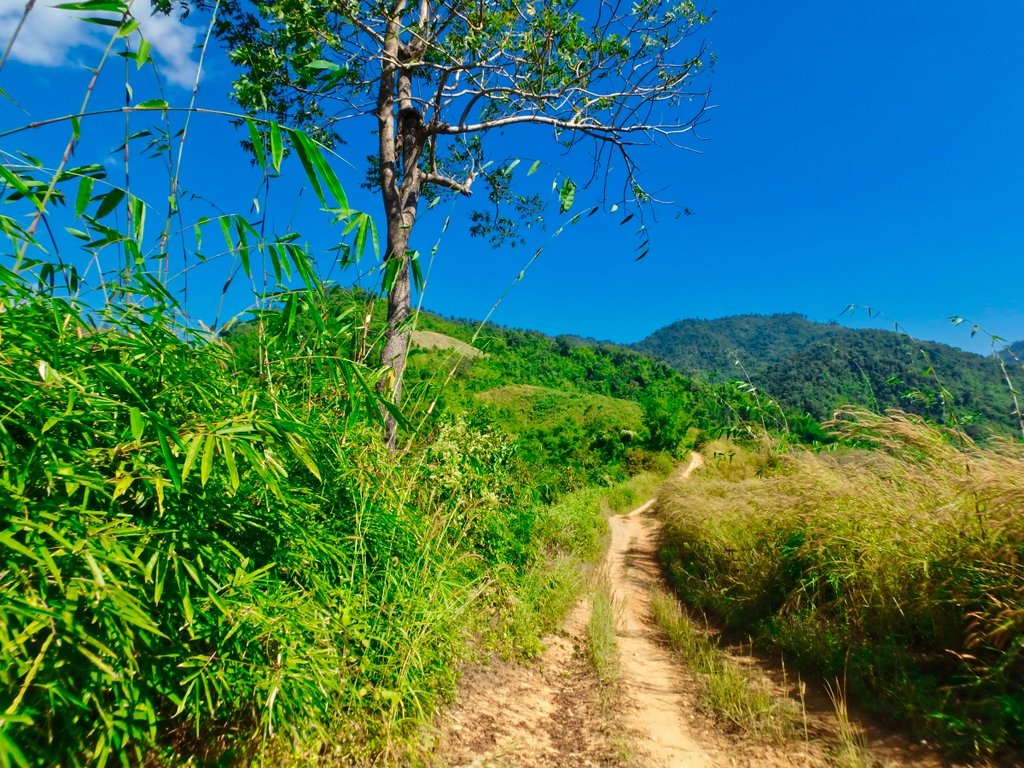
The last 10 km is like a big dipper with a series and steep climbs and equally steep descents.
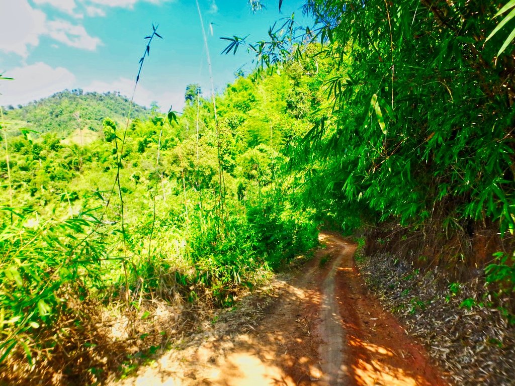
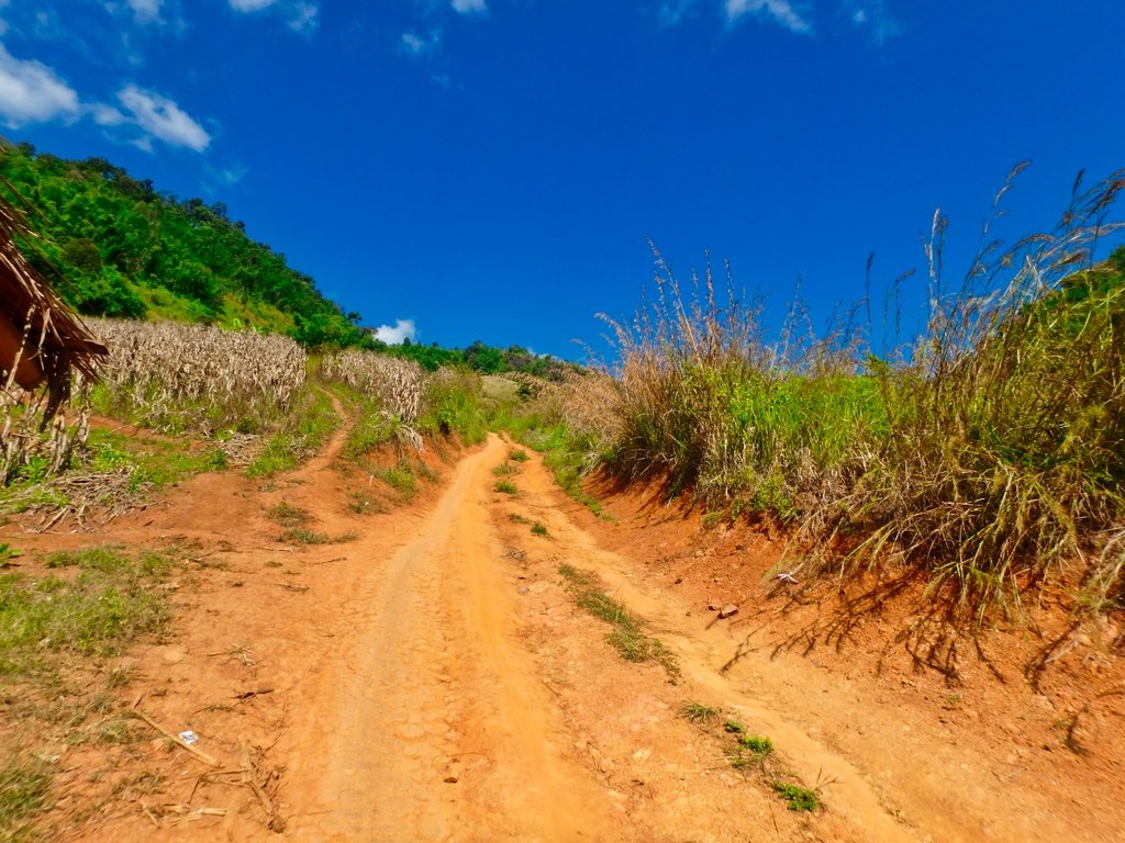
The trail ahead.
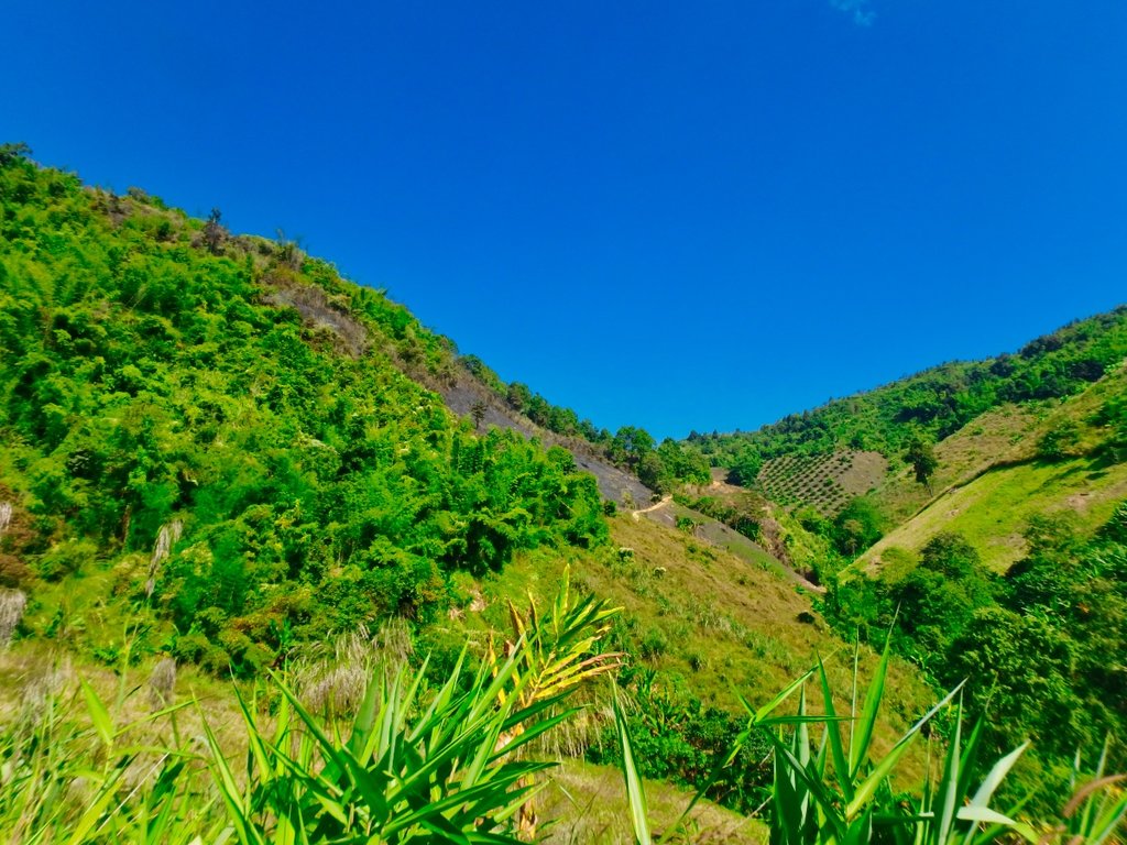
The last km is a steep downhill which is usually as slippy as hell and easy to have the back end come around on you, today was no different and was happy to navigate this section without spilling the bike.
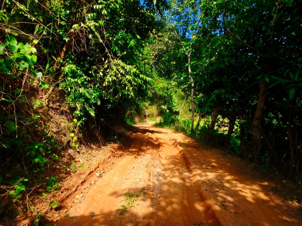
As normal the pictures don't show how severe it actually is.
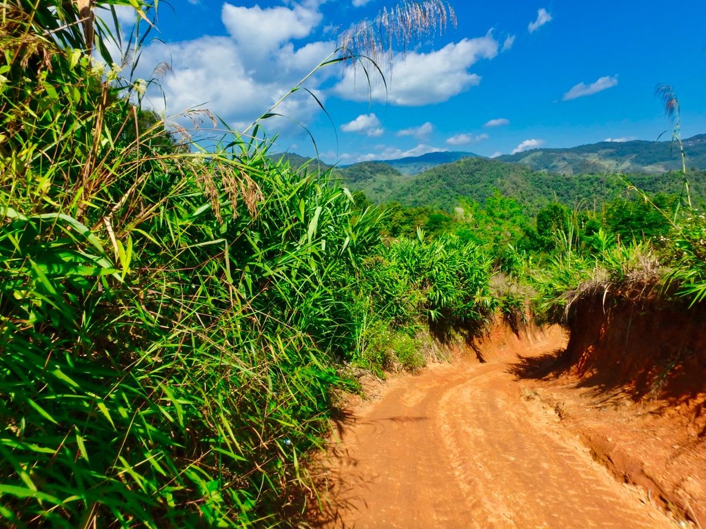
After reaching the dry sections I warned this couple of the conditions ahead of them, even on a wave, it would be a challenge.
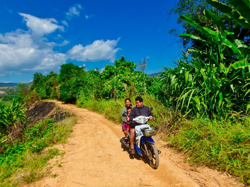
Finally the 1089 in sight near the police checkpoint to Doi Mae Salong.
N20.10148° E99.62132°
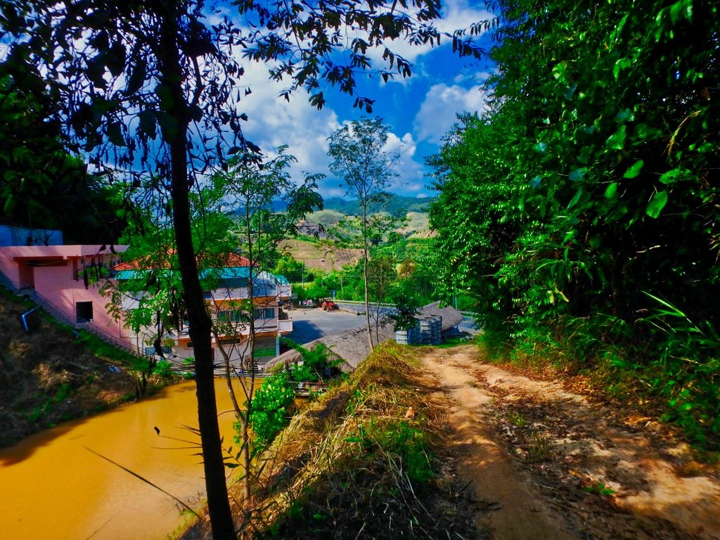
Now a 10km ride to the next turn.
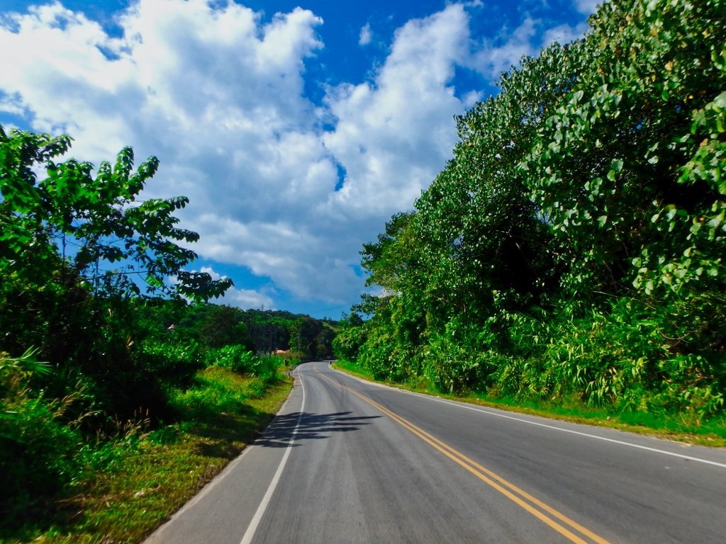
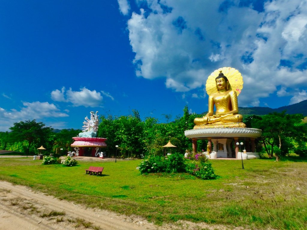
At the village of Huai Khum passing the bridge signals the turn for the south side trail.
N20.03769° E99.47648°
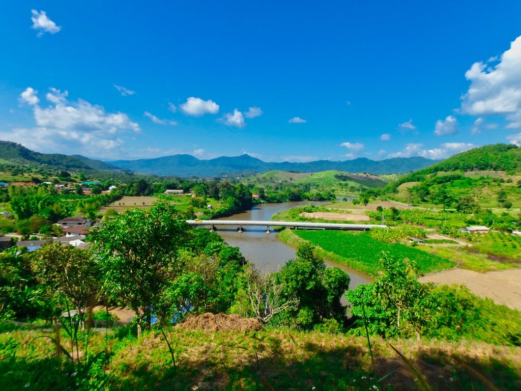
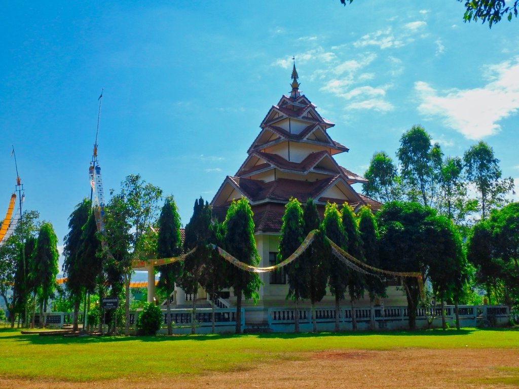
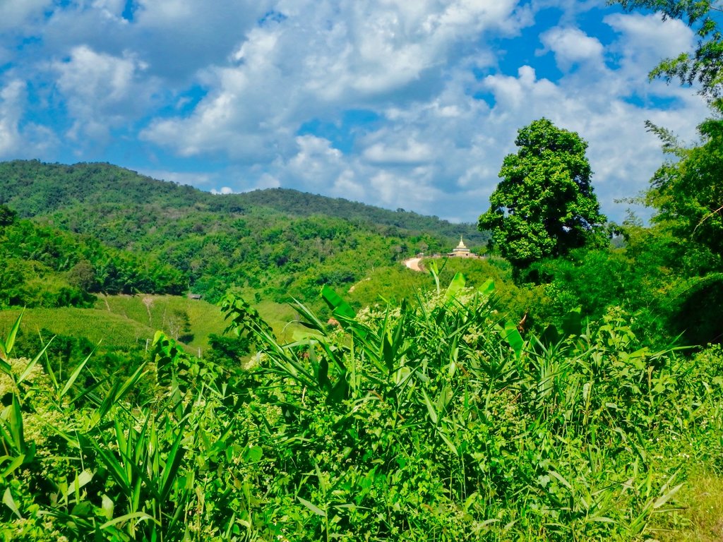
An elaborate new Stupa being built on the north side of the river.
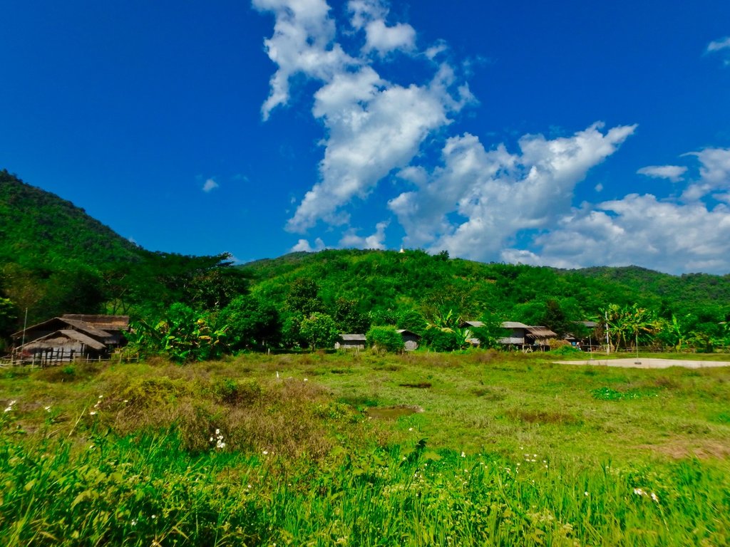
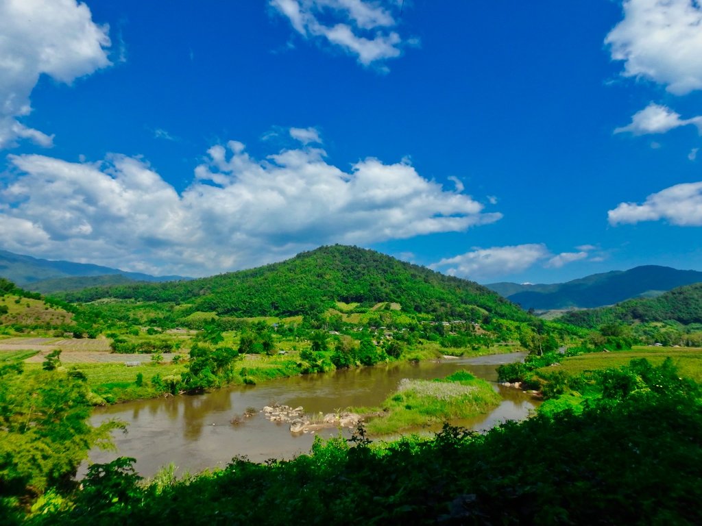
A couple of small villages hugging the sides of the river.
Nicely graded off into the distance.
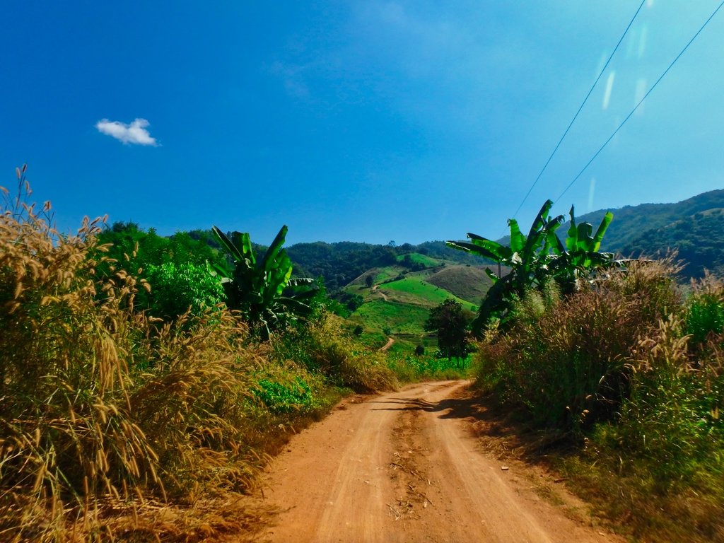
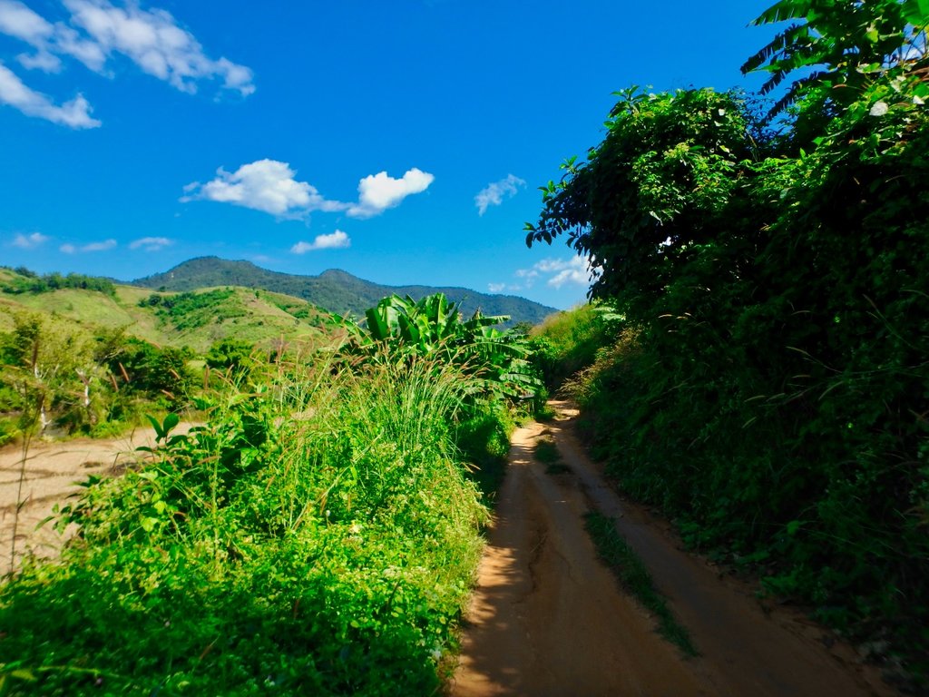
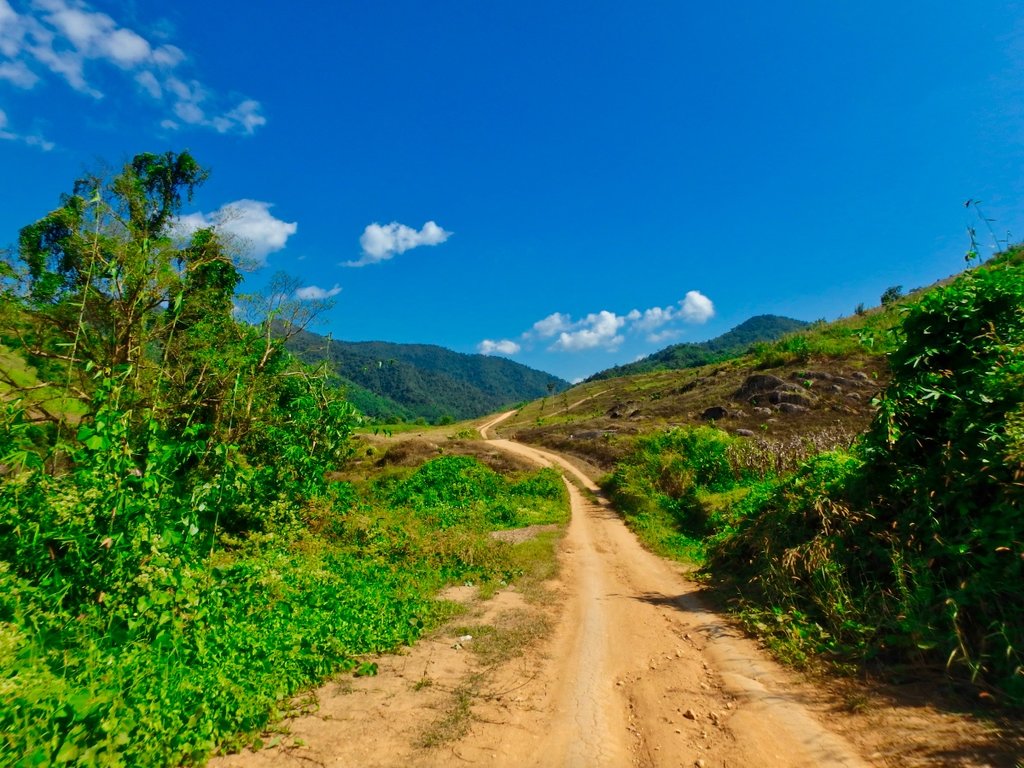
This was the most enjoyable section of this trail but sadly now fully graded.
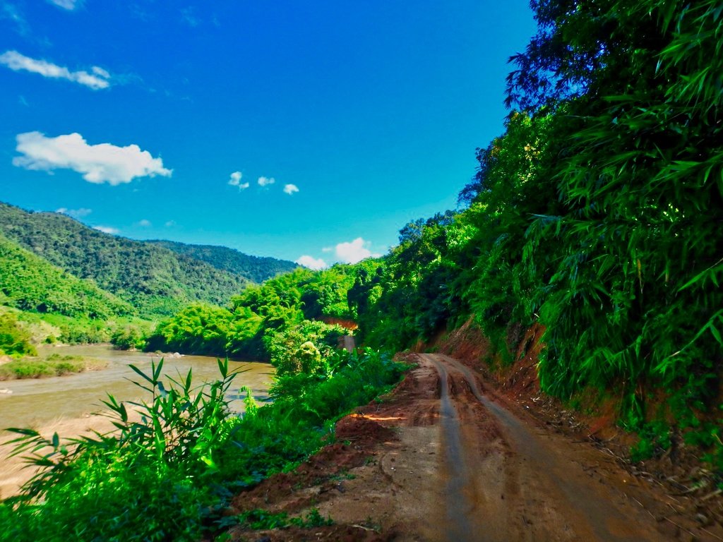
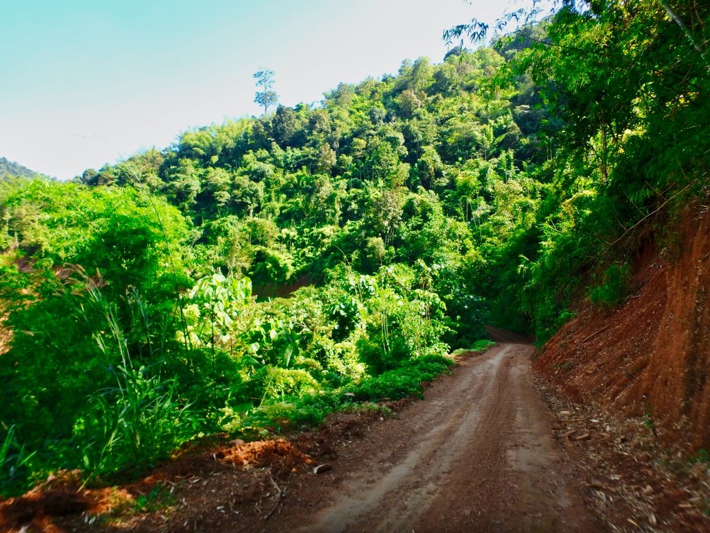
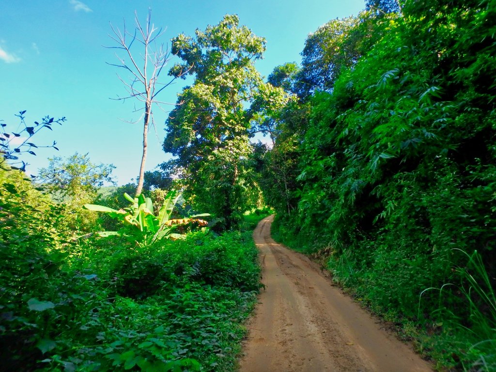
I reached the junction marking the turnoff back to town is quick time so decided to extend the ride and head off in the direction of Ban Chompoo in search of more interesting riding.
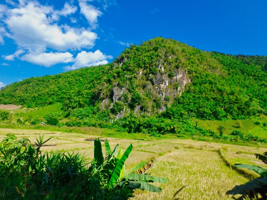
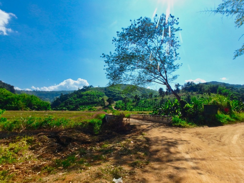
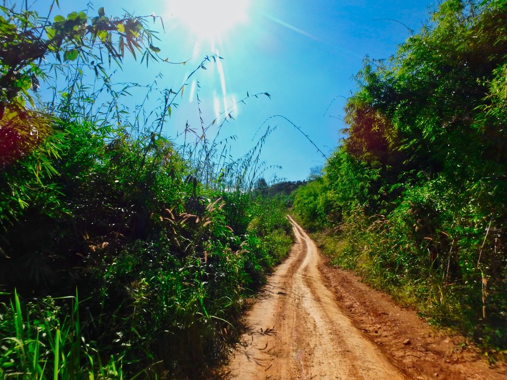
Every year there are more and more new trails as the farmers need access to the growing fields and you can easily get lost up here.
I turned off onto a trail i had done several times before but not this early in the season it was not well travelled.
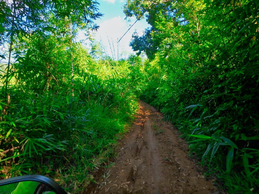
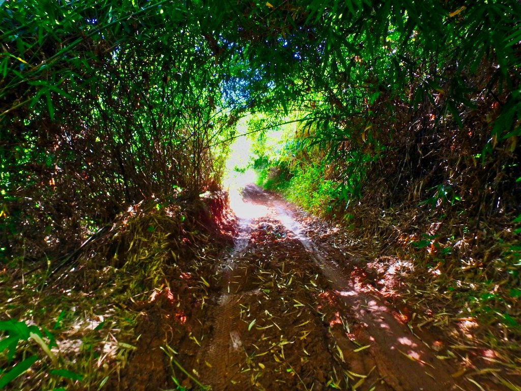
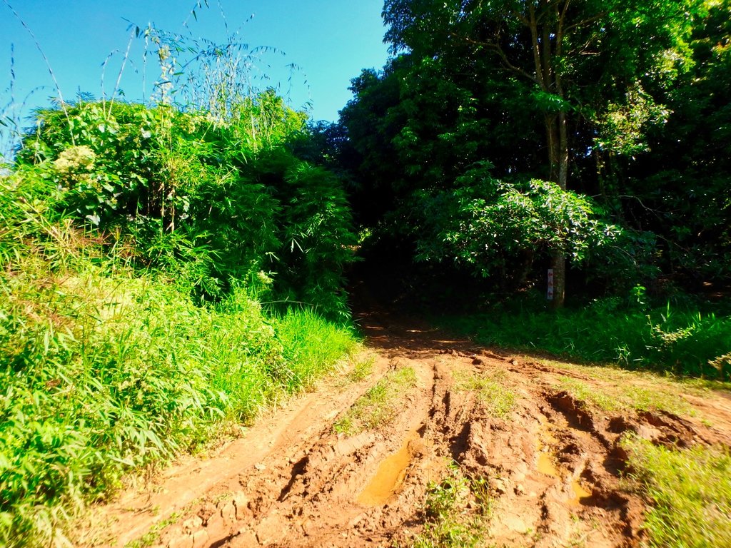
Still a little wet in places, this caught me out.
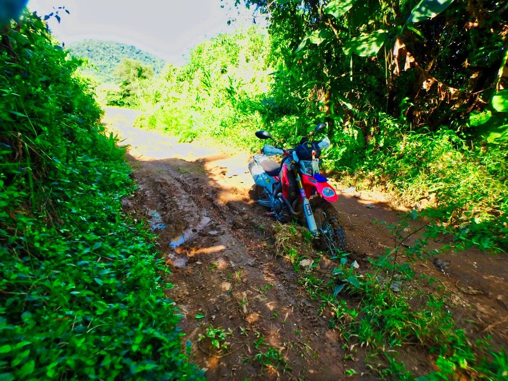
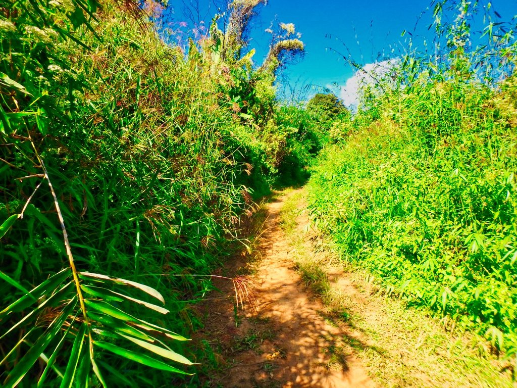
This T junction was the begining of the fun bit's to the left now nicely graded to the right single track so right it was to be.
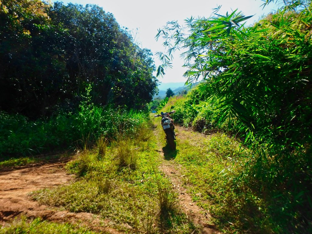
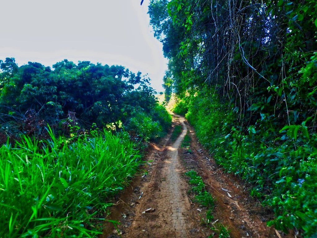
Not much traffic this way so it should be interesting.
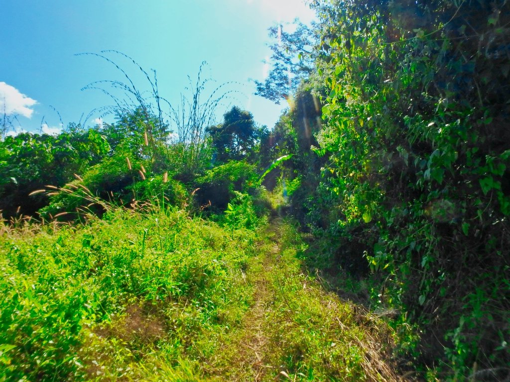
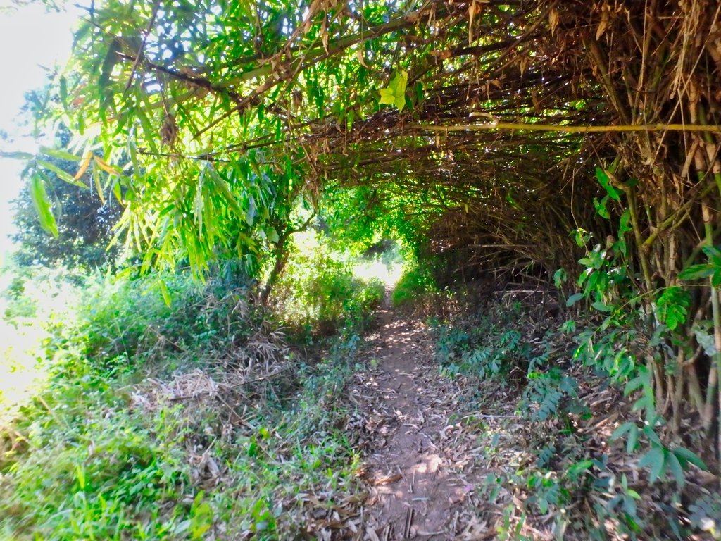
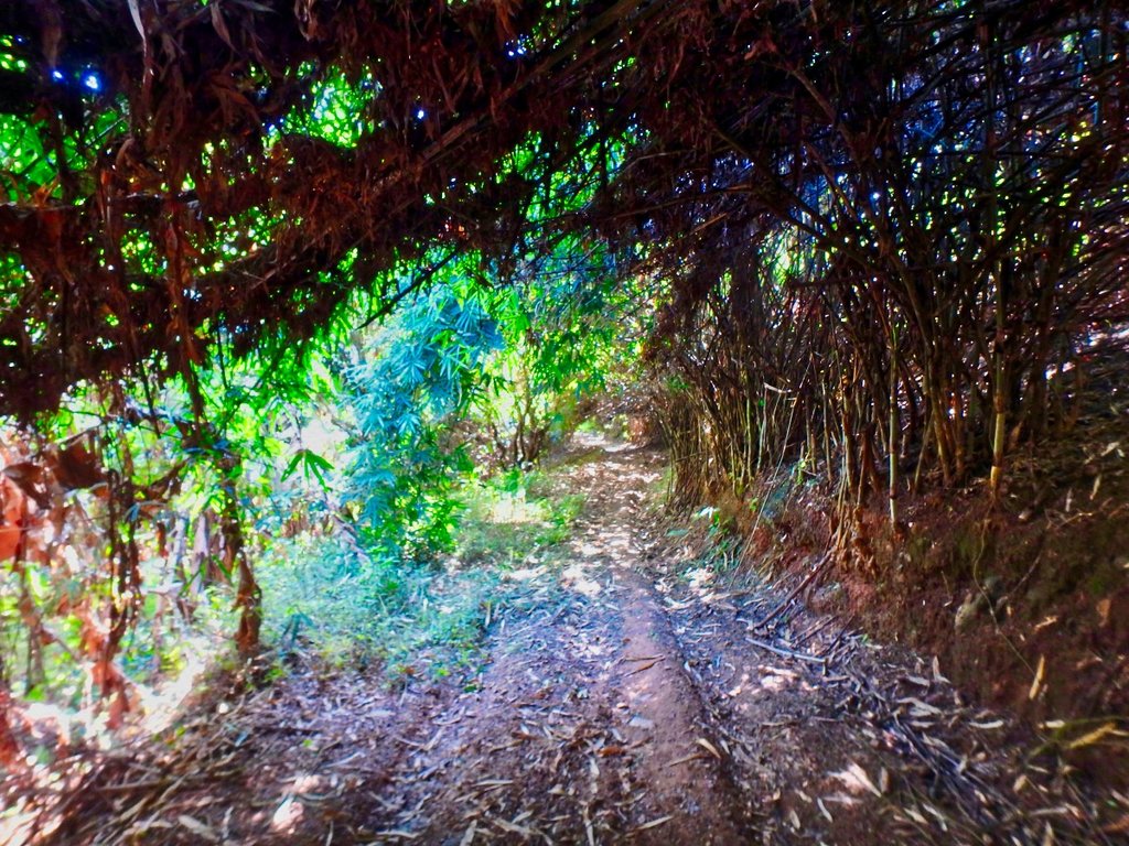
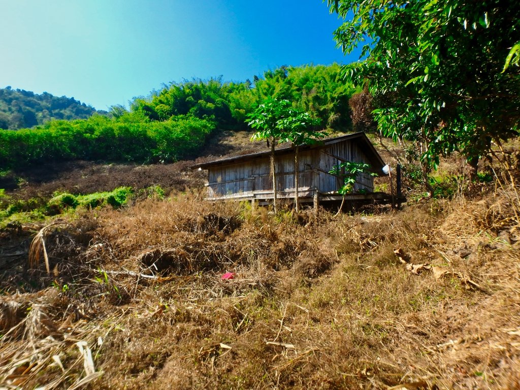
Hmm not sure this is a good idea now, but no turning back.
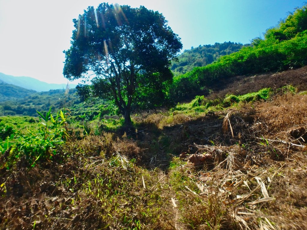
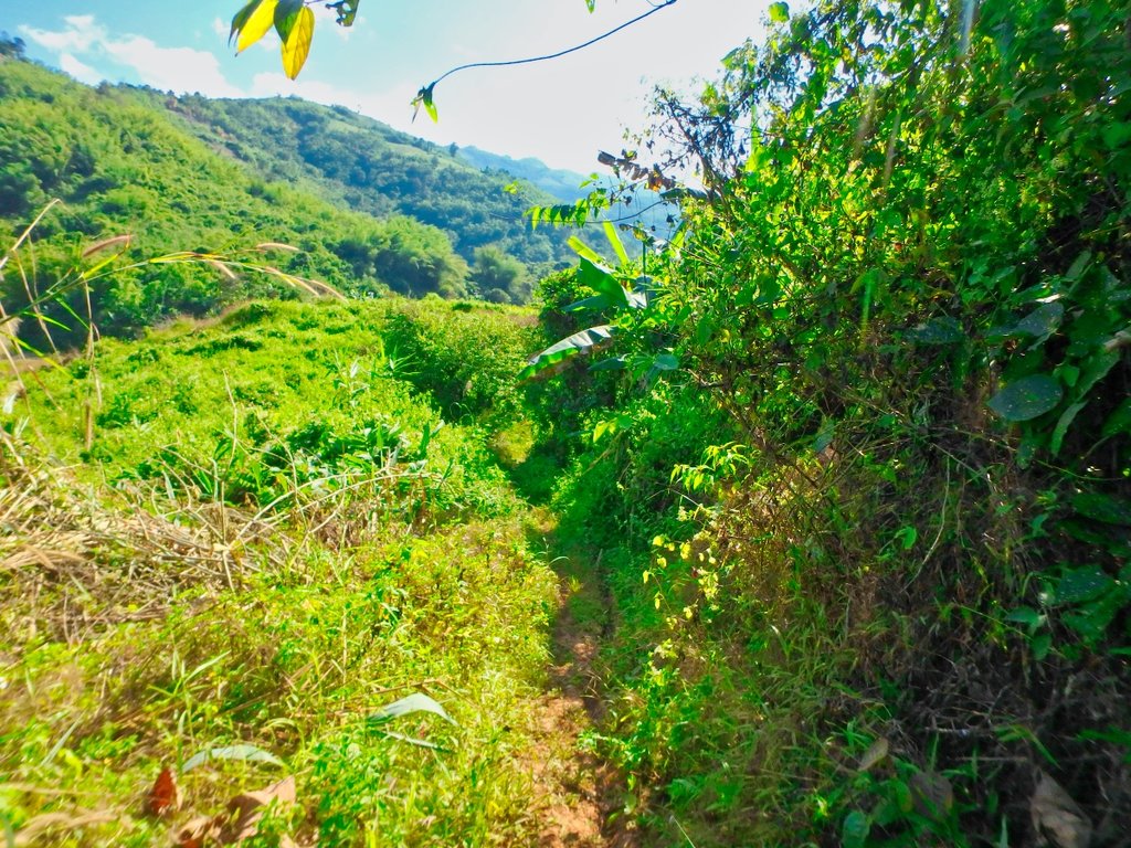
There is a trail somewhere here.
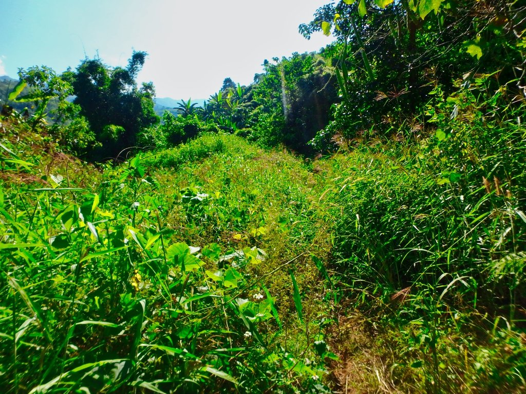
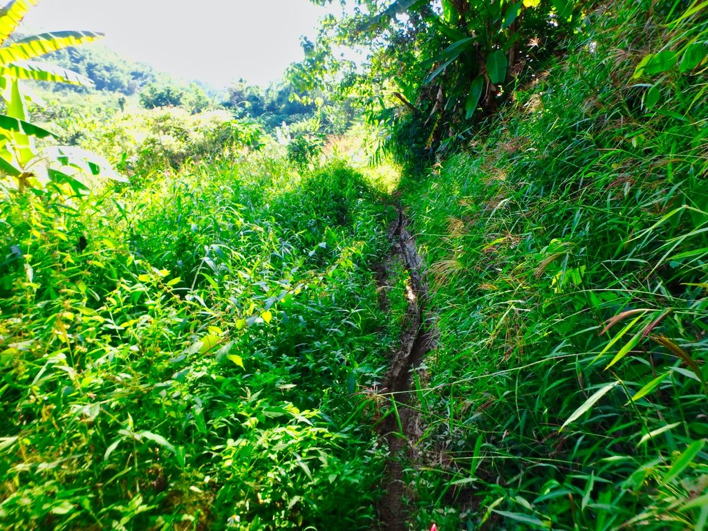
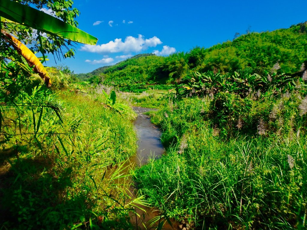
Nearing the river it gets pretty boggy.
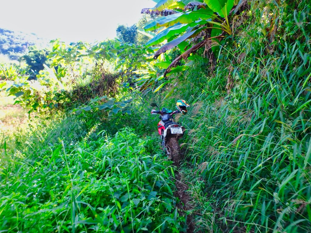
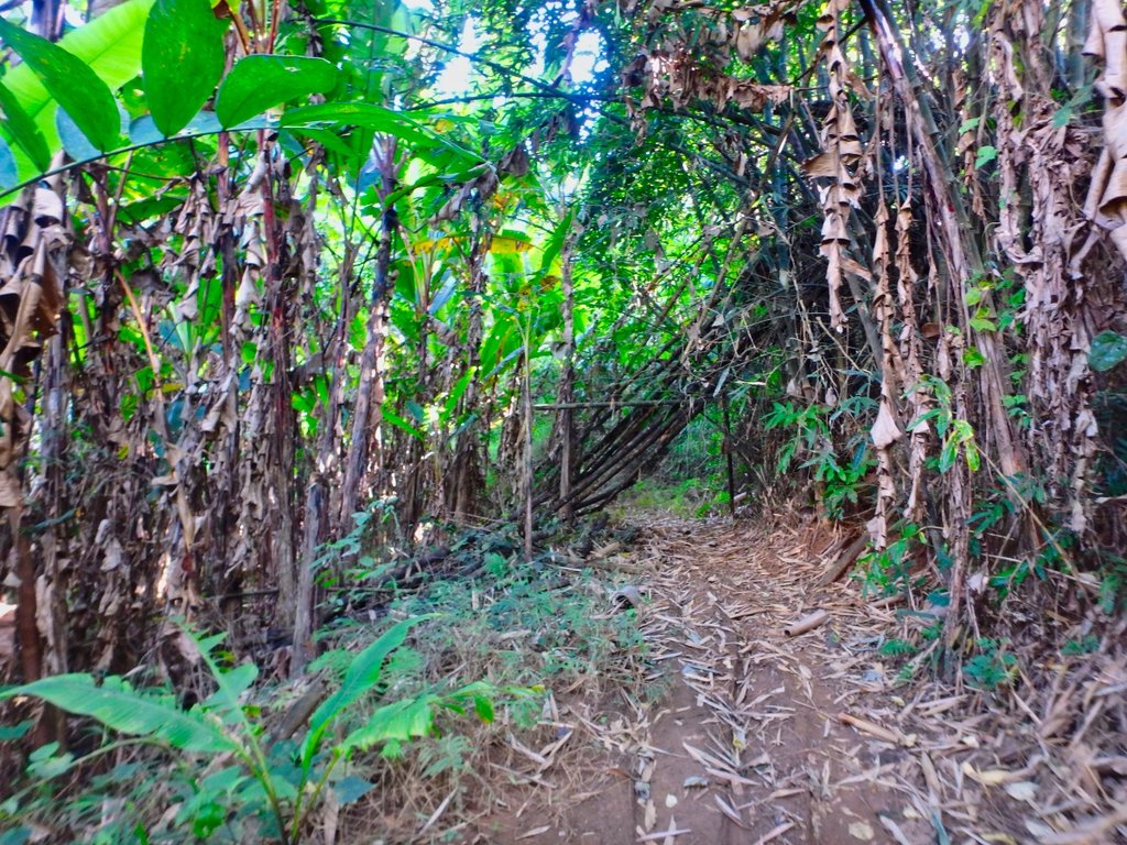
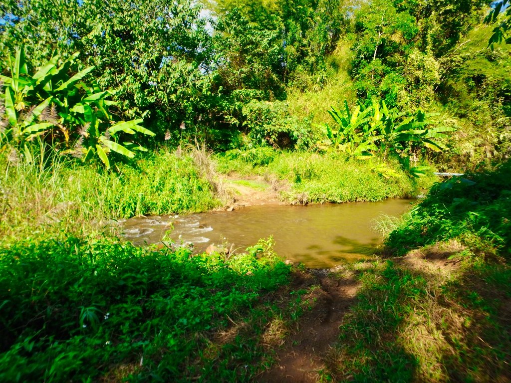
Surprisingly deep crossing.
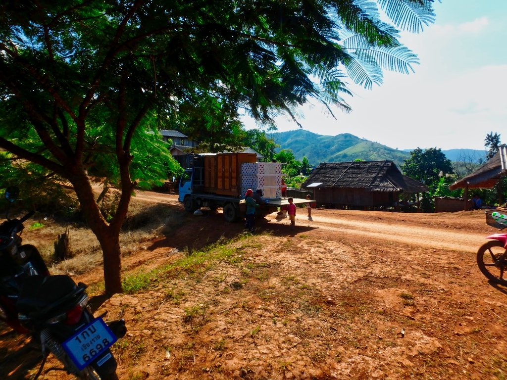
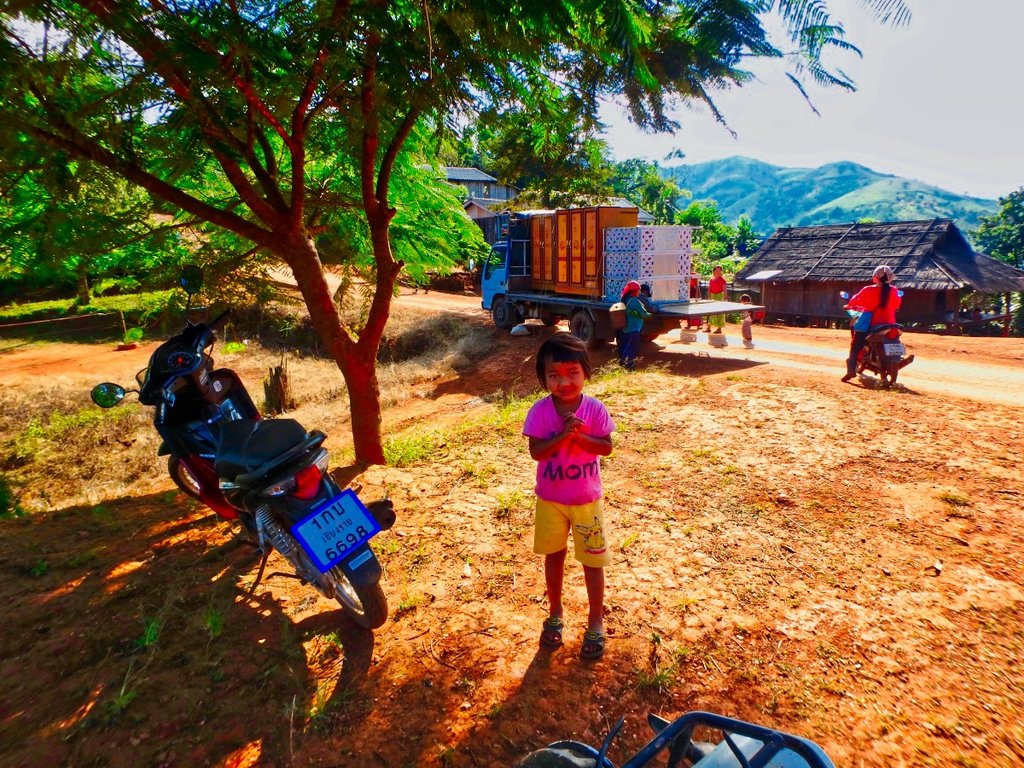
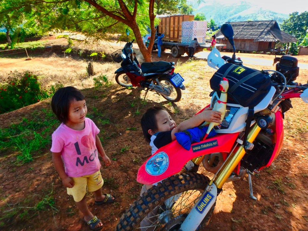
Furniture vendors cant imagine they get much trade up here.
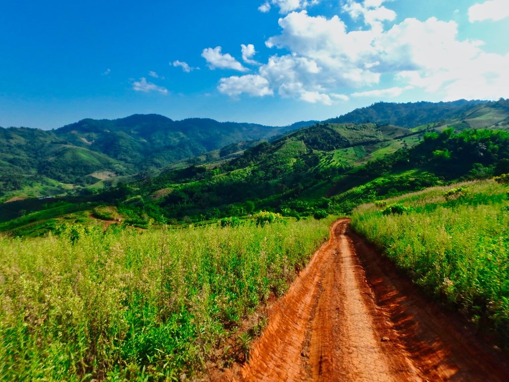
Back on the trail looking good.
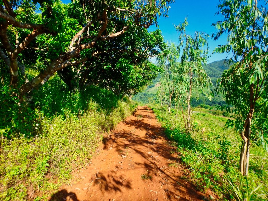
This looked promising so far so good.
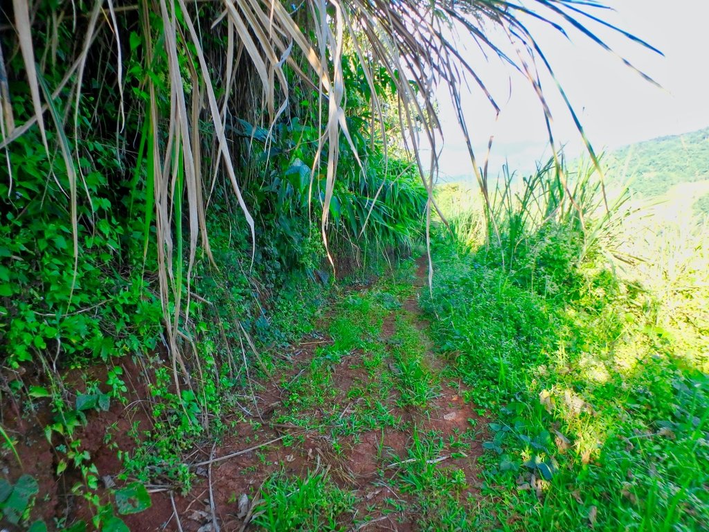
Hmm maybe not.
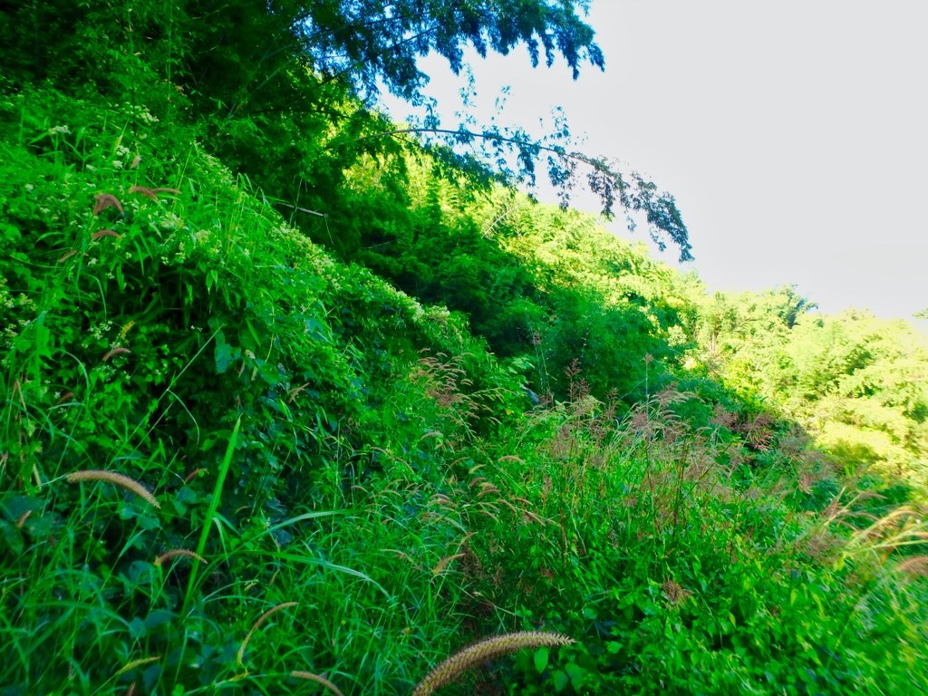
Bugger the trail vanished so a u-turn to retrace my steps, one of several dead ends of the day.
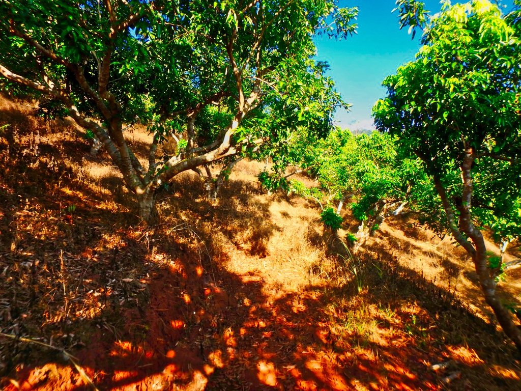
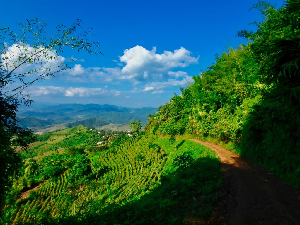
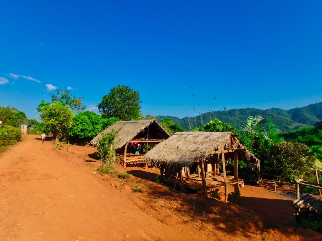
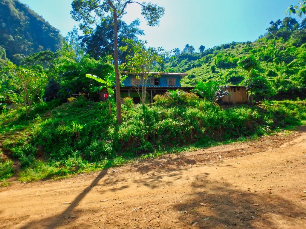
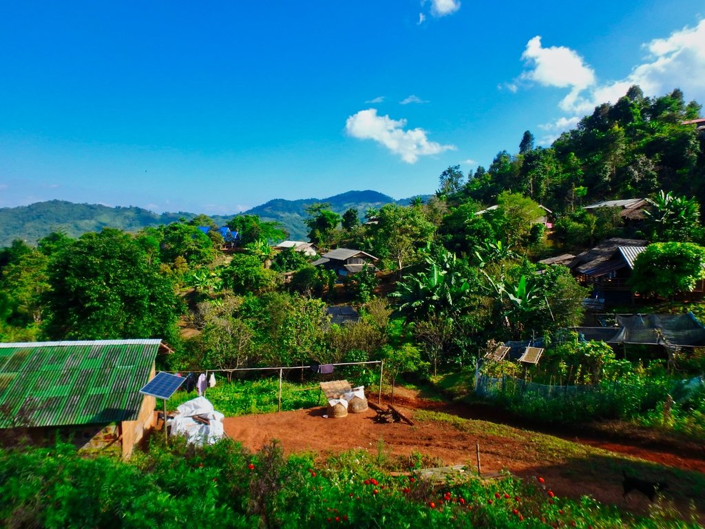
House with a view.
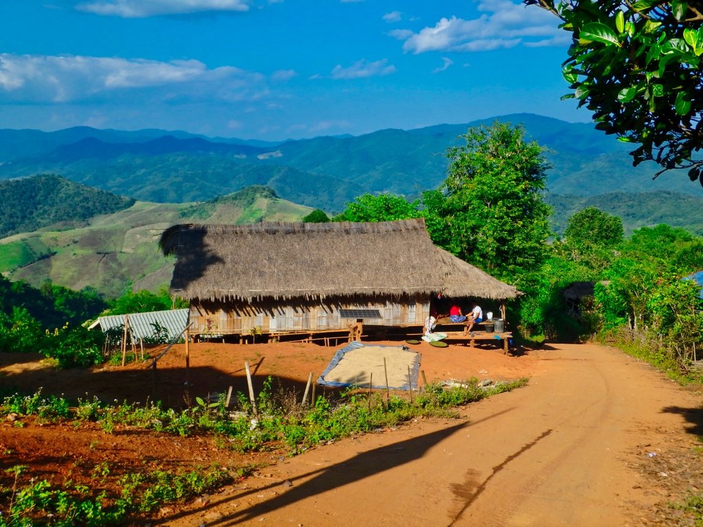
From the village a steep singke track was wet and slippy.
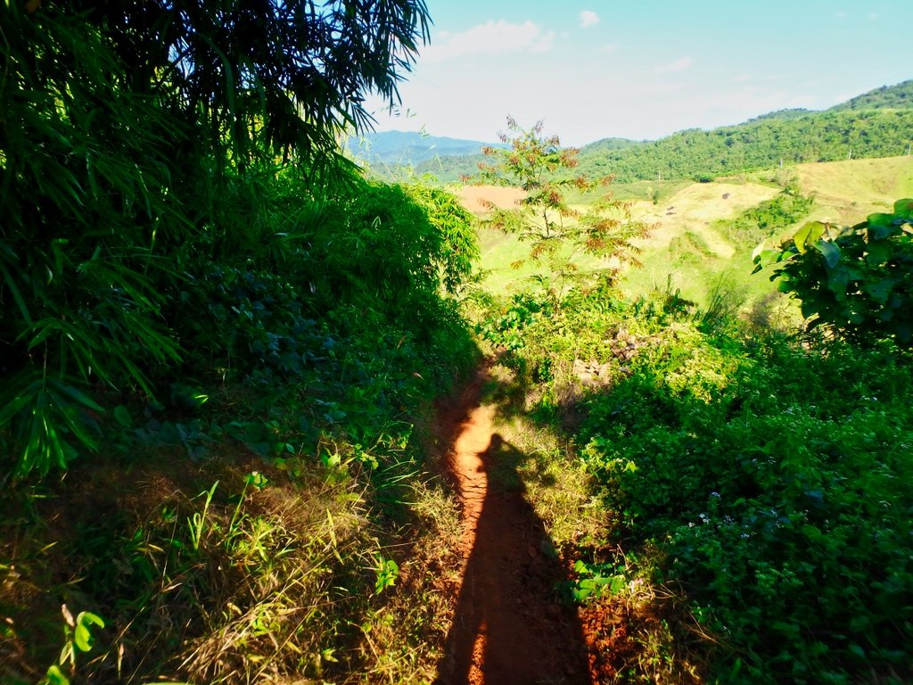
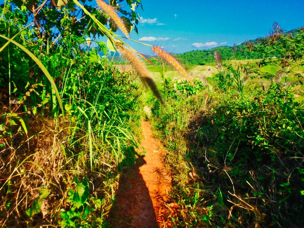
I needed to reach the ridge line in the distance, should be no problem.
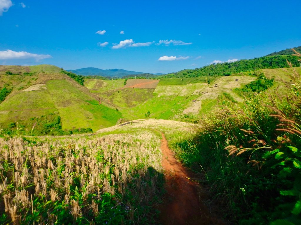
As i reached the river the trail gets narrow and wet as i crossed a water run off the bike bogged down and over we went me under the bike and water running over me was not the most pleasant situation to be in, after a lot of effort i managed to free myself from the bike. Prepared to walk to the paved road as there was no way i could haul the bike from its resting place.
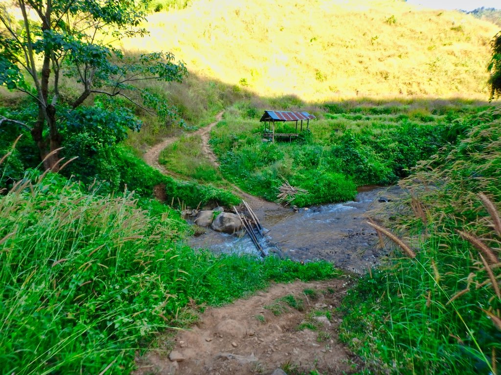
Then the only rider i had seen happened to be coming along like a shining white knight to save the day, he was pissed as a fart but i was relieved for the help.
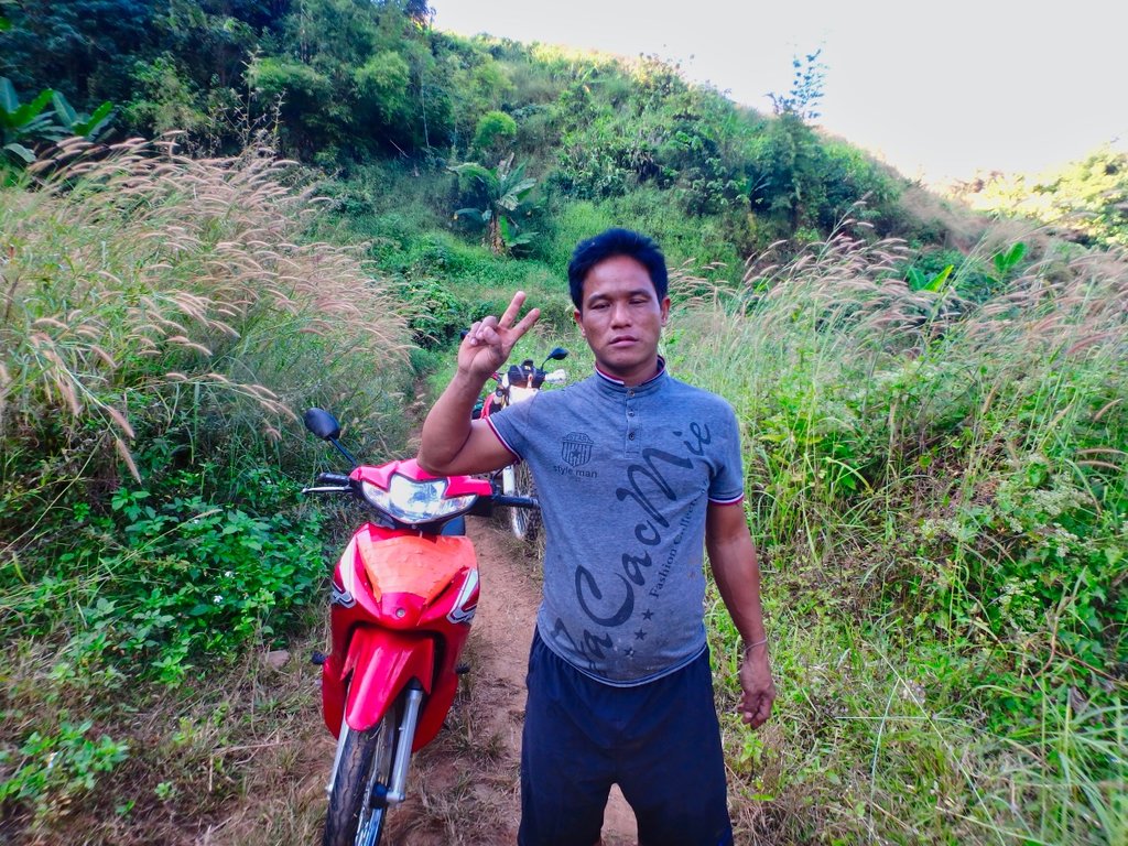
Completed exhausted retrieving the bike, the steep climb was not for the faint hearted and was happy to reach the pavement and soon on the swing bridge to home, it had been a long day a ride that should have been a 4 hour easy ride became a 7 hour adventure but enjoyable non the less.
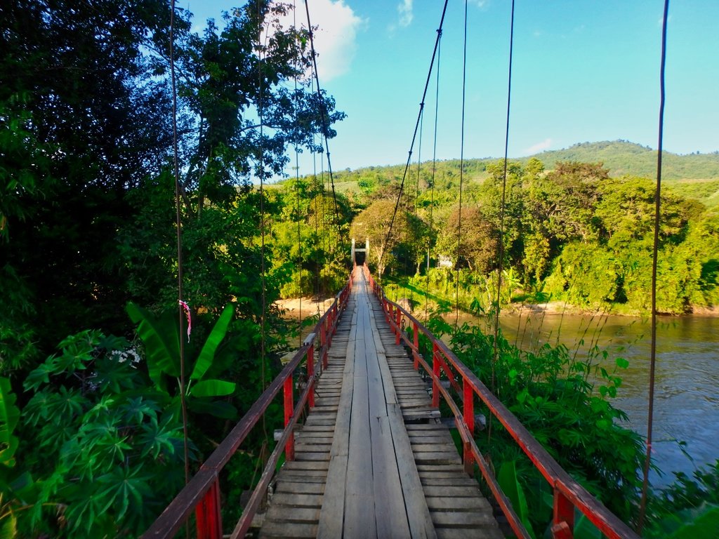
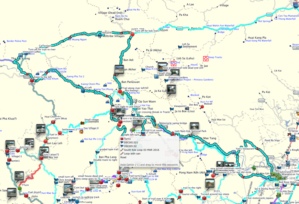
The route.
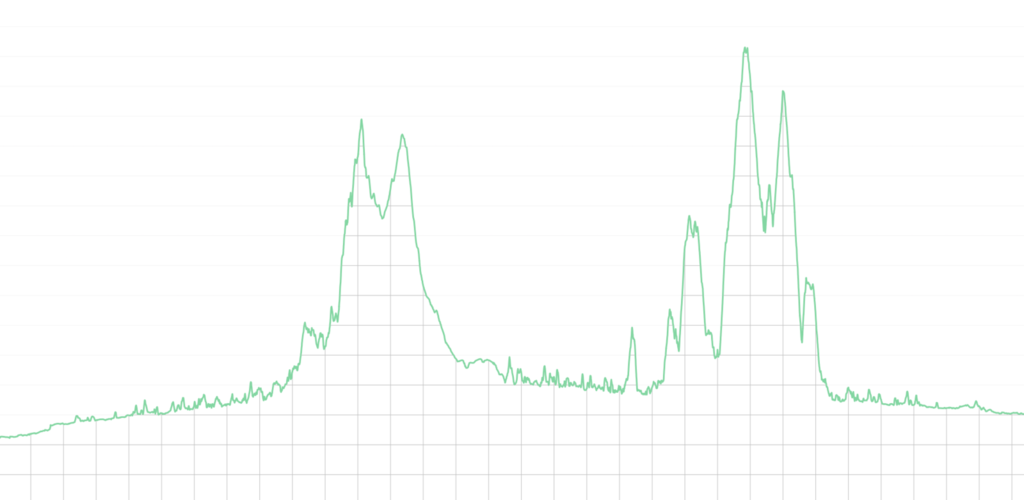
As you can see from the elevation graph the differences in elevation.
gpxviewer_gpx_viewer
GPX file at the bottom of the post.
Lovely cool day clear skies a perfect day to get out in the mountains around Chaing Rai, this was to be my first dirt ride of this dry season in readiness for a forthcoming Cambodia trip and iron out any wrinkles in both man and machine.
Large Buddha image almost completed across from Yan's restaurant location N19.93885° E99.76699° a great stopover point if you like Pizza's.

The terrain varies so much on this route and some great scenery.

Soon onto the dirt and Kok river to my left.

In the distance, an abandoned village, not sure of the reason behind that.


Rice harvest pretty much completed in this area so it will be soon time for burning season.

First of several small water crossings, the water crystal clear.

My heart sank when i saw this, in years to come no doubt the whole trail will be paved but for now only short sections are getting a concrete topping.

Some sections freshly graded now the rains have stopped.

What a view.

Lisu spirit houses to ward away bad spirits each way into the village.


Several small villages along the north side, all desperately poor people, conditions along here in the wet season are not kind.


Leaving the last village marks the start of a series of steep climbs.


Another refreshing dip.

Some of the shaded sections pretty slippy making this long climb interesting.

level section as the next climb unfolds.


Perhaps the steepest of the four hilly sections, fingers crossed nobody is coming down.


The last 10 km is like a big dipper with a series and steep climbs and equally steep descents.


The trail ahead.

The last km is a steep downhill which is usually as slippy as hell and easy to have the back end come around on you, today was no different and was happy to navigate this section without spilling the bike.

As normal the pictures don't show how severe it actually is.

After reaching the dry sections I warned this couple of the conditions ahead of them, even on a wave, it would be a challenge.

Finally the 1089 in sight near the police checkpoint to Doi Mae Salong.
N20.10148° E99.62132°

Now a 10km ride to the next turn.


At the village of Huai Khum passing the bridge signals the turn for the south side trail.
N20.03769° E99.47648°

An elaborate new Stupa being built on the north side of the river.

A couple of small villages hugging the sides of the river.


Nicely graded off into the distance.


This was the most enjoyable section of this trail but sadly now fully graded.


I reached the junction marking the turnoff back to town is quick time so decided to extend the ride and head off in the direction of Ban Chompoo in search of more interesting riding.


Every year there are more and more new trails as the farmers need access to the growing fields and you can easily get lost up here.


I turned off onto a trail i had done several times before but not this early in the season it was not well travelled.


Still a little wet in places, this caught me out.


This T junction was the begining of the fun bit's to the left now nicely graded to the right single track so right it was to be.


Not much traffic this way so it should be interesting.


Hmm not sure this is a good idea now, but no turning back.


There is a trail somewhere here.


Nearing the river it gets pretty boggy.


Surprisingly deep crossing.

Furniture vendors cant imagine they get much trade up here.


Back on the trail looking good.


This looked promising so far so good.

Hmm maybe not.

Bugger the trail vanished so a u-turn to retrace my steps, one of several dead ends of the day.


House with a view.

From the village a steep singke track was wet and slippy.


I needed to reach the ridge line in the distance, should be no problem.

As i reached the river the trail gets narrow and wet as i crossed a water run off the bike bogged down and over we went me under the bike and water running over me was not the most pleasant situation to be in, after a lot of effort i managed to free myself from the bike. Prepared to walk to the paved road as there was no way i could haul the bike from its resting place.

Then the only rider i had seen happened to be coming along like a shining white knight to save the day, he was pissed as a fart but i was relieved for the help.

Completed exhausted retrieving the bike, the steep climb was not for the faint hearted and was happy to reach the pavement and soon on the swing bridge to home, it had been a long day a ride that should have been a 4 hour easy ride became a 7 hour adventure but enjoyable non the less.

The route.

As you can see from the elevation graph the differences in elevation.

gpxviewer_gpx_viewer

