johnnysneds
Senior Member
- Joined
- May 14, 2011
- Location
- Chiang Mai
- Bikes
- Multistrada 1200S Touring, WR450F, KTM200EXC, Gas Gas 280, PCX
This is just an idea/suggestion and was wondering if anyone else might be interested.
Im building myself up for excursions over the borders at some point. The problem I have I am no Bear Grylls when it comes to roughing it in the wild. I have bought all the gear for getting down and dirty for a night or two in the jungle. I went for a tent rather than a hammock as I had a nightmare with one in Cambodia and I ended up in a tangled mess on the grass freezing my gonads off, never again.
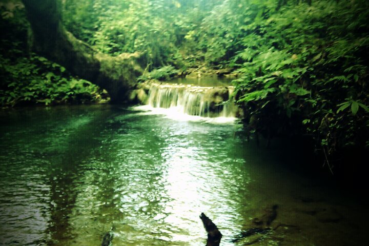
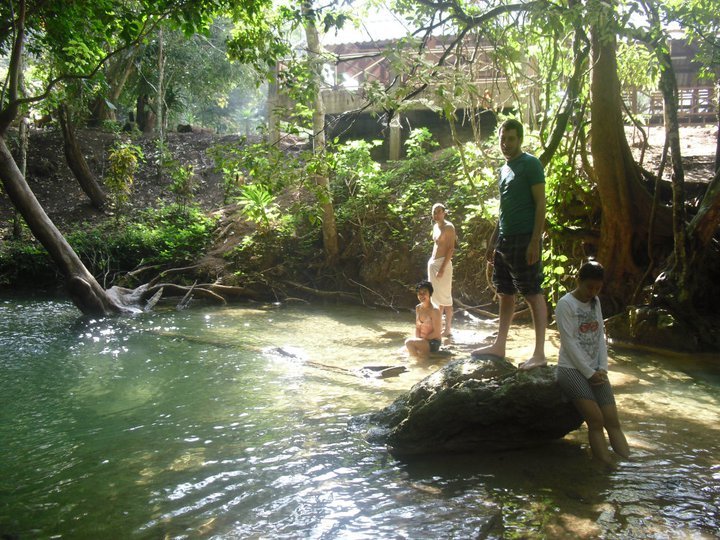
So would anyone be interested in testing their gear out for real locally. I dont know the full details but Huay Tung Thao reservoir has a camping site that looks like it can be rented. There's also a small site at the Mae Sa waterfall which probably could be used. Im sure there's lots more but I dont know.
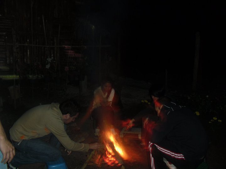
The bikes could be loaded up early and we could head off for a day of EASY riding (not last man standing). Do the camping thing somewhere suitable, get a fire going, get someone to turn up in a car with some party ingredients!, pull up a sand bag and see what happens. Get up the next morning with a sore heed and head off for another days riding and return home to your loved ones that evening.
Im going to camp out in my garden tonight to see how it goes :kat
So who's up for this? I'd like to load the bike up as if im going on a big trip and test it all out near to home before I head into the horizon with no idea or a clue
I know there lots of riders well versed on survival skills, maybe you could come along and show us how its done!
Get her loaded up!

Ride

Set up camp


And have a laugh

Im building myself up for excursions over the borders at some point. The problem I have I am no Bear Grylls when it comes to roughing it in the wild. I have bought all the gear for getting down and dirty for a night or two in the jungle. I went for a tent rather than a hammock as I had a nightmare with one in Cambodia and I ended up in a tangled mess on the grass freezing my gonads off, never again.
So would anyone be interested in testing their gear out for real locally. I dont know the full details but Huay Tung Thao reservoir has a camping site that looks like it can be rented. There's also a small site at the Mae Sa waterfall which probably could be used. Im sure there's lots more but I dont know.
The bikes could be loaded up early and we could head off for a day of EASY riding (not last man standing). Do the camping thing somewhere suitable, get a fire going, get someone to turn up in a car with some party ingredients!, pull up a sand bag and see what happens. Get up the next morning with a sore heed and head off for another days riding and return home to your loved ones that evening.
Im going to camp out in my garden tonight to see how it goes :kat
So who's up for this? I'd like to load the bike up as if im going on a big trip and test it all out near to home before I head into the horizon with no idea or a clue

I know there lots of riders well versed on survival skills, maybe you could come along and show us how its done!
Get her loaded up!

Ride

Set up camp


And have a laugh


