Captain_Slash
Community Manager
- Joined
- Jun 28, 2011
- Bikes
- BMW 310GS Honda Wave 125 Honda MSX 125
The route 105, 1175
Total distance 206 km
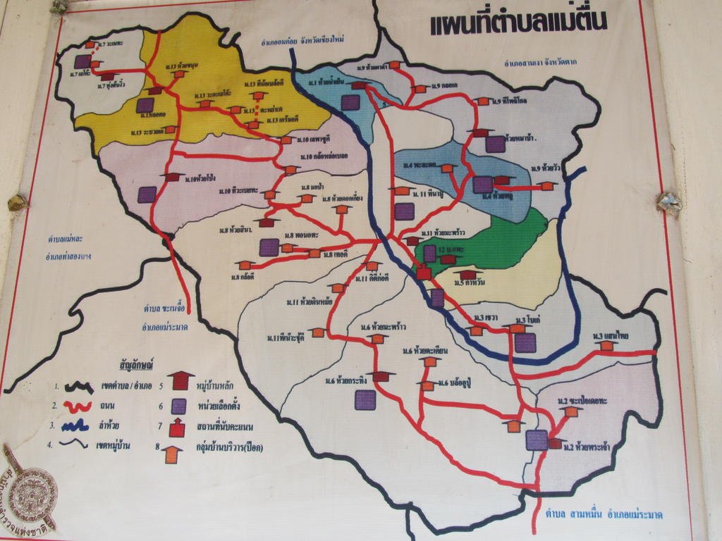
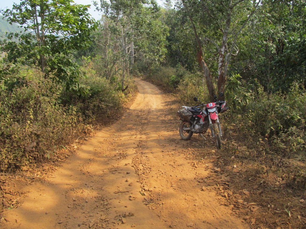
About 20 km along the 1175 it was time to go exploring some tracks I didnt get chance to last trip, it was useful of the Police to have this map showing me where I might find some new unmapped villages
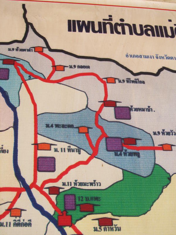
I am not expecting it to be to scale but who cares its a help as nothing shows on the GPS
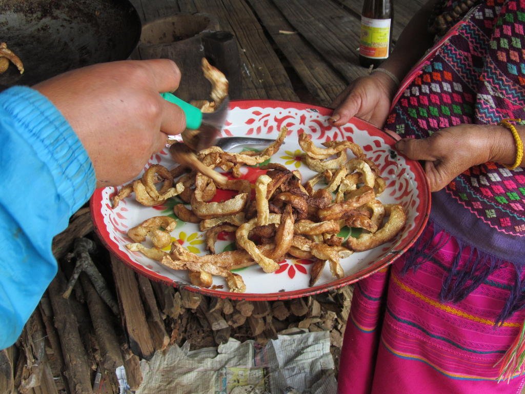
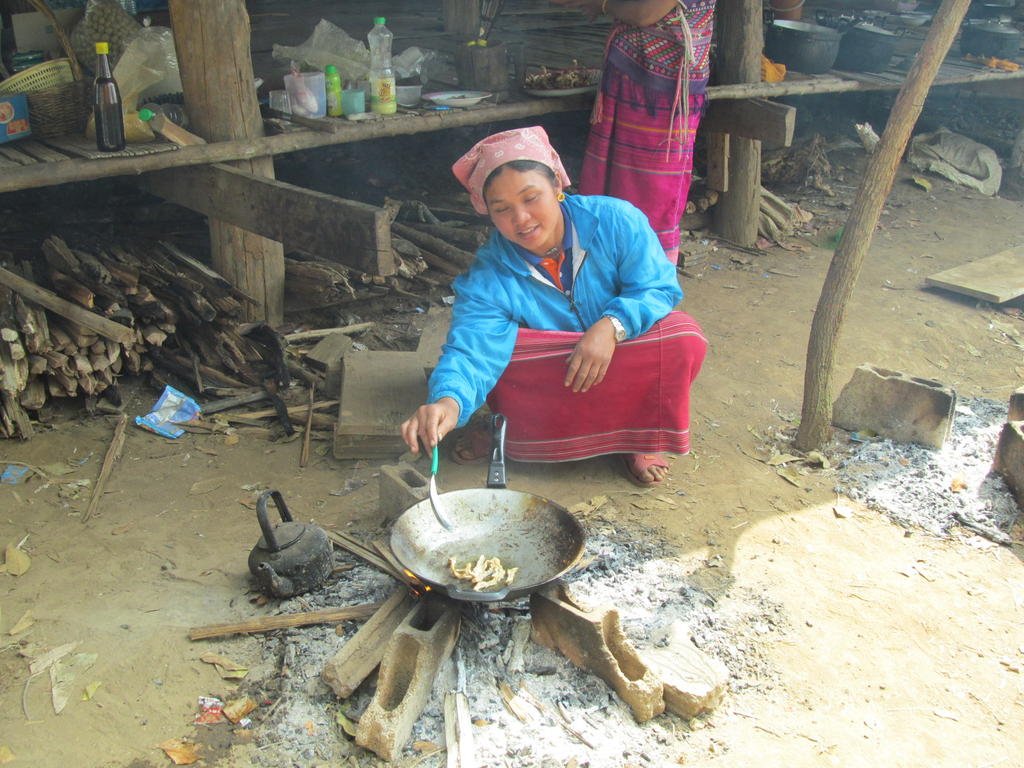
Enjoying a hot freshly cooked sample
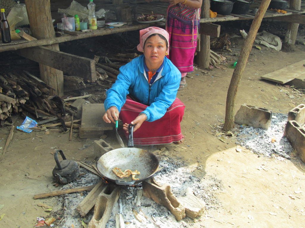
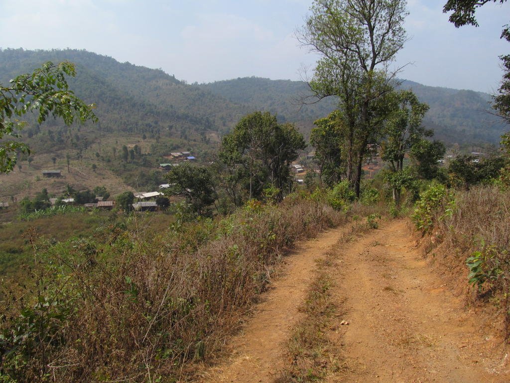
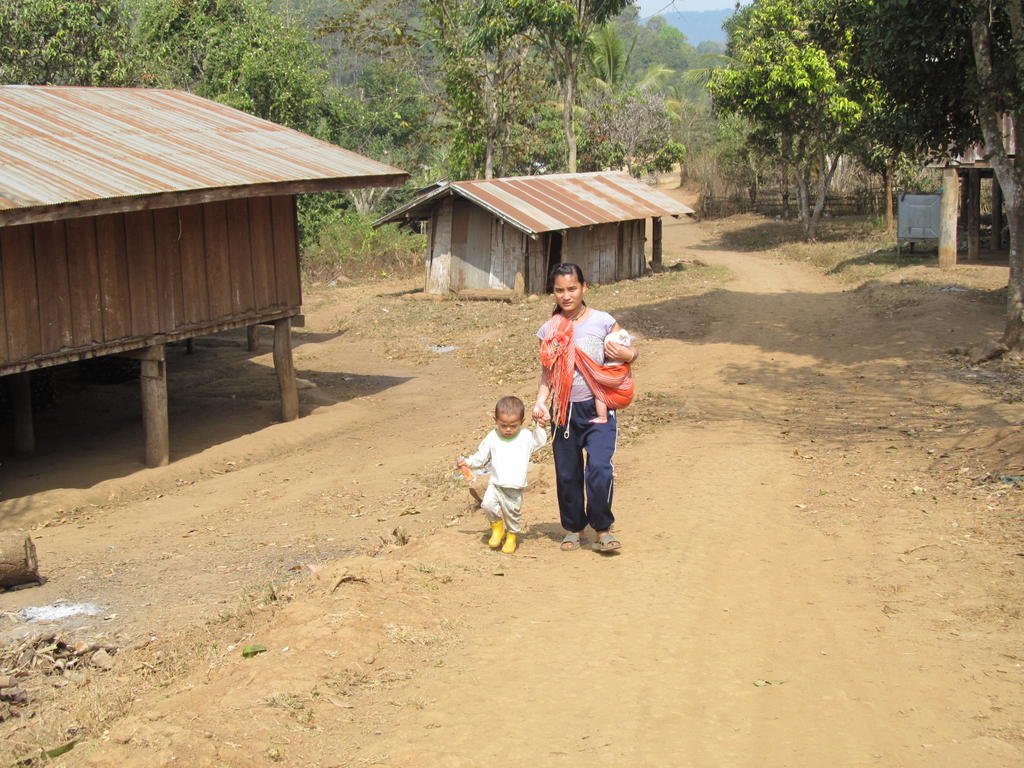
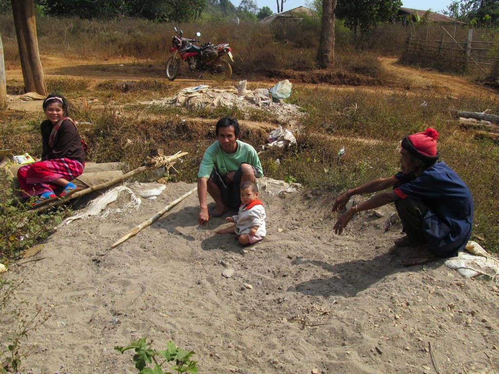
I reach a new village at N17.22910 E098.55424
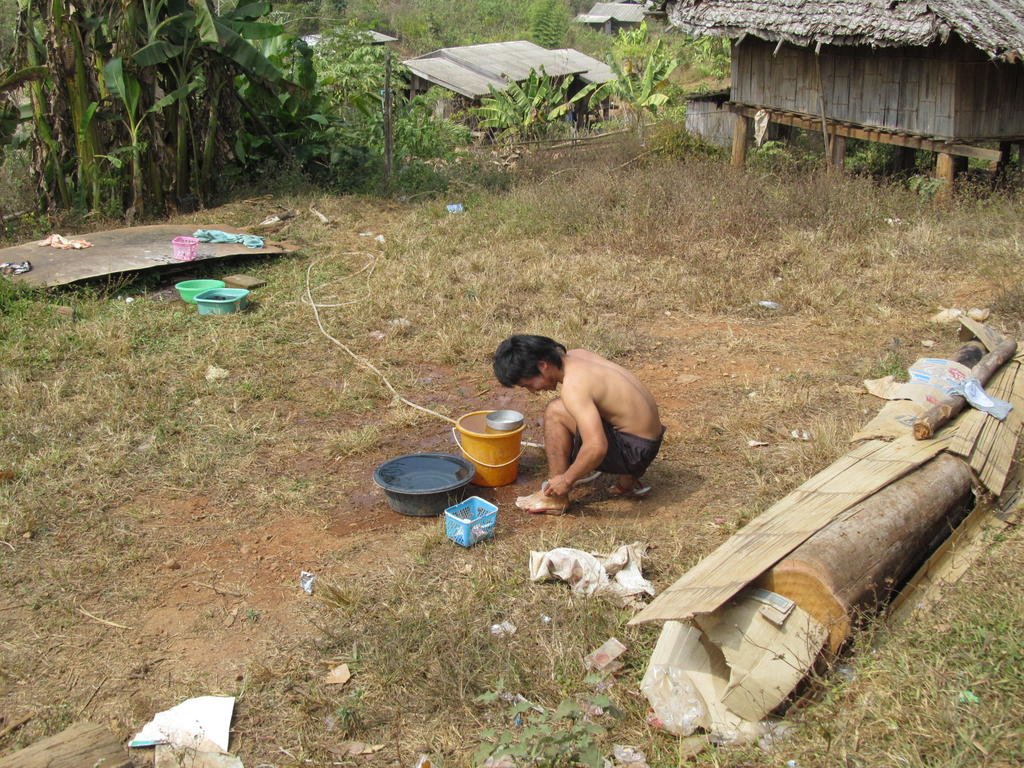
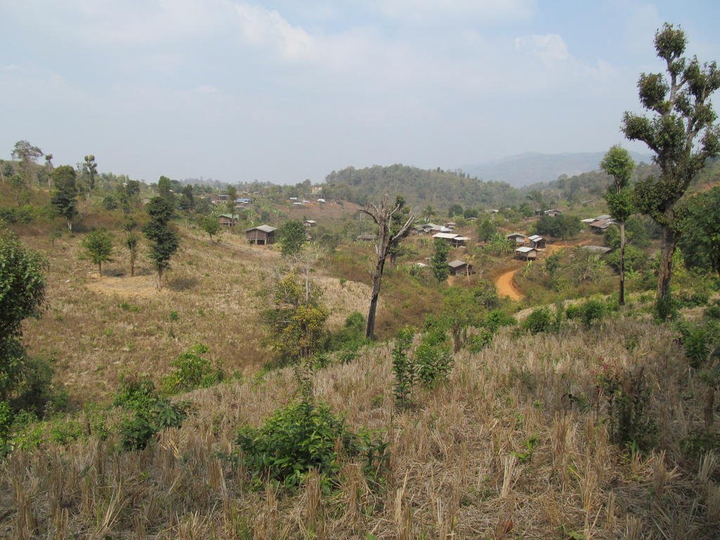
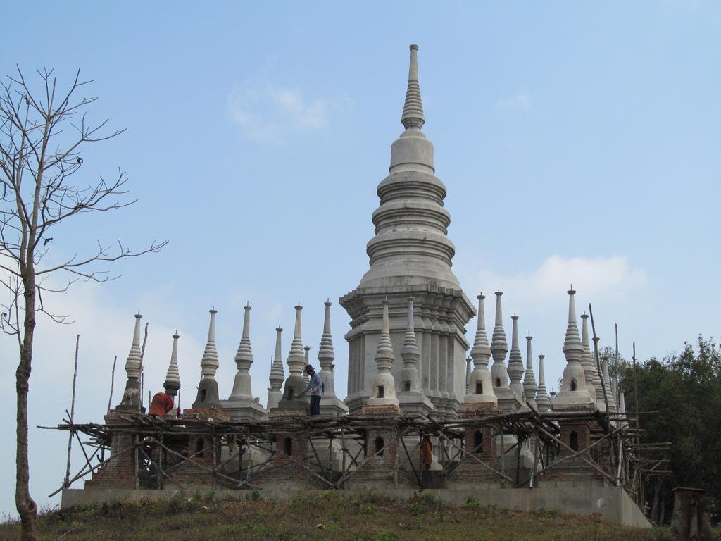
Temple at N17.22949 E098.56142

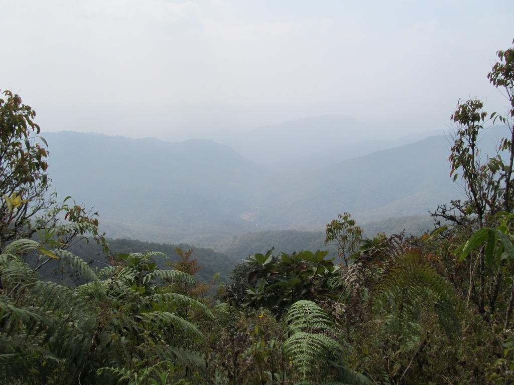
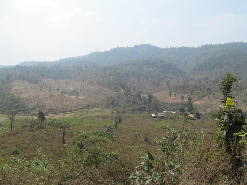
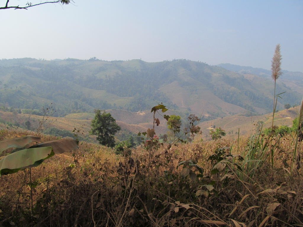
A bit hazy here
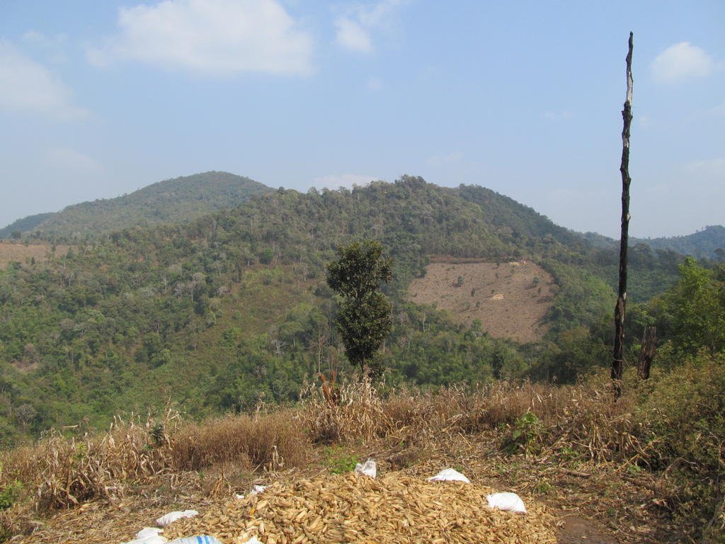
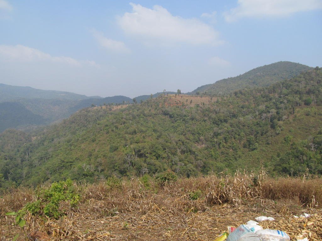
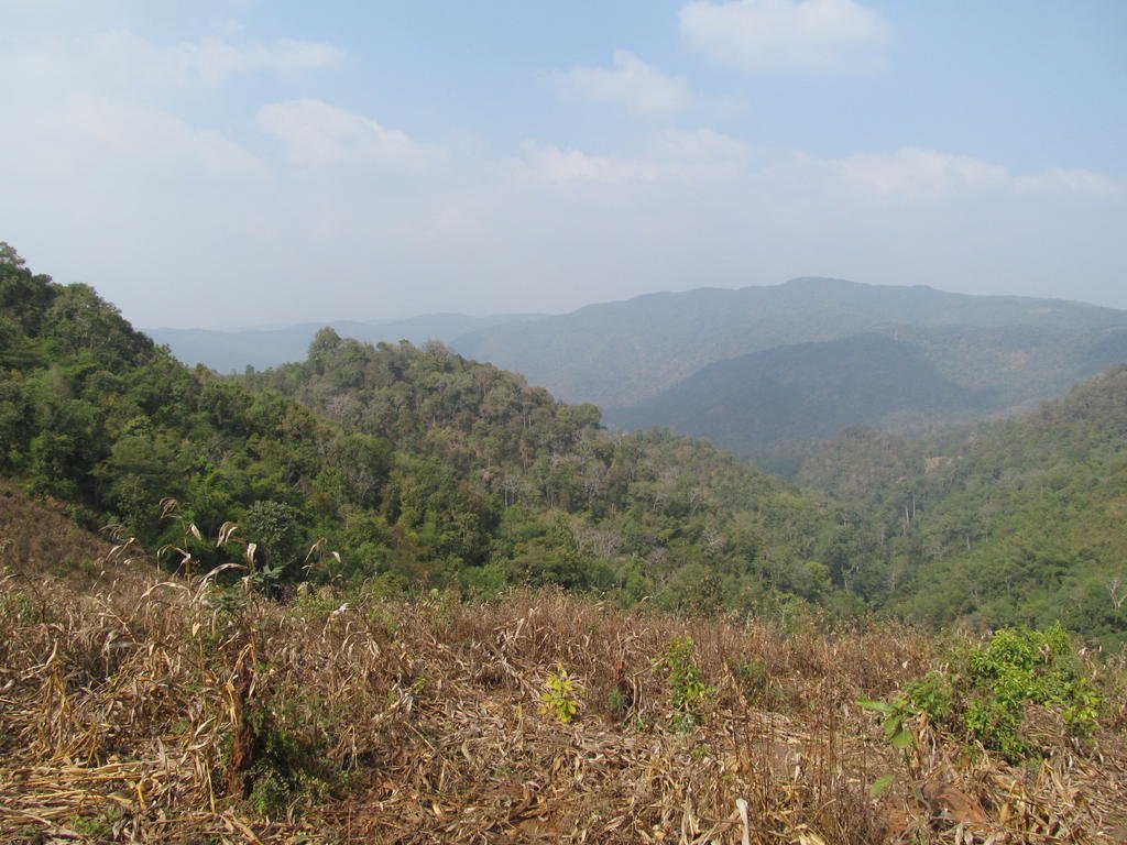
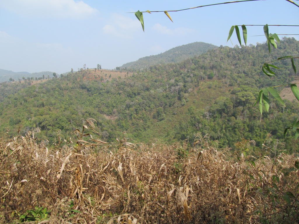
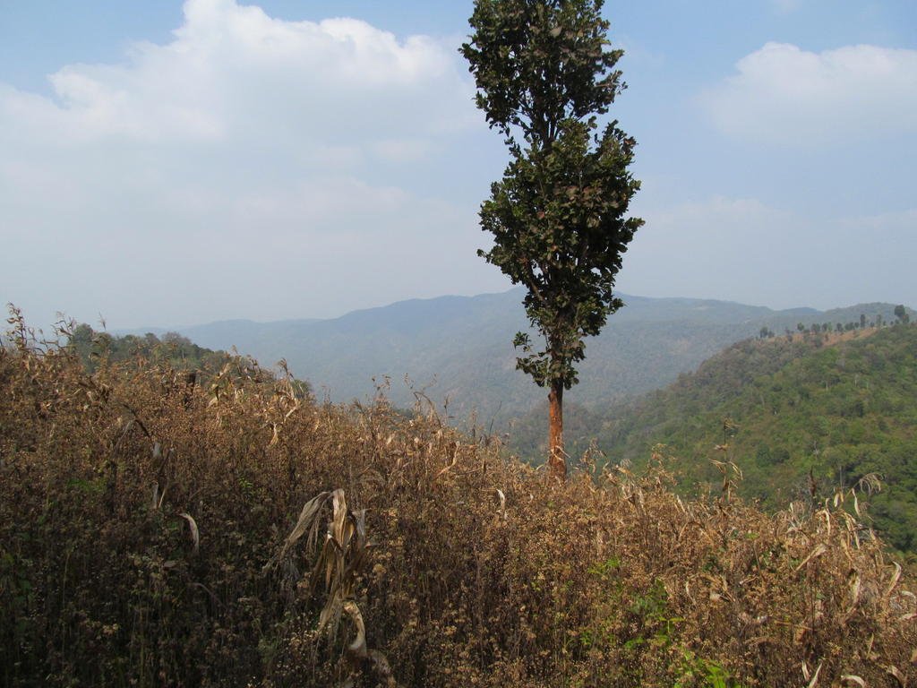
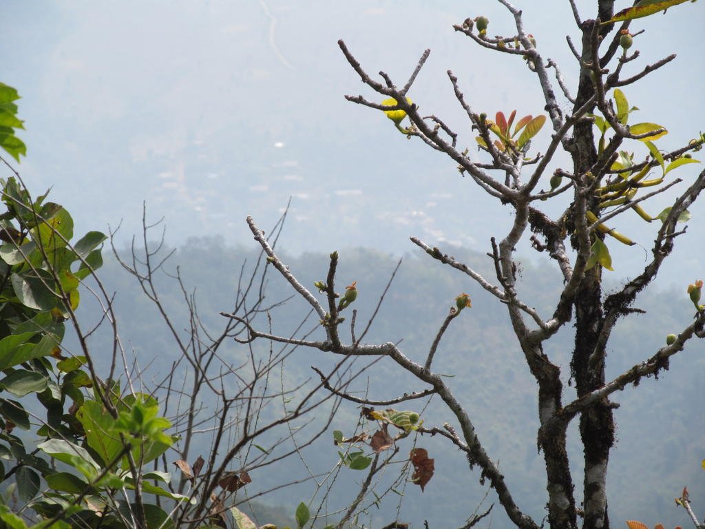
Through the haze I can see a village
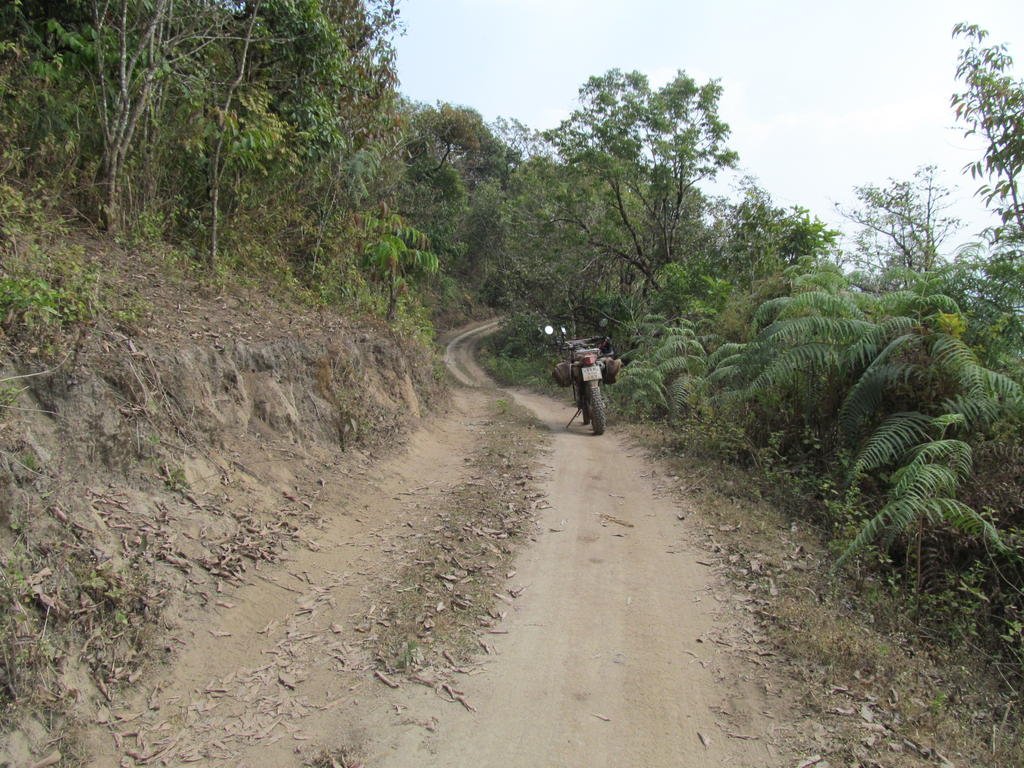
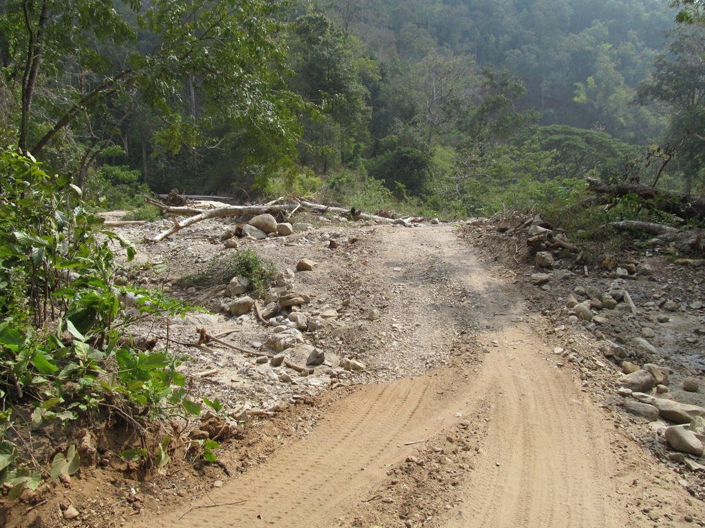
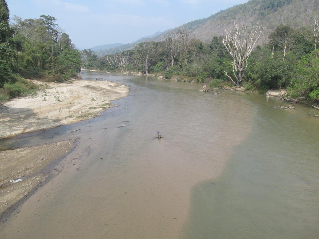
Through a dried up tributary river but look at how much water comes along here going by the tree trunks in it
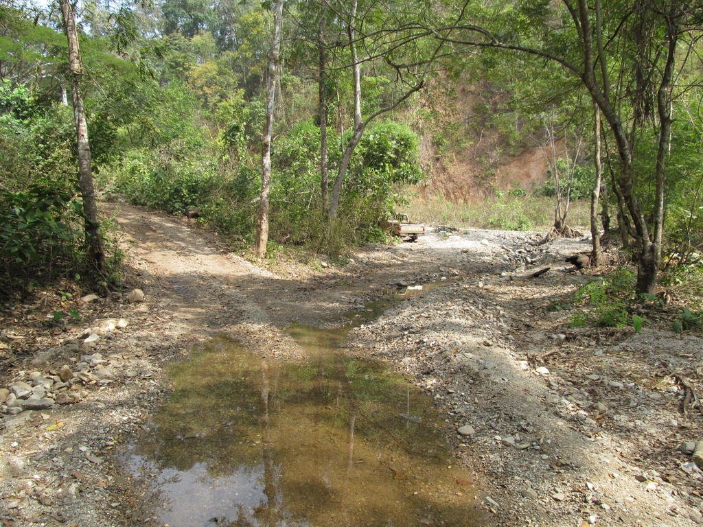
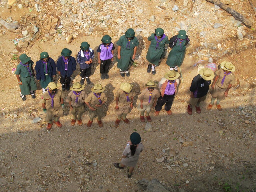
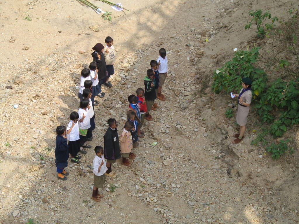
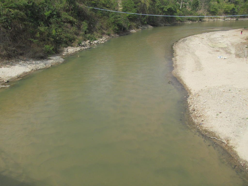
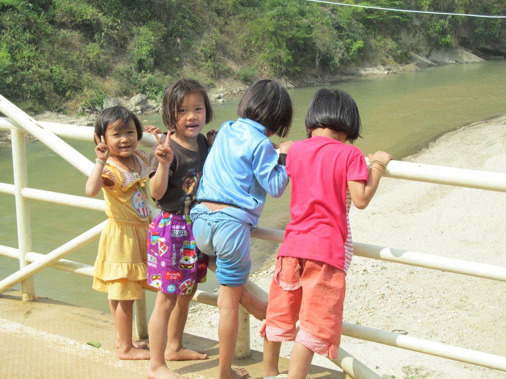

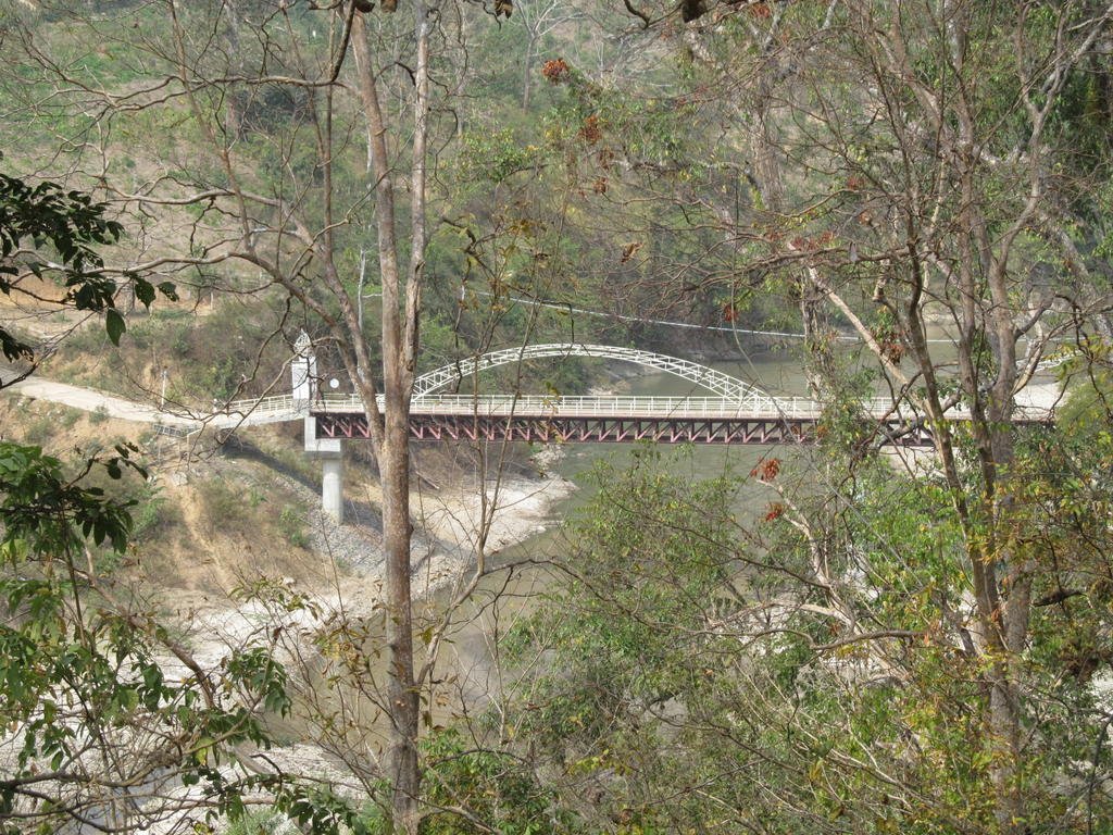
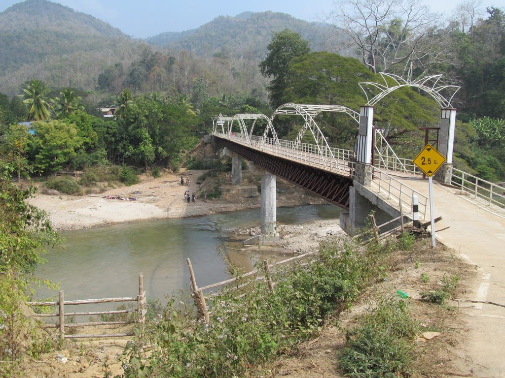
The new bridge has been completed at Ban La
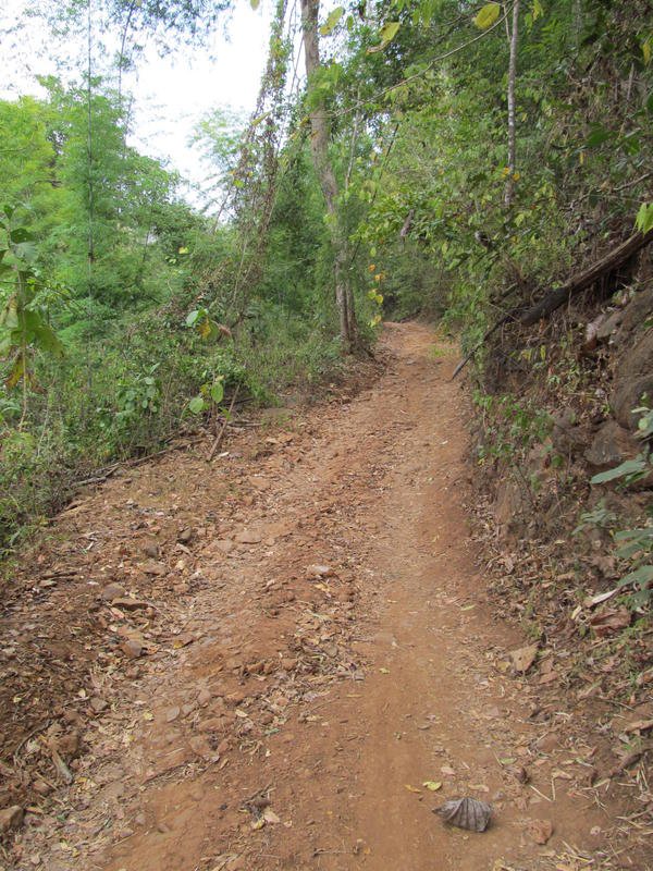
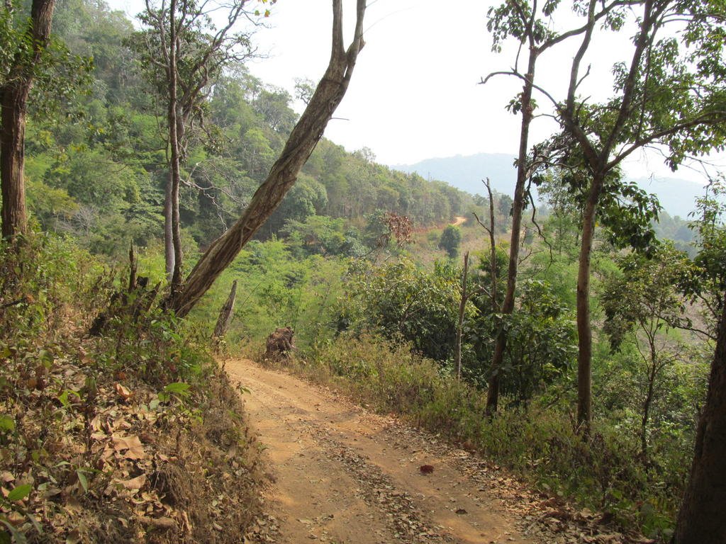
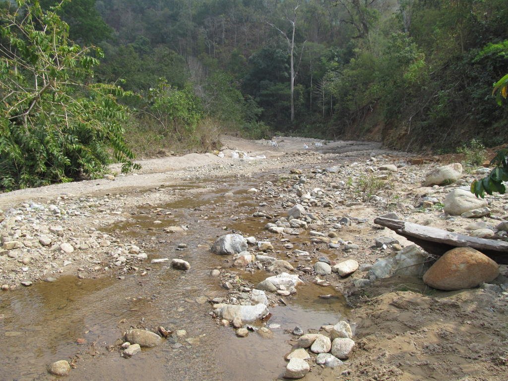
Heading north from Ban La on an unmapped track and its a very rocky start
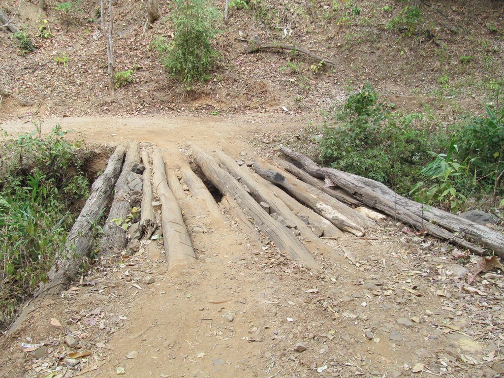
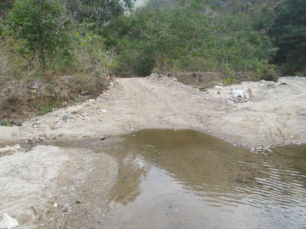
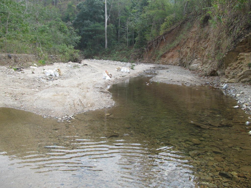
A few water crossings that definitely dont go through during the wet season
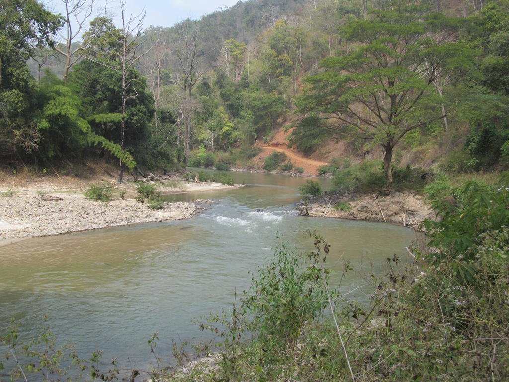
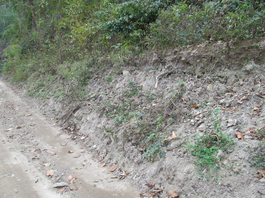
I am now down close to the main river and in the above photo it looks like this track would be more than two metres under water during the wet season
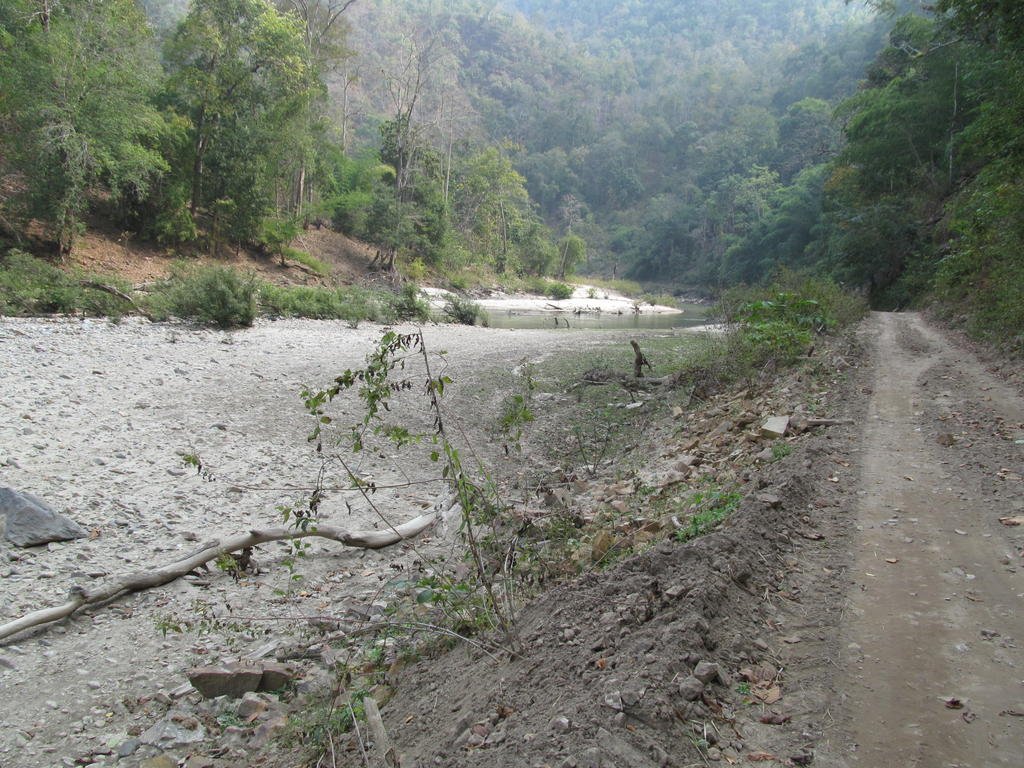
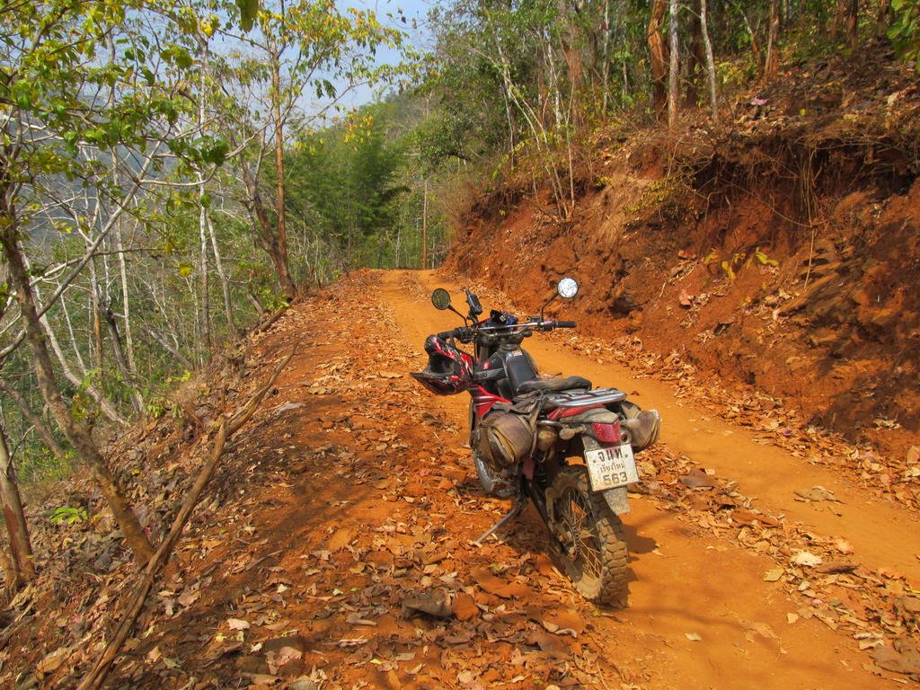
Now on a sandier surface
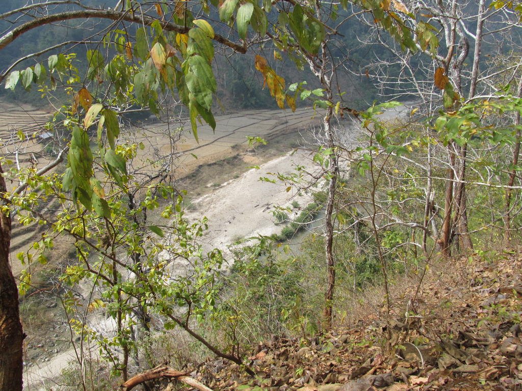
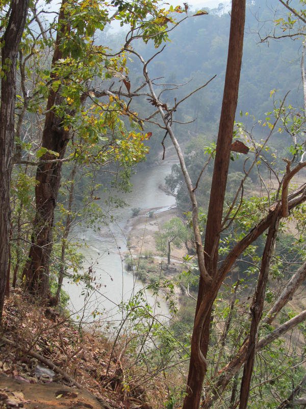
A good loop was found today and theres at least three more unmapped tracks going off of them
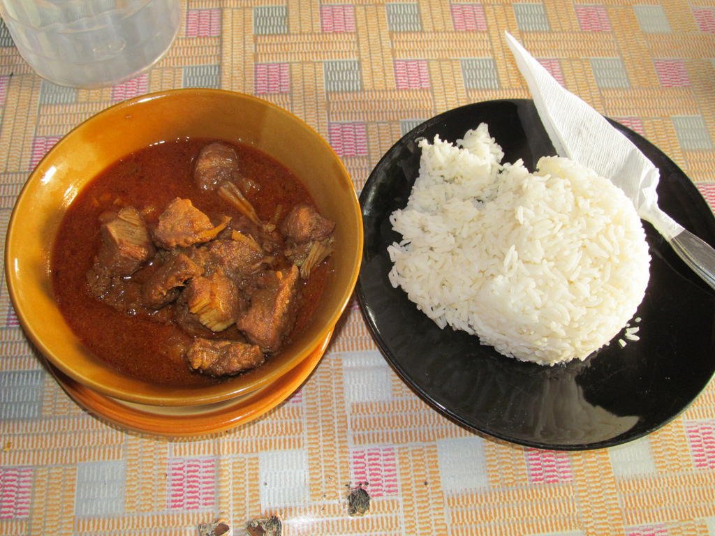
A moo Hunglay at Mai Thai restaurant tonight for 105 Baht
Total distance 206 km

About 20 km along the 1175 it was time to go exploring some tracks I didnt get chance to last trip, it was useful of the Police to have this map showing me where I might find some new unmapped villages

I am not expecting it to be to scale but who cares its a help as nothing shows on the GPS

Enjoying a hot freshly cooked sample


I reach a new village at N17.22910 E098.55424


Temple at N17.22949 E098.56142


A bit hazy here


Through the haze I can see a village


Through a dried up tributary river but look at how much water comes along here going by the tree trunks in it


The new bridge has been completed at Ban La


Heading north from Ban La on an unmapped track and its a very rocky start


A few water crossings that definitely dont go through during the wet season


I am now down close to the main river and in the above photo it looks like this track would be more than two metres under water during the wet season


Now on a sandier surface


A good loop was found today and theres at least three more unmapped tracks going off of them

A moo Hunglay at Mai Thai restaurant tonight for 105 Baht

