15/11 - SabaDee Laos
Weather: Exceptional ... blue sky, not a cloud, 23-25deg

At 8:30 in Chaolem Phra Kiat. It is foggy! I cannot see 50m away ... this is not a joke.

A road would border directly from the village, but not indicated. But I do not want to end up in a border post for cows. I go back few km and take the main road.
How it worked at this border?

Firstly, myself. I need photocopies (1 passport + 1 + 1 visa Thai paper motorcycle)! He just looking for a tip, with "any other document" ... and then he wrote the conveyance of information form 60 Baht: likely, this is definitely the official rate ...
Secondly, the bike, in the office next door. We also need a copy! then, I should have a nice face, so i dont it anymore...
Arrive at Lao border, first barrier, I present my passport - 2 customs guys check - and wait for 3 or 4 minutes - they watch and discuss about the bike. They do not inspect, they are making an oral essay!
To Customs office finally.
1.Visa for $ 30, a sticker in my passport, without name nor expiration date
2.office next door, they ask me all the papers again, including the bike and finally I have the visa expires 30 days later... You have to pay 70 Baht, why? I still do not know.
3.Finally I record the bike. It takes more than 30 minutes. It discusses the import time ... finally I have three weeks, perfect. The papers are issued by a computer, modern etc ... I am a little surprised. I check everything, pay 100 baht again, why??? and can finally get back on my feet for insurance
4.Assurance AGL closed! Toko insurance. 200Bahts for 3 weeks and insurance that assures me, maybe! she did not speak a word of English, I did not understand a word, but I have a legal insurance for cops.
I can finally leave. I ride 2km and find a bank to exchange $ in KIP.
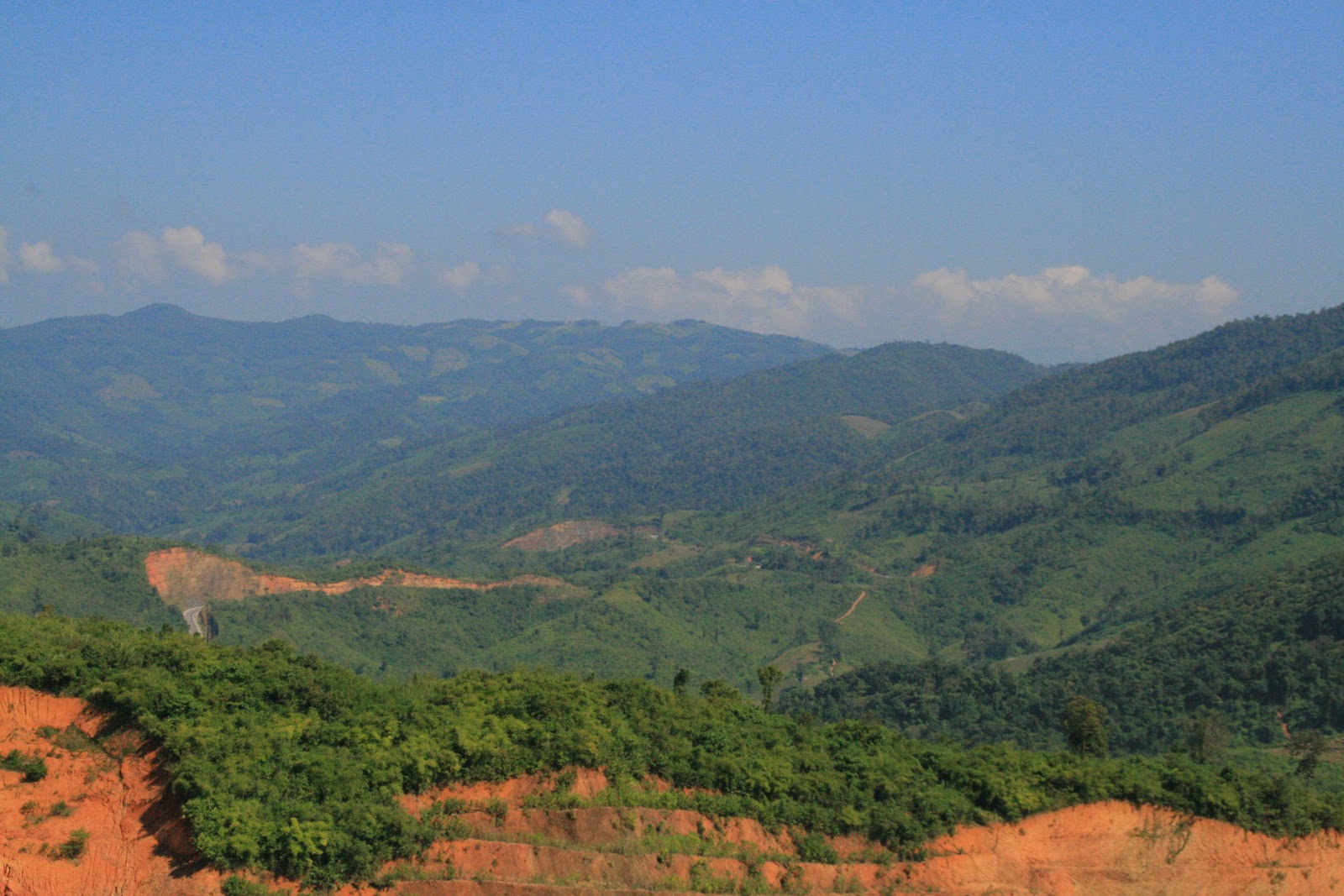
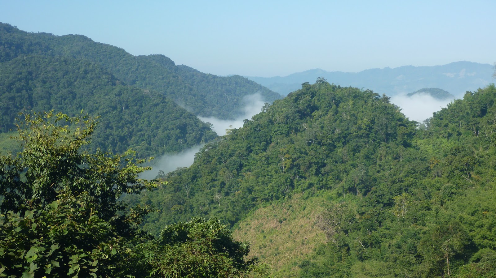
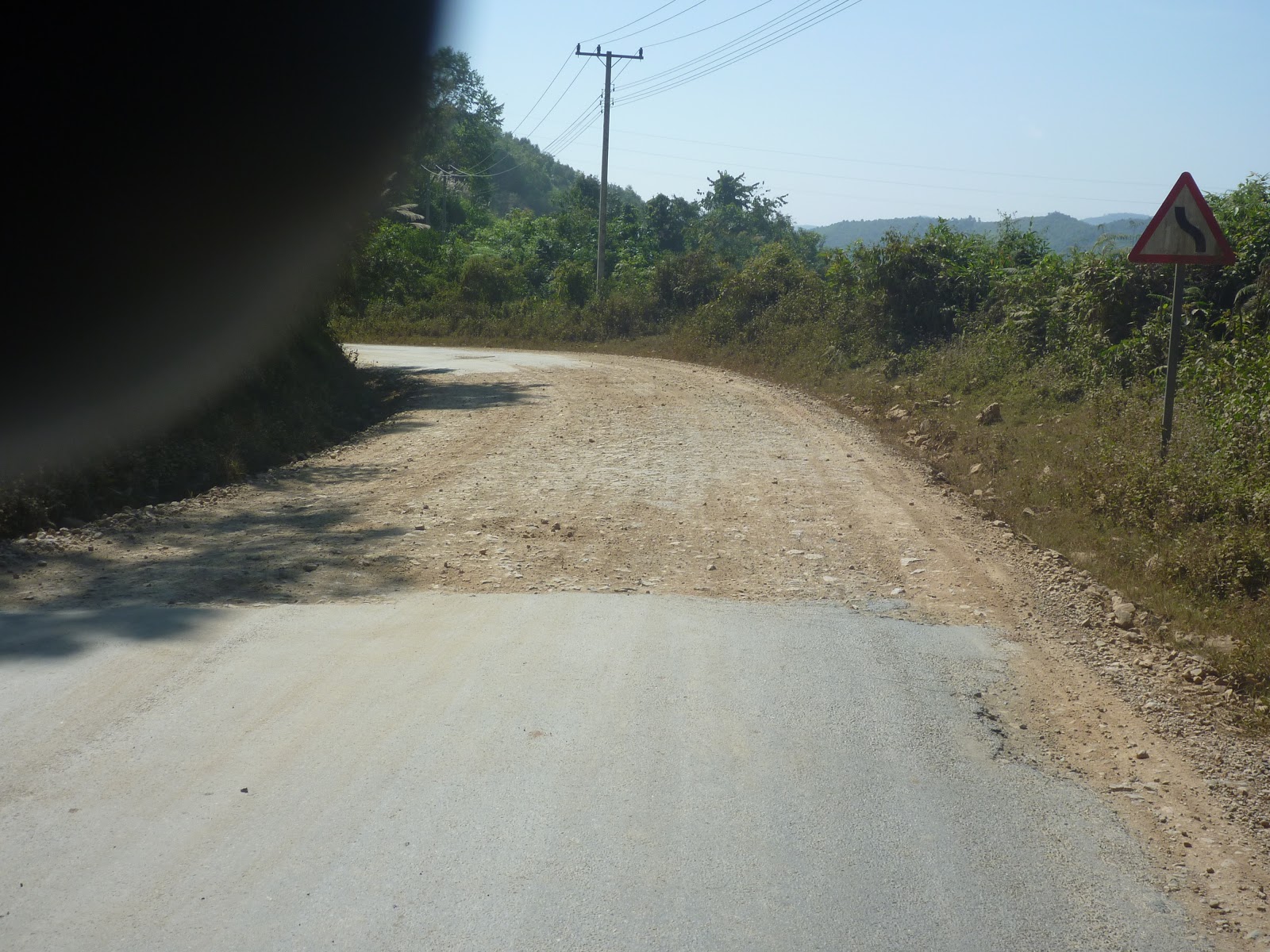
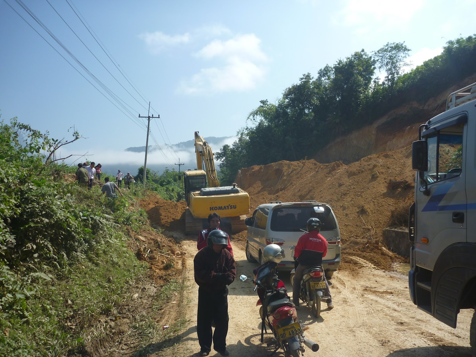
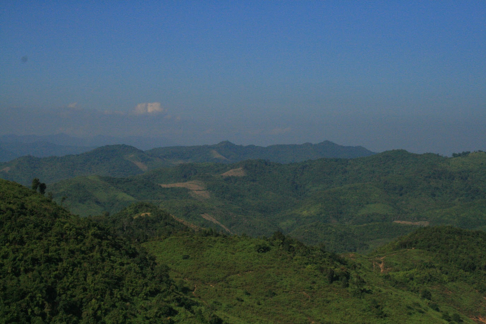
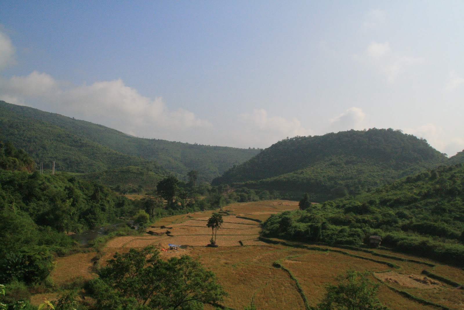
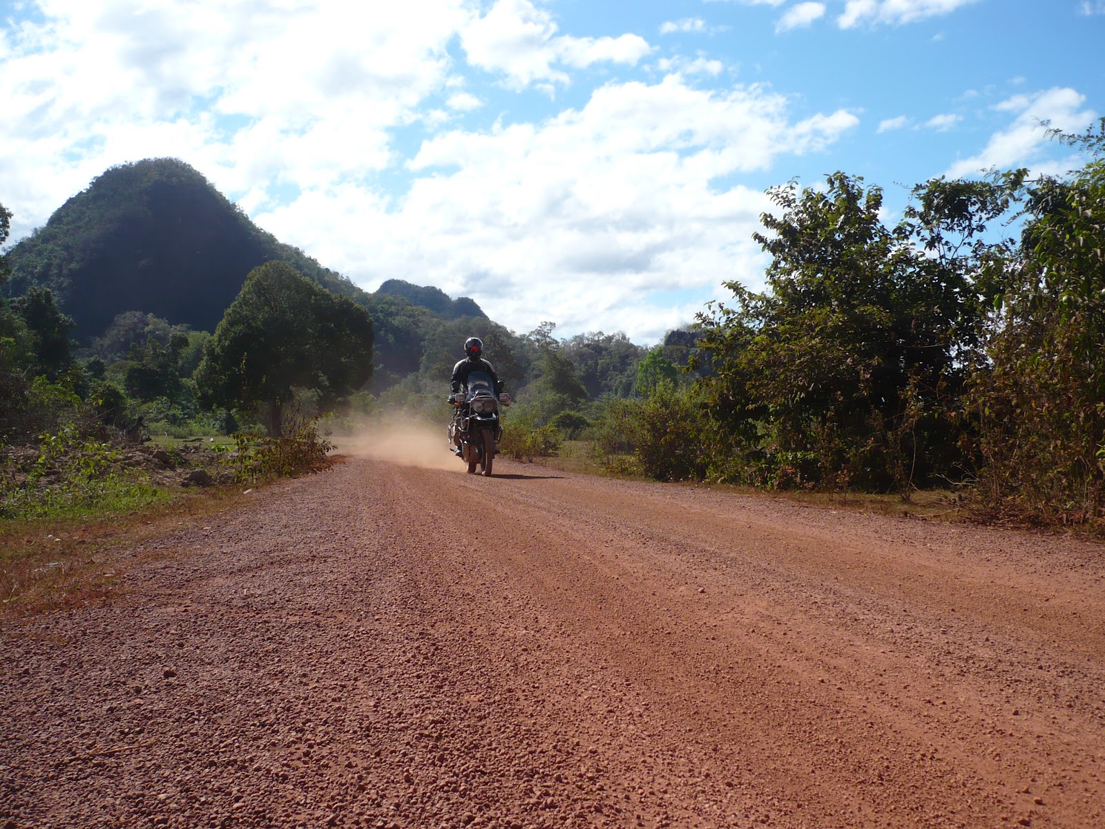
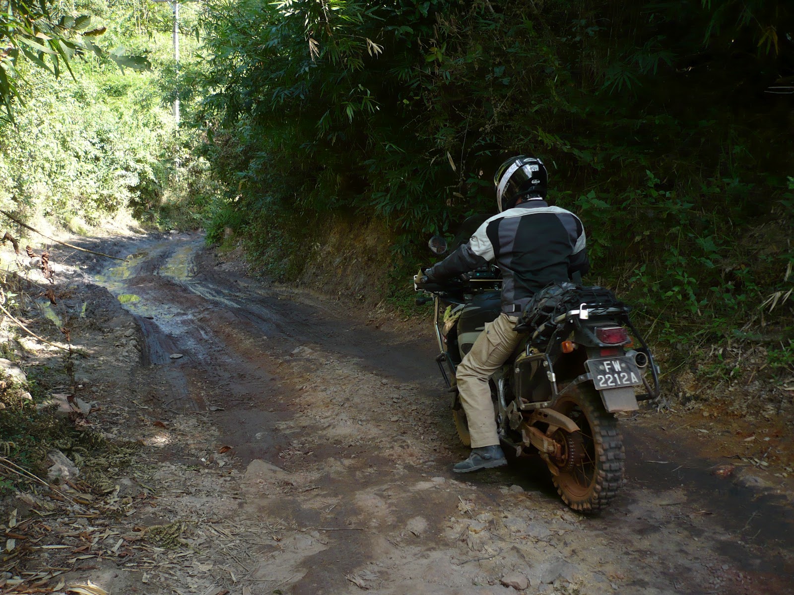
The landscape changes dramatically: Always mountains, but few trees. I am in Laos with most hazardous roads and landslides pretty impressive.

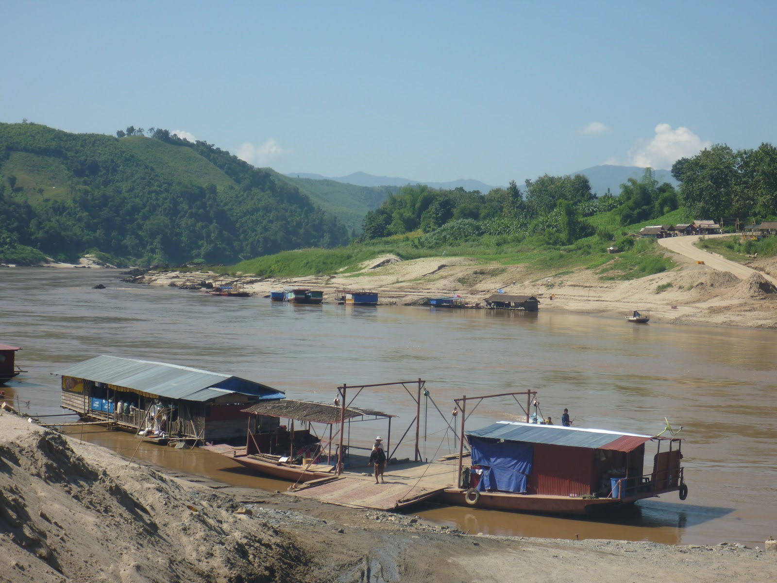
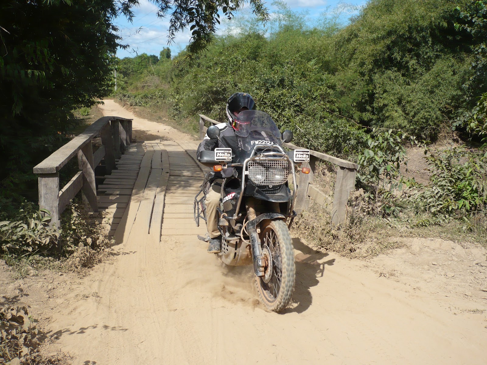
I arrived at the ferry to cross the Mekong River upstream of Pak Beng, as expected. This was not, however: the beach of mud to reach the ferry. 30000kip off my wallet and 20 minutes later I'm on the other side. To exit: a sandy beach! The bike goes deep 30cm at least, a little bit tricky and narrowly avoided falling, hop on the road.


The Mekong is narrow and well stirred. I go towards Pak Beng. Finally there is a sign: Pak Beng 1km on the right. On the small road. 50m further, I must pass over a huge landslide. I almost fall down and then a road of rocks, mud etc... 500m seems the infinite. In fact, there is an other road coming from the north.. Just keep going, then I may have found it.
The town is deserted, the backpackers are not yet arrived.
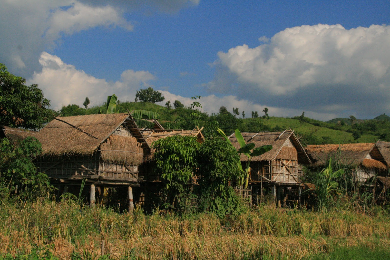
a lunch later, I continue my journey and gorgeous landscapes beginning of each side. I go through the villages of huts with children running around. There are so many that it seems that there are only children! Same as in Thailand, but more impressed by the motorcycle. When a child sees me coming, he called up his friends to see me!
Driving on the right side is not a problem but it is true that the vehicles do not care much of about a vehicle oncoming ...

o Oudomxay. And rice fields ready to be harvested and villages of huts along. then I pass from valley to valley, hills as a background.


 reach Oudomxay, busy city in the mountains that surround it. This changed somewhat with my day. I take a GH for 40000 kip, or 6 USD is not luxurous ... A little bit of internet (!!!) and I go to dinner
Souphailin's restaurant: excellent food, cooked in front of you.

Phil in Chiang Mai indicated me this alternative road from Chinag Mai to Oudom Xai. Indeed the road 1148 + this side of Laos are just incredebible. Much better than crossing the border above Chinag Rai. Thanks again Phil!
Carnet de voyages: SabaDee Laos
GPS:
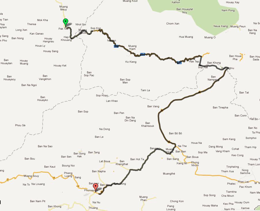
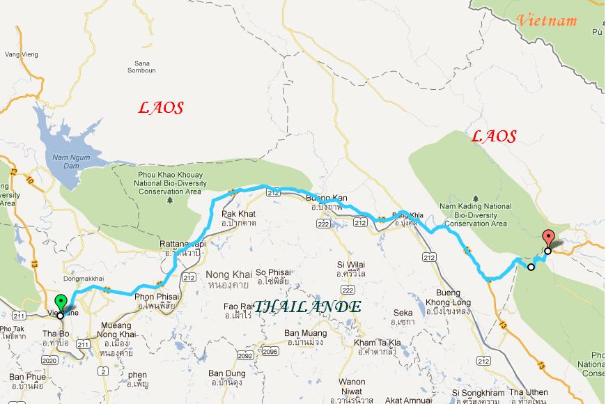
Cartes des voyages: Jour 10: Chaloem Phra Kyat - Oudom Xay