
bsacbob
Administrator (Retired)
- Joined
- Jul 1, 2012
- Location
- Chiang Rai
- Bikes
- Honda CRM-AR 250, Honda CRF 250-L, Suzuki V Strom XT 650 Honda XR250 Baja BMW F650GS
Day 8 Lak Xao to Who Knows Where
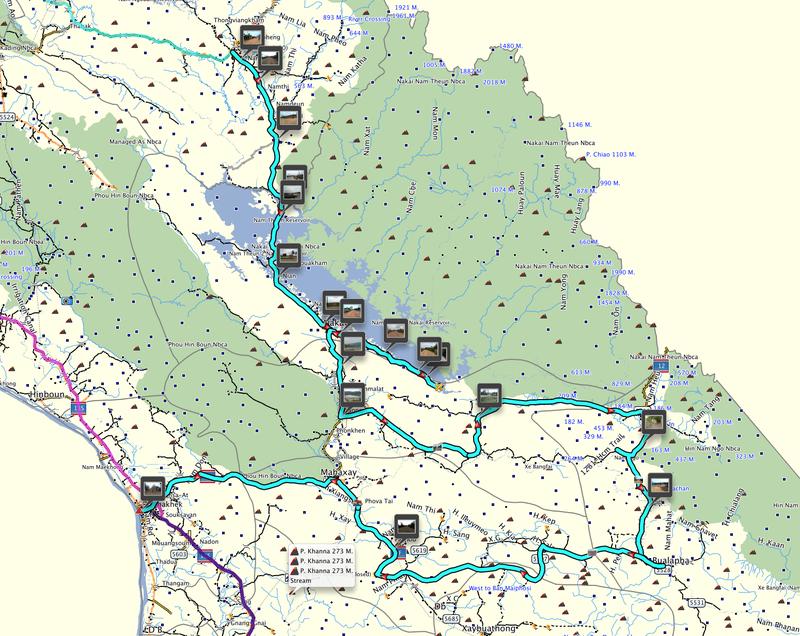
423 Km 10 1/2 hours

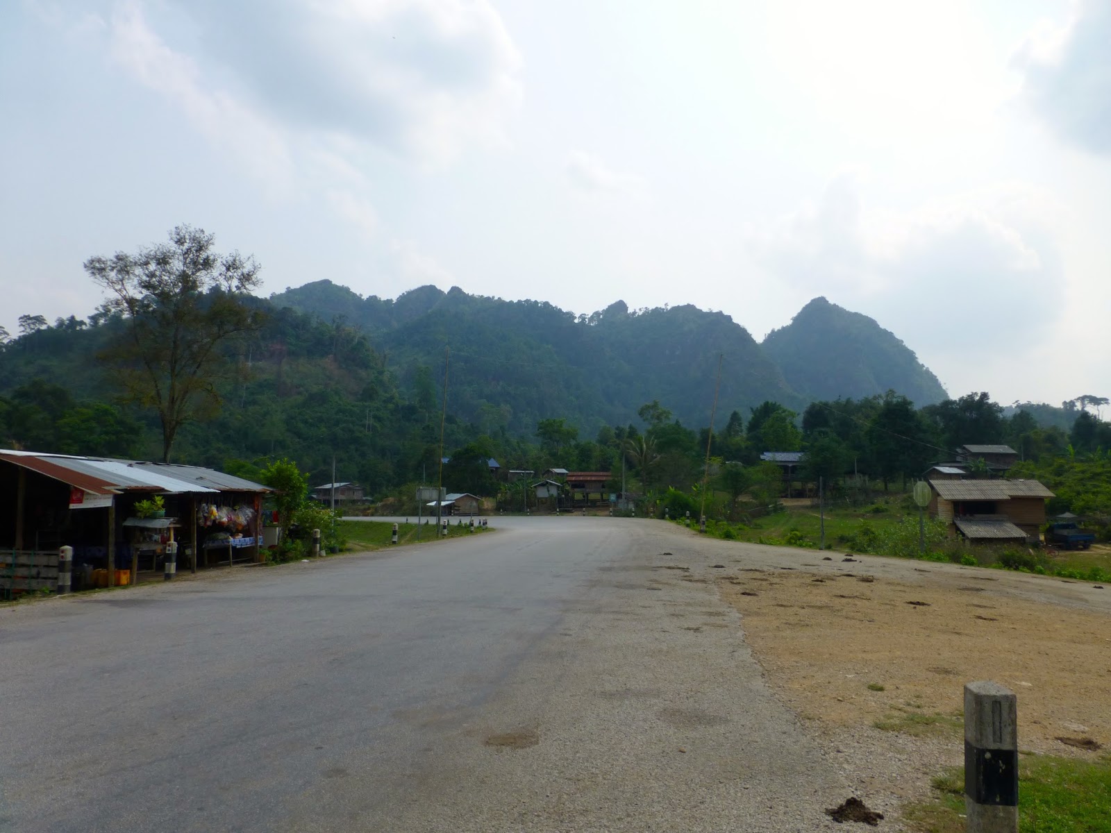
Pretty excited this morning, interesting route ahead with a nice camping spot in mind so after a breakfast of something on a stick i bid farewell to my ever smiling landlady at the Souriya Hotel.
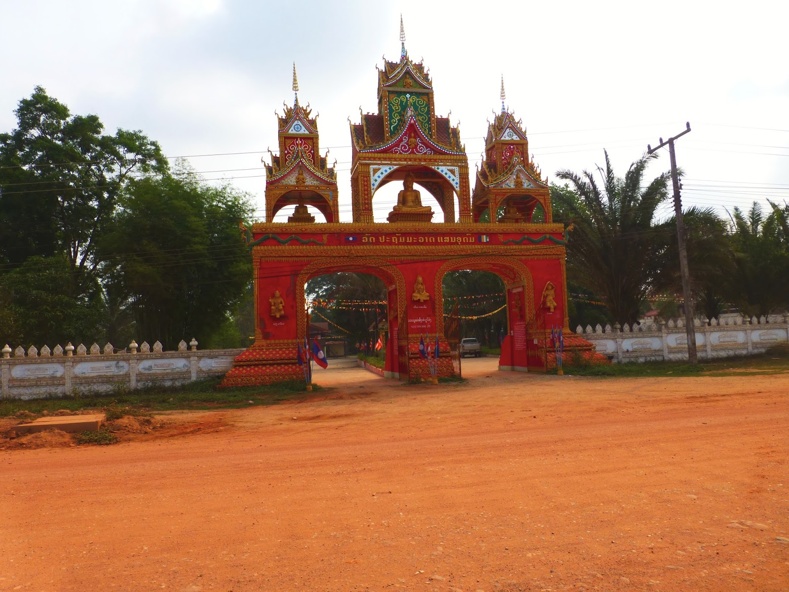
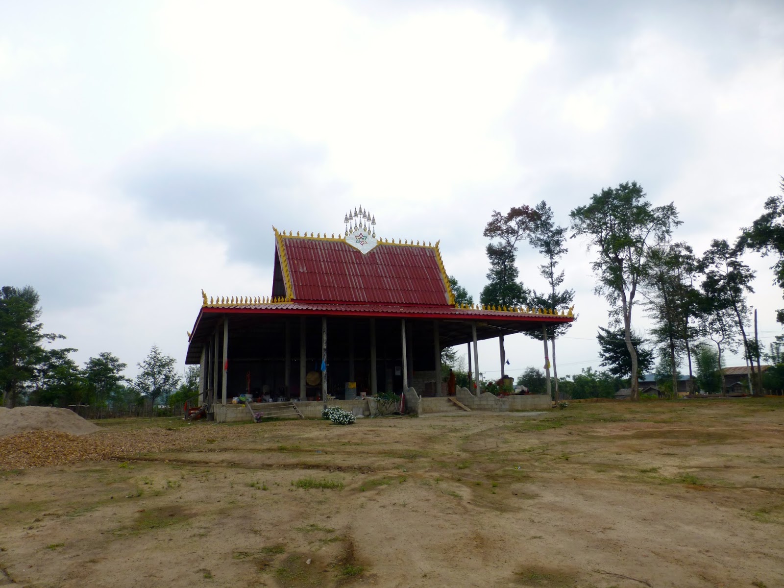
Leaving town passed several more beautiful looking temples i guess money flowing from Vietnam helps boost the local economy


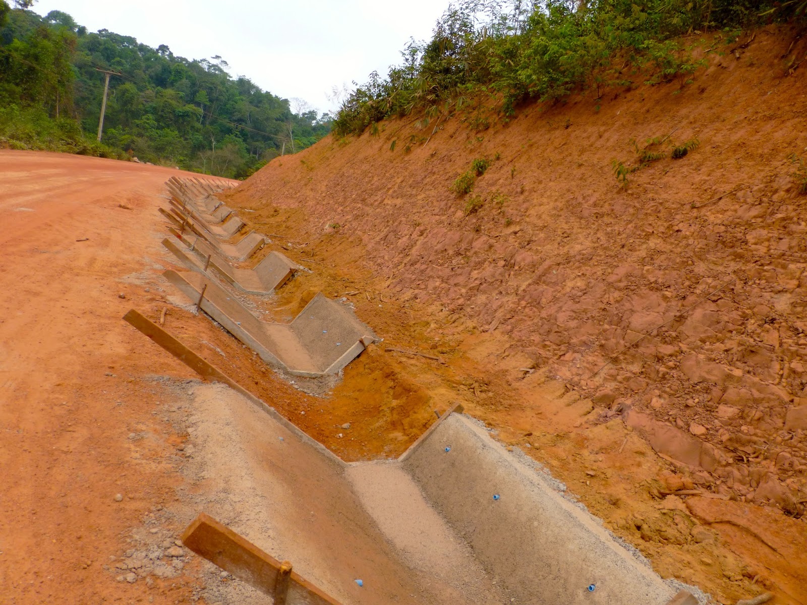
The first sections all graded so i guess this time next year will be paved


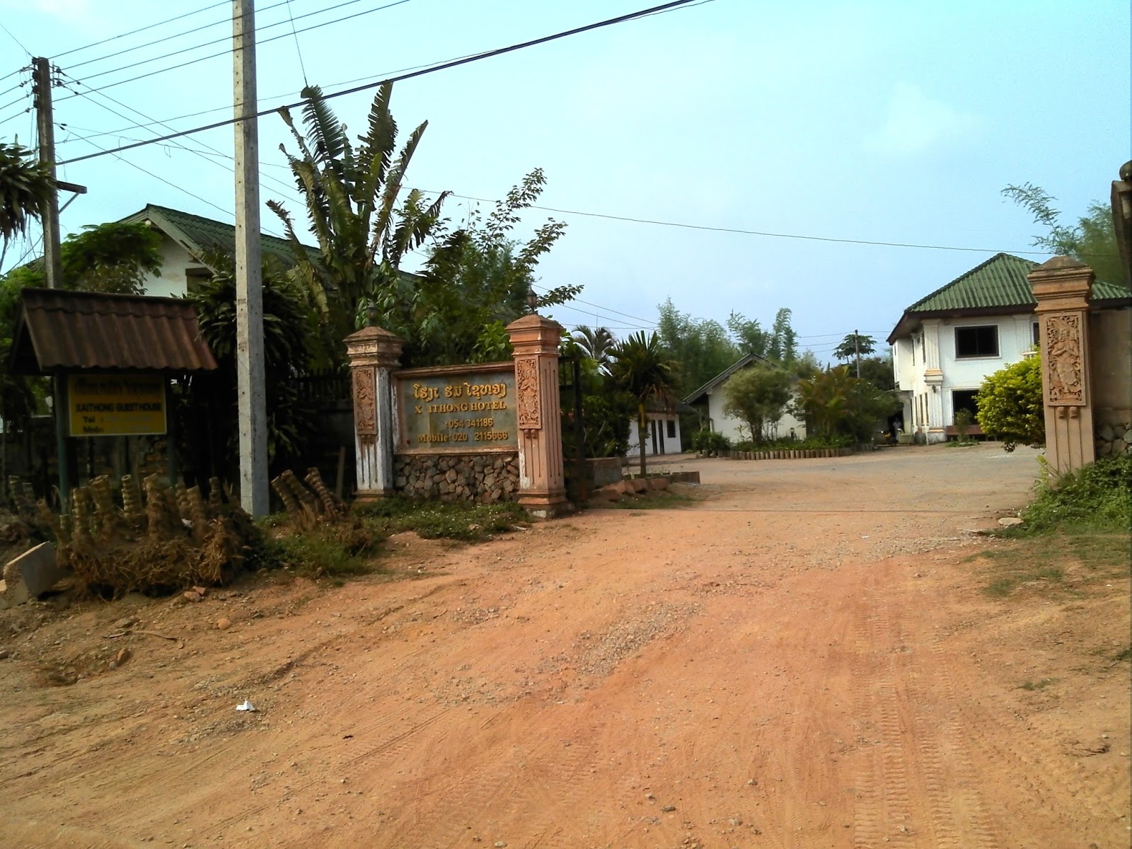
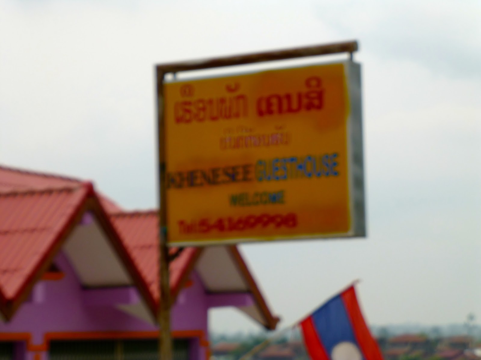
Hotel on the edge of town for next time

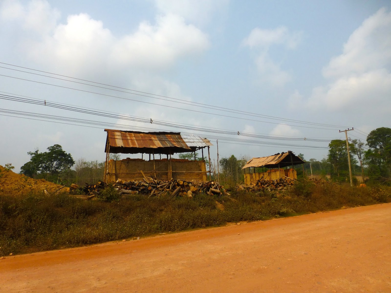
Brickworks

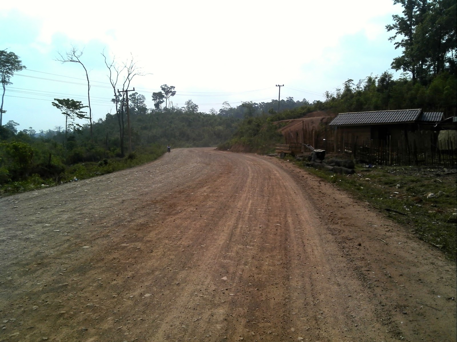
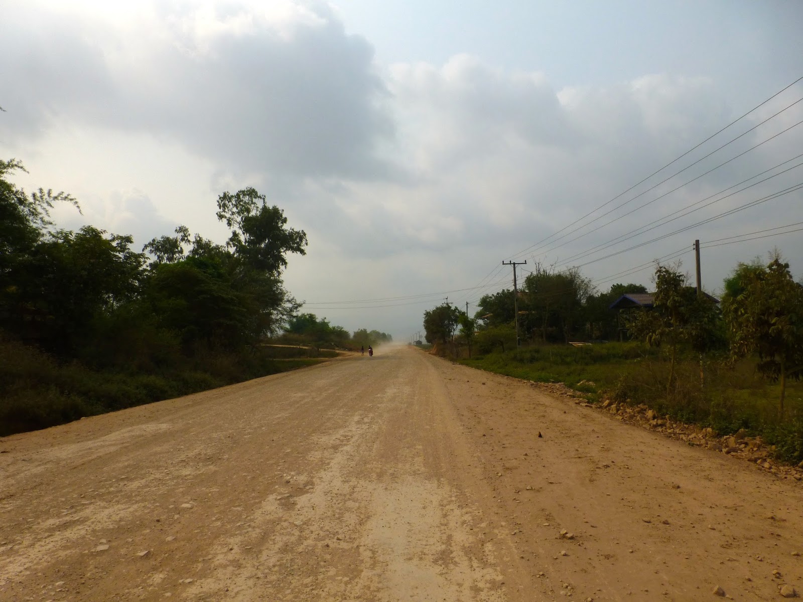
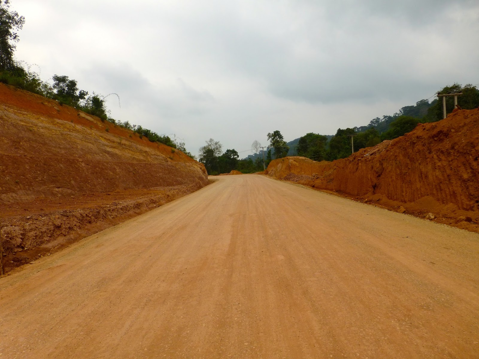
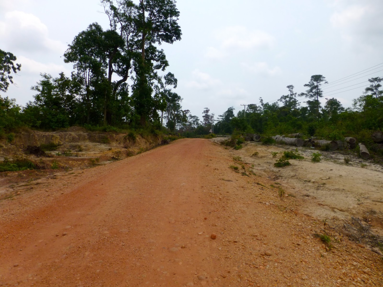
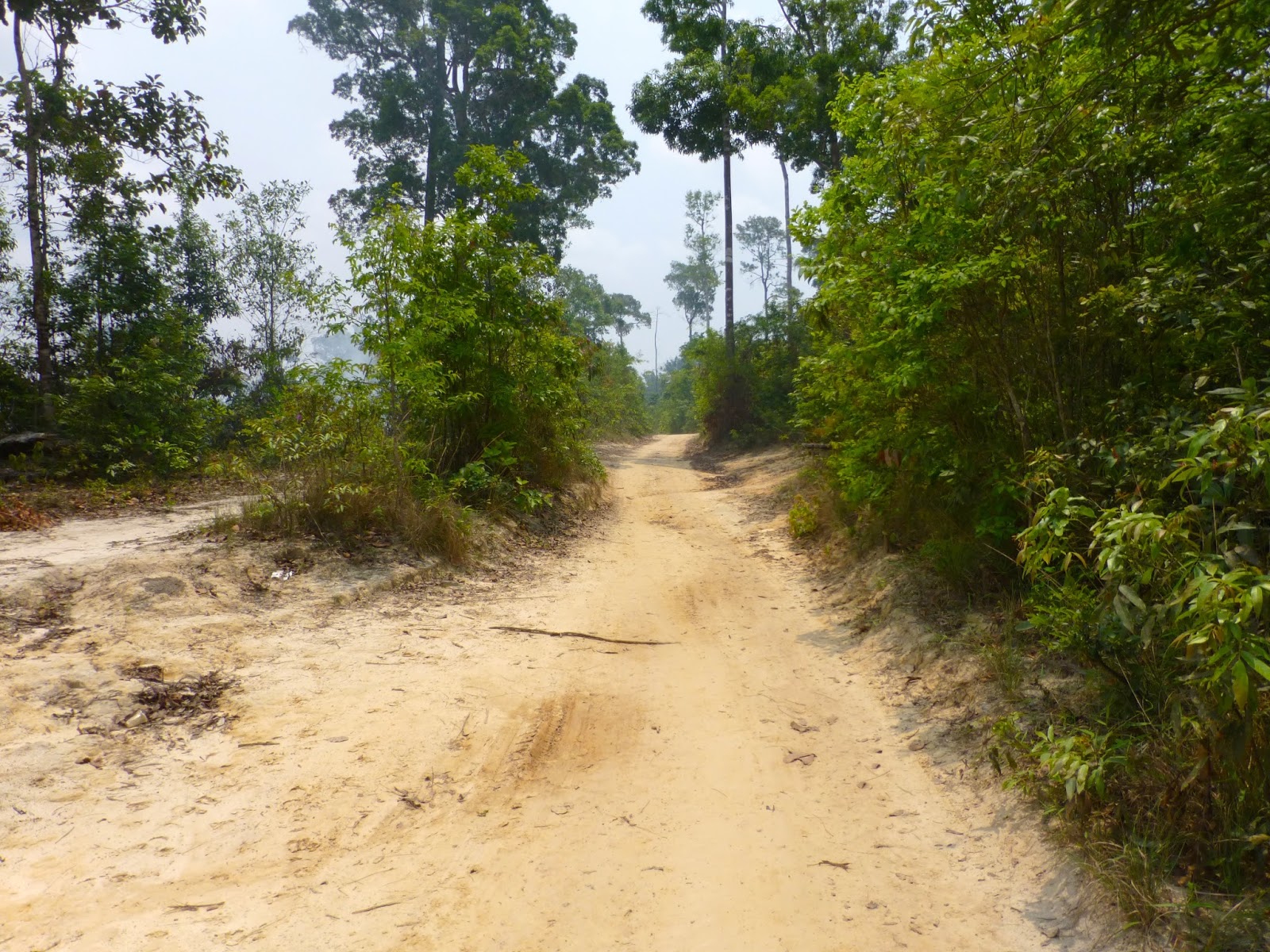
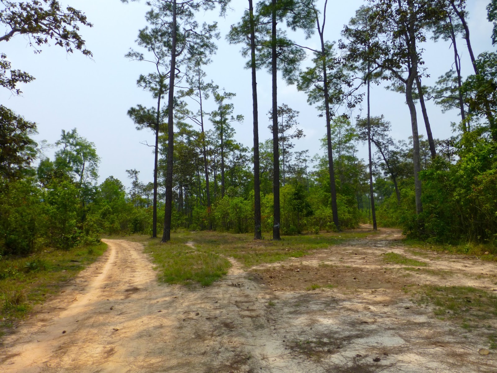
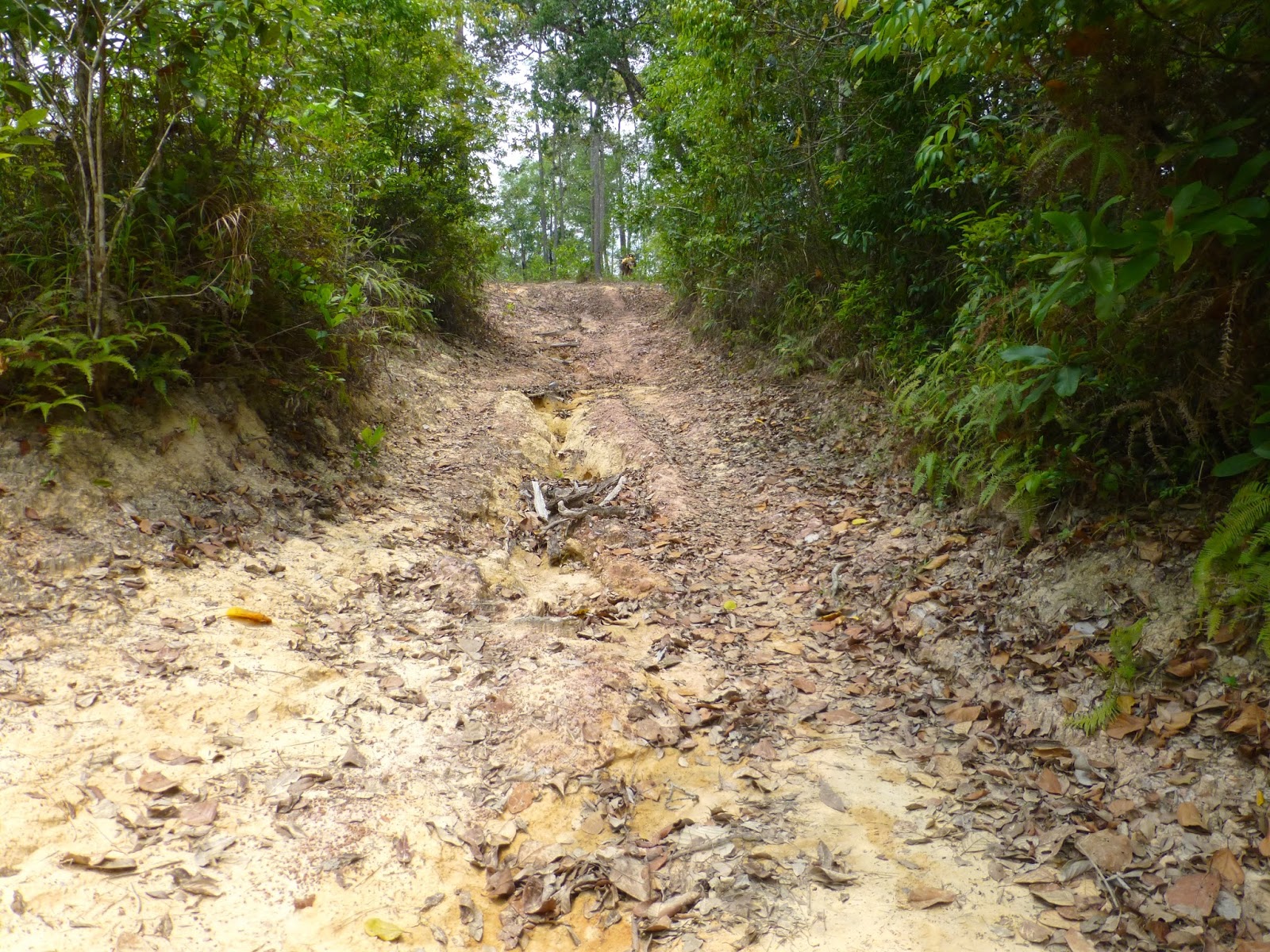
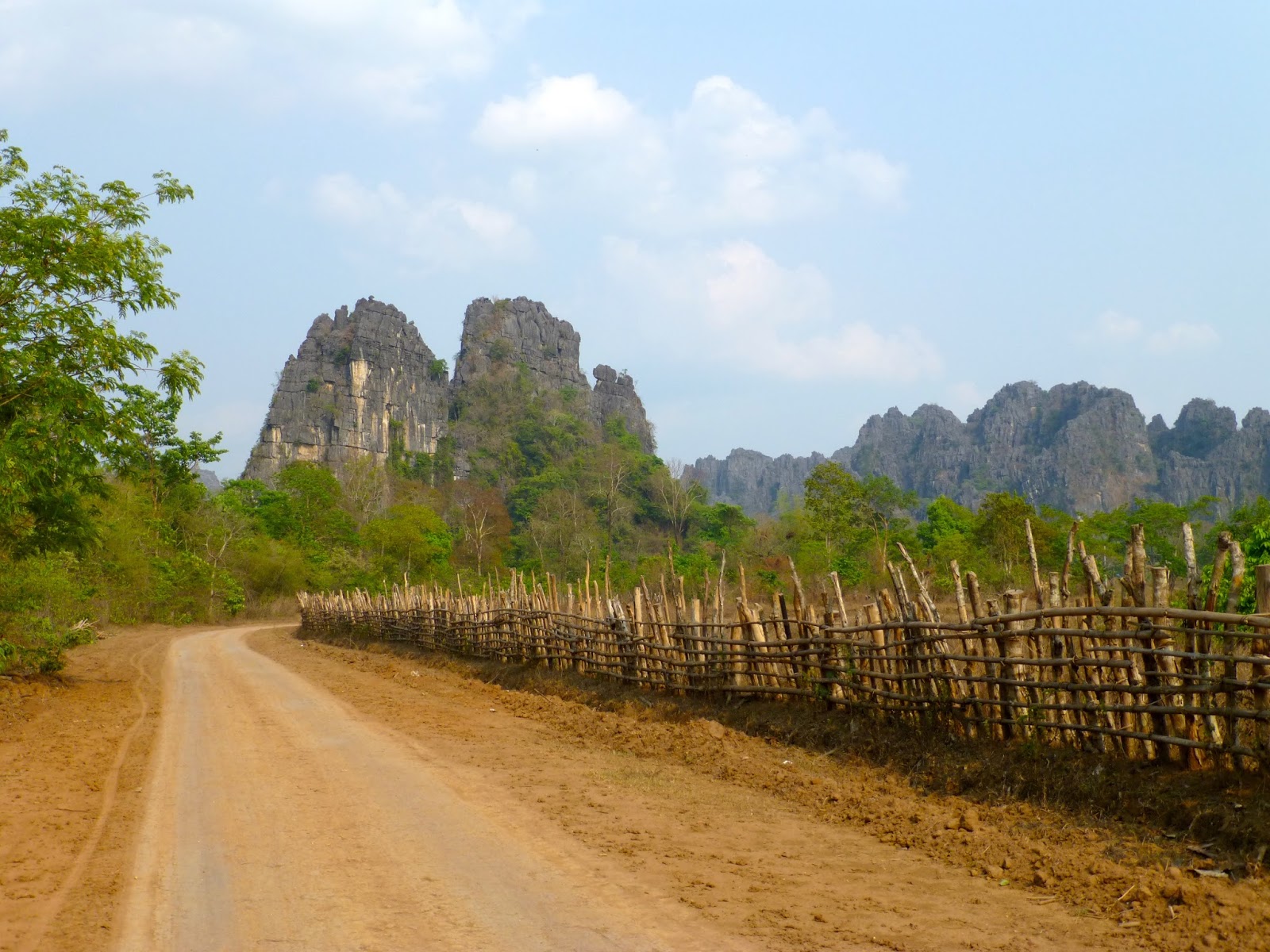
Soon onto the red dirt


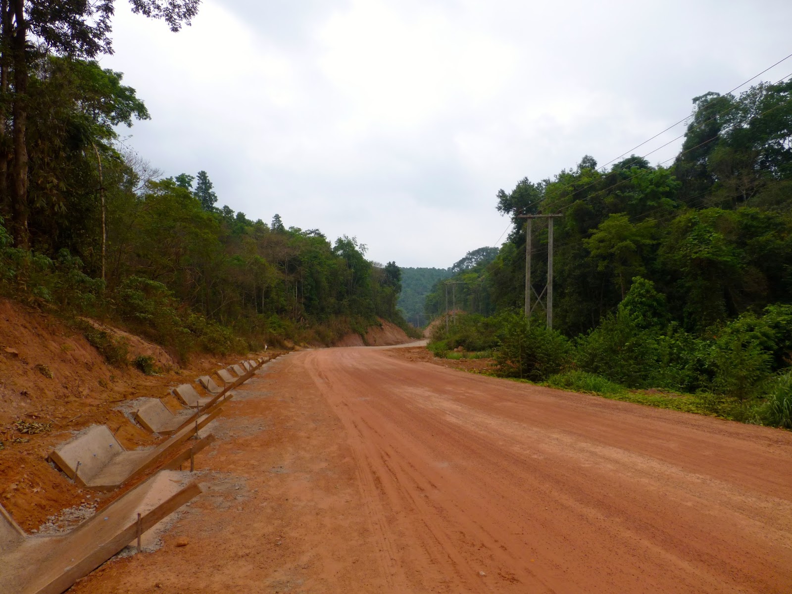
Again huge amount of work going on creating new highways


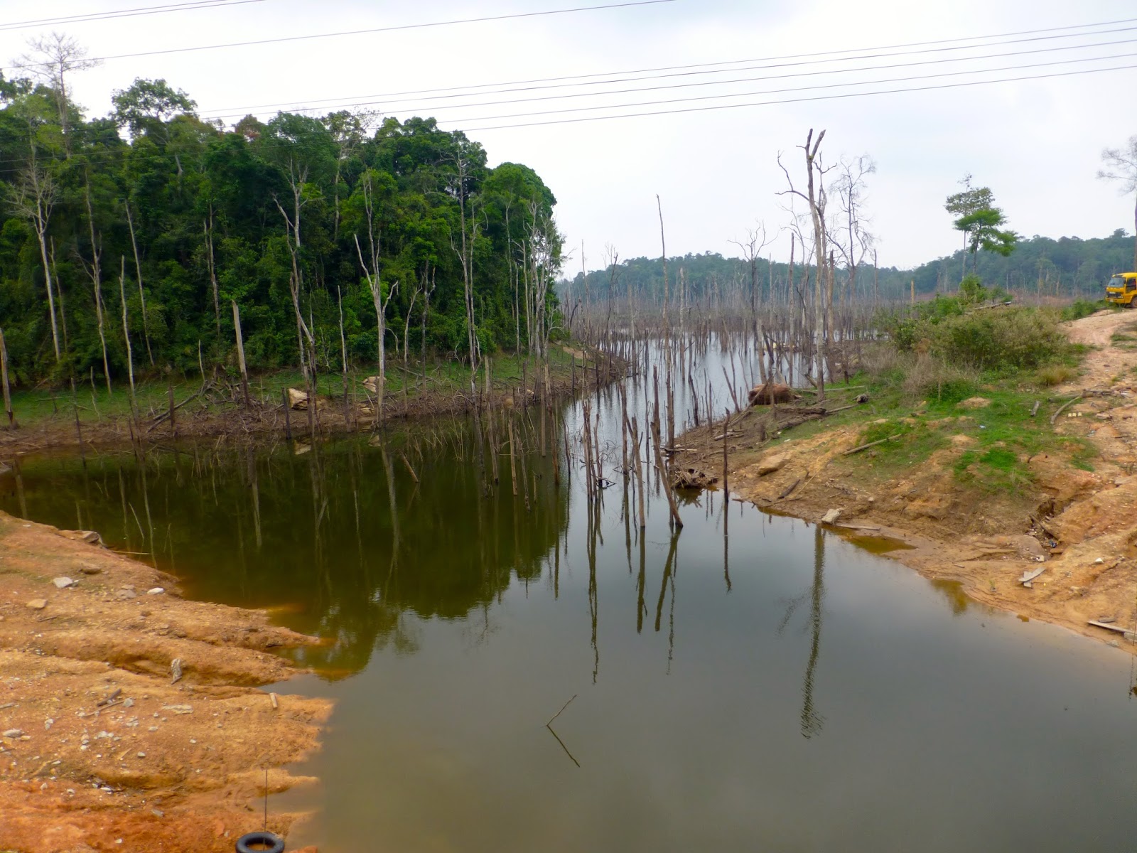
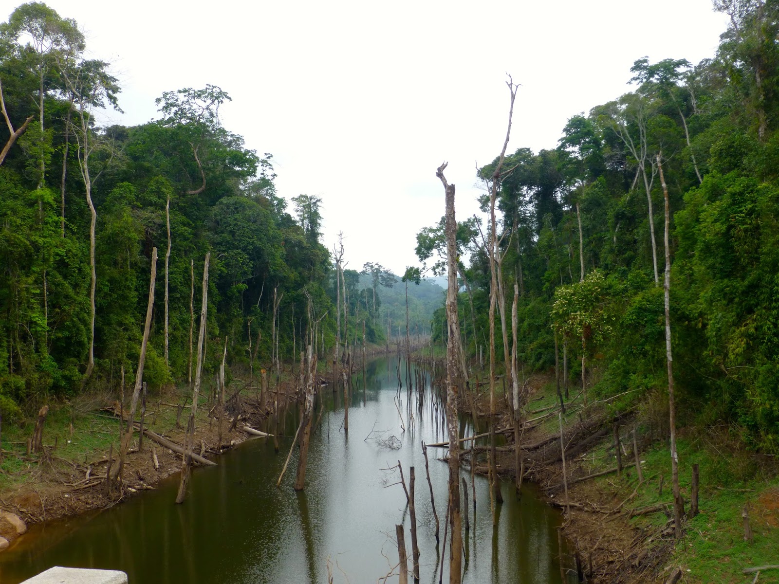
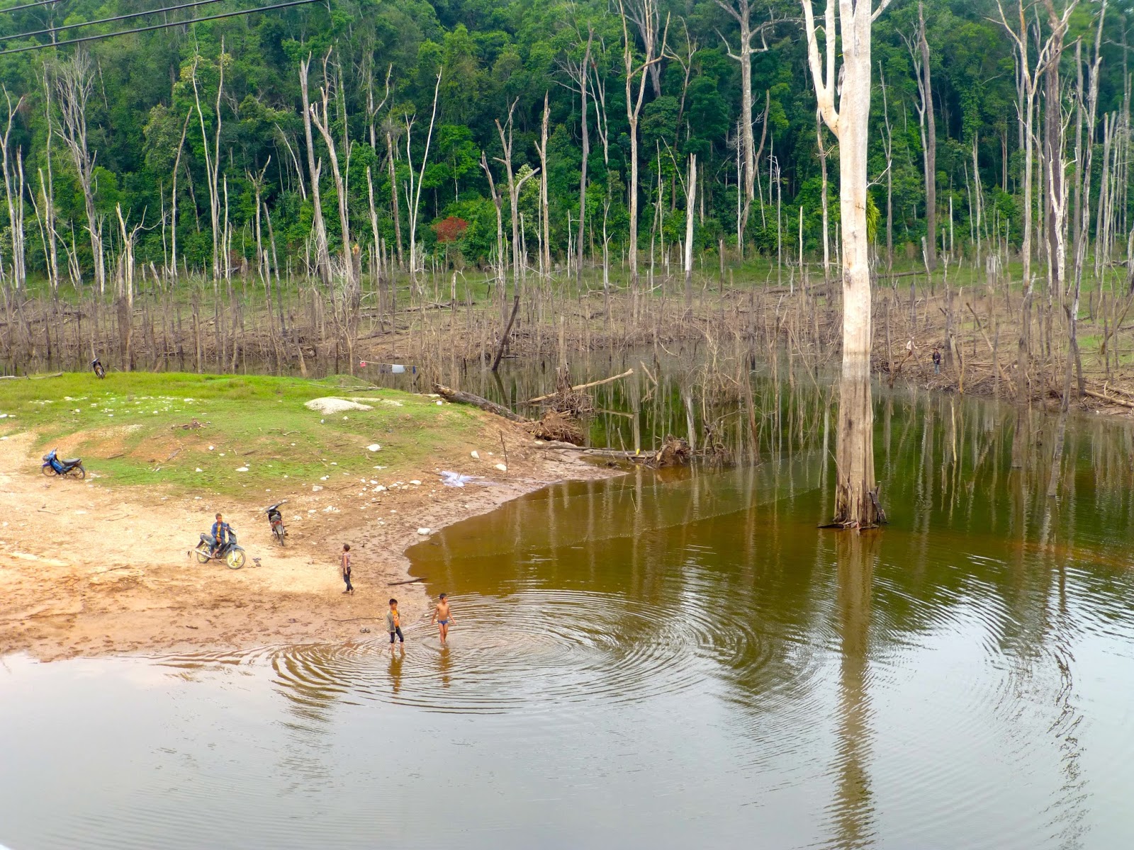
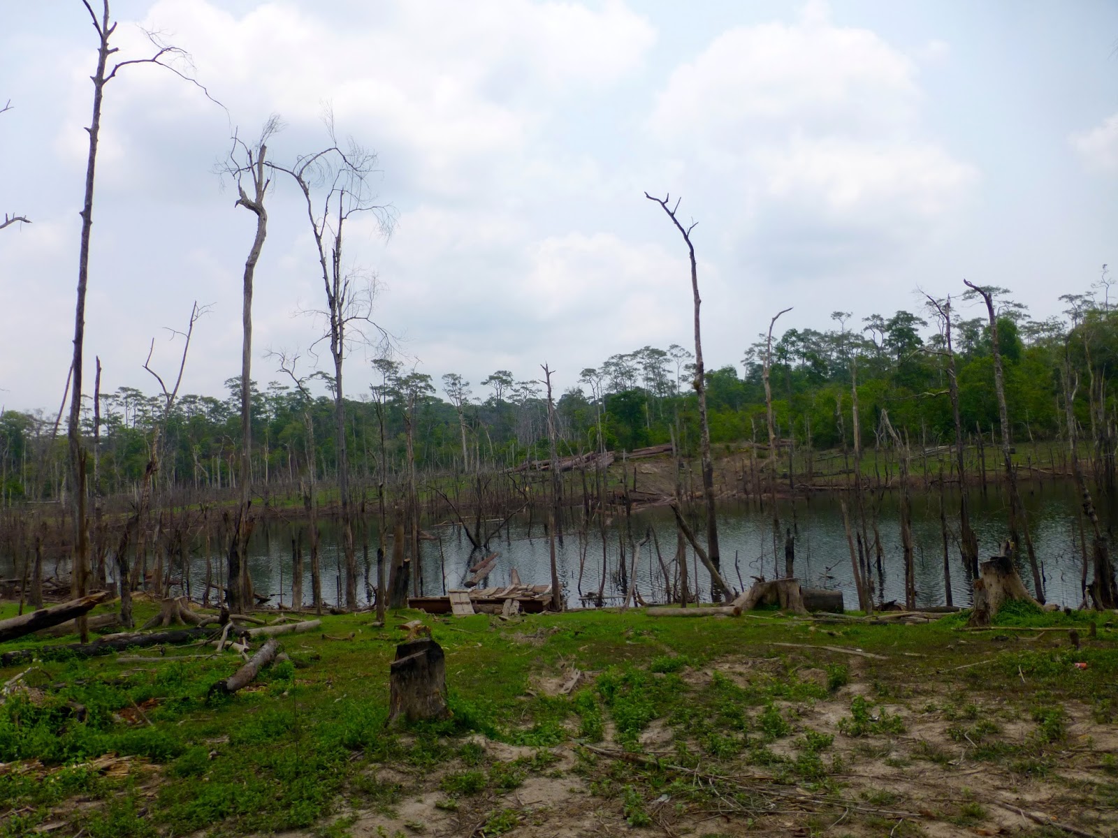
One of the main features of this ride is the flooded forest area's that had an eerie look about them, but a great habitat for Giant Snakeheads methinks

This guy had a bunch of black butterflies following him you can just about make out in the picture

Strange but beautiful


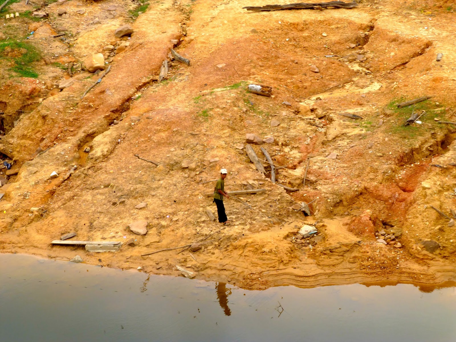
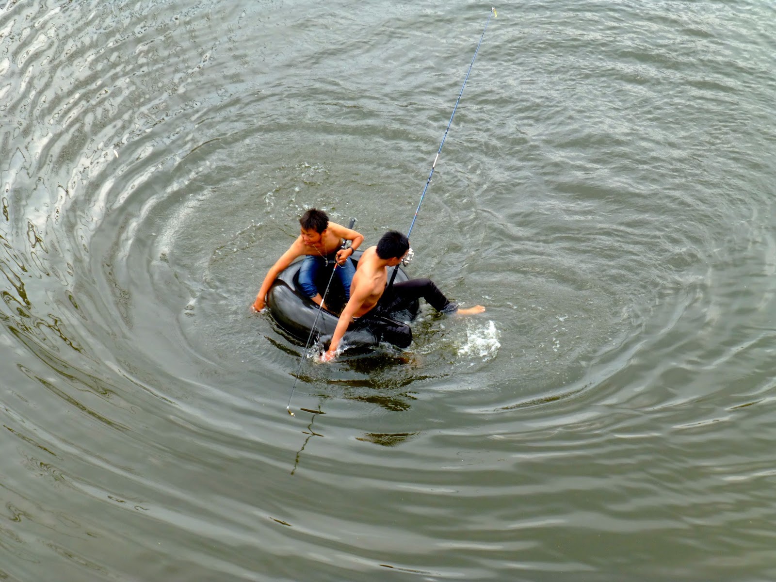
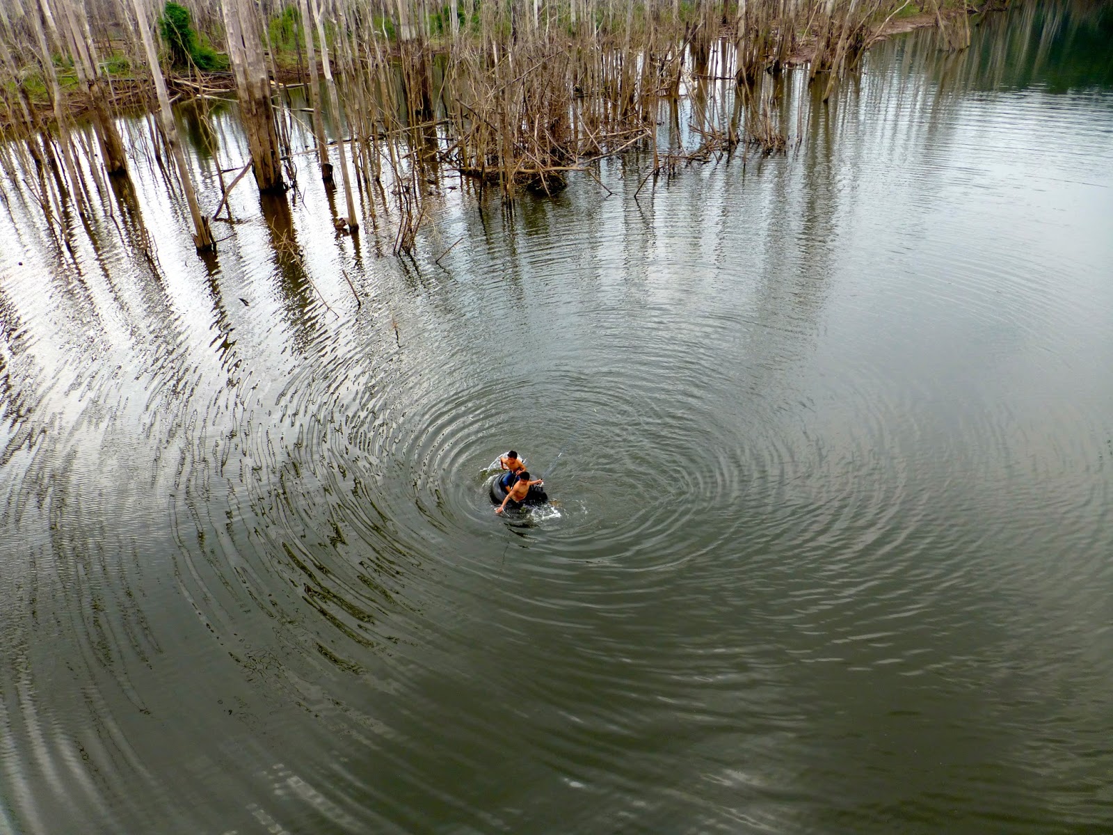
Locals boys fishing


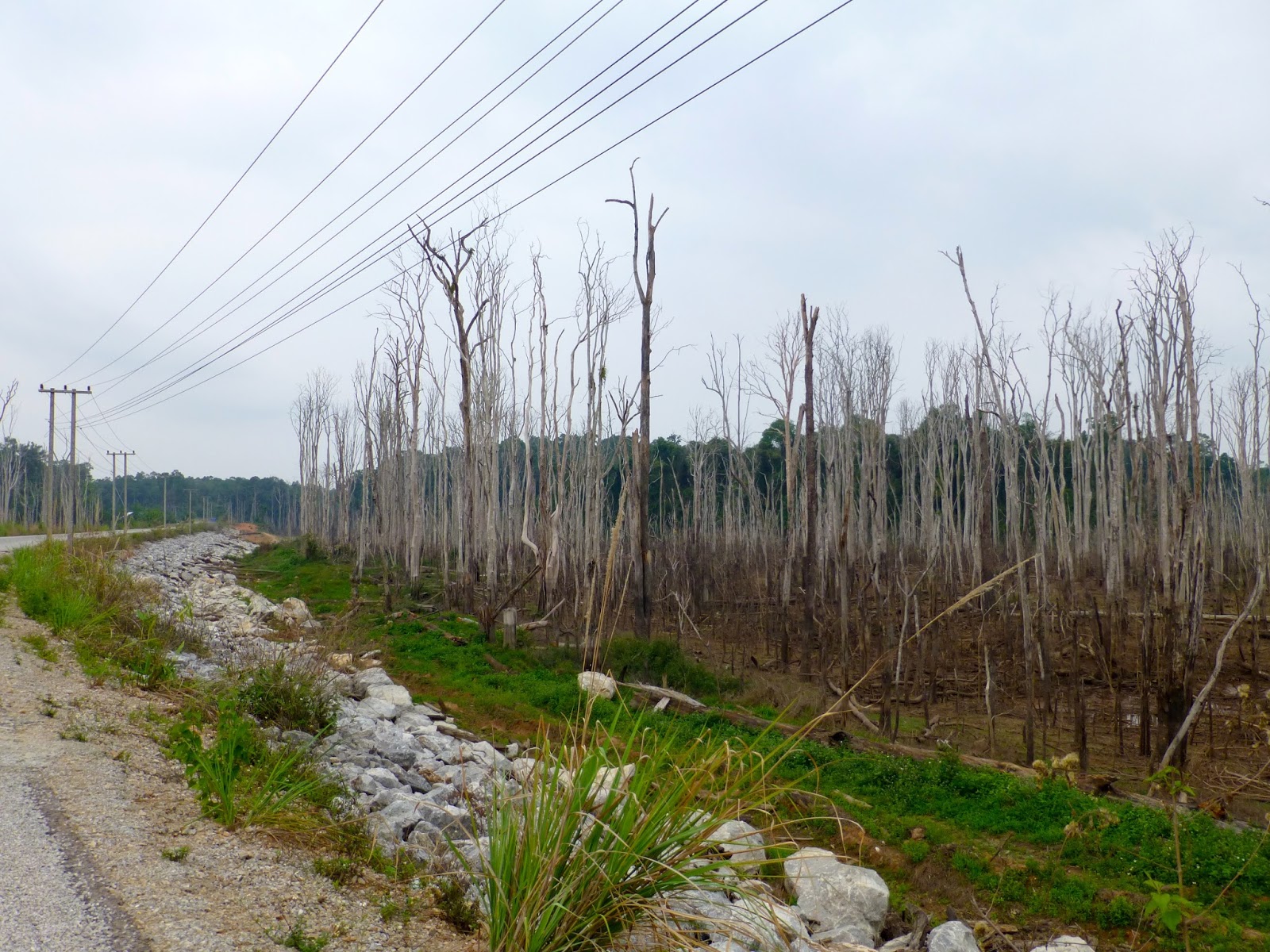
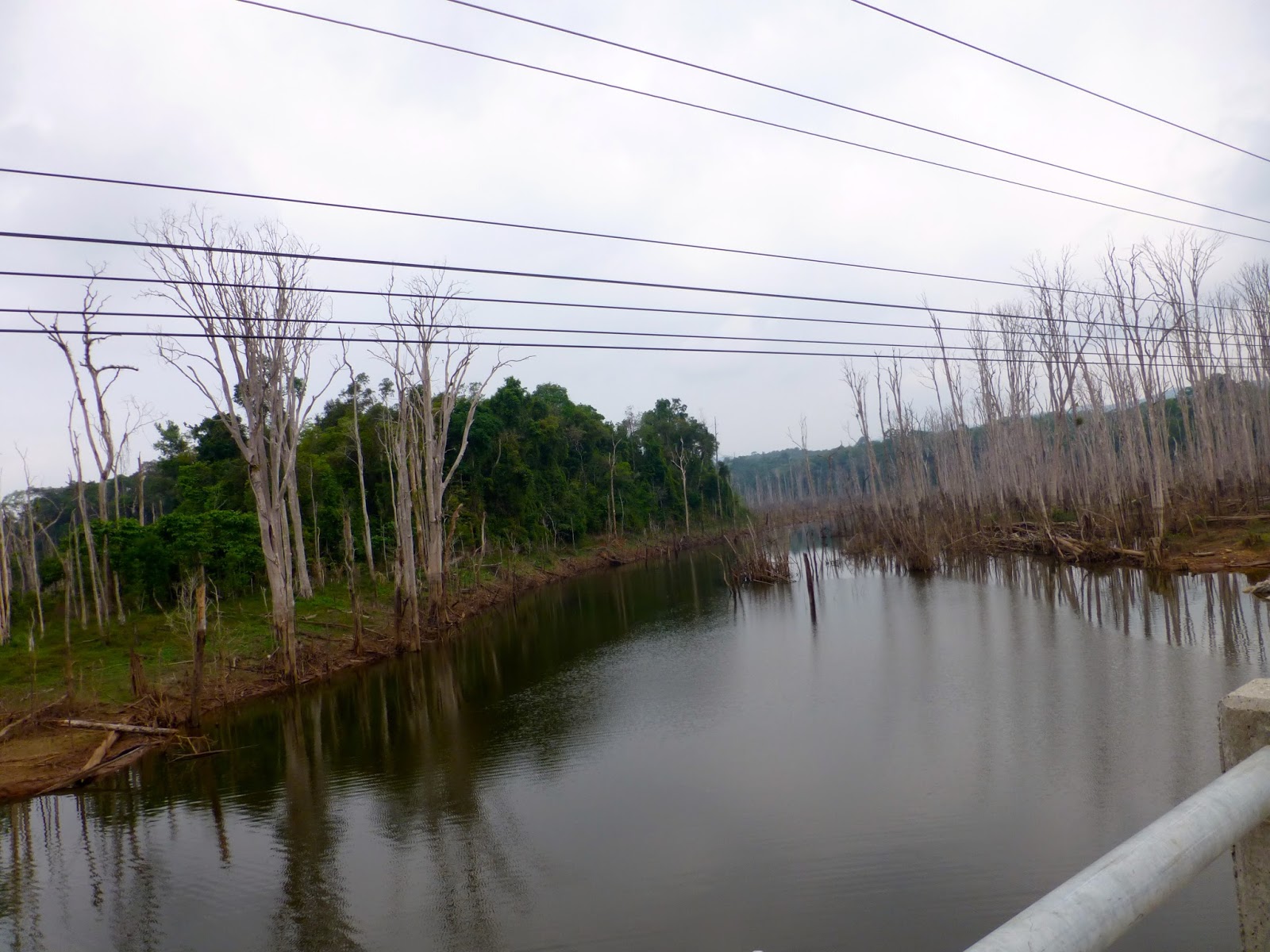
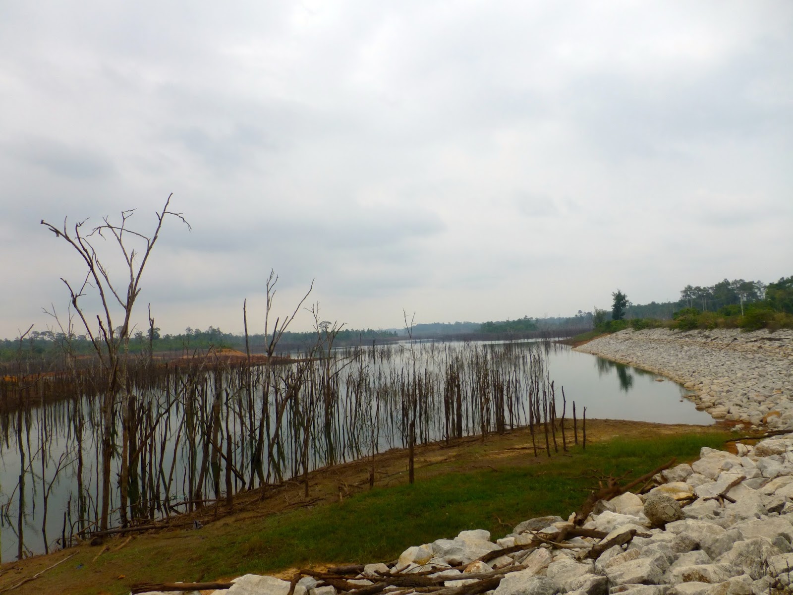
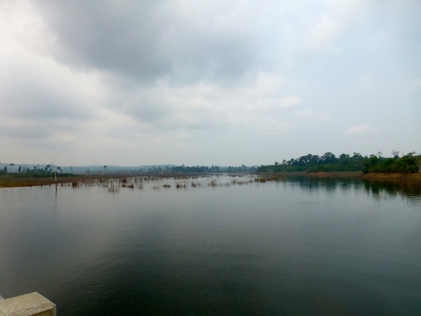
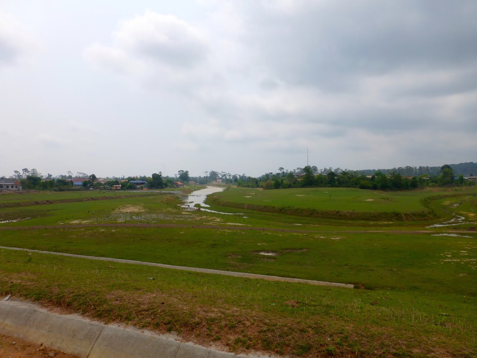
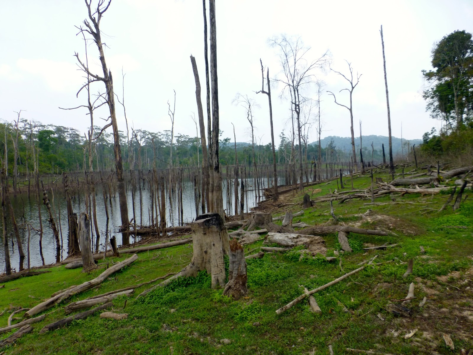
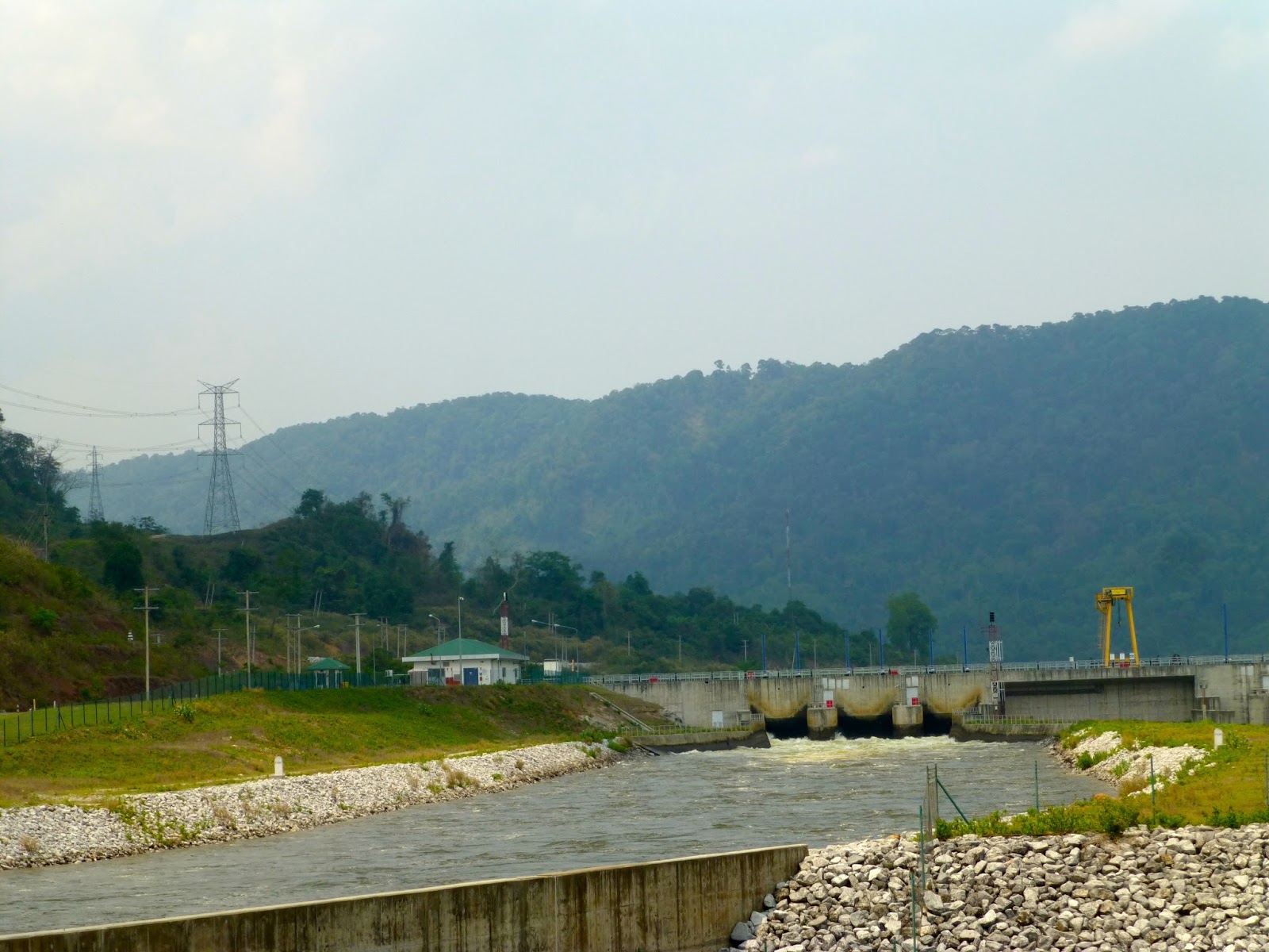
Huge amounts of land flooded as part of the power station dam

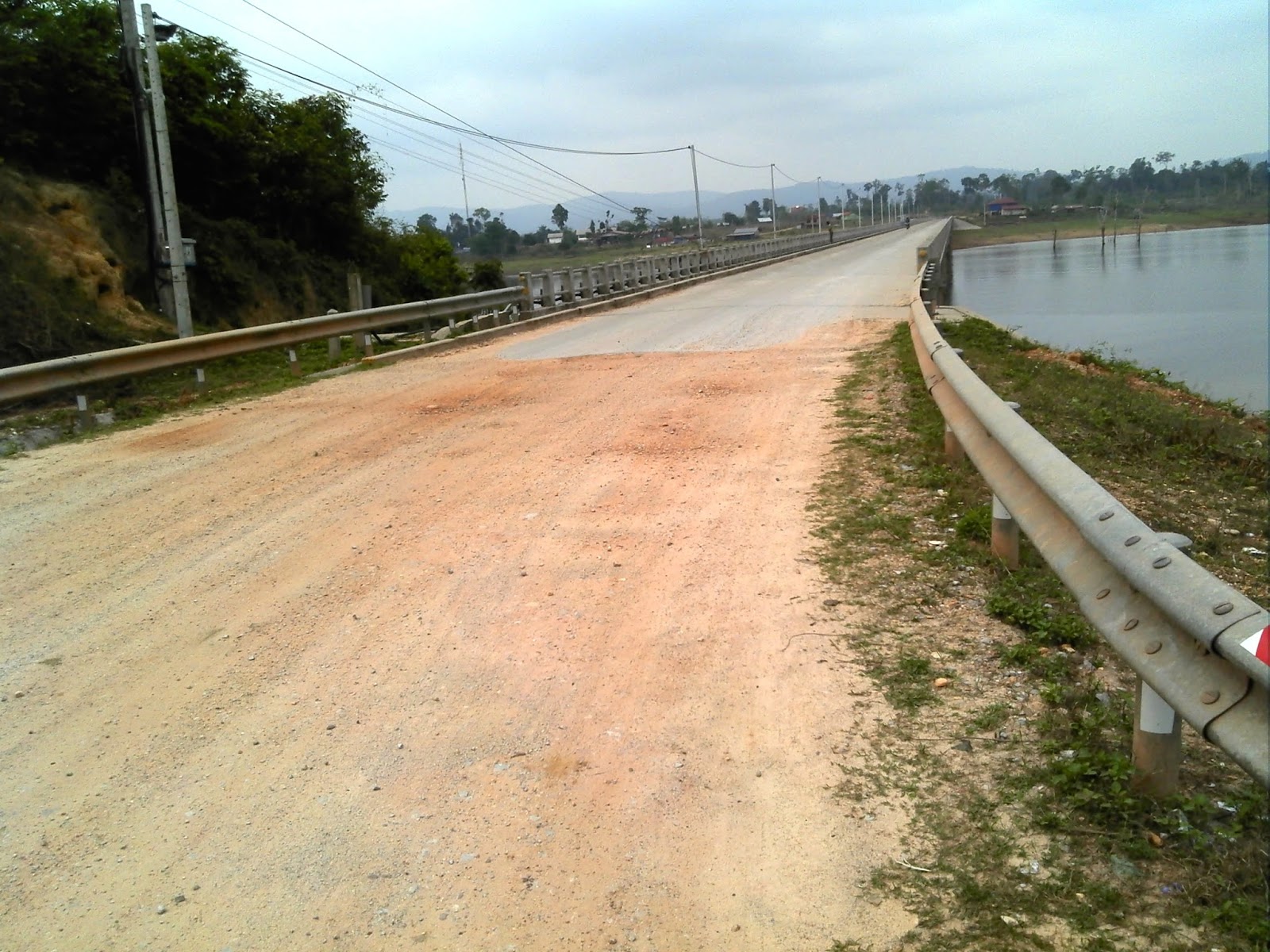
The bridge crossing the controversial Nam Theun Reservoir


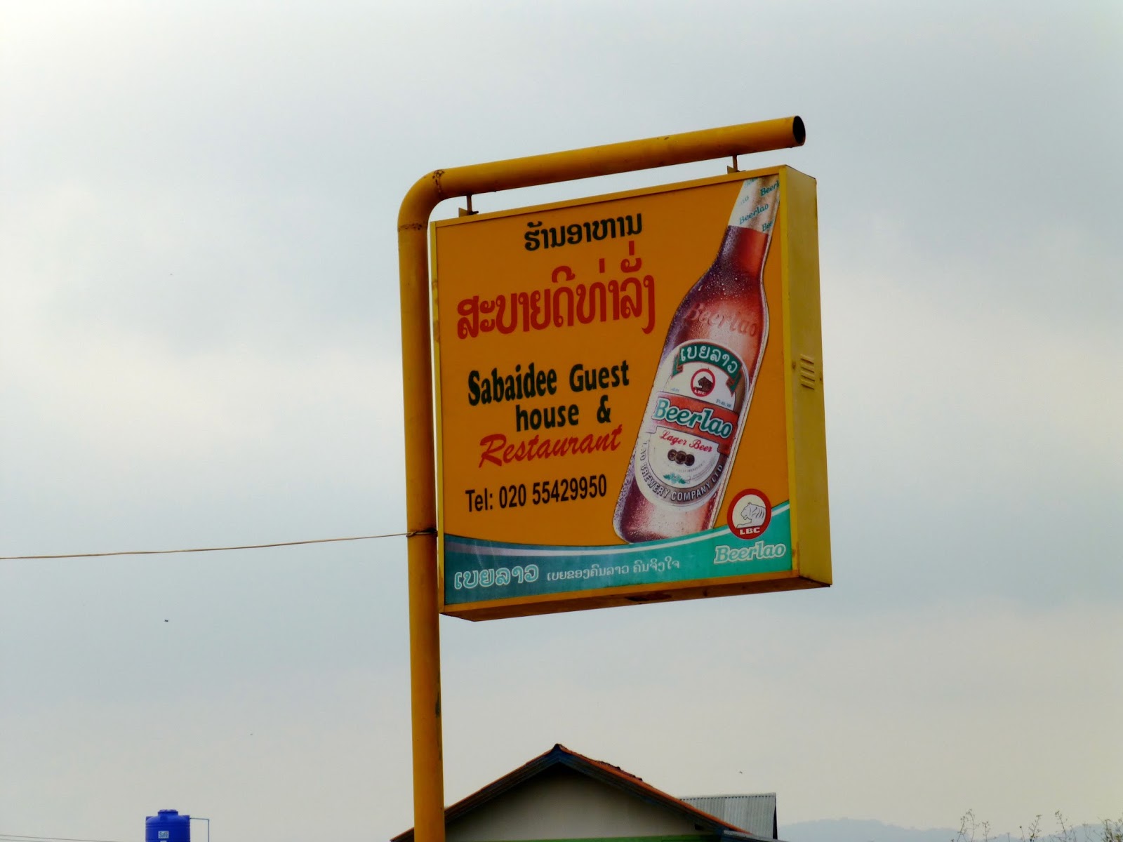
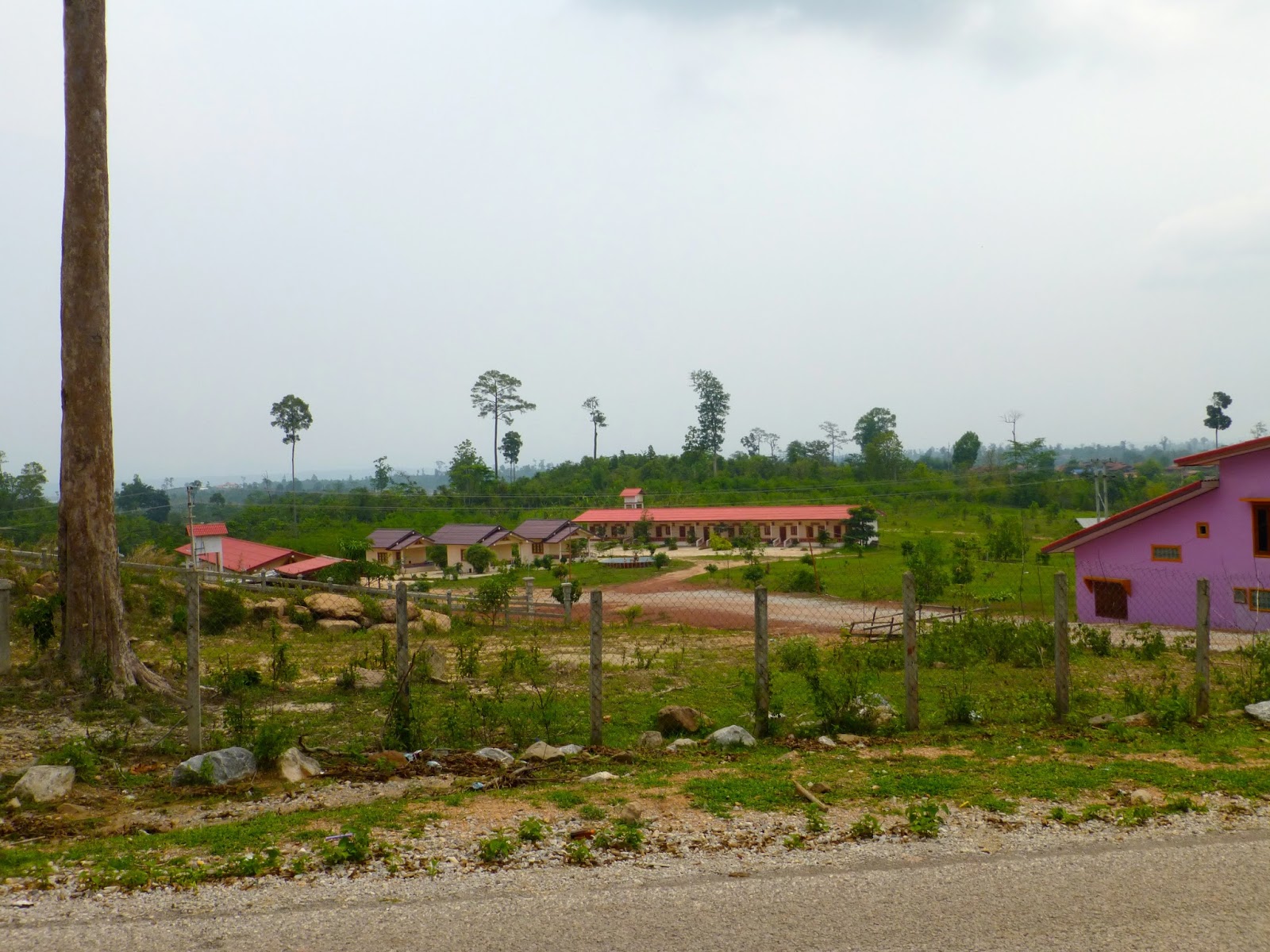
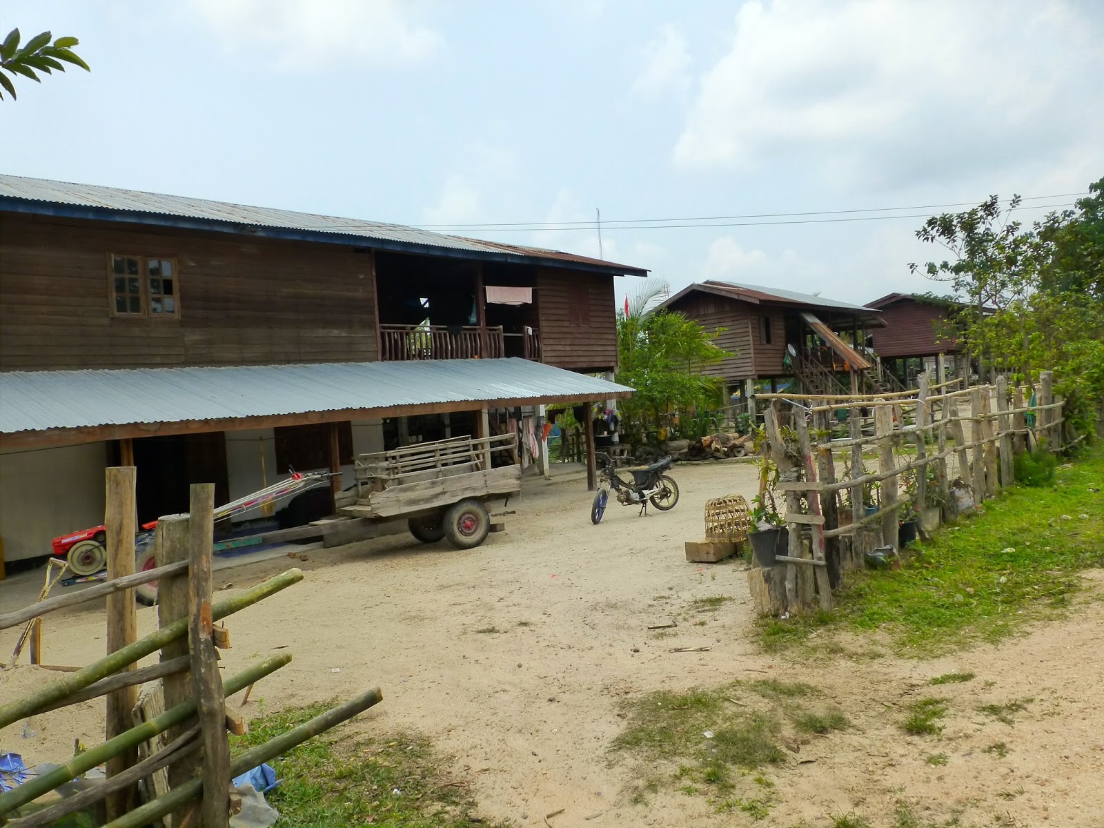
Many Guesthouses in this area


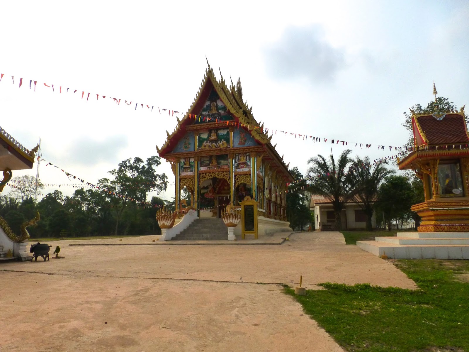
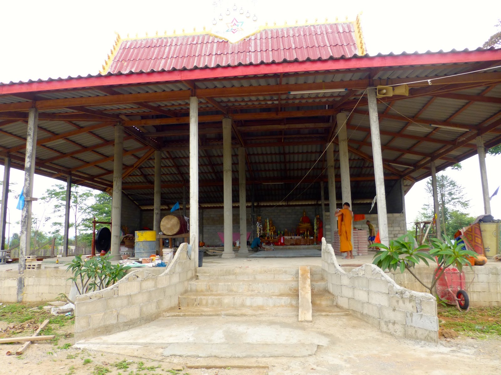
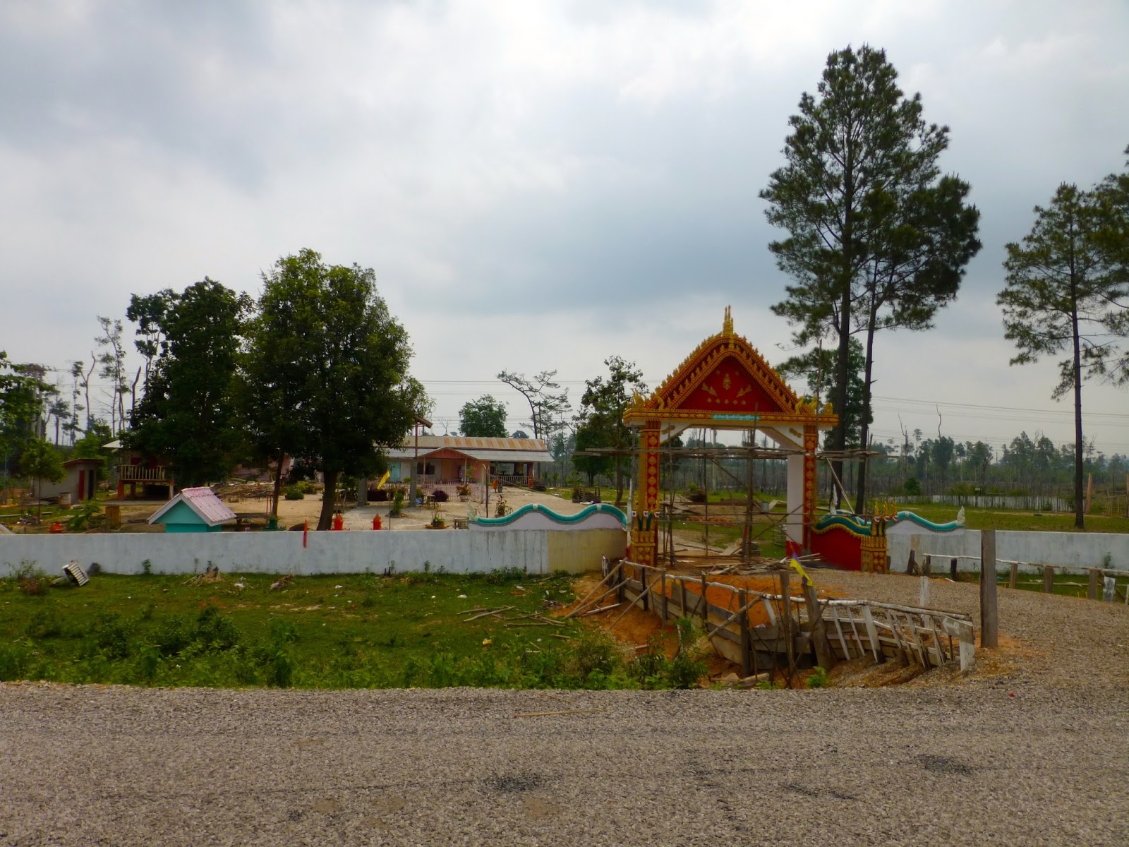
New temple under construction


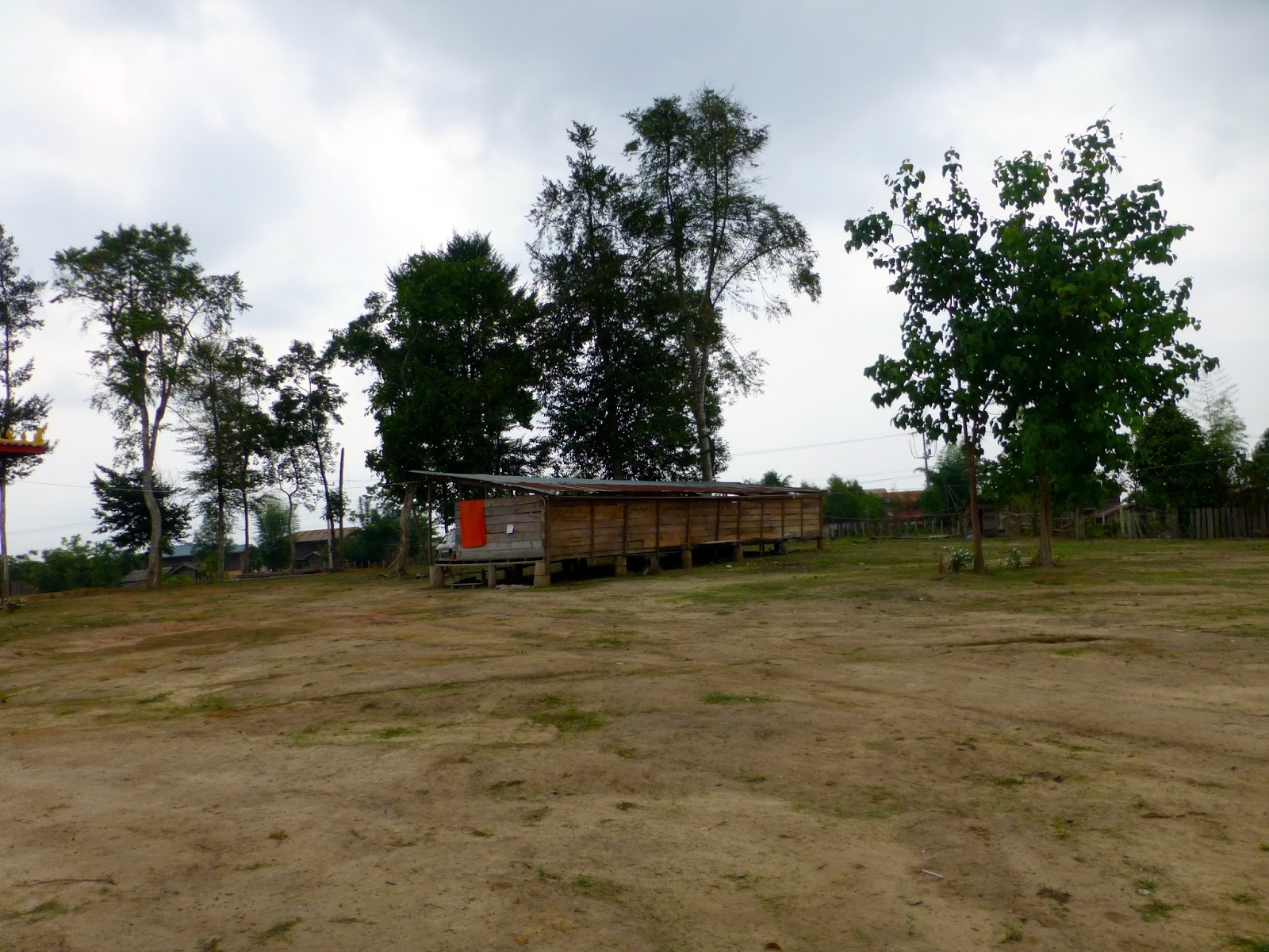
monks living accommodation

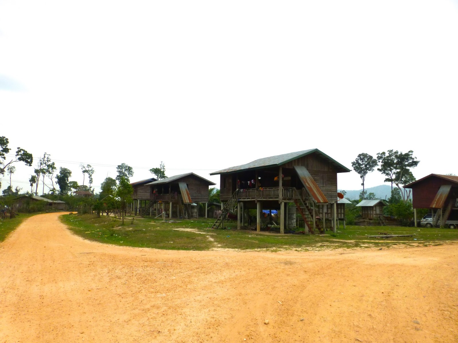
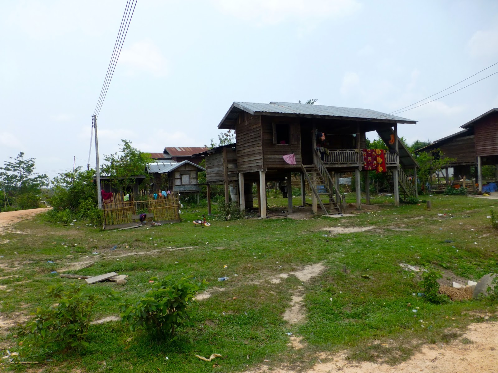
Lot's of small communities along the way, but kept me thinking what the hell do these people do to sustain themselves with almost no farming land still above water


So many small short time looking hotels along the route, but looked a bit upmarket for truckers


Would like to take this picture again in the rainy season

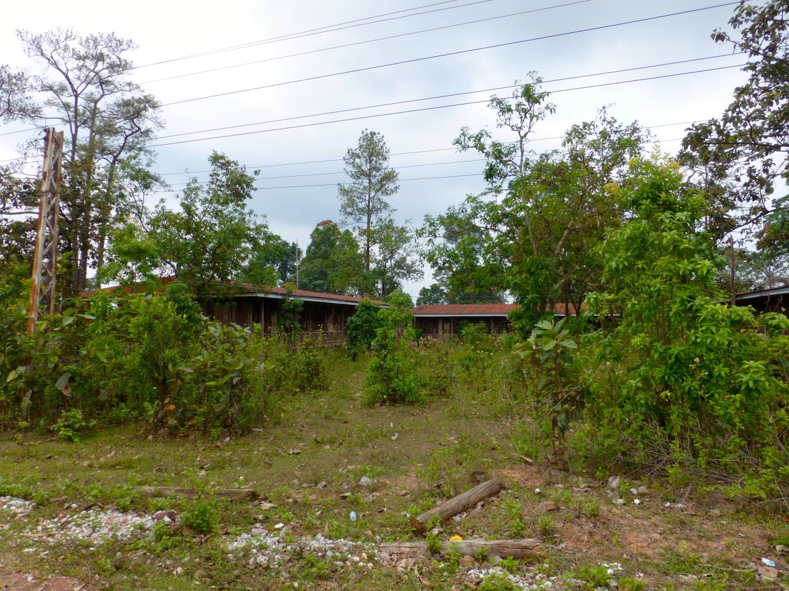
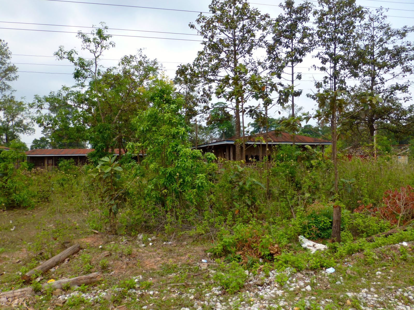
Disused school or workers accommodation


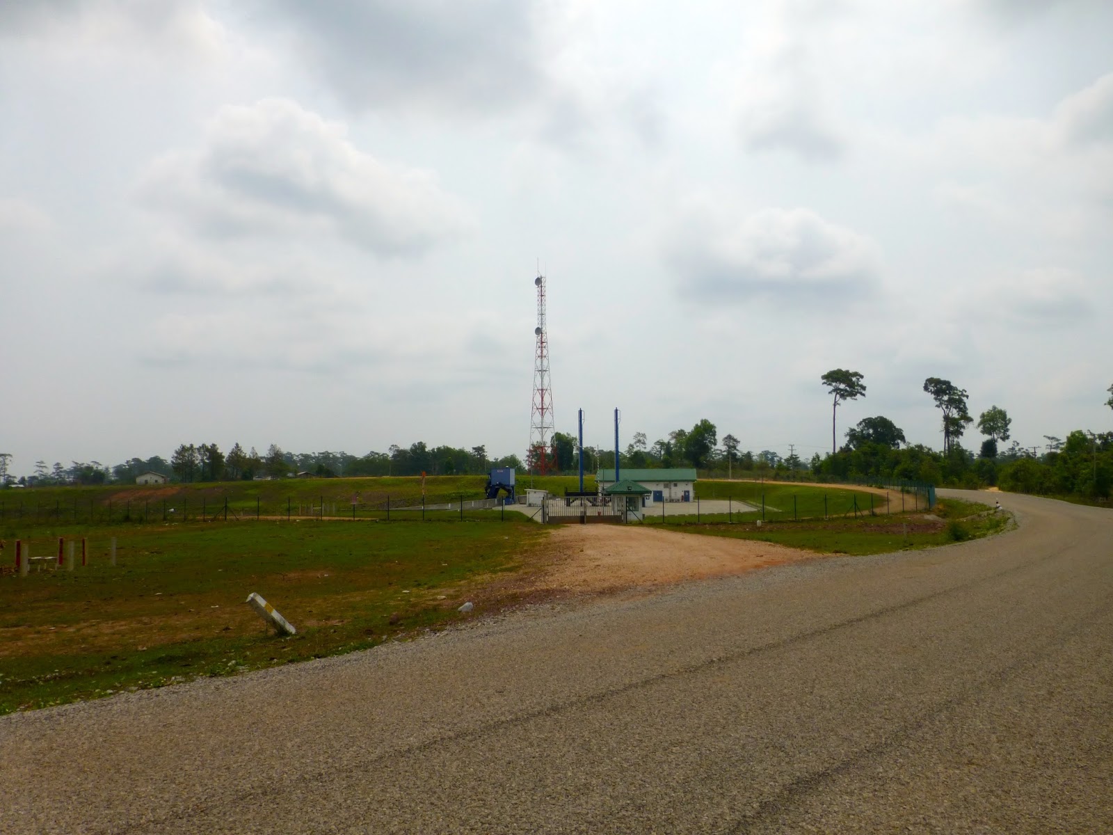
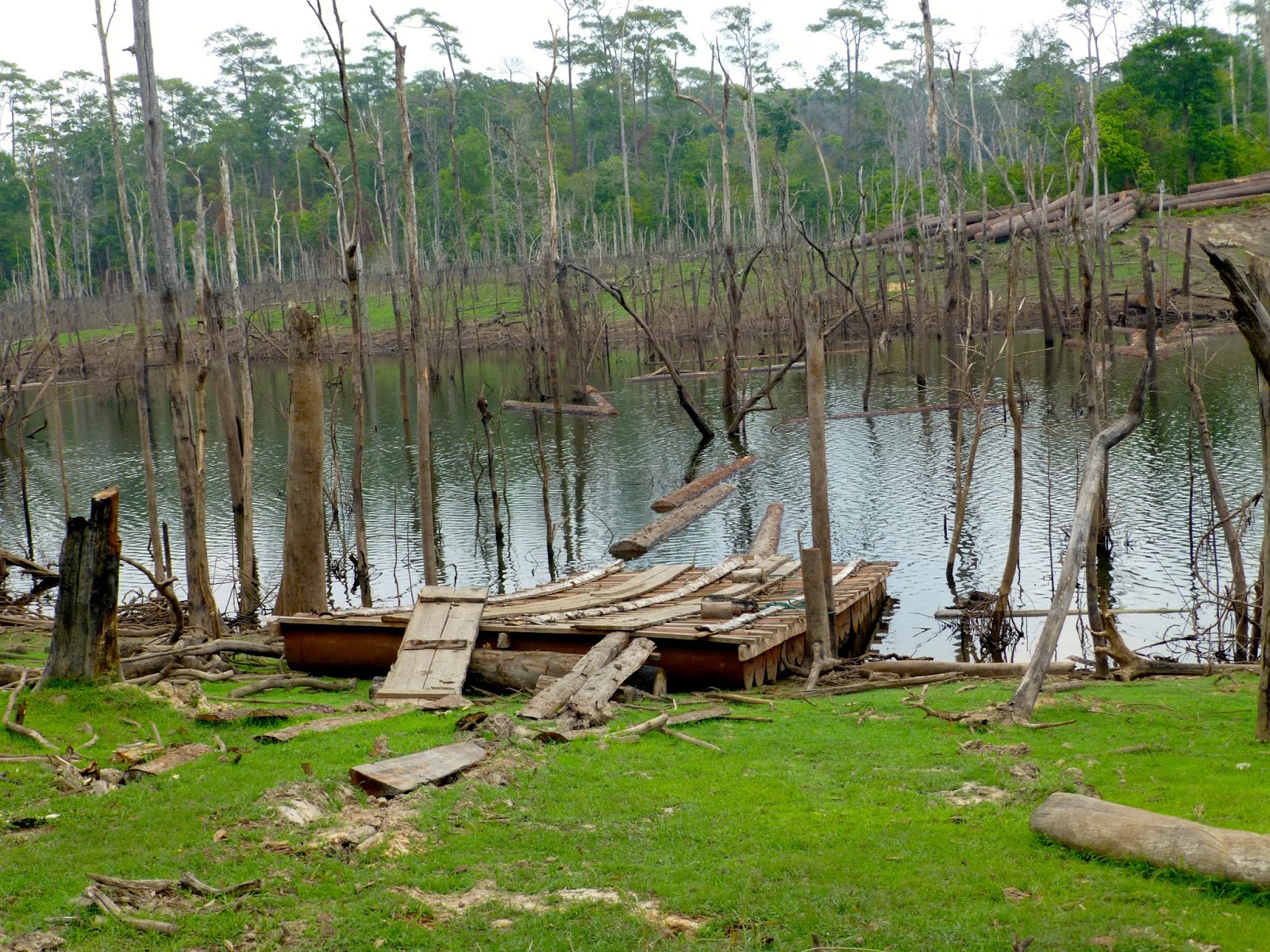
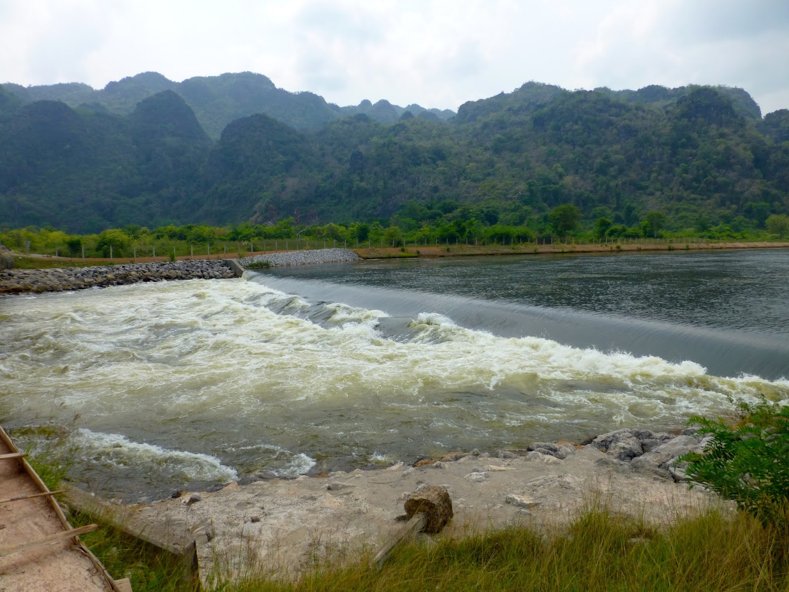
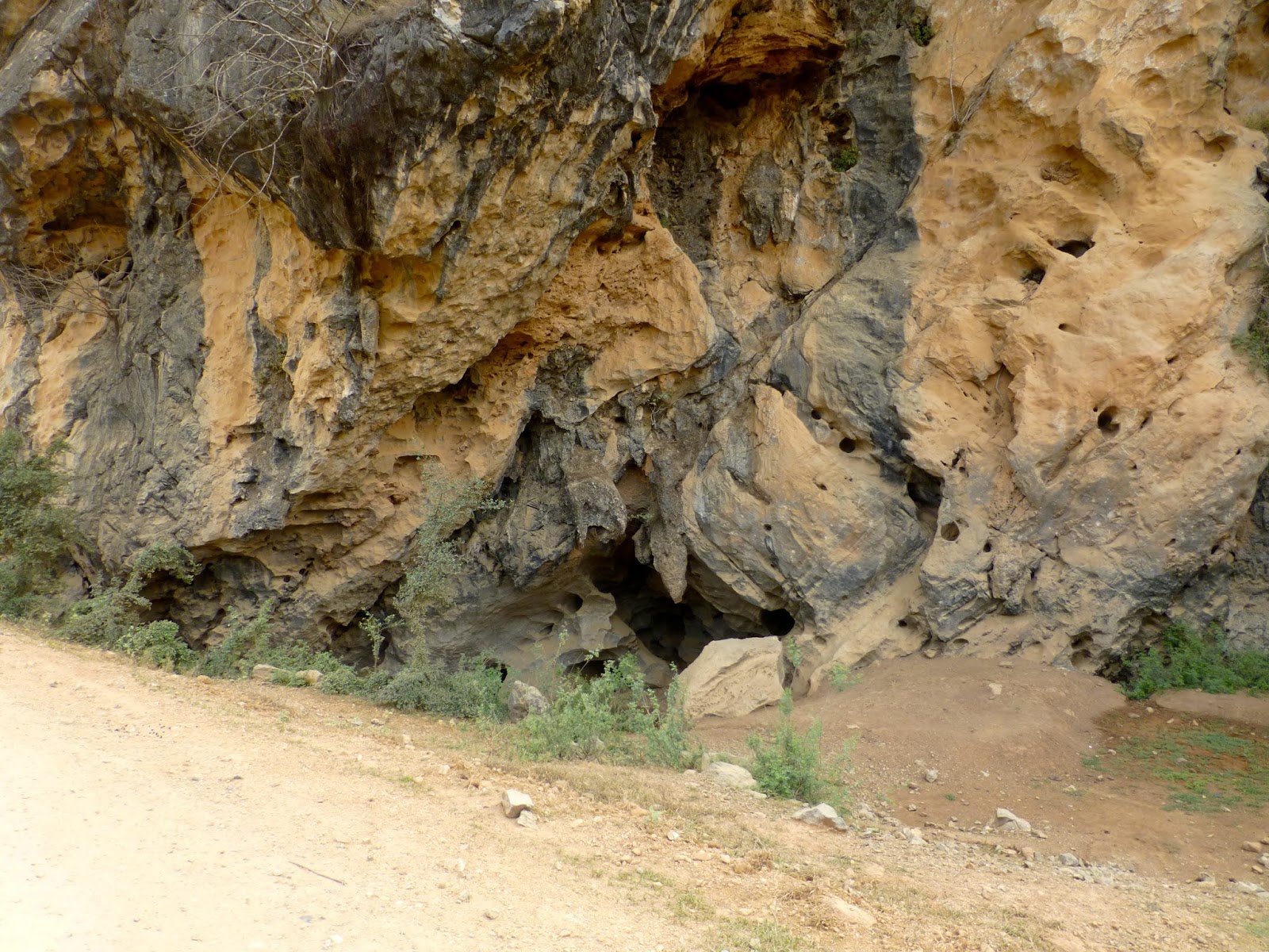
Not sure of the function of this but part of the waterway control i think.

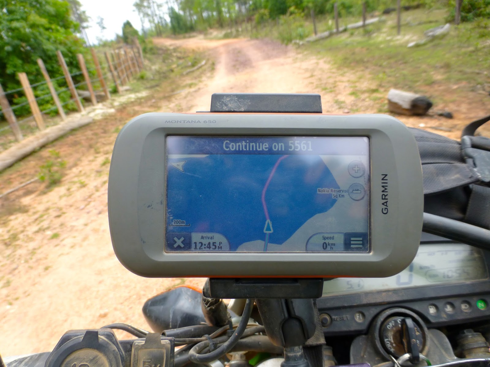
Now this is when things started to get interesting, i had laid a route across the reservoir and things started to look promising


Although the GPS was having a hard time of it but still on terra-firma

But not for long, closer inspection revealed the end of this attempt


So back i went to the paved road then started down the finger along the reservoir

Pretty nice surface so my hopes are up


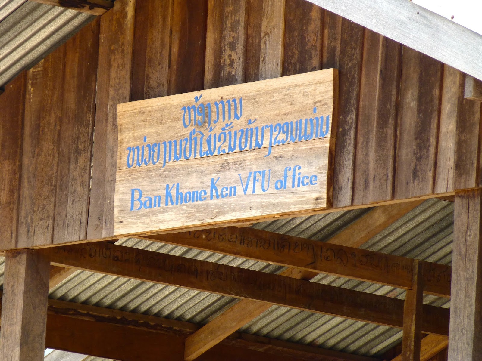
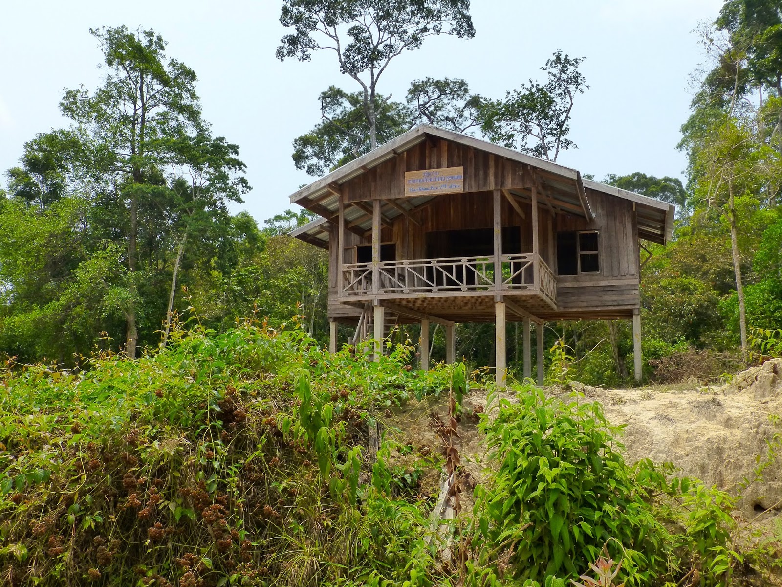
Abandoned office, i presume for the logging company


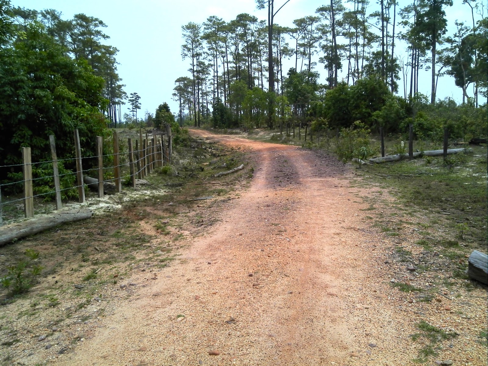
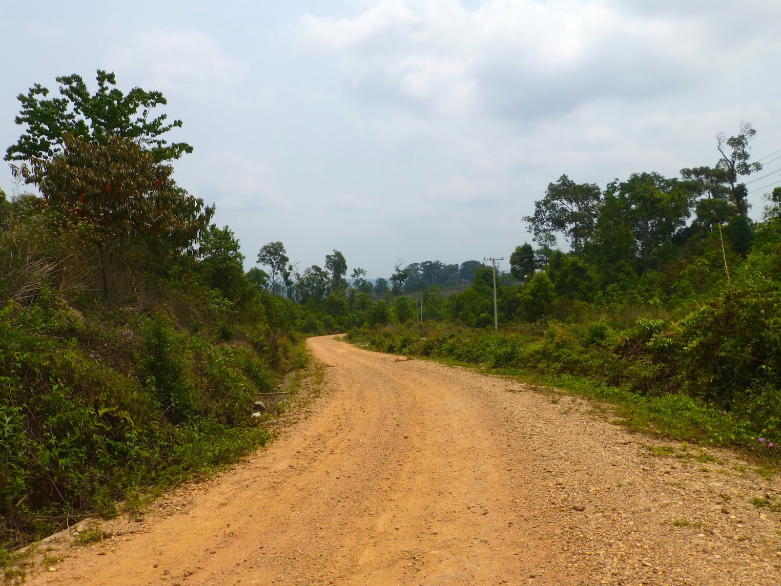
Still nice graded road


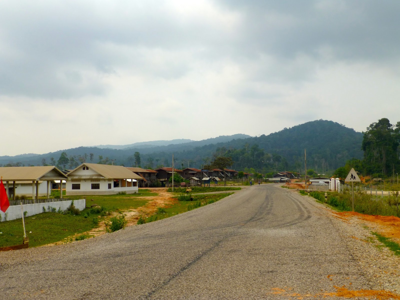
Reached the village of Ban Don, in it's time this place must have been buzzing, but now the logging is finished it is slowly turning to a ghost town although i could hear a big Songkran party going on somewhere

Unusual to see a covered stairway like this


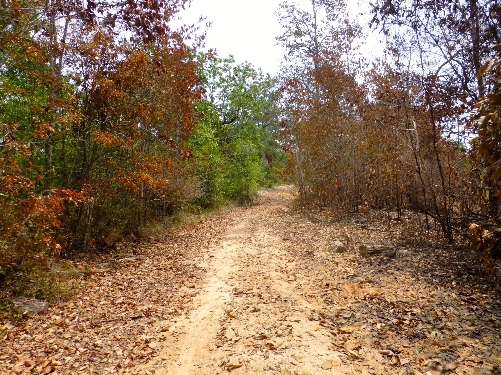
Once past the village it was old logging trails and the GPS was blank

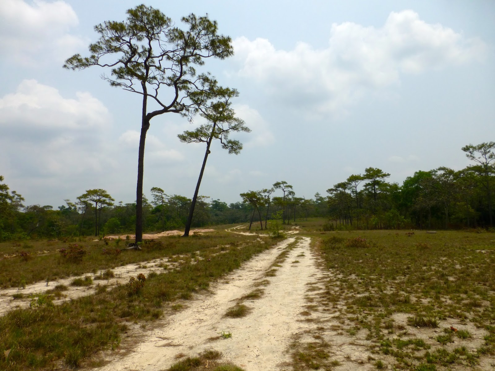
These tree's had painted arrows pointing to the right but the left trail was more used, so left it was

Old workers camp

Not so well used

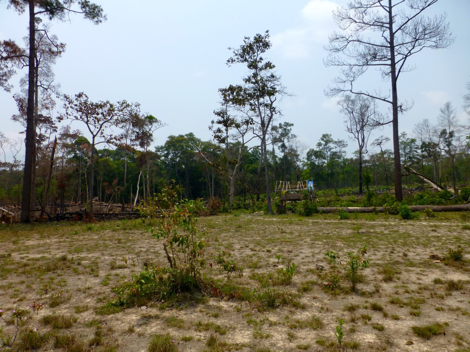
Then opened to this

Dead end but almost reached the water crossing but the track had been deliberately blocked by trees


Turned back a way and tried another trail, but brought me to this

Logging barge crossing, flicked over to Don's map and could see i was on the right path but no way across


No other way to be seen

So it was a another turn around
Stopped at the Fuel drum back in the village of Ban Don and asked if their was another trail pointing to the view on my GPS. Nothing doing so plan B


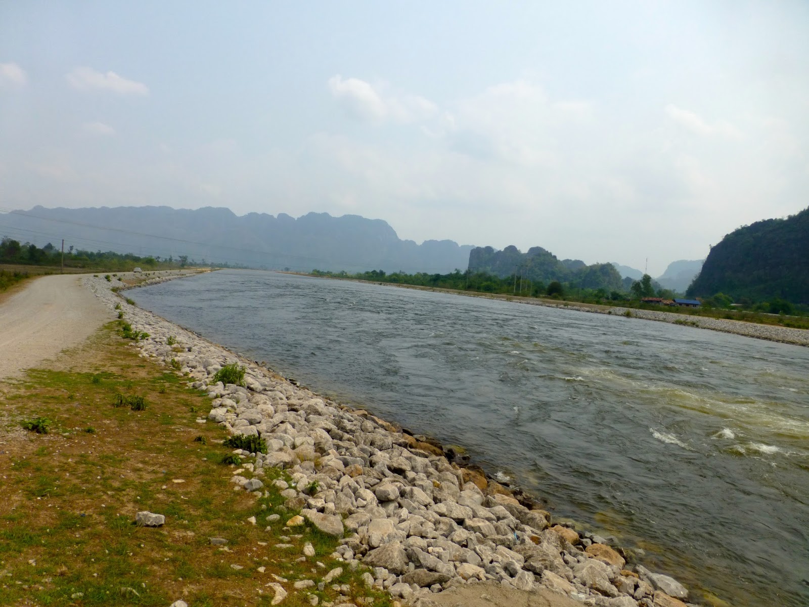
Got back to the main road, and a nice concrete paved section down to the controversial Nam Theun Hydrostation


Moving quickly on the nice surface i was making up time after my earlier efforts


This is where i was intending to pop out from the logging trail, so near yet so far


Anyway pushing on to the nice camp site !

The camp site is actually on part of the HCM Trail so i was looking forward to spending the night along this legendary roadway
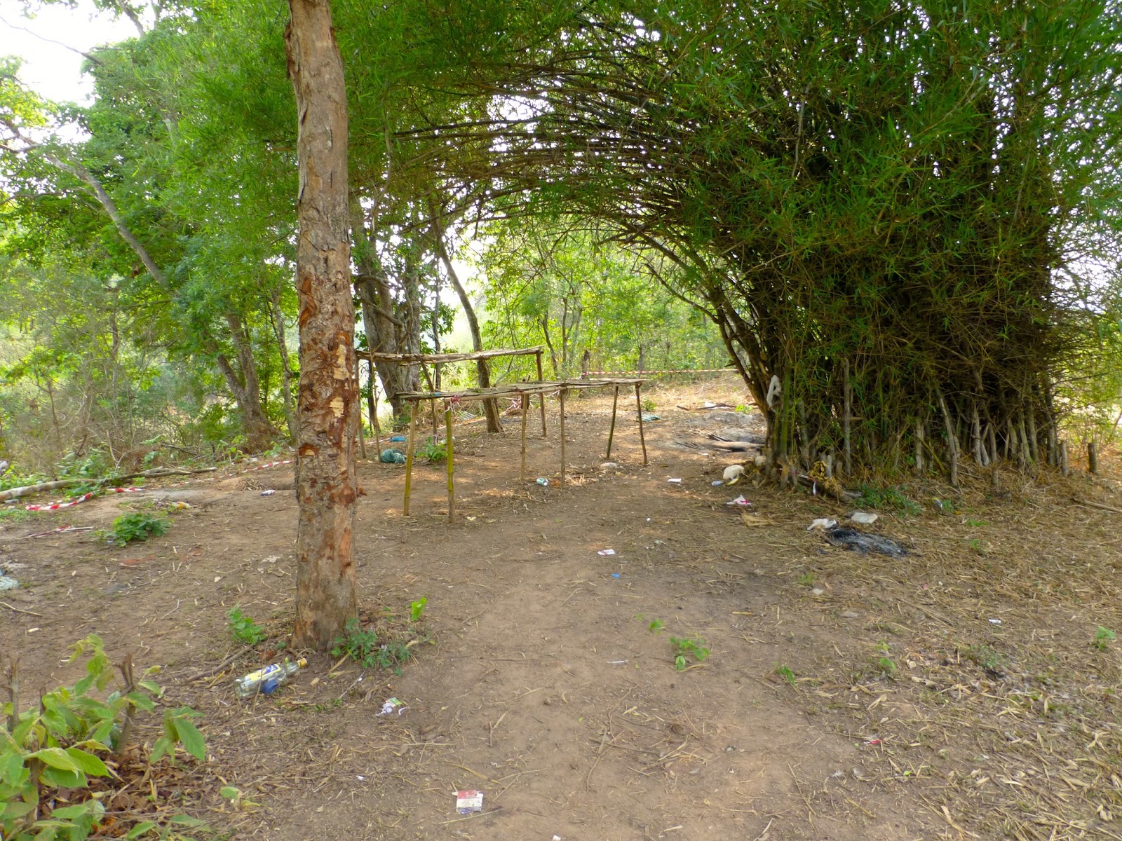
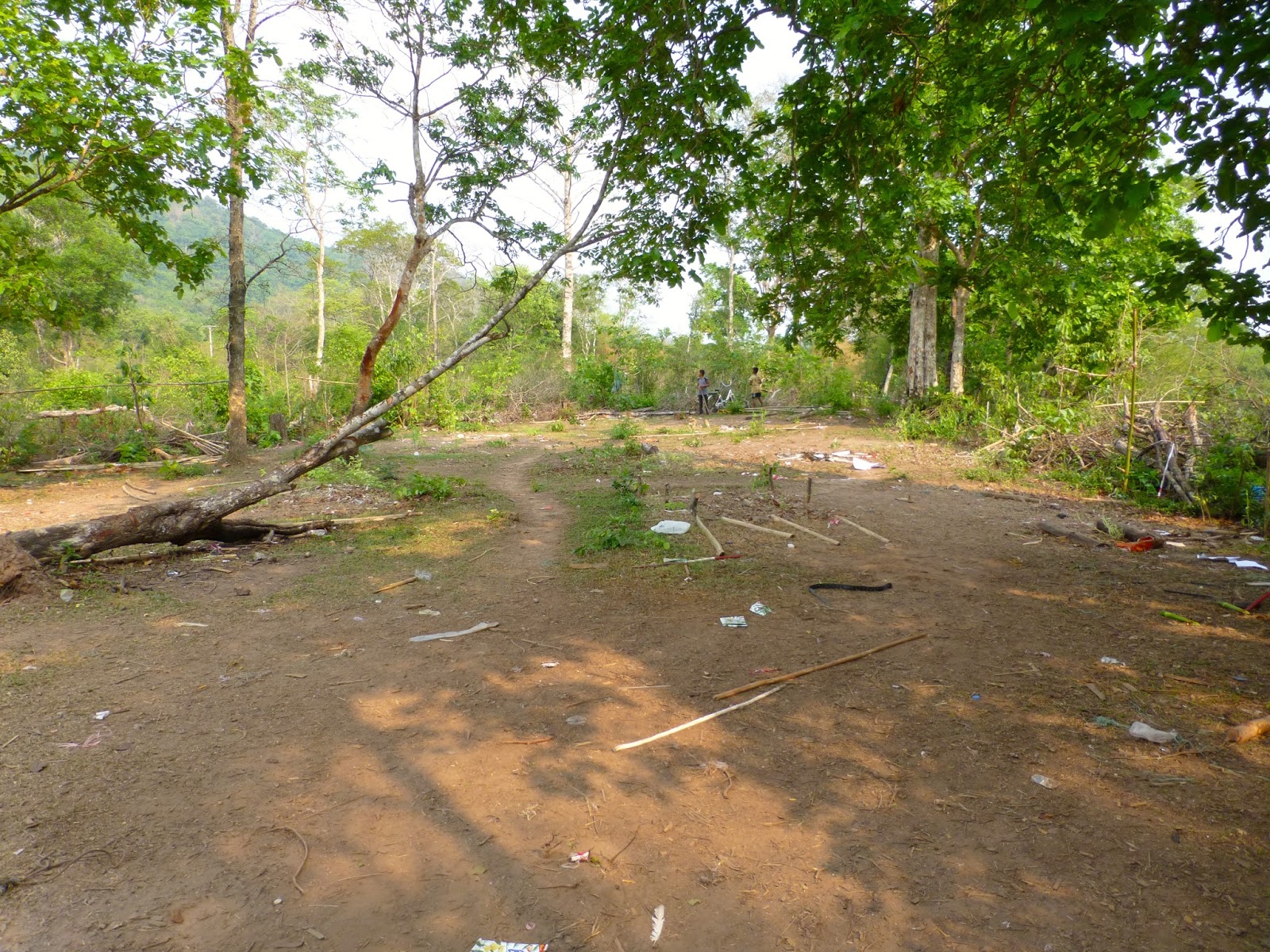
WTF this is it !!!! Don you need to edit your map mate, although i was using an old one "good camping by river" the camp site resembled the local trash dump and smelled like one, the river had been dammed up down stream and was more like a swamp than a river

Locals lads looking through the garbage

Not what i had imagined so it was plan C, well i had no bloody plan C so i backtracked, five hours wasted so far.


It was starting to get a little late in the day, i was knackered and looking at the GPS Bouarapha was the obvious choice for the night
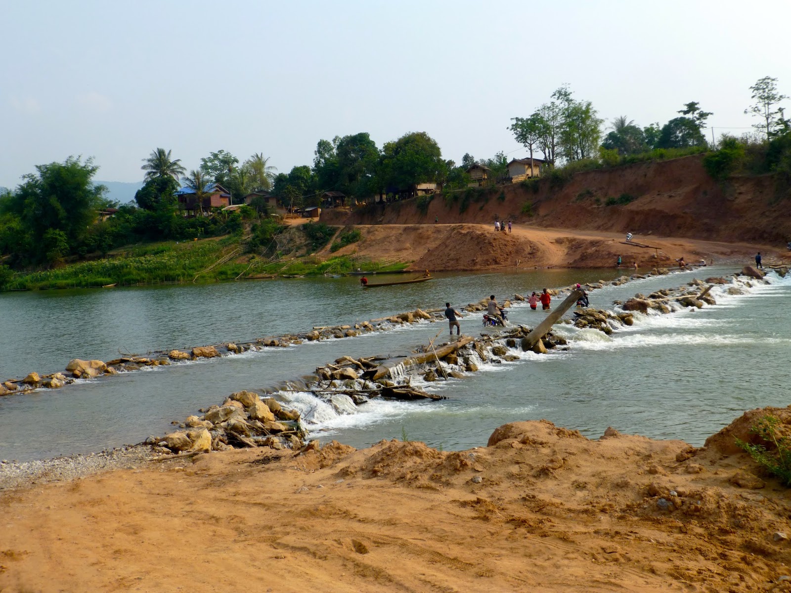
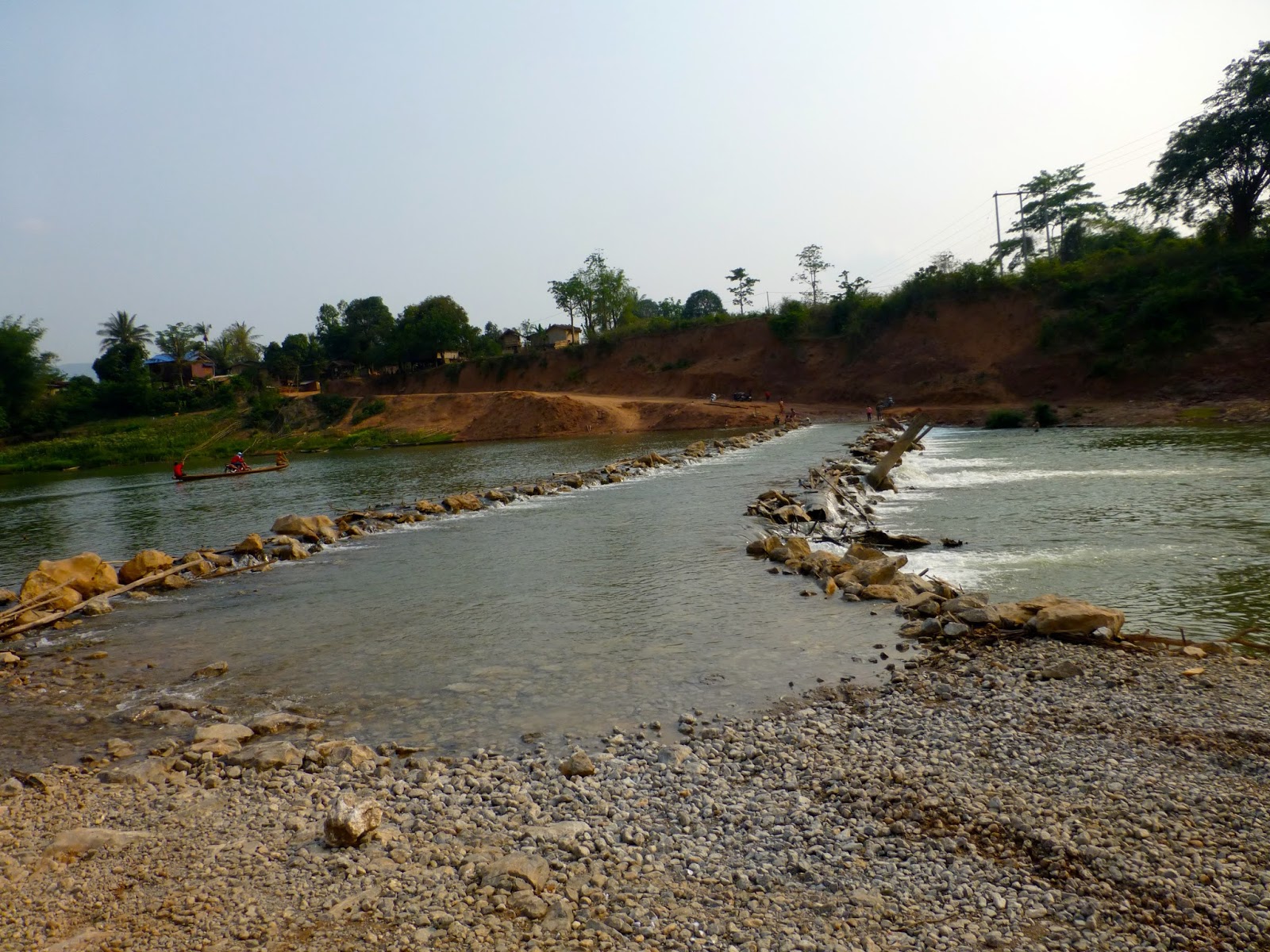
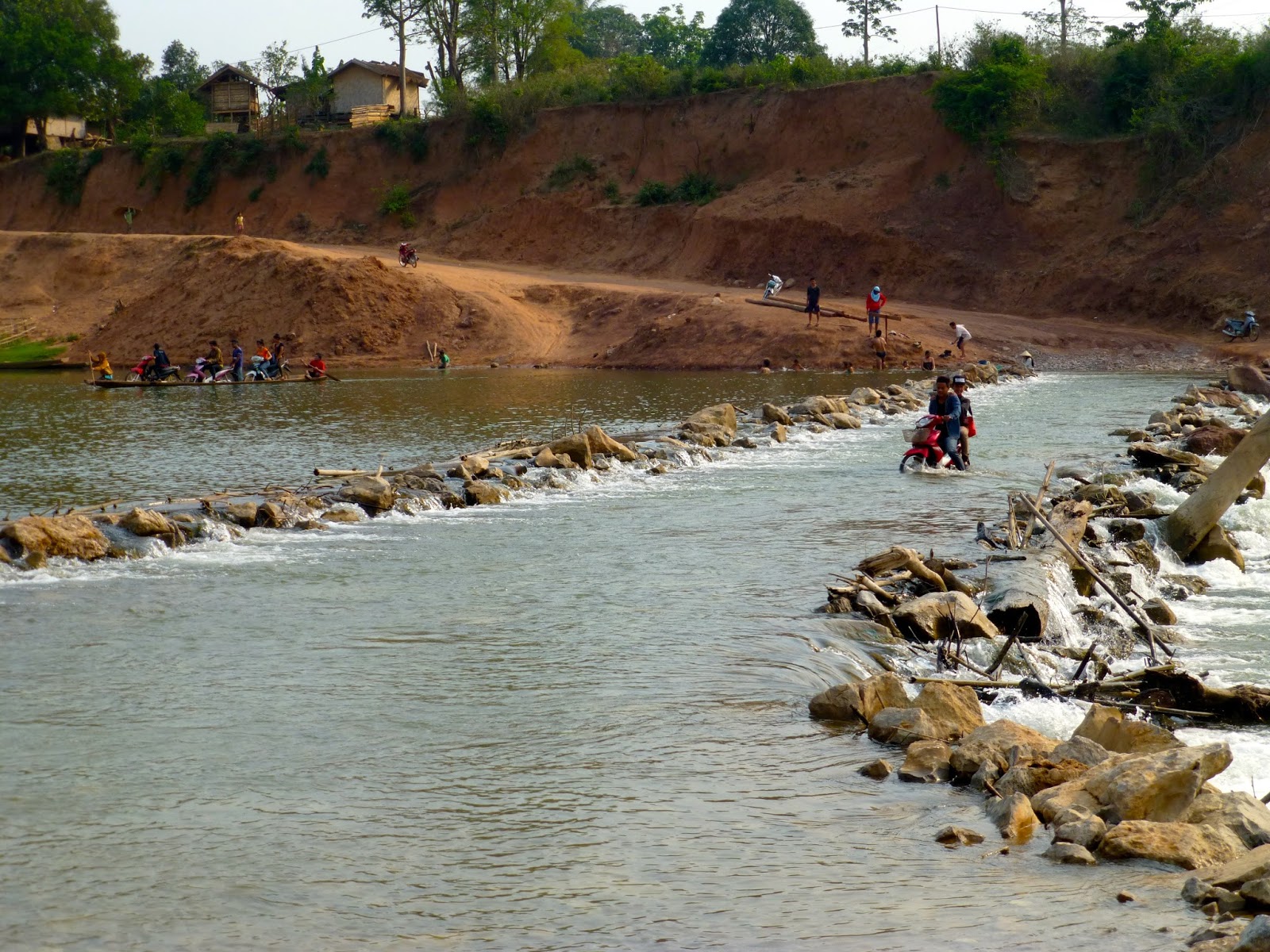
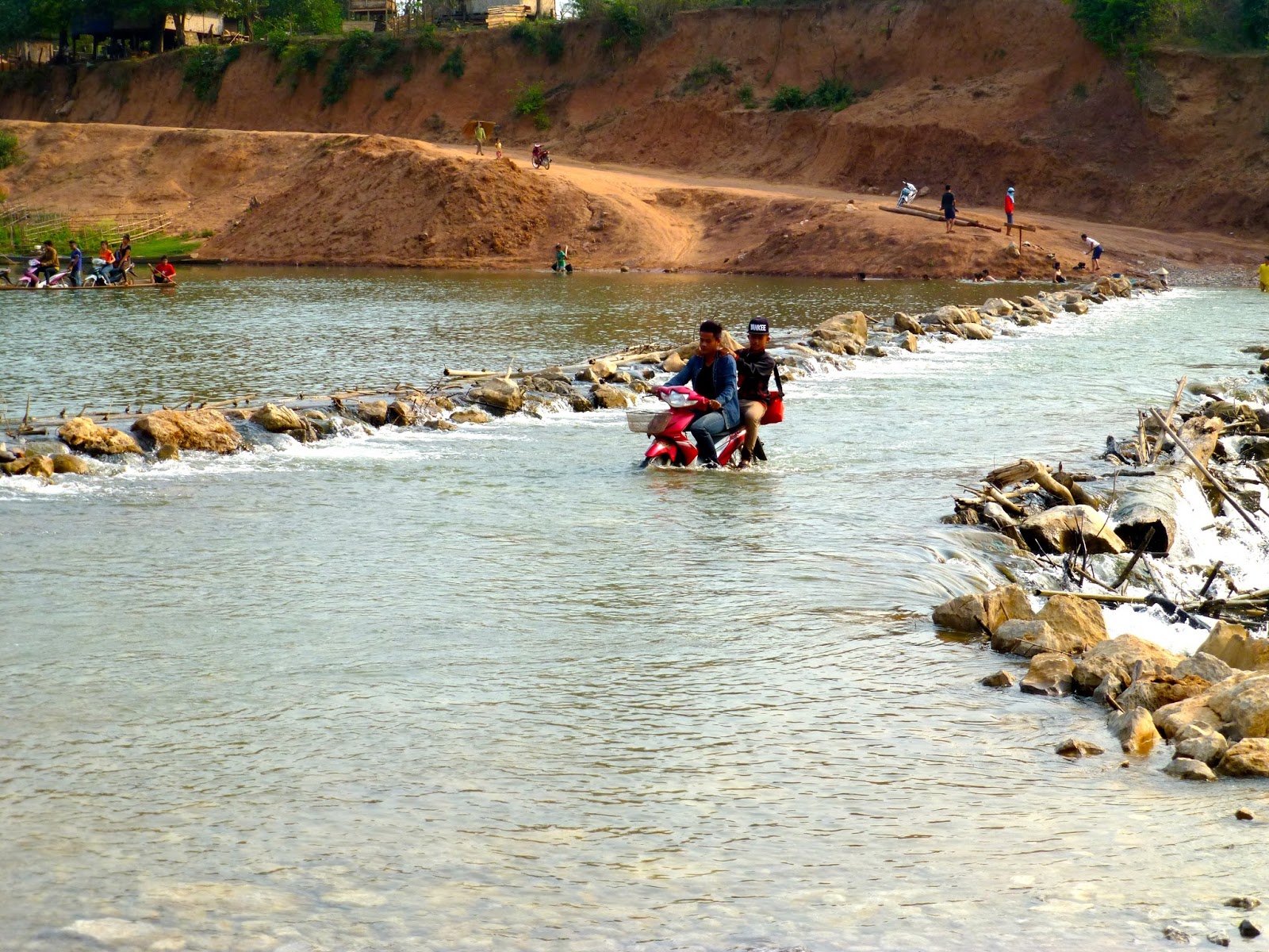
But to get there i had this to cross

I watched for a while to figure out my options, a couple of the local hero's has already drowned their bikes as i approached and as i watched the more successful it was clear it was very rocky. Short legs, rocky and tired. Not today young Bob


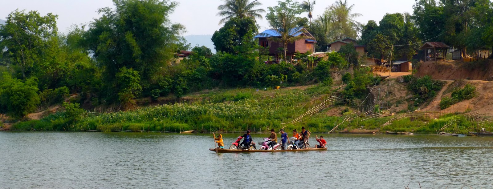
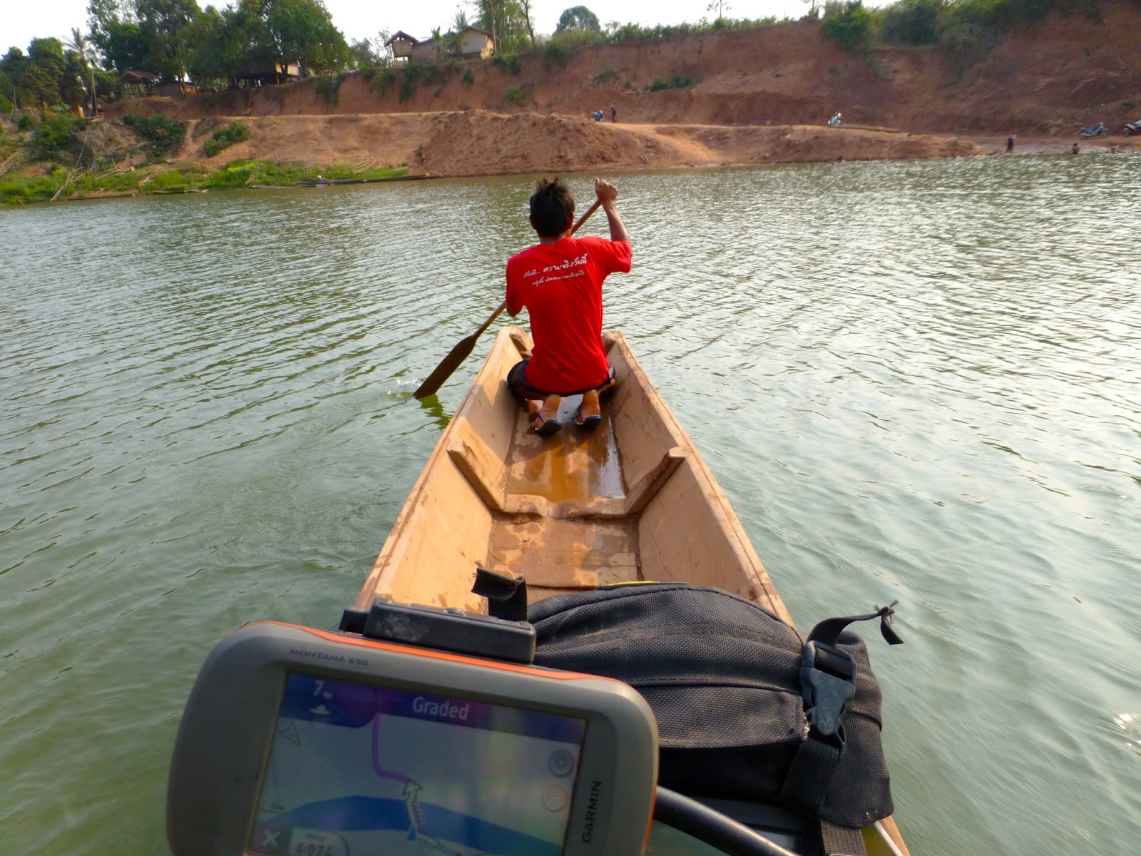
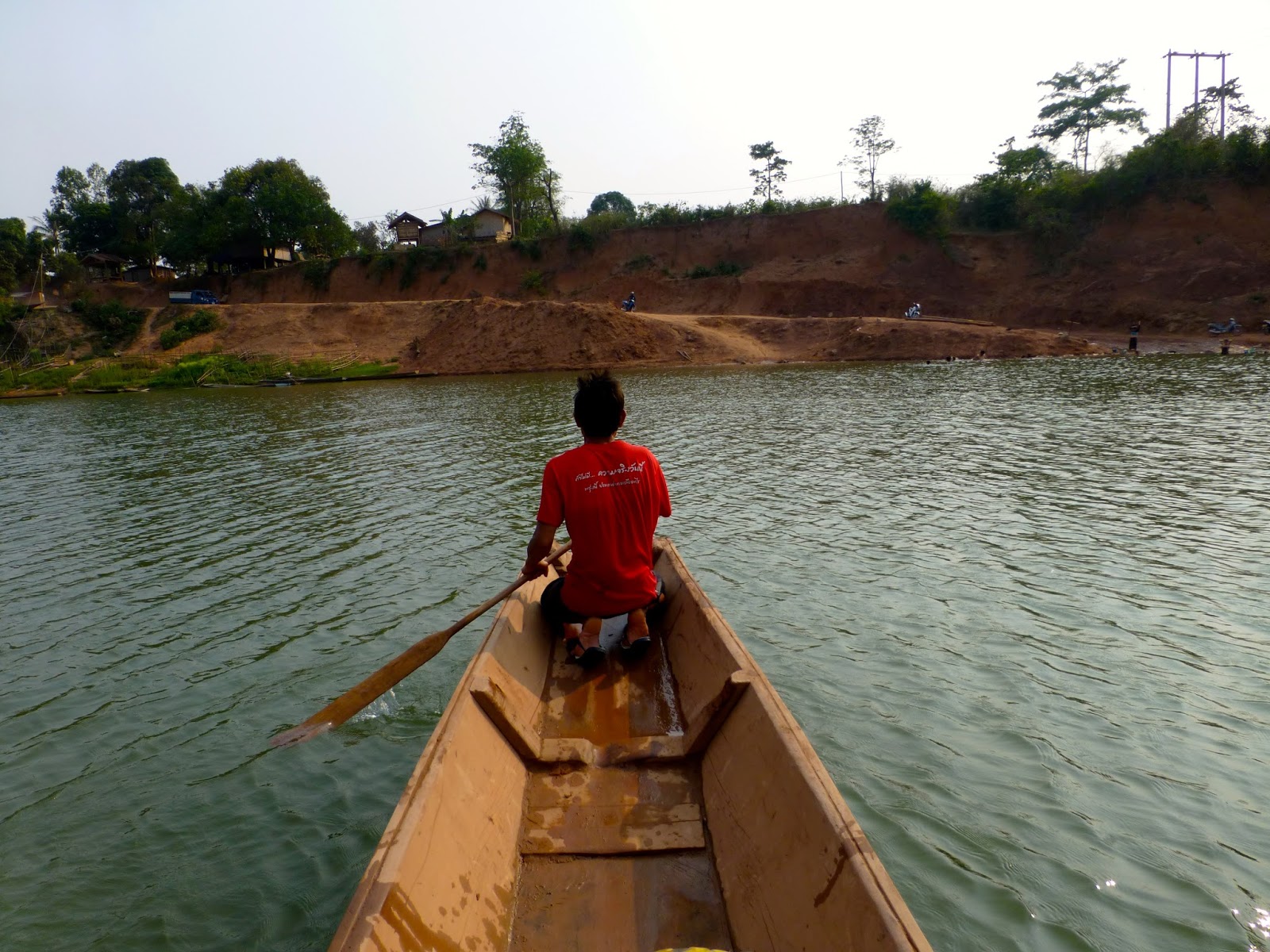
Then i noticed a canoe ferry that was to be my saviour
I asked if he would be ok with my bike all loaded up, stupid question !!!

Still some of the braver locals had a shot at the crossing


My taxi was approaching as i viewed the show


I could have camped there and just watched them all day !!
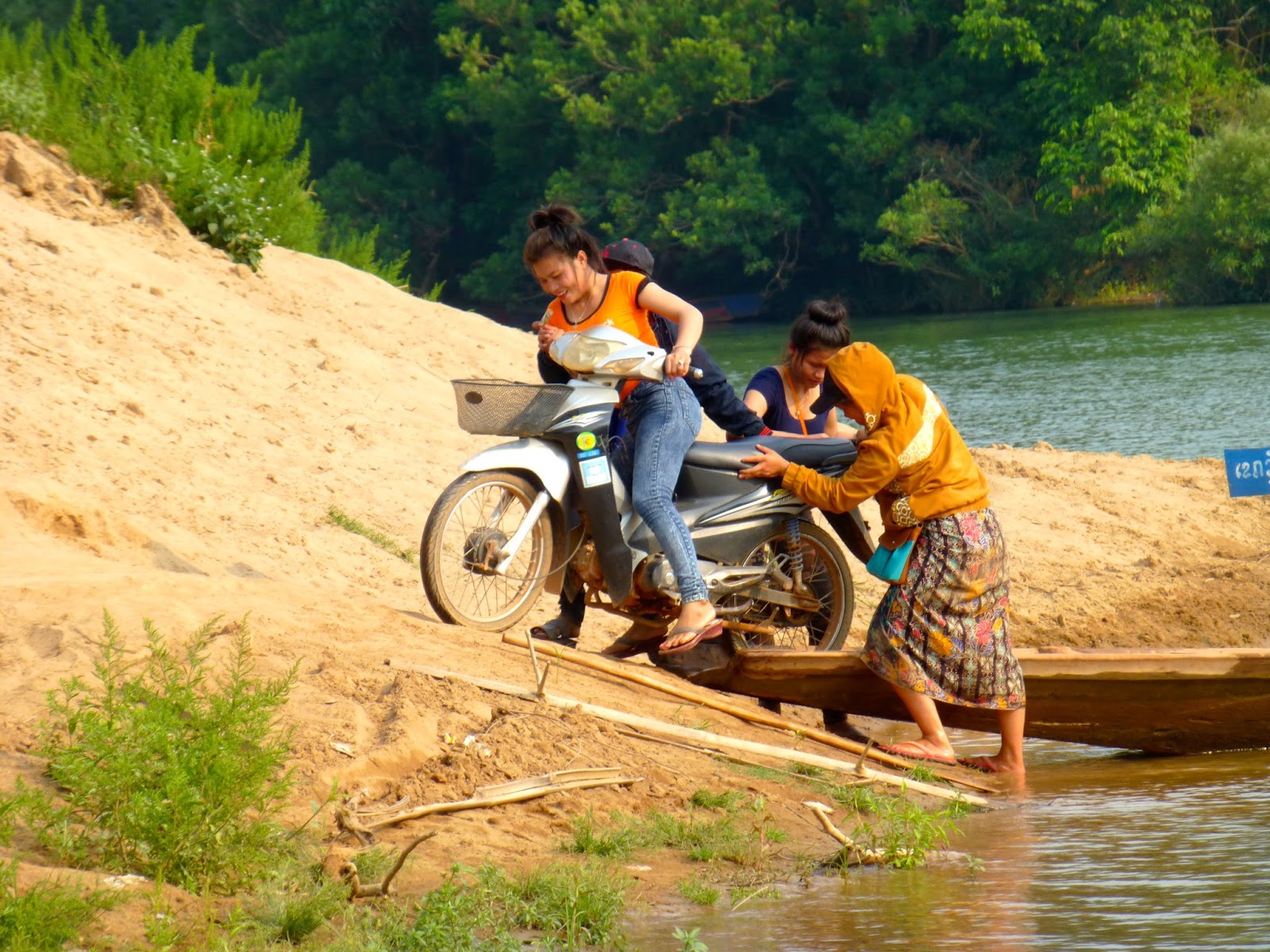
Anyway all aboard


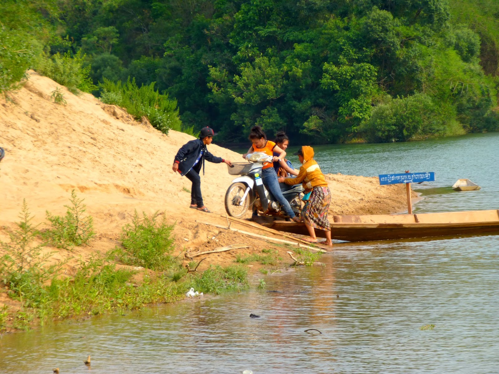
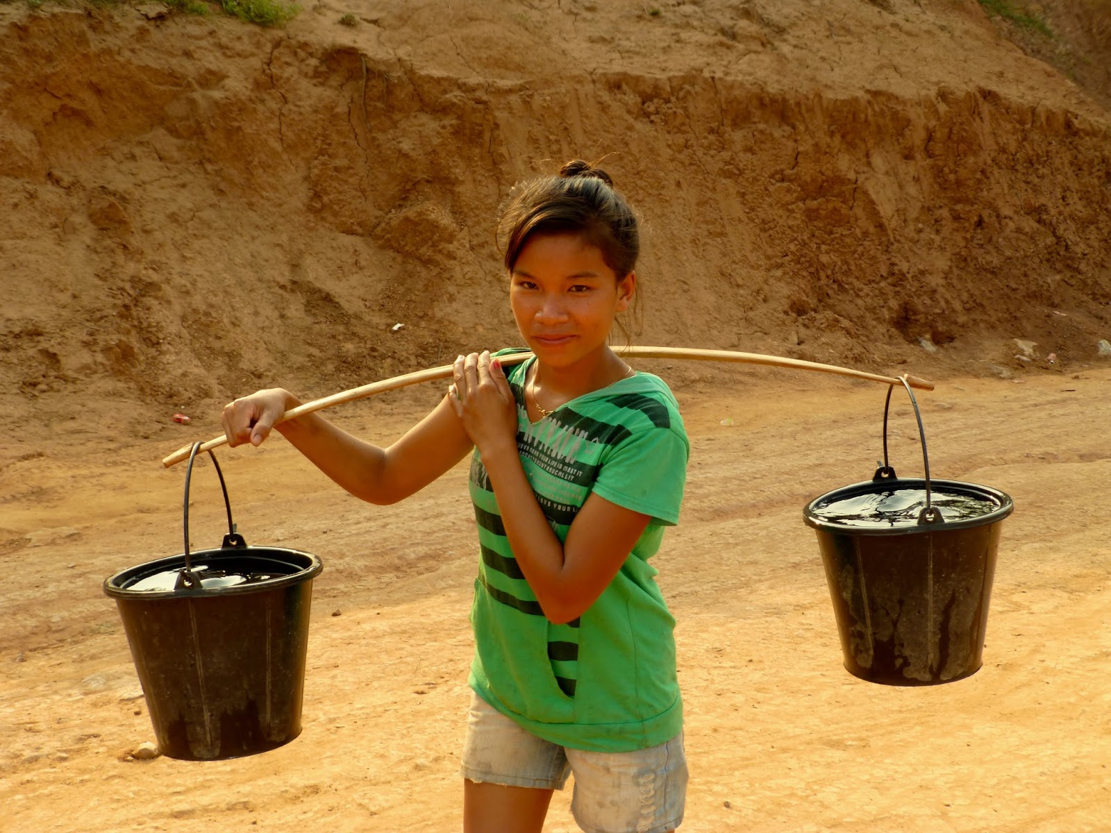
Cute girl collection the water for the evening and a cute smile, maybe camping was a good idea


Once across it was red bull and pepsi time

If you was to take a look at the GPX file and look at my speeds you would notice a sudden injection of pace i arrived at Bouarapha but no accommodation was to be found, looking at the GPS i needed a plan D, so Thakhet was to be my mission
The only picture from this point on

The next what felt like days in almost darkness on top of the fact my GPS kept taking my on some damn awful single track sections, but i was too tired to argue.
Tired dirty and in need of a beer i landed in Thakhet nearing 7 Pm and after running the gauntlet of water and powder throwing drunks, i got to the Sooksomboon Hotel
The reception guy offered me two types of rooms one on the Karaoke side or the quieter side of the place i went for the quieter side, which i later found made no fucking difference as their was a night club at the back of the place.
Grabbed a beer from the Karaoke dropped my gear a mist the reception asking did i want young girl and headed for the Inthira Hotel and restaurant looking like a bag of shit still in my riding gear
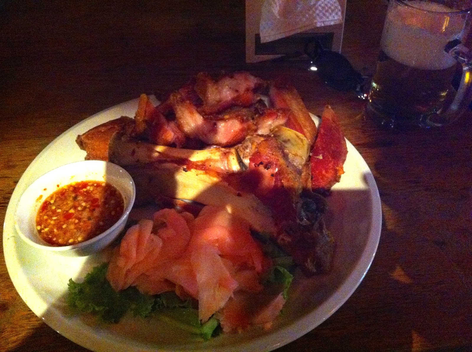
Ordered the most expensive thing on the menu, pork leg, yummy

I entertained myself watching the assembled backpackers sponging off the free wifi, making shuttle runs to the local market for meat on a stick because they could not afford the menu. They watched with envious eyes at the strange dirty farang gorging on the feast in front of me washed down with several bottles of Beer Laos.
423 Km 10 1/2 hours
Pretty excited this morning, interesting route ahead with a nice camping spot in mind so after a breakfast of something on a stick i bid farewell to my ever smiling landlady at the Souriya Hotel.
Leaving town passed several more beautiful looking temples i guess money flowing from Vietnam helps boost the local economy

The first sections all graded so i guess this time next year will be paved
Hotel on the edge of town for next time
Brickworks
Soon onto the red dirt
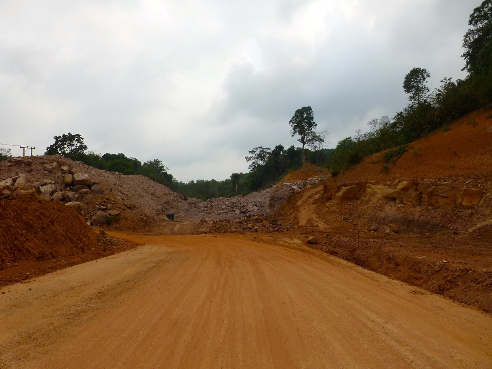

Again huge amount of work going on creating new highways
One of the main features of this ride is the flooded forest area's that had an eerie look about them, but a great habitat for Giant Snakeheads methinks
This guy had a bunch of black butterflies following him you can just about make out in the picture
Strange but beautiful
Locals boys fishing
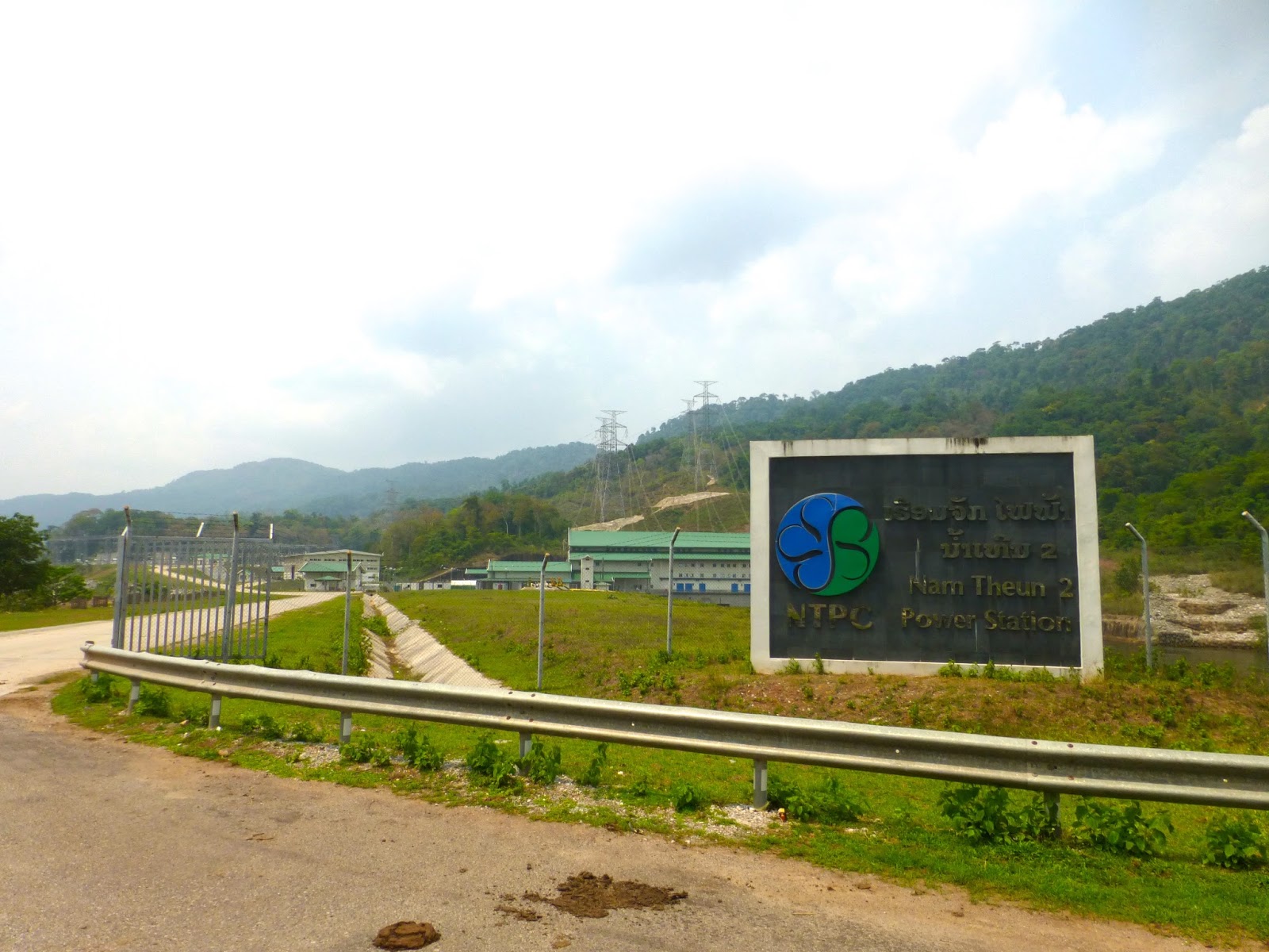
Huge amounts of land flooded as part of the power station dam
The bridge crossing the controversial Nam Theun Reservoir

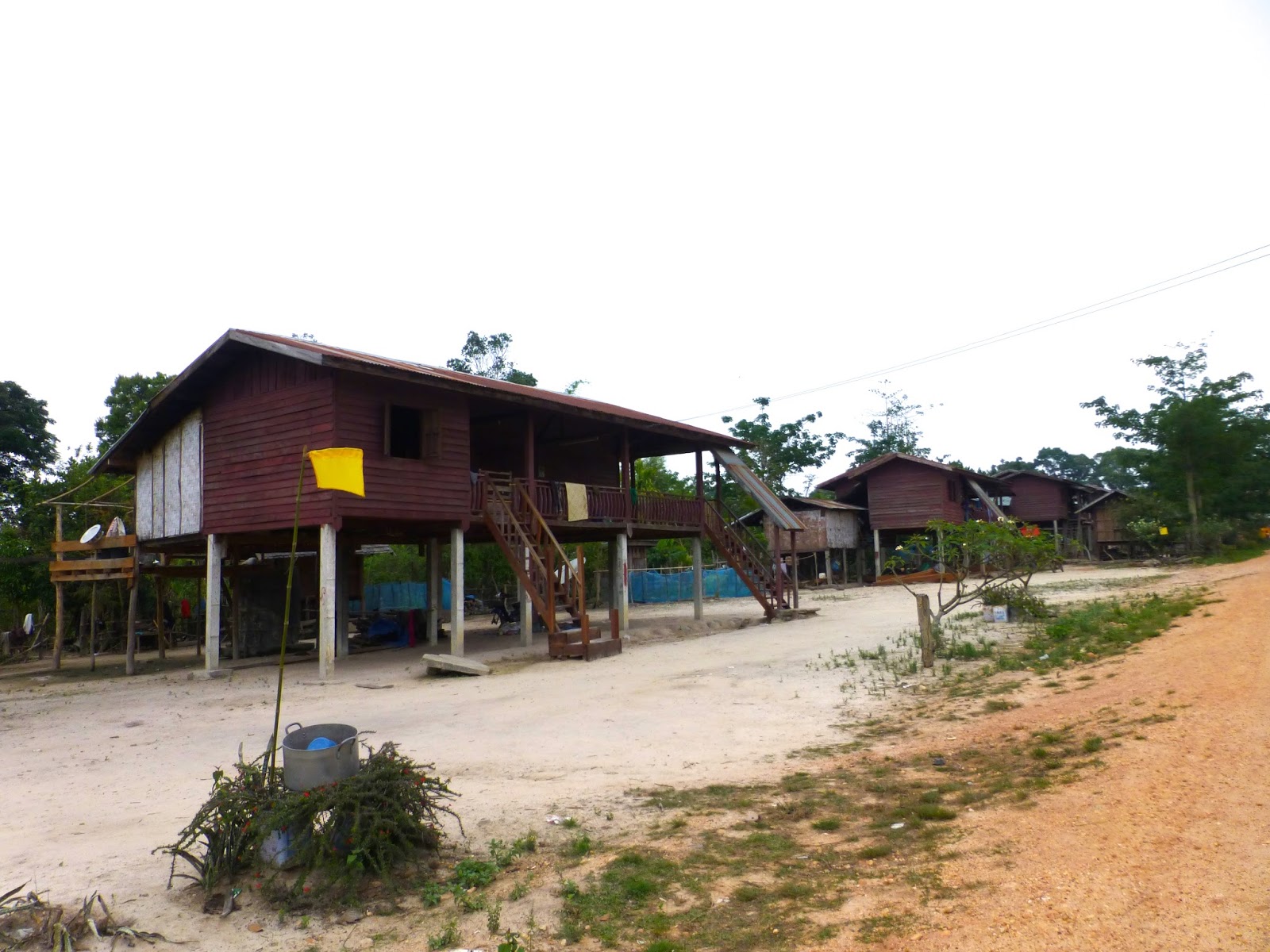
Many Guesthouses in this area

New temple under construction
monks living accommodation
Lot's of small communities along the way, but kept me thinking what the hell do these people do to sustain themselves with almost no farming land still above water
So many small short time looking hotels along the route, but looked a bit upmarket for truckers
Would like to take this picture again in the rainy season
Disused school or workers accommodation
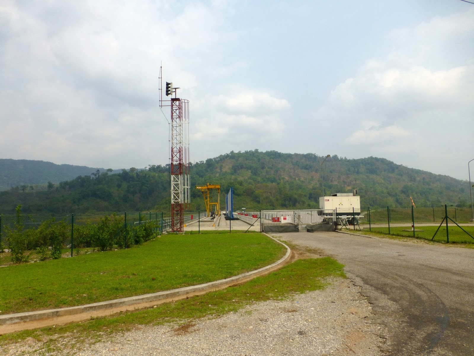
Not sure of the function of this but part of the waterway control i think.
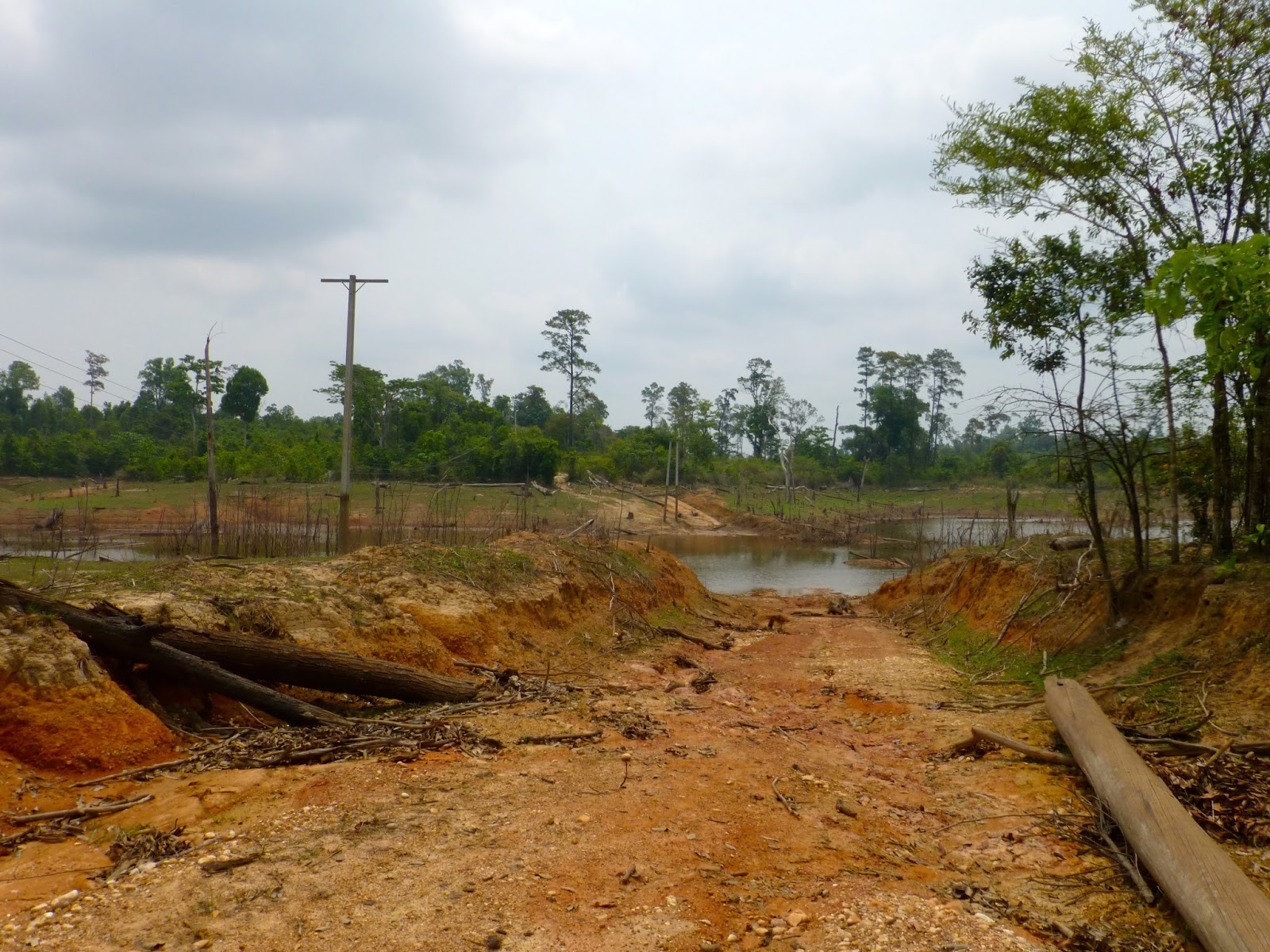
Now this is when things started to get interesting, i had laid a route across the reservoir and things started to look promising

Although the GPS was having a hard time of it but still on terra-firma
But not for long, closer inspection revealed the end of this attempt
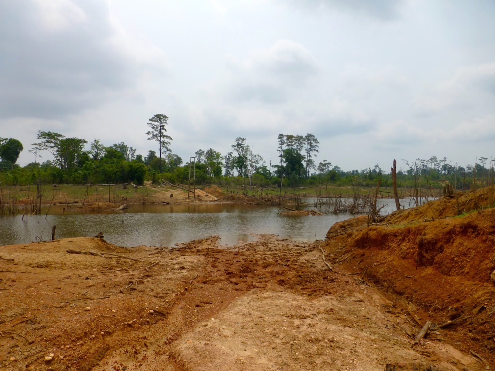
So back i went to the paved road then started down the finger along the reservoir

Pretty nice surface so my hopes are up
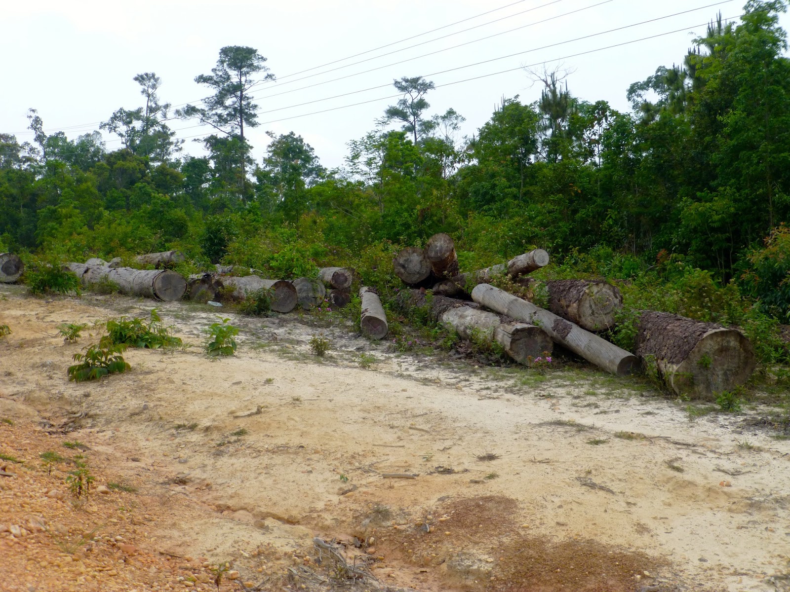
Abandoned office, i presume for the logging company

Still nice graded road

Reached the village of Ban Don, in it's time this place must have been buzzing, but now the logging is finished it is slowly turning to a ghost town although i could hear a big Songkran party going on somewhere
Unusual to see a covered stairway like this
Once past the village it was old logging trails and the GPS was blank
These tree's had painted arrows pointing to the right but the left trail was more used, so left it was
Old workers camp
Not so well used
Then opened to this
Dead end but almost reached the water crossing but the track had been deliberately blocked by trees

Turned back a way and tried another trail, but brought me to this

Logging barge crossing, flicked over to Don's map and could see i was on the right path but no way across

No other way to be seen

So it was a another turn around
Stopped at the Fuel drum back in the village of Ban Don and asked if their was another trail pointing to the view on my GPS. Nothing doing so plan B

Got back to the main road, and a nice concrete paved section down to the controversial Nam Theun Hydrostation
Moving quickly on the nice surface i was making up time after my earlier efforts


This is where i was intending to pop out from the logging trail, so near yet so far

Anyway pushing on to the nice camp site !
The camp site is actually on part of the HCM Trail so i was looking forward to spending the night along this legendary roadway
WTF this is it !!!! Don you need to edit your map mate, although i was using an old one "good camping by river" the camp site resembled the local trash dump and smelled like one, the river had been dammed up down stream and was more like a swamp than a river
Locals lads looking through the garbage
Not what i had imagined so it was plan C, well i had no bloody plan C so i backtracked, five hours wasted so far.

It was starting to get a little late in the day, i was knackered and looking at the GPS Bouarapha was the obvious choice for the night
But to get there i had this to cross

I watched for a while to figure out my options, a couple of the local hero's has already drowned their bikes as i approached and as i watched the more successful it was clear it was very rocky. Short legs, rocky and tired. Not today young Bob

Then i noticed a canoe ferry that was to be my saviour
I asked if he would be ok with my bike all loaded up, stupid question !!!
Still some of the braver locals had a shot at the crossing
My taxi was approaching as i viewed the show
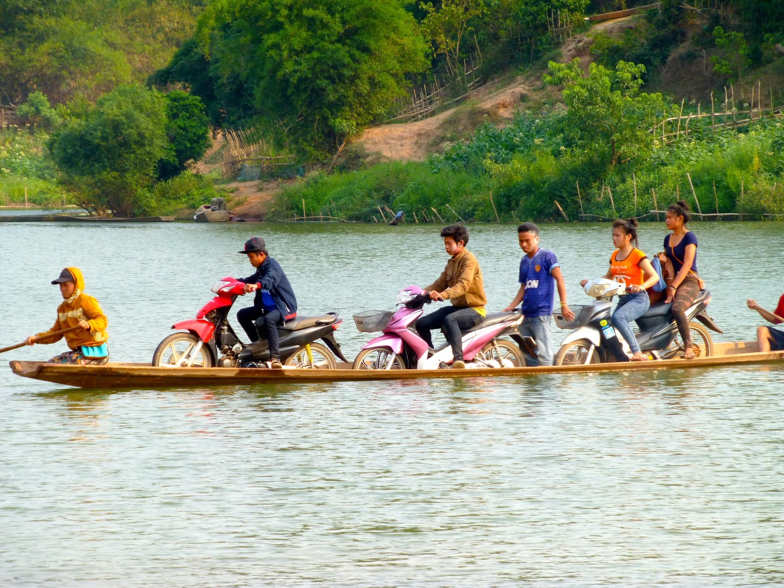
I could have camped there and just watched them all day !!
Anyway all aboard
Cute girl collection the water for the evening and a cute smile, maybe camping was a good idea

Once across it was red bull and pepsi time

If you was to take a look at the GPX file and look at my speeds you would notice a sudden injection of pace i arrived at Bouarapha but no accommodation was to be found, looking at the GPS i needed a plan D, so Thakhet was to be my mission
The only picture from this point on

The next what felt like days in almost darkness on top of the fact my GPS kept taking my on some damn awful single track sections, but i was too tired to argue.
Tired dirty and in need of a beer i landed in Thakhet nearing 7 Pm and after running the gauntlet of water and powder throwing drunks, i got to the Sooksomboon Hotel
The reception guy offered me two types of rooms one on the Karaoke side or the quieter side of the place i went for the quieter side, which i later found made no fucking difference as their was a night club at the back of the place.
Grabbed a beer from the Karaoke dropped my gear a mist the reception asking did i want young girl and headed for the Inthira Hotel and restaurant looking like a bag of shit still in my riding gear
Ordered the most expensive thing on the menu, pork leg, yummy
I entertained myself watching the assembled backpackers sponging off the free wifi, making shuttle runs to the local market for meat on a stick because they could not afford the menu. They watched with envious eyes at the strange dirty farang gorging on the feast in front of me washed down with several bottles of Beer Laos.
Last edited:


