HCMT Ride in Rainy Season Last Week

Lao2stroker

Senior Member
Joined
May 25, 2011
Bikes
I have too many bikes....
As I had to wait for a new stator and the later ordered HID light kit for the Katoom, I slummed it on this "passable" AR CRM...she's my Mia Noi, for sure. I love riding at night in the deep woods, so more on that to follow...this is a test pic to see if I got that aspect right:

IMG_0952.jpg
 
And a good prepp of the bike for mud and water...I stripped it to the frame, unplugged and cleaned every single connector with contact cleaner, lubed them all with lithium grease, new gasket for exhaust, which yDSC00150.jpgou can see here, shot out of the silencer upon first start...Looks like the big end of a rubber :) This would later prove to be a sign....
 

Attachments

  • IMG_0953.jpg
    IMG_0953.jpg
    100.3 KB · Views: 307
DSC00151.jpg

So as I mentioned, the gasket blowing right out the silencer...and so proud about the connectors...Well, about 5KM past the South bus station, electrical issues ensued...it died, and I had no choice but to turn back and take it apart. Fuark noticed a burn on the pin on one connector on the main harness, not CDI, and took one off a XR and soldered it all up.....I was on the road at 5 oclock, ready to drive to Borikhan, time to enjoy the night.

This is a bat fisherman's set up in the photo. I circled his "hook and bait", which is a giant locust male tied to a string, hanging off a bamboo pole, danlged in front of their insect lights. He got a lot of strikes, but no bats when I was there. FIsh on, lil dude!
 
DSC00153.jpg

DSC00155.jpg

FOr those that haven't seen this, these are common insect traps in SE Asia..they use bright purple black lights to attract insects, that fly into wall and slide down in to the trough, which then leads to a bucket full of water, where the insect drown or are kept for collection. Pigs eat the small ones and people eat the bigguns...Eat the bug, you get the corn, we say in Texas. Sep ley!
 
DSC00157.jpg

Selling fish to the late night crowd near Pakading....On a dark Mekong highway, cool wind in my hair...warm smell of drying fish, rising up thru the air...Well, I fixed THAT..ahem.

DSC00158.jpg

Snake skins dried for sale...MM says he thinks they were fish, but we bought big python steaks here last year at Pakading, so they looked like snake in my eyes.....
 
DSC00161.jpg

This was a "party van" parked on the roadside at 11PM, blasting turns, strobing lights, and all sorts of crazy shit...all for 3 workers, pouring concrete. I think they were all on E.


DSC00163.jpg

Umm,yeah...I can imagine what THEY were thinking when I stopped, turned around and took this pic of the crapper, laughing so hard Iw as crying...nearing midnight, I was a bit punch drunk...


DSC00170.jpg

Pakading bridge with Thailand over the river


DSC00182.jpg

This is where I pulled in for the night, Sky LIne Resort, 10 KM east of Vieng Kham on HWY 9...absolute shithole used condoms and all...don't be fooled by the view or the name.
DSC00183.jpg

Civilized breakfast...Dried meat, sticky rice, and Starbucks....Highly recommend for any survival box...for those mornings you never know where you'll wake up...

DSC00186.jpg

Hope we don't get cancer....

DSC00188.jpg

View toward HWY 9 from the top of the tower hill...If you never drive in rainy season, you really miss out one of the most beautiful and green times in our seasons.
 
Very cool story Eric! Looking forward to the rest of this -- Thanks for taking the time do it, great reading. :RO
 
DSC00189.jpg

SO many tall karsts in Khammoune/Borikhan Xi...


DSC00192.jpg

There are also alot of old burned out trees standing dead in the paddies...victims of lightning strikes...


DSC00193.jpg

The GPS shows the track is here, and it IS.....but they aren't too keen on letting traffic thru anymore....these gates are latched and tied with more reeds than are menat to be un-done.....So back it is.....this is a track that runs along the karsts South of Khounkham and Nahin, almost parallel to the Kong Lor road...let's find another..

DSC00196.jpg

The first water crossing, just above the knees, but short distance and still water....bottom was sandy and stoney....not slick at all.

DSC00197.jpg

Which led to this....looking good!
 
DSC00198.jpg

And lead to this is about 5-7KM....well hell...so it's in to Khoun Kham for lunch, then down the hi-way to HCMT outside Lak Xao


DSC00194.jpg

A boy in KK with his beetle-pet....he swings it around to get him going, then he flys around on his own about the boys height..cool!:RO

DSC00204.jpg

The view from above Nahin, camera is on "Painting MOde"...weird, never used it b4....

DSC00207.jpg


A tributary of the Nam Theun thru the mangrove and into the Karsts.
DSC00208.jpg

Looking North up the Nam Theun from Thahbok
 
DSC00209.jpg

A late afternoon dip before dinner....


DSC00212.jpg

Local daredevil show his stuff for the alien biker


DSC00217.jpg

Local Hells Angels outside of Lak Xao, a last tank of pump gas before the Trail....


DSC00219.jpg

ANd the first mud pit shows itself.....Hell, I may be dirty already, but this is pure SHIT...rancid, rank, and sure to give me some foot, mouth, and ass disease....but I know it's just part of the ride, so I go thru as carefully and slowly as I can.....icckkkk..Welcome to the trail.

This is the first section that swings an eastern direction toward the Viet border, just a few KM SOuth of Lak Xao....there are 2 Left turn offs, this first one to ....... and one marked with a sign for the Copper Mine...If you can't make the first one, just backtrack and follow the road SOuth 2-3 KM to the mine sign and keep on truckin....it's amazing and nasty...
 
DSC00220.jpg

ANd on to this kinda of track for a while...nice and good traction...no rain up to now..BUt what to do? High road or low road....I opted Hi....


DSC00221.jpg

Oopss...which lead to this craptacular flimsy bridge..nope, back track...


DSC00222.jpg

Electric green paddies along the way...


DSC00227.jpg
ANd then there was an extended section of this.....


DSC00226.jpg
With crossings like this thrown in for good measure, short but deep and bottomless, wind up that 2T and let her srceeeeaamm!!!!


DSC00223.jpg
Only to come to this....2KM from my connecting track...the ditch was more than thigh deep at the bank as it was scooped by a dredger of some sort...And I was about to walk it alone as it flexed and bowed just with my weight and I m 65KG at best, and a 175KG CRM...hell no...PLus....


DSC00225.jpg

This plank, perpendicular to the timber bridge, was the approach....It's a steep, high incline and then 45 degrees right on to the timbers.....Later, I'm heading back...
 
For those interested in the cords for the turn off for the short cut, off road track to connect to 5113, they are:

N 18 10.138
E 105 00.248

If you are alone, don't try to cross the timber bridge, but I think 2 riders can help each other over it...or build a berm...It's barely a 10' gap, maybe 12.


DSC00228.jpg

This is the crossing at the Nam Kata, ankle deep...THIS is rainy season??WTH?? Again, if you are approaching the river, you must head about the 1 o'clock position, thru some small rapids, then turn totally perpendicular to ride across a long long section of large, super slick, moss covered stones. There is a bit of current too, but the water is rarely too deep..as I said, ankle deep here, at least after the first approach....The depth before the long straight is about 1 M along those rapids. Easy on the gas across that rock bed!!!


DSC00230.jpg

Which after some point leads you off into NO-where, the middle of a corn/cassava, and something else plantation...Where am I??? ;) Don't fear, press on....this is all 5113...


DSC00231.jpg
This one was abit deep, and not to hard a bottom...I walked it first, dumped the heavy shit, and drove back......Right up to the seat....Important to not go too fast, as tempting as it is, keep the splash down and hope the airbox stays sealed....


DSC00232.jpg

N 18 04.986
E 105 03.966

THIS is where the GPS trail goes....who made this thing anyway??!? ;) JK, MM....the village has kinda been rerouted...just look over your left shoulder and you'll see a newish trail going in a wide arc around the village...take that track and follow to the village....


DSC00233.jpg

And look for this very colorful and new Wat....purty! Now just after this Wat, you have road to the right, not on GPS, that leads about 100M to a sealed type dirt road....NO...if you want the abandoned track and the one on GPS, just turn hard Left at that right that LOOKS correct. The left shows no track, no trail, just a long grass lane between 2 rows of farm....you think it'd be their lawn...But press on, and it goes thru and follow 5113


DSC00234.jpg

The local way......


DSC00235.jpg

Not sure what to think of the Alien


DSC00236.jpg

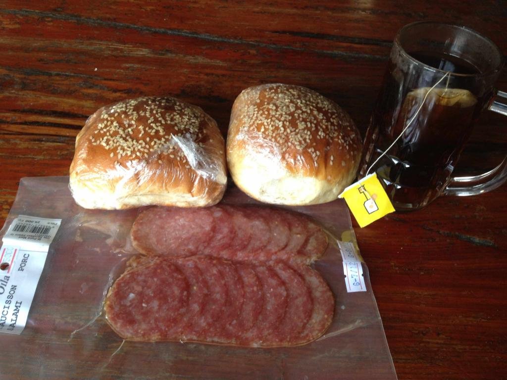
ANd then fill er up with hi-test....I only have a 125KM range, so all that backtracking and mud used alot of my fuel...I like the Tropical Look


DSC00237.jpg
The "new" 1-E...tarmac to follow.....


DSC00238.jpg
\Nakai-Nam Theun


DSC00241.jpg

It looks like rain, it's about 6:30, and my steering head bearings have frozen from overtightening b4 departure....Tarmac din't matter, the off road, it had a front wheel mind of it's own.....I'm calling it quits....


DSC00241.jpg

Yep..here it comes!

DSC00265.jpg

BAn Sabaidee BUngalows....just across the reservoir bridge in Nakai...Awesome food, cheap rooms, great view...

N 17 50.562
E 105 03.174


DSC00251.jpg

And a 2nd meal, in hammock at the room....the staff was great...I ate dinner at 7.30, but a lot of Hydro staff showed up and partied til late with their wives...So I ordered room service and it rocked!!! WHile it rained all around the lake....stunning night, lightning and all...


DSC00259.jpg

Gas, grass, or ass...no one rides for free, and that includes giant grasshoppers......Dude was trying to hitch a ride on my jacket to Mahaxai..
 
Great reading and brings back some fond memories of Road 1E when you come down from the reservoir to Lak xao. Guess the north side of 1E from Lak Xao to Nakai is still a muddy affair. Remember from my last ride there (last year in the dry season) there were still some mud-holes but luckily at these places the road was wide enough to pass by these holes even with my truck. Must be difficult in the rainy season though.
 
Eric

Thanks for including the GPS Lats & Longs, very helpful to pinpoint on a map or Google Earth.

My camera, a Panasonic DMC ZS7 includes a GPS function, also handy if I forget where a particular photo was taken.


Mac
an occasional 4-wheeler


For those interested in the cords for the turn off for the short cut, off road track to connect to 5113, they are:

N 18 10.138
E 105 00.248
 
A great read Eric, love your trips, full of energy, thanks so much for taking the time to write this.
 
Thanks for the great info and photos,

I am saddling up now, to get that sandwich and french fries! I may opt for the pumpernickel however.
 
Thanks for the kind words guys......happy you all are enjoying the pictures!!! Now I'm ready for another trip.....I see something coming up in the next few days.....


DSC00267.jpg

Phou Padeng restaraunt, about 15 KM (N) before Mahaxi, you get Belgian chalet style interior, a real french menu, tableclothes, fine wines and just about everything else you'd expect, anywhere but in rural Laos....Even baguette ham n salami sandwhiches to go after you've eaten your fill of steak and mushroom sauce with mashed potatos and fresh baked dinner rolls...DON"T miss it if you're in the area....


DSC00268.jpg

East of 1-E, abandoned road along the river


DSC00269.jpg

One of so many beautiful green mountain karsts
DSC00270.jpg

That famous red clay grease from Southern Laos...mmmm, lap it up...pretty tacky actually, and easy ride at speed...Once again, it hadn't really rained at all for the last 4-5 days, and even then very little, at night.


DSC00271.jpg

One of the old bridges that cross high water and deep gorges


DSC00272.jpg

ANother bridge, slightly more "permanent"

DSC00275.jpg

And this one, made from what looked to be ancient 4x4 timbers seemed so tired and worn, but still strong as ever. The canyon below was cut with emerald green water and rapids rushing thru the stands of bamboo


DSC00277.jpg

You can just see the tanks and trucks rolling thru here, in the dark, hiding from the Man..so much history on these bridges, the tracks, so many stories...


DSC00276.jpg

The gorge below...of course the picture just can't do it justice....
 
View attachment 8126

Very scenic village of Viet-Lao type people, probably an ethnic group...they were typically a bit stand offish..til the Kip came out and I bought every drink in town.


View attachment 8127

The ever common "bomb planter"

View attachment 8128

It's about to het sloppy....It was like this til near dark...And worse after dark...it's good I didn't see a lot of it.


DSC00284.jpg

This bridge was just laid with funds from China..Not.
 
Wonderful trip report and generous of you with the GPS coords. Thanks heaps. you're a demented donkey for ENJOYING riding in the night over here. I envy you. I can almost smell the premix now.
 
Demented Donkey-"Burro Loco", en Texas!!!

THX for the kind words!!! More to follow...and a report/review/ride on the HID light coming soon...
 
Back
Top Bottom