Captain_Slash
Community Manager
- Joined
- Jun 28, 2011
- Bikes
- BMW 310GS Honda Wave 125 Honda MSX 125
The route 107
Total distance 116 km
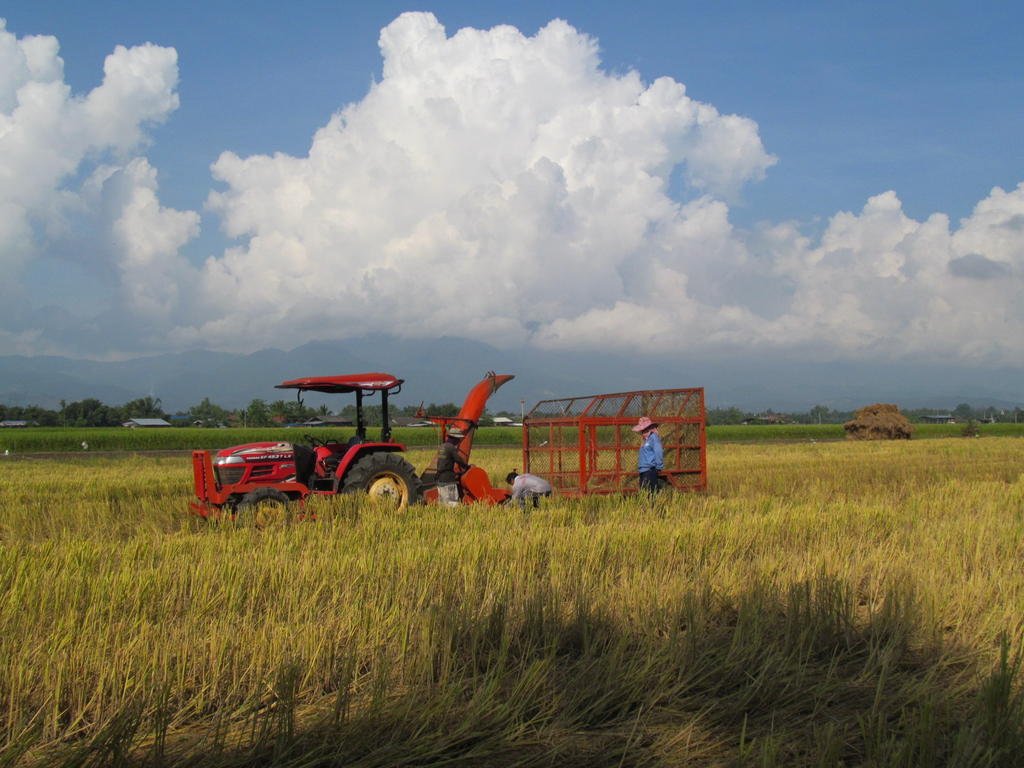
I have uploaded todays photos directly onto the site rather than linked to Photobucket as I am hoping the picture quality will be better.
Last night I was looking through my photos after uploading them onto the computer and was a bit disappointed at how much lower quality they appeared to be after Photobucket had aquashed them down.

Here is the Photobucket photo for comparison, I will continue storing them in Photo bucket also as back up though

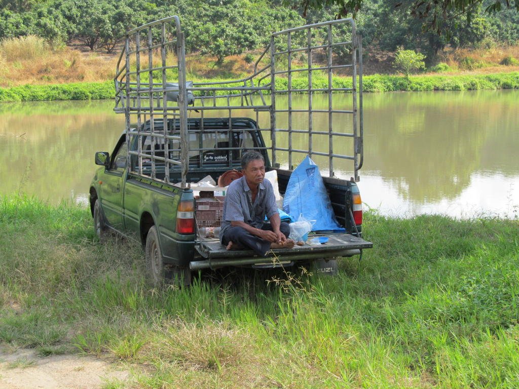
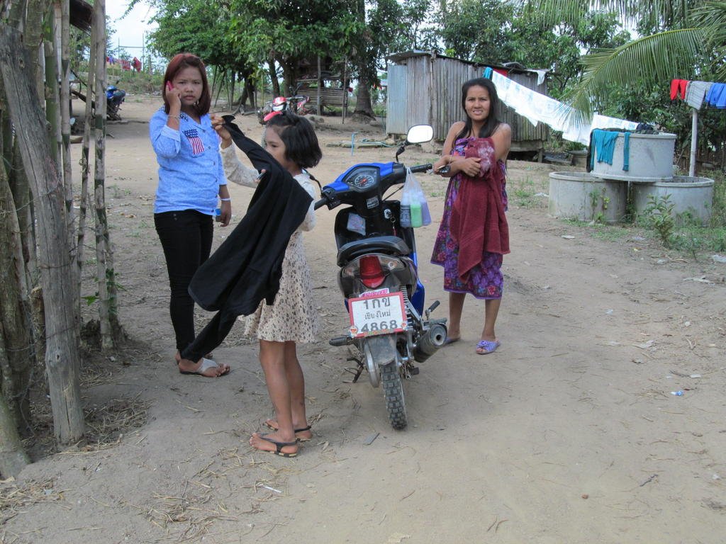
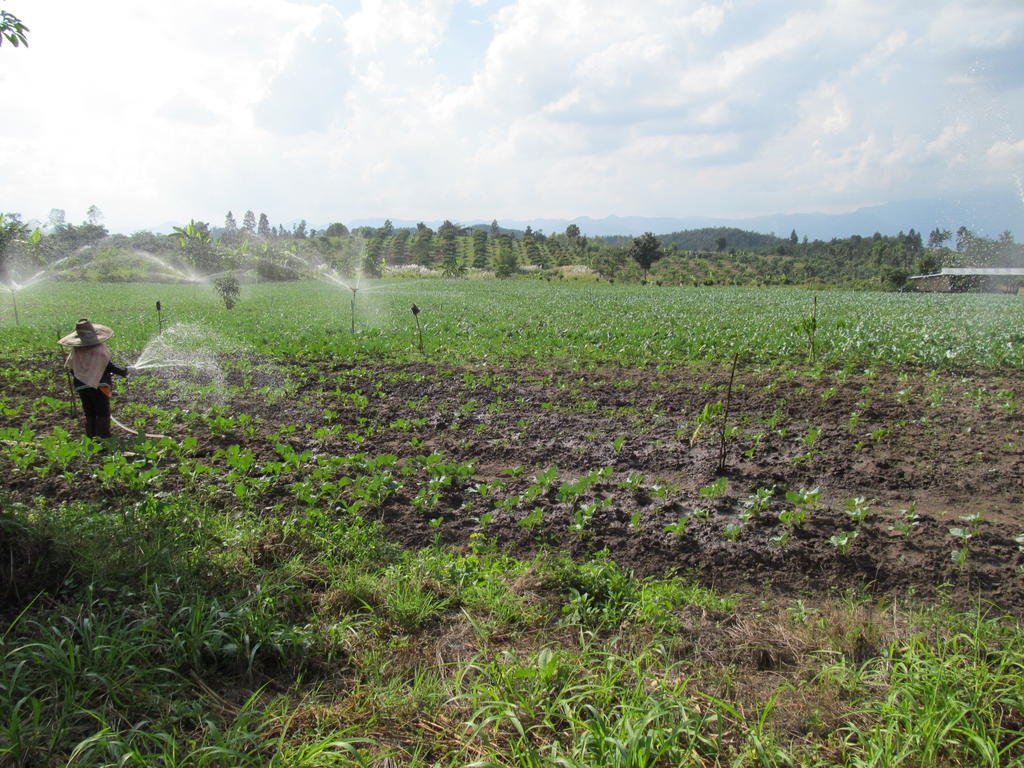
As I pulled up this young lady was tossing a snake out into the fields with two long sticks, it had been in their well when she went for water

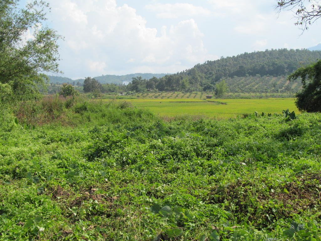
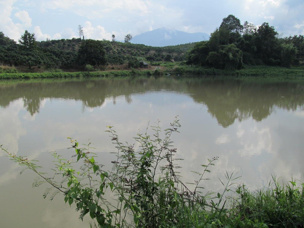
N19.70510 E099.15341 to N19.71901 E099.15046
N19.71288 E099.15771 back to N19.71288 E099.15771
N19.70303 E099.15855 to N19.70825 E099.17160
Single track from N19.67426 E099.21785 back to N19.67426 E099.21785
Single track from N19.68057 E099.21481 back to N19.68057 E099.21481
Single track from N19.68097 E099.21430 back to N19.68097 E099.21430
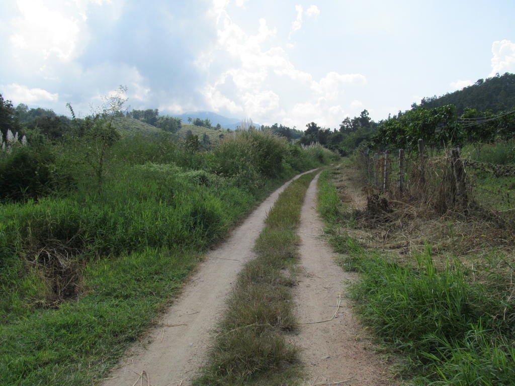
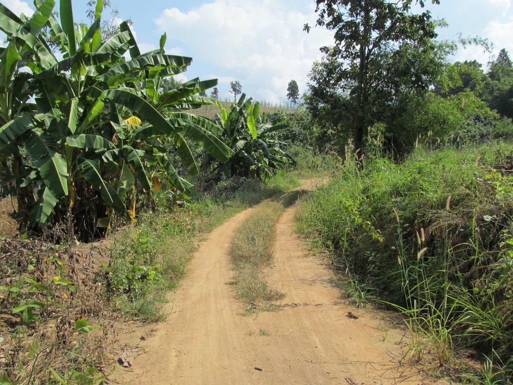
On the ride back I noticed the paved surface started at N19.70825 E099.17160 so its been extended since I last rode there a year ago
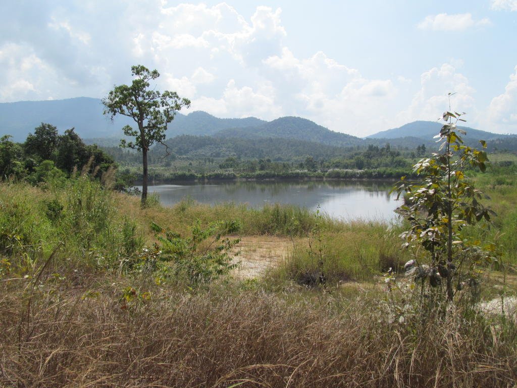


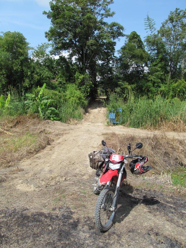
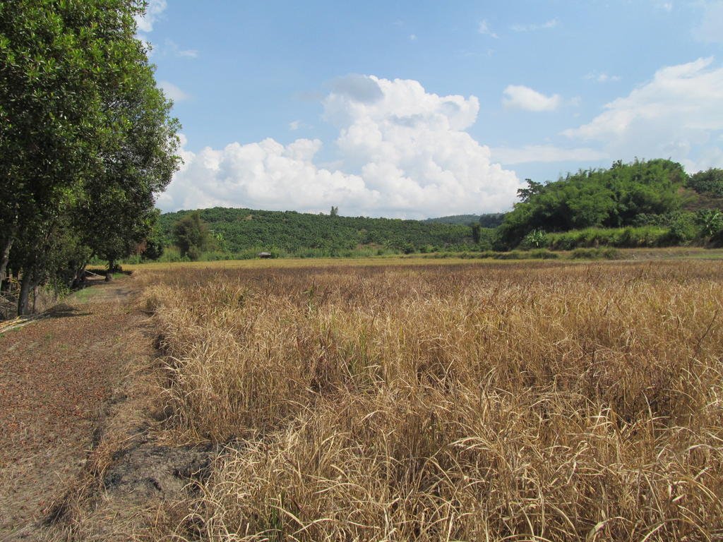
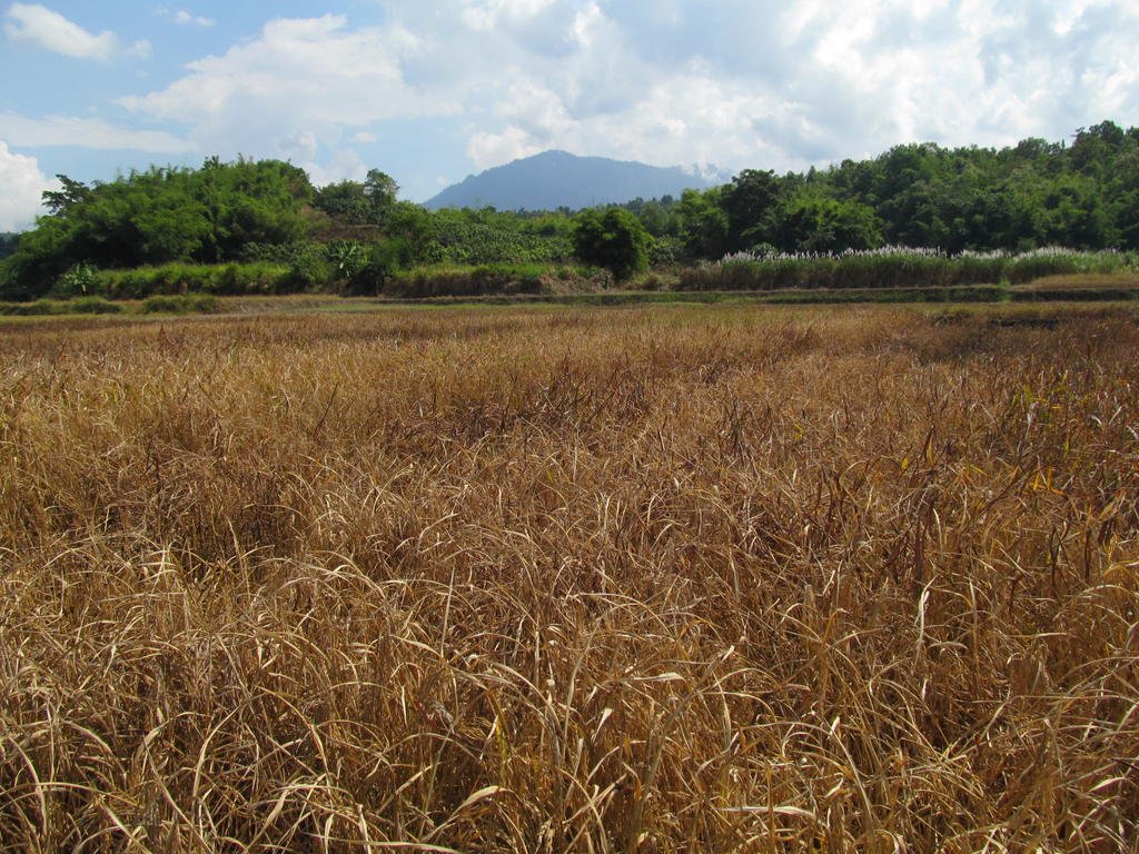
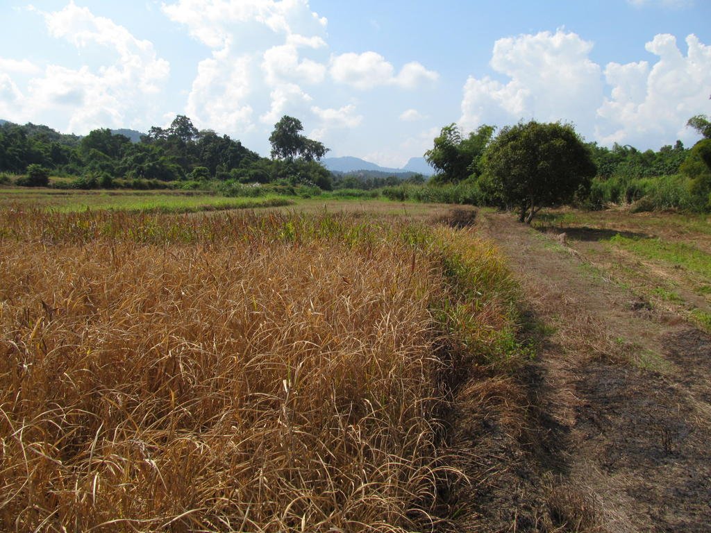

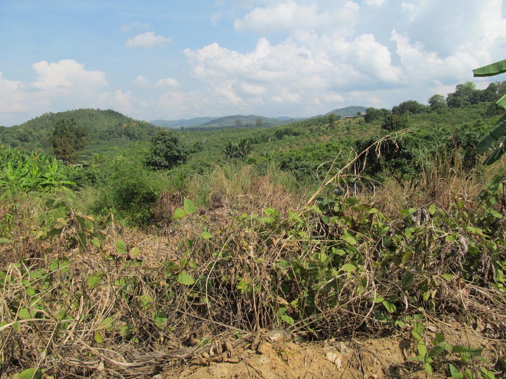
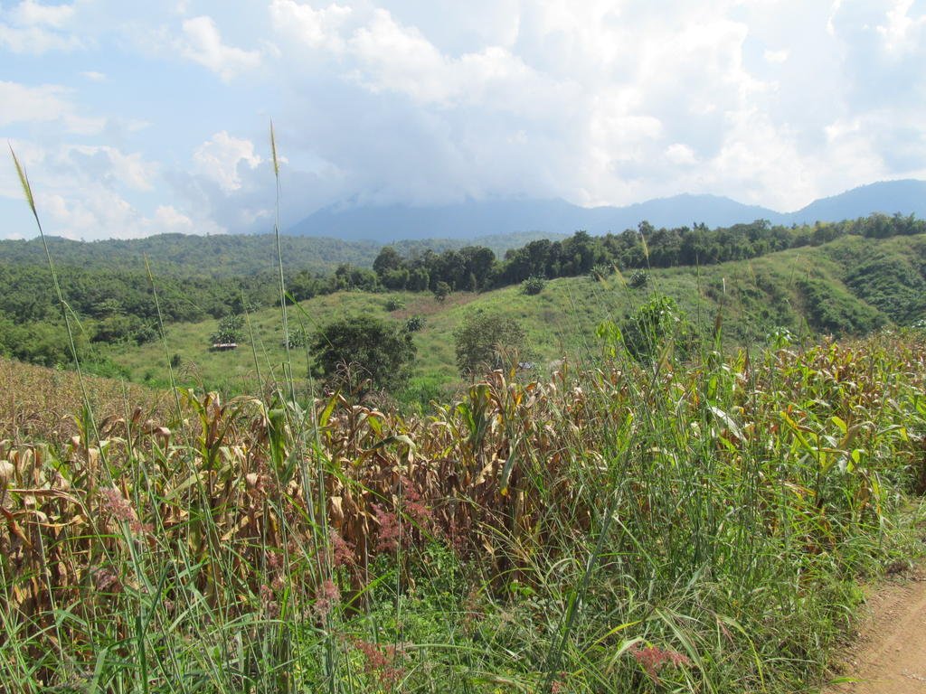
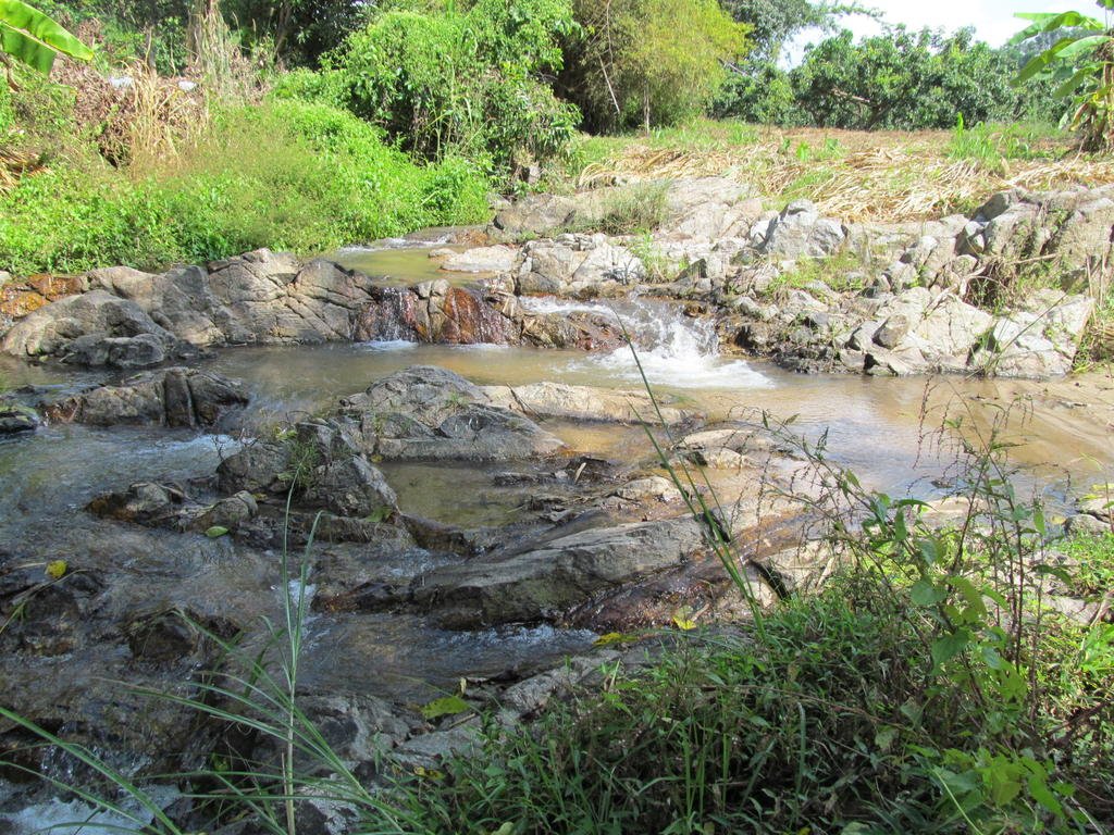
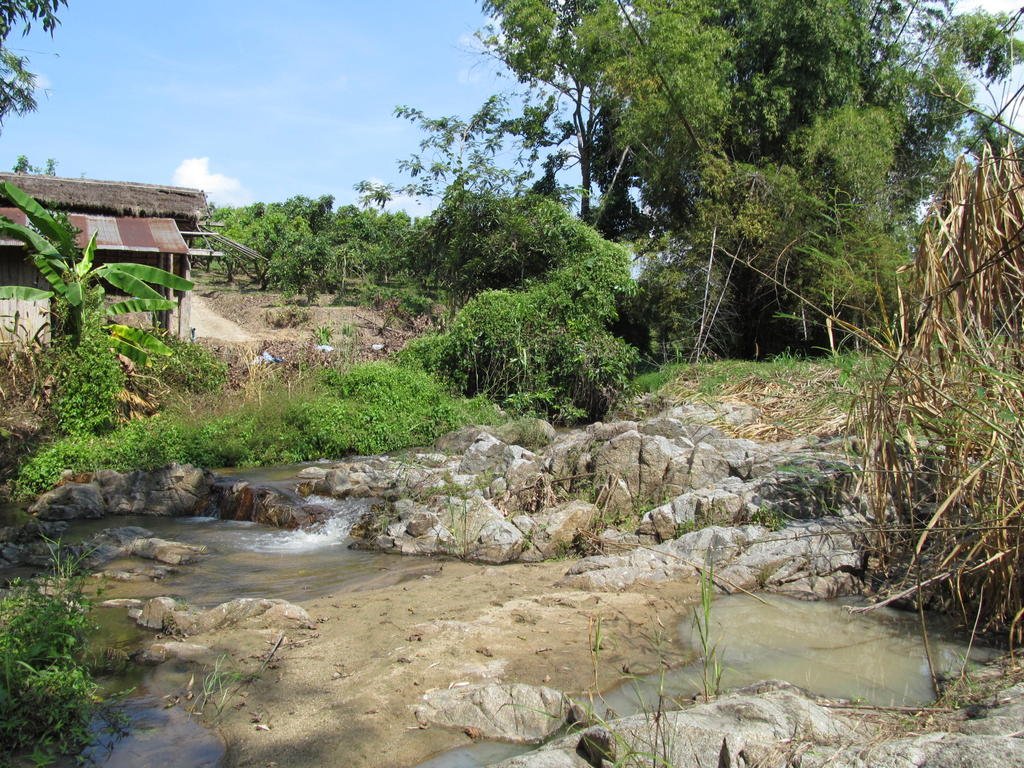
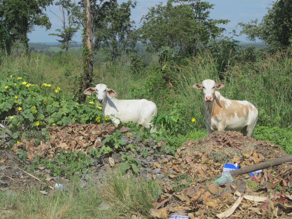
Todays track joined up with some tracks I mapped here a year ago so when they are put on the map there will be lots of loops and not dead ends
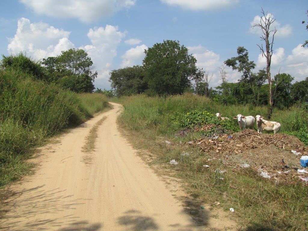
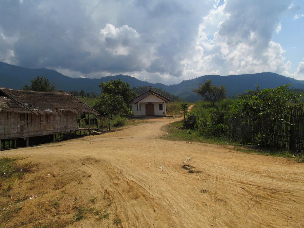
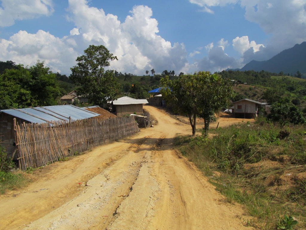
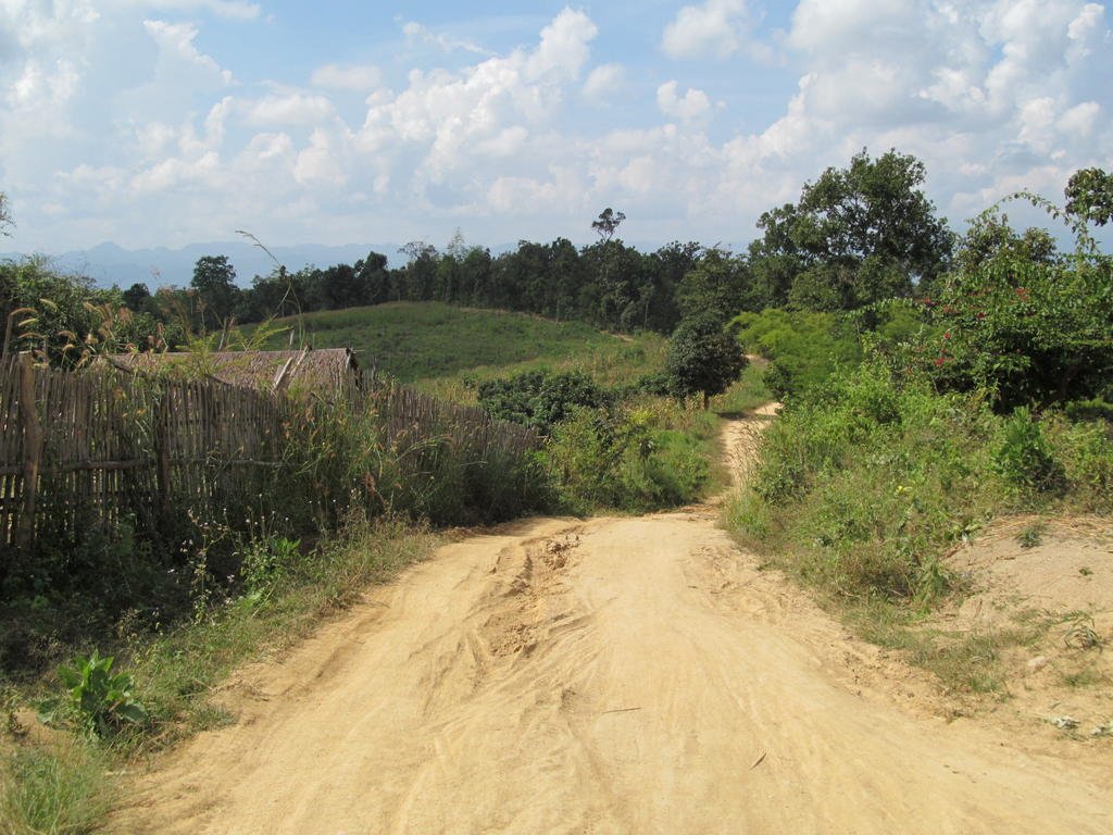
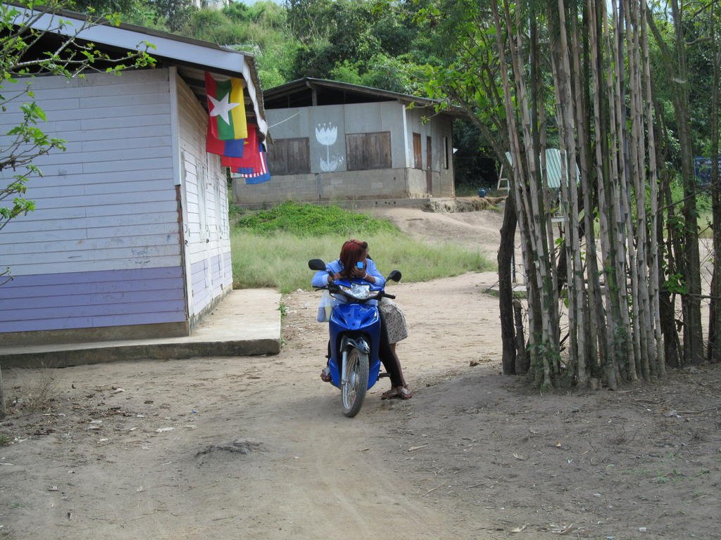
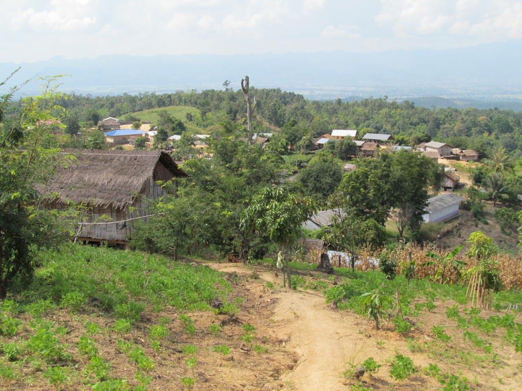
I happen upon this unexpected village at N19.68073 E099.21147
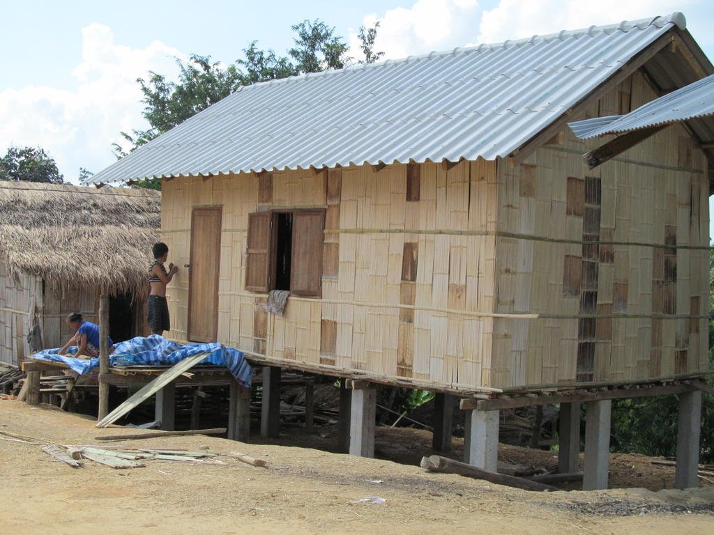
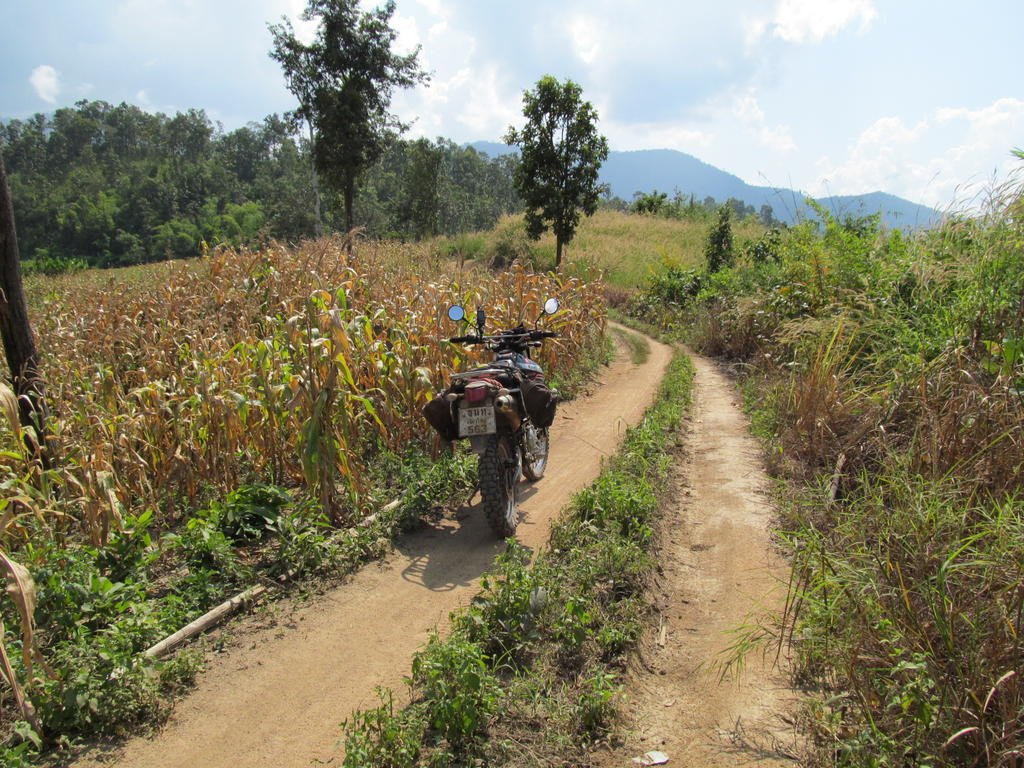
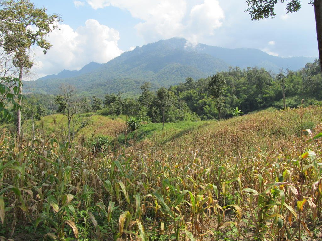
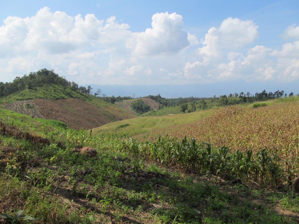
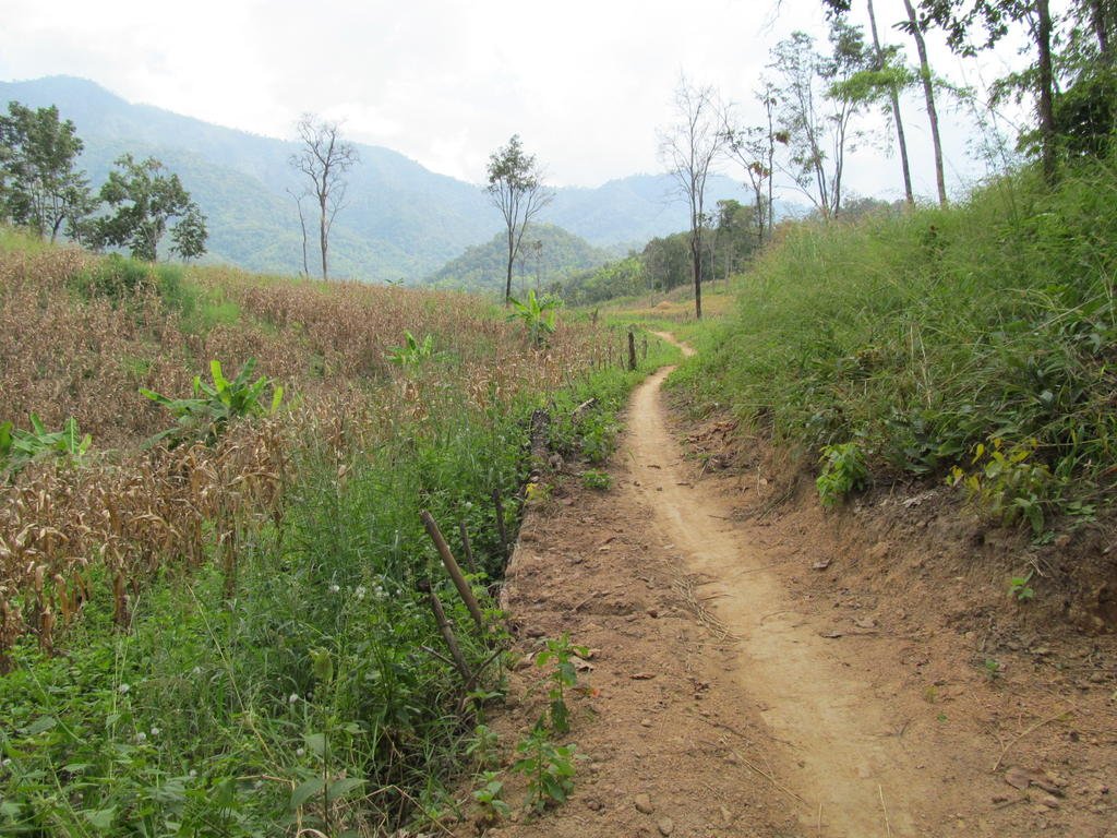
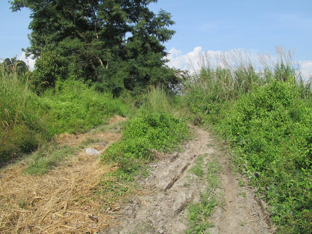
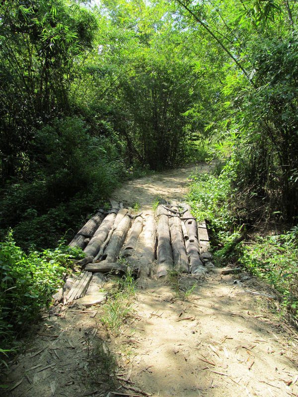
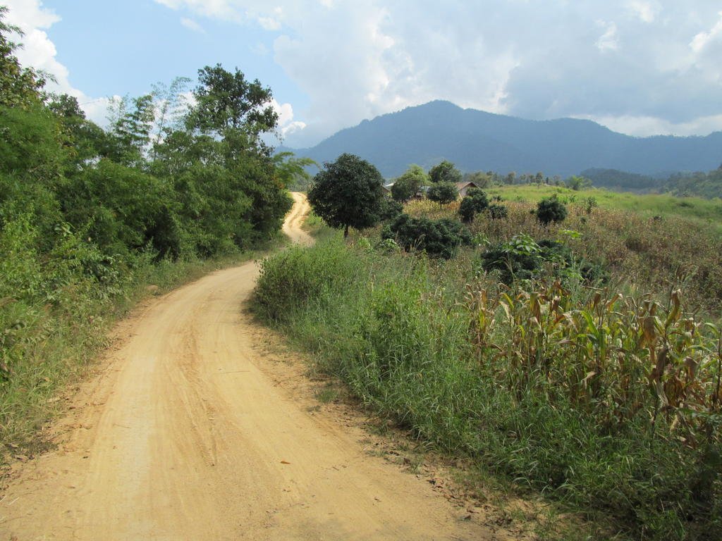
It turns to single track but its not a problem when its like this
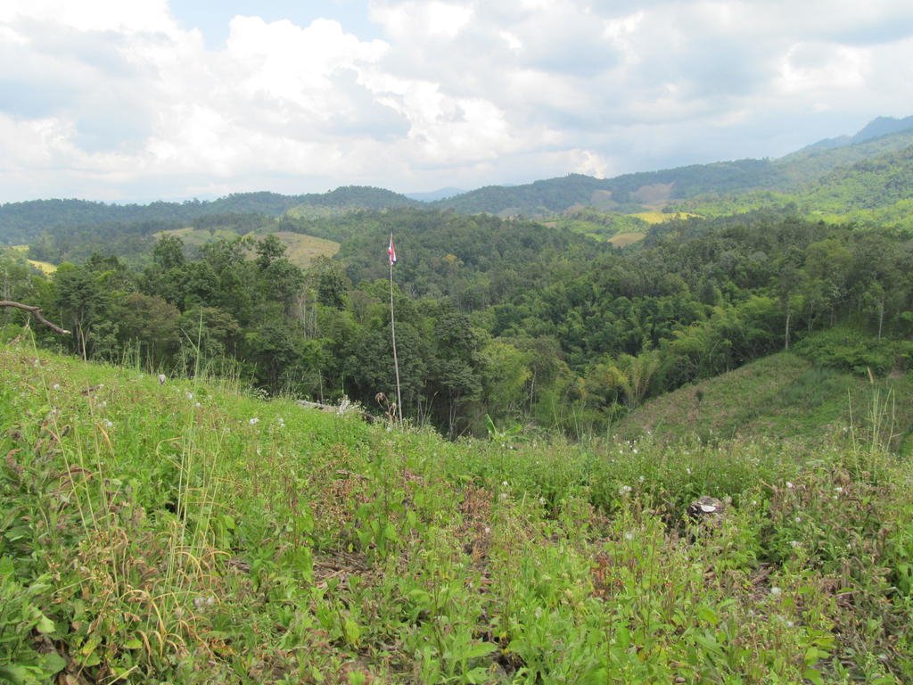
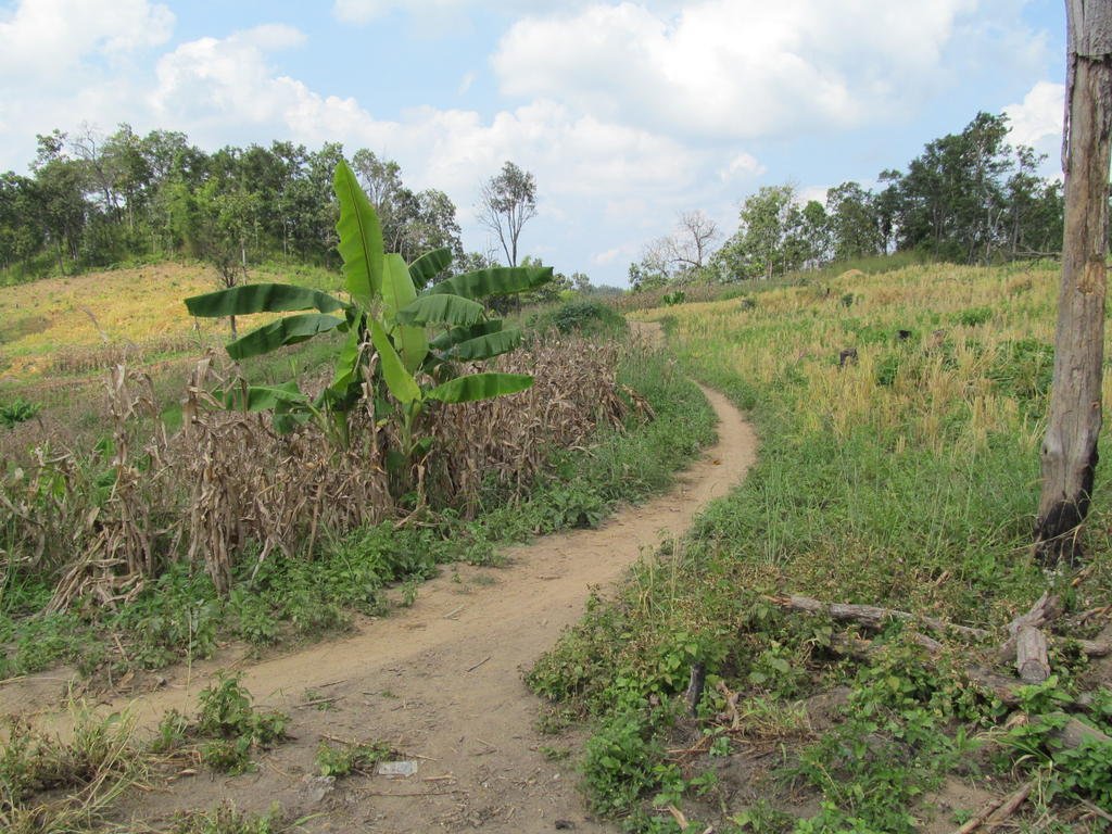
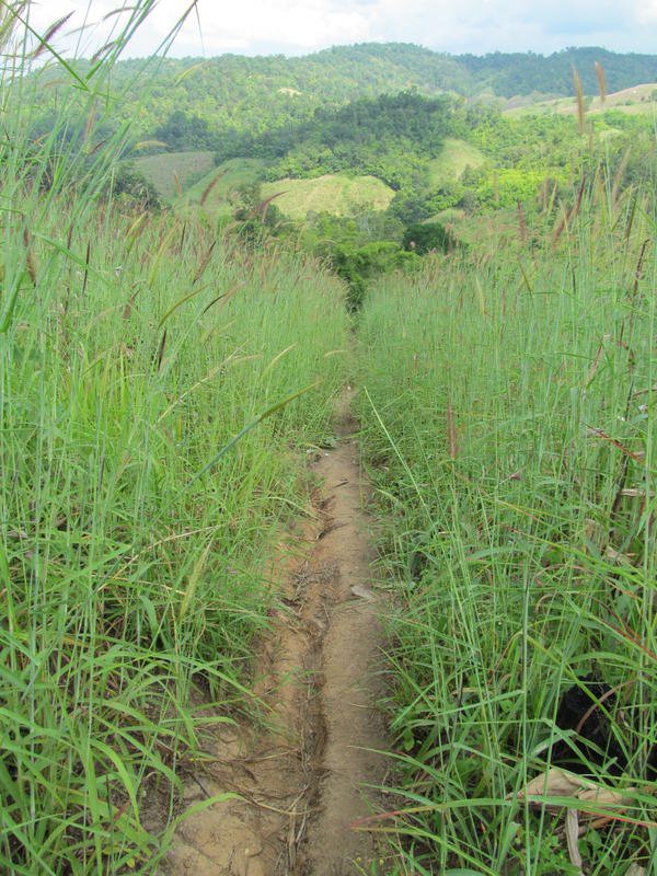
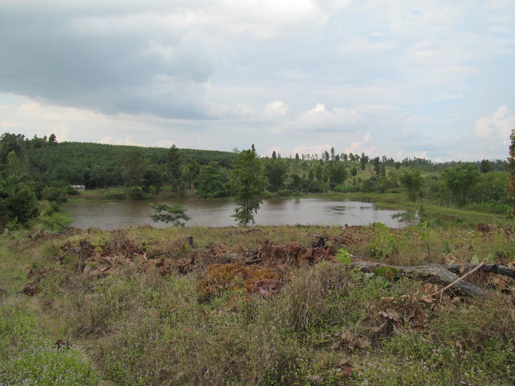
400 metres from linking up with a track I rode last year but I am not venturing down there
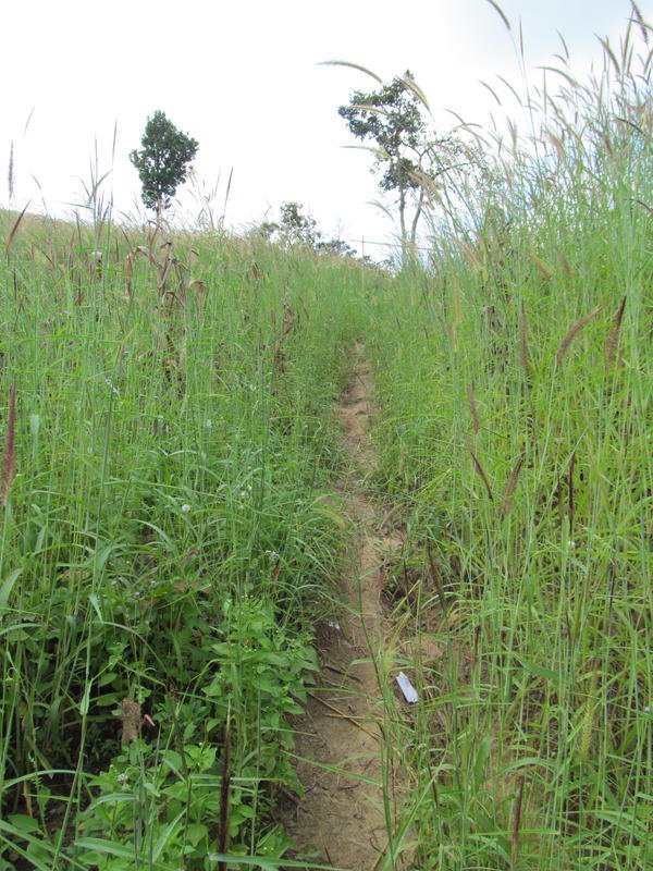

A charcoal plant out in the middle of nowhere
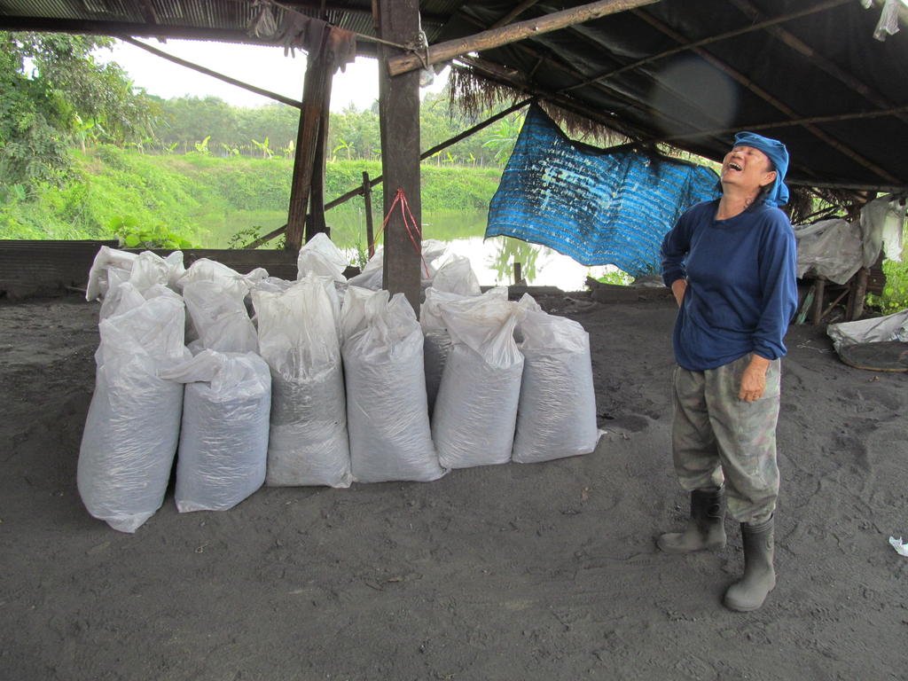

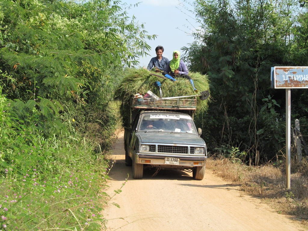
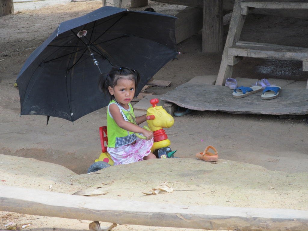
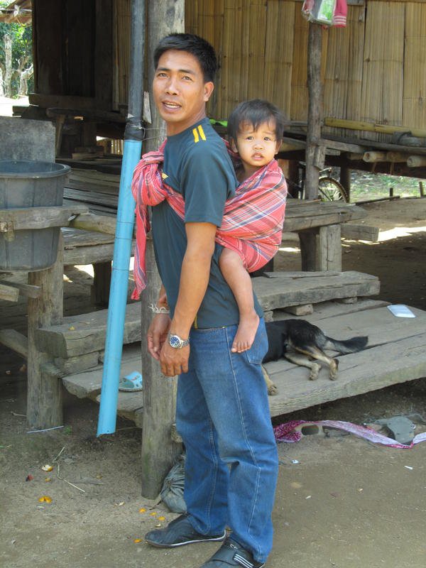
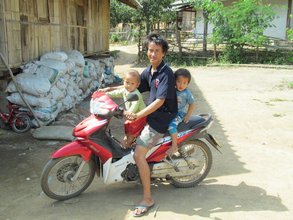
Some cheerful friendly characters out here today
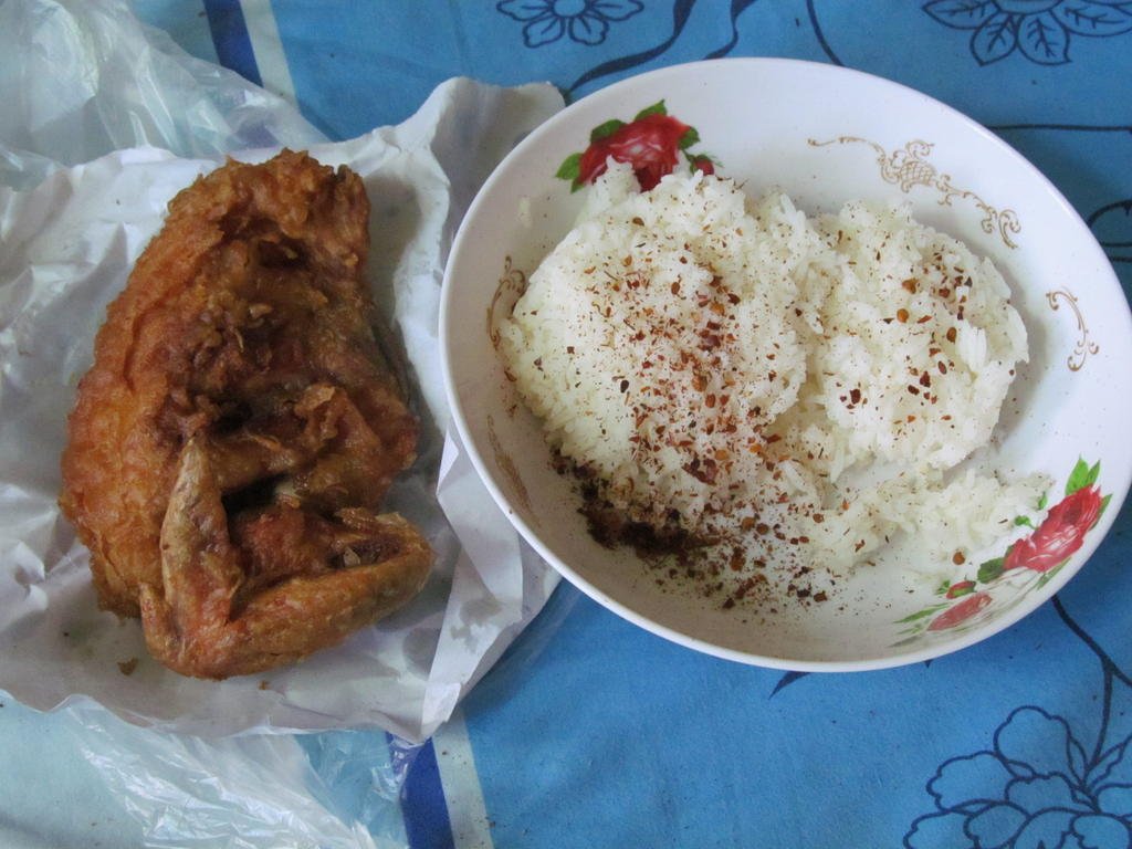
Food from the market tonight for 55 Baht
Total distance 116 km

I have uploaded todays photos directly onto the site rather than linked to Photobucket as I am hoping the picture quality will be better.
Last night I was looking through my photos after uploading them onto the computer and was a bit disappointed at how much lower quality they appeared to be after Photobucket had aquashed them down.

Here is the Photobucket photo for comparison, I will continue storing them in Photo bucket also as back up though

As I pulled up this young lady was tossing a snake out into the fields with two long sticks, it had been in their well when she went for water


N19.70510 E099.15341 to N19.71901 E099.15046
N19.71288 E099.15771 back to N19.71288 E099.15771
N19.70303 E099.15855 to N19.70825 E099.17160
Single track from N19.67426 E099.21785 back to N19.67426 E099.21785
Single track from N19.68057 E099.21481 back to N19.68057 E099.21481
Single track from N19.68097 E099.21430 back to N19.68097 E099.21430
On the ride back I noticed the paved surface started at N19.70825 E099.17160 so its been extended since I last rode there a year ago


Todays track joined up with some tracks I mapped here a year ago so when they are put on the map there will be lots of loops and not dead ends


I happen upon this unexpected village at N19.68073 E099.21147


It turns to single track but its not a problem when its like this


400 metres from linking up with a track I rode last year but I am not venturing down there


A charcoal plant out in the middle of nowhere


Some cheerful friendly characters out here today


Food from the market tonight for 55 Baht

