Lone Rider
Blokes Who Can
Attapeu to create river access to Sky Lake

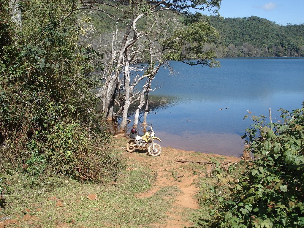
Nong Fa, a lake in the hills of Attapeu Province, is a next stop in Central Laos. Photo/Vientiane Times
Nong Fa, a lake in the hills of Attapeu Province, is a next stop in Central Laos.
Deputy Director of the Attapeu provincial Information, Culture and Tourism Department, Kongchak Sisavad told Vientiane Times lately that the province's governor had approved a proposal to develop a water route to the lake. The province's Administration Office is now planning to sign an agreement with a local company to survey a water route via the Xekhaman River. "The proposed route is about 50 kilometres long, and it would take a one-hour boat ride to travel from Sammakhixay District to the lake," Kongchak said. The road route to the lake is about 170 kilometers long, but one section of about 70 kilometers is difficult to negotiate in the wet season.
Source: Attapeu-to-create-river-access-to-Sky-Lake
Note LR: Hope that the Information, Culture and Tourism Department informs the military that they have this plan as the military often block access to the Sky Lake at their check point located about 11 km. north of the turnoff to the lake from Rd. 18A.
Some additional info on Nong Fa or Nong Kai Ork in Attapeu Province - Coordinates: N15.10618 E107.41880
At the amid of Dong Ampham's Forest and surrounded by mountains, at 2-day walk from Sanxay District in the northeast of Attapeu is located the source of the Xe Kaman river, the Nong Fa's lake(or Blue lake).
Lonely Planet describes it as "a magical and beautiful volcanic lake", similar but also larger than the Yeak Lorn's lake at Ratanakiri's Province in Cambodia. The lake is shrouded in legends, and laotians refrain from bathing in this lake because they believe it is inhabited by a giant snake who devour its bathers.


