Captain_Slash
Community Manager
- Joined
- Jun 28, 2011
- Bikes
- BMW 310GS Honda Wave 125 Honda MSX 125
Total distance 239 km
Photos and text last to first
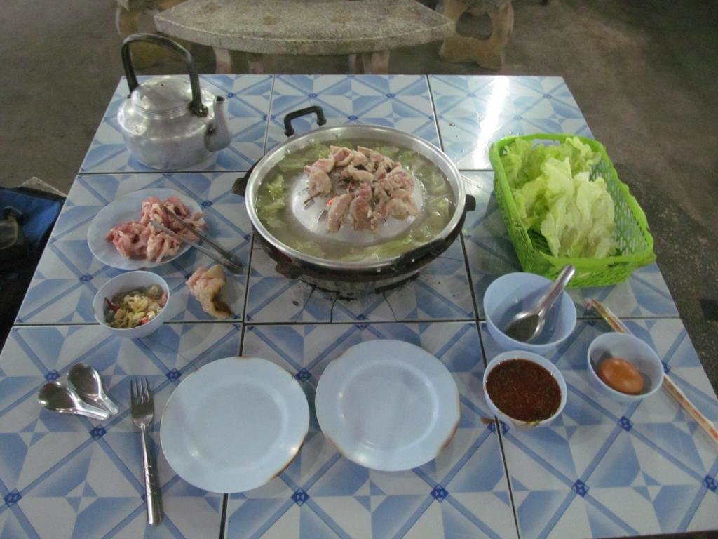
Mukata 149 Baht
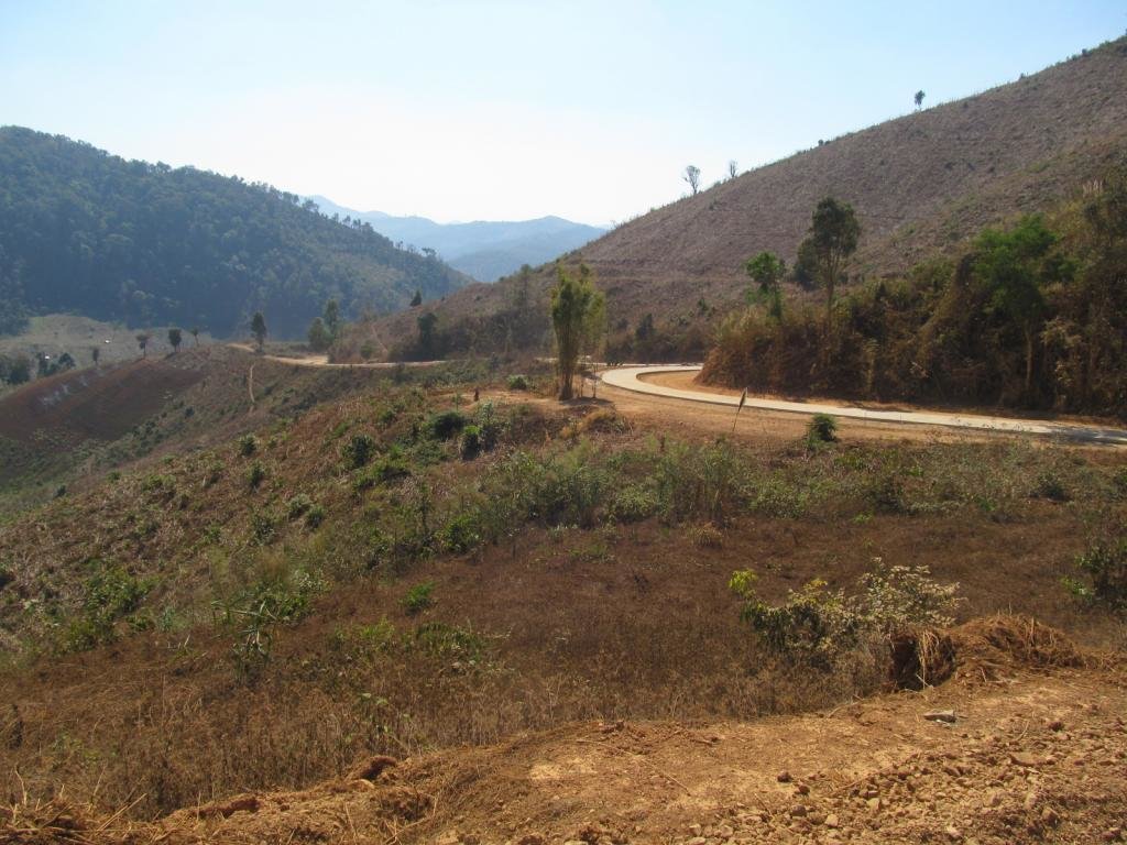
Bad news for us dirt lovers, the concreting gang must be on a bonus as its been concreted for a long way past the church.
Its my thought that it will be down to where the 4015 becomes the 1270 and then south along the 1270 then it will be paved all the way to the 108 junction with the 1270.
No sign of any surfacing further north of Huai Hom at the moment though which is good news.
The good news is with my todays find and hopefully finishing off tomorrow there is a dirt track to bypass what is being concreted
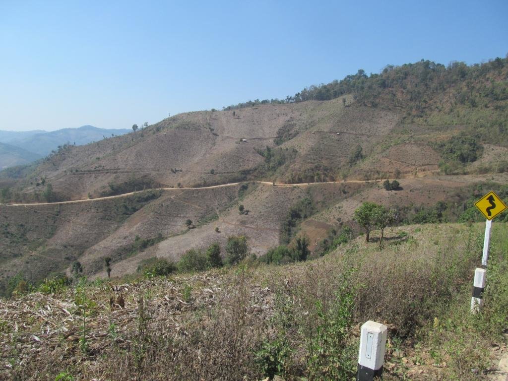
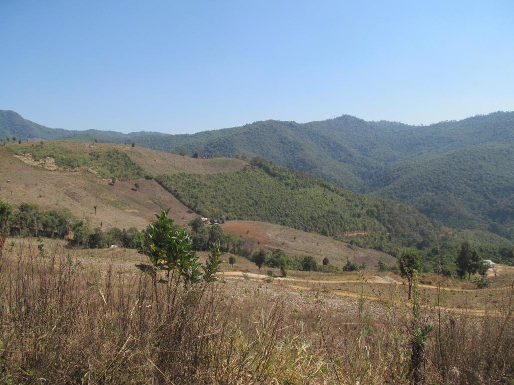
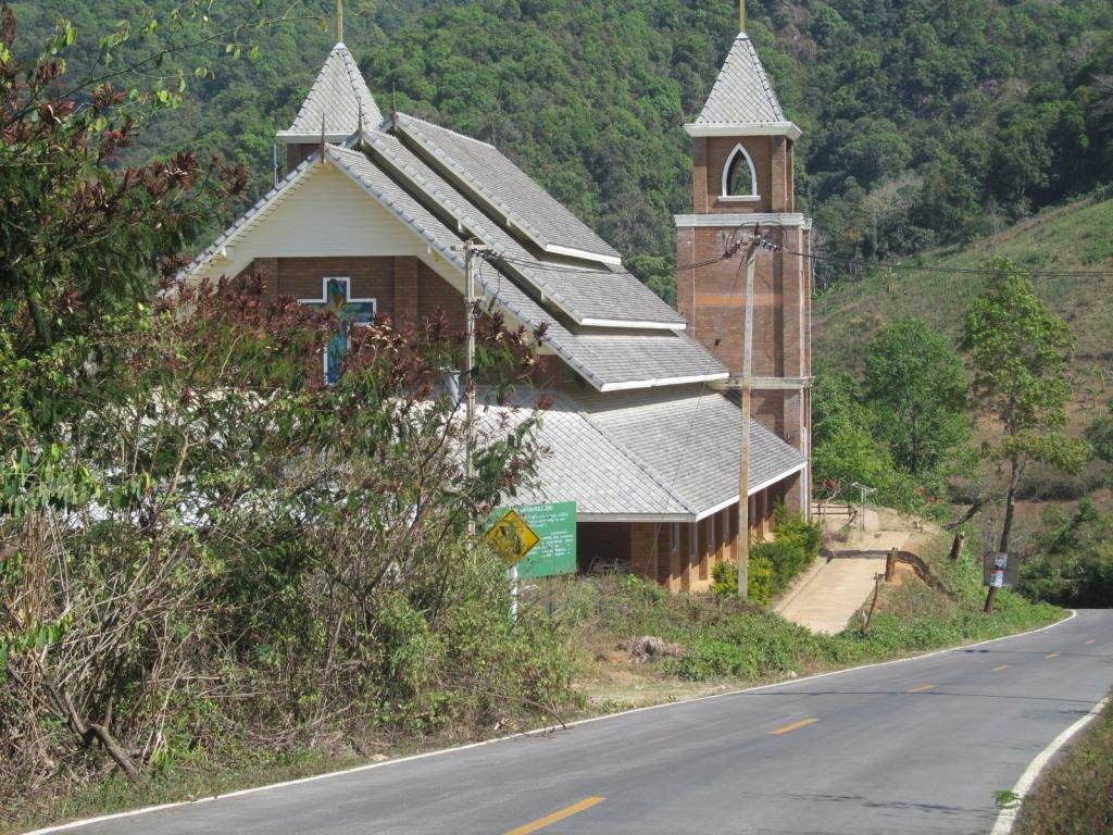
It joins the 4015 north of the big church
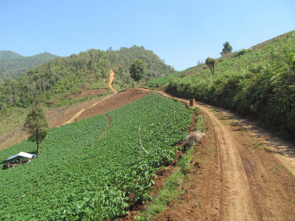
The dusty track going up into the hills was a brilliant find as it goes through to link up with a track on the NT gps map
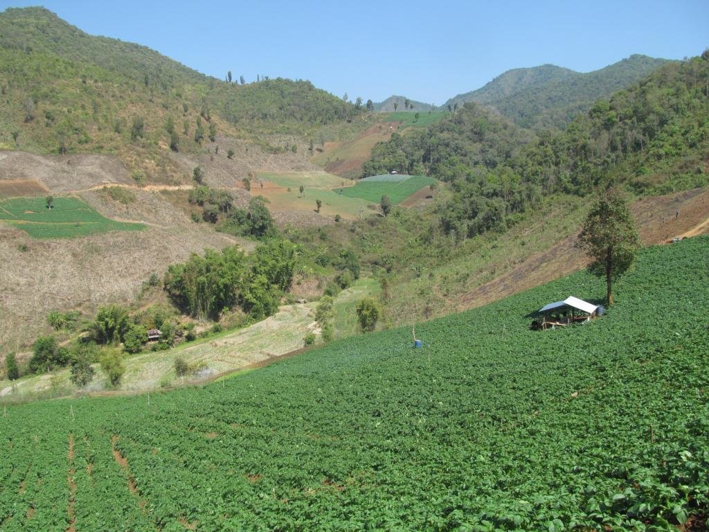
Plenty of potatoes here
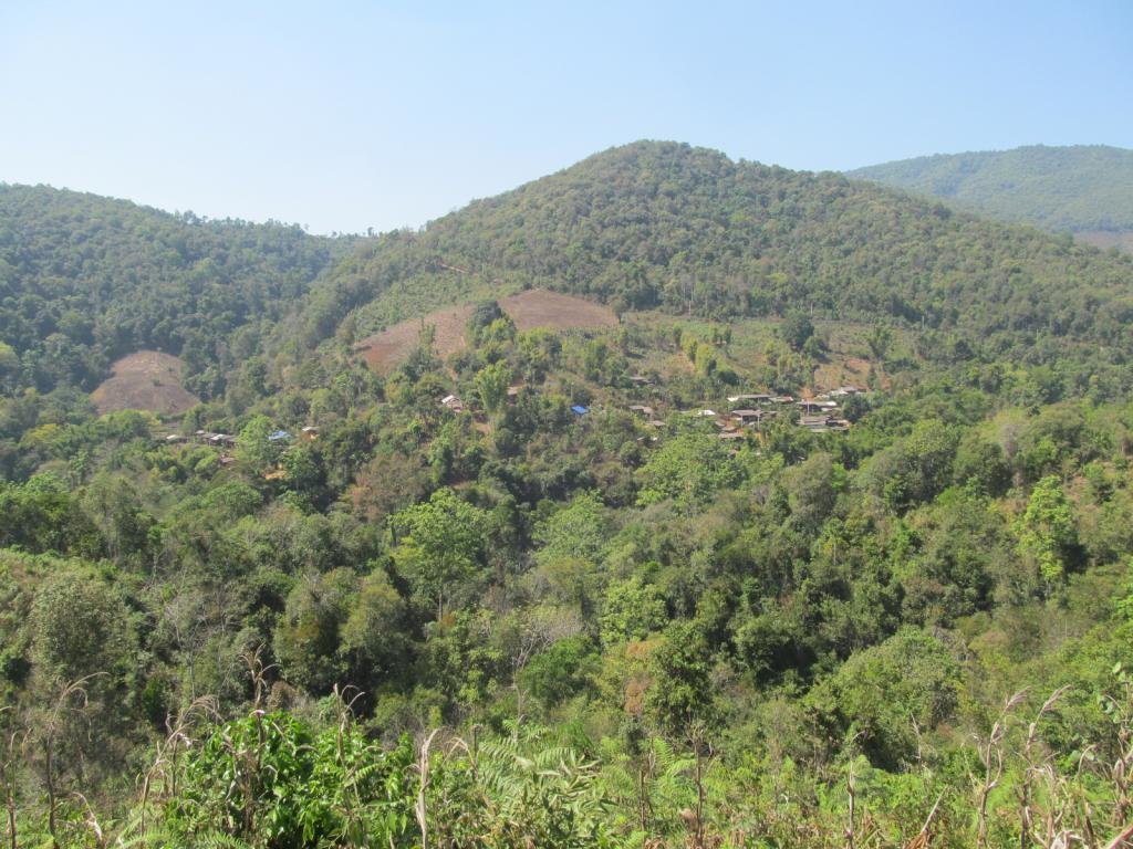
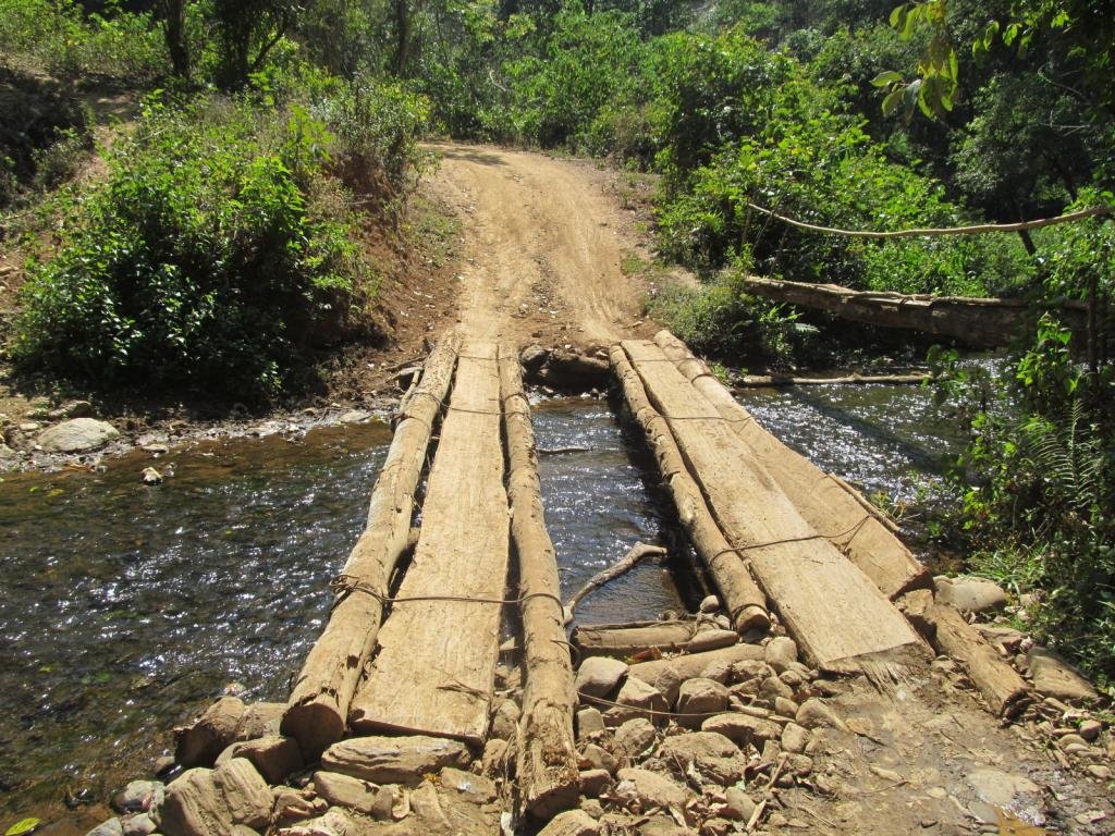
The road loops around back to the second village and I decide to explore the other track that crosses the river
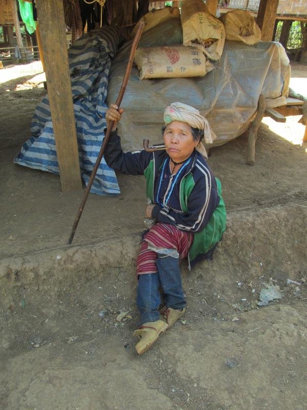
Back in the third village
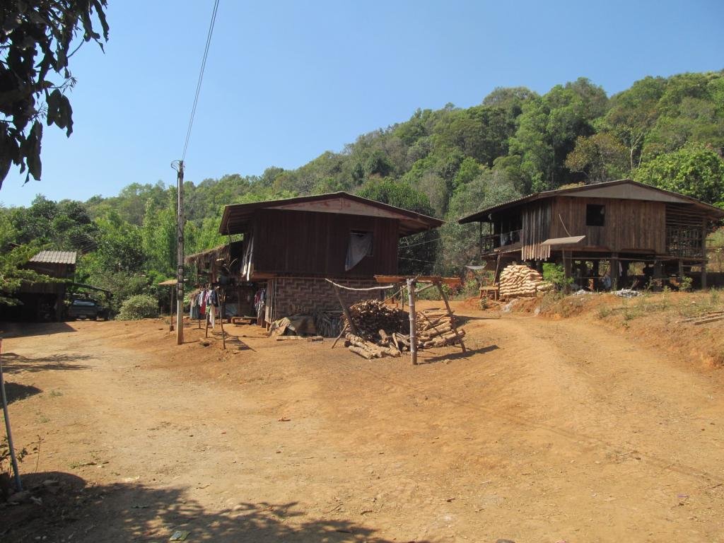
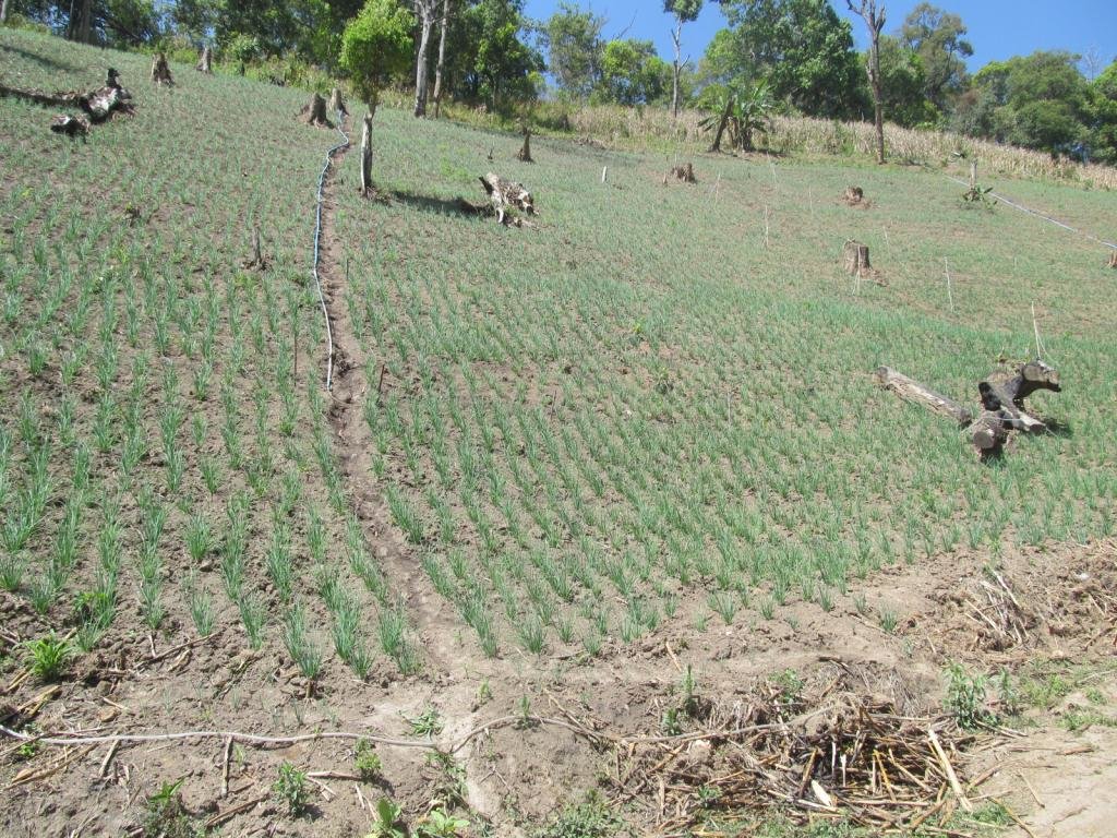
I ride a track past the church, it goes for a fair way then finishes at the onion field
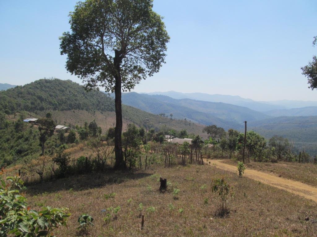
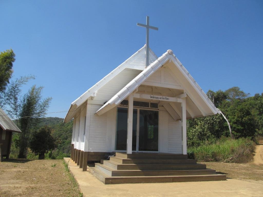
A church at the top of the hill where the third village is
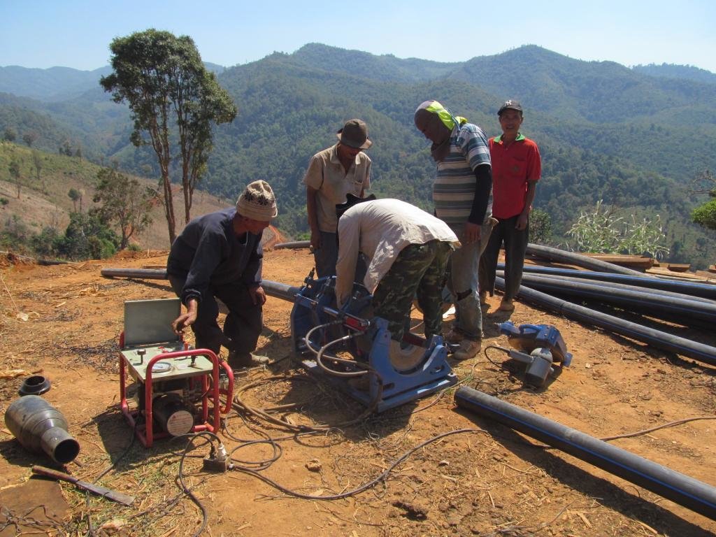
The track ran for ages and I met these sorting out irrigation up on the hill
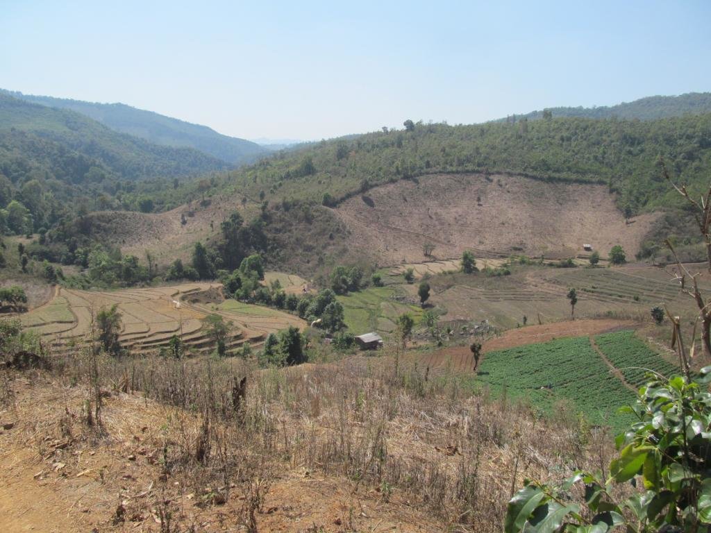
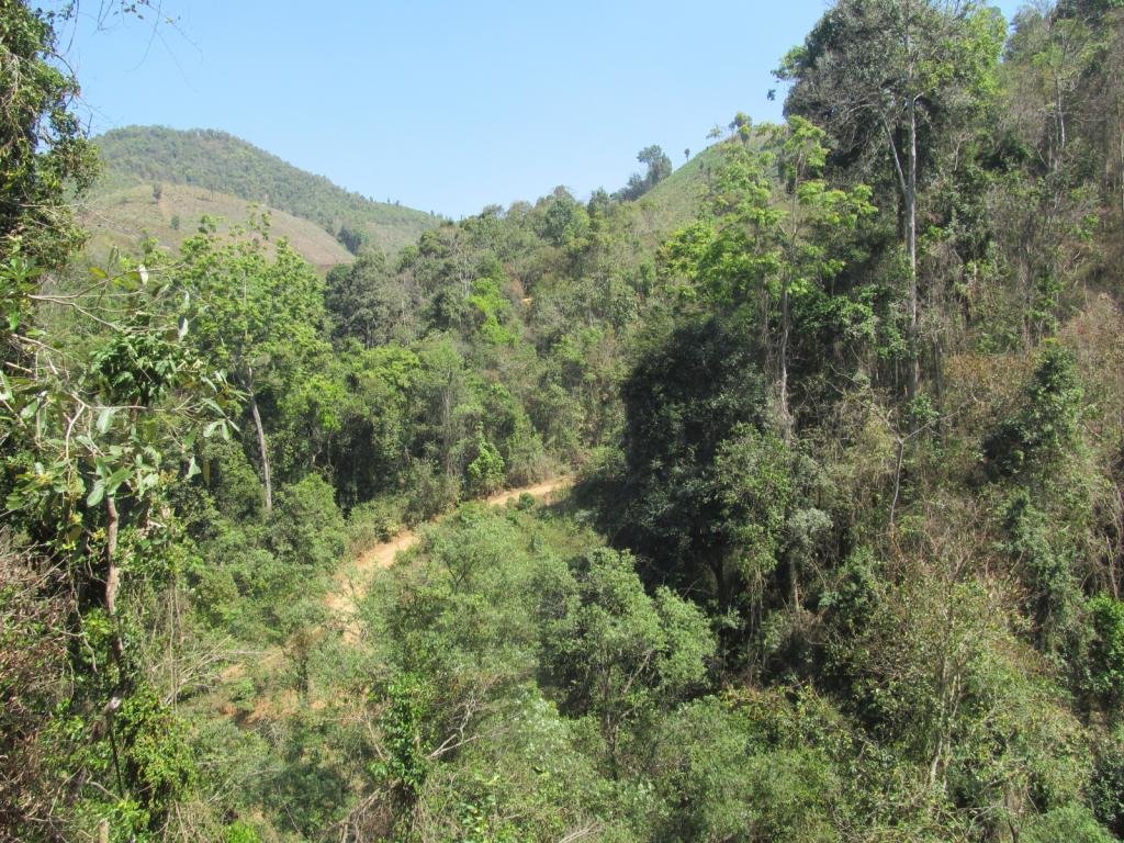
Another track on the other side of the river
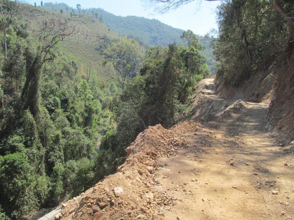
This track carried on out and I was expecting it to be a dead end

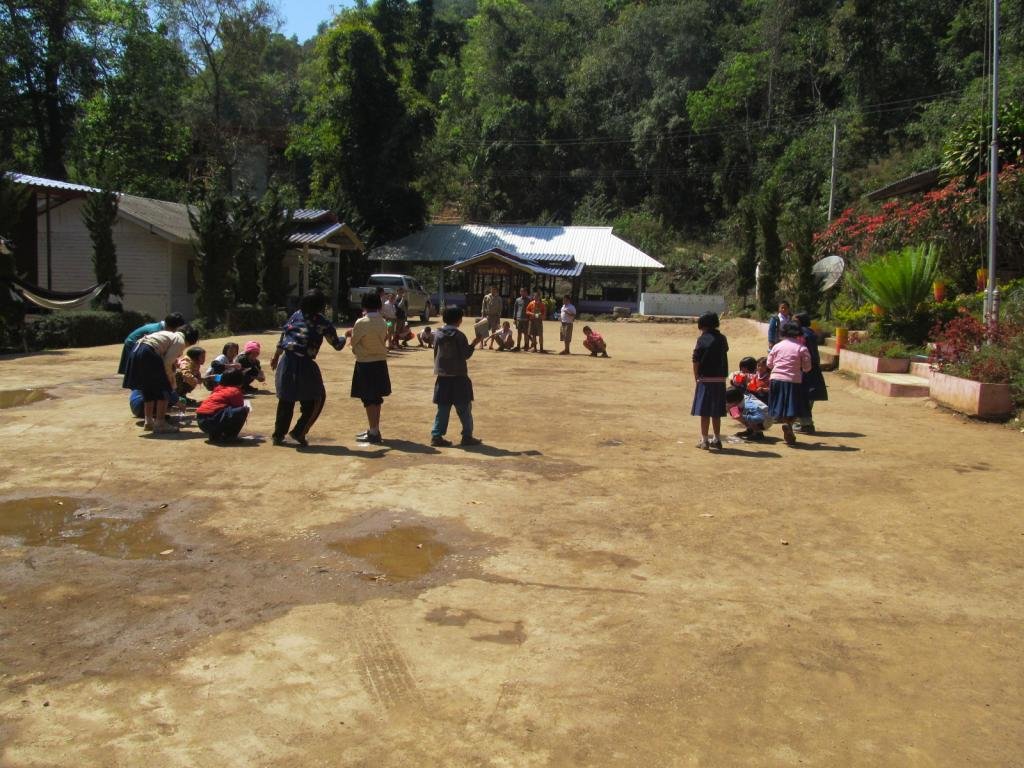
In the next village is the school.
The teacher tells me there are three villages all called Ban Mae Tum, her spelling but its pronounced Toom
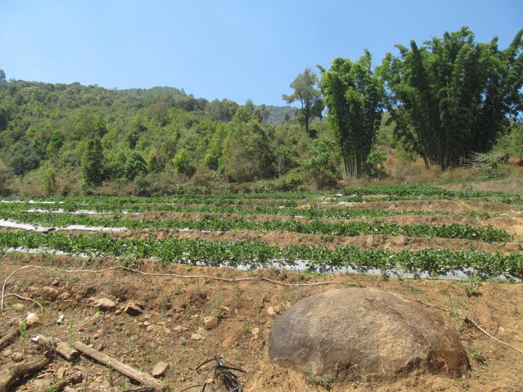
Strawberry fields forever
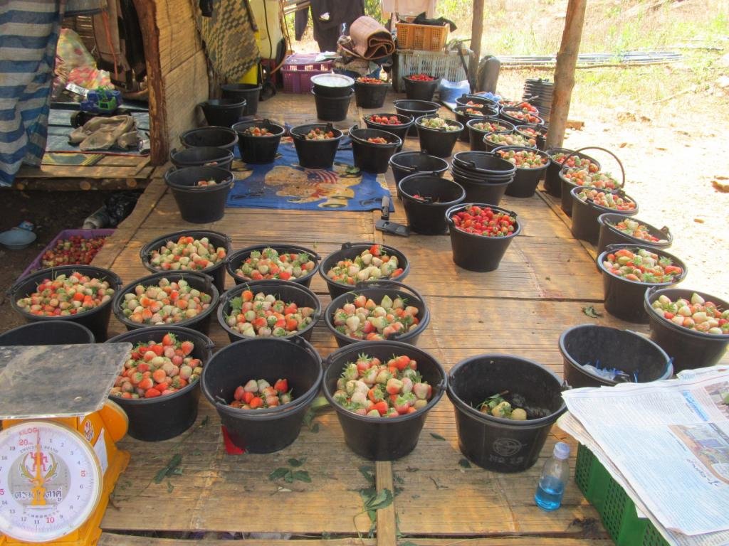
Lots of lovely strawberries
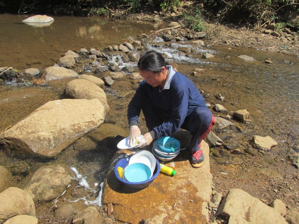
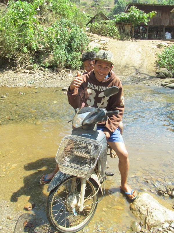
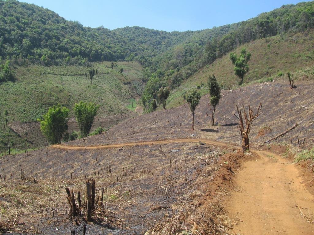
I ride through the water and explore the tracks on the other side
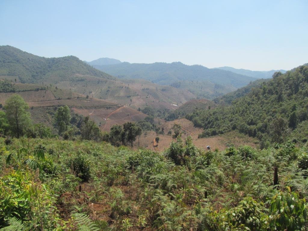

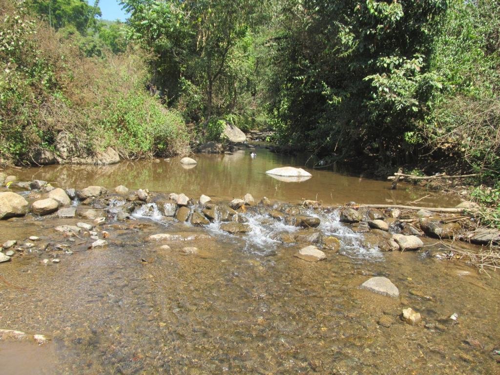
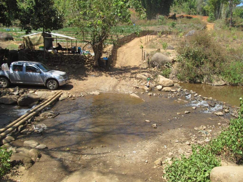
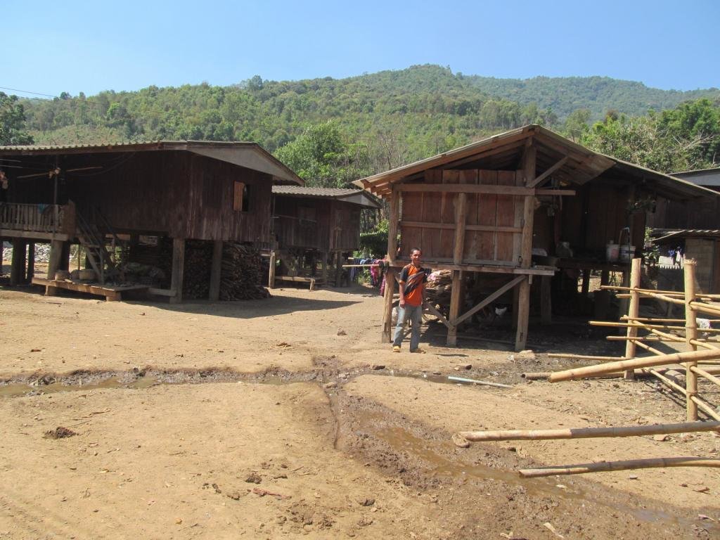
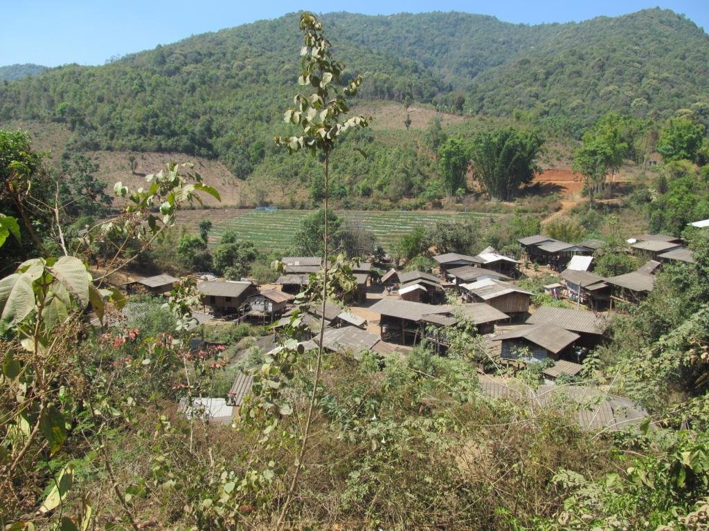
A village of old buildings is Ban Mae Tum
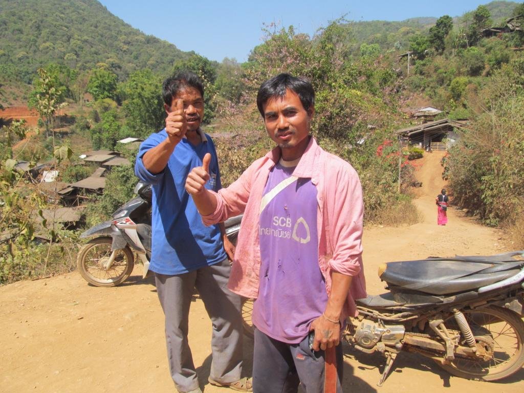
These two tell me there is another village further on but its a dead end, they need to check the dead end bit out for themselves as I found a way out
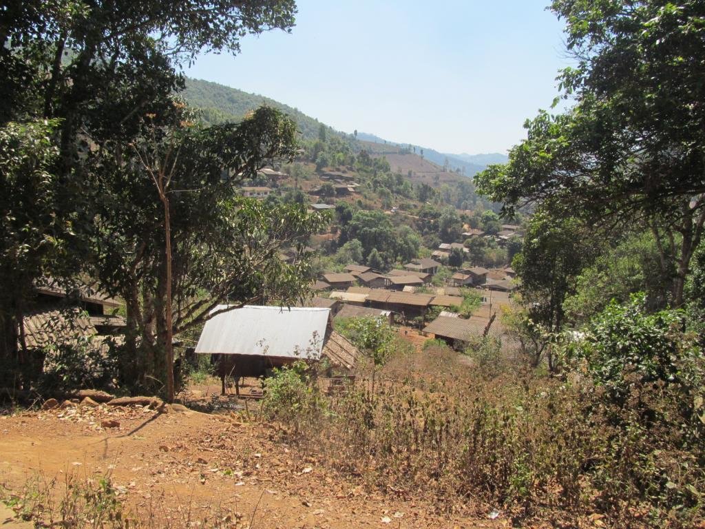
A large village ahead
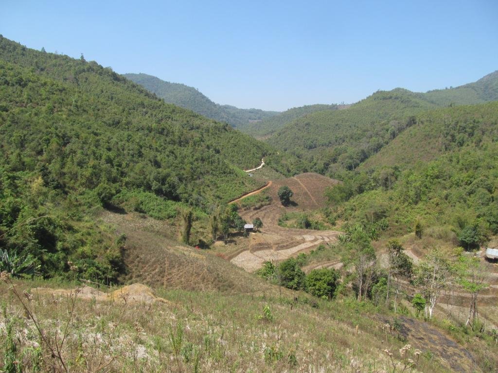
These tracks head west and don't show on any gps map that I have
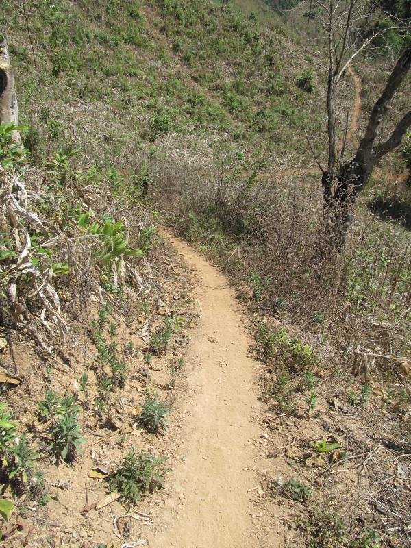
This takes me to the double track I could see so definitely a way out now
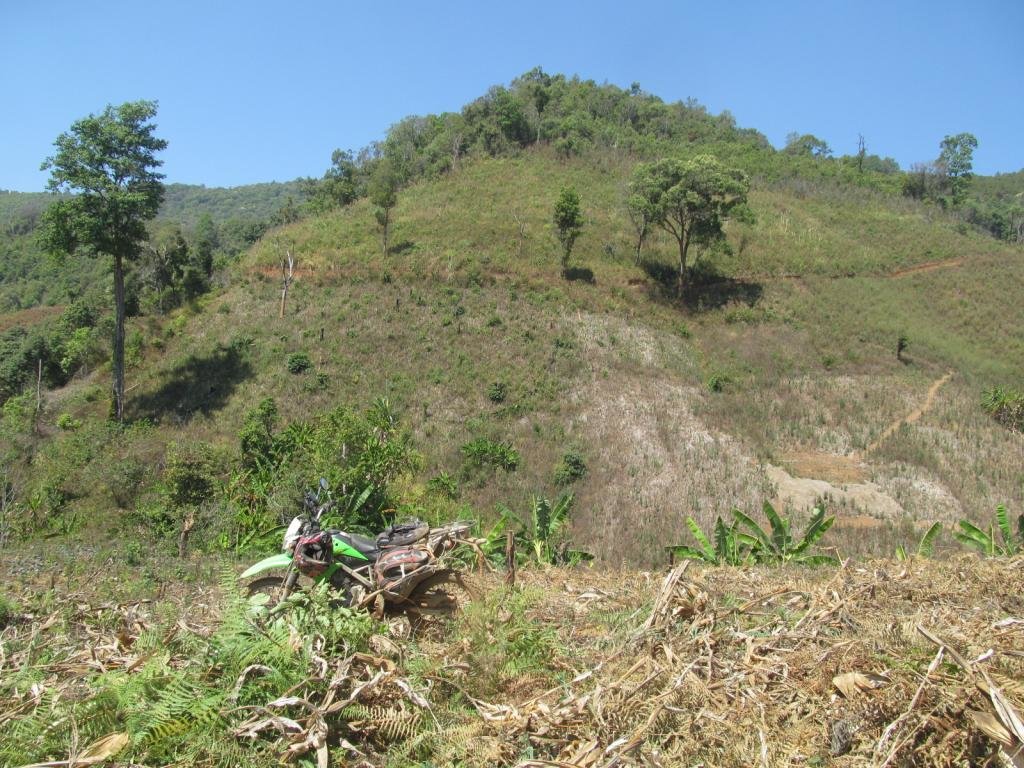
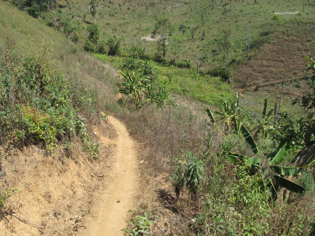
The other one ends and I take this single track
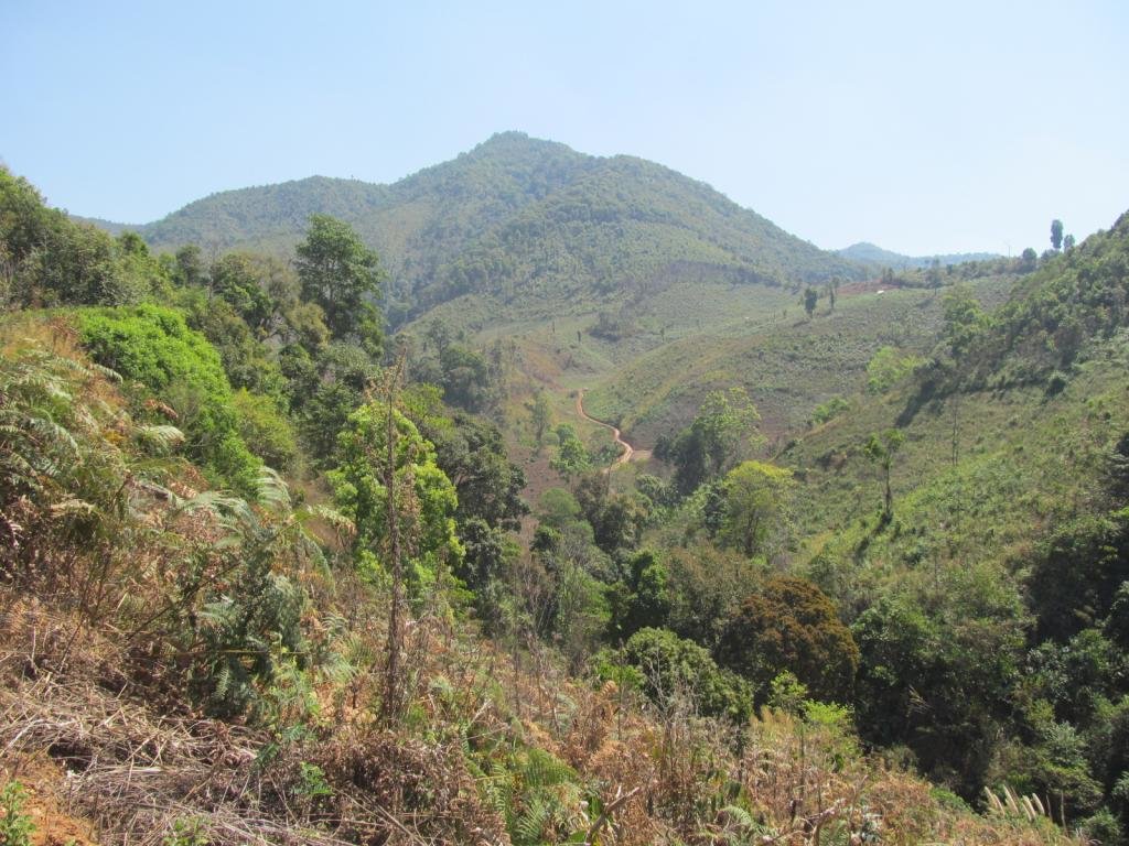
A track across the hills
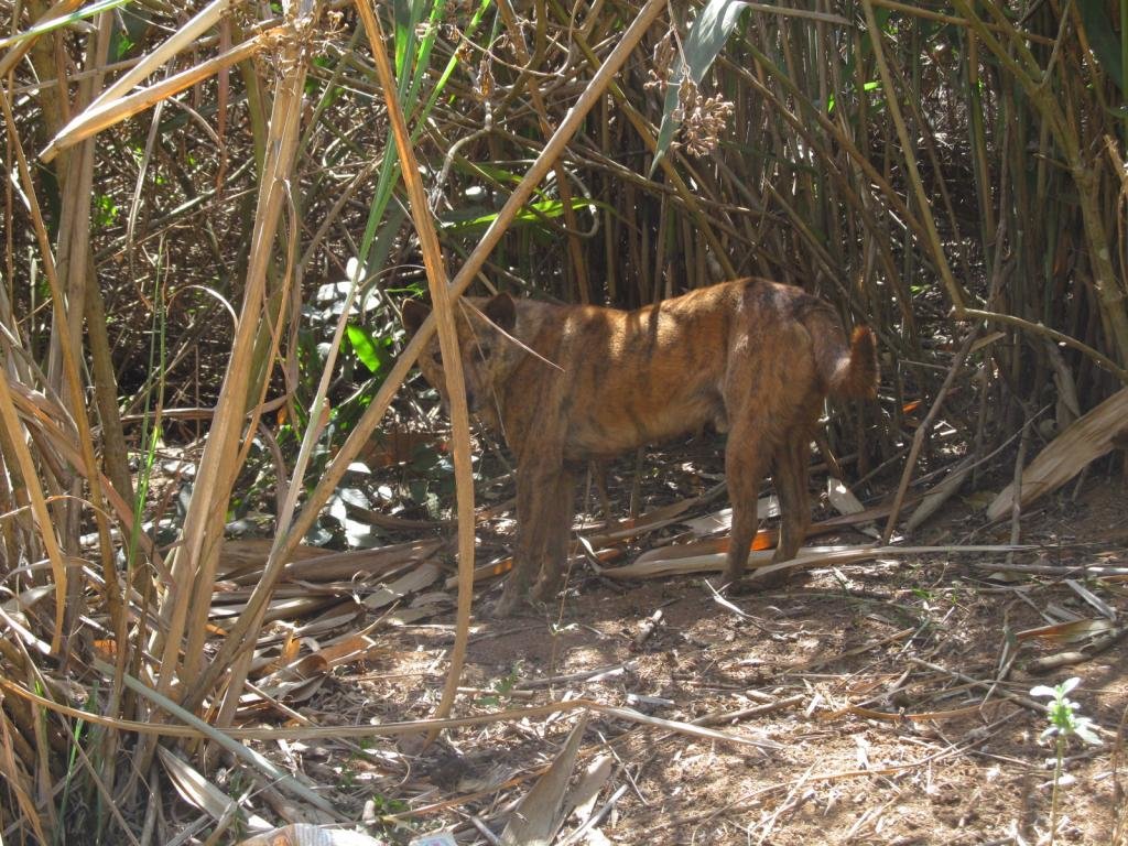
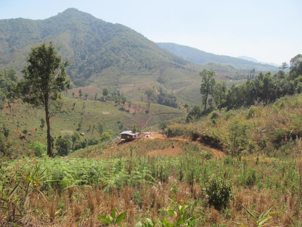
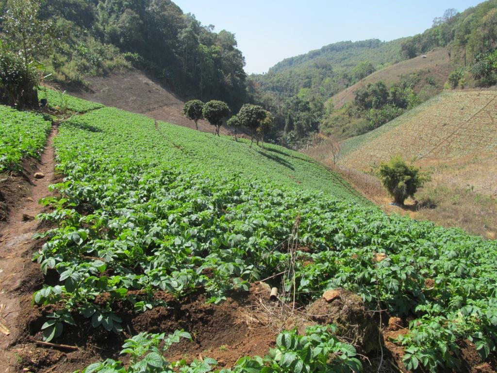
I take a side track which splits, one goes to this potato field
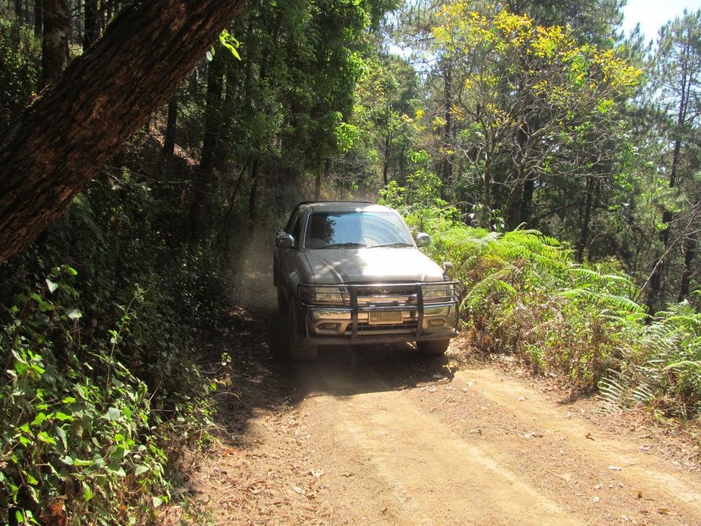
Seeing that makes me think this is a through track
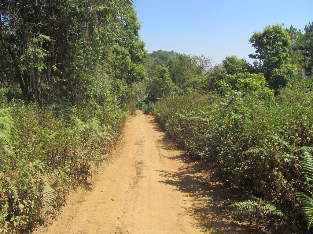
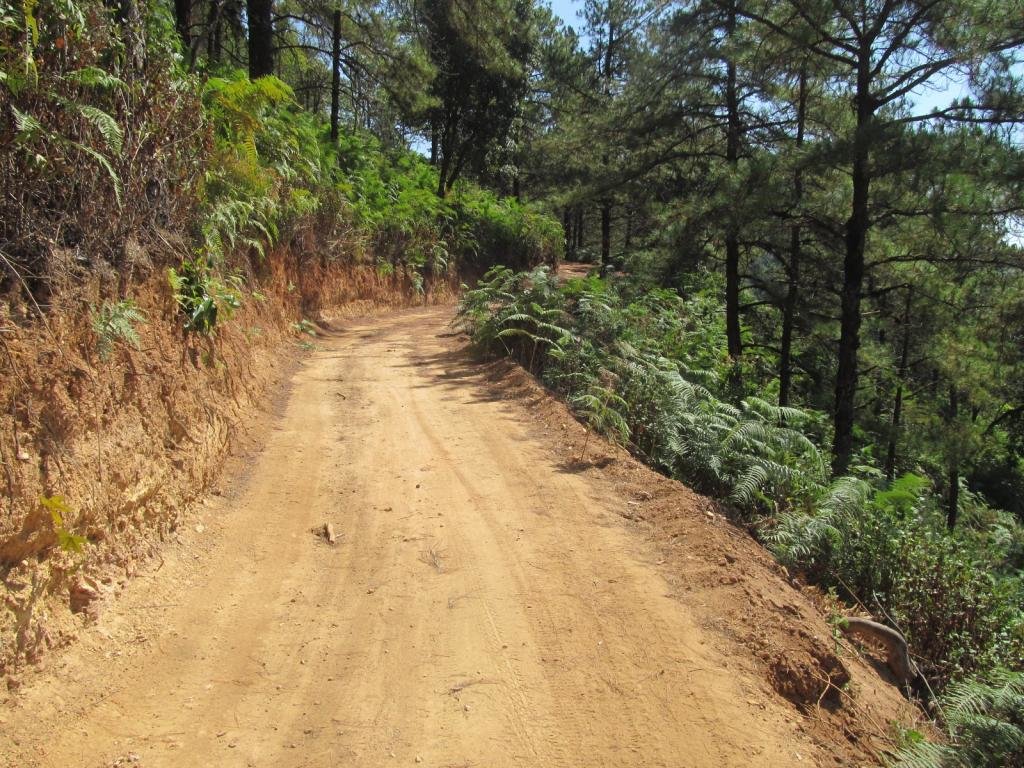
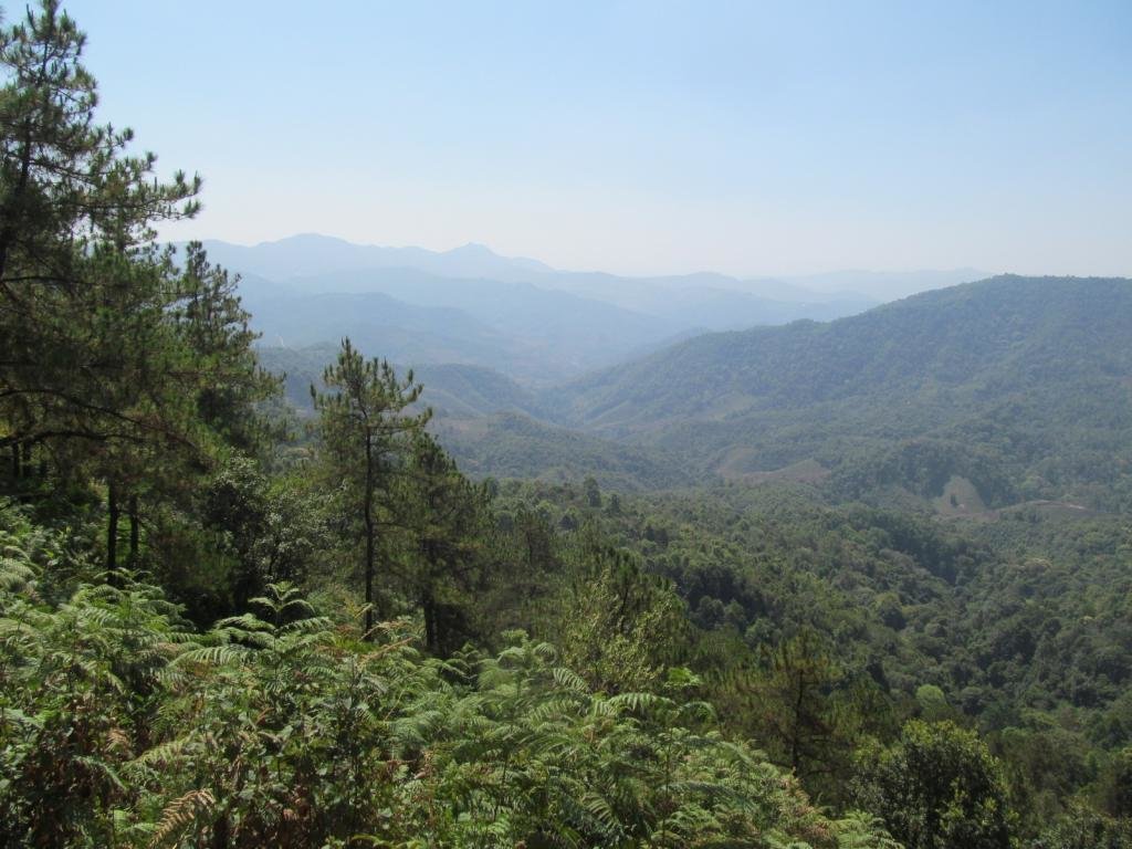
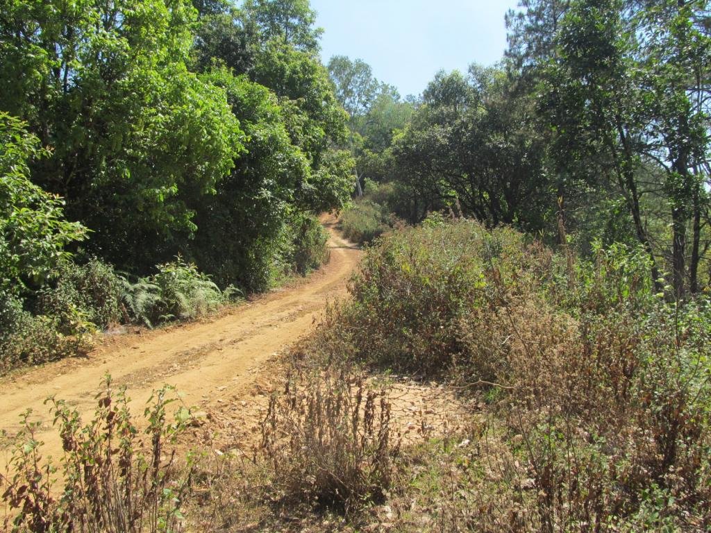
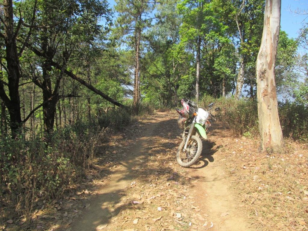
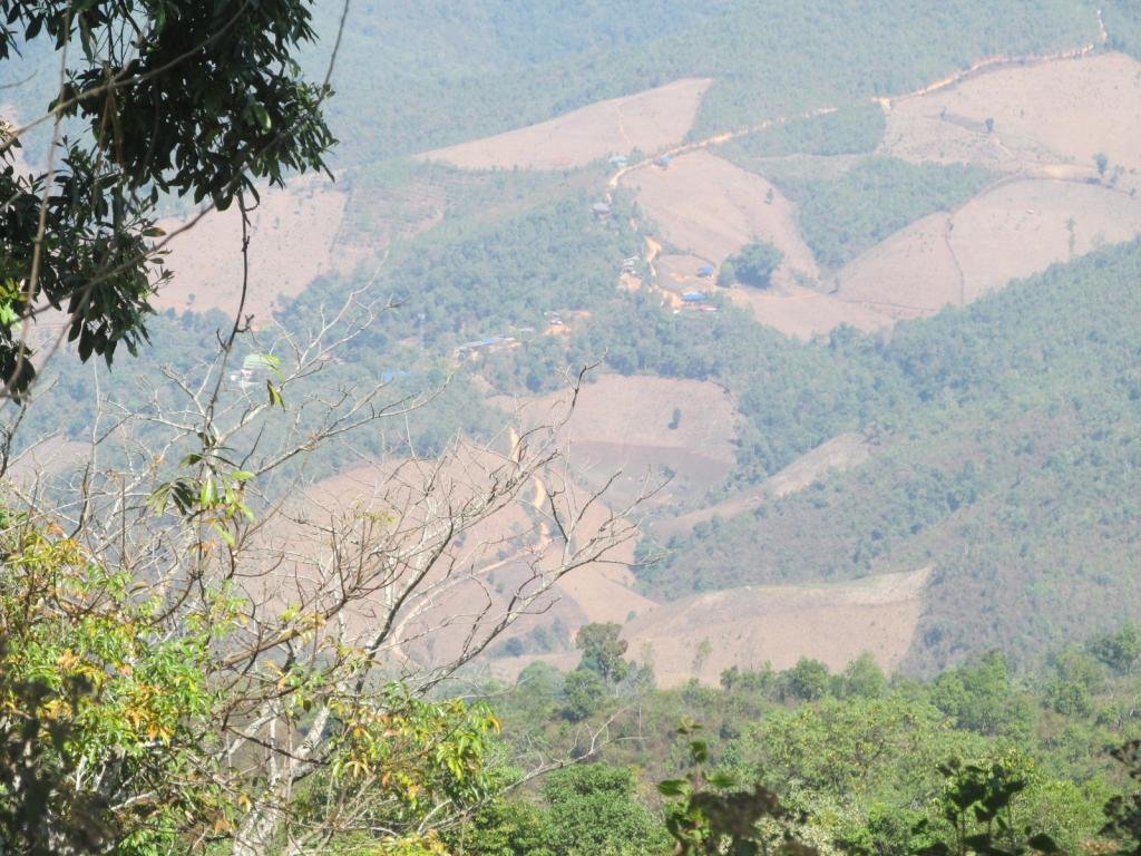
Lovely views from the top, there is a village out there which I was hoping to map but other things took the rest of the day so its now tomorrows mission
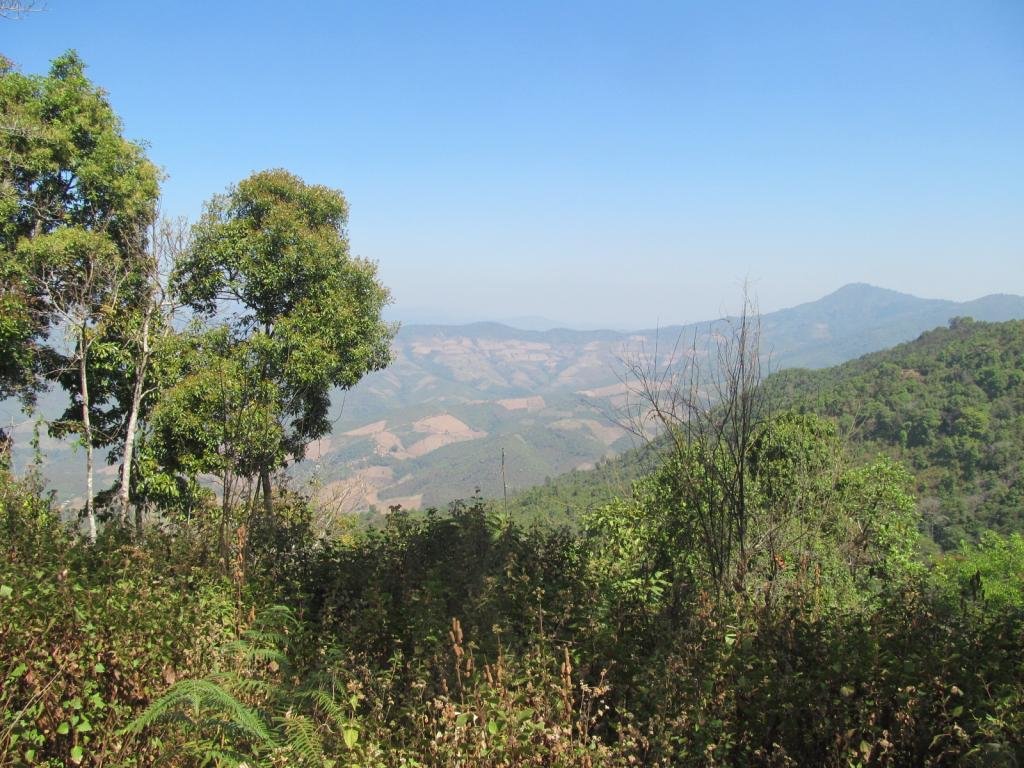
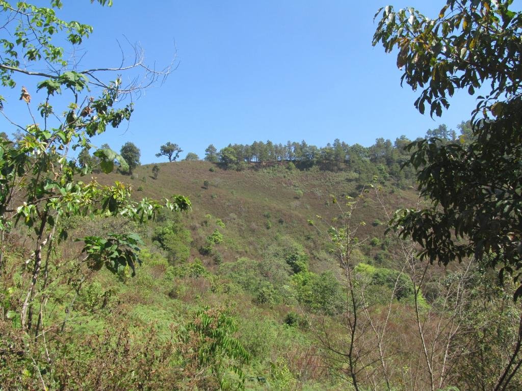
I need to get up there and hopefully the track I am following will take me there
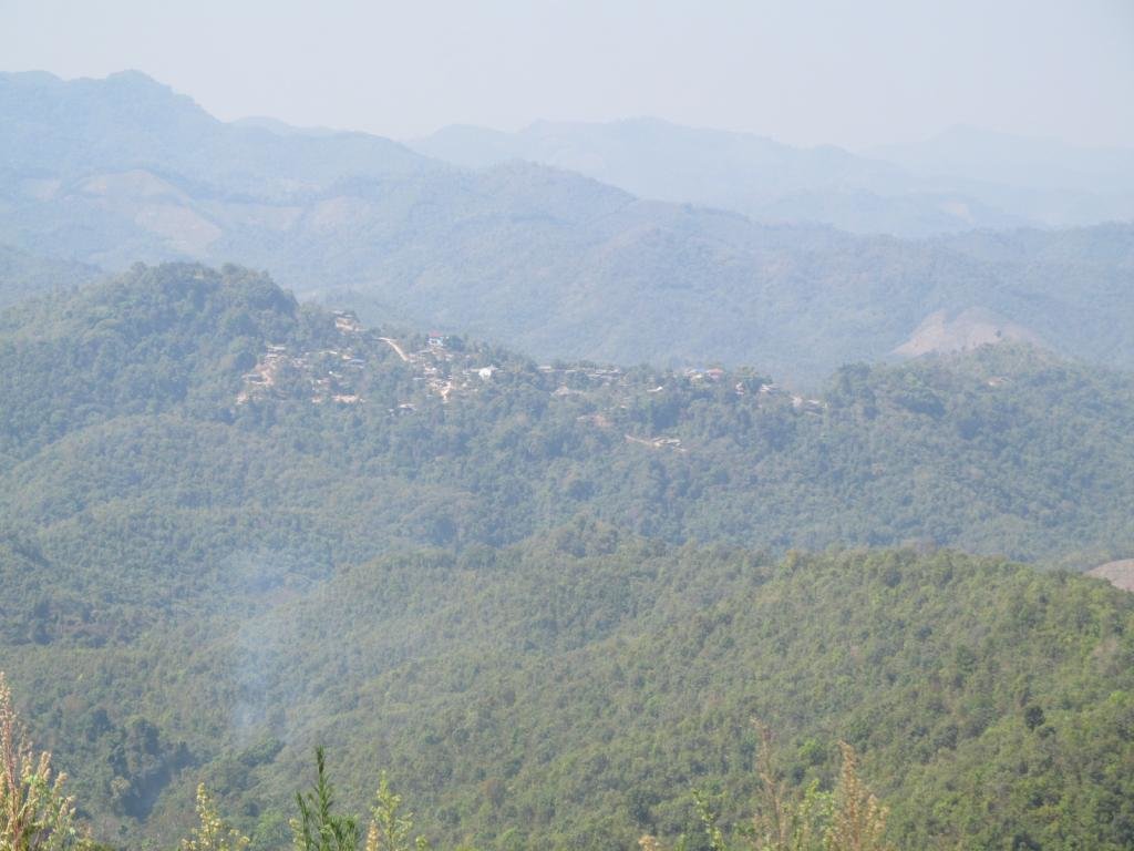
Looking back at the village
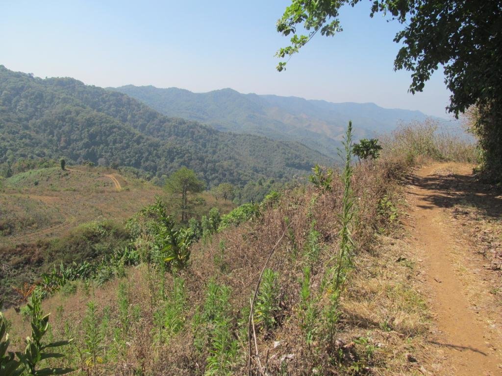
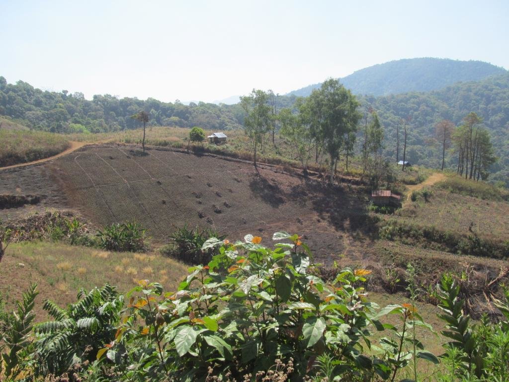
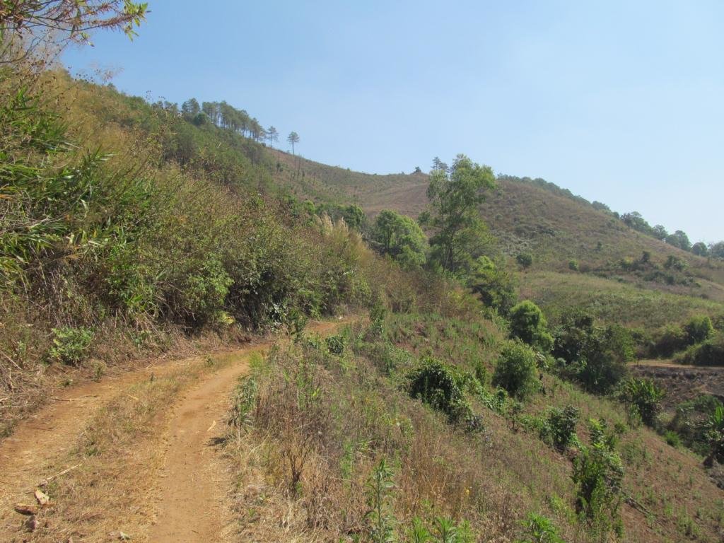
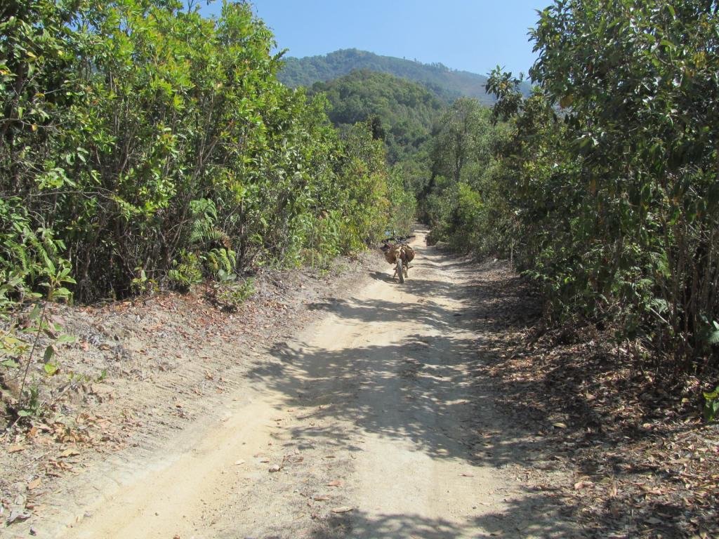
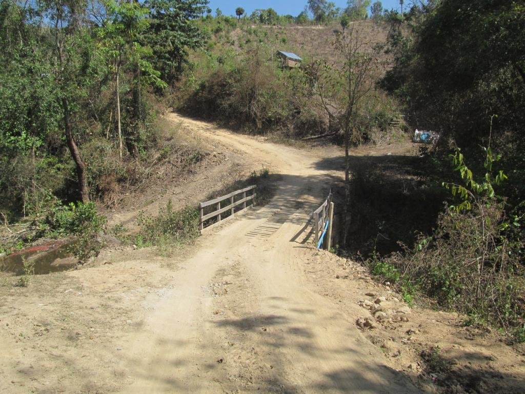
Onto the new unmapped track and a wooden bridge virtually straight away
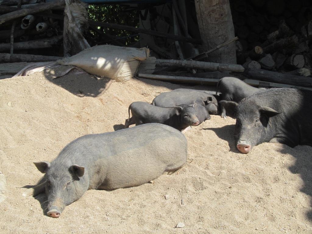
Happy relaxed pigs here
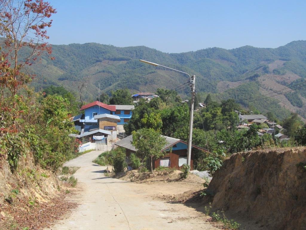
Riding down into the village where the adventure will begin
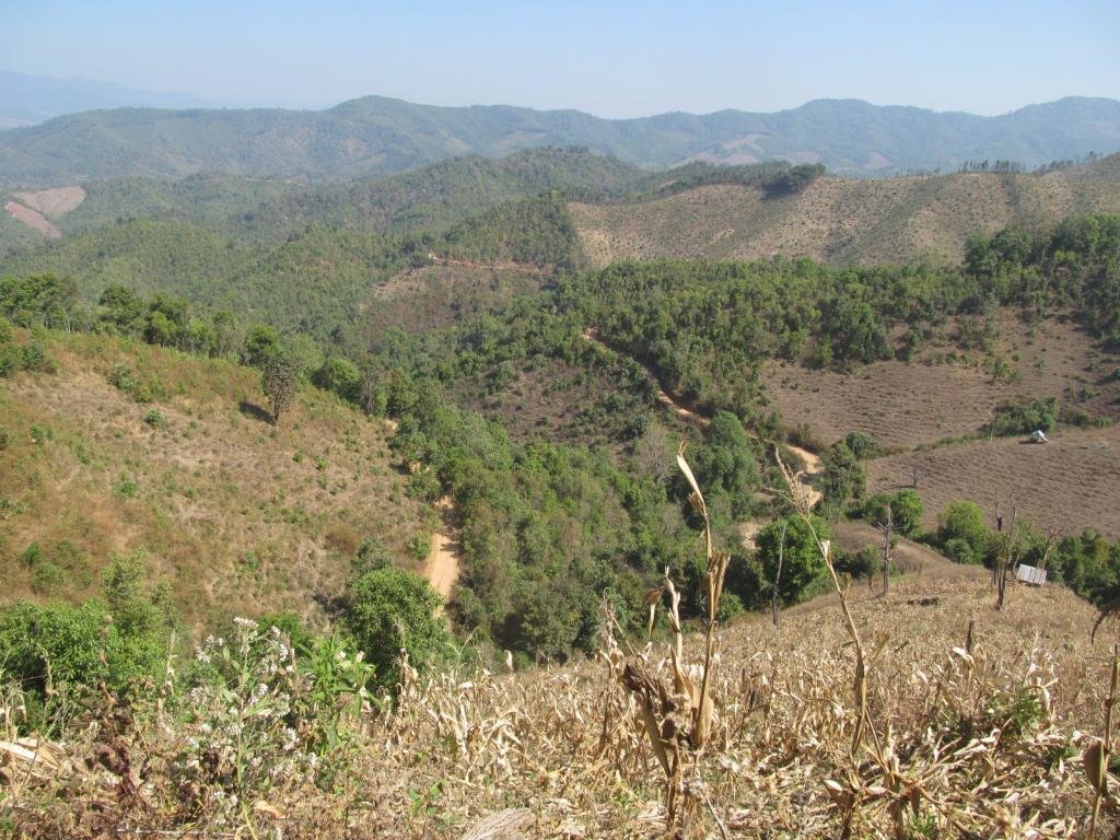
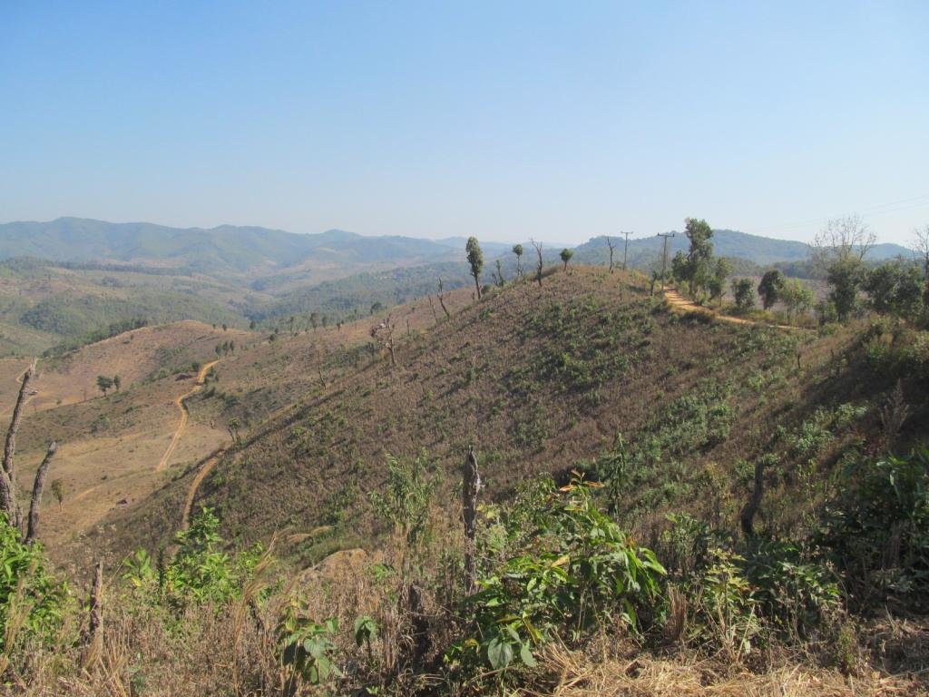
Lovely views on the way to my new unmapped track
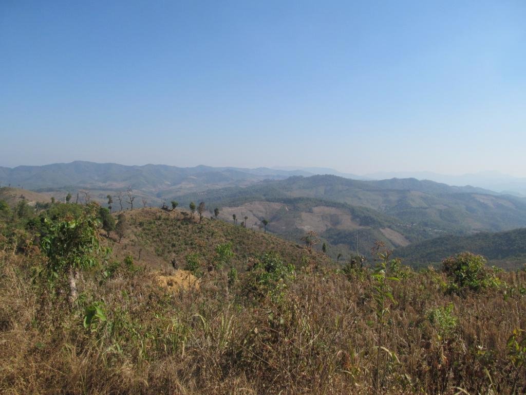
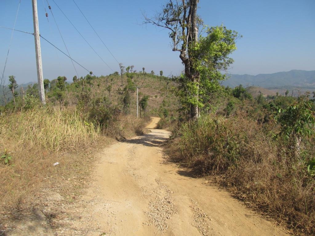
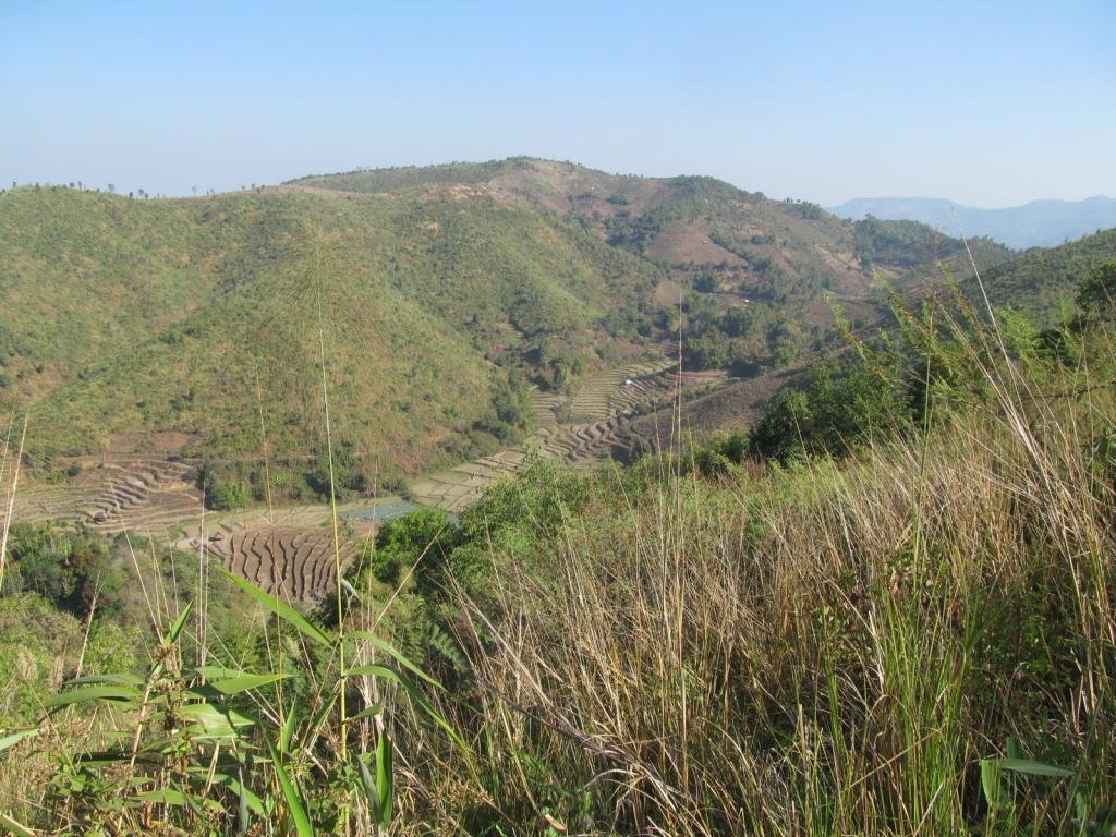
The 1266 riding towards Huai Hom and its clean air, I was wondering if it would be smoky yet
Photos and text last to first

Mukata 149 Baht

Bad news for us dirt lovers, the concreting gang must be on a bonus as its been concreted for a long way past the church.
Its my thought that it will be down to where the 4015 becomes the 1270 and then south along the 1270 then it will be paved all the way to the 108 junction with the 1270.
No sign of any surfacing further north of Huai Hom at the moment though which is good news.
The good news is with my todays find and hopefully finishing off tomorrow there is a dirt track to bypass what is being concreted


It joins the 4015 north of the big church

The dusty track going up into the hills was a brilliant find as it goes through to link up with a track on the NT gps map

Plenty of potatoes here


The road loops around back to the second village and I decide to explore the other track that crosses the river

Back in the third village


I ride a track past the church, it goes for a fair way then finishes at the onion field


A church at the top of the hill where the third village is

The track ran for ages and I met these sorting out irrigation up on the hill


Another track on the other side of the river

This track carried on out and I was expecting it to be a dead end

In the next village is the school.
The teacher tells me there are three villages all called Ban Mae Tum, her spelling but its pronounced Toom


Strawberry fields forever

Lots of lovely strawberries


I ride through the water and explore the tracks on the other side


A village of old buildings is Ban Mae Tum


These two tell me there is another village further on but its a dead end, they need to check the dead end bit out for themselves as I found a way out

A large village ahead

These tracks head west and don't show on any gps map that I have

This takes me to the double track I could see so definitely a way out now


The other one ends and I take this single track

A track across the hills


I take a side track which splits, one goes to this potato field

Seeing that makes me think this is a through track


Lovely views from the top, there is a village out there which I was hoping to map but other things took the rest of the day so its now tomorrows mission


I need to get up there and hopefully the track I am following will take me there

Looking back at the village


Onto the new unmapped track and a wooden bridge virtually straight away

Happy relaxed pigs here

Riding down into the village where the adventure will begin


Lovely views on the way to my new unmapped track


The 1266 riding towards Huai Hom and its clean air, I was wondering if it would be smoky yet

