Captain_Slash
Community Manager
- Joined
- Jun 28, 2011
- Bikes
- BMW 310GS Honda Wave 125 Honda MSX 125
Total distance 134 km
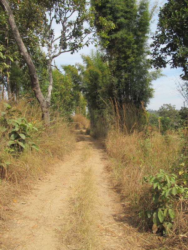
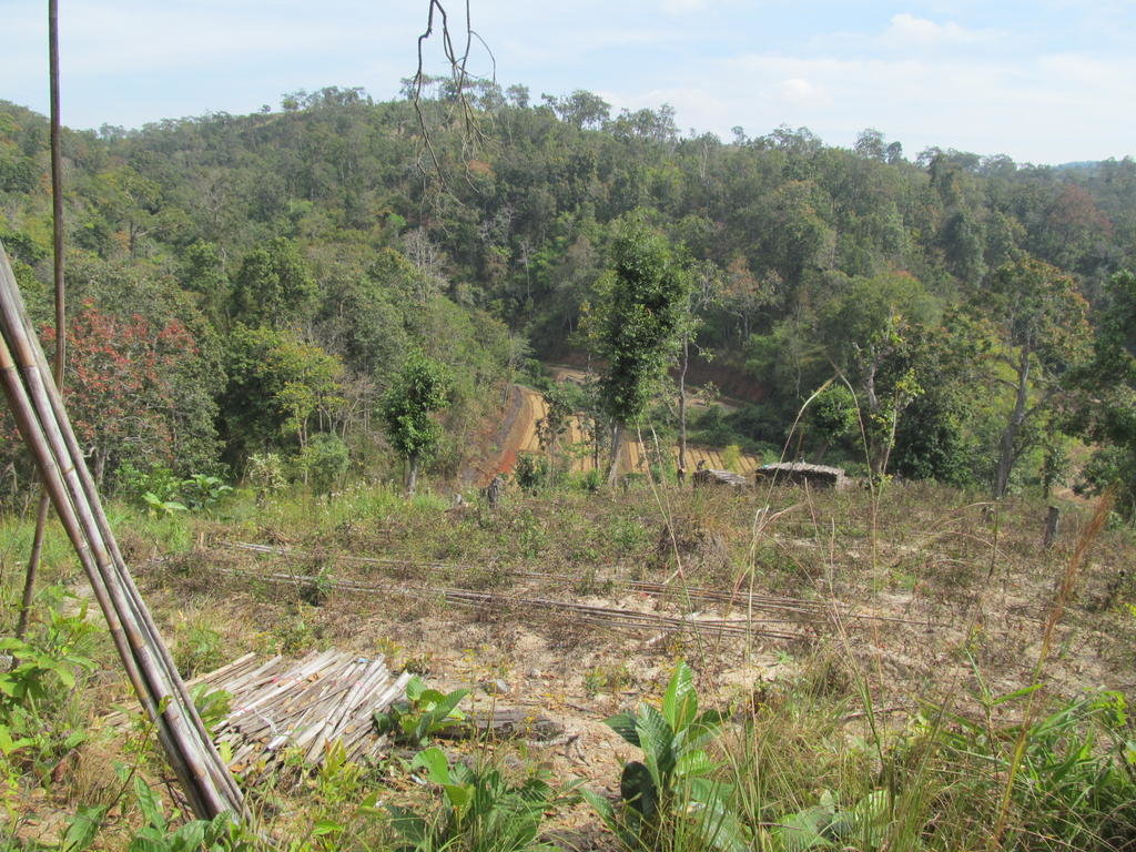
According to GE and the Garmin gps map there are roads that link the unpaved track towards Ban Dok Dang with the 1270
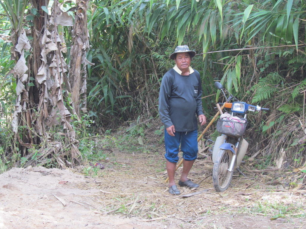
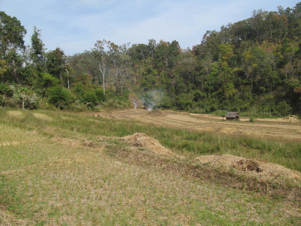
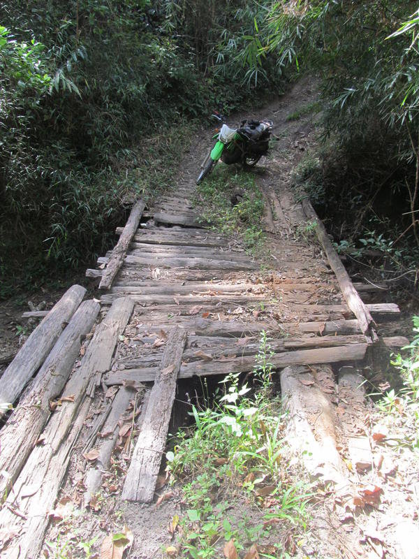
A dodgy looking bridge that really wobbled as I rode over it
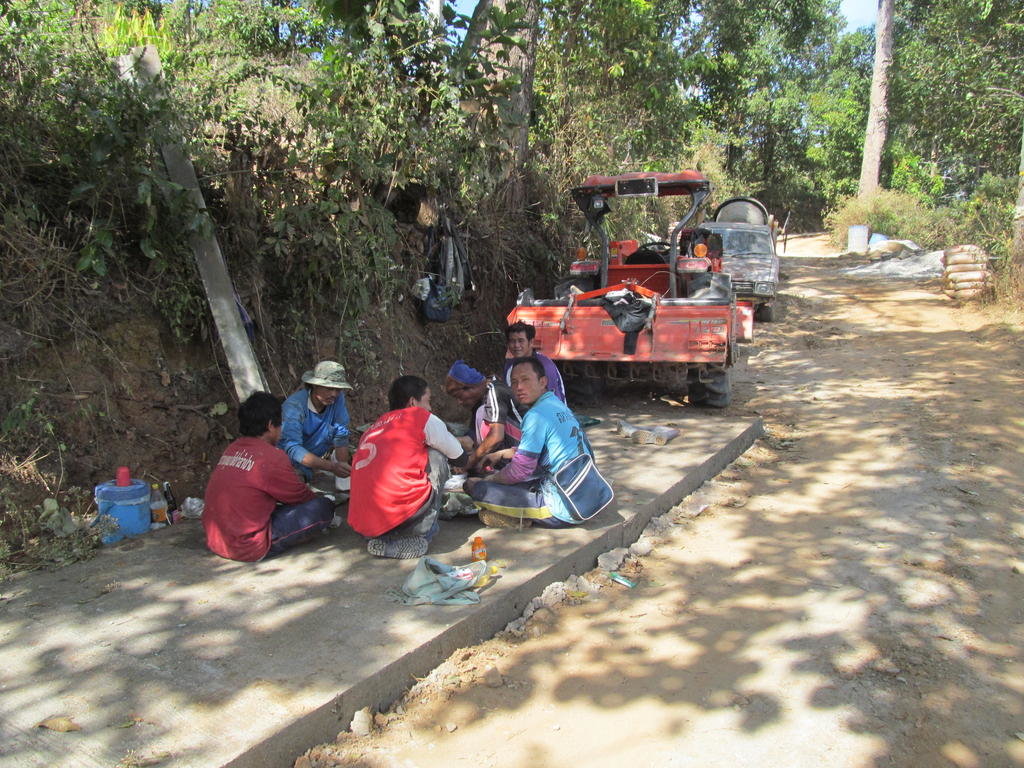
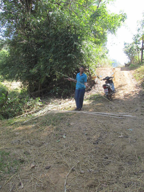
The enemy at work
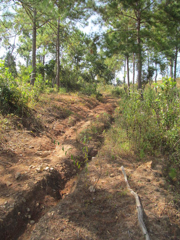
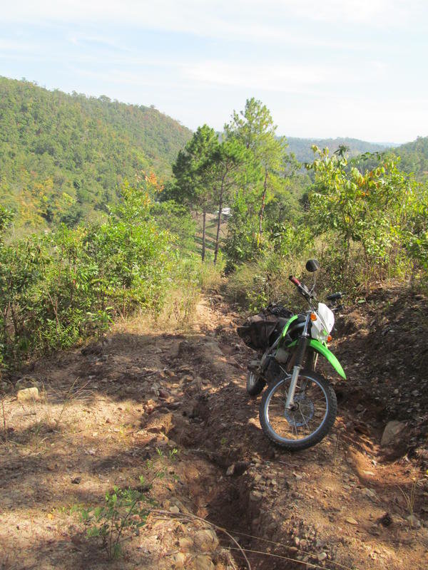
This was one well rutted track and I found a few of these today
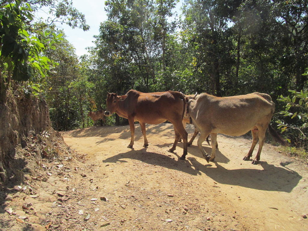
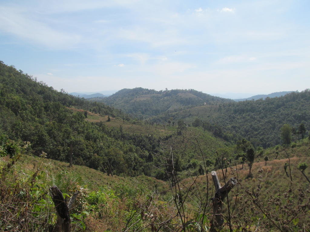
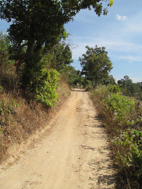
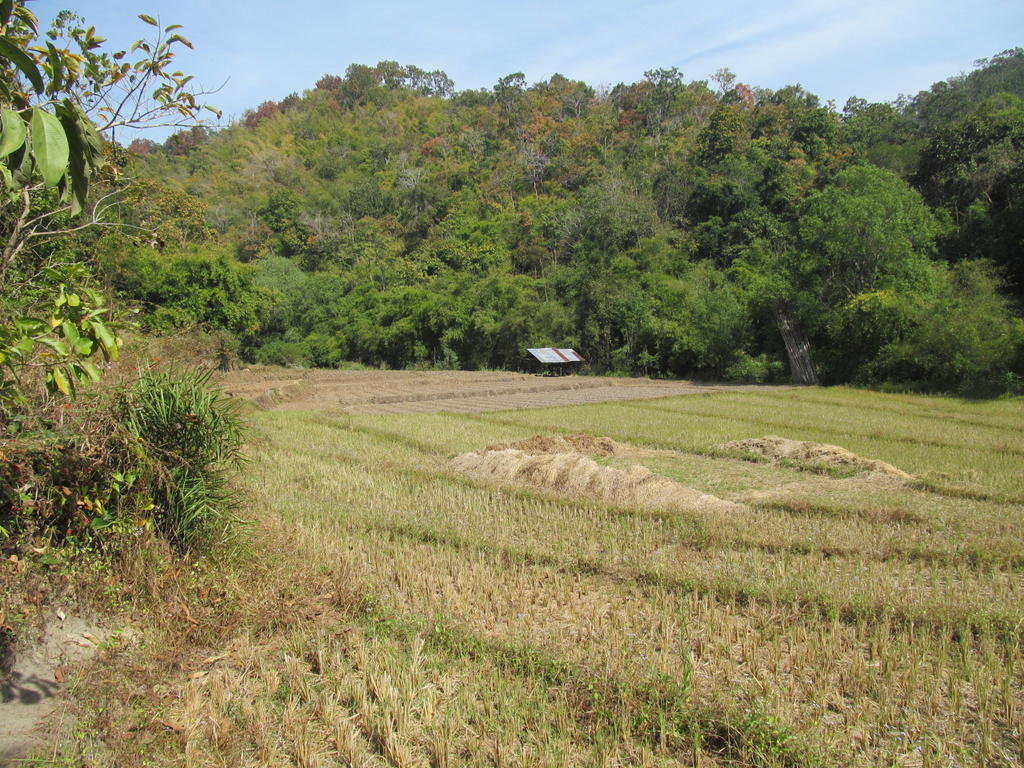
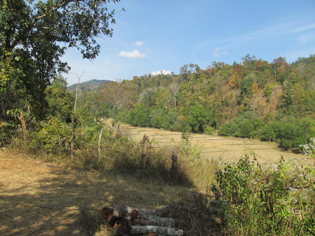
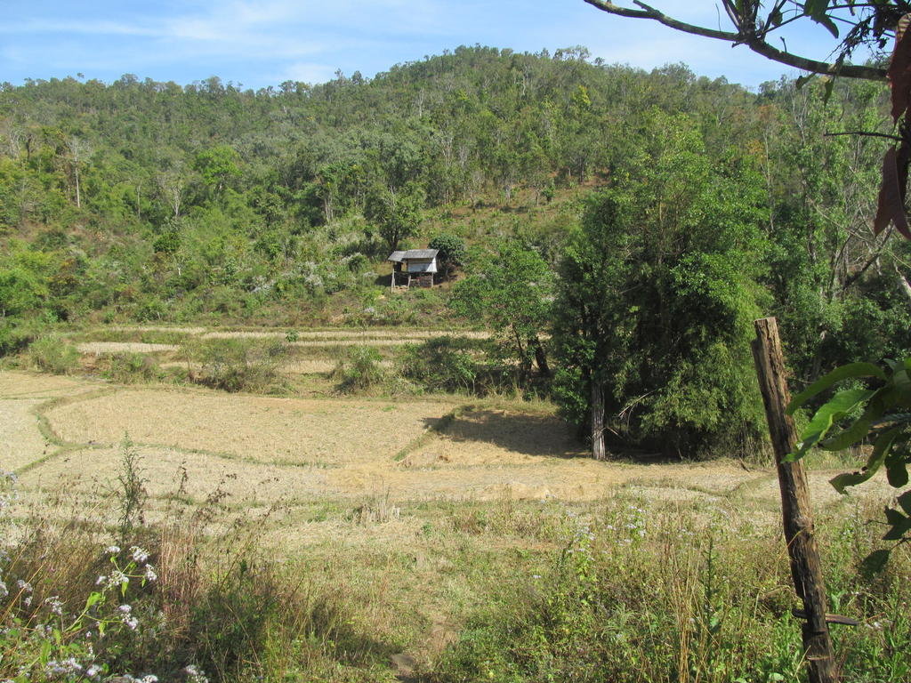
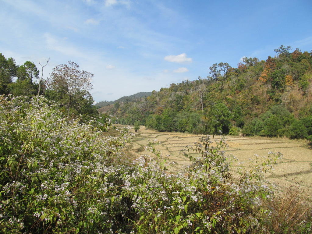
Fun track and nice scenery
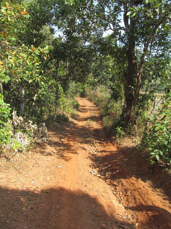
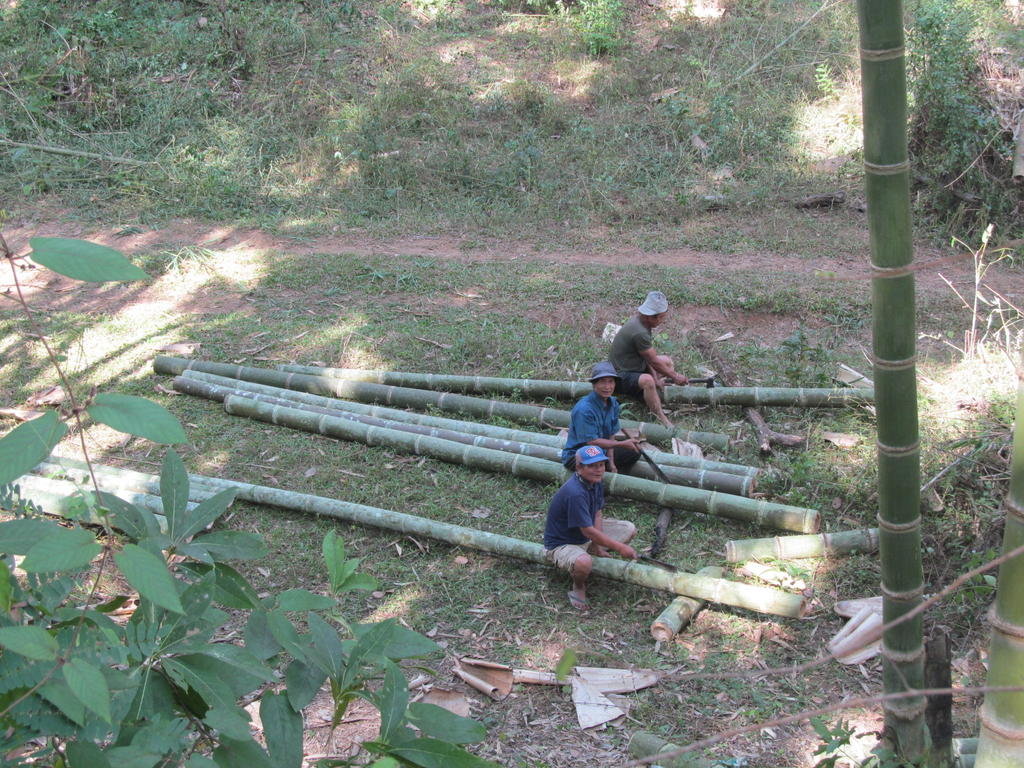
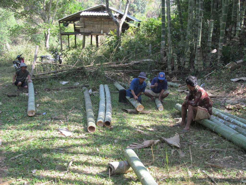
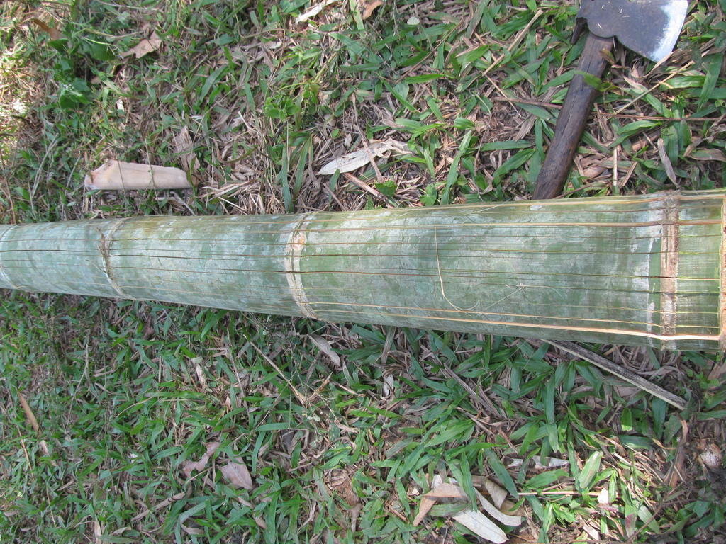
That must take a fair time
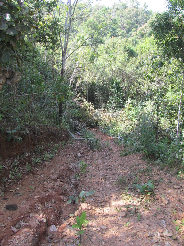
This was the only track I had to turn back on before reaching the end so I will have to try it from the 1270 to see if it links up
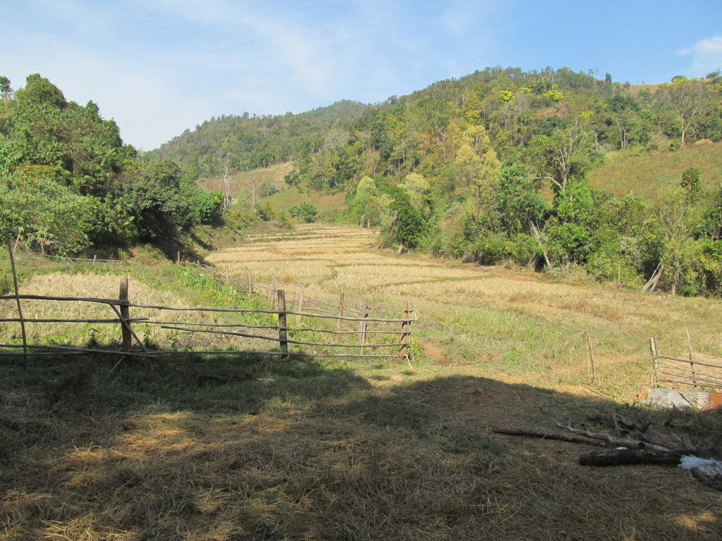
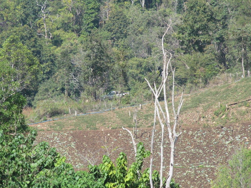
So close to linking up here, that truck is where I need to ride to but cant
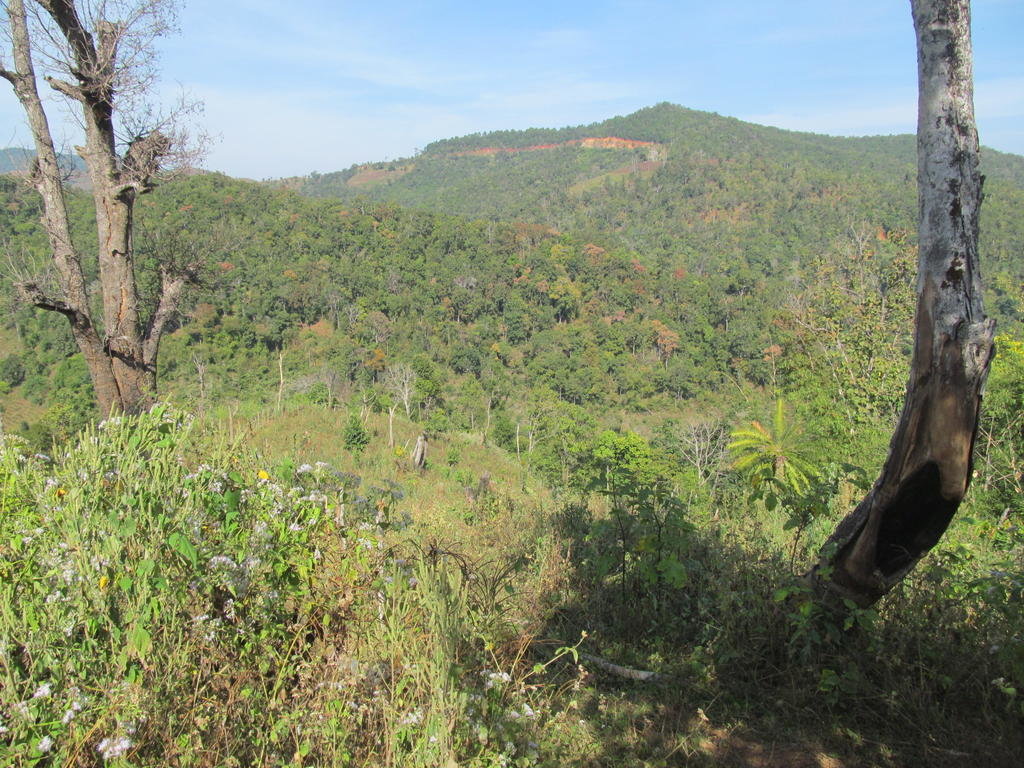
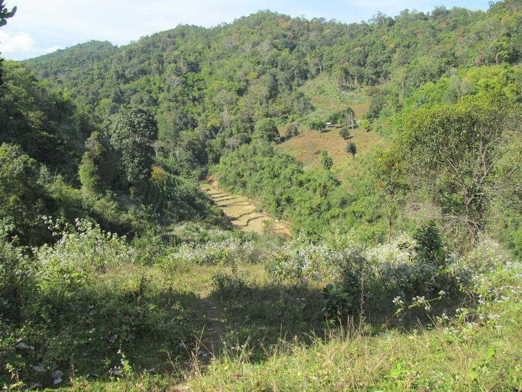
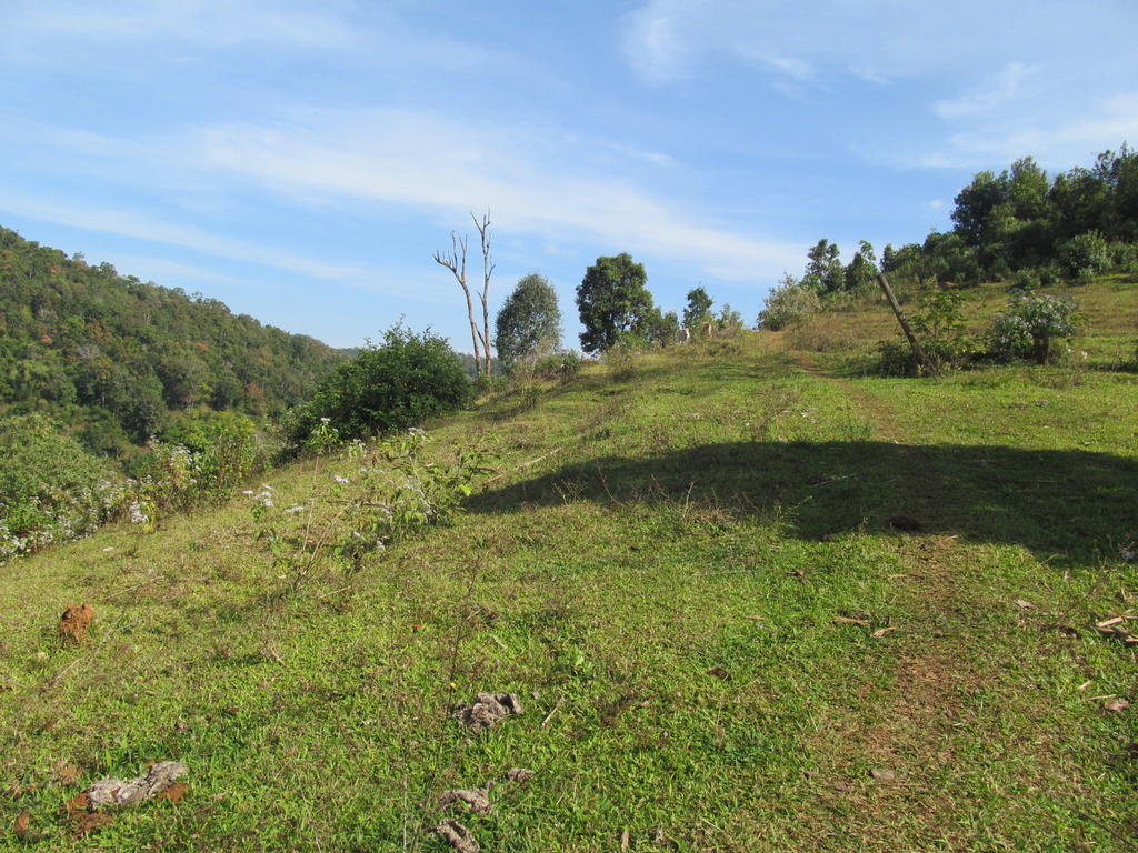
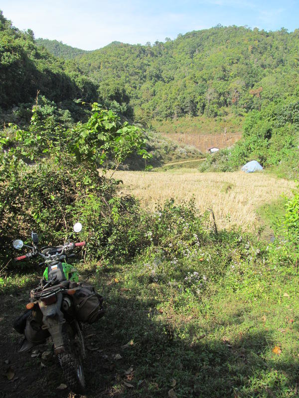
I never managed to find a link up but a fun day none the less
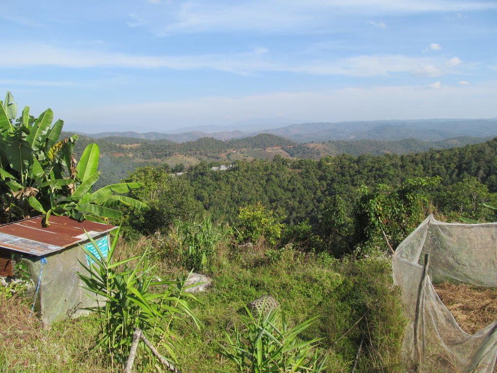
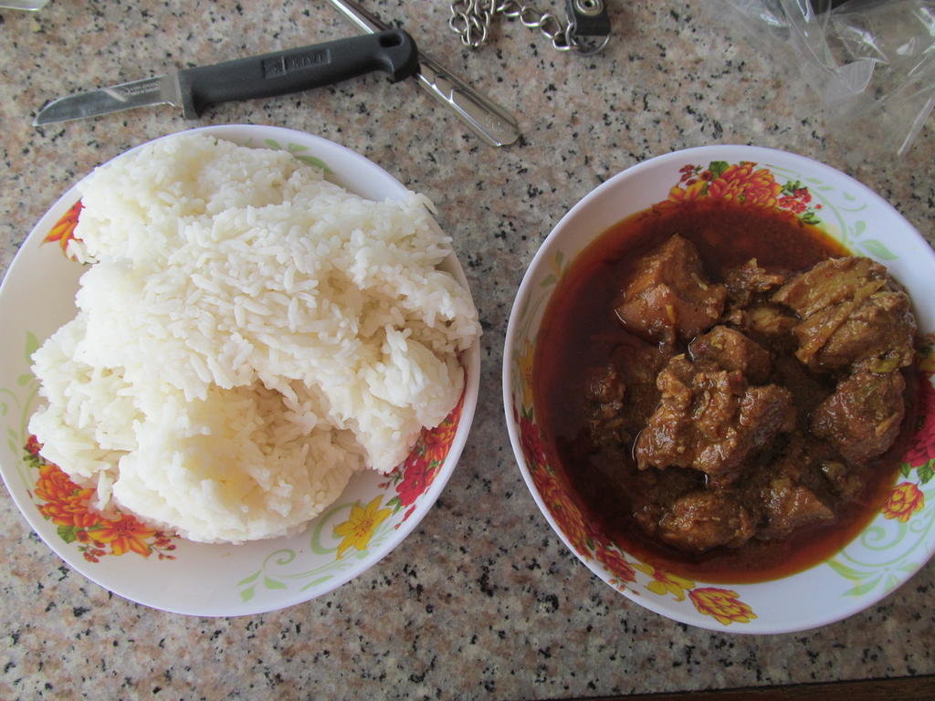
Moo hunglay 50 Baht and a monster portion of rice from Riverhouse for 20 Baht, I couldn't manage all that rice though


According to GE and the Garmin gps map there are roads that link the unpaved track towards Ban Dok Dang with the 1270


A dodgy looking bridge that really wobbled as I rode over it


The enemy at work

This was one well rutted track and I found a few of these today


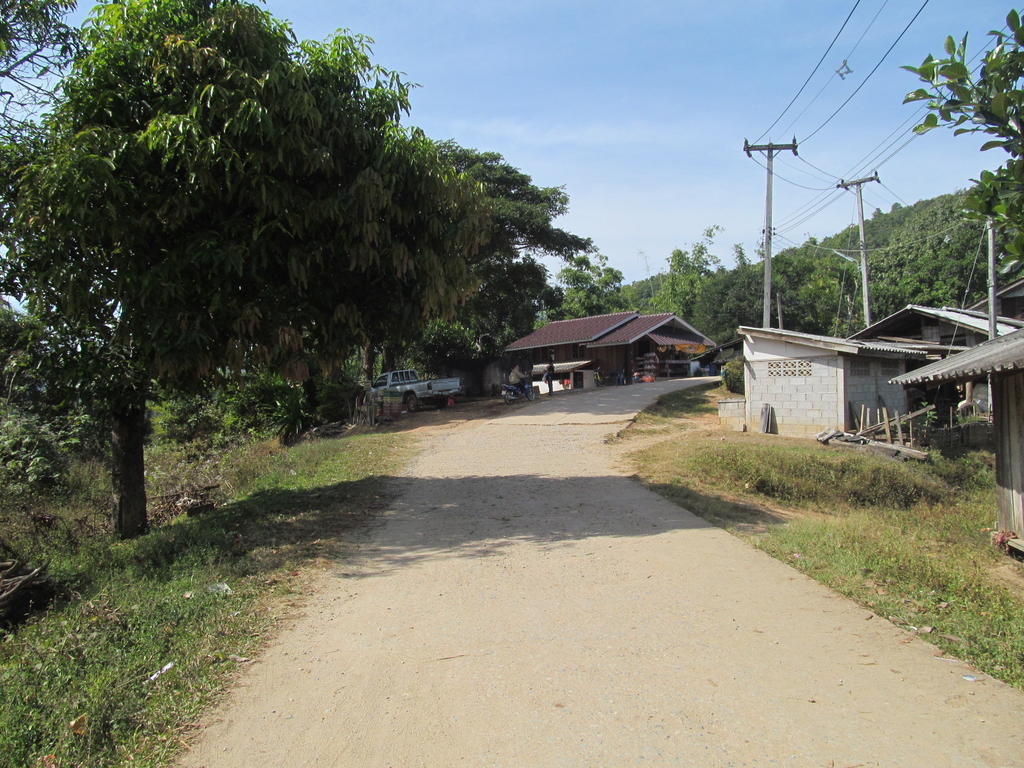
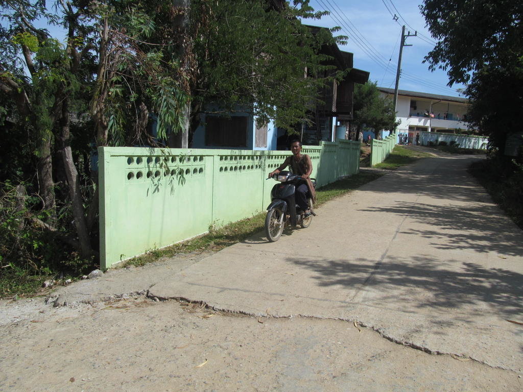
Fun track and nice scenery


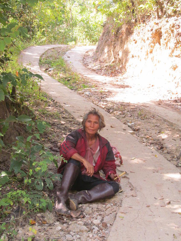
That must take a fair time


This was the only track I had to turn back on before reaching the end so I will have to try it from the 1270 to see if it links up


So close to linking up here, that truck is where I need to ride to but cant


I never managed to find a link up but a fun day none the less


Moo hunglay 50 Baht and a monster portion of rice from Riverhouse for 20 Baht, I couldn't manage all that rice though


