Lone Rider
Blokes Who Can
Another Laos trip - this time with a good friend and his son - July 2017
We had been talking about a joint trip for quite some time but everytime something came in between but finally in July 2017 we were able to go - Chiangmai - Huauxay - Luang Nam Tha - Boten and the border with China - Luang Prabang - Phonsavan and the Plain of Jars - Ban Nahin and the Konglor Cave - Thakhaek - Paklay and back home to Chiangmai.Some pictures taken along the trip at various locations.

The route taken

Looking north from the Nam Phe viewpoint (coordinates N20.54083 E100.97390) on Rd 3.


Overnight at the Zuella Guesthouse in Luang Namtha and there are quite a few "Overlanders" and "Round the World" riders who are staying there

The next day off to Boten and the Laos-China crossing

Work is ongoing to enlarge to crossing as freight traffic (agricultural products, etc.) has increased tremendously over the years

Product of the China - hmm are you sure , these bananas were grown and harvested in Laos and exported to China (picture copyright The Bigfellah)


Part of the old "Ghost Town" at the border

and a new "Ghost town" in the making?

The Customs House and lots of new Chinese cars waiting to be processed before they can enter Laos

Lunch in Oudomxay at Kanya Restaurant (N20.68932 E101.98518)

Xaymungkhun Ratana Ming Muang Stupa at Wat Phou That (coordinates N20.68732 E101.98529)

Enjoying a cold one and a chat along the Mekong in Luang Prabang

Ricefiels near Pak Ou

Have a safe journey - on their way to Vietnam on Vietnamese bikes they bought 3 days ago in Luang Prabang

Luang Prabang to Phonsavan via Road 4C - a small truck is struggling to get to the top

Just on the other side of the top on the way to Kasy the weather is bad with rain coming down

A small landslide has closed the main road so we need to take part of the old road

Once down in Kasy and on the way to Phoukhoun we have better weather again


The look-out and the Phoukhoun Phiangva Restaurant at N19.38941 E102.42641 with the giant "kilometer sign"


Phonsavan and Jar Site 1 - Thong Hai Hin of the Plain of Jars

and some craters from big bombs used during the war

and good to see that one of the best maps for Laos is on sale here


Nearby Jar Site 1 a new Buddhist Wat - Wat Haihin Mixayyaram - is being comstructed which will have a statue of Phra Chao Ong Luang Pathanphone on top


The Buddha statue being worked on (28 April 2018) - pictures by Phra Ajarn Keo Soudhammo


and from the new Wat Haihin Mixayyaram to the old Wat Phia Vat in Mueang Khoune - the latter was almost completely destroyed during the war

Alway be careful on the road in laos as you have to share it with cattle, dogs, goats, etc.

On the way to the Sai Nam Hai Resort in Ban Namsanam

We stayed a night at the Sai Nam Hai Resort (N18.18042 E104.54594) as the plan was to go the next morning to the Konglor cave. During breakfast one of man's best friends seems to say - leave some bacon and eggs for me please.

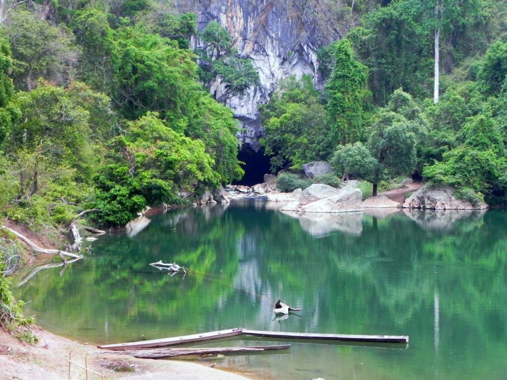
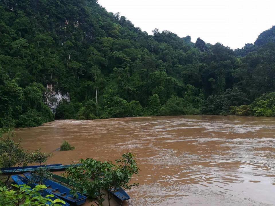
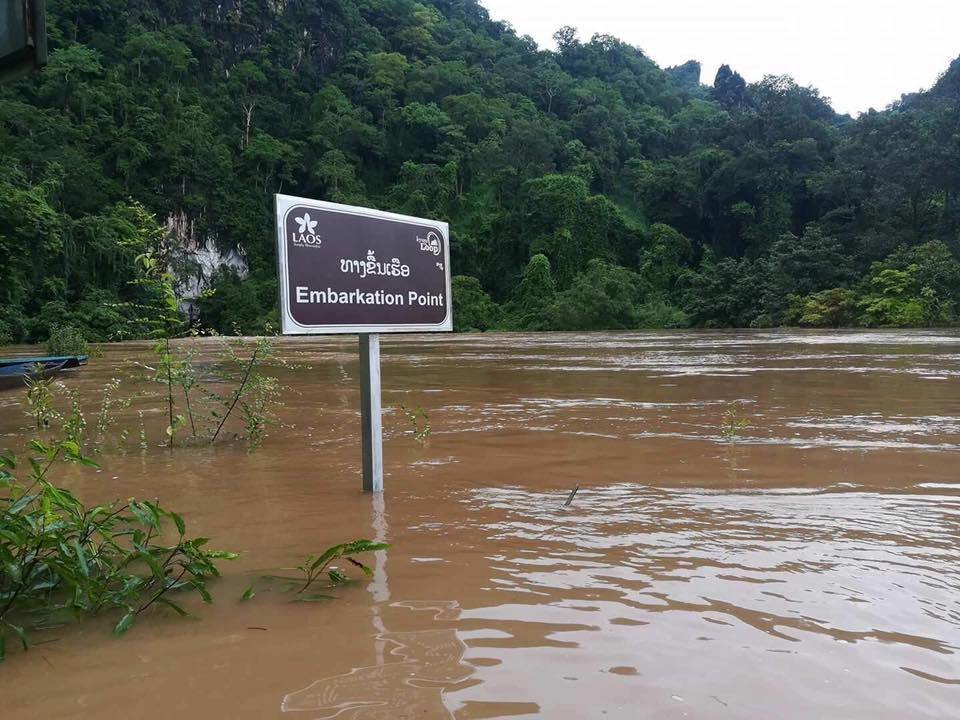
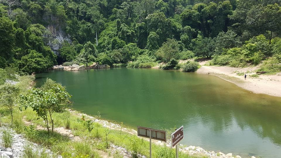
We had to cancel the trip to the Konglor cave as the water level was far to high to go through the cave so just a picture of the cave here - picture copyright Pakaad.com - Inside the Konglor cave

Small waterfal along Road 8


The water level in the Nam Theu 2 Reservoir is quite low - the boat was at N17.73446 E105.15187 near the office of the Nam Theun 2 Watershed Management and Protection Authority


The Song Sou waterfall - access to this waterfall has been improved and it forms now part of the "Thakhaek Loop" - Sign at the turnof from Rd. 1E is at N17.67803 E105.15497 and the entrance for the waterfall is at N17.66764 E105.17820

Overnight in Thakhaek and the next day it was of to Paklay where we stayed at the Anousone 2 Guesthouse on the river close to the Anousone 1 Guesthous shown on the picture

At that time they bridge over the Mekong was not yet ready so just a stroll on the bridge before we left Laos via the Paklay to Phudoo border crossing

A short visit to the Sirikit Dam and some coffee before we headed home in Chiangmai.
We had been talking about a joint trip for quite some time but everytime something came in between but finally in July 2017 we were able to go - Chiangmai - Huauxay - Luang Nam Tha - Boten and the border with China - Luang Prabang - Phonsavan and the Plain of Jars - Ban Nahin and the Konglor Cave - Thakhaek - Paklay and back home to Chiangmai.Some pictures taken along the trip at various locations.

The route taken

Looking north from the Nam Phe viewpoint (coordinates N20.54083 E100.97390) on Rd 3.


Overnight at the Zuella Guesthouse in Luang Namtha and there are quite a few "Overlanders" and "Round the World" riders who are staying there

The next day off to Boten and the Laos-China crossing

Work is ongoing to enlarge to crossing as freight traffic (agricultural products, etc.) has increased tremendously over the years

Product of the China - hmm are you sure , these bananas were grown and harvested in Laos and exported to China (picture copyright The Bigfellah)


Part of the old "Ghost Town" at the border

and a new "Ghost town" in the making?

The Customs House and lots of new Chinese cars waiting to be processed before they can enter Laos

Lunch in Oudomxay at Kanya Restaurant (N20.68932 E101.98518)

Xaymungkhun Ratana Ming Muang Stupa at Wat Phou That (coordinates N20.68732 E101.98529)

Enjoying a cold one and a chat along the Mekong in Luang Prabang

Ricefiels near Pak Ou

Have a safe journey - on their way to Vietnam on Vietnamese bikes they bought 3 days ago in Luang Prabang

Luang Prabang to Phonsavan via Road 4C - a small truck is struggling to get to the top

Just on the other side of the top on the way to Kasy the weather is bad with rain coming down

A small landslide has closed the main road so we need to take part of the old road

Once down in Kasy and on the way to Phoukhoun we have better weather again


The look-out and the Phoukhoun Phiangva Restaurant at N19.38941 E102.42641 with the giant "kilometer sign"


Phonsavan and Jar Site 1 - Thong Hai Hin of the Plain of Jars

and some craters from big bombs used during the war

and good to see that one of the best maps for Laos is on sale here


Nearby Jar Site 1 a new Buddhist Wat - Wat Haihin Mixayyaram - is being comstructed which will have a statue of Phra Chao Ong Luang Pathanphone on top


The Buddha statue being worked on (28 April 2018) - pictures by Phra Ajarn Keo Soudhammo


and from the new Wat Haihin Mixayyaram to the old Wat Phia Vat in Mueang Khoune - the latter was almost completely destroyed during the war

Alway be careful on the road in laos as you have to share it with cattle, dogs, goats, etc.

On the way to the Sai Nam Hai Resort in Ban Namsanam

We stayed a night at the Sai Nam Hai Resort (N18.18042 E104.54594) as the plan was to go the next morning to the Konglor cave. During breakfast one of man's best friends seems to say - leave some bacon and eggs for me please.

We had to cancel the trip to the Konglor cave as the water level was far to high to go through the cave so just a picture of the cave here - picture copyright Pakaad.com - Inside the Konglor cave

Small waterfal along Road 8


The water level in the Nam Theu 2 Reservoir is quite low - the boat was at N17.73446 E105.15187 near the office of the Nam Theun 2 Watershed Management and Protection Authority


The Song Sou waterfall - access to this waterfall has been improved and it forms now part of the "Thakhaek Loop" - Sign at the turnof from Rd. 1E is at N17.67803 E105.15497 and the entrance for the waterfall is at N17.66764 E105.17820

Overnight in Thakhaek and the next day it was of to Paklay where we stayed at the Anousone 2 Guesthouse on the river close to the Anousone 1 Guesthous shown on the picture

At that time they bridge over the Mekong was not yet ready so just a stroll on the bridge before we left Laos via the Paklay to Phudoo border crossing

A short visit to the Sirikit Dam and some coffee before we headed home in Chiangmai.


