The Samoeng Loop & My Blog

DogusB

Junior Member
Joined
Jan 11, 2015
Bikes
2013 Honda CRF250L
Hi All,
I'm new to the Forum and would just like to say Hi. This site has been very resourceful and full of useful information, so thank you.

A friend and I are currently in Chiang Mai and are/going to be riding around Northern Thailand for the new couple of weeks (Mae Hong Son Loop, etc). I'm doing a blog as we go along, feel free to take a look - The Dotpix Blog

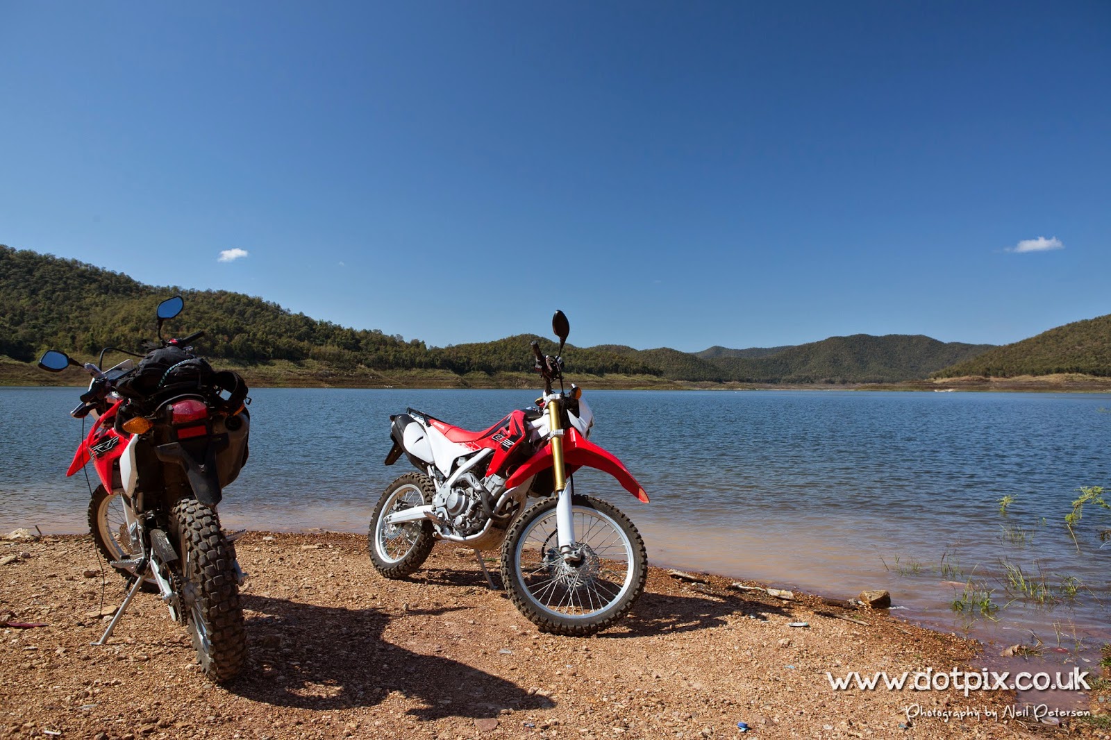
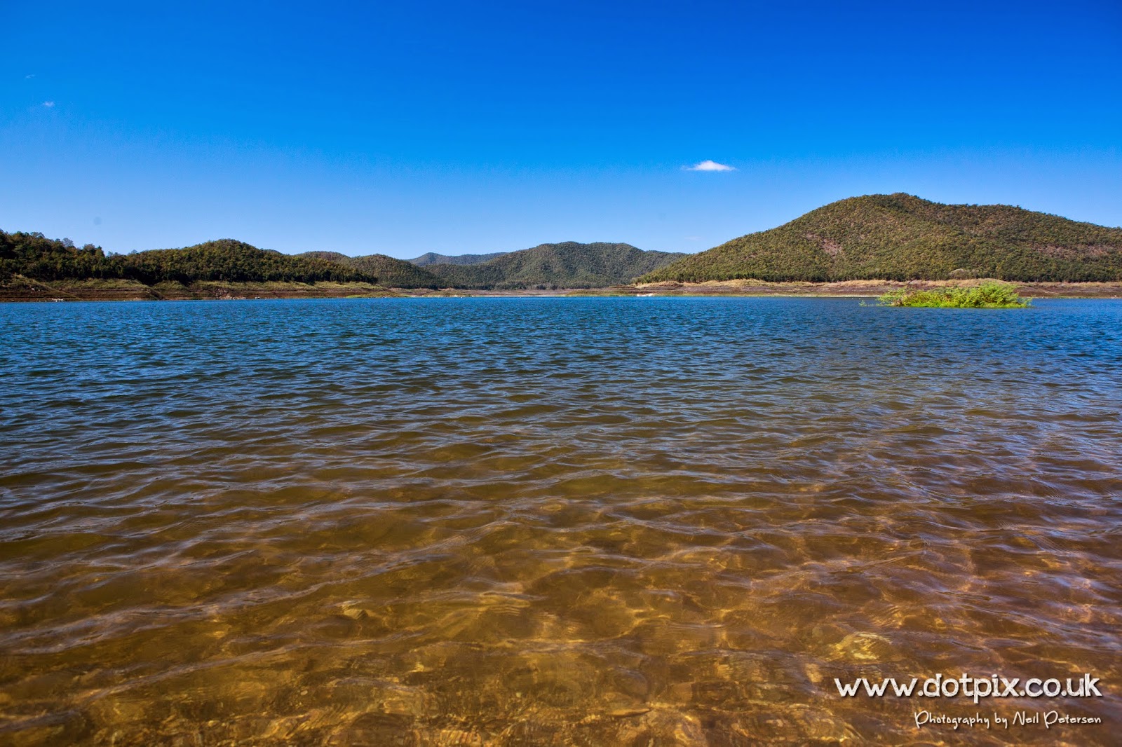
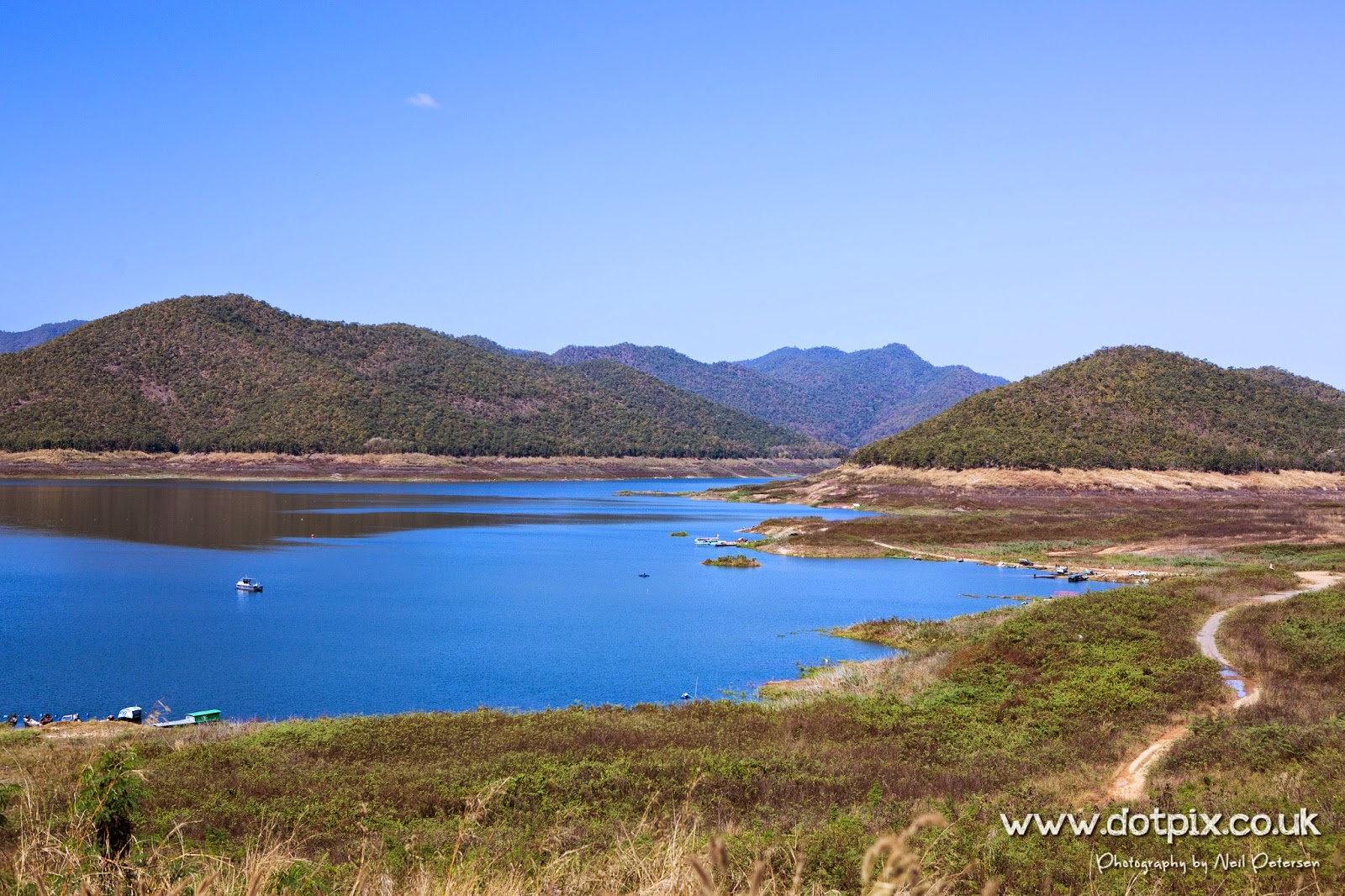
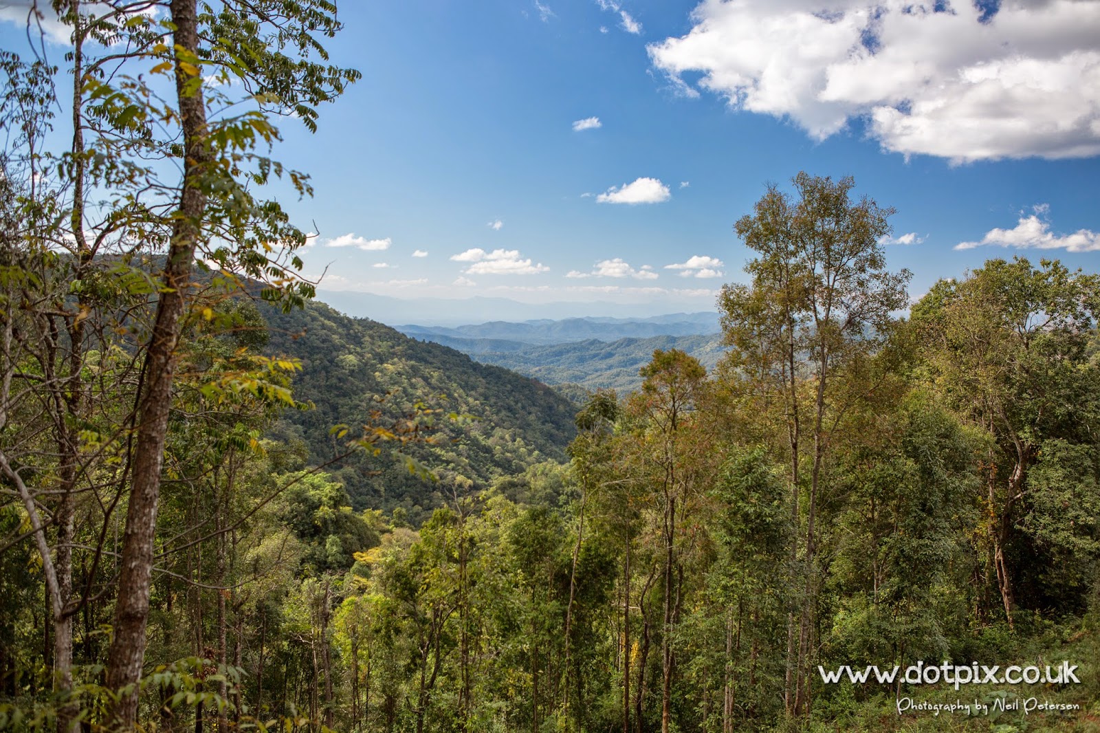
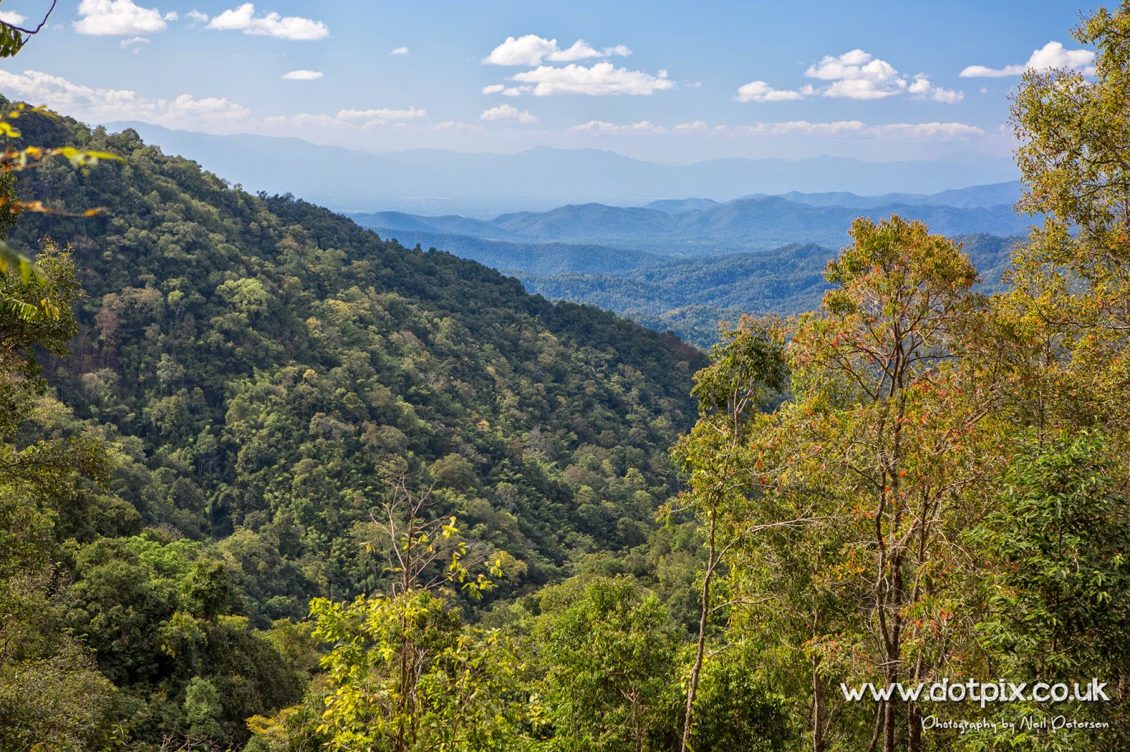
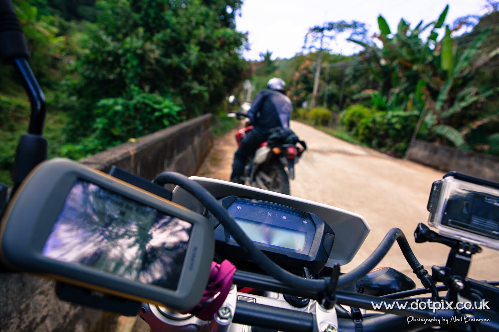
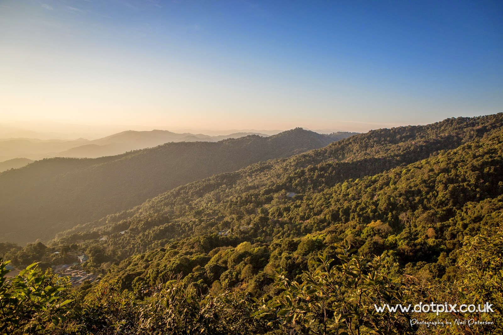
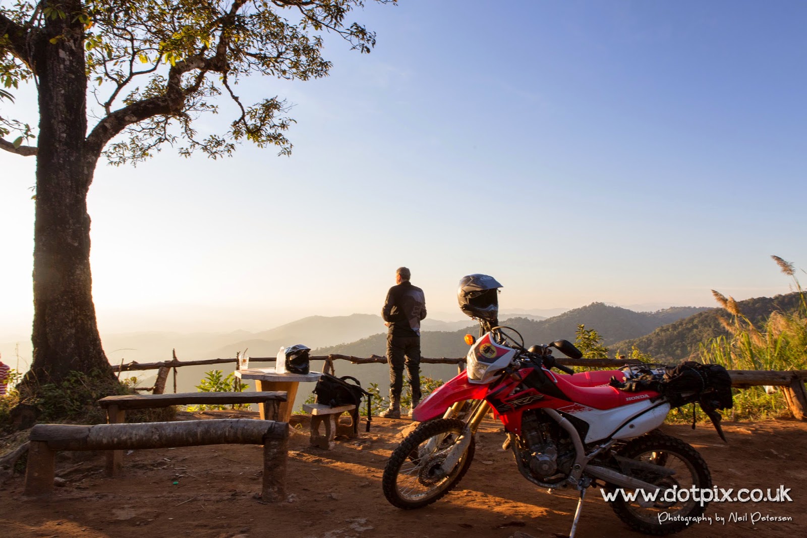
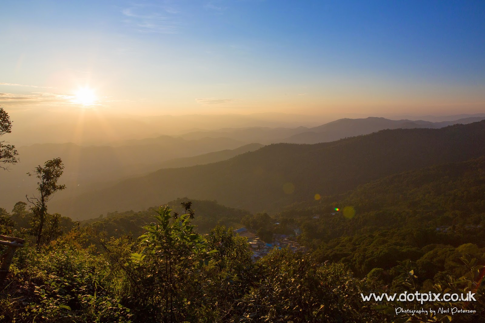
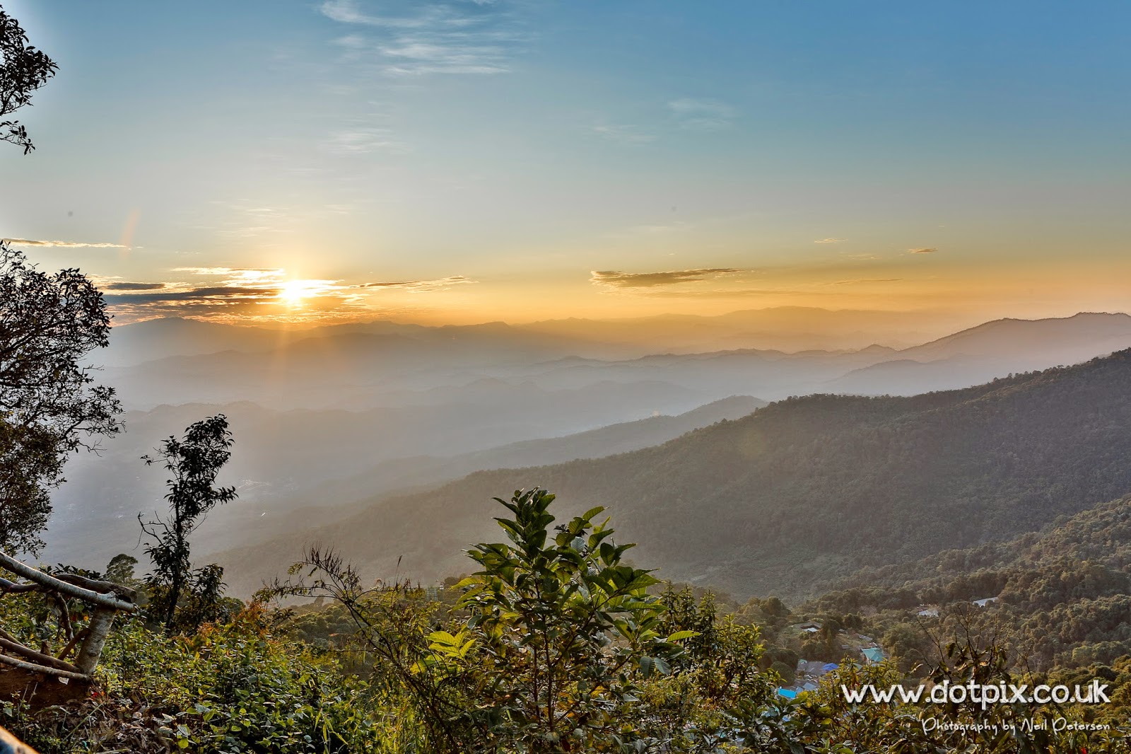
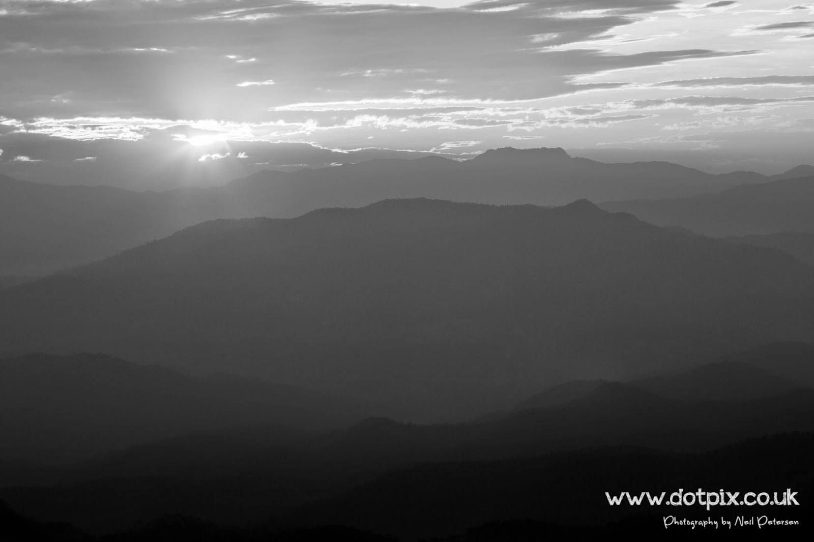
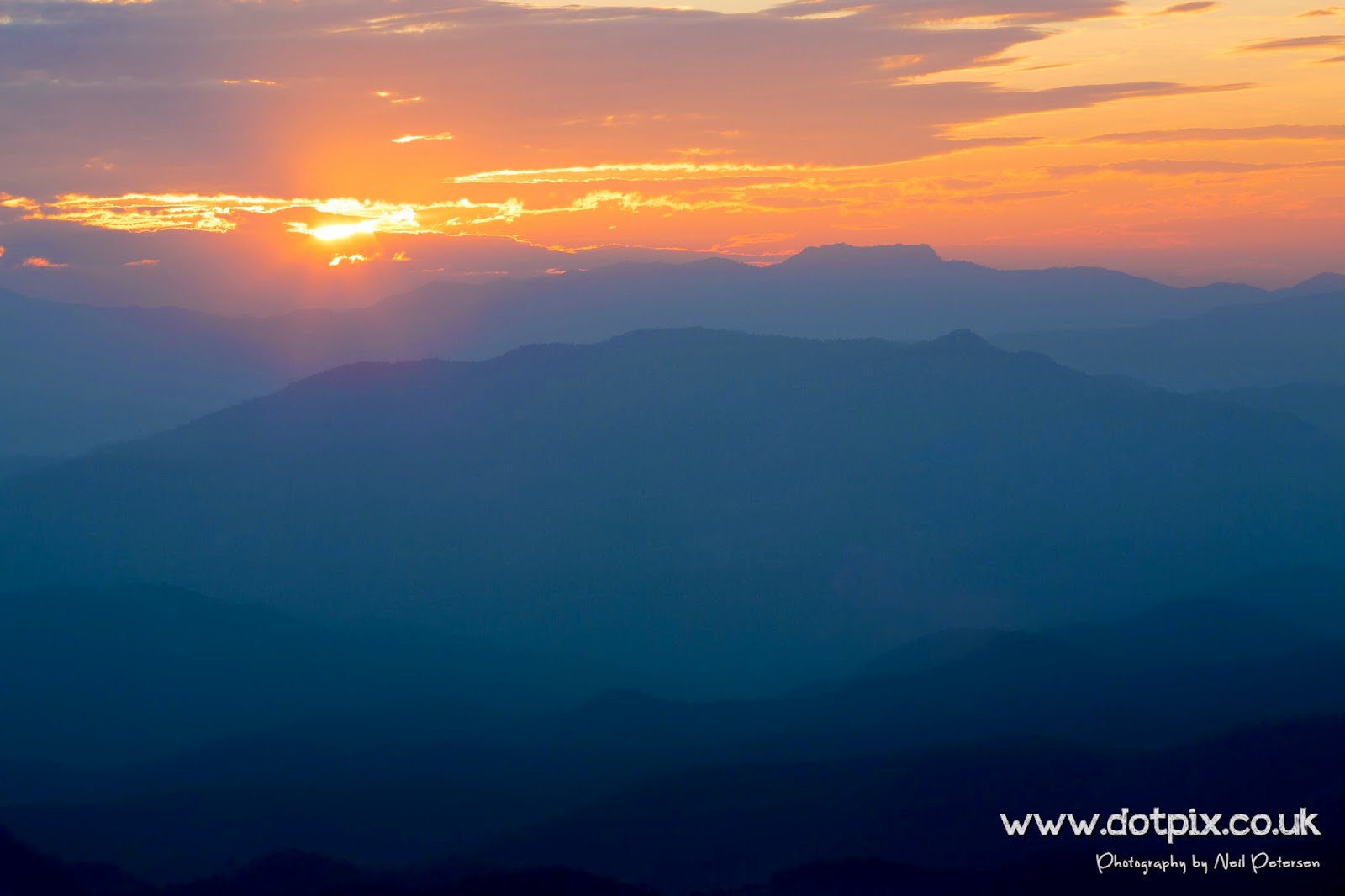
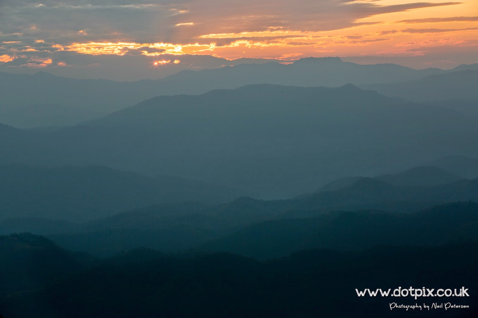
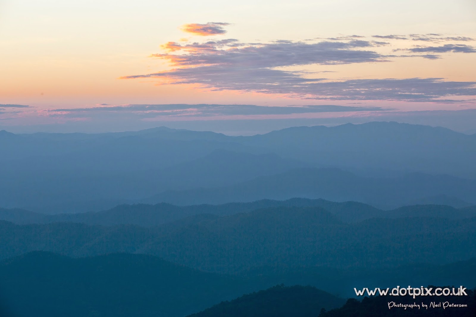
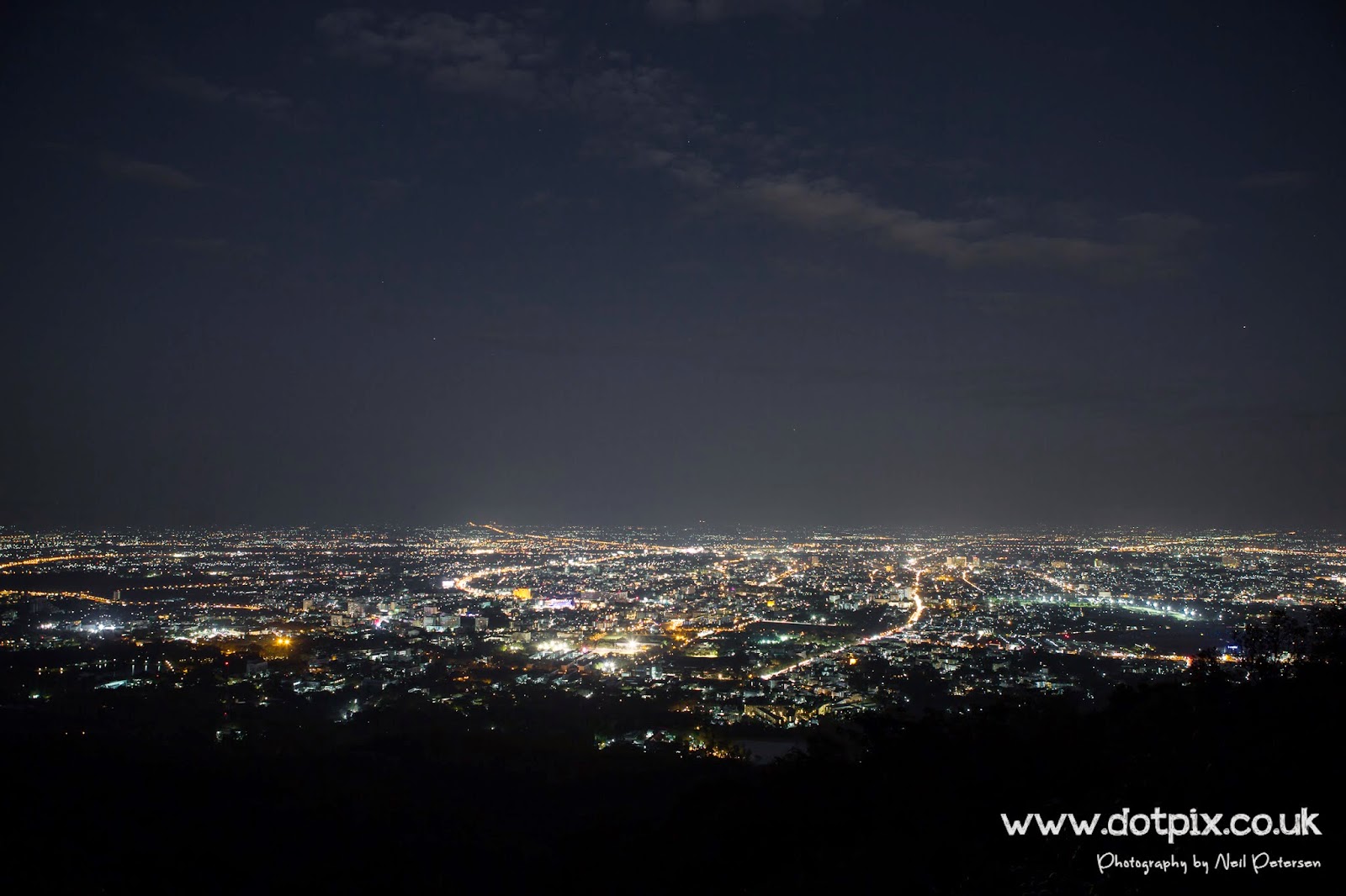
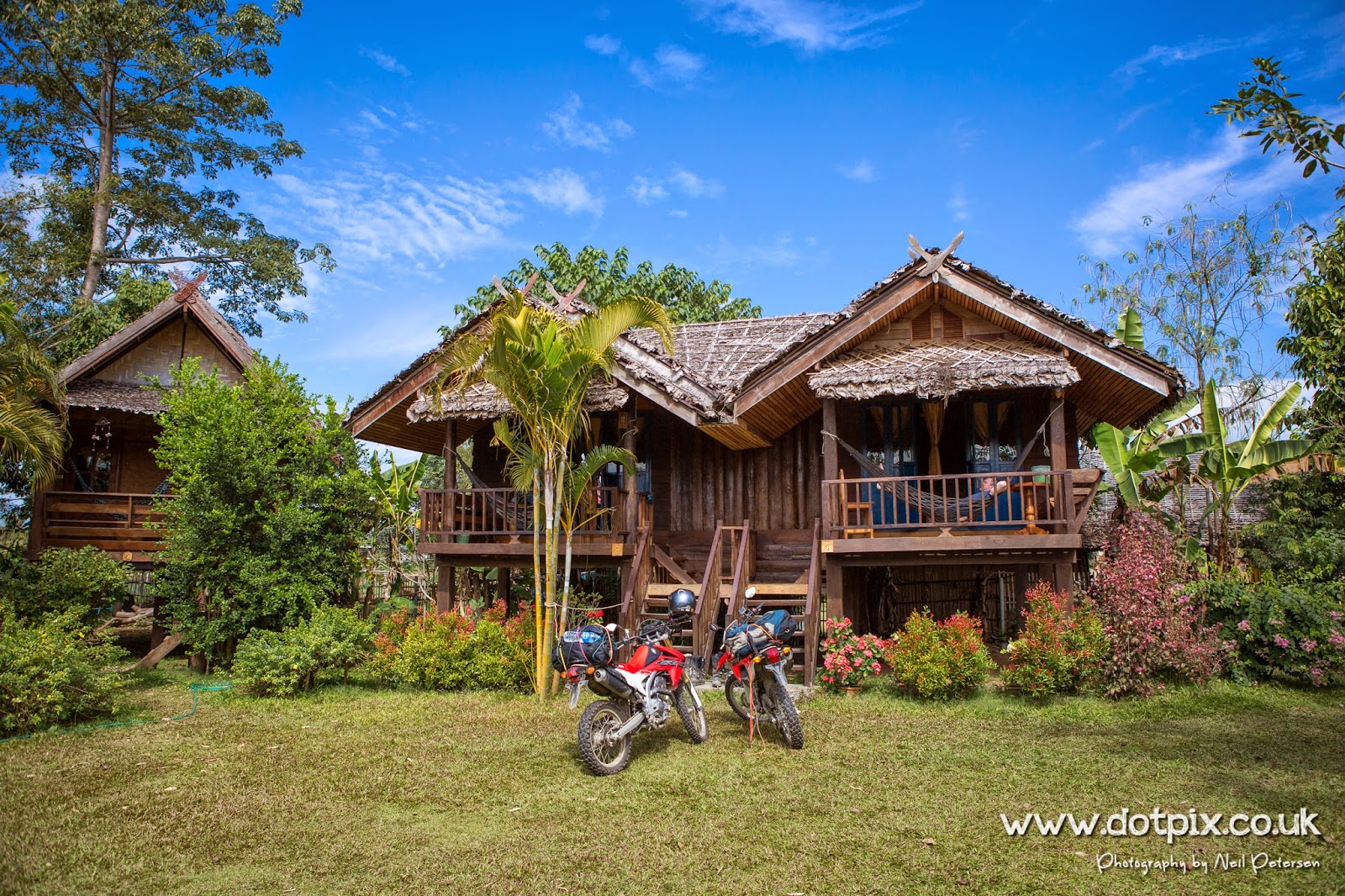
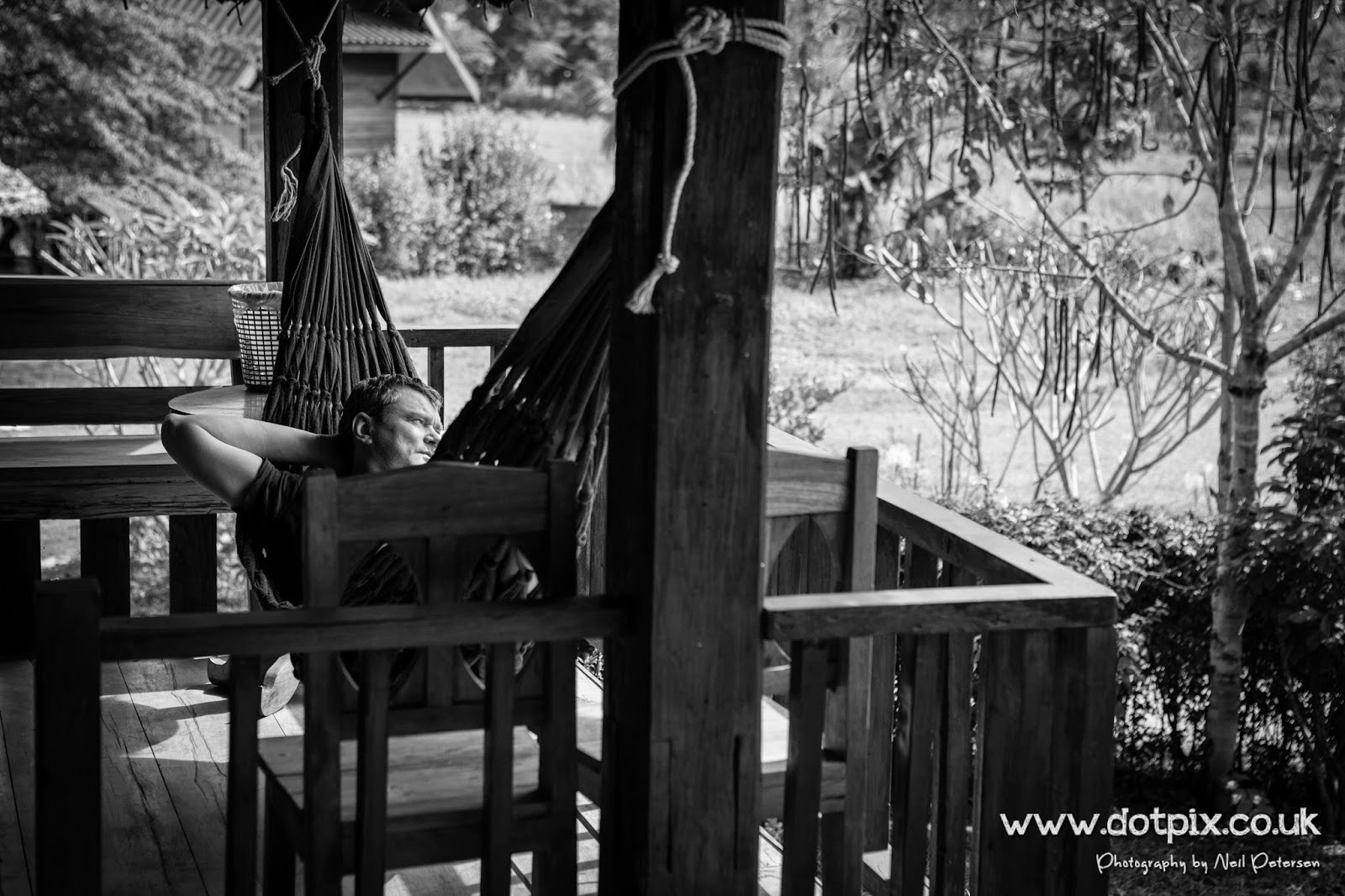
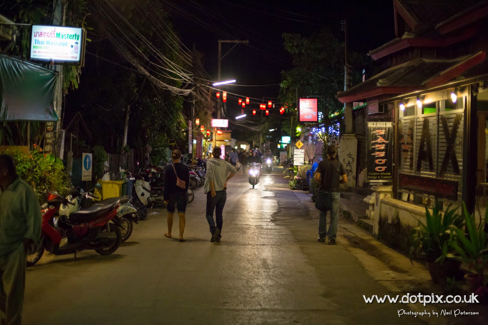
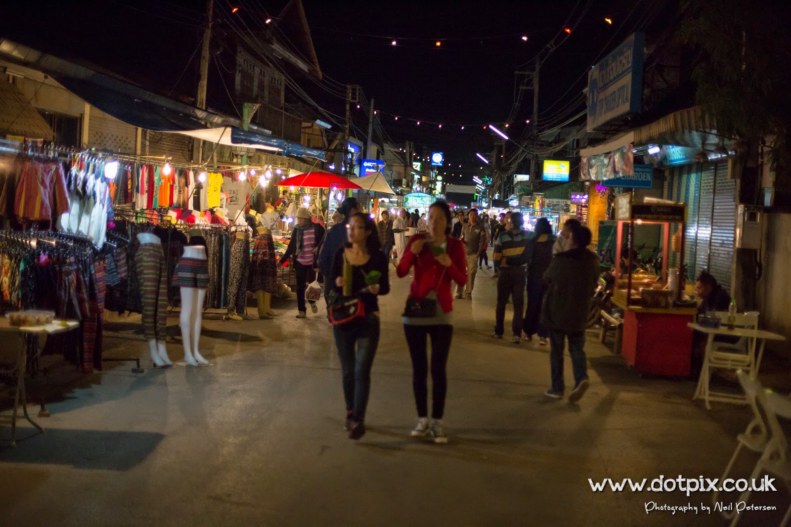
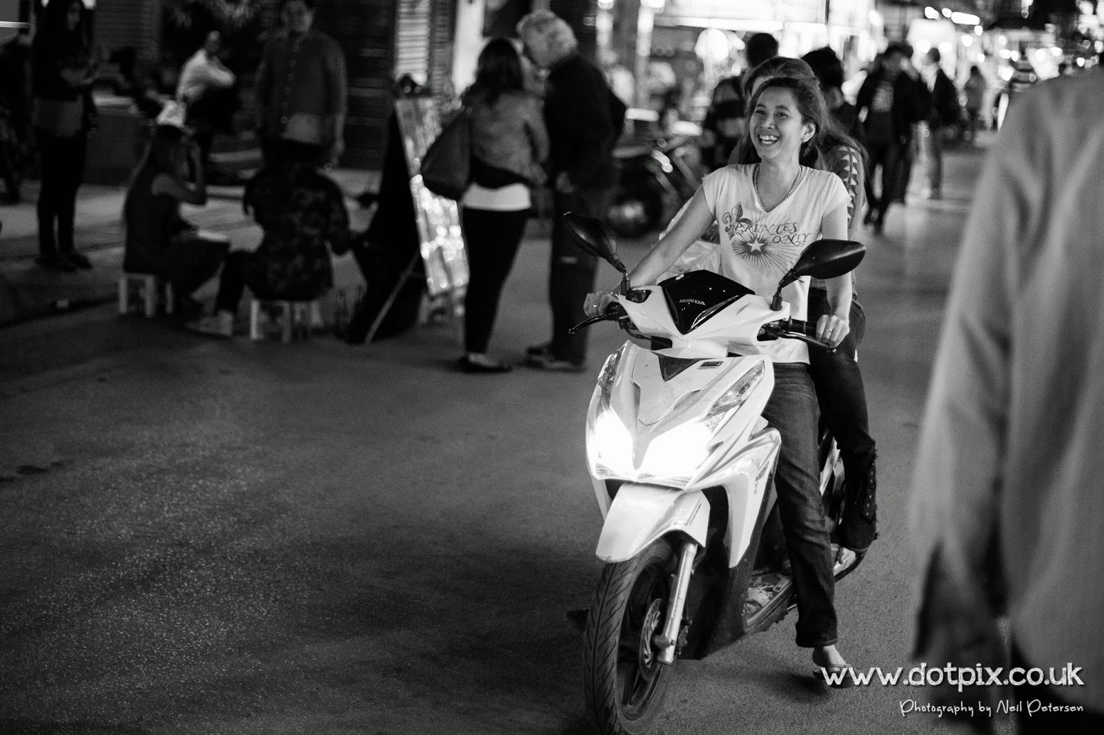
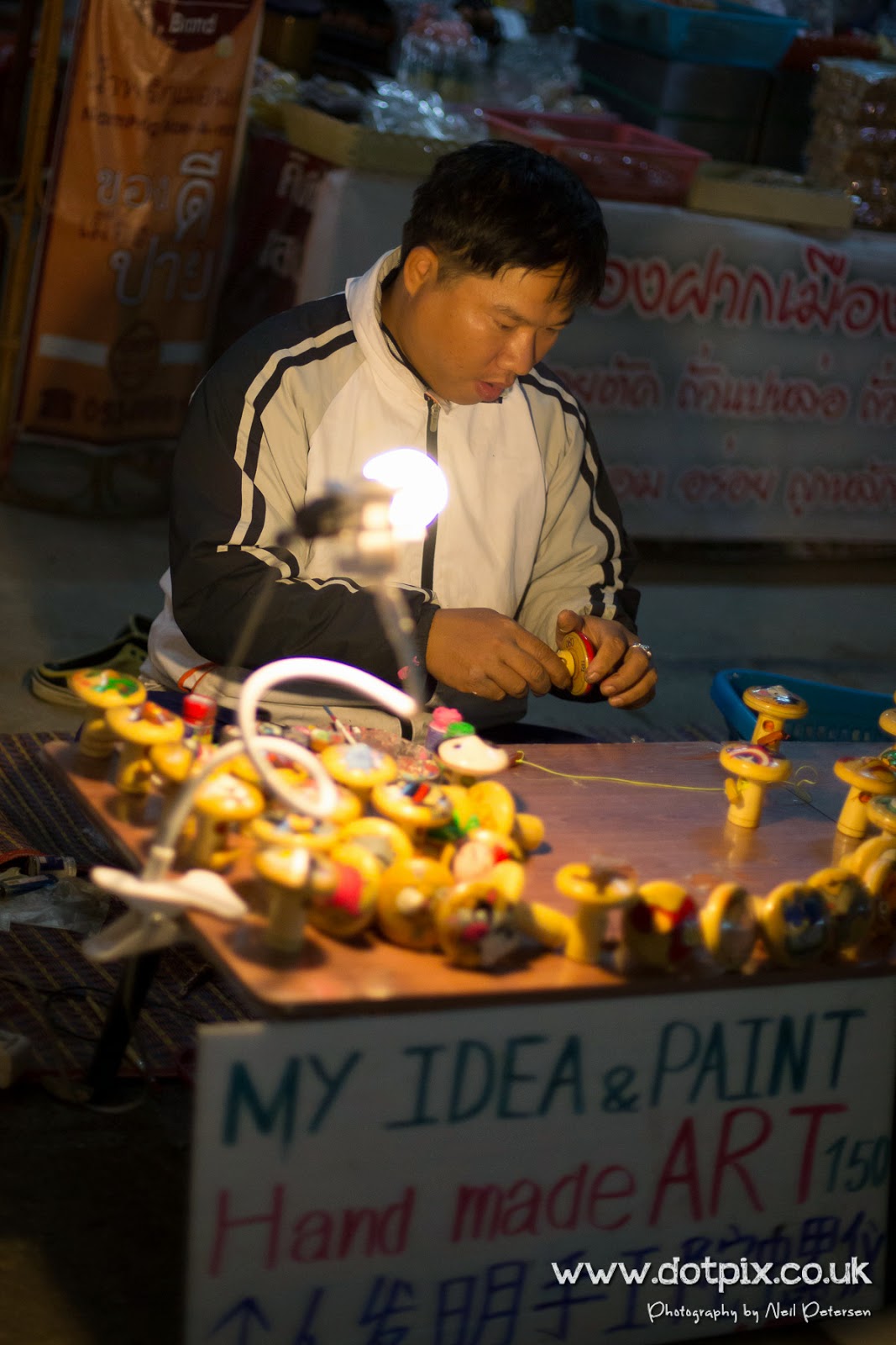
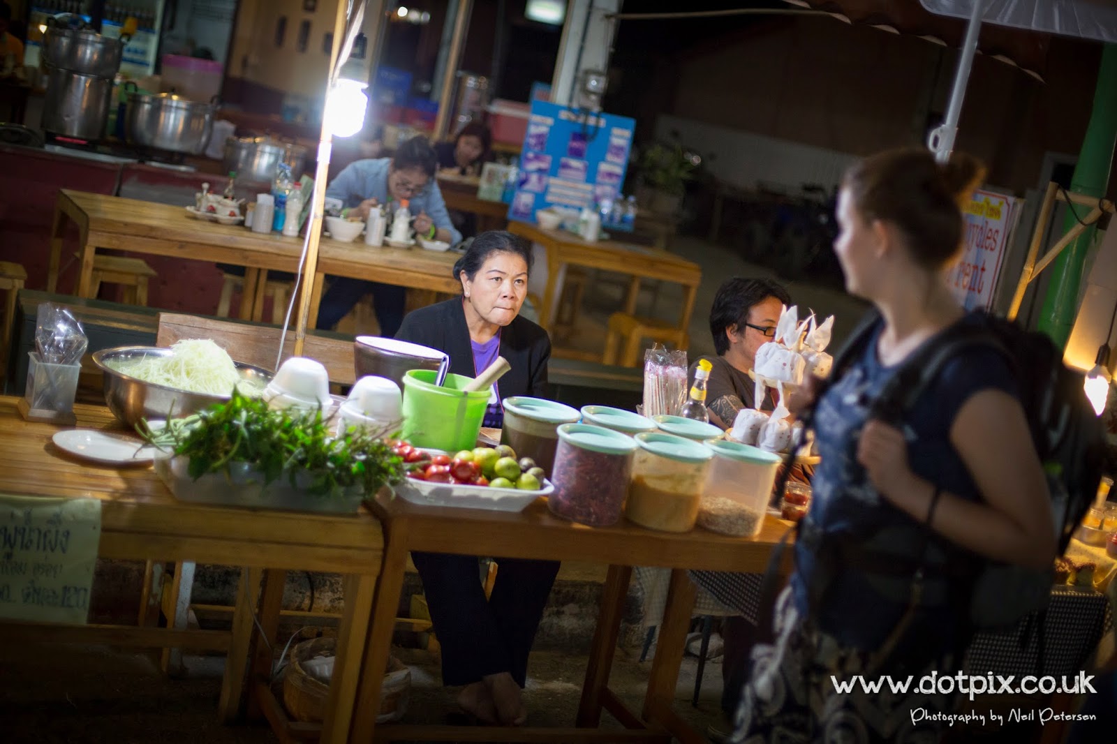
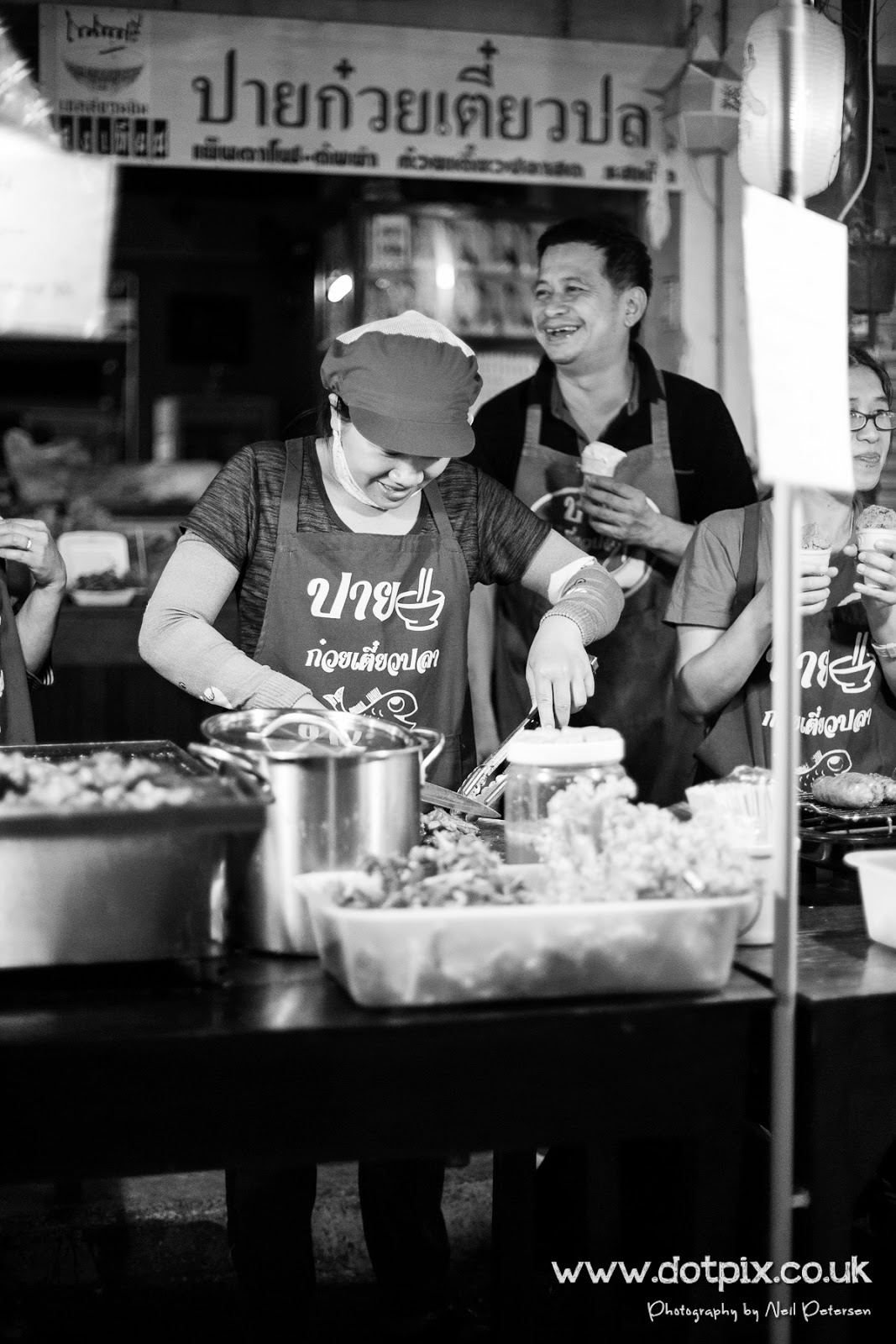
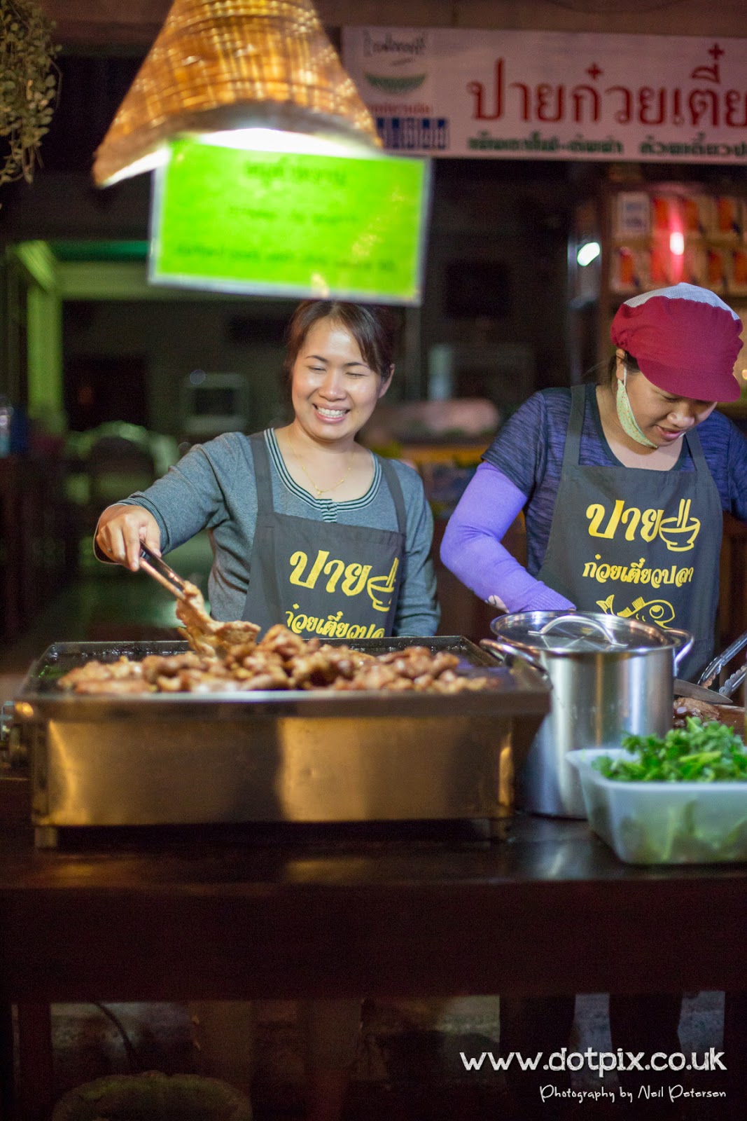
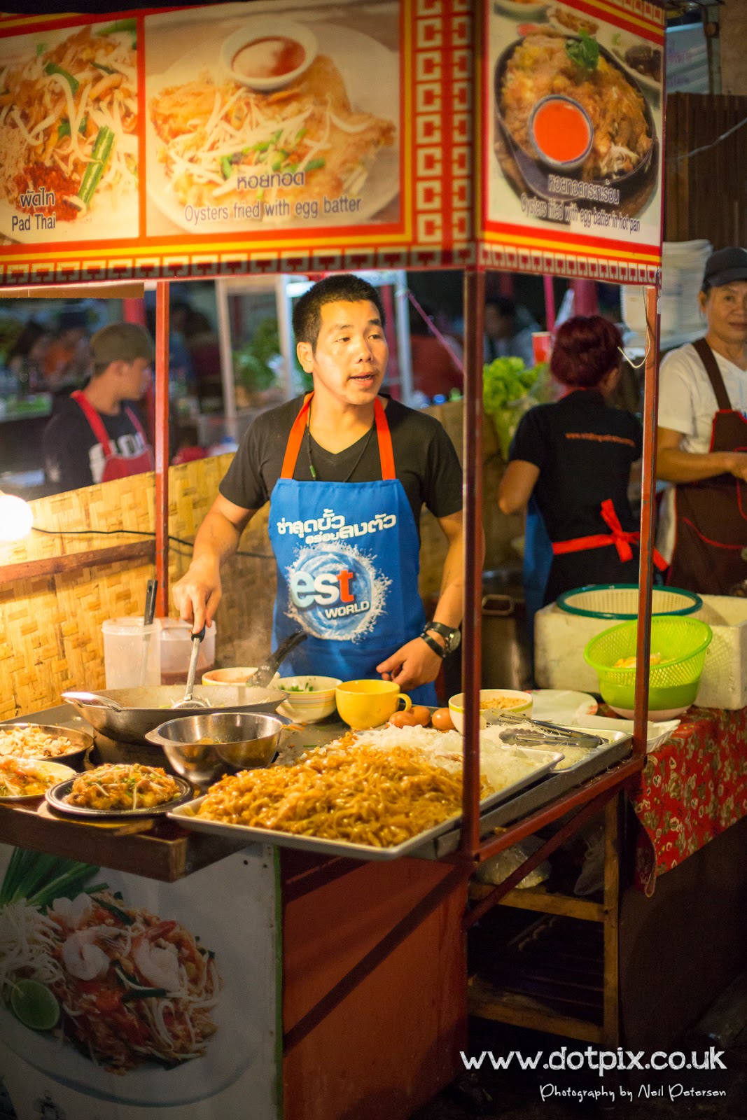
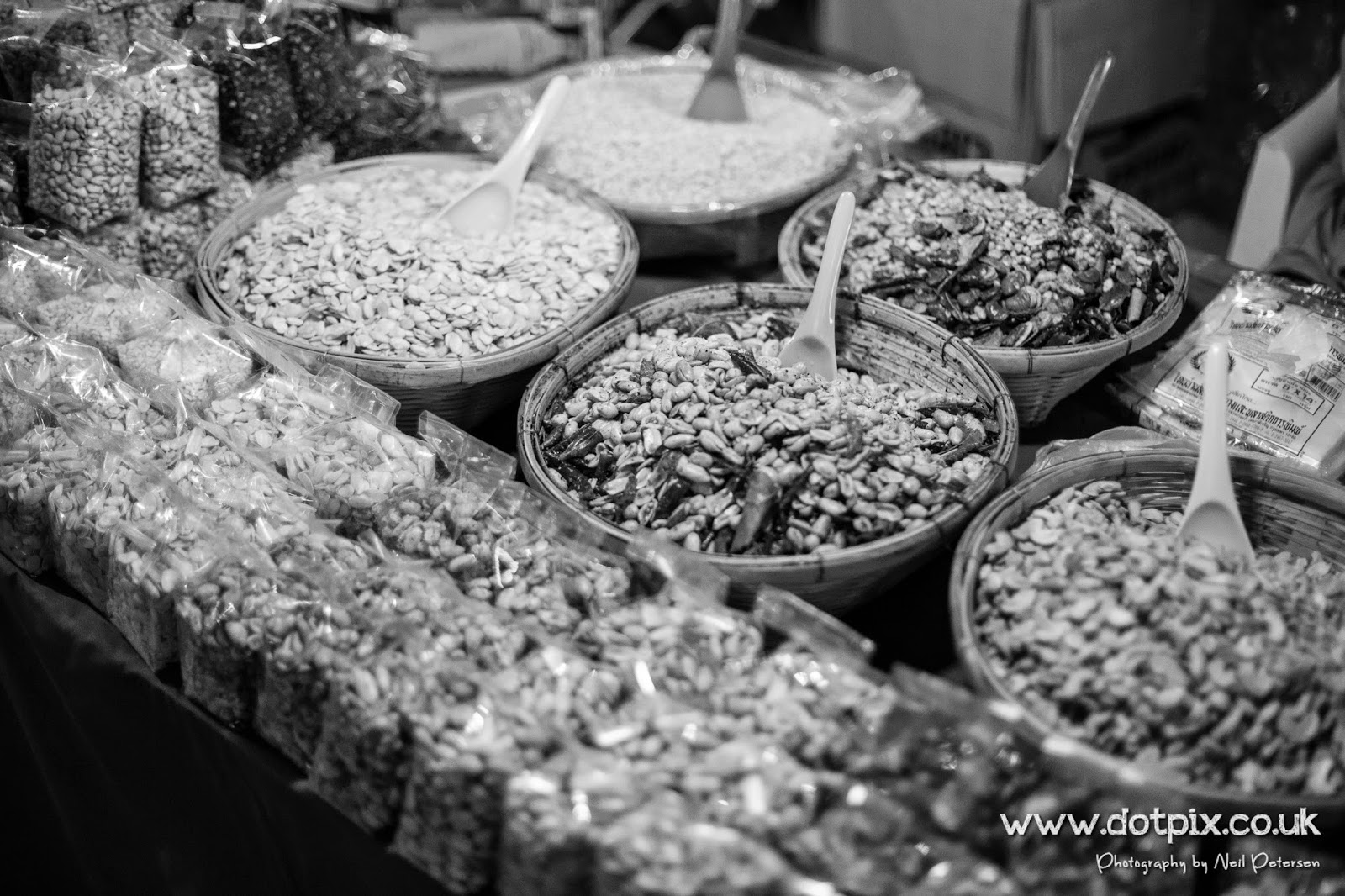
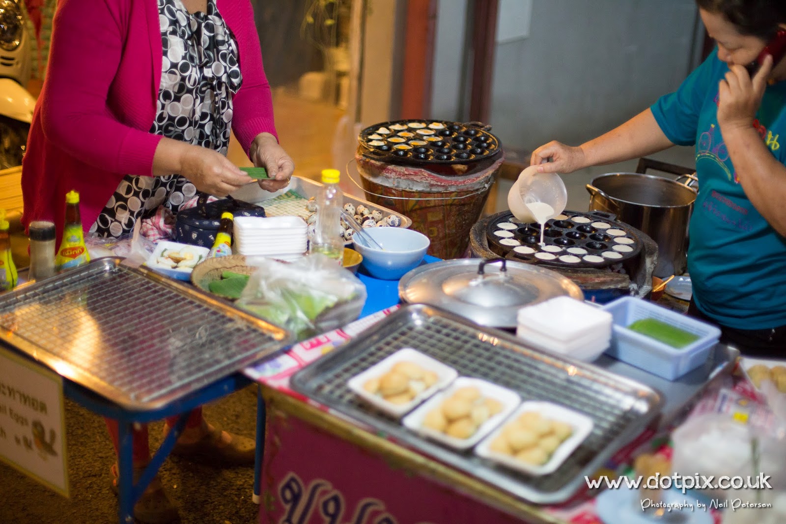
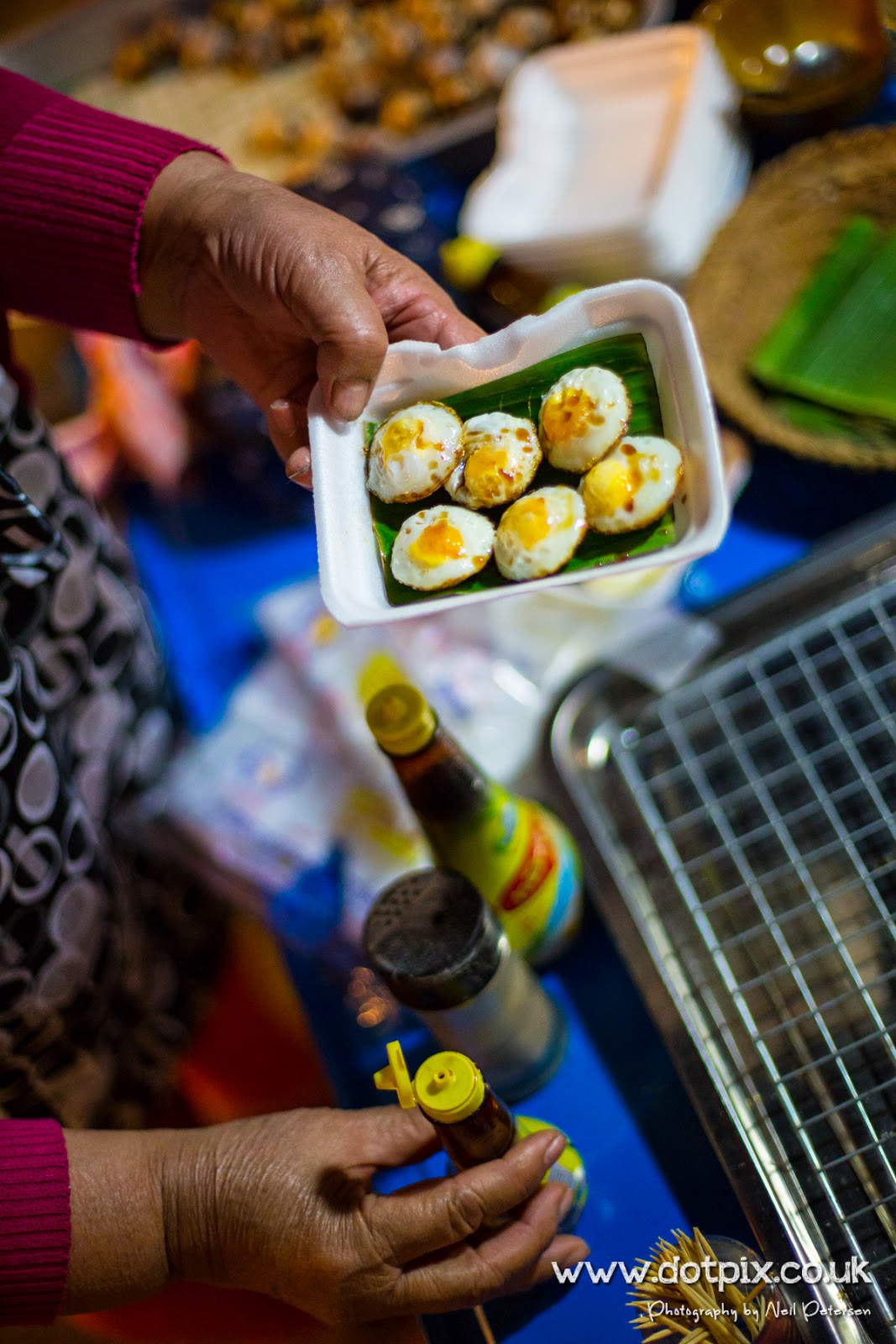
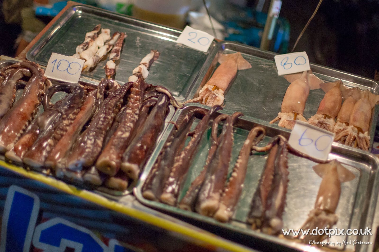
Here are a couple of photos I took yesterday.

_OTP1116.jpg

_OTP1150.jpg

_OTP1133.jpg

Today we are going to take a ride up to the Mae Kuang reservoir and have a look around, I can see there are a few trails to the west of the reservoir which we'll probably head out to after taking a look around.
 
Welcome to Rideasia Neil, there are indeed many interesting trails to the west of the Mae Kuang reservoir and you will enjoy exploring them
 
Mae Kuang Reservoir

So it's Monday morning, we woke up and went across the road for breakfast. I'm ashamed to say it, but sitting down for my full English we used Basecamp and planned a trip to the Mae Kuang Reservoir. Our aim to head out and take a look around and then west to some of the trails on the map, well that was the plan.

The sun was out and the sky was blue, the day was warming up nicely. We got kitted up and headed out to the petrol station to fill up for the day ahead. We followed the GPS to the Mae Kuang Reservoir. This involves the "wonderful" task of leaving Chiang Mai which was at first an experience and I now hate coming in and going out of the city. It seems everyone is out to kill you, central London seems like a walk in the park compared to this chaos.


Riding along the motorway/highway was the first time I noticed the sun shining down on my neck, sun tan lotion "what's that?" My motorcross jersey and my helmet didn't quite meet and had left my neck exposed to the sunshine so I would have to do something about that soon.


As we arrived at the reservoir, we found the original route we had planned had a locked gate across the trail so we turned around and headed down the to the waters edge. We pulled up and took off our gloves and helmets to get some air and take some pictures. We're greeted by a local who was sitting there on his boat with his fishing rod out (not a euphemism for the select few). He took a keen interest in the bikes, not speaking a word of English we said our hello's and he moved back to his boat.


The views at around the reservoir were beautiful, the weather was amazing and sunburn was becoming noticeable.


We headed towards Ban Pong Din and stopped off at a mini mart to get some suntan lotion at Pa-Miang, SPF50 was the call of the day. We sat outside and stripped off to take a break from the midday sun. As we sat there drinking some water and a coke, there was this repetitive sound of an 8-bit video game from the 80's. It turns out it was the electronic scales sitting outside the shop with a BMI warning feature. The problem was in Thailand people aren't normally very tall, I'm 188cm and about 85KG, the machine only went up to 180cm and with Scouse a bit taller I guess we wouldn't be using this.

Continuing along the road to the Doi-Saket Hot Spring (I'd normally at this point post a picture but to being honest it was the most picturesque image you can imagine). There was tourists there with what appeared to be baskets on the end of fishing rods, apparently these contain eggs, which you can boil in the spring (it did look warm as it was over 30 degrees that day and there was still steam coming from the spring).


We left the springs and headed towards Nam Mae Lao and followed signs for the waterfalls, I cant tell you the names as we was going to come back and write them down but things didn't turn out that way.


Following signs to the waterfalls we rode through a few villages, these didn't appear to be your normal tourist villages. You can normally tell the non-tourist villages from the "what are you doing here?" looks you receive from the locals, a quick "sa-wùt dee krúp" (pronounced Sa-wad-dee-kap which means hello and goodbye) and a wave returns a happy welcome and a smile.


We lost track of the waterfall but found a trail that went into the woods, this wasn't on the GPS but we went for it anyway. It turns out there was for it not being on the GPS as we got into the lane the path was blocked by fallen trees which were impassable on the bikes.


We headed up and over the mountain on another trail which was on the GPS. By this time we had ascended 2,800m. It was only later that night I look at the GPS and found it had a warning "very steep" and my god, was it.

Heading to Ban-Pok and down to Ban Mae Lai. Being this far above see level you would normally expect views at ever corner but as this was the "jungle", the views was inhibited by trees and plants. You would normally expect these corners to be cleared as a tourist attraction with a someone selling goods but there was no such thing. We finally came across a corner where we could appreciate the views. Here are a few of the photos I took.


Once we were back down the mountain we checked the GPS and found we were 35 Miles from our hotel so started to head back.


On the way back I had to stop and take a few pictures of these fields which for some reason made be stop as we were riding along the road. I was trying to get a picture of this field and the Buddha statue below in one shot but it was too far away.


Doi Suthep

After a waking up and heading the to market to get some lunch we decided to head up the mountain that is Doi Suthep. It's just outside of Chang Mai and clearly visible form the city.

We stopped at the first lookout and took a couple of photos but it was as good as it could be to trying to beat the sunset we continued up the mountain where we came across a trail up the side of the mountain. This is where I manage to get the bike going side ways up a hill and eventually dropped it. The bike and I was fine so no harm done and I'm sure there will be many many more of this to come as we continue our trip.

[video=youtube_share;J9MMP-qvriw]http://youtu.be/J9MMP-qvriw[/video]

After we was near the end of the trail we checked the time only to realise it was 5pm and the sun would be setting very soon so decided to head back to the road and continue to the top. Along the way we passed Wat Phrathat (Wat is a temple), but due to the time we passed this.


I had planned to use the GoPro to capture a time lapse of the sun setting but we got there to late and to be fair didn't stay there long enough, but to be fair there also wasn't a lot of movement in the sky. I promise the next one will be better.


At the top we was 17 miles away from the hotel and again, the views were beautiful.


Heading down the mountain we stopped off at the first view point. From here you can see Chiang Mai, I used the tripod I have brought with me to capture some long exposure shots of the city at night.

I took some shots with my 24-70mm lens at 24mm (1st shot below) but couldn't get everything in so changed to a 12-24mm.


The stars were beginning to show themselves but because of the light pollution wasn't as clear as they can be. We are heading off to Pai in a couple of days so I'm going to get some night shots around there.
 
I have to agree with Lone Rider Neil, these photos are upping the ante for all who follow, and have been before for that matter. I'm hooked and will be following your blog with interest from here on in.
Happy trails.
 
Good stuff Neil, thank you.

re that Buddha on the hill.
I was there yesterday and it's an interesting site and general area.
Off hwy 1006.

DSC04195.jpg

DSC04197.jpg

DSC04198.jpg

N 18.74911
E 99.17373

Wat Muang Kiao (just around the corner from the older Temple with same name).
 
Thanks everyone for your kind words!

Today we went to see the crashed Huey, headed out from Pai. It was quite an experience, a lot of fast straights to the very technical sections heading towards Nam Khong. I'll be writing a blog post for this tomorrow hopefully if the hangover allows it ;)

_OTP1911.jpg
 
Everyone Loves Pai

[h=2][FONT=Trebuchet MS, sans-serif]Goodbye Chiang Mai, Hello Pai[/FONT][/h][FONT=Trebuchet MS, sans-serif]We woke up early Thursday morning (well early for us), packed our clothes and equipment. Before we left the UK we had researched various methods and manufactures of motorcycle luggage that would fit the Honda CRF 250L. Im my head I had images of this (Klaus' very organised bike, you can read his ride reports on Ride Asia).[/FONT]
[FONT=Trebuchet MS, sans-serif]
[/FONT]

[FONT=Trebuchet MS, sans-serif]
[/FONT]

[FONT=Trebuchet MS, sans-serif][/FONT][FONT=Trebuchet MS, sans-serif]
[/FONT]
[FONT=Trebuchet MS, sans-serif]There were options of back boxes, panniers and tank bags and to be perfectly honest I just ignored these. The end result was this.[/FONT]
[FONT=Trebuchet MS, sans-serif]
[/FONT]

[FONT=Trebuchet MS, sans-serif]
[FONT=Trebuchet MS, sans-serif]
[/FONT][FONT=Trebuchet MS, sans-serif]
[/FONT][FONT=Trebuchet MS, sans-serif]I had brought my belongings in a backpack I used travelling in 2008 and a Lowepro [/FONT][/FONT]

[FONT=Trebuchet MS, sans-serif]rucksack for my camera and important stuff. Neil was slightly better equipped than I with his waterproof Oxford bag containing clothes and dry bag for electrical items. [/FONT]
[FONT=Trebuchet MS, sans-serif]Using 6 bungee cords (purchased for about hmmm lets say £1.20) fixed this to the luggage rack that seems to come standard on the CRF over here. Never the less they were secure and remained in place for the journey to Pia.[/FONT]
[FONT=Trebuchet MS, sans-serif]
[FONT=Trebuchet MS, sans-serif]We headed out of Chiang Mai and up the 107 and onto the 1095. We were in no rush to get to Pai, we just enjoyed taking up the views and the corners on the 1095 which makes up the Mae Hong Song loop. [/FONT][/FONT]

[FONT=Trebuchet MS, sans-serif]
[/FONT]

[FONT=Trebuchet MS, sans-serif][/FONT]
[FONT=Trebuchet MS, sans-serif]
[/FONT]


[FONT=Trebuchet MS, sans-serif]We arrived at Pai Country Huts, luckily for us they had 2 rooms left. At 600THB a night (about £12) they seem to be the most expensive of the huts they have but my are they worth it.[/FONT]
[FONT=Trebuchet MS, sans-serif]
[/FONT]

[FONT=Trebuchet MS, sans-serif]
[FONT=Trebuchet MS, sans-serif]Each has a hammock on the decking which is where I am now writing the blog. The air is warm and the sun is shining easily being 30 degrees today.[/FONT][/FONT]


[FONT=Trebuchet MS, sans-serif]
[FONT=Trebuchet MS, sans-serif]That night we headed across the bamboo bridge into town to get some dinner. In Pai they close the main road to traffic in the evening allowing local vendors to setup their businesses. Be it selling hand made custom flip flops to dim sum and quails eggs.[/FONT][/FONT]

[FONT=Trebuchet MS, sans-serif]
[FONT=Trebuchet MS, sans-serif]Pai is what you could call a hippy town, everything is very chilled out and the pace seems static compared to the hustle of the moat at Chiang Mai that we've been navigating over the previous week. There appears to be some people who came to visit years ago and haven't yet left. Dreadlocks and Thai pants are a common sight, mini vans full of tourists come and go along with the day trip trucks carrying people to the local sights and activities.[/FONT][/FONT]

[FONT=Trebuchet MS, sans-serif]
[FONT=Trebuchet MS, sans-serif]We had heard about a crashed Huey helicopter in the mountains at an army site. After a bit of research it seemed the was a differing of opinions about the difficulty level of the trails. We planned a trip using Basecamp and uploaded this into the GPS for the next morning, agreeing we would see how it went and turn back if there was anything above our level. It was going to be an early start so we went to bed to get some rest and boy was we going to need it.[/FONT][/FONT]

[FONT=Trebuchet MS, sans-serif]
[FONT=Trebuchet MS, sans-serif]
[/FONT][FONT=Trebuchet MS, sans-serif]Here are a selection of photos taken that night, I hope you enjoy them.[/FONT][/FONT]

[FONT=Trebuchet MS, sans-serif]
[/FONT]


[FONT=Trebuchet MS, sans-serif][/FONT]


[FONT=Trebuchet MS, sans-serif]
[FONT=Trebuchet MS, sans-serif]
[/FONT][FONT=Trebuchet MS, sans-serif]
[/FONT][FONT=Trebuchet MS, sans-serif]
[/FONT][/FONT]
 
Stunning photos, great info, following with interest. Thank you for posting.

I have a question for you regarding your gear - how did you fit it all in? I'm coming over in June and can't even fit my armour and boots in my 40 litre pack together because they are so bulky.
 
I have a question for you regarding your gear - how did you fit it all in? I'm coming over in June and can't even fit my armour and boots in my 40 litre pack together because they are so bulky.

Strap your gear to the outside of your backpack and have it plastic-wrapped at the airport for a few bucks, or wear it on the plane like a boss :) then disrobe, don flipflops and stuff gear into the overhead... Other than a few minutes of extra attention at security, wasn't a big deal...
 
Nice one, thanks - did not know you could do that. And if anyone sees a girl rocking the 'adventure boots with a dress look' at the airport, come say hi to me haha
 
Back
Top Bottom