Captain_Slash
Community Manager
- Joined
- Jun 28, 2011
- Bikes
- BMW 310GS Honda Wave 125 Honda MSX 125
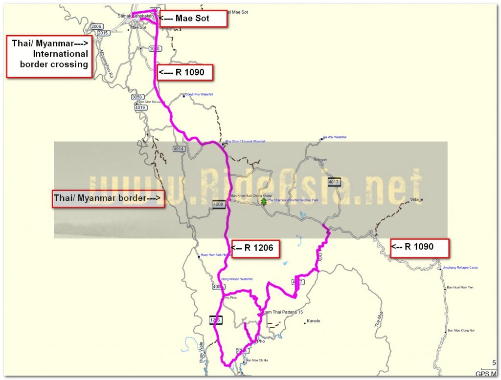
The Route 1090, 1206, 2043, 4007,
Total Distance 196 km

The twisty 1206 between Phop Phra and Waley


Some banana trees being planted along here


Surely there was room for a few more in there


Siesta time by the look of it


I stop along the 4007 at N16.23.632 E098.47.288 and here fuel is available at a hand pump, theres another one not far away at N16.23.686 E098.47.707


Now off to the Padee waterfall, the road turns to dirt at N16.25.358 E098.49.681 and I ride down a single track to it


The waterfall is signposted but access to see it is pretty bad, I climb down to the stream below and there seems to be a few all running in together but viewing most of the waterfall is very difficult


The GPS is showing I am at the border so possibly the water is the boundary, not that there is anyone here to worry about it


Now to ride back through the village


Another chap with a false leg


Riding through another village and just past here at N16.22.965 E098.44.528 is a fuel station

Theres a few villages out here and most of them seem to have the same surfaced grid pattern running through them

I finally get to do some unpaved today starting at N16.23.559 E098.44.320


The surface returns to paved at N16.23.944 E098.43.627.
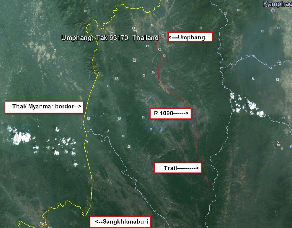
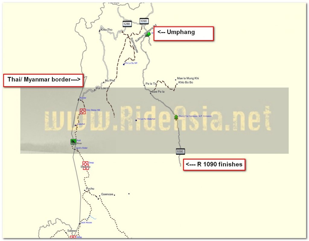
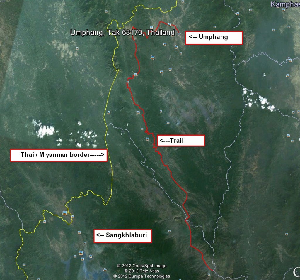
One more day out in this area should wrap up the mapping of the paved surface but it will have to wait as I am off to Umphang tomorrow as that place is a weekday attraction and usually quiet but complete bedlam at weekends or Thai holidays

Another lovely pizza at Casa Mia for 130 Baht

Followed by banoffee pie and cream for 35 Baht
You can get the gdb file from my website here … http://www.captainslash.com
Total Distance 196 km

The twisty 1206 between Phop Phra and Waley


Some banana trees being planted along here


Surely there was room for a few more in there


Siesta time by the look of it


I stop along the 4007 at N16.23.632 E098.47.288 and here fuel is available at a hand pump, theres another one not far away at N16.23.686 E098.47.707


Now off to the Padee waterfall, the road turns to dirt at N16.25.358 E098.49.681 and I ride down a single track to it


The waterfall is signposted but access to see it is pretty bad, I climb down to the stream below and there seems to be a few all running in together but viewing most of the waterfall is very difficult


The GPS is showing I am at the border so possibly the water is the boundary, not that there is anyone here to worry about it


Now to ride back through the village


Another chap with a false leg


Riding through another village and just past here at N16.22.965 E098.44.528 is a fuel station

Theres a few villages out here and most of them seem to have the same surfaced grid pattern running through them

I finally get to do some unpaved today starting at N16.23.559 E098.44.320


The surface returns to paved at N16.23.944 E098.43.627.
One more day out in this area should wrap up the mapping of the paved surface but it will have to wait as I am off to Umphang tomorrow as that place is a weekday attraction and usually quiet but complete bedlam at weekends or Thai holidays

Another lovely pizza at Casa Mia for 130 Baht

Followed by banoffee pie and cream for 35 Baht
You can get the gdb file from my website here … http://www.captainslash.com


