Next Great Adventure

NKPBob

Member
Joined
Apr 19, 2013
Location
USA
Bikes
CRF 450R
Hi all... I just joined the group and want to introduce myself. My screen name tells most of it. I'm Bob and I spent a year at the little garden spot in Thailand from '68 - '69; Nakhon Phanom (NKP). We were a little "pre-occupied" at the time so I never got to explore the country-side beyond a mile or so from town.

I am in the planning stages for a trip to Thailand and Laos during the next dry season. I've still got a lot of stuff to figure out. I want to explore a lot of the Ho Chi Minh Trail, so I've already been in contact with "Mr. Mapper". I also want to go other places like the PDJ, and a few of the "Lima Sites"... especially LS20A, LS36, and LS85 if I can get to any of them. I know that I need to spend more time than a tourist two week vacation, so I'm trying to figure out the logistics of that. Of course I don't speak a word of the language or know any of the customs.

I also want to explore places in Thailand I never went to. On the top of the list is Chang Mai. I'm considering making Chang Mai a base of operations, but I don't know if what will work well for the Laos part of the Adventure. Of course I want to go back to NKP... just because. I want to go across the Friendship Bridge to Thakek... again, "just because"; we were not allowed into Laos during my first "visit". Errr... we were not allowed to go into Laos on our own. At least in Thailand I do know some of the customs and speak a nit-noy bit of the language... the stuff a GI learns. I guess that still makes me a grande tourista... or should I say Farang.

I've already learned a ton of stuff on this Forum and will probably become a pest picking everyone's brains. I'm not particularly interested in seeing a lot of the regular tourist stuff. Sure, some of that is OK, but I'm interested in getting off the beaten path. I hope the folks here on the forum will bear with me... maybe even join me on some of the adventure.

Bob
Memories of Naked Fanny

P.S. Thanks to Ally for getting me signed up for the Forum.
 
Wellcome Bob, guess that "Mr Mapper" will be able to provide you with most of the answers. For LS20a and LS 85, at the moment I would say, stay far away from it (actually you won't be allowed to go anywhere near to them unless you have the right contacts who can organize the permits). In case you go there without permits, you might end up being questioned by the men in green (the army) and that is no fun as several people can confirm. Not sure if it is wise to make Chiangmai your base of operations as it will take you about 2 days to reach the southern part of Laos from there and two days to get back. Anyway, in case you have questions, just ask.
 
Hey Bob,

By the sound of it you have some plans coming together & I am sure this forum will assist you to develop them through to fruition.

I am so pleased you were able to complete your registration ok, you are very welcome here, your amongst good company ;)

Ally
 
One of my concerns is riding alone offroad in Laos... or Thailand for that matter. I hope I can tag-along with some other folks on their adventures. I was thinking of doing one of the tours like Ride LARA "enduro", but the places I want to go have stories to go along with them so I'm hoping I can do more than just a pass through that some tour is doing. Here's a list of some of the places I want to go on the Ho Chi Minh Trail in Laos.
Mu Gia Pass
Harley's Valley (It should be called it Harley-Guillet Valley but history doesn't have it that way)

Tchepone (Xepon)
Ban Phanop (Boxer 22 rescue area... I was a minor participant)
Ban Vangthon (Another Rescue area, Stormy02/Sandy02/Jolly Green 67... again, I was a minor participant)
Ban Laboy Ford
"The Chokes" (Three choke points... one north of Ban Kok Nak[Alpha], one north west of Ban Kha[Bravo], and one south of Ban Kok Nak [Charle])
Ban Nakok (I don't think this is really on "the trail", but it's where a friend was shot down.)
Muong Soui (Not on the trail either, but where my friend was shot down... the second time.)


There are a bunch of other places not on the trail that I hope to get to also. And of course Thailand. I haven't even started my list on those places. Besides going back to Nakhon Phanom, I think I want to go to a couple of former US Air Bases and I'll have to do some of the regular tourist stuff.

I have read with interest your thread on hammocks, and stuff for sleeping in the jungle. I hope to spend at least a few nights in the places where the pilots "got to go camping". Fortunately (hopefully) no one will be hunting me.

When I figure out what questions to ask, I'll start posting them in other areas. I'm open to all ideas and suggestions.
 
One of my concerns is riding alone offroad in Laos... or Thailand for that matter. I hope I can tag-along with some other folks on their adventures. I was thinking of doing one of the tours like Ride LARA "enduro", but the places I want to go have stories to go along with them so I'm hoping I can do more than just a pass through that some tour is doing. Here's a list of some of the places I want to go on the Ho Chi Minh Trail in Laos.
Mu Gia Pass
Harley's Valley (It should be called it Harley-Guillet Valley but history doesn't have it that way)
Tchepone (Xepon)
Ban Phanop (Boxer 22 rescue area... I was a minor participant)
Ban Vangthon (Another Rescue area, Stormy02/Sandy02/Jolly Green 67... again, I was a minor participant)
Ban Laboy Ford
"The Chokes" (Three choke points... one north of Ban Kok Nak[Alpha], one north west of Ban Kha[Bravo], and one south of Ban Kok Nak [Charle])
Ban Nakok (I don't think this is really on "the trail", but it's where a friend was shot down.)
Muong Soui (Not on the trail either, but where my friend was shot down... the second time.)

There are a bunch of other places not on the trail that I hope to get to also. And of course Thailand. I haven't even started my list on those places. Besides going back to Nakhon Phanom, I think I want to go to a couple of former US Air Bases and I'll have to do some of the regular tourist stuff.

I have read with interest your thread on hammocks, and stuff for sleeping in the jungle. I hope to spend at least a few nights in the places where the pilots "got to go camping". Fortunately (hopefully) no one will be hunting me.

When I figure out what questions to ask, I'll start posting them in other areas. I'm open to all ideas and suggestions.

Well Bob looking at your list you should be busy for a while I am guessing the areas you mention are Vietnam related maybe If you had gps co ords the guys on here can help you with routing etc.

Welcome to the riders forum.
Bob
 
I'm not particularly interested in seeing a lot of the regular tourist stuff. Sure, some of that is OK, but I'm interested in getting off the beaten path. I hope the folks here on the forum will bear with me... maybe even join me on some of the adventure.
.

Welcome Bob and I fully agree its much better to get off the beaten trail
 
Hi Bob,
Welcome I am reading your book now. I can say what a Gem for any war history buffs out there.
Detailed descriptions of what went on behind the scenes at one of the big airbases.
Great descriptions of the aircraft and the cargo they carried.

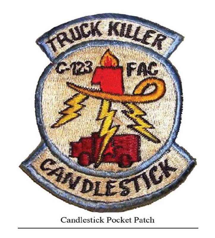
naked-fanny.jpg
War on trucks. I love this patch

cover.jpg
Here is the cover of the book.

I am reading on the Amazon cloud, however my Lao internet connection can be a bit "Spotty" which gives me some interludes in reading. GRRRRR
Further report to come

Legend of the Ho Chi Minh Trail
 
Mr Mapper... Don,

I suspect that I don't want to wear that patch while visiting.

Thanks for the kind words about the book. I haven't been back since '69 and I need to get back before the whole world over there changes. Another book I'm working on is about some of the guys that were shot down and rescued... and some not rescued. (You can tell by my list of places.) I only have a vague idea from words and some pics what it is like in places like Harley's Valley, or Ban Phanop. I want to find out for myself what it was like being out there in the jungle and imagine what it was like with a bunch of guys that you just tried to drop bombs on attempting to hunt you down.

Bob


Bob - Can you give me the link where I can buy this book? Looks fascinating
 
I didn't want this to become a sales outlet for the book... but thank you.

The best way for those of you in Asia to get the book is go get the Kindle version. I would just send it to you on a CD, but the shipping and handling would probably be more than the Kindle version. I'll bring a bunch of CDs with me when I get to Thailand/Laos, but that won't be till the next dry season. (Probably sometime after November).

If you want a hard cover copy, then you can order it from just about any online book store. You can only get the Kindle version through Amazon. In any case, the best thing to do is to go to the Kindle book online and read about it. Then click on the "Look Inside" and you can read through the first couple of chapters. That gets me through to my first night at NKP. Here's the link:

Memories of Naked Fanny: Robert Dennard: Amazon.com: Kindle Store

If you don't have a Kindle, not to worry. They (Amazon) has an app so that you can read a Kindle book on almost everything... a PC, a MAC, an iPad, and almost every kind of smart phone. Here's the link so you can download the app.

Amazon.com: Free Kindle Reading Apps

Bob
 
Ho Chi Minh Trail today

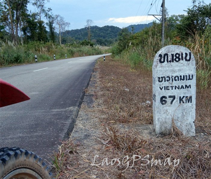
Here are a few shots from recent surveys along the trail....


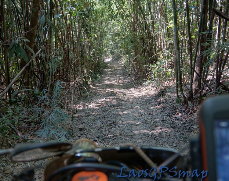
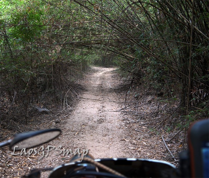
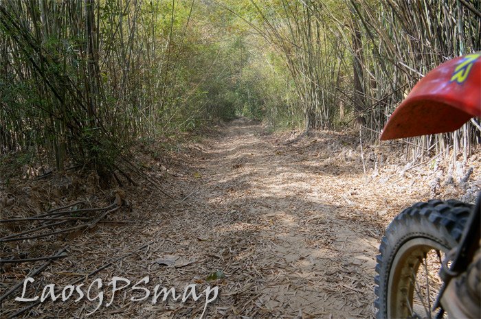
sihanook-trailbamboo.jpg

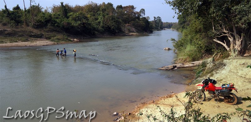
across the border in the jungle to Cambodia
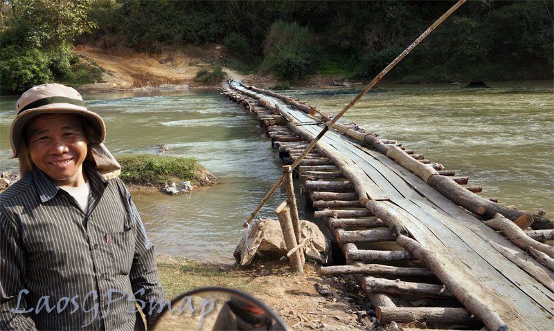
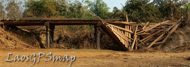
nam-kong-bridge.jpg
New bridge keeps the feet dry

ho-chi-minh-trail-Laosl.jpg
Border village Brau

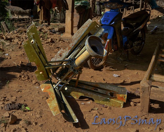
Snake-eye.jpg
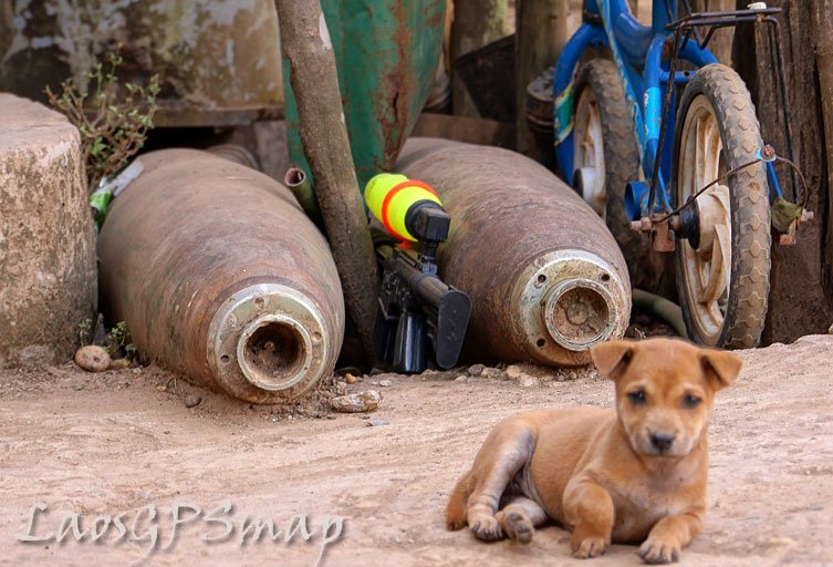
Snakeye tail fin from US bomb

trail-rocks.jpg
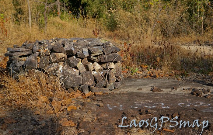
Rocks piled by the Vietnamese waiting to placed on the trail
 
Brau-villager.jpg
Brau Villager
Laosgpsmap.jpg
Phouvong

Cia-base.jpg
Remains of Cia base in the jungle used for Roadwatch teams on the Ho Chi Minh trial.

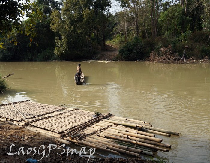
river-raft.jpg
Wonderful raft

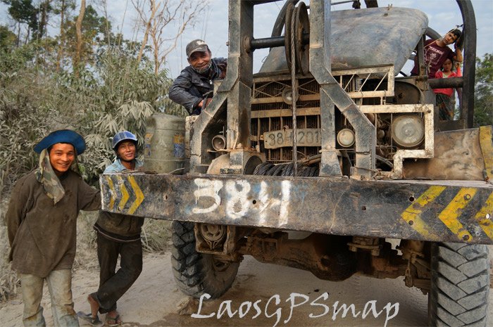
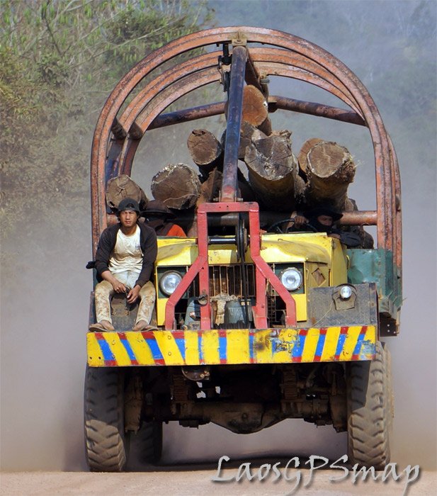
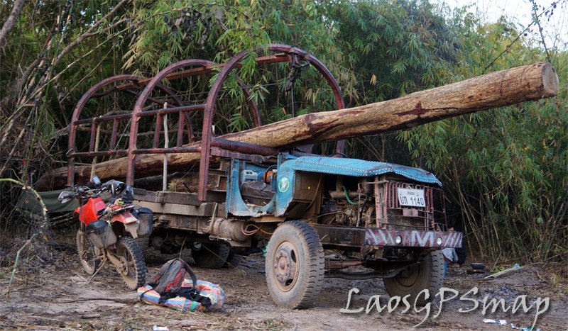
log-truck.jpg
Vietnamese loggers
 
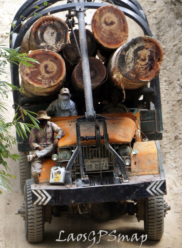
logging.jpg
Plenty of logging in the deep south along with hydropower construction

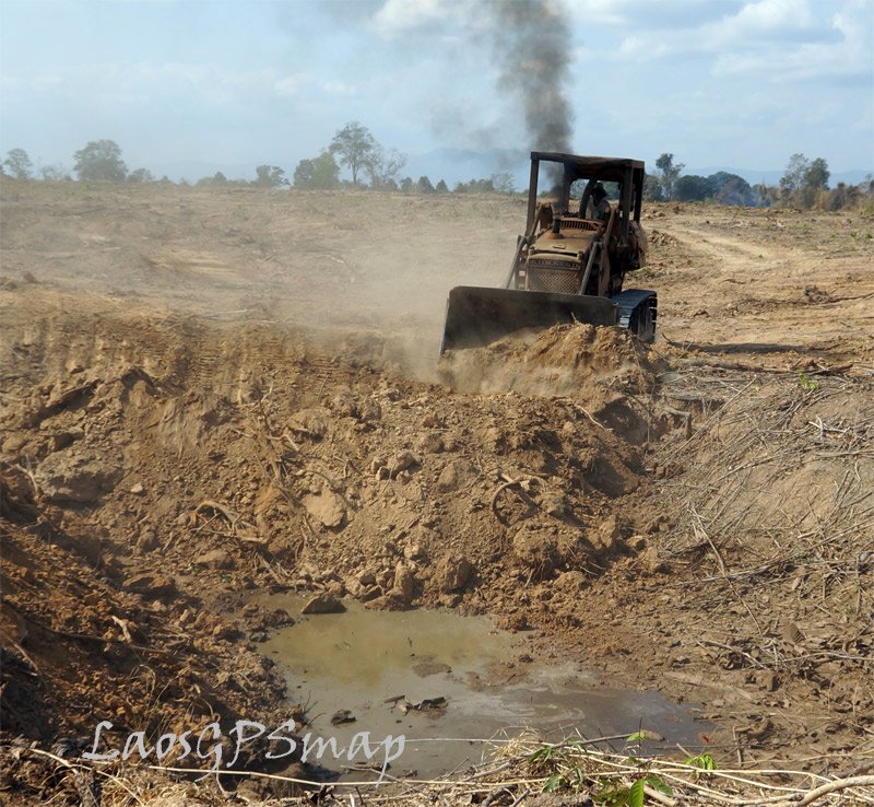
filling-bomb-craters.jpg
Dozer filling in bomb craters on HCM road 110

paved-road.jpg
Familiar scene
 
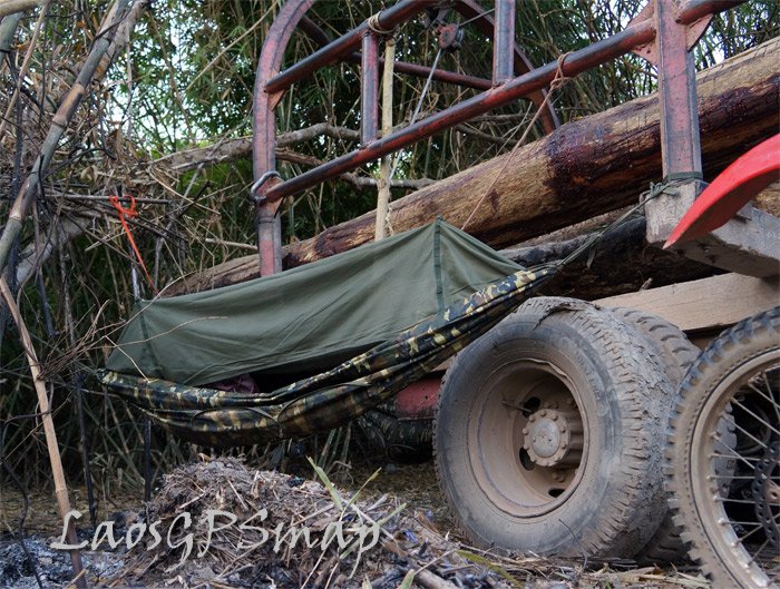
under-log-truck.jpg
I have allways wanted to sleep under a logging truck, so I did right here!
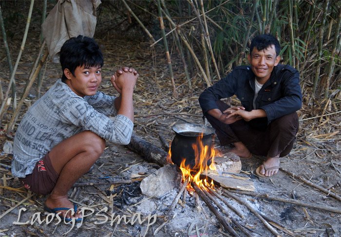
camp-site.jpg
Great stories from the friendly guys, I shared my tinned fish!


my-camp.jpg

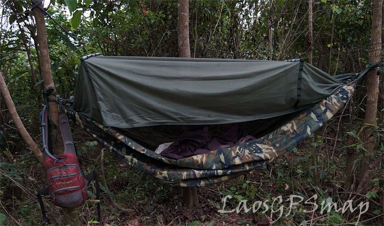
Camp spot
 
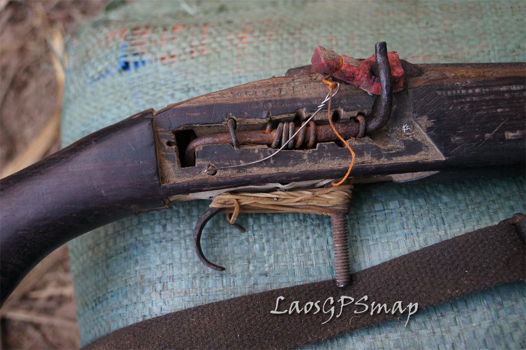
gun.jpg
This is the gun they were using to shoot birds
Good use of, rusty nails,rubber bands, foam from a flip flop a wood stock,

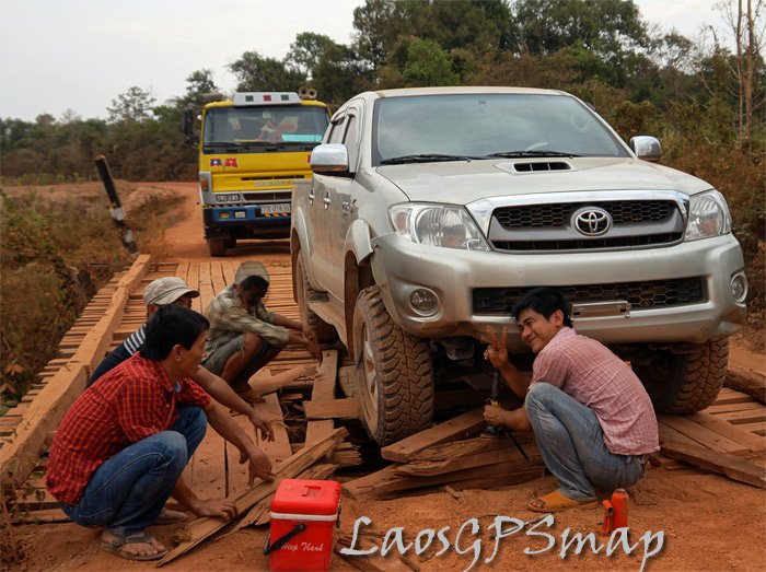
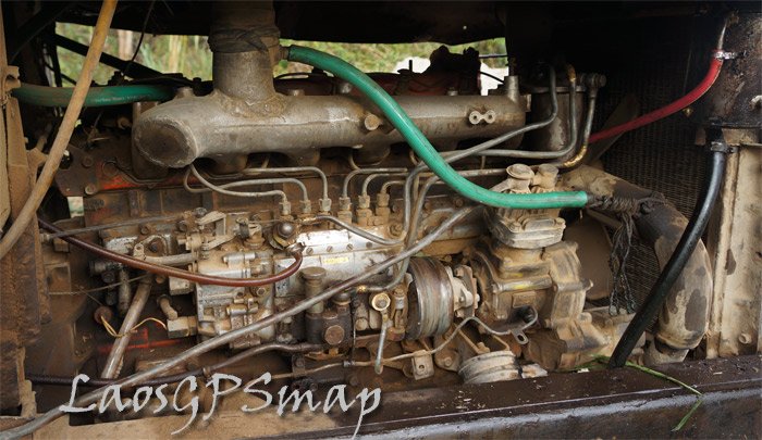
isuzu.jpg
Isuzu

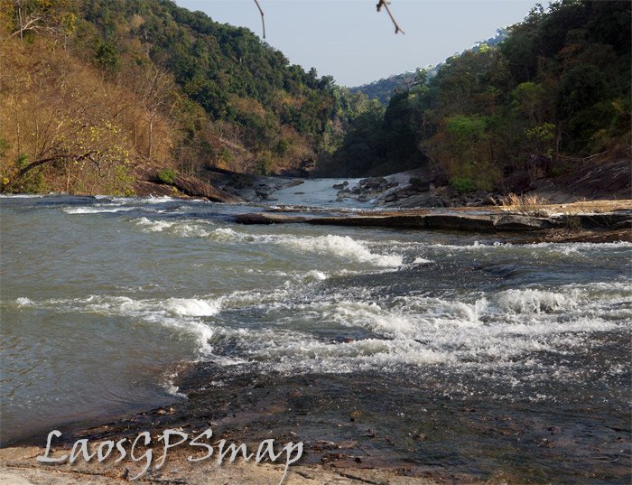
Nam-Kong.jpg
Rapids on the Nam Kong site of a future Dam
 
hcmtrail.jpg
Another great trail

loggers.jpg
These mad loggers blasting into the bush for a few days collecting valuable Mai Kon Yung
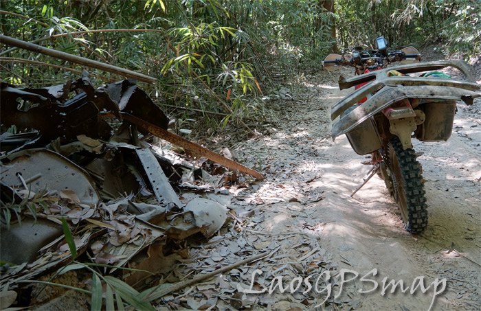
wreckage.jpg
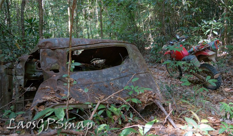
Sometimes I am not sure if I am tracking a genuine Ho Chi Minh trail? But when this truck wreckage is seen alongside the trail it is a sure indication!
Thats part of the windshield on the back of my bike.
 
Mr. Mapper,

I sure do wish I was there with you. Those are great pics and give some insight into the people too. You are the one on an amazing adventure.

I echo KTMPhill's question: How many KM have you done on "the trail"? I recognize that "the trail" is really a maze of roads, paths, and trails... not just a single trail so you must have done thousands of kilometers... maybe tens of thousands.
 
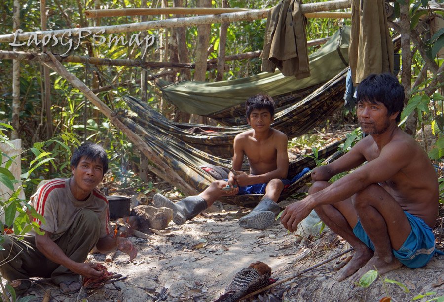
nother-camp1.jpg
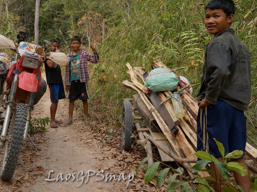
Another group of Ethnic tribes people camping, hunting and gathering wood.
Note the Guy on the right who had his harm blown off by a bomb during the war.

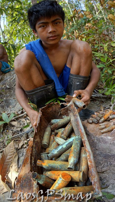
bullets1.jpg
The young guy found some anti aircraft ammunition along the Ho Chi Minh trail here
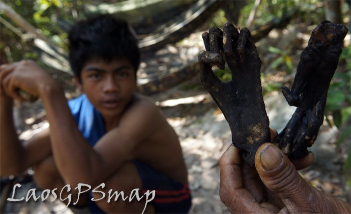
gibbon.jpg
Gibbons paws. Barbequed

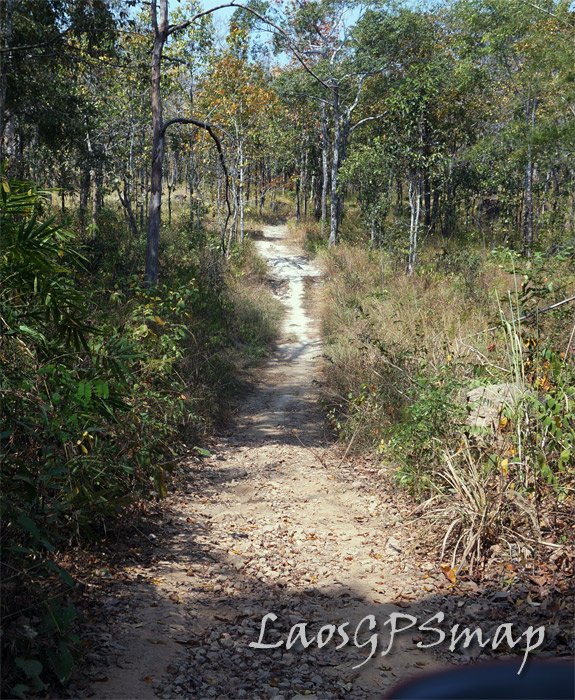
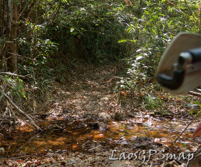
small-ho-chi-minh-trail.jpg
The trail is getting smaller the deeper into the jungle it goes
 
Phill,
I did not stay here that night, there was plenty of daylight remaining in the day, so on down the trail I went.

I have been exploring, mapping researching "The Trail" since 1993. There have been other explorers before me, and will be more in the future.
I can safely say,

I have traveled more of the Ho Chi Minh Trail, Than any man, "Dead or Alive",

No Brag, just Fact.


Well I can't wait for the next foray into the jungle! Because absolutely nothing beats the life "On The Trail".
 
zill-blown-up.jpg

Anther Russian Zill used by the NVA on The Ho Chi Minh trial.
This one was quit intact, being quite far from the scrap metal hunters reach.
 
A drive-by of Phou Phati also known as LS 85 on our way to Sam Neua

Resurrecting an old thread on "war sites in Laos" based on a trip the BigFellah and myself did recently from Mueang Viengthong to Sam Neua via Mueang Son so we would have an opportunity to have a peek at LS 85.

Here is an old movie shot from a helicopter of Lima Sita 85 including a peek into the control room. This video was released by the CIA in 2009. I had to fiddle around a bit with it to make it a bit lighter. I was told that the footage comes from a 27 minutes long movie which has been de-classified in 2012. The original 27 minute video might be available from the Eugene McDermott Library, Special Collections P.O. Box 830643, Richardson, Texas 75083-0643 or from the USAF Historical Research Center, Maxwell AFB, AL.

There is a lot of information on LS 85 available on the Internet so I will show here only a few pictures of the construction of the TACAN/TSQ 81 station on site (Tactical Air Navigation Station/Bombing control radar) as well as some other pictures of the condition at the top of the Phou Phathi mountain range before and after the site had been over-run by Vietnamese sappers in March 1968.

However, first a bit about what it is all about.

In the later half of 1966, the idea was conceived to install a Radar Bombing Control System (MSQ-77) at TACAN Channel 97 (Site 85) in Laos. The MSQ-77 is a sophisticated piece of electronic equipment to direct air strikes without the pilot actually seeing his target. The advantages being 1) that the aircraft can fly at an altitude reachable only by Surface to Air Missiles (SAM) and 2) bombing can be accomplished in all types of weather day or night. For those interested in the technology and how it works, have a look at MSQ-77_Bomb_Directing_Central

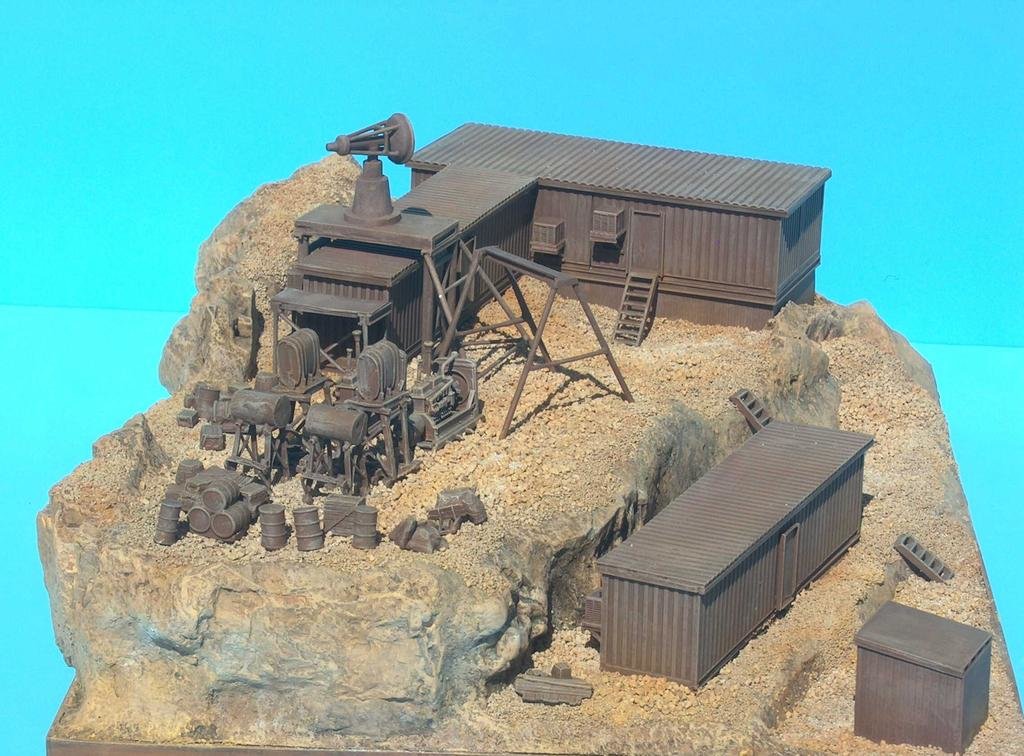
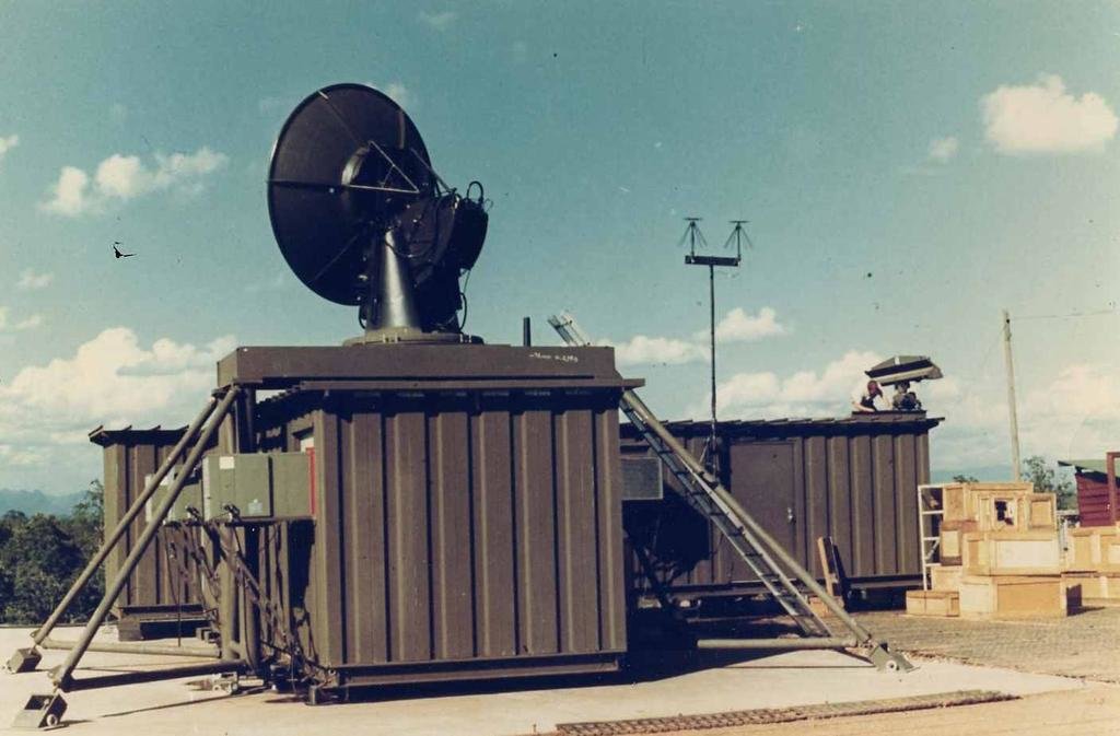
As the MSQ-77 was to large for most of the sites to be used in Laos and Vietnam, a "portable" version in the form of the TSQ-81 was designed and built and transported in pieces to the site where it was re-assembled. In the case of Laos with the Phou Phathi range chosen as the site where the system would be installed, the engineers had to split up the unit in various pieces so that it would fit on very small site.

This picture of a scale model shows how it all fitted together on the mountain top.
Lima5Compressed.jpg

Phou Phati

The remote mountain in northeastern Laos known as Phou Phathi to the Laotians and "the Rock" to the Americans who served there is a dramatic 5,600-foot ridge line that is just flat enough on top to support a few buildings built into the rock of the mountain and a small clearing that was used as a helicopter landing site. Located 100 miles south of Dien Bien Phu, 160 miles west of Hanoi, and just 25 miles from the Phathet Lao (PL) capital of Sam Neua, Phou Phathi was a place of great religious significance to the local Hmong and Yao tribesmen. They believed the forbidding mountaintop was inhabited by great phi, or spirits, who exercised supernatural control over the lives and circumstances of the Hmong people.

US Ambassador to Laos William Sullivan, however, believed the mountain was a poor choice for the location of secret Air Force navigational equipment because it was too close to Sam Neua and the PL but, as the air force needed the site, it was decided that it should be built. However, as Laos was neutral, approval was needed from the Lao authorities at that time which, after quite a bit of discussions between the US Embassy and the Lao Government, was given.

And so it was decided to install the unit.... the construction of the unit started in the US, was tested, shipped over to Thailand and the installation started... and was completed around the first week of November, 1967 only to be overrun 5-6 month later by Vietnamese sappers who scaled the mountain even-though most thought that this was impossible.

The unit ready for testing at a Government Airfield in Bryan, Texas. It passed all the tests and the unit was designated as TSQ-81 Serial Number 13 to be installed at Lima Site 85, Laos, code name "COMMANDO CLUB" . The equipment, housed in two 12x9x40 foot metal shelters, was disassembled and transported to Udon Thani RTAFB in Thailand.
tsq81_at_nkp.jpg

From Udon Thani the parts of the unit stored in boxes and containers were flown by Chinooks to Laos and via LS 20 (Sam Thong) and LS 36 (Na Khang / Mueang Hiam) to Phou Phathi were it was unloaded on a small helipad on top of the mountain about 3-400 meter from the site were it needed to be installed
1.JPG


During the construction, helicopters would lift the pieces bit by bit to the construction site but many days this was not possible due to low clouds, stong winds with sudden downdrafts, etc. so people would have to carry the materials piece by piece to the site
46.JPG
47.JPG


45.JPG
912_37C_jpg.jpg


915_58C_jpg.jpg


The helicopter pad (foreground) and the construction site on one of the tops of the mountain ridge
4_50C_jpg.jpg


Sometimes parts and people were flown in by "Short Take Off and Landing" or STOL aircraft to a dirt landing strip (Lima Site 85) on the west side of the Phou Phathi mountain ridge. The small silver object below the left arm of Lt/Col Farnsworth is a Pilatus Porter in the process of landing on LS 85 just below the site.
20.JPG


Fitting it all together

55.JPG


43.JPG


Power generators and Fuel Tanks
56.JPG


IFF (Identification, Friend or Foe), UHF (Ultra High Frequency), VHF (Very High Frequency) Antennas and Weather Station
10.JPG


Trailers and Electrical Equipment at Site 85.
12.JPG


The trailer with the open door housed the communications equipment. Trailer to the left was the TSQ-81 with the camouflaged Radar Dish. To the left were electrical generators and frequency converters. The living quarters are shown in the foreground. The outhouse was approximately 20 feet to the left of the living quarters.

More to follow with pictures taken by the PL and NVA after they had taken the site as well a short section on how to get to Ban Houayma which lies about 7 km. south of LS 85
 
Part 2 - A drive-by of Phou Phati also known as LS 85 on our way to Sam Neua

The Fall of Phou Phati and LS 85

As indicated earlier, the Phou Phathi mountain range was important for the Hmong not only for its religious significance but also, due to its inaccessibility, as one of the most critical bases for the Hmong guerrilla army opposed to the Phathet Lao (PL). The airstrip on the west side of the mountain and the helipad on top of the mountain resupplied a small command post, used by the Hmong officers and CIA paramilitary advisers, which in turn controlled harassing operations against the PL and North Vietnamese. The mountain had been captured briefly by the PL in 1959, using Hmong guides who had defected. These guides were necessary because only the local tribesmen who had spent a lifetime in the immediate area were able to navigate the difficult terrain and sheer rock cliffs of the Phou Phathi ridge-line. The loyalist Hmong had not forgotten this incident, and they had vowed to prevent its re-occurrence. History, however, remained against them.

In the fall of 1967 the CIA detected a considerable number of road building activities in the area from Dienh Bien Phu to Nam Bac as well as from the Xam Neua area confirming the fears that a substantial offensive was planned by the PL and the NVA most likely against Phou Phathi which was defended by some 1000 Hmong with 200 stationed on the top and the remaining 800 stationed in the valley below the base supported by an additional 300 Thai irregular forces both on the mountain ridge as well as in the valley. The few CIA officiers on site had their command post on the Helipad which was a 20 minute walk downhill from the TACAN/TSQ-81 location.

The PL and the NVA forces were well aware of what was going on at the mountain as the Hmong had clashed with small patrol units of the PL during late 19767 as well as early 1968 and during one of these clashed had gotten hold of a notebook which noted the presence of the TACAN unit in English. In addition, visitors to the site had been seen carrying cameras and while most of the visitors were assumed to be friendlies, some of them might have been sent by the other side.

LS 85 with 2nd and 3rd checkpoint edit.jpg
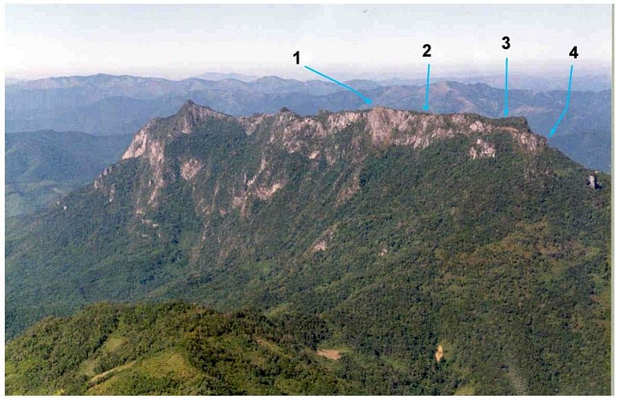
View of the Phou Phathi Mountain range with the location of the TACAN/TSQ-81 location (1), the helicopter landing pad (2), the 105 mm. Howitzer from the Hmong forces (3) and the location of the "ladder" about 3-400 meter from the end of the motor-able road (4)

By 9 March 1967, the PL had the mountain ridge surrounded with their forces and skirmishes were almost constant at the lower elevations. On March 10 in the evening a barrage of artillery fire was directed towards the top of the mountain ridge followed by intermittent artillery fire. The situation remained comparatively stable till about 3 o'clock in the morning on 11 March when the Vietnamese sappers reached the summit. They apparently were familiar with the site, slipped past the defenders of the site and systematically began destroying the buildings.

At the Embassy in Vientiane, the Ambassador lost touch with the situation after 0300, and radio contact was not re-established with the CIA command post at the helipad until about 0500. The Ambassador then ordered full evacuation at 0715, an hour ahead of schedule. The Air America helicopters were standing by and immediately tried to reach the site, as incoming fire had apparently ceased just before 0700. Approaching the summit, however, they drew fire from the sappers. The CIA officers assumed that the TACAN/TSQ-81 site had fallen and called in A-1E Sandys to strafe the site. Following this, the Air America helicopters managed to pick up the two CIA officers, the Forward Air Controller (FAC), and five of the radar site technicians who had hidden in the craggy rocks on the cliff face. One technician (CMSgt. Richard Loy Etchberger) was hit during the extraction, and he died on the way to Udon Thani.

Later that day hopes of recovering the missing Americans were discarded and attention turned to destroying the site and from late morning on the 11th through the 18th of March some 95 sorties were directed against the summit to obliterate all traces of the COMMANDO CLUB on Phou Phathi. On the 19th, two A-1 Sandys leveled every building on the ridge. This aerial barrage had the collateral effect of probably obliterating the remains of any Americans who were left on the mountain. By the way, pictures available in the archives of the Vietnam News Agency of the TACAN-TSQ-81 after it had been captured show damaged building but also buildings which survived the American firepower to some extent

VNA File Photo L7949, L7950 and L7953
vna_l7949.jpg


vna_l7950.jpg


vna_l7953_trn17_tacan.jpg


This photograph of LS 85 was taken by USAF Lieutenant Colonel Jeannie Schiff in 1994, as part of the Lima Site 85 Recovery Effort. This photograph shows an aerial of Phou Pha Thi with basically nothing left on the site in 1994 -
LS85_Phou_Pha_Thi.jpg


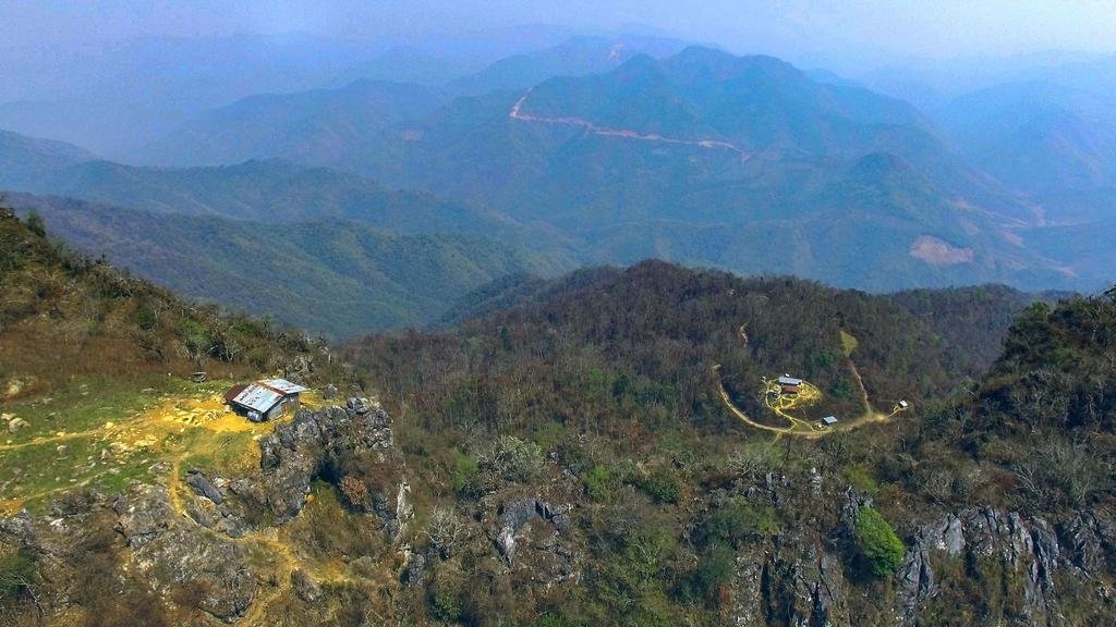
Below is a VNA archive picture (VNA File Photo L7948) of one of the Hmong fortified positions which (according to the coordinates) may well be the Lao Army Post which is now located at the end of the motor-able road shown on the picture we shot during our visit some 2 weeks ago (building on the right).
vna_l7948.jpg


0z6a edit.jpg
Picture copyright: Stratos

By the way, the movie shot with a drone of a flight over the Phou Phathi range is here: Some Drone Shots in Laos

Where is it and How to get there

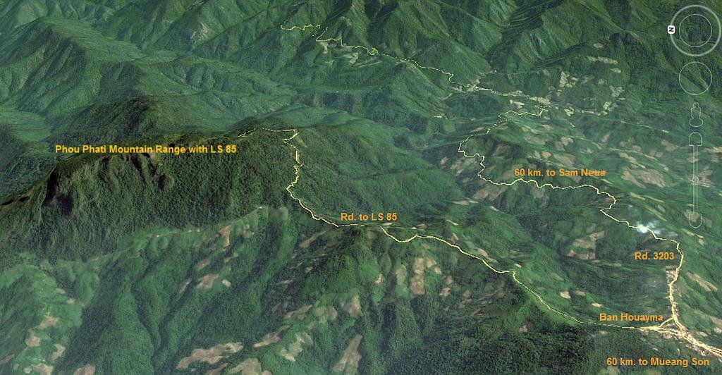
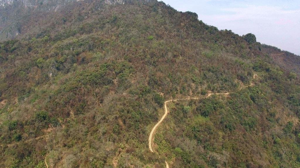
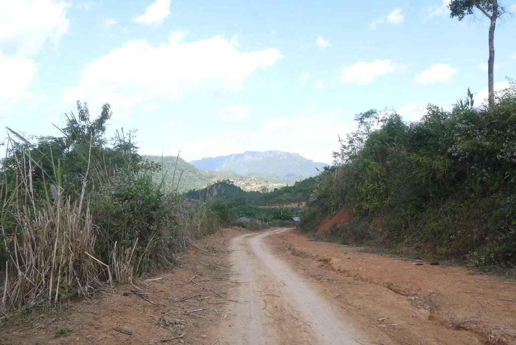
The Phou Phati mountain ridge is located about halfway along and about 7 km. north of Rd 3203 which runs west from Sam Nuea to Mueang Son. This road is being upgraded but it is still quite bumpy but well doable by car (we did it in my truck) as well as by motorbike.

Location of LS 85 annotated.jpg

0z3a edit.jpg
Part of the the road to Phou Phati - Picture copyright: Stratos

View of LS 85 from the west.jpg
The road coming from Mueang Son with the Phou Phathi mountain range and Ban Houayma in the background

However, it is difficult to know whether visits to this area are welcome or not. There is extensive road development going on in that area, which one could take as a welcoming gesture, however, visitors to the area have had varying levels of tolerance and acceptance in the past.

We/I do not want to encourage activities that may or may not be welcome, so please, make your own assessment of risk and exercise good judgement. At all times follow the guidance of local authorities and maintain cordial relations with our hosts in their country.


Main sources of information used as well as links and/or references contained in these sources of information:

The Fall of Lima Site 85 - The War in Laos - https://www.cia.gov/library/center-...ons/csi-studies/studies/95unclass/Linder.html as well as other sources of information from various source like:
Battle of Lima Site 85 - https://en.wikipedia.org/wiki/Battle_of_Lima_Site_85
Lime Site 85 - https://en.wikipedia.org/wiki/Battle_of_Lima_Site_85
Lima Site 85 - http://ravenfac.com/ravens/articles/lima-site-85.html
Lima Site 85 Laos - http://limasite85.us/
Battle of Lima Site 85 - http://gutenberg.us/articles/battle_of_lima_site_85
“We . . . pushed our luck one day too long” - http://thisainthell.us/blog/?p=34965
In Memory of LS 85 HEAVY GREEN 10-11 March 1968 - http://tlc-brotherhood.com/Forum/index.php?topic=2309.0
 
Back
Top Bottom