Gnasher328
Senior Member
- Joined
- Aug 9, 2012
- Location
- Chiang Mai / New Forest, England
- Bikes
- Ducati 851 & Mille S2, HD FXR, Trumpet R3, BMW R100RS, CRF 250
How not to get there! Not really sure I shoud admit to this cock-up but here goes.
Odd how a few days ago I realised my ride on the 'Elephant Trail' via Wat Chan was revisiting my first complete 'out of depth' experience riding in Thailand two years ago on a rented CBR250 when Pai, which I am a bit cynical about, became the most wonderfull welcoming oasis since 'Beau Geste' got lost in the desert.
After the last few days of tracks I had decided an easy day was in order.
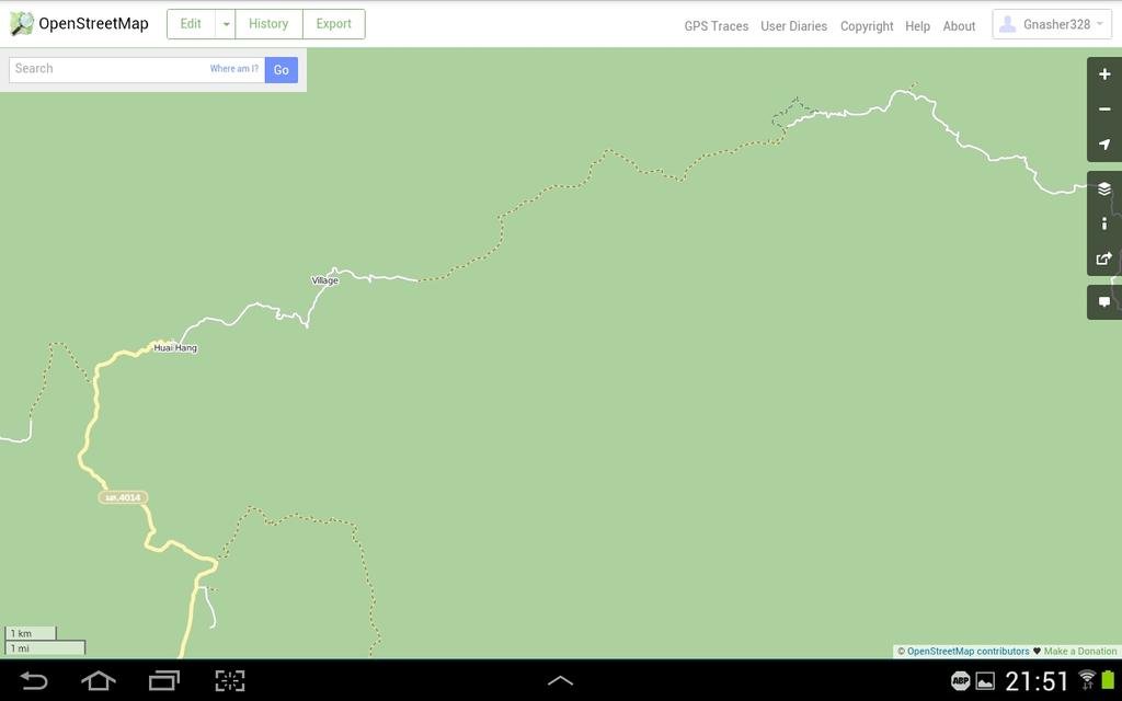
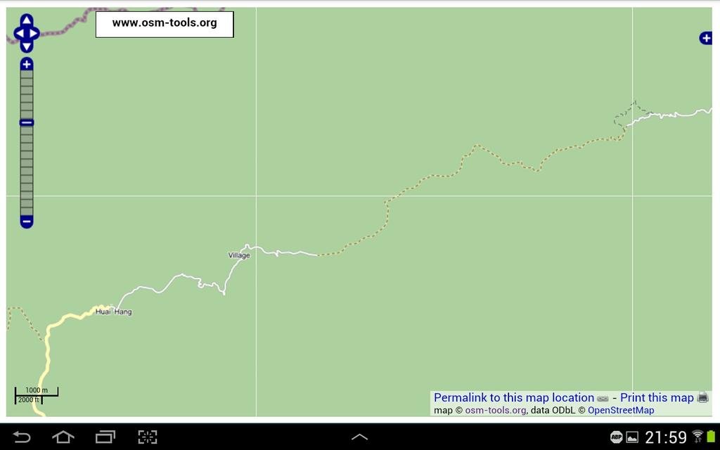
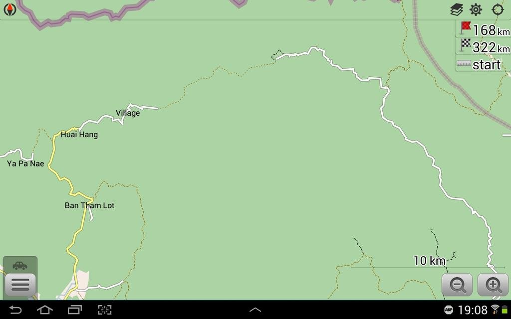
From Soppong, OSMAND showed white and yellow thick solid roads to Ban Arunothai, no dotted tracks at all. Should be a breeze so I made a late morning start after pottering around the Tuesday market in Soppong.
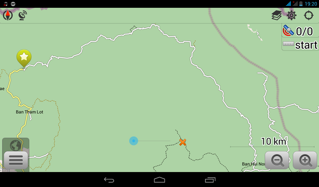
It started well enough-
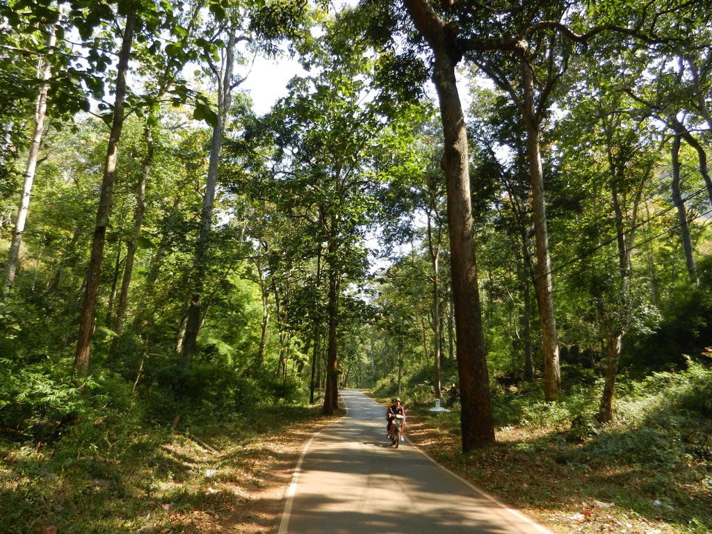
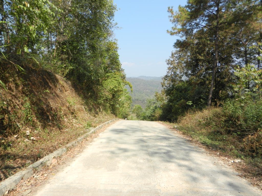
The first 20 or so k went ok, then I hit my real weak spot, thick bull dust. It went on for around 20k's and I kept thinking 'It'll get better soon'.
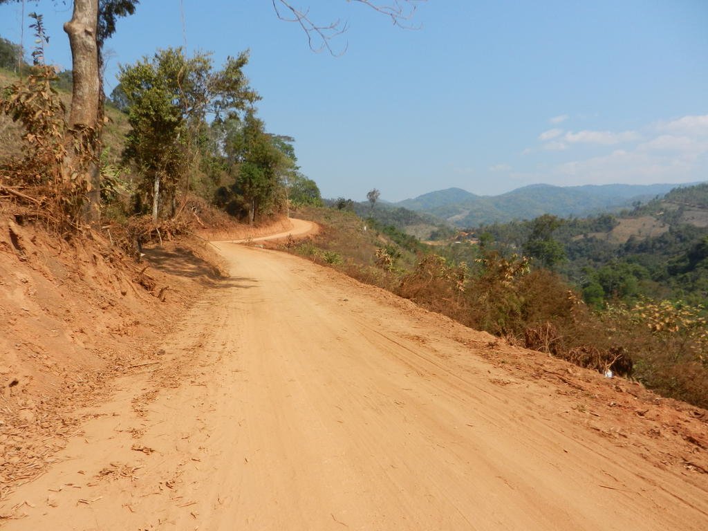
Every so often there would be a respite of some solid stuff, and eventually I came to a small village where the track forked. I followed what I thought was the right track and was bought to a halt by a river and a herd of sleepy buffalo.
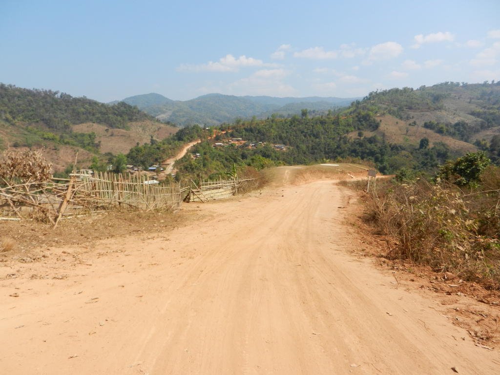
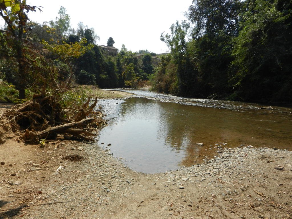
I slowed right down so as not to spook them but they shifted real fast, luckily in the opposite direction. Thinking this can't be right, I did a 'U'ie back to the village, only to end up in a dead end in the centre and a school yard.
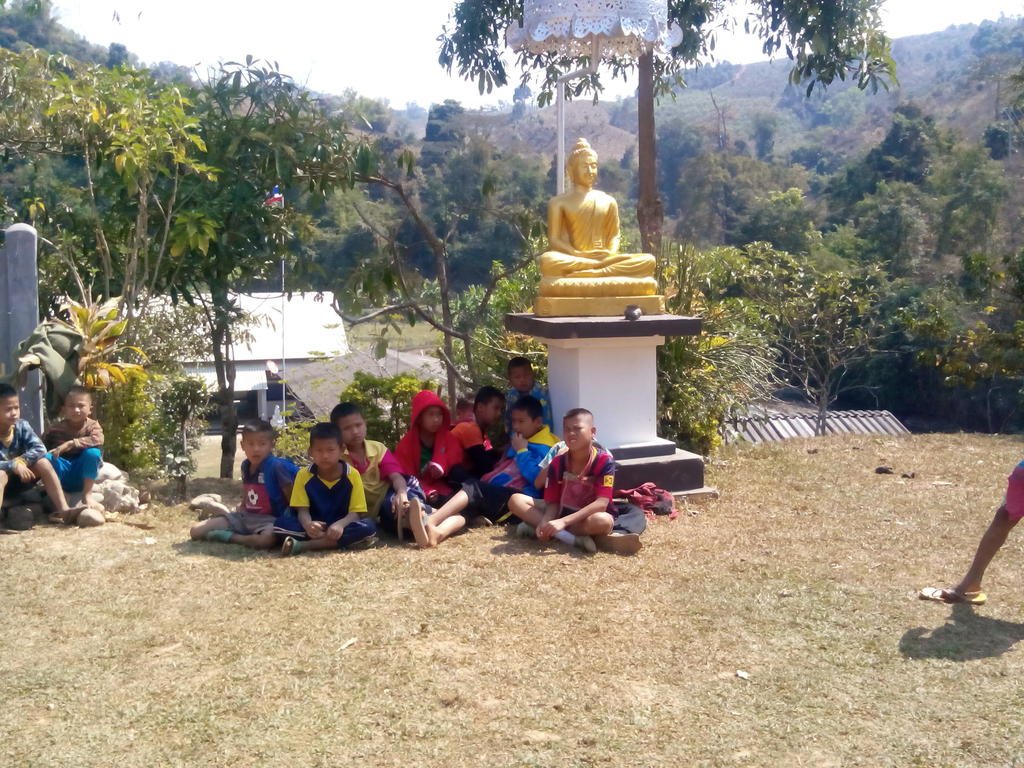
Trying to ask the way resulted in lot's bashfull titters from the girls at a noodle shop but they directed me to the mater out back, and she indicated I did in fact need to cross the river. So for the first time I got my boots wet. It was surprisingly easy which might have given me a false sense of security but this should have been a warning that this was not a regular throughfare.
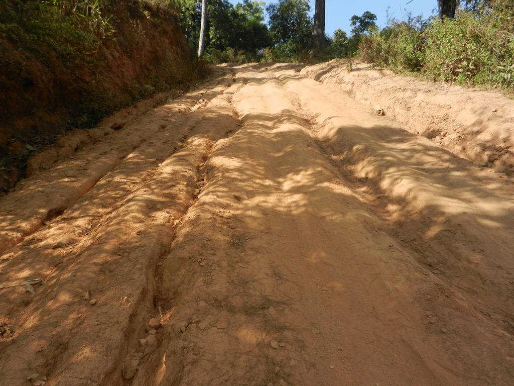
More bull dust then the track seemed to narrow to single way. Then it became more rocky and vertically challenging, and the ruts became small ravines. I carried on thinking again it would improve but it got steadily worse. I checked I was still on course and thought of turning back but some of the worst rocky bits had been uphill and I really didn't fancy trying them downhill, let alone all the soft stuff again.
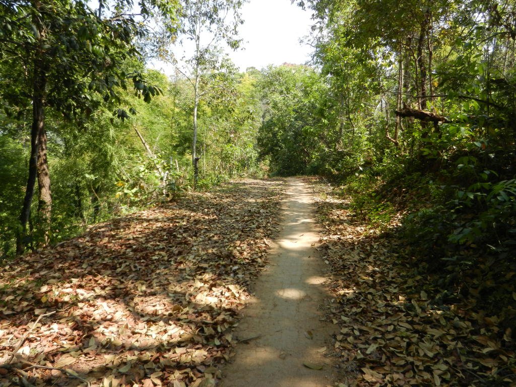
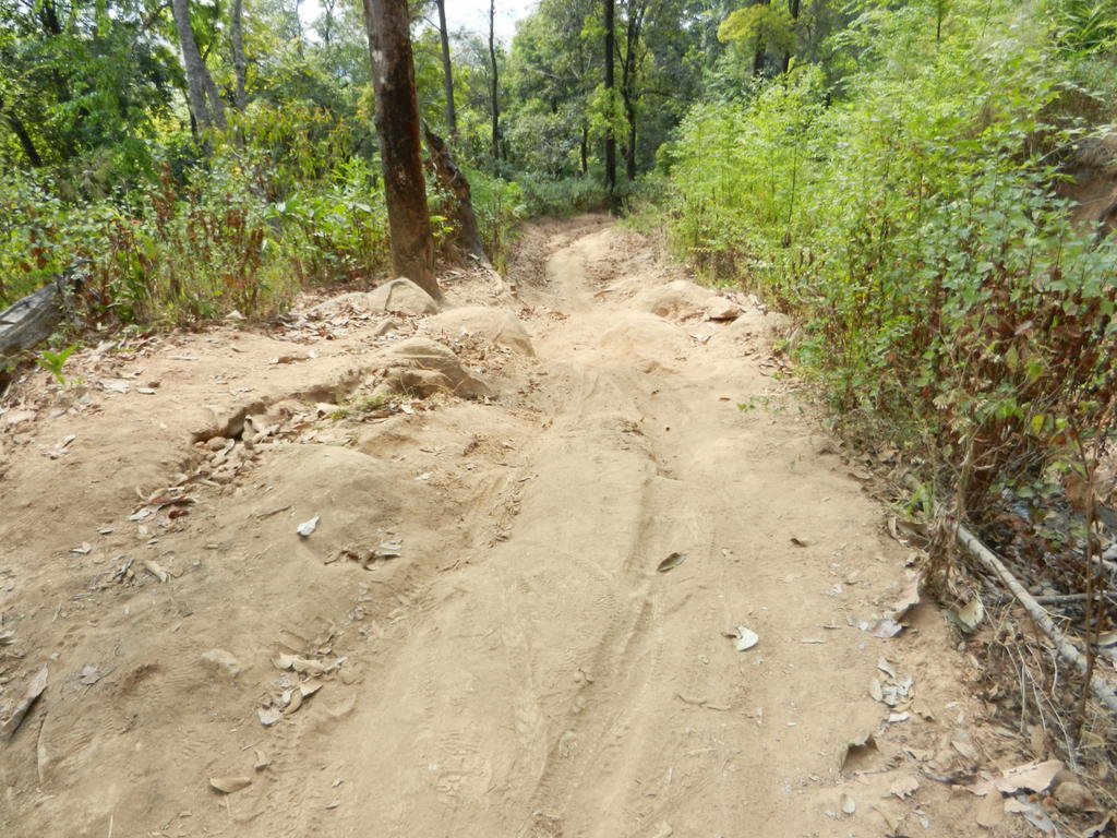
Soon it got to the point where parts were less than 6'' wide with crevasses several feet deep each side - and I started to worry. If I put a wheel wrong by inches I would drop into a rut and no way would I get the bike out, also I could see no way a 4x4 could have rescued me and carted the bike to safety. I told myself if I got out of this I was going to visit a Wat and light a candle, then get really drunk.
This went on for @25k, until I came down a hill and spotted some buildings and a bulldozer.
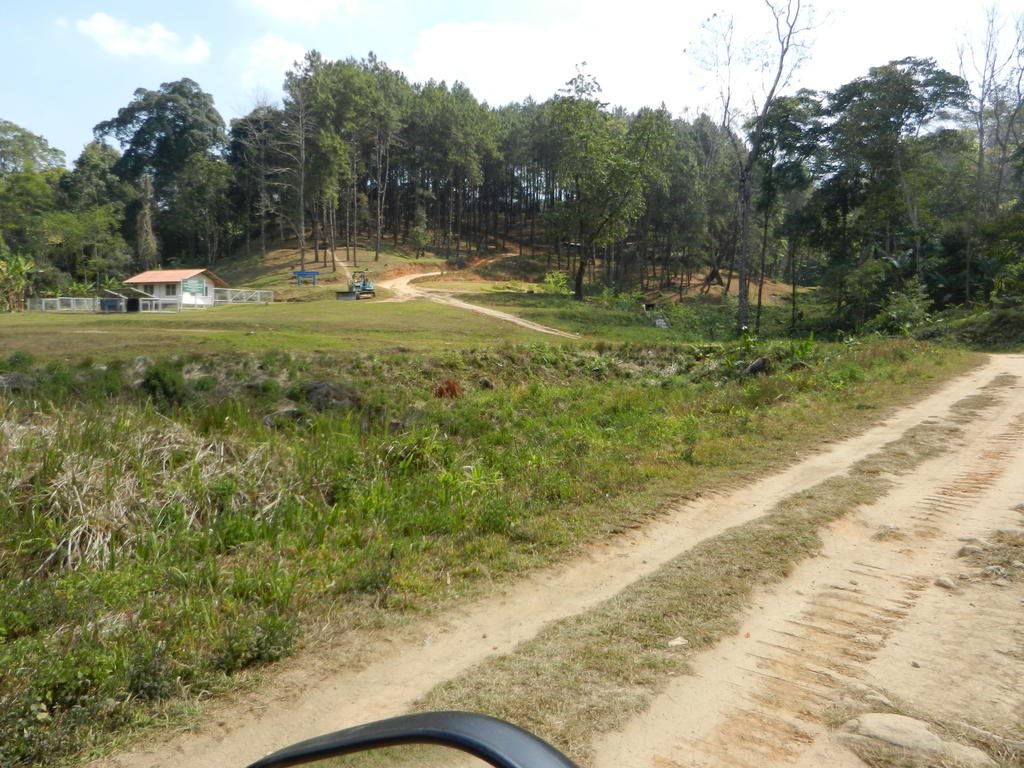
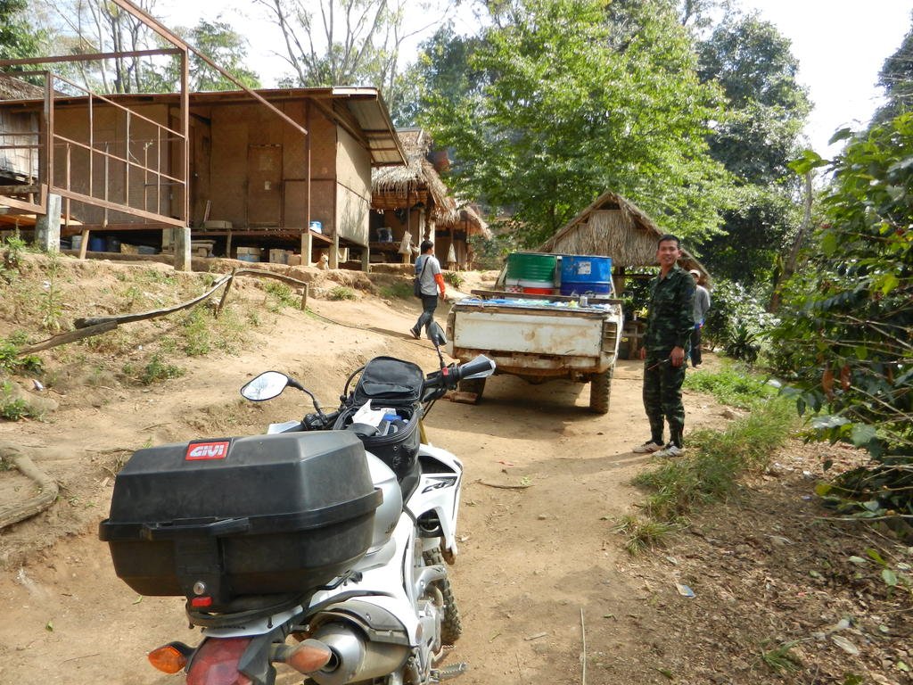
Thank F for that, it had to improve now. Well, I ended up ina dead end in a small military camp, where they indicated the correct track was a few hundred mtrs back, so off I went again, only to end up in another one the other side of a river. They seemed quite surprised to see me, gave me some water and offered me some vodka. Tempting but possibly not. A soldier then hopped on the back and showed me the right track - fairly insignificant compared to the solid camp tracks.
Anyway, at least the 'dozer had been up this one, things must improve now!

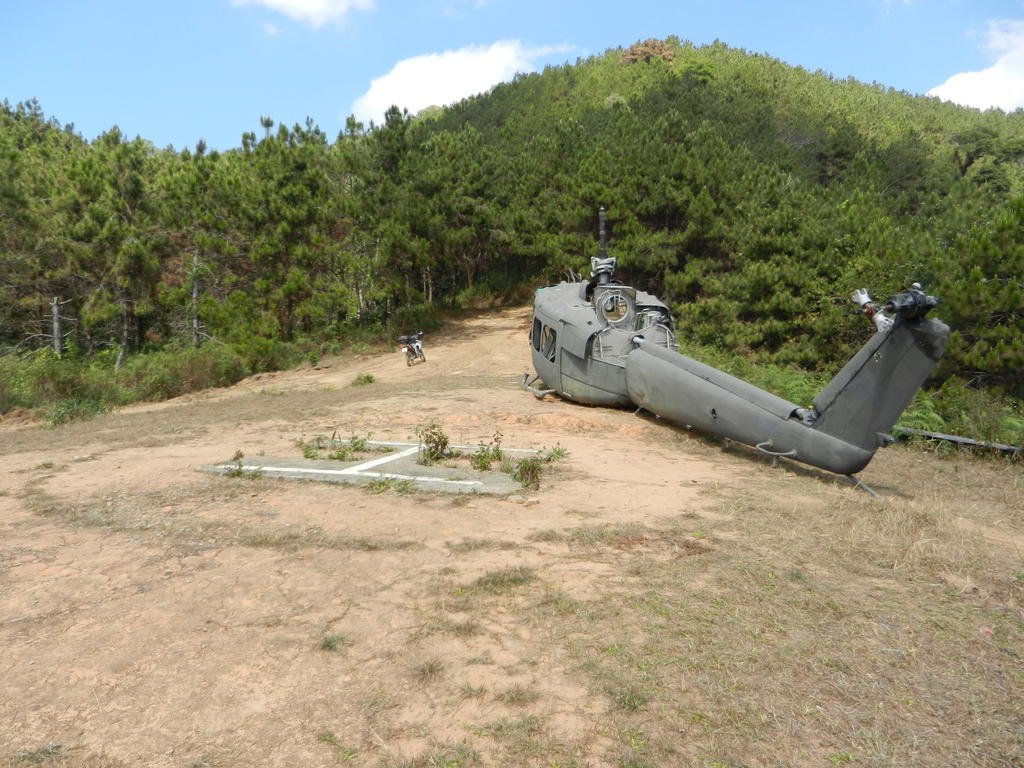
But at least I got to 'bag' the Huey. There were times I thought the CRF would be another landmark.
Well, it did a bit, and I was happier knowing there was help reasonably close and someone knew I was there. Although loss of the bike was no longer such a worry the steep rocky dusty rutty 'road' continued most of the way to Pai where I had now decided to head for. As it was I eventually dropped it on a steep dusty rutty downhill where the brakes seemed to lose any ability to slow me down, the back slid into a rut and I ate dust.
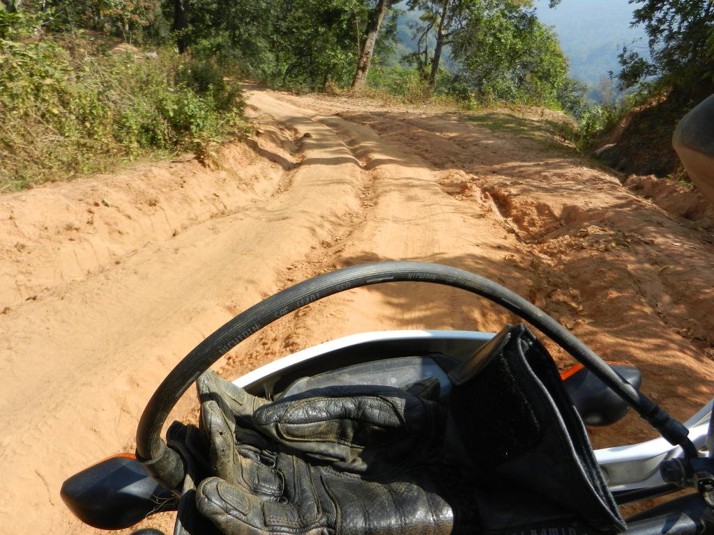
Still, by now parts were almost enjoyable, at every sign of civiliseation the track improved a blast long, and Pai got closer and closer.
I stopped at a junction to check the 'map' and have a breather, then noticed the distorted bodywork round the rad. Sheeit, I realised it wouldn't have taken much more to scrap it, then I would have been really bolloxed- although by that point a wad of notes and a pickup were at least an option.
Now in Pai on second beer and what have I learnt?
1. Know when to quit, but sometimes the point of no return is passed without realising it.
2. Googlearth out of the way trails before attempting.
3. Perhaps I should stick to something cushy and unstressfull like white water rafting or baiting rabid rottweilers.
Odd how a few days ago I realised my ride on the 'Elephant Trail' via Wat Chan was revisiting my first complete 'out of depth' experience riding in Thailand two years ago on a rented CBR250 when Pai, which I am a bit cynical about, became the most wonderfull welcoming oasis since 'Beau Geste' got lost in the desert.
After the last few days of tracks I had decided an easy day was in order.
From Soppong, OSMAND showed white and yellow thick solid roads to Ban Arunothai, no dotted tracks at all. Should be a breeze so I made a late morning start after pottering around the Tuesday market in Soppong.

It started well enough-


The first 20 or so k went ok, then I hit my real weak spot, thick bull dust. It went on for around 20k's and I kept thinking 'It'll get better soon'.

Every so often there would be a respite of some solid stuff, and eventually I came to a small village where the track forked. I followed what I thought was the right track and was bought to a halt by a river and a herd of sleepy buffalo.


I slowed right down so as not to spook them but they shifted real fast, luckily in the opposite direction. Thinking this can't be right, I did a 'U'ie back to the village, only to end up in a dead end in the centre and a school yard.

Trying to ask the way resulted in lot's bashfull titters from the girls at a noodle shop but they directed me to the mater out back, and she indicated I did in fact need to cross the river. So for the first time I got my boots wet. It was surprisingly easy which might have given me a false sense of security but this should have been a warning that this was not a regular throughfare.
More bull dust then the track seemed to narrow to single way. Then it became more rocky and vertically challenging, and the ruts became small ravines. I carried on thinking again it would improve but it got steadily worse. I checked I was still on course and thought of turning back but some of the worst rocky bits had been uphill and I really didn't fancy trying them downhill, let alone all the soft stuff again.


Soon it got to the point where parts were less than 6'' wide with crevasses several feet deep each side - and I started to worry. If I put a wheel wrong by inches I would drop into a rut and no way would I get the bike out, also I could see no way a 4x4 could have rescued me and carted the bike to safety. I told myself if I got out of this I was going to visit a Wat and light a candle, then get really drunk.
This went on for @25k, until I came down a hill and spotted some buildings and a bulldozer.


Thank F for that, it had to improve now. Well, I ended up ina dead end in a small military camp, where they indicated the correct track was a few hundred mtrs back, so off I went again, only to end up in another one the other side of a river. They seemed quite surprised to see me, gave me some water and offered me some vodka. Tempting but possibly not. A soldier then hopped on the back and showed me the right track - fairly insignificant compared to the solid camp tracks.
Anyway, at least the 'dozer had been up this one, things must improve now!

But at least I got to 'bag' the Huey. There were times I thought the CRF would be another landmark.

Well, it did a bit, and I was happier knowing there was help reasonably close and someone knew I was there. Although loss of the bike was no longer such a worry the steep rocky dusty rutty 'road' continued most of the way to Pai where I had now decided to head for. As it was I eventually dropped it on a steep dusty rutty downhill where the brakes seemed to lose any ability to slow me down, the back slid into a rut and I ate dust.


Still, by now parts were almost enjoyable, at every sign of civiliseation the track improved a blast long, and Pai got closer and closer.
I stopped at a junction to check the 'map' and have a breather, then noticed the distorted bodywork round the rad. Sheeit, I realised it wouldn't have taken much more to scrap it, then I would have been really bolloxed- although by that point a wad of notes and a pickup were at least an option.
Now in Pai on second beer and what have I learnt?
1. Know when to quit, but sometimes the point of no return is passed without realising it.
2. Googlearth out of the way trails before attempting.
3. Perhaps I should stick to something cushy and unstressfull like white water rafting or baiting rabid rottweilers.


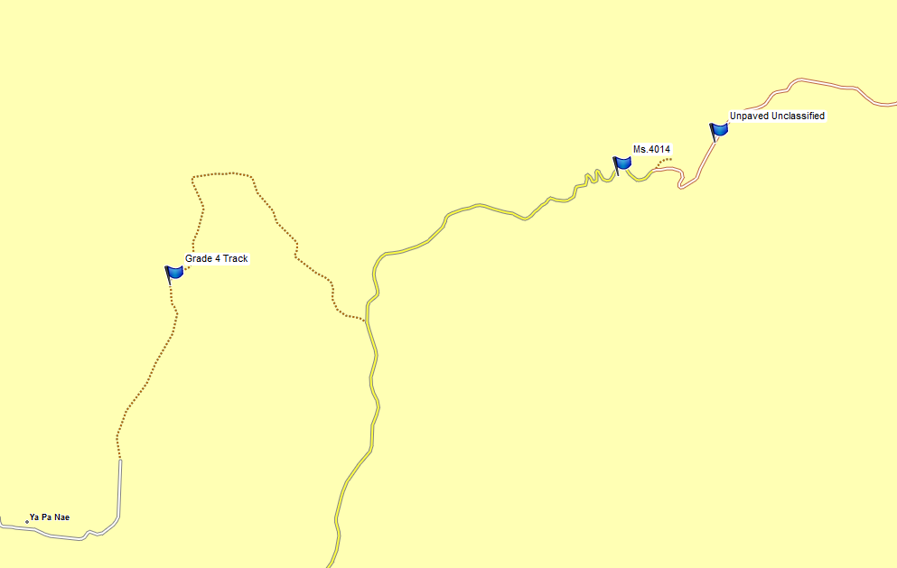
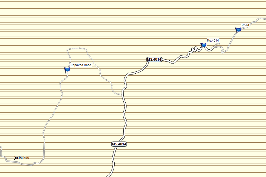
 the NT map does a very good job of guiding you along the tracks in that area.