johnnysneds
Senior Member
- Joined
- May 14, 2011
- Location
- Chiang Mai
- Bikes
- Multistrada 1200S Touring, WR450F, KTM200EXC, Gas Gas 280, PCX
So eventually got my Montana, time to see what all the fuss was about with the birds-eye imagery that Garmin offers from their website for $29.99 (one year subscription).
You need to have Garmin's Basecamp which is a free download.
So I thought I would download the Birdseye Imagery for a trail I have done in Ob Khan National Park a few times. Its good the way you can select around the trails to limit your download data. Below is the selection I made, it was around 5Mb and downloaded in less than a minute. You also have the option to upload it to your device.

All looking good until you start zooming into the detail. Below is a zoomed image of the trail just after the quality deteriorates.

And here's the Google Earth image of the same trail.

And the Google Earth image will still go further into greater detail.
Another problem is the North Thailand Dirt Map Trails will not overlay onto it properly on the device but seems to be fine in Basecamp. Does anyone know why this is?
The imagery on the device of the the downloaded content is also very bright/flared and not very readable. Maybe there is a setting for this somewhere!
Its a great idea and would be awesome with a decent topo map overlaying it. But for now it doesn't seem worthwhile probably due to the lack of Thailand coverage.
Now there must be a way to use those fantastic Google Earth Images instead...
I also found a cool piece of software called topofusion http://www.topofusion.com but I fear this will no doubts suffer the same fate as Garmin and its Birdseye Imagery with regards to Thailand.
You need to have Garmin's Basecamp which is a free download.
So I thought I would download the Birdseye Imagery for a trail I have done in Ob Khan National Park a few times. Its good the way you can select around the trails to limit your download data. Below is the selection I made, it was around 5Mb and downloaded in less than a minute. You also have the option to upload it to your device.

All looking good until you start zooming into the detail. Below is a zoomed image of the trail just after the quality deteriorates.

And here's the Google Earth image of the same trail.

And the Google Earth image will still go further into greater detail.
Another problem is the North Thailand Dirt Map Trails will not overlay onto it properly on the device but seems to be fine in Basecamp. Does anyone know why this is?
The imagery on the device of the the downloaded content is also very bright/flared and not very readable. Maybe there is a setting for this somewhere!
Its a great idea and would be awesome with a decent topo map overlaying it. But for now it doesn't seem worthwhile probably due to the lack of Thailand coverage.
Now there must be a way to use those fantastic Google Earth Images instead...
I also found a cool piece of software called topofusion http://www.topofusion.com but I fear this will no doubts suffer the same fate as Garmin and its Birdseye Imagery with regards to Thailand.


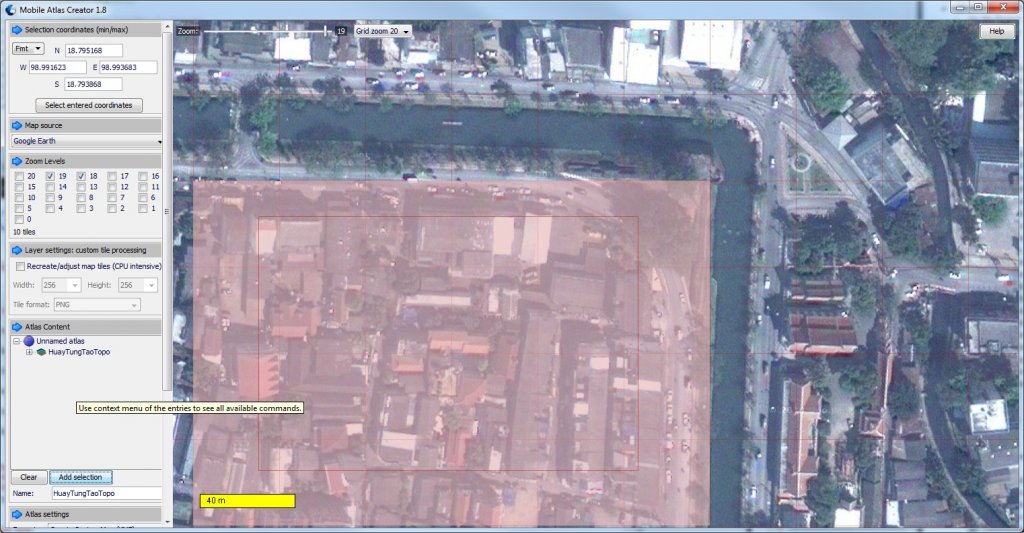
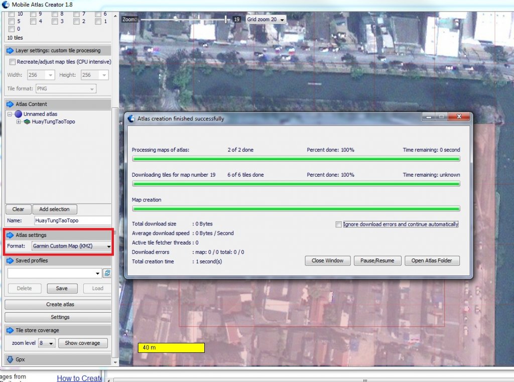

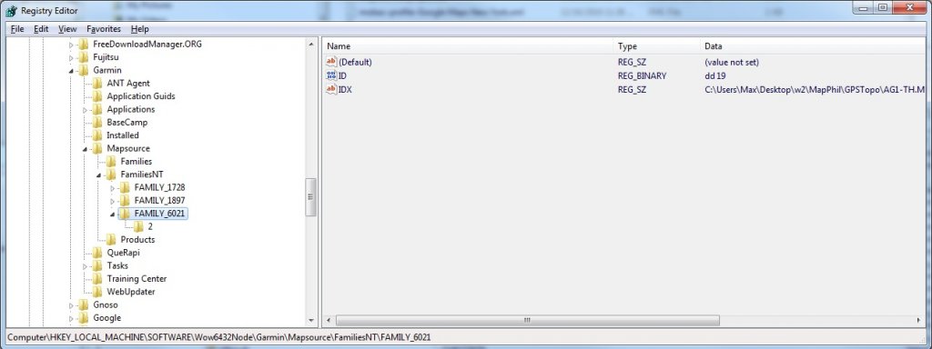
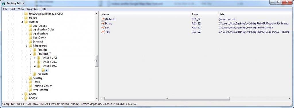
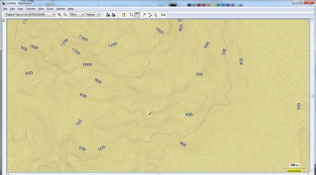
 I dont have "Google Earth" as a Map Source option as per your first image.